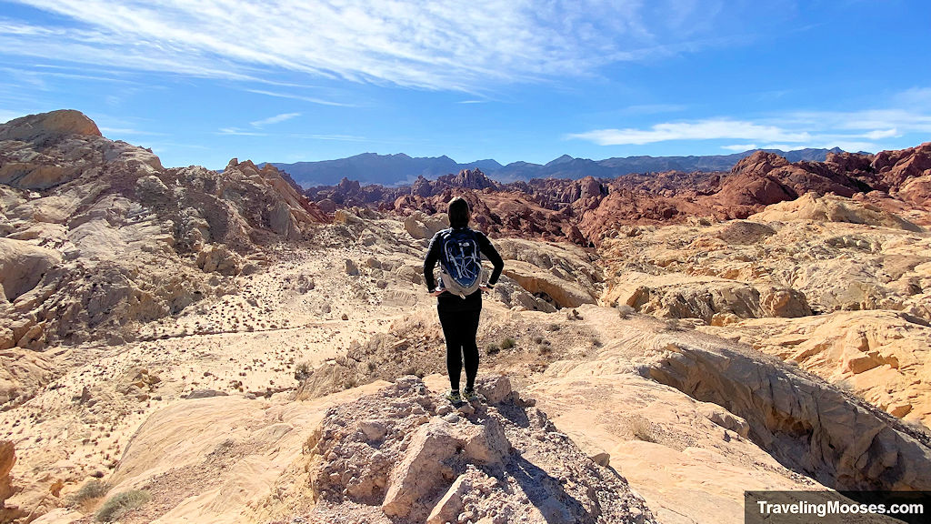
Find your next hiking adventure!
Arizona | California | Colorado | Nevada | Utah
Arizona
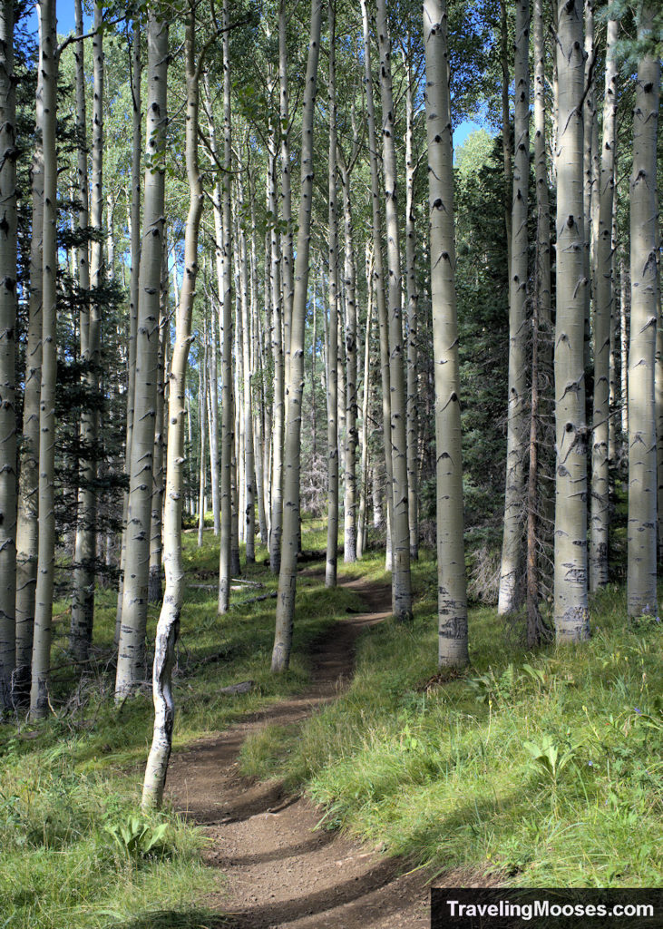
Explore the Aspen Loop Nature Trail – Flagstaff, AZ
Located near the Snowbowl Ski Resort in Flagstaff, Arizona, the Aspen Loop trail is a short and sweet hike which takes adventurers through gorgeous aspen trees, meadows of wildflowers and epic views of Humphreys Peak.
- Distance (RT): 2.5 Miles
- Difficulty: Easy
Learn more about the Aspen Loop Trail.
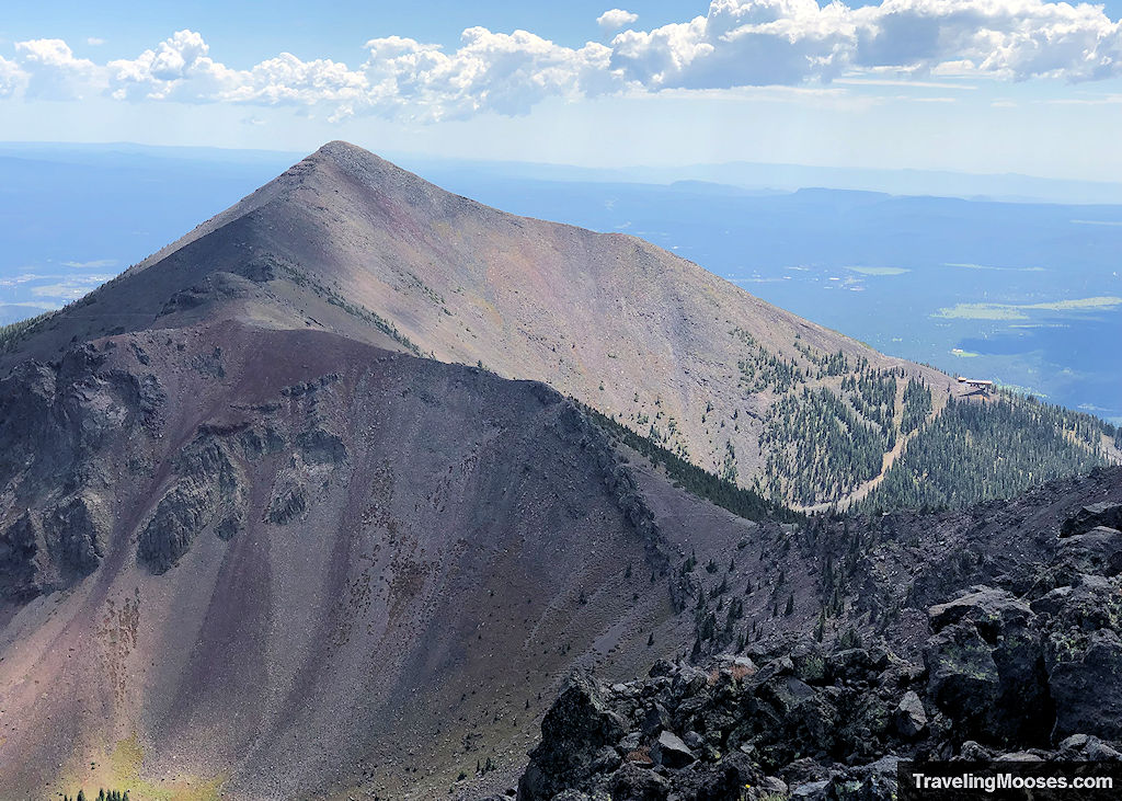
Humphrey’s Peak – Flagstaff, AZ
Humphreys Peak Trail (No. 151) is a steep mountain trail that takes hikers to the highest point in all of Arizona. Located next to the Snowbowl Resort near Flagstaff, Arizona, hikers will be awed by sweeping views, seasonal wildflowers, an optional visit to the site of a B-24 Bomber plane crash, and bragging rights for summiting the 12,633’ dormant volcano.
- Distance (RT): ~10.5 – 11 miles
- Difficulty: Strenuous
Learn more about Humphreys Peak.
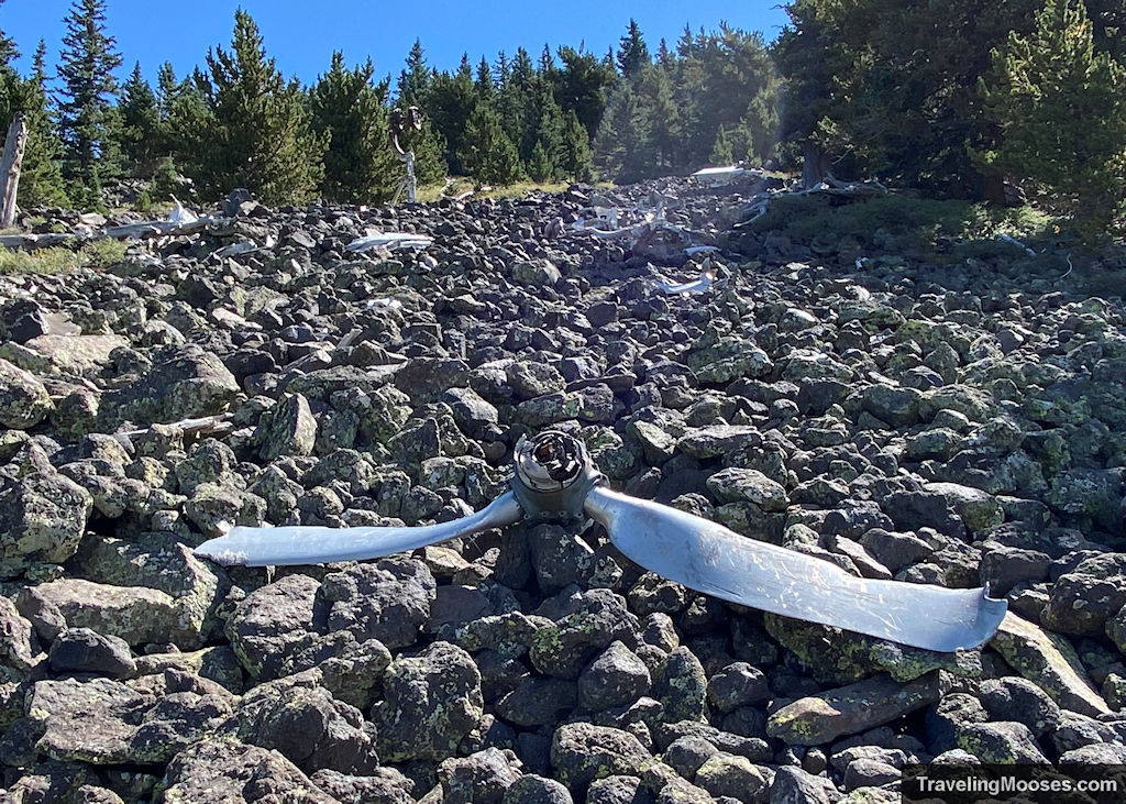
B-24 Plane Crash – Flagstaff, AZ
Humphreys Peak trail is a steep mountain path that takes hikers to highest point in all of Arizona. At approximately 11,000 feet, you’ll find the crash site of a B-24 Bomber that smashed into the mountainside, killing all those onboard.
- Distance (RT): ~7.0 Miles
- Difficulty: Strenuous
Learn more about the finding the B-24 plane crash.
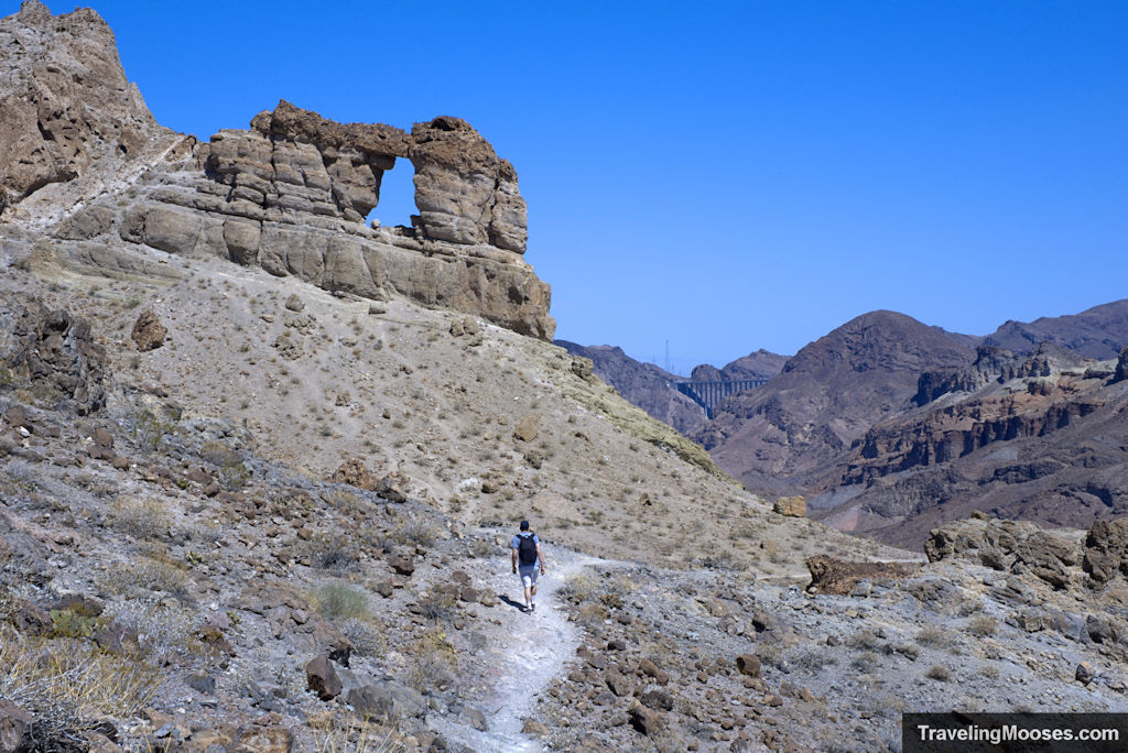
Liberty Bell Arch – Willow Beach, AZ
The Liberty Bell Arch and Colorado Overlook hike just south of the Hoover Dam boast epics views, rich history and a great workout to round out your day.
- Distance (RT): ~5.1 Miles
- Difficulty: Moderate
Learn more about the Liberty Bell Arch hike.
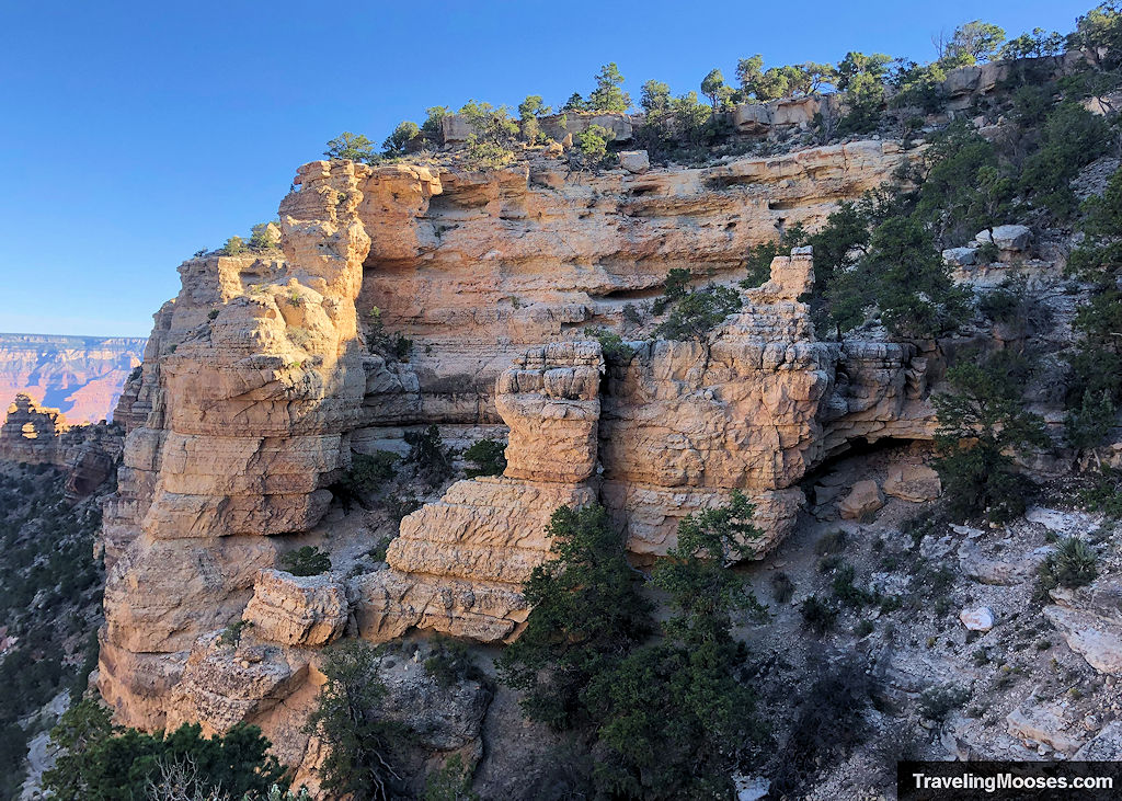
South Kaibab Trail – Grand Canyon, AZ
The South Kaibab trail, located on the south rim of the Grand Canyon, takes hikers along an epic trail into the canyon. Whether you choose a short-day hike, or traverse all the way to canyon floor, expansive views and adventure awaits.
- Distance (RT): Varies between 1.8 to 12.6 miles round trip
- Difficulty: Very difficult
Learn more about the South Kaibab trail.
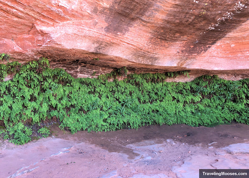
Hanging Garden Trail – Page, AZ
The Hanging Garden trail found near the Glen Canyon Dam in Page, Arizona leads hikers to a “not-so” secret desert oasis. Hikers will enjoy an easy stroll across the desert landscape and end at a lush spring-fed group of plants nestled under the wall of a towering cliff.
- Distance (RT): 1.5 miles round trip
- Difficulty: Easy
Learn more about the Hanging Garden trail.
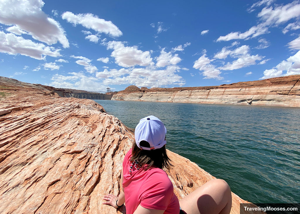
The Chains – Page, AZ
The Chains is a fun filled hike that takes adventurers across unique sandstone and down to the edge of the Colorado River. Hikers will enjoy views of beautiful canyon walls, the Glen Canyon Dam and have the opportunity to go for a quick dip in the cool waters if they desire.
- Distance (RT): Varies ~0.5 – 2 miles, depending on how long you explore.
- Difficulty: Moderate
Learn more about The Chains trail.
California
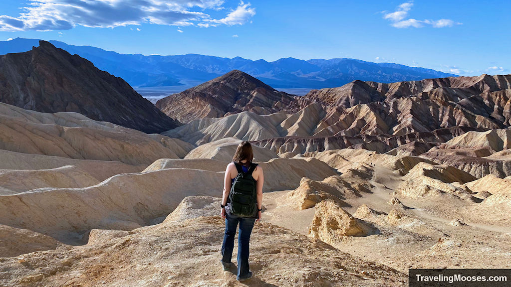
Gower Gulch Loop & Red Cathedral – Death Valley, CA
Located in the heart of Death Valley, the Golden Canyon trailhead leads hikers through the golden hills of Gower Gulch. Famous for its ties to Star Wars, this unique trail is sure to impress.
- Distance (RT): ~4.3 Miles for Gower Gulch + 1.0 miles for Red Cathedral
- Difficulty: Moderate
Learn more about the Gower Gulch Loop & Red Cathedral.
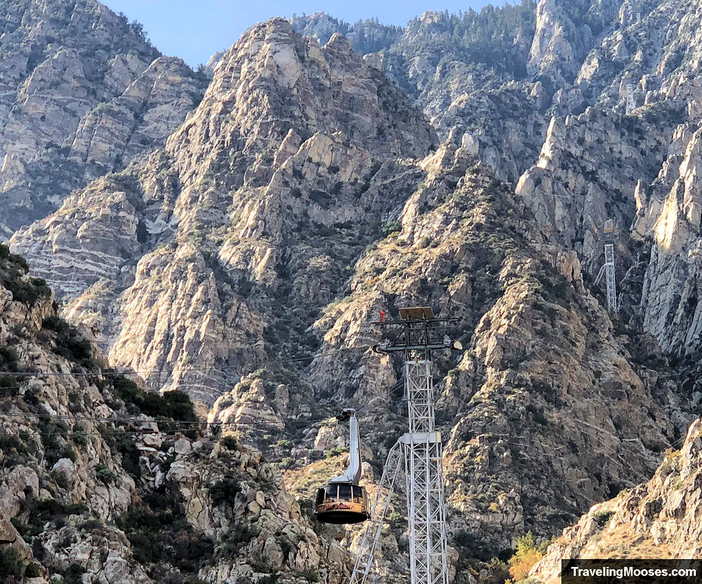
San Jacinto Peak via the Aerial tramway – Palm Springs, CA
Summit the 10,834′ San Jacinto Peak via the Aerial Tramway in Palm Springs, CA. The 11-mile round trip hike features epic views, potential wildlife sightings and bragging rights for summitting the large peak.
- Distance (RT): ~11 miles
- Difficulty: Strenuous
Learn more about San Jacinto Peak.
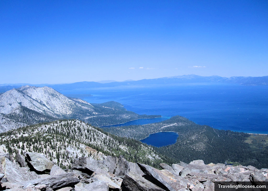
Summit Mt. Tallac – South Lake Tahoe, CA
Located near beautiful South Lake Tahoe, CA, this 10.0 round trip hike offers expansive views of the mountains, wildlife, wildflowers and of course Lake Tahoe itself.
- Distance (RT): ~10.0 miles
- Difficulty: Strenuous
Learn more about the Mt. Tallac hike.
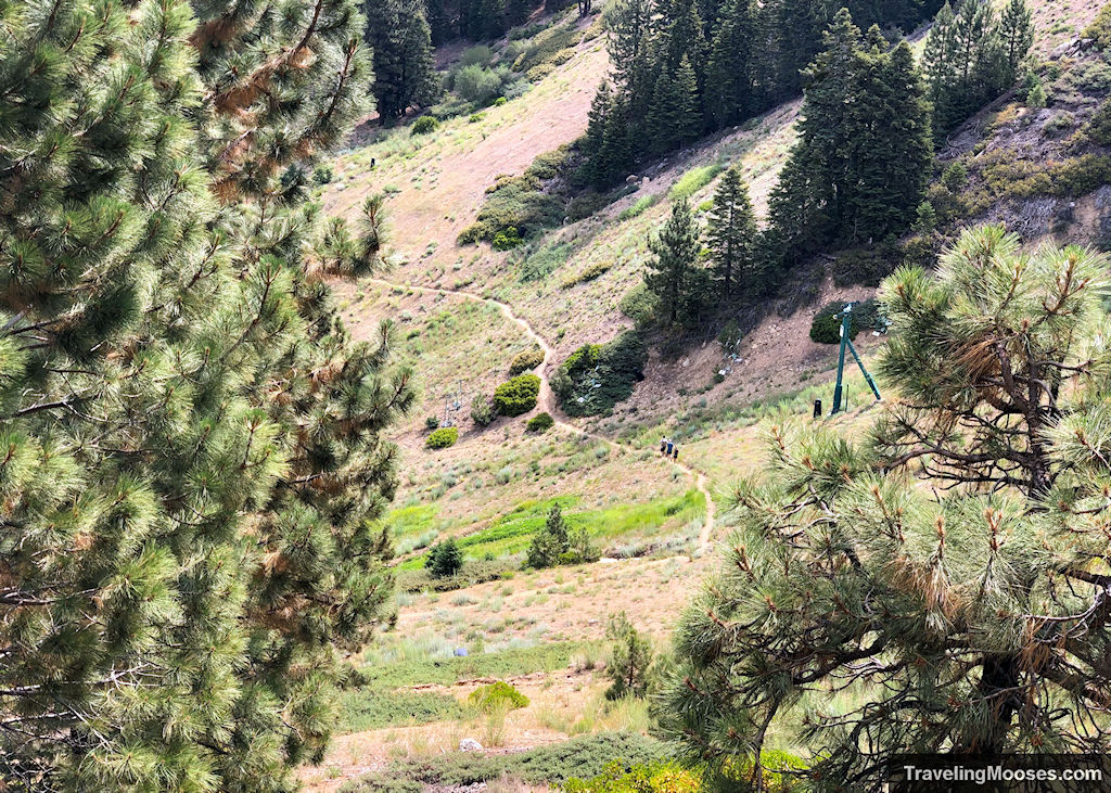
Bobsled Hiking Trail – Big Bear, CA
The Bobsled Hiking trail is a great hike up to the top of Snow Summit at Big Bear in California. This 2.0-mile hike features gorgeous views of Big Bear Lake, seasonal wildflowers and the chance to watch mountain bikers zoom down the slopes.
- Distance (RT): ~4.0 miles
- Difficulty: Moderate
Learn more about the Bobsled hiking trail.
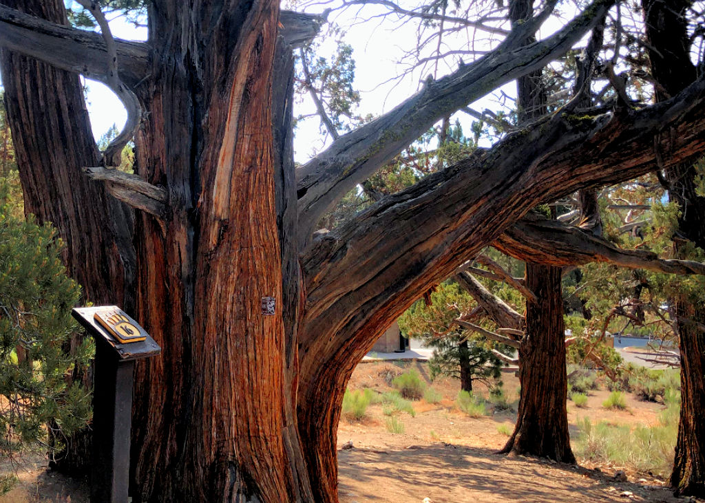
Woodland Interpretive Trail – Big Bear, CA
The Woodland Interpretive Trail (also known as 1E23) is located just 1 mile east of the Big Bear Discovery center. This easy trail takes hikers through an adventure of history and education in the heart of Big Bear Lake, CA.
- Distance (RT): ~1.5 miles
- Difficulty: Easy
Learn more about the Woodland Interpretive trail.
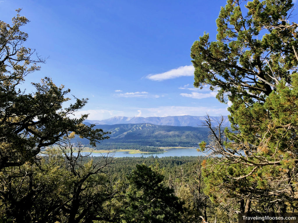
Bertha Peak vs Cougar Crest Trail – Big Bear, CA
Located on the North Shore of Big Bear Lake in California, the Cougar Crest Trail to Bertha Peak hike boasts scenic views of Big Bear Lake, beautiful wildflowers, old growth forests and lots of lizards.
- Distance (RT): ~7.5 miles
- Difficulty: Moderate
Learn more about Bertha Peak.
Colorado
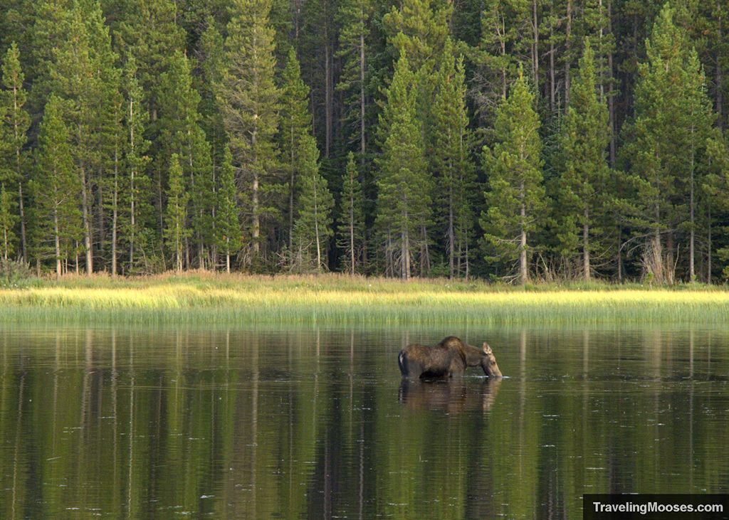
Bierstadt Lake Trail – Rocky Mountain National Park, CO
Nestled in the heart of the Bear Lake Corridor in Rocky Mountain National Park, this less traveled hike leads to a beautiful lake and affords hikers an opportunity to see a local family of moose that call the area home.
- Distance (RT): ~3.2 miles
- Difficulty: Moderate
Learn more about the Bierstadt Lake Trail.
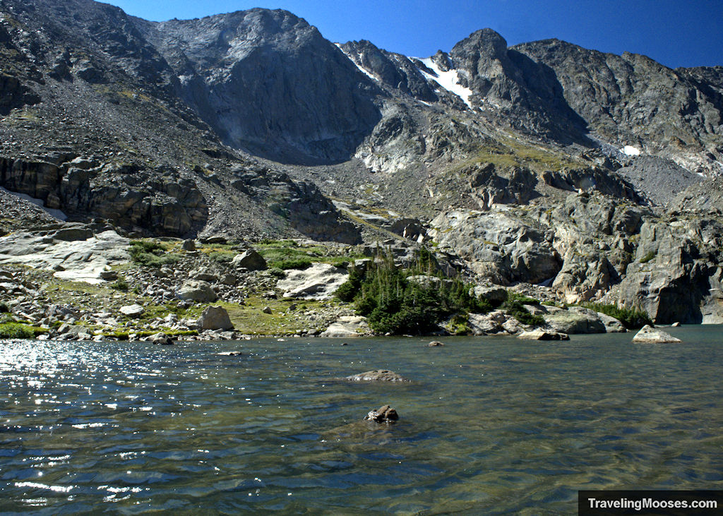
Sky Pond via Glacier Gorge – Rocky Mountain National Park, CO
Sky Pond is one of the most beautiful lakes in the Rocky Mountain National Park. The Sky Pond via Glacier Gorge trail takes you past glimmering lakes, large waterfalls, cascading streams, wildlife, and sweeping views of forests and mountains. By far, this is our favorite hike in Rocky Mountain National Park.
- Distance (RT): ~10.0 miles
- Difficulty: Strenuous
Learn more about the Sky Pond hike.
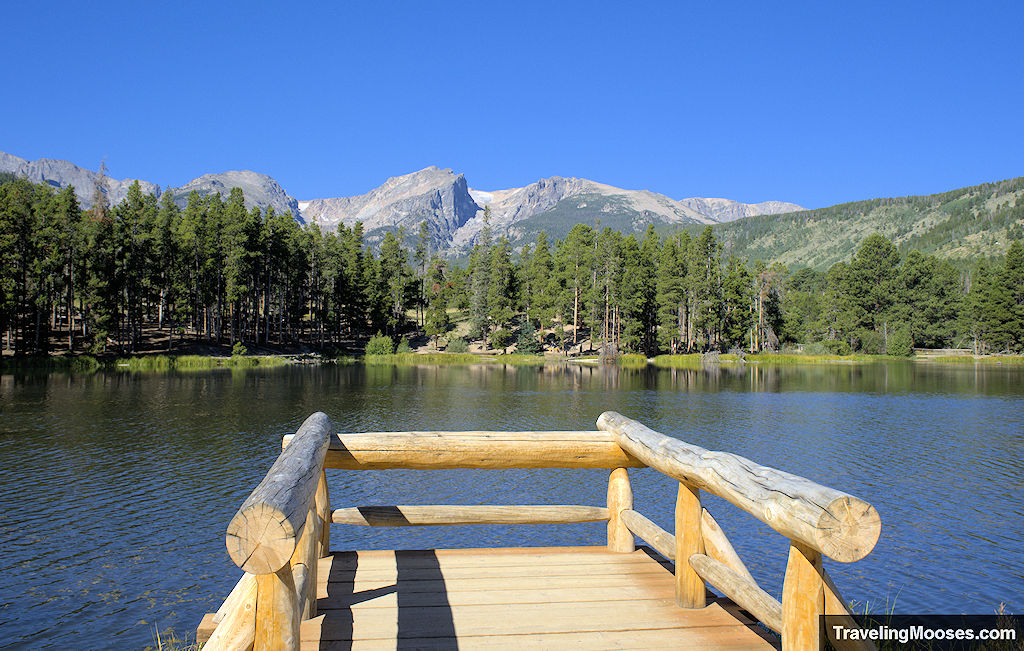
Sprague Lake Trail – Rocky Mountain National Park, CO
The Sprague Lake trail offers awe-inspiring views of the Colorado Rockies, a pleasant stroll around a beautiful lake, and the occasional wildlife sighting. This is also a popular place for weddings.
- Distance (RT): ~0.8 miles
- Difficulty: Easy
Learn more about the Sprague Lake Trail.
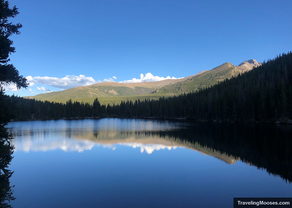
Bear Lake Trail – Rocky Mountain National Park, CO
Each year, Bear Lake attracts visitors from all over the world and has remained one of the most popular short hikes in RMNP. You’ll find this gorgeous alpine lake and the trailhead in the shadows of Hallett Peak and the Continental Divide along the Bear Lake Corridor.
- Distance (RT): ~0.7 miles
- Difficulty: Easy
Learn more about Bear Lake.
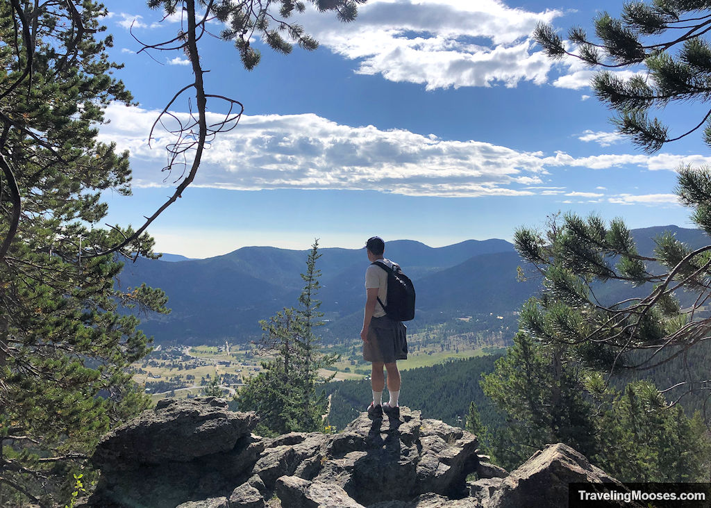
Teddy’s Teeth – Estes Park, CO
Teddy’s Teeth, also known as Ram’s Horn Mountain, is located near Estes Park, CO, just outside the official boundary of the Rocky Mountain National Park. This hike features incredible 180-degree views of the surrounding mountains and the city of Estes Park.
- Distance (RT): ~2.0 miles
- Difficulty: Moderate
Learn more about Teddy’s Teeth.
Nevada
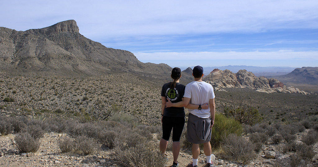
Hiking Guide – Las Vegas, NV
An essential local’s guide to hiking in the Las Vegas area, including where to go and what to see!
Learn more about hiking in Las Vegas!
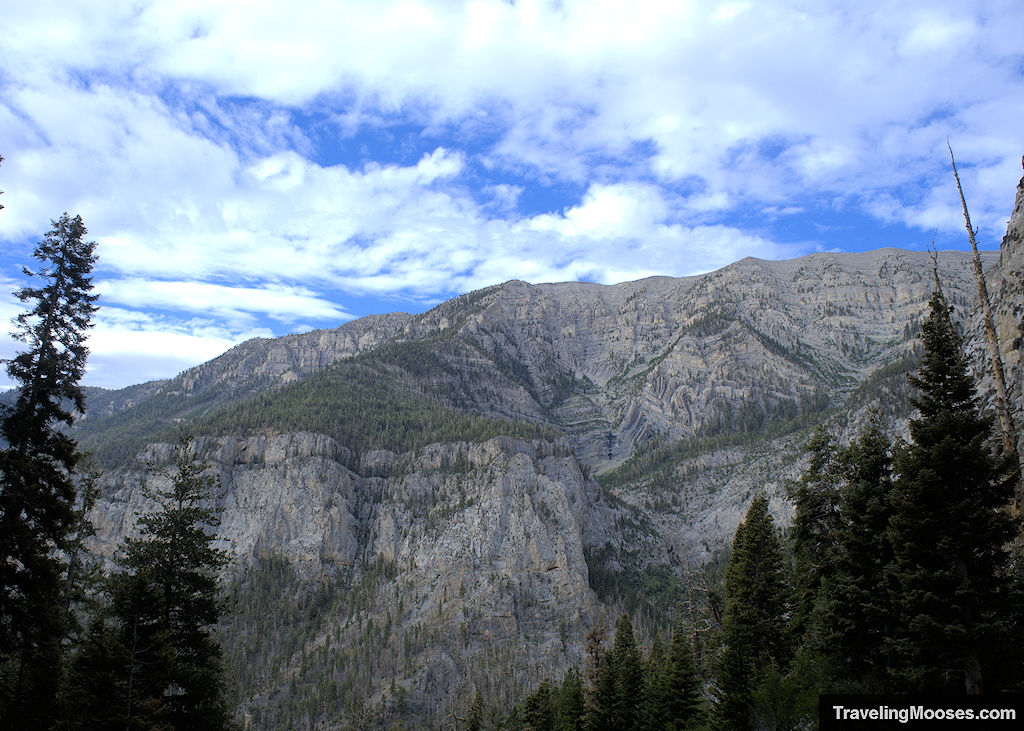
Amazing hikes in Mt. Charleston, NV
Mount Charleston Peak stands proud in the Spring Mountains at 11,916’ above sea-level. In the shadows of the mountain, you’ll find a recreation area filled with amazing hiking trails.
From impressive alpine views to larger-than life slot canyons, you won’t want to miss these epic Mount Charleston hikes.
Learn more about hiking Mt. Charleston
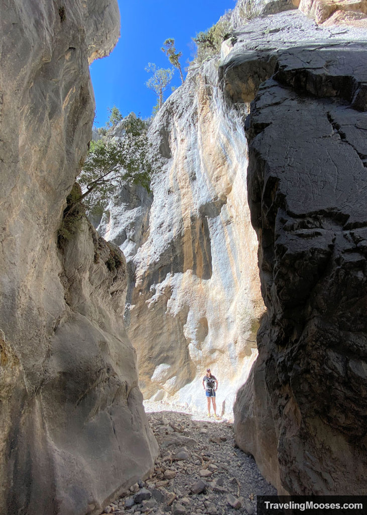
Fletcher Canyon – Mt. Charleston, NV
Fletcher Canyon trail is a moderate hike with beautiful views of the Spring Mountains, seasonal wildflowers and ends in a captivating journey through a variety of towering slot canyons.
- Distance (RT): ~3.6 miles
- Difficulty: Moderate
Learn more about Fletcher Canyon.
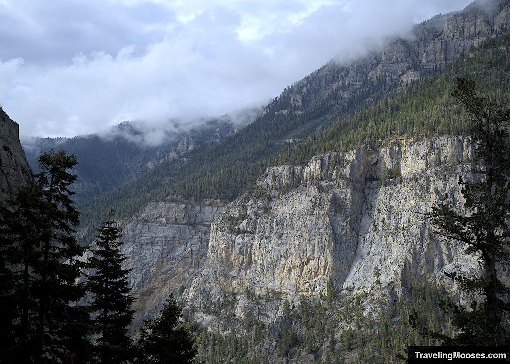
Mary Jane Falls – Mt. Charleston, NV
Mary Jane Falls trail is an extremely popular hike in the Mt. Charleston wilderness area that leads hikers to a seasonal waterfall. This moderate hike showcases epic views of the Spring Mountains, seasonal wildflowers and caves to explore near the waterfall.
- Distance (RT): ~3.7 miles
- Difficulty: Moderate
Learn more about Mary Jane Falls.
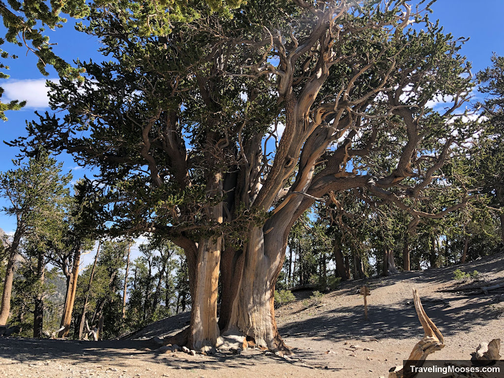
Raintree Trail – Mt. Charleston, NV
The Raintree trail is a popular 2.7-mile trek (each way) that takes hikers through scenic forests, past epic views and culminates in what many believe to be the oldest living thing in Nevada, a 3,000-year-old massive bristlecone tree.
- Distance (RT): ~5.4 miles
- Difficulty: Moderate
Learn more about Raintree.
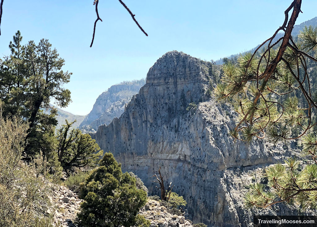
Cathedral Rock – Mt. Charleston, NV
This short hike is packed with adventure as you traverse to the summit of Cathedral Rock. Hikers will enjoy seasonal wildflowers, views of nearby peaks including, Mt. Charleston, Griffith, and Mummy Mountain, and be greeted by a large group of chipmunks at the summit.
- Distance (RT): ~2.8 miles
- Difficulty: Moderate
Learn more about Cathedral Rock.
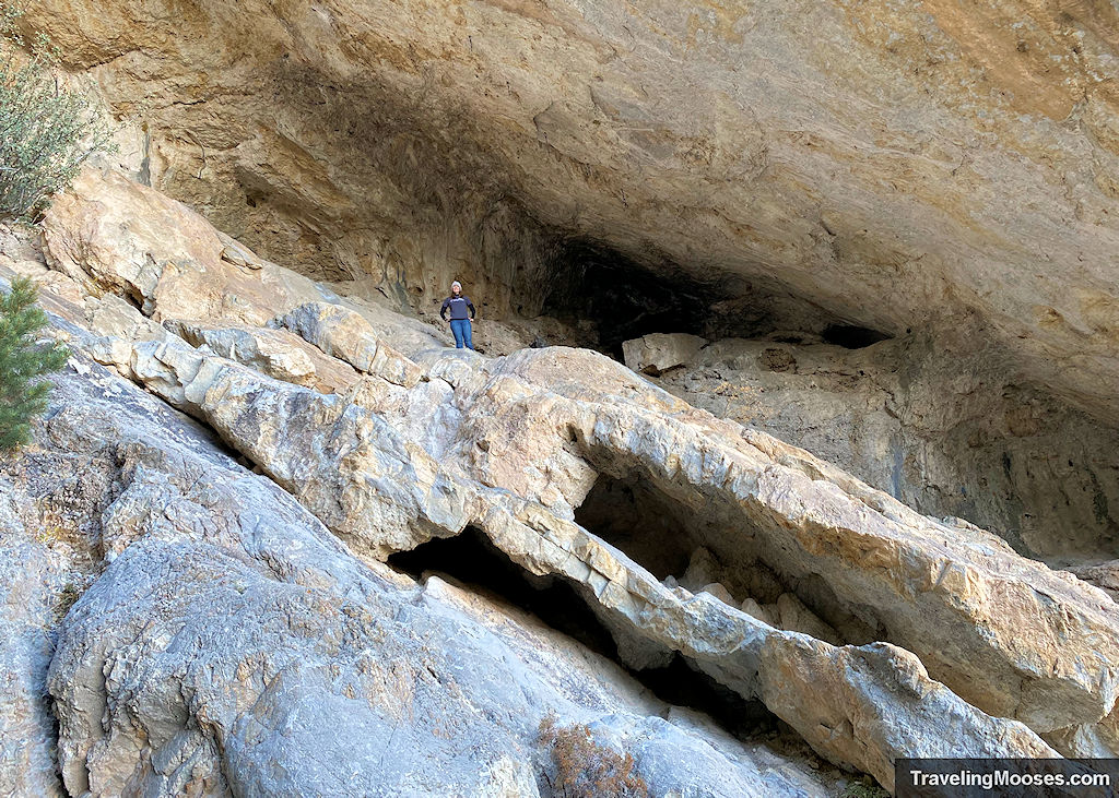
Robber’s Roost – Mt. Charleston, NV
Robber’s Roost trail tells a legendary tale of a horse thieves’ hideout in the late 1800s. Explore the caves, watch as brave climbers scale the limestone cliffs and enjoy all the wonders this trail has to offer.
- Distance (RT): ~0.4 miles
- Difficulty: Moderate/ Strenuous (due to optional scrambling in cave area)
Learn more about Robber’s Roost.
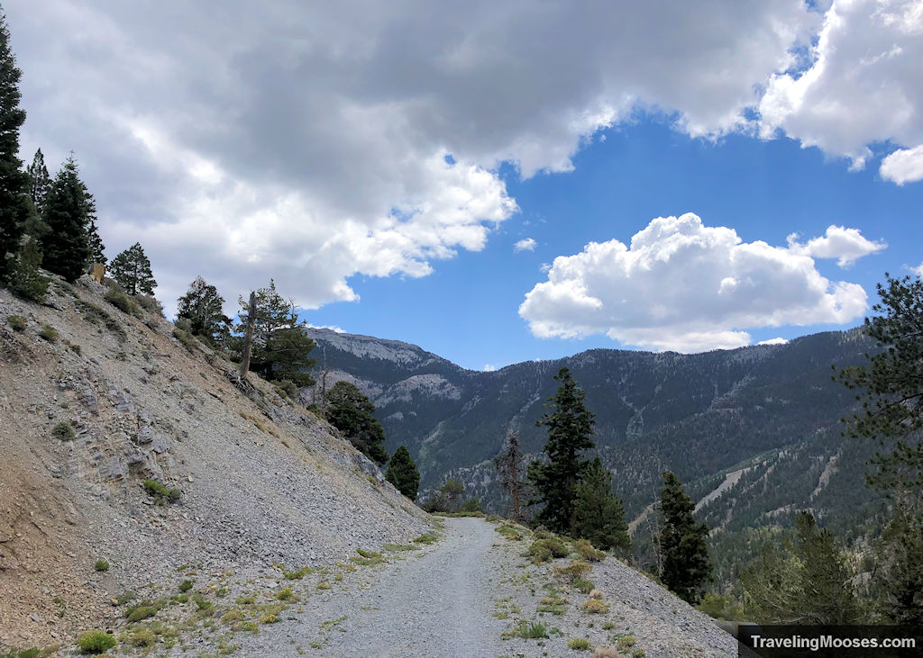
Upper & Lower Bristlecone Loop – Mt. Charleston, NV
The Bristlecone loop trail is located near the Lee Canyon ski resort. The hike offers expansive views, pleasantly cooler temperatures than the Las Vegas valley and the chance to glimpse wild horses frolicking in the hills.
- Distance (RT): ~6.3 miles
- Difficulty: Moderate
Learn more about Bristlecone.
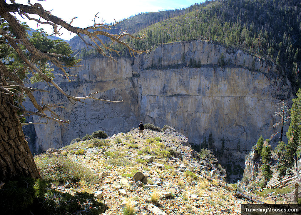
Echo Overlook Trail – Mt. Charleston, NV
Hikers will wind through fields of gorgeous wildflowers, past the towering Echo Cliffs and enjoy views of nearby Cathedral Rock, Charleston Peak and Fletcher Peak.
- Distance (RT): ~4.6 miles
- Difficulty: Moderate/Hard
Learn more about Echo Overlook.
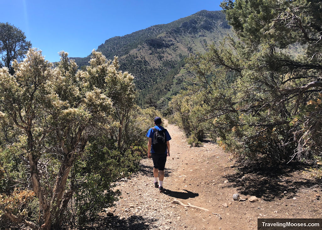
Eagle’s Nest – Mt. Charleston, NV
Enjoy beautiful views of Cathedral Rock, the Spring Mountains and seasonal wildflowers on this easy hike through the Mt. Charleston Wilderness area.
- Distance (RT): ~2.7 miles
- Difficulty: Easy
Learn more about Eagle’s Nest.
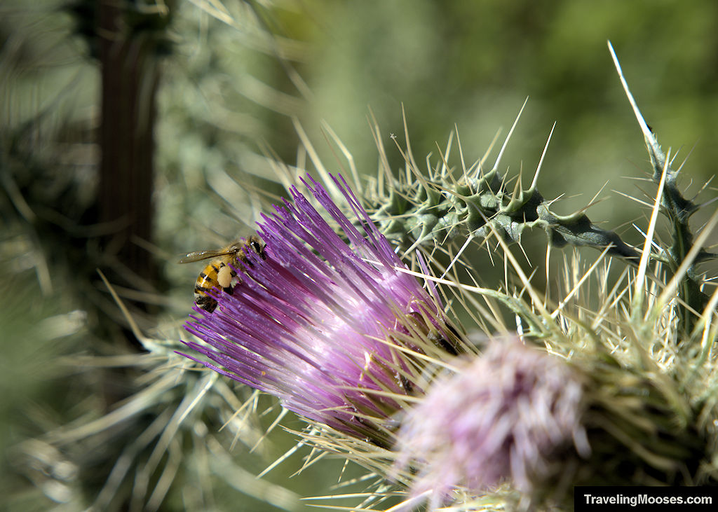
Mummy Springs – Mt. Charleston, NV
Mummy Springs is a year-round spring located near the Raintree around 3 miles from the North Loop trailhead. Although it’s typically a trickle in the summer months, hikers will enjoy a variety of foliage and seasonal wildflowers surrounding the spring, along with grand views of the Vegas Valley.
- Distance (RT): ~6.0 miles
- Difficulty: Moderate
Learn more about Mummy Springs.
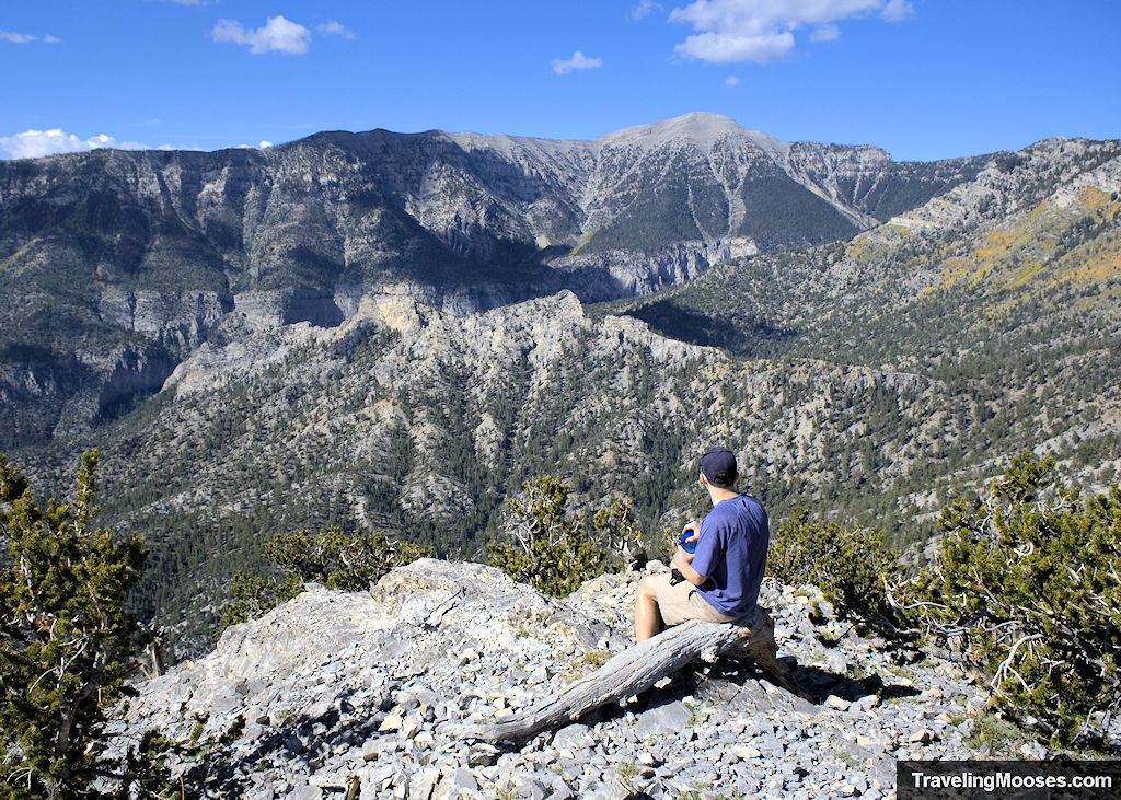
Fletcher Peak – Mt. Charleston, NV
Fletcher Peak stands tall in the Spring Mountains at 10,319′. Hikers will be thrilled with epic views, wildflowers, wildlife (including birds and the endangered Mt. Charleston Blue Butterfly), and an optional trip to a 3,000-year-old bristlecone tree.
- Distance (RT): ~7.2 miles
- Difficulty: Moderate/Hard
Learn more about Fletcher Peak.
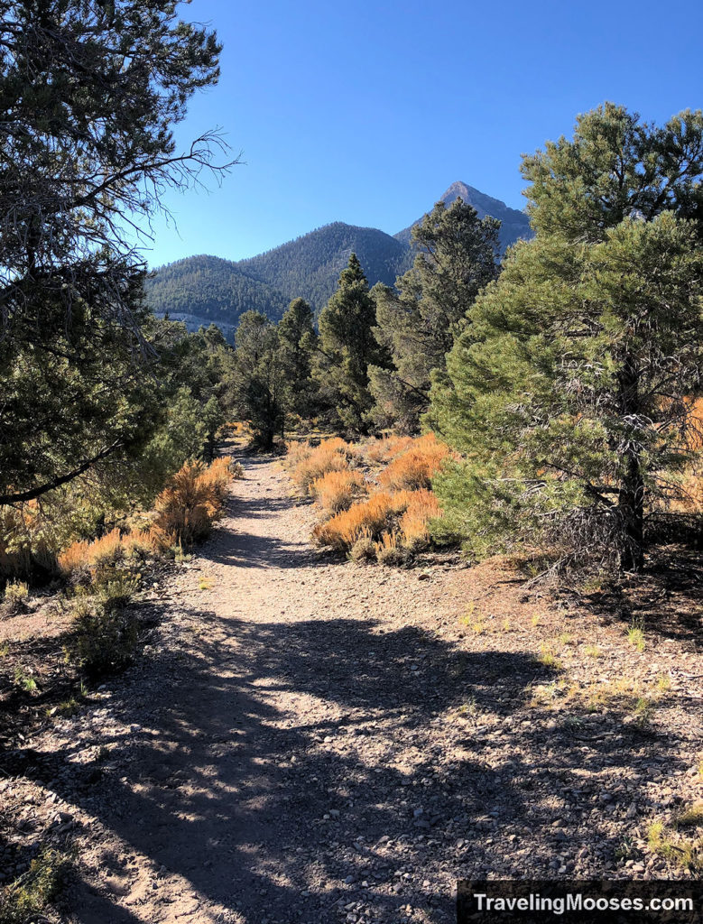
Sawmill Loop Trail – Mt. Charleston, NV
The Sawmill loop trail is a short 1.3-mile loop trail that is popular with hikers, bikers and horseback riders.
- Distance (RT): ~1.3 miles
- Difficulty: Easy
Learn more about Sawmill loop trail.
Pack Rat Route Trail – Mt. Charleston, NV
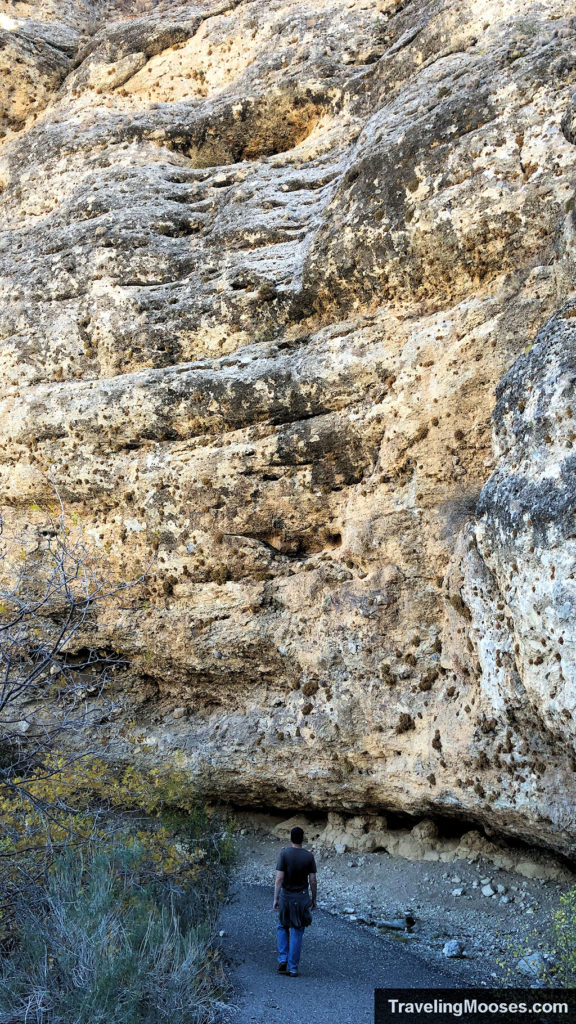
The Pack Rat Route trail takes hikers on a 1.4-mile moderate loop through the Kyle Canyon area of the Spring Mountains. The path leads to a historic exhibit about the 1955 Mount Charleston plane crash and features views of Cathedral Rock, Charleston Peak, a huge limestone escarpment, wildflowers and several packrat middens.
- Distance (RT): ~1.4 miles
- Difficulty: Easy
Learn more about Pack Rat Route.
Lee Canyon Narrows – Mt. Charleston, NV
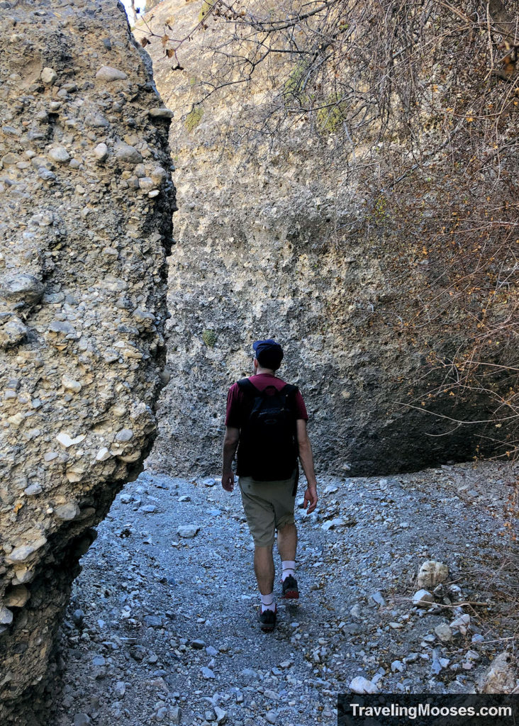
Hikers will enjoy views of Mummy Mountain, seasonal wildflowers, and historic remnants of old vehicles on this journey to the Lee Canyon Narrows.
- Distance (RT): ~2.0 miles
- Difficulty: Moderate
Learn more about Lee Canyon Narrows.
Desert View Overlook – Mt. Charleston, NV
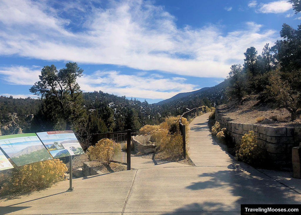
A quick stop on the scenic highway 158, the Desert View Overlook is great for all ages and offers a unique vantage into Nevada’s history along with sweeping views.
- Distance (RT): ~0.4 miles
- Difficulty: Easy
Learn more about Desert View Overlook.
White Domes – Valley of Fire, Overton, NV
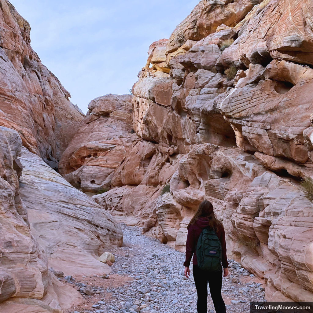
The White Domes hiking trail takes adventurers through stunning landscapes including a striking slot canyon and past swirls of red and white colors on towering sandstone walls. This 1.25-mile loop is rated as “easy” and a popular hike with locals.
- Distance (RT): ~1.25 miles
- Difficulty: Easy
Learn more about the White Domes hike.
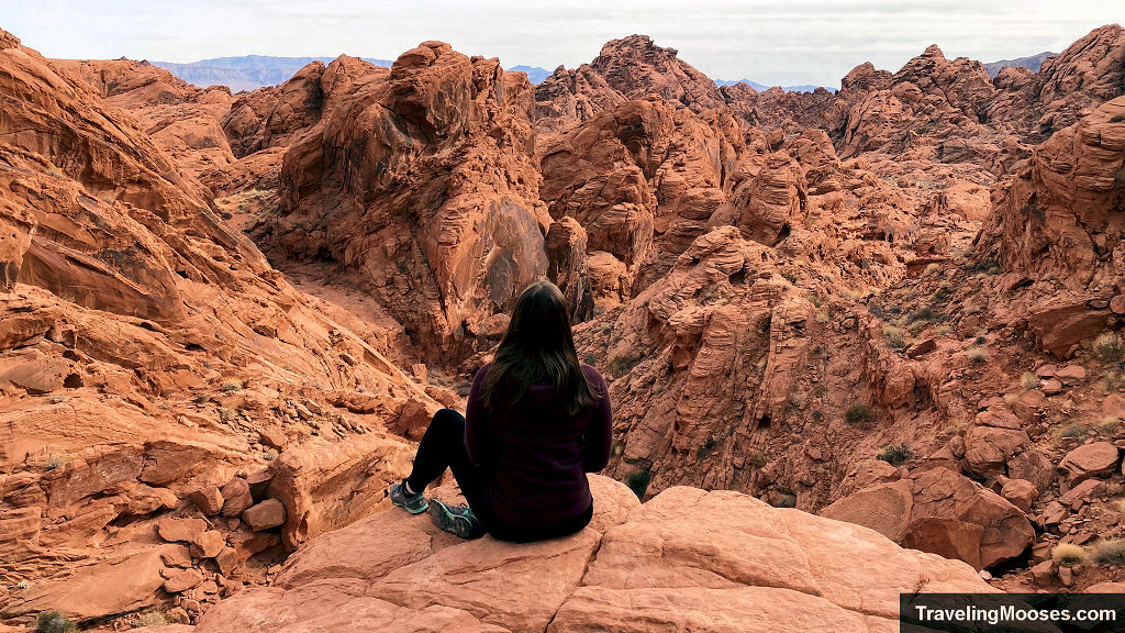
Rainbow Vista – Valley of Fire, Overton, NV
This short 1.0-mile round trip trail leads hikers through a red rock sandstone canyon before ending with a stunning view of Fire Canyon.
- Distance (RT): ~1.0 miles
- Difficulty: Easy
Learn more about Rainbow Vista.
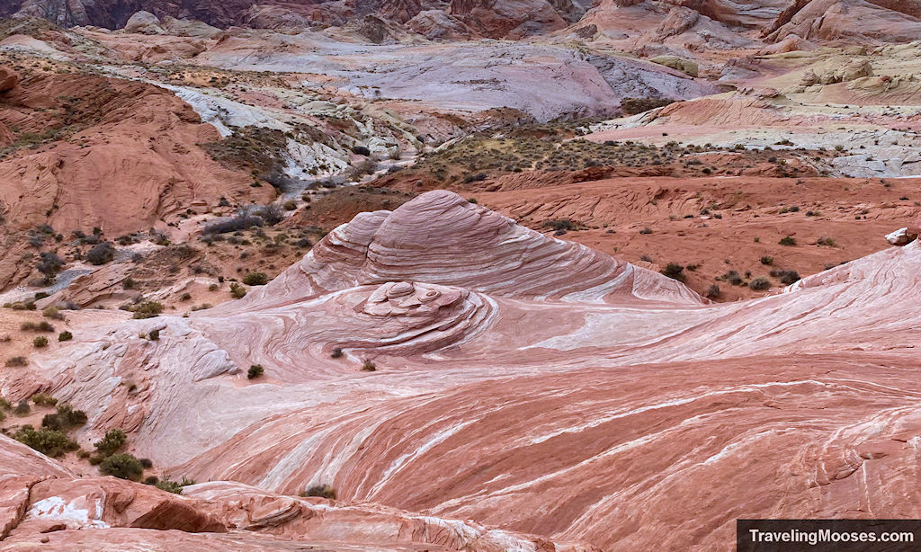
Fire Wave Trail – Valley of Fire, Overton, NV
One of the most popular hikes in the Valley of Fire, this short hike is a photographer’s dream. The best time to visit is at sunset. When the sun dips behind the horizon, the colors are magnified on the sandstone (weather permitting).
- Distance (RT): ~1.0 miles
- Difficulty: Easy
Learn more about the Fire Wave trail.
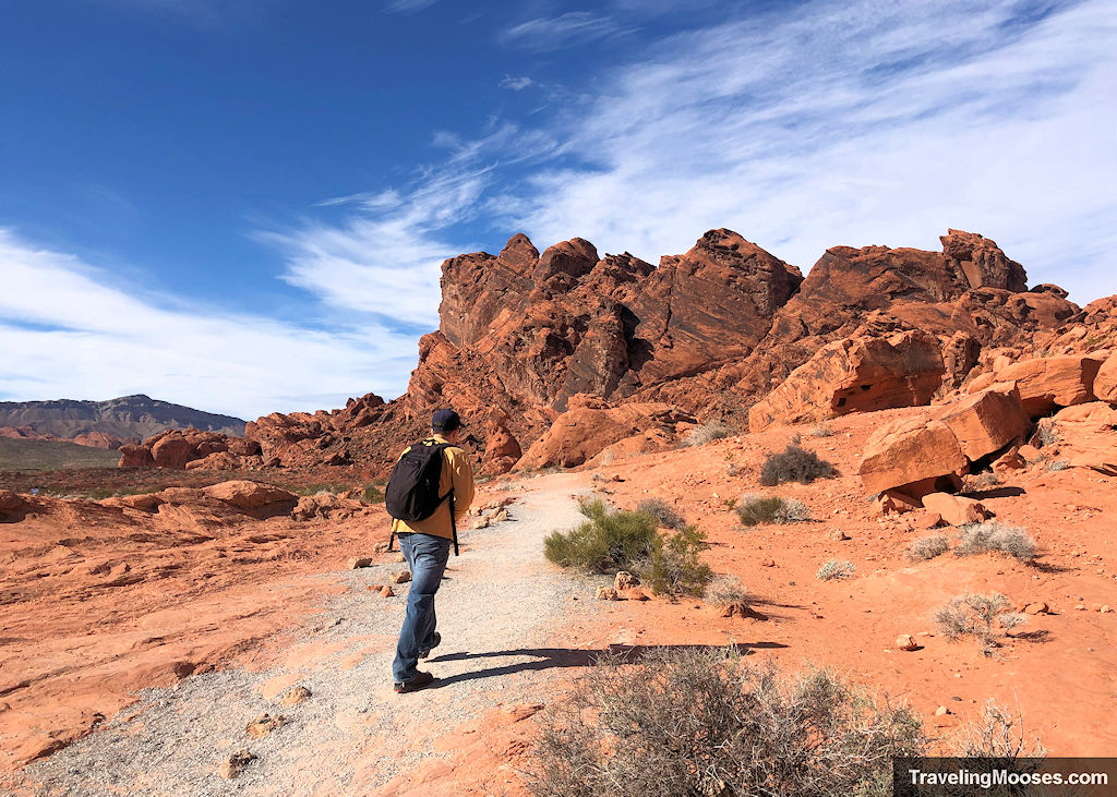
Balance Rock – Valley of Fire, Overton, NV
This short trail ends at a seemingly physics defying rock balancing in the air. Hikers will enjoy this quick stroll that starts from the visitors center within the Valley of Fire.
- Distance (RT): ~0.25 miles
- Difficulty: Easy
Learn more about the Balance Rock.
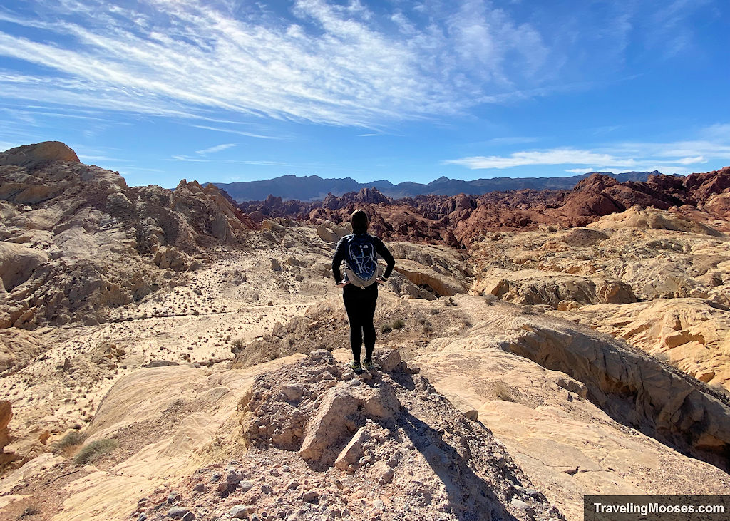
Silica Dome and Fire Canyon – Valley of Fire, Overton, NV
The Silica Dome is a popular spot within the Valley of Fire, especially if you are a Star Trek fan. This short hike leads to the summit of the Silica Dome and offers sweeping views of Fire Canyon within the Valley of Fire.
- Distance (RT): ~1.0 miles
- Difficulty: Moderate
Learn more about the Silica Dome.
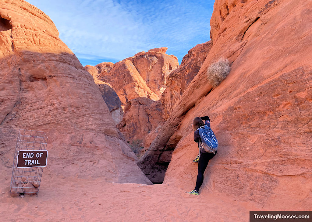
Mouses’s Tank – Valley of Fire, Overton, NV
Mouse’s Tank is named after Mouse, an outlaw who hid out along the Petroglyph Trail in Red Rock Canyon. Hike this short trail through the Valley of Fire to see dozens of petroglyphs and check out the famous Mouse’s Tank.
- Distance (RT): ~0.75 miles
- Difficulty: Easy
Learn more about the Mouse’s Tank.
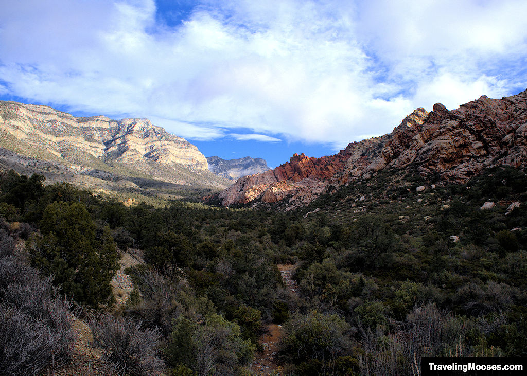
White Rock Mountain Loop – Red Rock Canyon, Las Vegas, NV
White Rock Mountain loop is a 6.2-mile trek through beautiful red and white mountains in the La Madre Wilderness and Red Rock Canyon National Conservation Area.
- Distance (RT): ~6.2 miles
- Difficulty: Moderate/Strenuous
Learn more about the White Rock Mountain Loop trail.
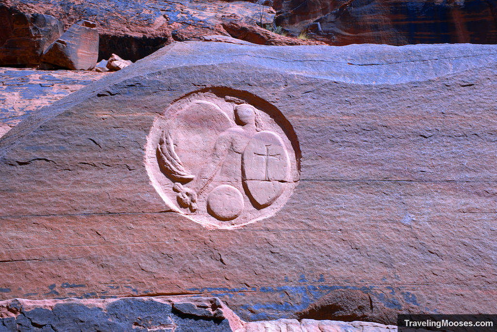
Guardian Angel Pass – Calico Basin, Las Vegas, NV
This 3.2-mile round trip loop features a hand carved guardian angel carved in the red sandstone rock walls. Enjoy a day of light scrambling, red sandstone mountains and the potential for wildlife sightings.
- Distance (RT): ~3.2 miles
- Difficulty: Strenuous
Learn more about the finding the Guardian Angel.
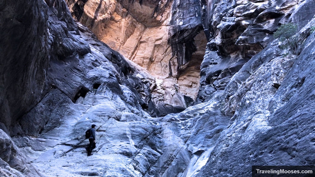
Ice Box Canyon – Red Rock Canyon, Las Vegas, NV
This short trail starts off across the desert floor and then enters the famous “Ice Box” Canyon area. After a short distance of scrambling over river rocks, the trail ends in a gorgeous canyon with a seasonal waterfall.
- Distance (RT): ~2.2 miles
- Difficulty: Strenuous
Learn more about Ice Box Canyon.
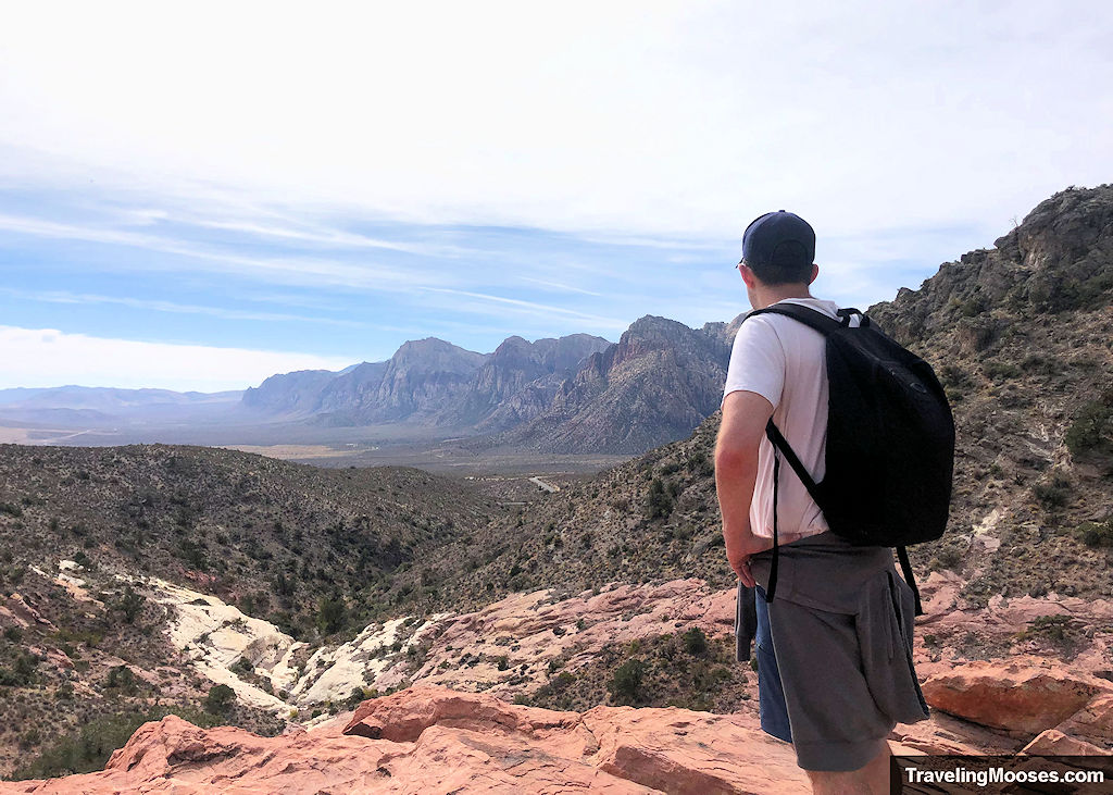
Keystone Thrust – Red Rock Canyon, Las Vegas, NV
Step back in time to experience the geological wonder of the Keystone Thrust Trail in the heart of Red Rock Canyon National Conservation Area. This 2.4 mile out and back trail is best known for its beautiful views, rich history and year-round accessibility.
- Distance (RT): ~2.4 miles
- Difficulty: Moderate
Learn more about the Keystone Thrust trail.
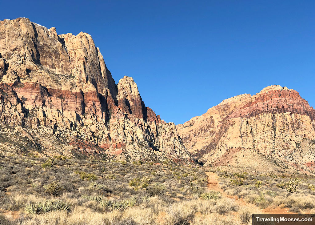
Wilson’s Pimple Loop – Red Rock Canyon, Las Vegas, NV
Located near the scenic loop of Red Rock Canyon, Wilson’s Pimple Loop trail boasts large red sandstone mountains, a seasonal creek and the chance of wildlife sightings.
- Distance (RT): ~4.57 miles
- Difficulty: Easy/Moderate
Learn more about the Wilson’s Pimple Loop.
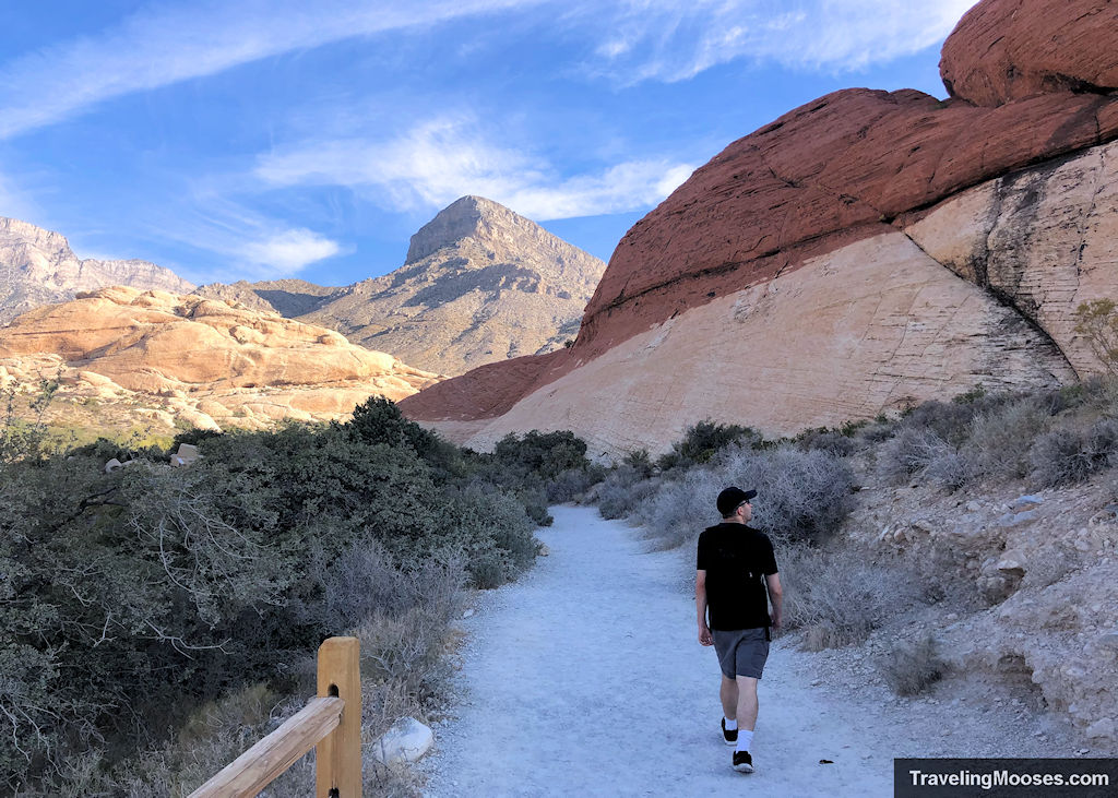
Calico Tanks – Red Rock Canyon, Las Vegas, NV
Less than 20 miles from the Las Vegas Strip, you’ll find this popular 2.2-mile round trip hike located along the scenic loop drive. Red rocks, wildlife and epic views await along this fun trail.
- Distance (RT): ~2.2 miles
- Difficulty: Moderate
Learn more about Calico Tanks.
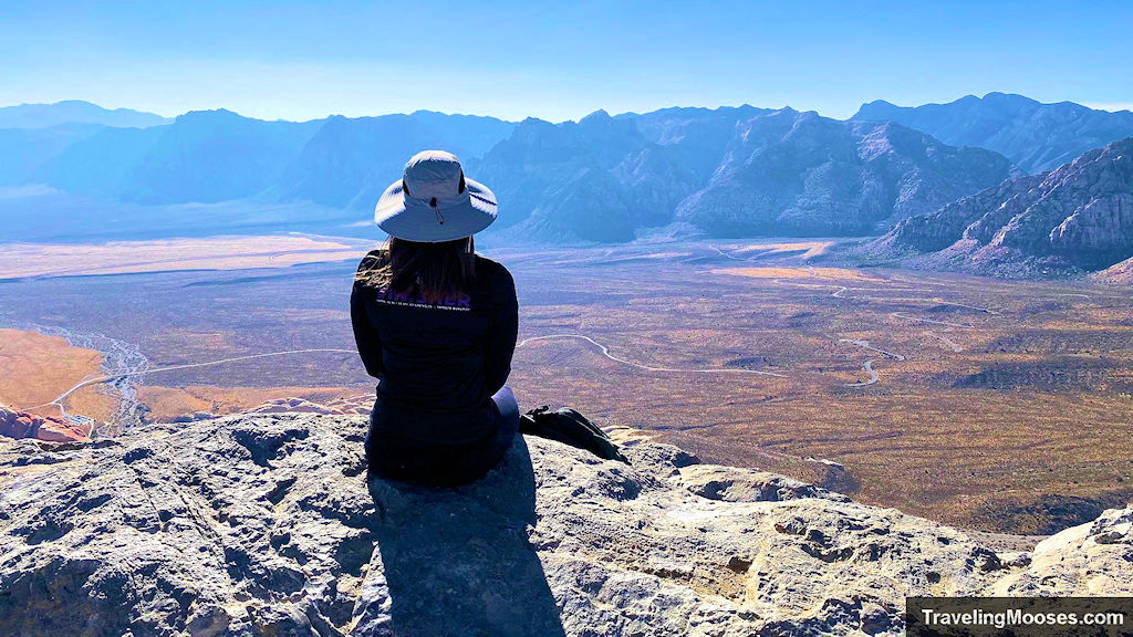
Turtlehead Peak – Red Rock Canyon, Las Vegas, NV
Clocking in around 4.6 miles round trip and almost 2,000 feet in elevation gain, the Turtlehead Peak Trail is sure to have your heart pumping with exertion as you make your way up the sweeping panoramic views of Red Rock Canyon.
- Distance (RT): ~4.6 miles
- Difficulty: Strenuous
Learn more about Turtlehead Peak.
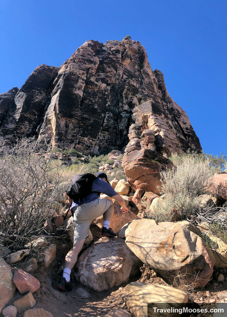
Pine Creek Canyon – Red Rock Canyon, Las Vegas, NV
A similar hike to Ice Box Canyon, but less crowds. This 3.4-mile hike takes hikers towards a slot canyon and Mescalito Peak. Enjoy seasonal streams, mountain views and the occasional wildlife sighting.
- Distance (RT): ~3.4 miles
- Difficulty: Moderate
Learn more about Pine Creek Canyon.
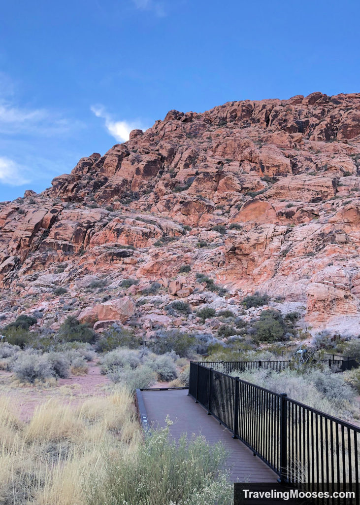
Red Spring Boardwalk – Calico Basin, Las Vegas, NV
A quick 0.5-mile loop, this trail boasts gorgeous views of Calico Basin, petroglyphs, wildlife, and at times, a lush meadow full of plant life. This trail is suitable for all ages. It’s also frequently used as a jumping off point for hikers and climbers, as well as for wedding ceremonies, picnics and an easy way to see the renowned Calico Basin.
- Distance (RT): ~0.5 miles
- Difficulty: Easy
Learn more about the Red Spring Boardwalk.
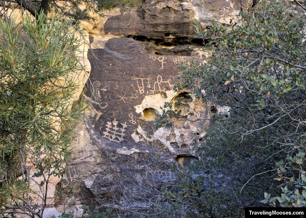
Petroglyph Wall Trail – Red Rock Canyon, Las Vegas, NV
The Petroglyph Wall Trail takes hikers back in time to a cliffside etched with rock images over 800 years old.
Located near Willow Springs Picnic Area, this is an easy activity to add to your day-trip to Red Rock Canyon and is suitable for all ages.
- Distance (RT): ~0.2 miles
- Difficulty: Easy
Learn more about the Petroglyph Wall trail.
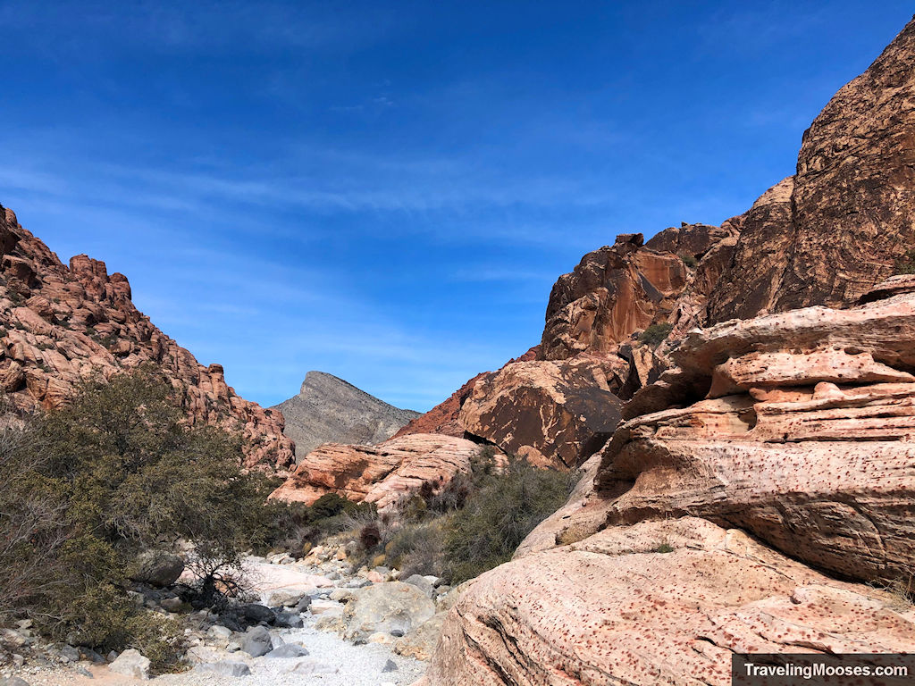
Kraft Mountain Loop Trail – Red Rock Canyon, Las Vegas, NV
A 3.5-mile hike in the Red Rock National Park, this trail is close to Las Vegas, boasts sweeping views, light scrambling and beautiful red rocks.
- Distance (RT): ~3.5 miles
- Difficulty: Strenuous (due to some light scrambling)
Learn more about the Kraft Mountain Loop trail.
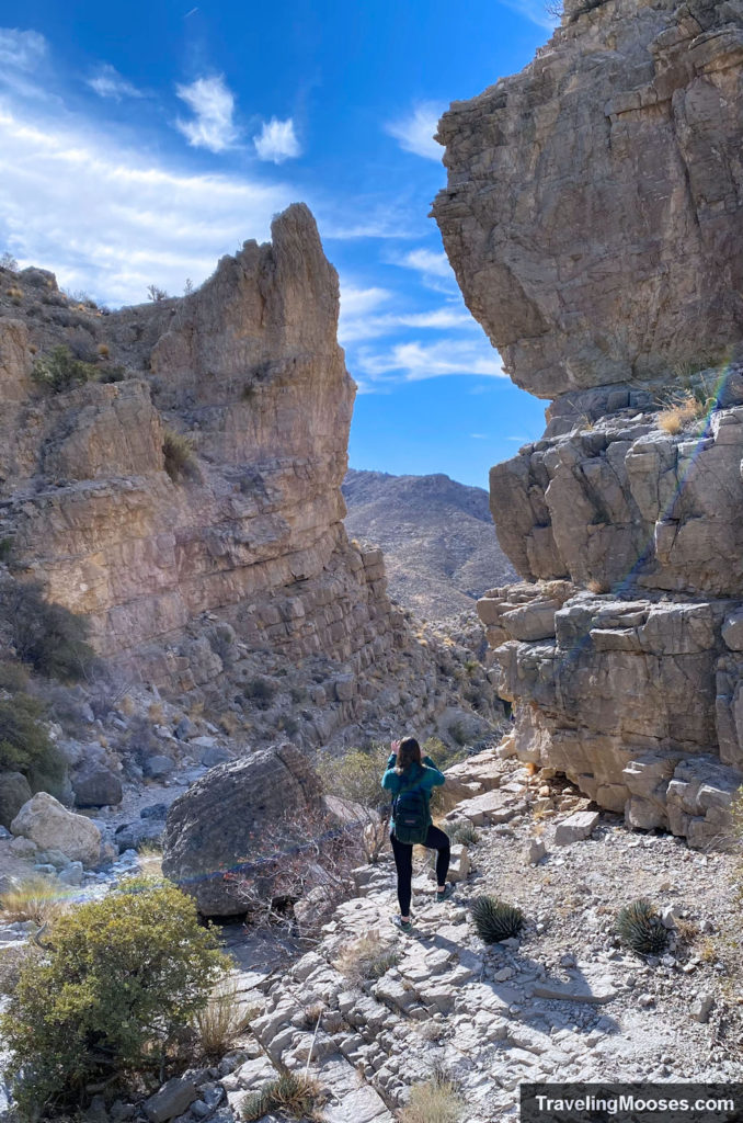
Upper Gateway (via Kraft Mountain) – Red Rock Canyon, Las Vegas, NV
The Kraft Mountain Loop to the Upper Gateway trail is a 5.3 mile out and back trail that offers mountain views, scrambling and solitude.
- Distance (RT): ~5.3 miles
- Difficulty: Strenuous (due to light scrambling)
Learn more about the Upper Gateway hike.
Utah
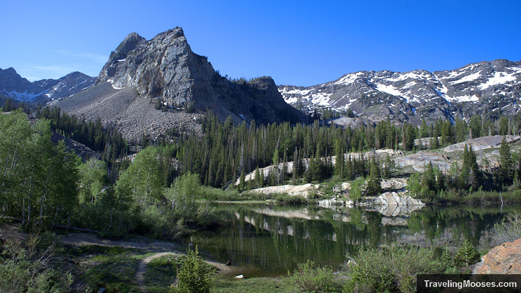
Lake Blanche – Big Cottonwood, Utah
Described as one of the most “breathtaking hikes in the Salt Lake City area,” this 6.8 hike takers adventurers through the mountains and ends at the beautiful Lake Blanche in the shadow of Sundial Mountain.
- Distance: ~6.8 miles
- Difficulty: Strenuous
Learn more about the Lake Blanche Hike.
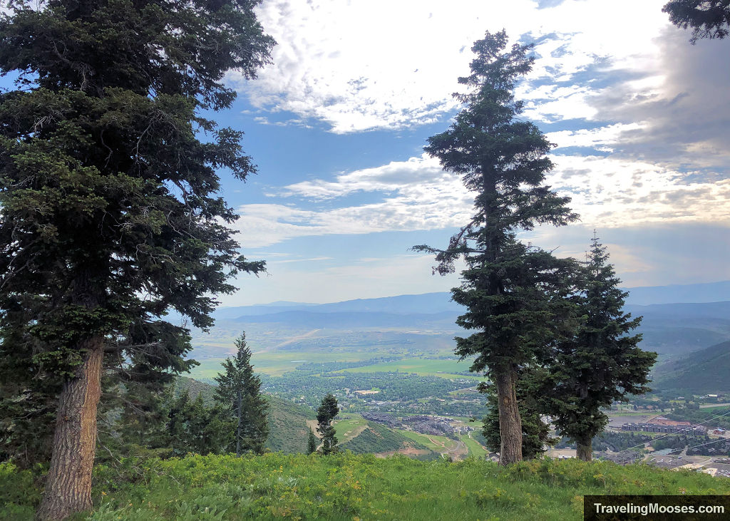
Holly’s Trail – Park City, Utah
Nestled in the heart of Park City at Canyon’s Village you’ll find a pleasant 4.5-mile round trip trail winding through the mountains. This popular trail with the locals is used for trail running, mountain biking or an enjoyable day hike. Round out your day by adding a short detour to a beautiful alpine lake or to the top of the Red Pine Lodge for a tasty mountain snack and a ride down the gondola.
- Distance: ~4.5 miles
- Difficulty: Moderate
Learn more about Holly’s Hike.
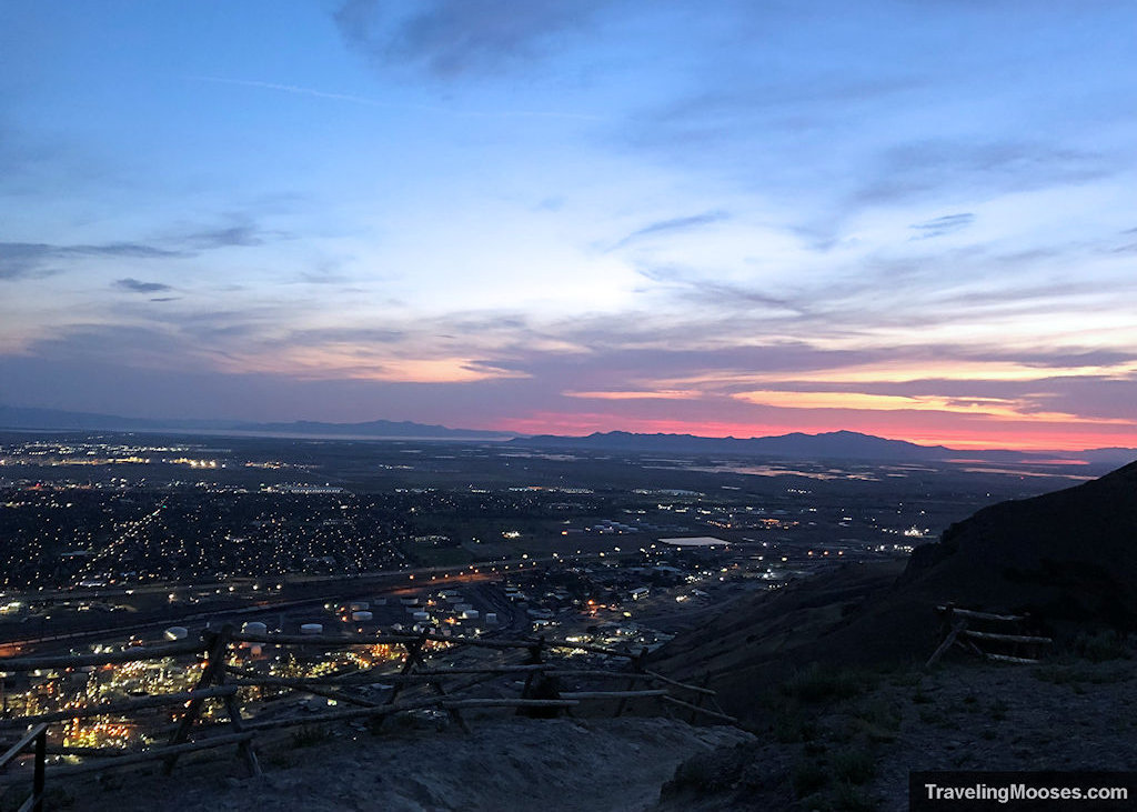
Ensign Peak– Salt Lake City, Utah
A short hike up Ensign Peak leads adventurers to epic views of the Salt Lake City Valley. With the city to the south and the lake to the west, this historic site is an “ensign for the nations” and one hike you won’t to miss.
- Distance: ~1.0 miles
- Difficulty: Easy
Learn more about Ensign Peak.
Where will your next hiking adventure be?

