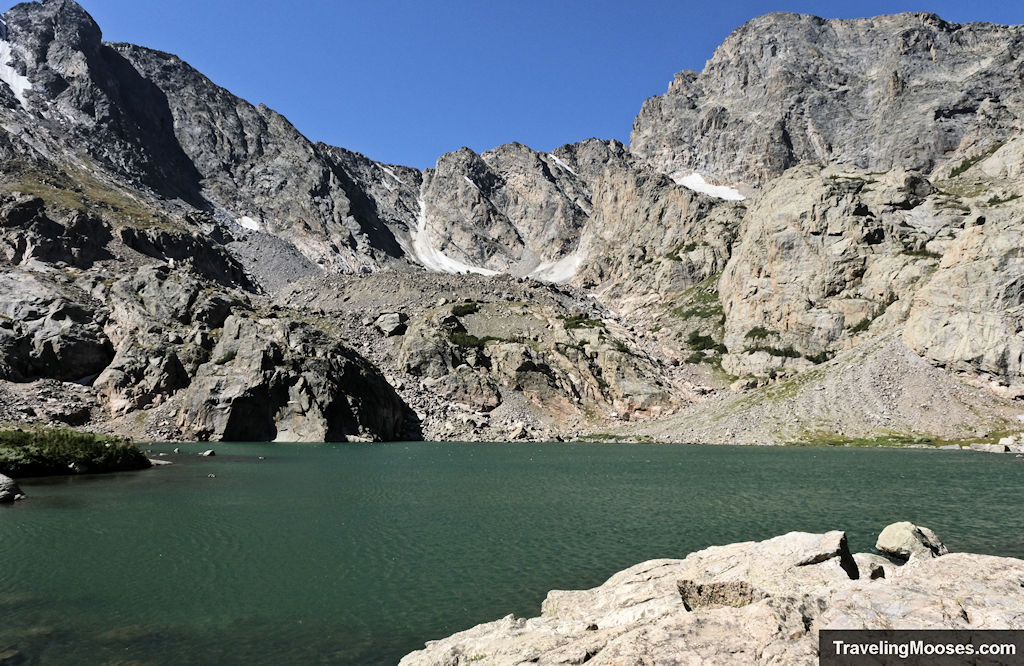
Sky Pond is one of the most beautiful lakes in the Rocky Mountain National Park. The Sky Pond via Glacier Gorge trail takes you past glimmering lakes, large waterfalls, cascading streams, wildlife, and sweeping views of forests and mountains. By far, this is our favorite hike in Rocky Mountain National Park.
Sky Pond via Glacier Gorge trail quick stats
| Trail Description | Out and back |
| Trail Location | Sky Pond Lake Trail, Colorado 80517 – located in the Bear Lake Corridor in Rocky Mountain National Park |
| Parking Lot | 40.28403, -105.66516 |
| Round Trip Mileage | ~10 miles |
| Average Time | 6 to 8 hours |
| Difficulty | Strenuous (due to elevation gain, distance and scrambling) |
| Elevation Gain | ~1,700 feet |
| Elevation at Glacier Gorge Trailhead | ~9,200 feet |
| Elevation at Summit | ~10,900 feet |
| Best time to visit | Late spring – early fall |
| Entrance Fee | $30 for a one-day vehicle pass; $35 for a 7-day vehicle pass; America the Beautiful pass is accepted or a variety of other annual passes. (Prices subject to change). Additionally, from late May to early October a timed entry permit (reservation) is required for entrance to the park. The current fee is $2 for reservations. |
| Rating | 5.0 Mooses |
Getting to the trailhead and parking options
It’s no secret Rocky Mountain National Park (RMNP) is one of the most desirable vacation getaways in Colorado. In 2019, the park received over 4.6 million visitors. The visitation dropped in 2020 due to early season closures with Covid, but was back to a record setting pace in 2021.
RMNP was the first national park in the country to implement a temporary timed entry permit to ease congestion and provide a reasonable opportunity to comply with health guidelines (due to Covid). We’ve noticed a nationwide trend of high adoption rates of these new timed entry permits and they are likely to be permanent. RMNP requires timed permits only during the high season (late May through early October). You can reserve tickets and learn more about this on the recreation.gov, but you’ll need to plan ahead as competition can be fierce for the limited passes.
Pro-tip: You may enter the Bear Lake Corridor before 5 a.m. or after 6 p.m. without a timed entry permit during high season (approximately late May to early October). You’ll still need a national park pass. Alternatively, the Park also releases a limited amount of passes the day before at 5 p.m. local time. They usually sell out in less than 5 minutes, so you’ll have to be quick!
Once you have your national park pass and a timed entry permit (during high season), you’ll want to enter the Park at the Beaver Meadows Entrance Station (near Estes Park, CO) and follow the signs to the Bear Lake Corridor. Within the Bear Lake Corridor, you have three choices for parking:
- Glacier Gorge Trailhead
- Bear Lake Trailhead
- Bear Lake Park & Ride
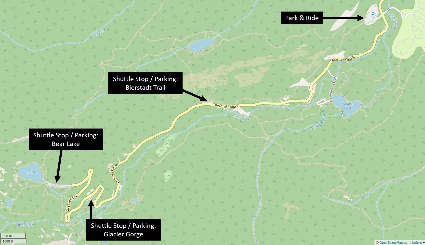
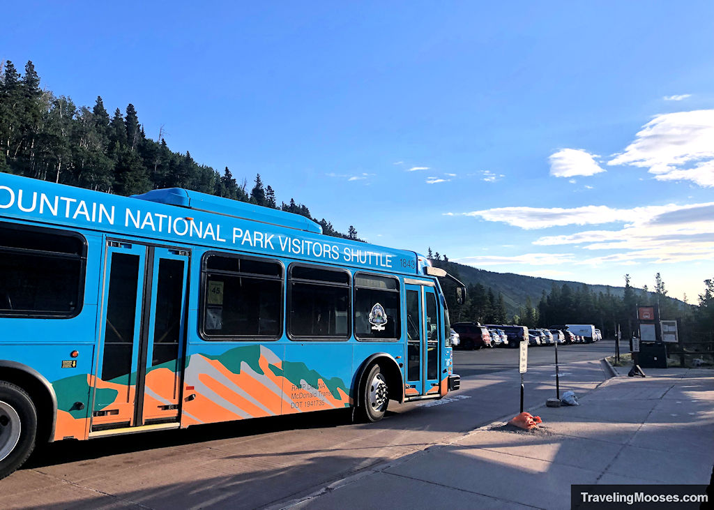
We recommend using the Park & Ride system if you’re visiting the park during the high season. The Glacier Gorge parking lot is extremely small and can fill up before 5 a.m. The Bear Lake parking lot is larger, but also fills up quickly as it’s a popular destination and the start of multiple trails in the area. The free shuttle from the Park & Ride runs every 15 up and down the Bear Lake Corridor and we found it easy to use. Some routes run every 30 minutes if you’re coming from a different area of the park. You can find their current schedule here.
Pro-tip: To add variety to your hike, you may want to take the shuttle to the Glacier Gorge Trailhead and end your hike at the Bear Lake Trailhead for a return shuttle ride. You not only get to see a different part of the trail; you may have better luck getting the first shuttle back to the Park & Ride. The shuttle often fills up before the Glacier Gorge stop and you’ll have to wait for another to come if it’s busy.
If you do decide to try and snag a spot at Glacier Gorge or the Bear Lake Trailhead, keep in mind it is well past the Park & Ride turnoff, so you’ll be back-tracking and lose around 25-30 minutes if you can’t find a spot. It’s only 4.4 miles (11-minute drive) according to Google, but we found drivers go incredibly slow on the windy road and it always takes much longer than anticipated.
Once your parking is all squared away, it’s time to hit the trail.
Our experience on the Sky Pond via Glacier Gorge Trail
We were able to snag a last-minute timed entry permit between 7 a.m. – 9 a.m. for the Bear Lake Corridor through the Recreation.Gov app and entered the park right at 7 a.m. to take advantage of the early start.
The line was pretty short to enter the Bear Lake Corridor and we made our way directly to the Park & Ride. The Park & Ride was already about 40% full by the time we arrived which must have been from the 5 a.m. to 7 a.m. ticket holders. A shuttle bus was waiting to take off and we had no problem getting a seat on board.
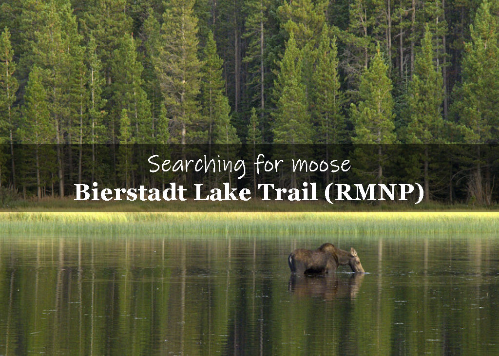
The first stop along the shuttle to Bear Lake is the Bierstadt Lake Trailhead. No one got off at that stop, but if you have time, we highly recommend you check it out around dusk when a family of moose frequently visits the lake. You can check out our full review of the Bierstadt Lake Trailhead for more details.
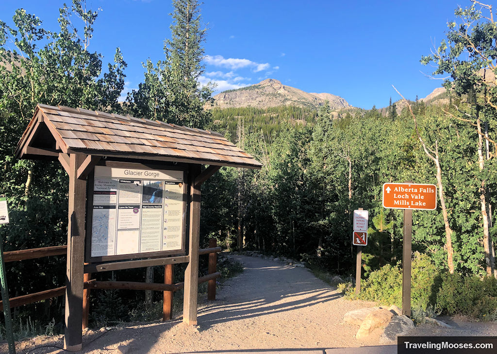
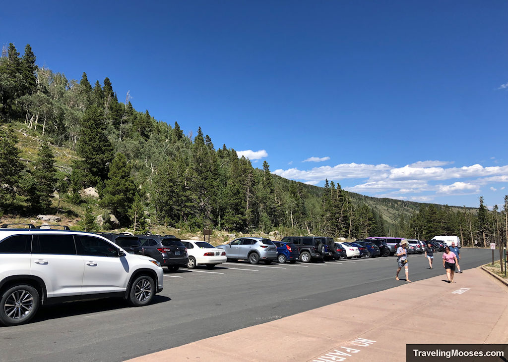
We arrived at the Glacier Gorge Trailhead (the 2nd shuttle stop) around 7:30 a.m. The trailhead parking lot was 100% full. We were really glad we didn’t waste time trying to get a parking there.
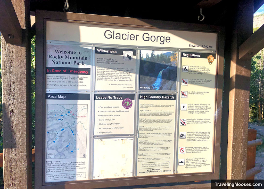
We didn’t waste any time heading up the trail as we knew the temperatures were going to be warmer in the afternoon and we wanted to separate ourselves from the busload of hikers.
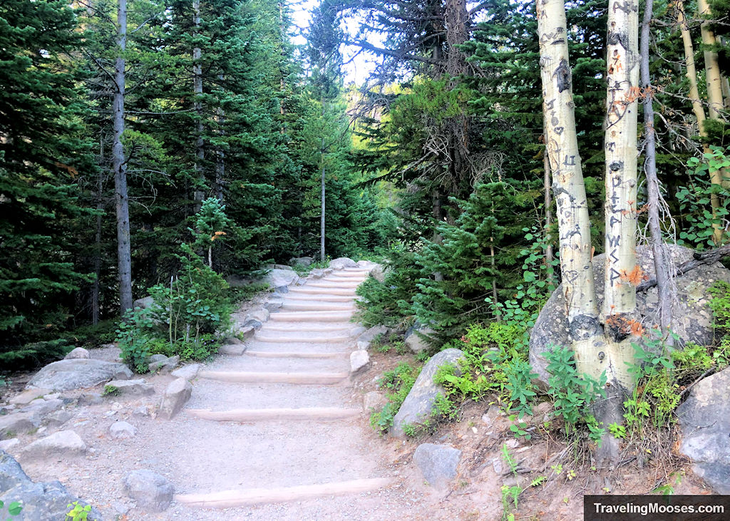
The hike can be broken down into 5 different pieces, each with its own beauty and challenges to discover.
Hiking Leg (mileage approximate)
- Glacier Gorge to Alberta Falls (0.9 miles)
- Alberta Falls to the Loch (2.1 miles)
- The Loch to Timberline Falls (1.5 miles)
- Climbing up Timberline Falls (<0.1 miles)
- Lake of Glass to Sky Pond (0.6 miles)
Glacier Gorge to Albert Falls (0.9 miles)
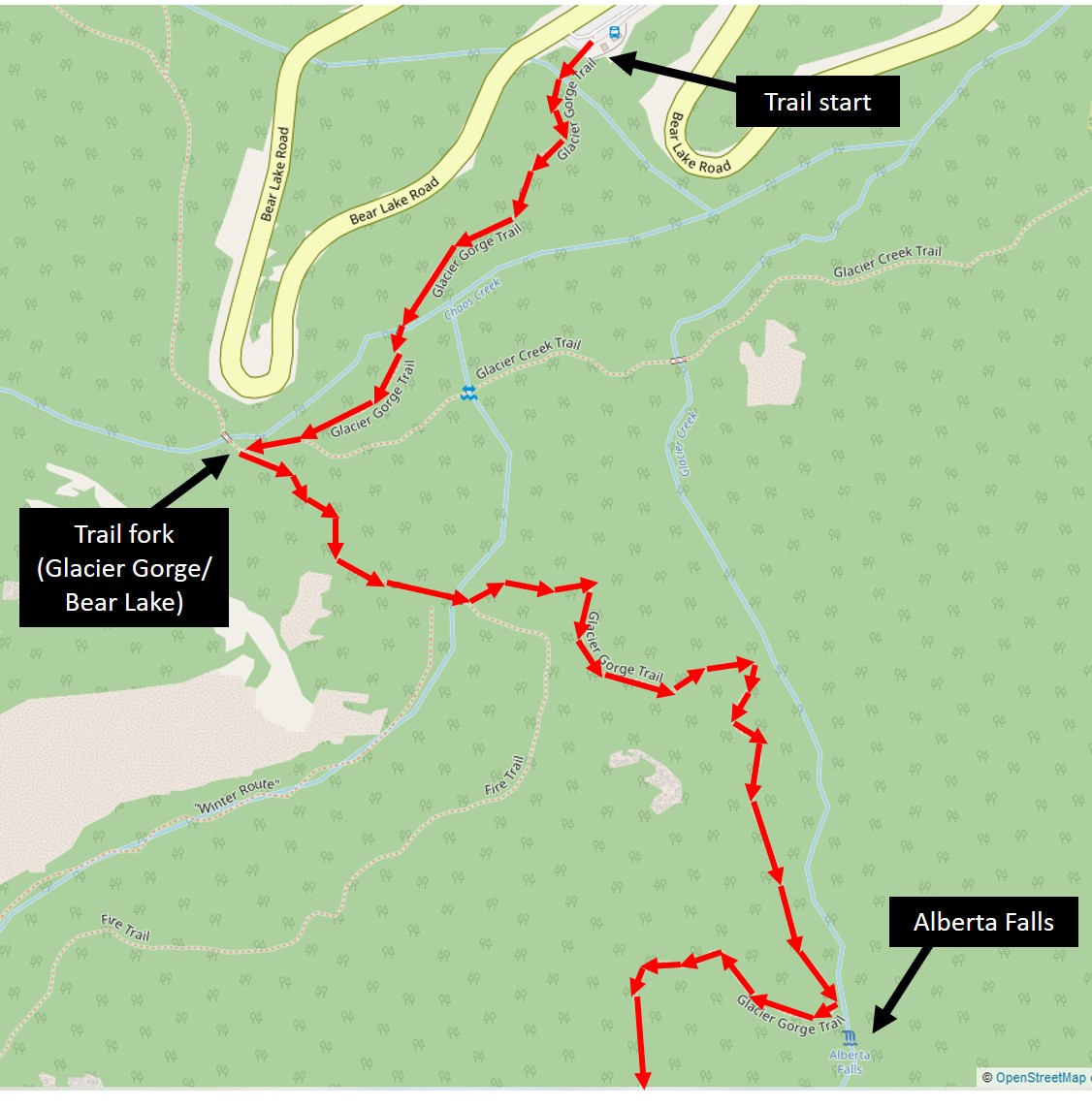
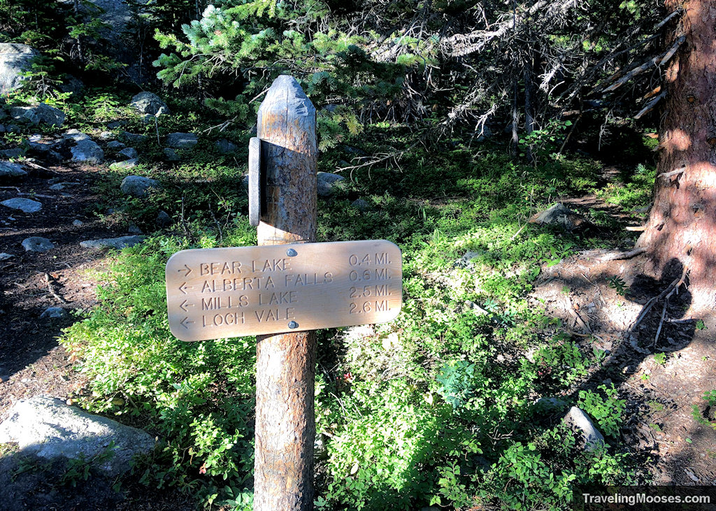
From the Glacier Gorge Trailhead, the trail meanders through a beautiful aspen forest and up multiple stairs for approximately 0.3 miles. You’ll soon come to a fork in the trail where you can go right towards Bear Lake (the alternate parking area) or left to Alberta Falls. It’s only 0.6 miles from this cutoff to the first waterfall on the way to Sky Pond. This is also the busiest section of the trail.
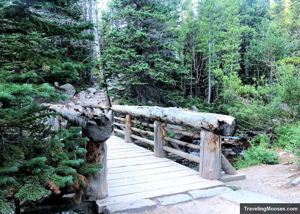
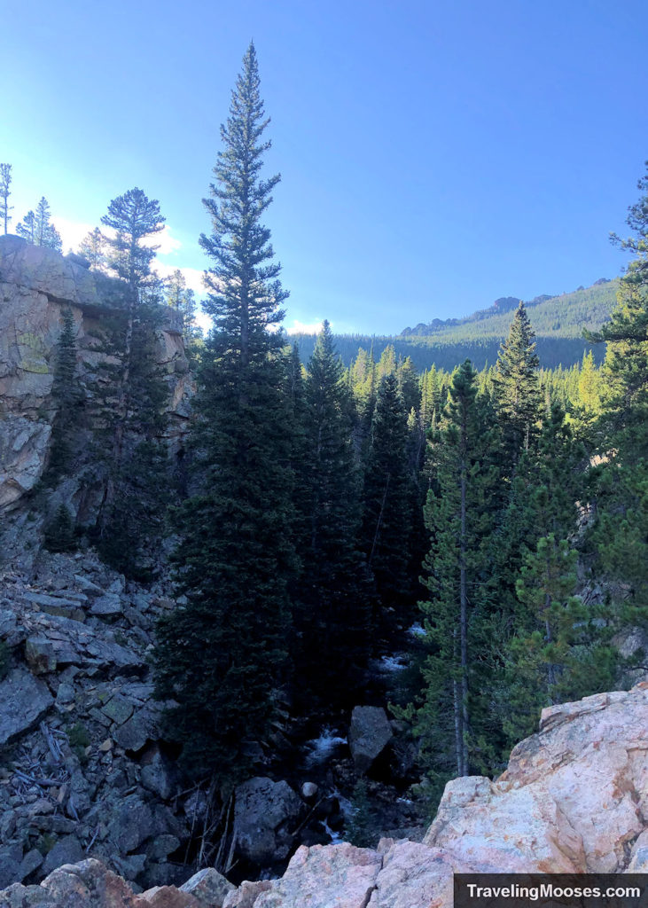
The trail continues through mostly forest with only a modest (+232 feet) elevation gain to reach Alberta Falls. You’ll pass several creeks along the way and near the falls a beautiful gorge opens up to see partial views of the valley.
If you’re lucky enough to be there in the morning or on a day with smaller crowds, you’ll enjoy unobstructed views of Alberta Falls. We had about 30 seconds to snap a picture before someone walked right in front of our camera.
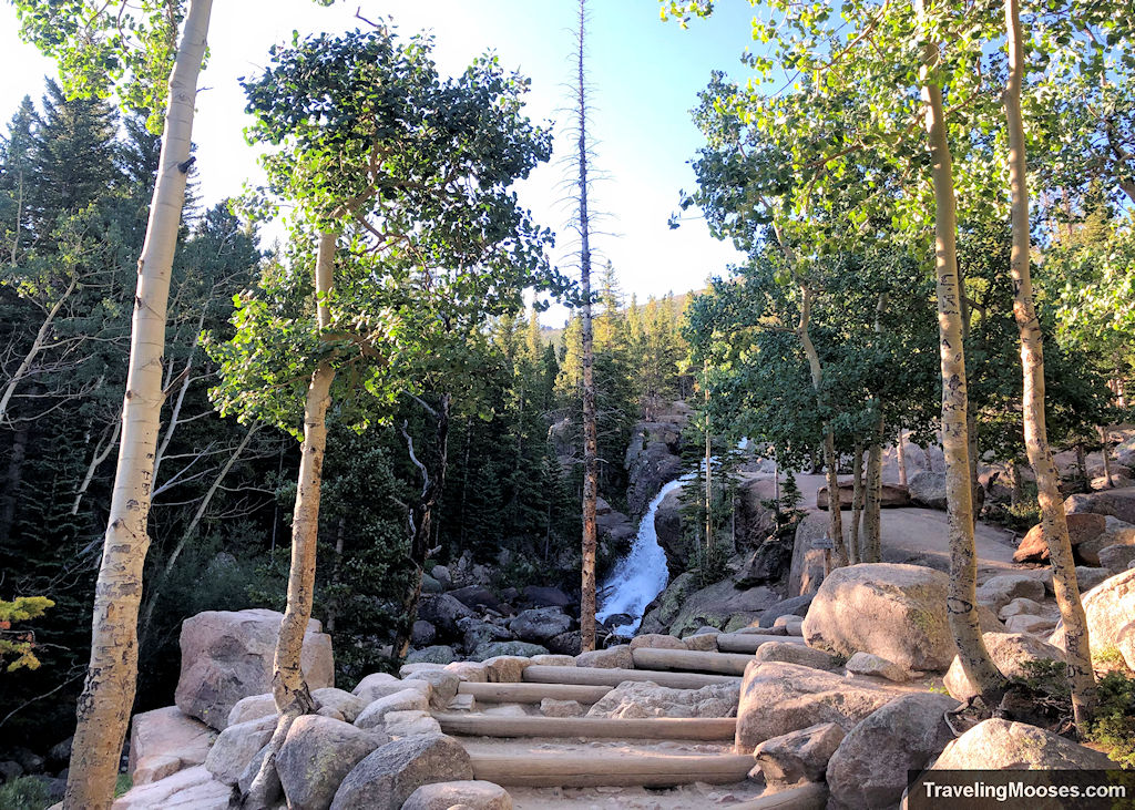
On a sunny weekend afternoon there is a zero percent chance of solitude at this popular spot. We’ve heard it described as “grossly overpopulated” and “it was so crowded we couldn’t get any good pictures or even sit where we could see it.”
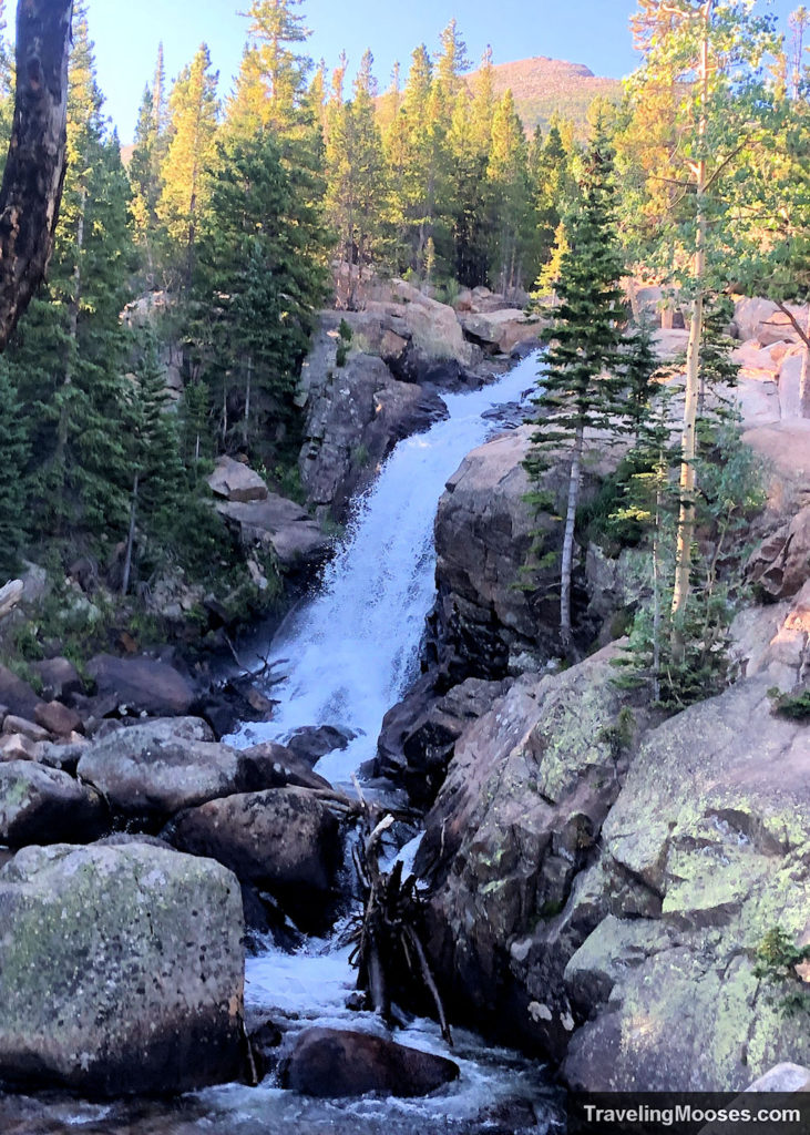
I’m thankful we had 30 seconds alone with the falls! We had planned to take another picture on our way down, but the area was overrun with hikers and families.
Alberta Falls to the Loch (2.1 miles)
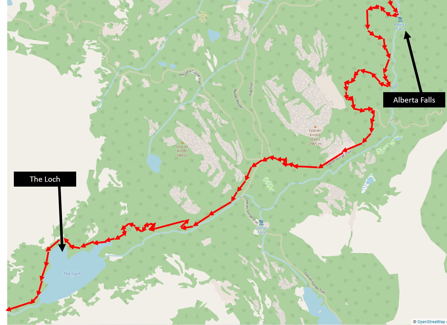
We decided to press on and put some distance between us and the crowds that always seemed to be just steps behind us.
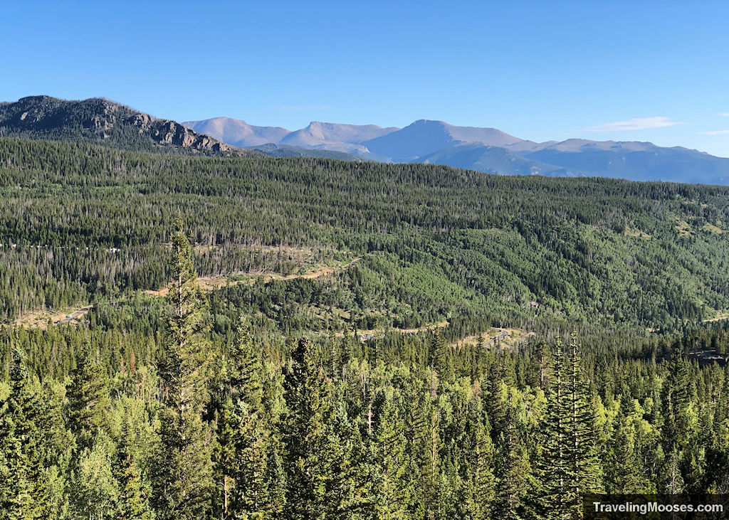
The elevation continues to rise on this portion of the trail (approximately +800 feet to the Loch) and you’re soon met with beautiful views of the valley and seemingly endless forests.
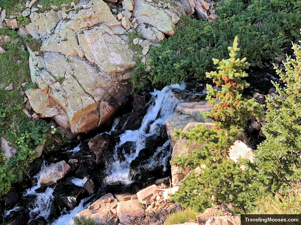
Glacier Creek will be on your left as you’re heading up to the Loch. The creek cascades through the forest and makes for many relaxing places to stop if you need a quick break.
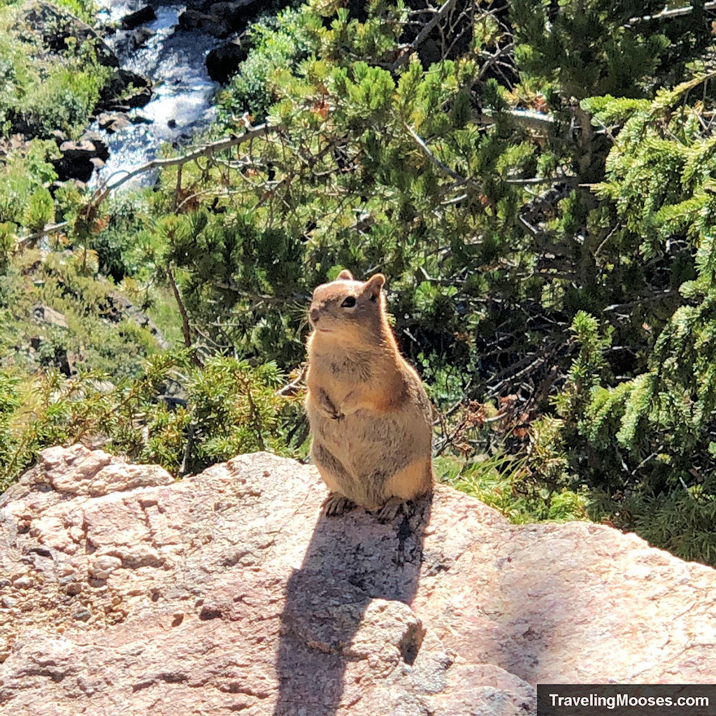
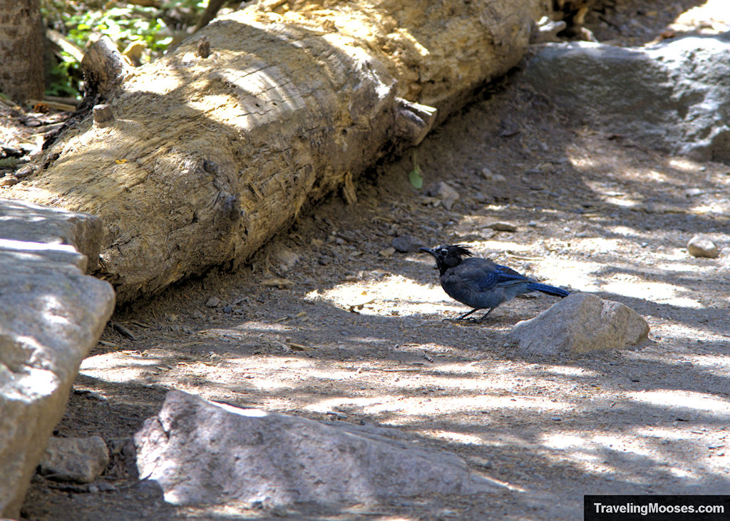
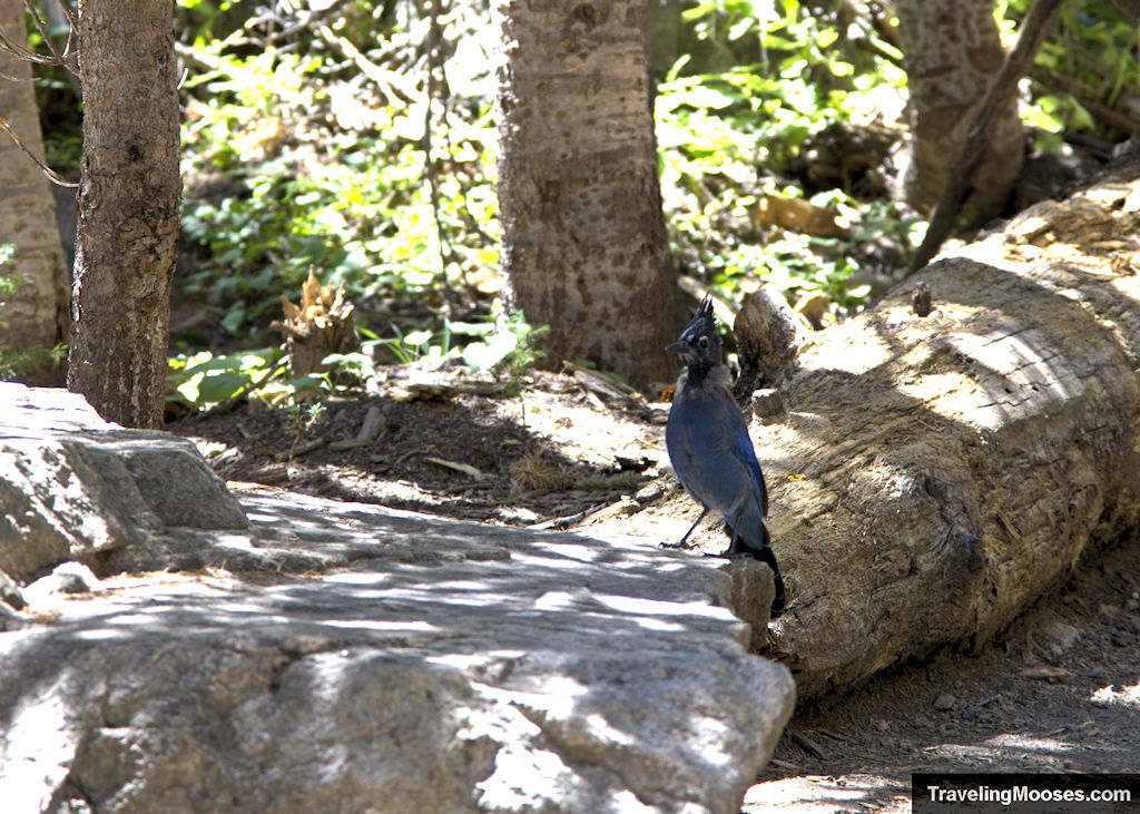
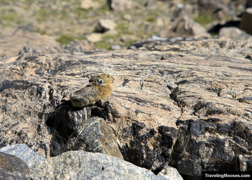
We enjoyed the many squirrels and blue birds frolicking on the trail. Keep in mind there is a rule against feeding wildlife in the park, even if they look innocent and hungry.
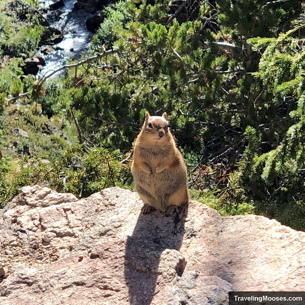
As you approach the Loch, there will be a fork in the trail. Keep to the right to continue towards Sky Pond.
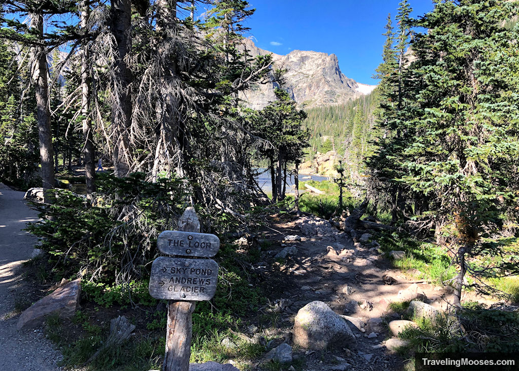
You’ll arrive at the northeast side of the Loch first. There are many great lunch spots around this part of the lake, but it’s also the busiest area as people that intend on fishing in the lake tend to gather here. We recommend continuing to head around the lake and look for less busy places to stop for a snack or enjoy the lake views.
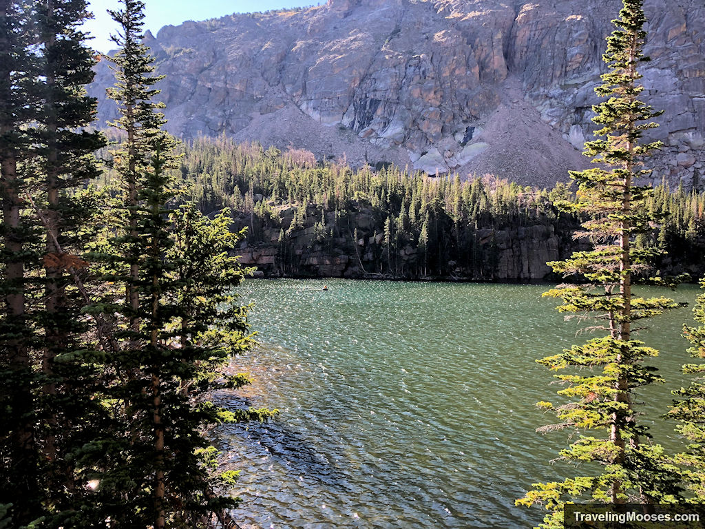
We actually ended up having lunch on the shore of the Loch on our return trek. It was too early for lunch when we passed through initially.
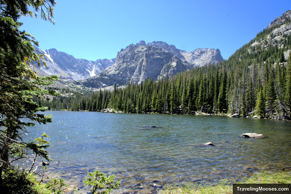
The Loch to Timberline Falls (1.5 miles)
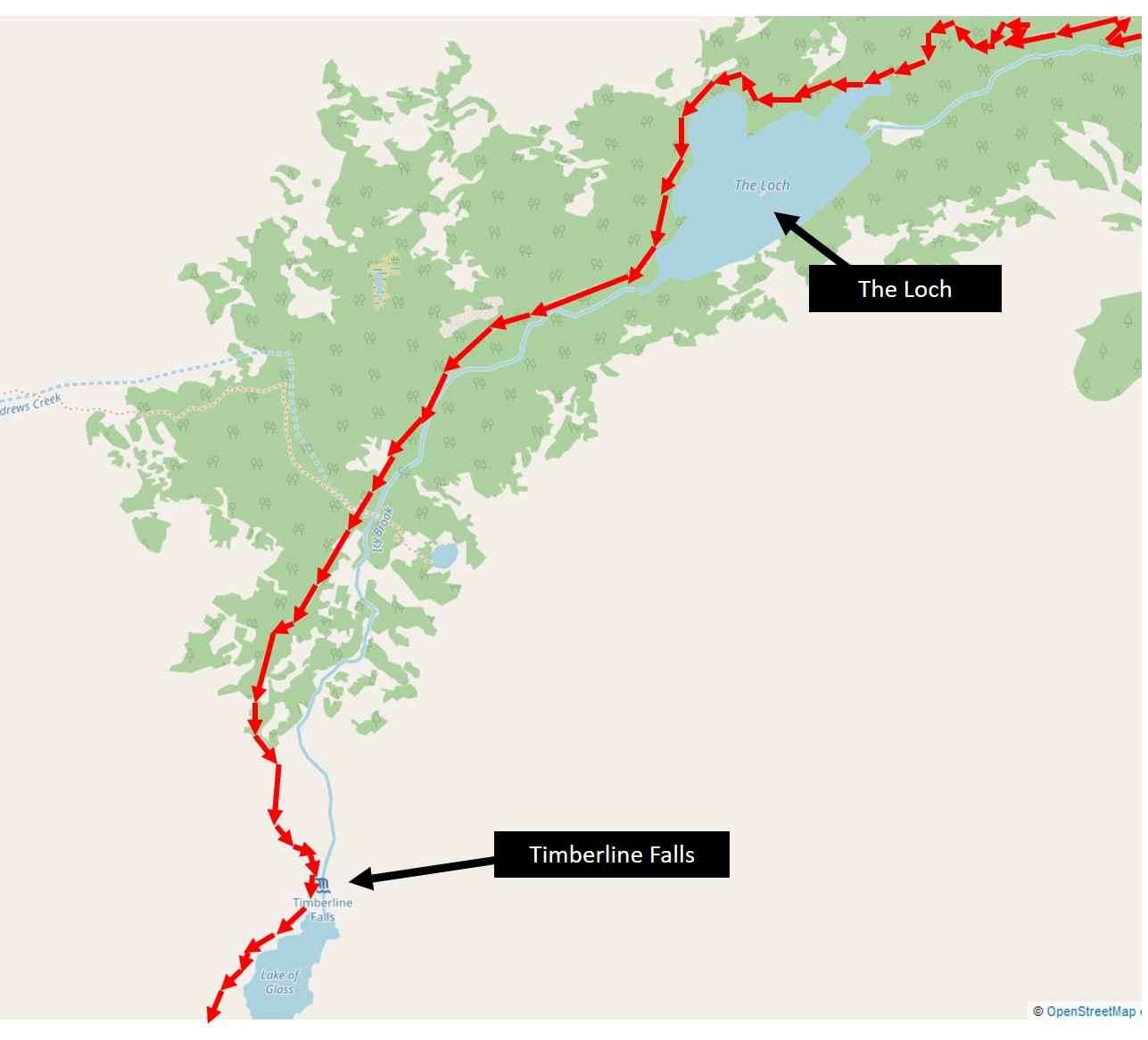
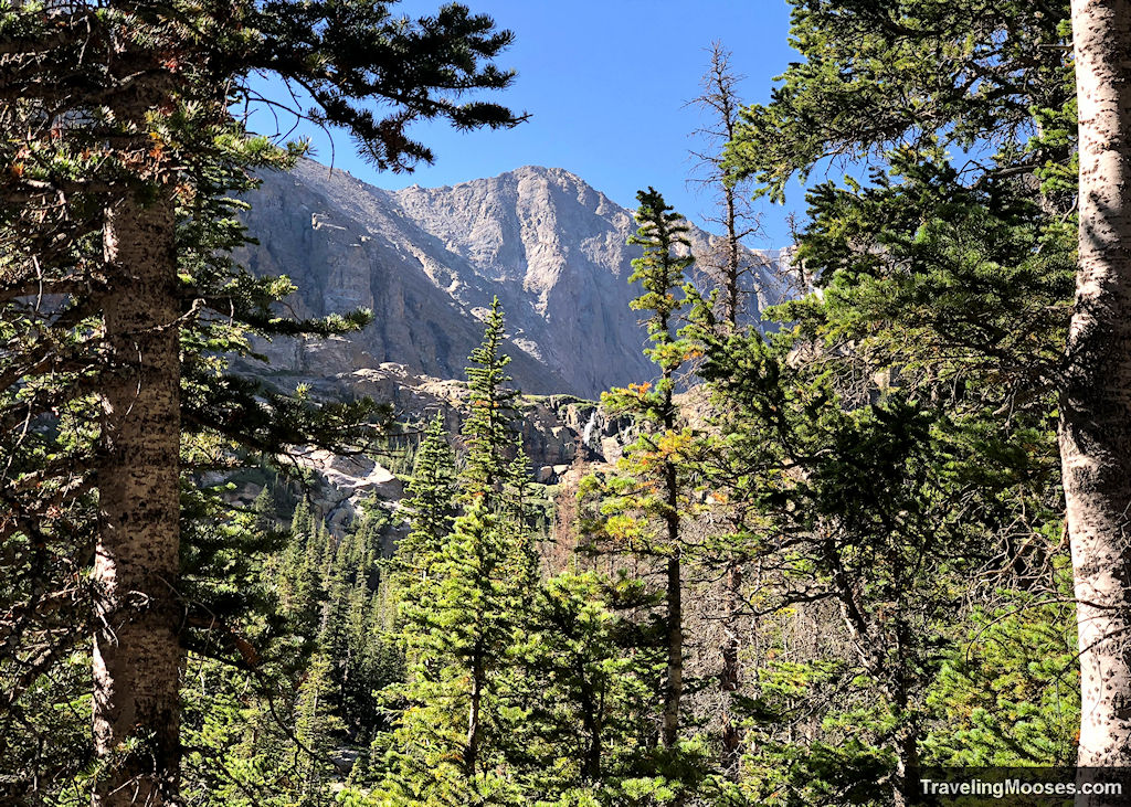
After enjoying the view of the first lake along the Sky Pond trail, we continued our trek towards Timberline Falls. Not long after you leave the Loch, you’ll start to catch glimpses of Timberline Falls. They look really far away, but it’s only around 1.5 miles up the trail.
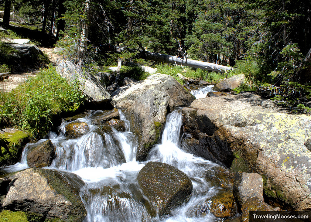
You’ll get to follow a new creek (the Icy Brook) all the way to the falls and the elevation gain is moderate (~636 feet) on this section of the trail.
We made short work of this section and were pleased to arrive at Timberline Falls with a lull in visitors. We quickly made our way across the Icy Brook creek to the area just in front of the falls and had about 5 minutes of uninterrupted photo time before other hikers caught up.
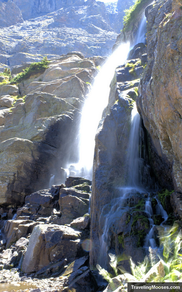
Timberline Falls often marks the turn-around point for many hikers (especially in the winter) and the final stretch of the hike will have far less people on it. We were determined to make it Sky Pond despite the upcoming scramble, so we decided to press on.
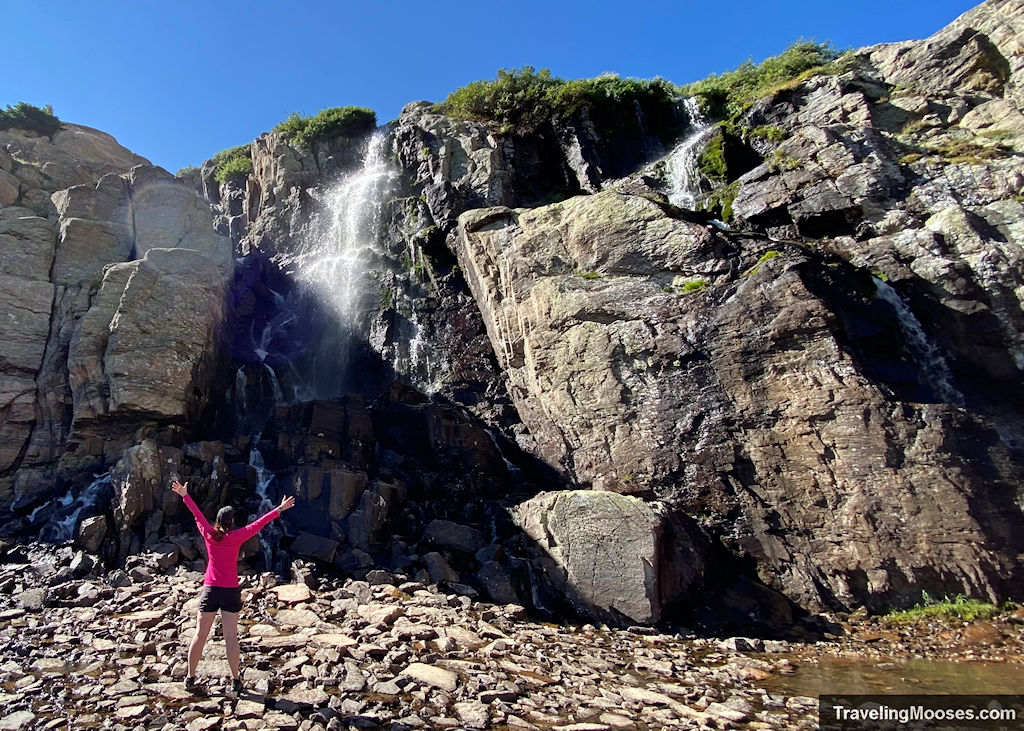
Climbing up Timberline Falls (<0.1 miles)
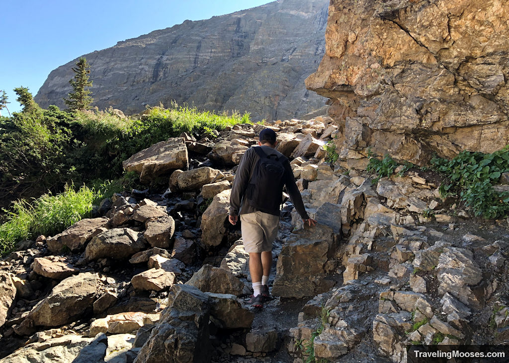
The next section is by far the most challenging of the hike and not for the faint hearted. To make it up the falls, you have to scramble up a steep but short section of the trail. It looks fairly innocent in the pictures, but utilizing your hands and feet are required to make it up.
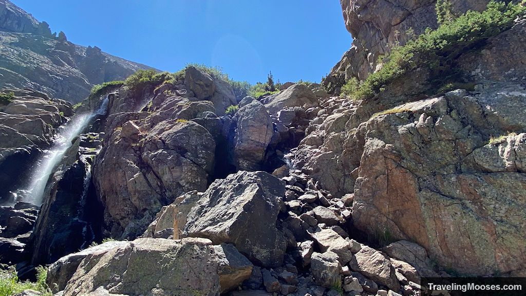
Start by keeping to the right of waterfall. The first section is by the hardest and once you make up the steep ledge, the second portion of the scramble is simple in comparison. We did find several spots with loose rocks/scree, so be careful to watch your footing coming up and down.
During busy times, you’ll likely have to wait (as we did) for other hikers to finish going up or coming down. There’s really only one good route and it doesn’t seem prudent to have two hikers coming and going at the same time.
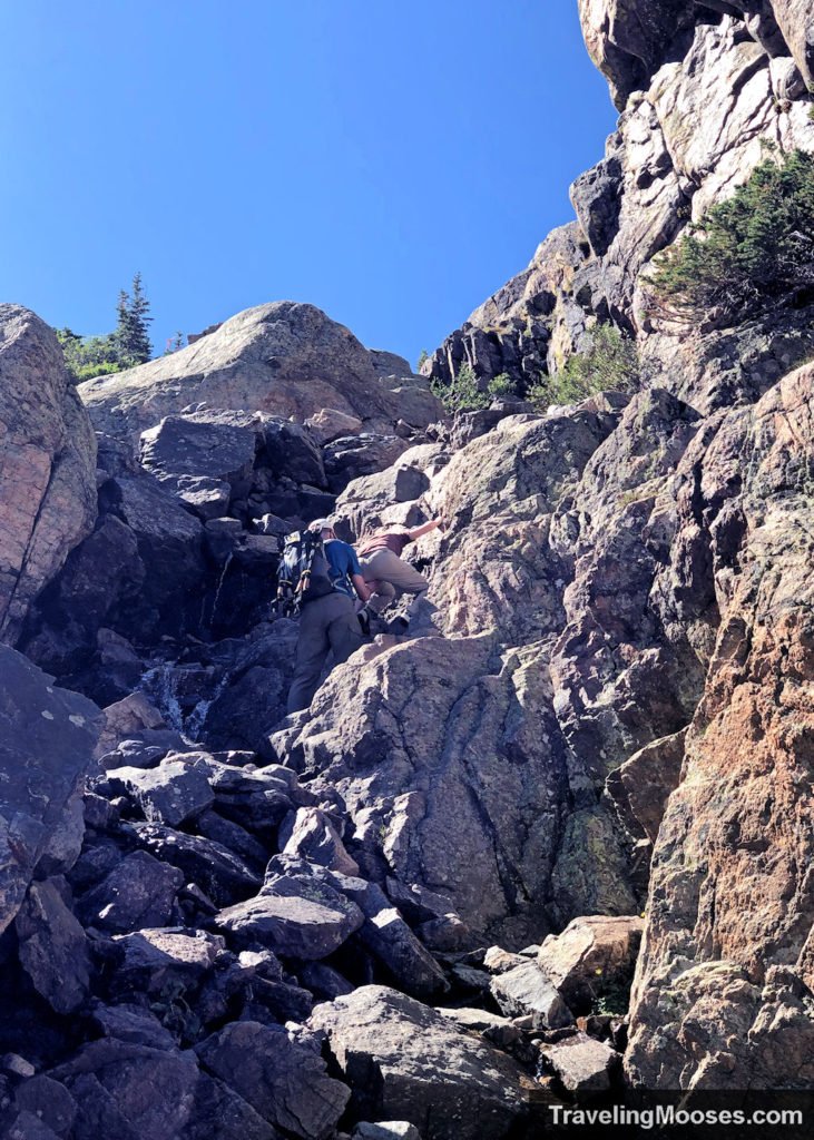
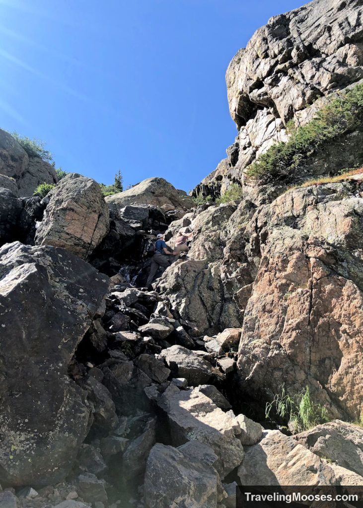
So how hard was it? For me, I’m afraid of heights and not confident climbing up rocks. My strategy was to find an initial footing, go fast and not look back. Speed and not second guessing my decision helped a lot getting up. I definitely breathed a sigh of relief after the first section of the scramble.
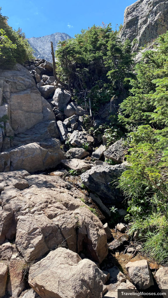
My husband didn’t have any trouble climbing up. We did see one couple go ahead of us where the girl needed help getting up. We also saw another couple (carrying a baby on their back), that had zero trouble climbing right up. If you have sturdy shoes and you’re not afraid of heights, you’re likely to be fine.
I was quite nervous on the way back that it would be difficult getting down, but it turned out easier than getting up. Even the couple with the child carrier didn’t have any issues making it back down.
Lake of Glass to Sky Pond (0.6 miles)
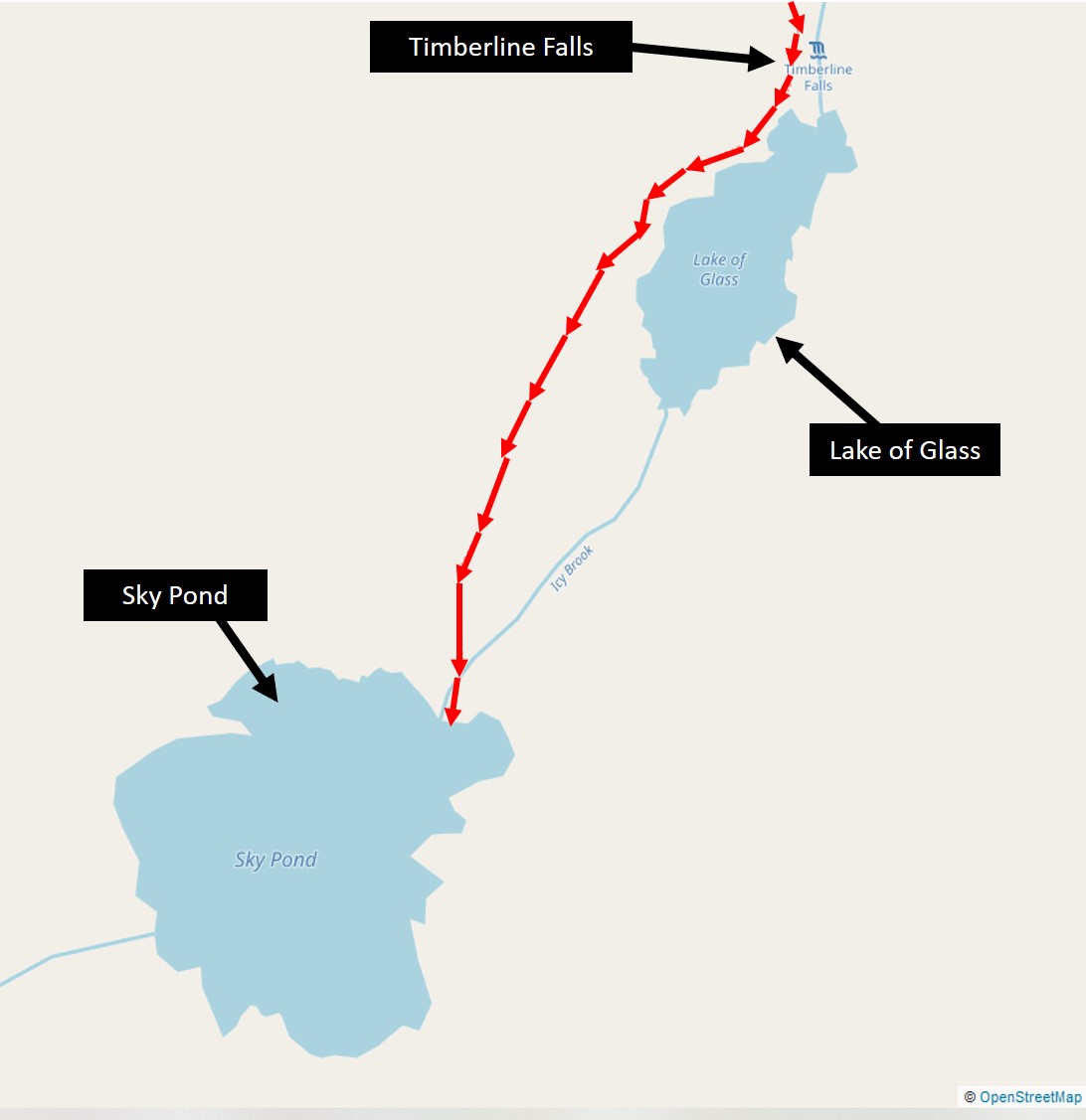
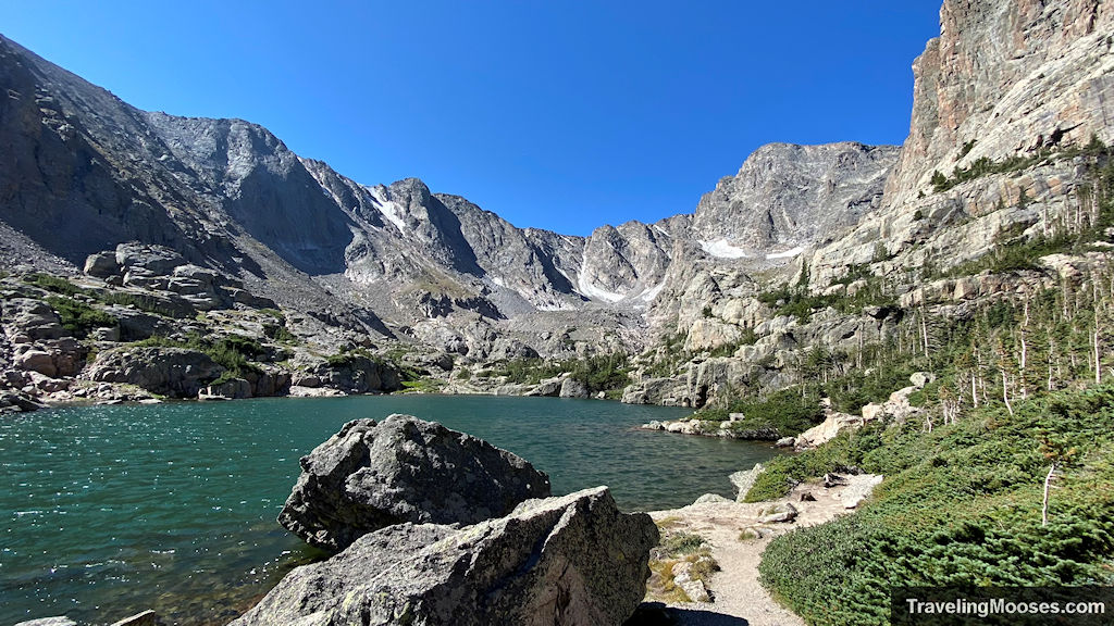
If you’re one of the brave to climb up Timberline Falls, you’ll be met with a beautiful view of the second lake on the way to Sky Pond, the Lake of Glass. From here to Sky Pond, there is only a short 0.6 mile fairly flat walk to complete.
The Lake of Glass is often mistaken for Sky Pond, and you’ll likely find a fair number of hikers lounging around at the start of the lake. To continue on the trail, hug the right side of the lake, fairly close to the water and look for a trail. After you walk a quarter of the way around the lake, you’ll have to turn to the right and hike maybe 100 feet away from the lake up a small hill to continue on the trail. This portion of the hike is often confusing for hikers (including for us) and we found that we were helping guide those who came after us. This is where having a GPS map (we prefer Alltrails) helps immensely to guide you.
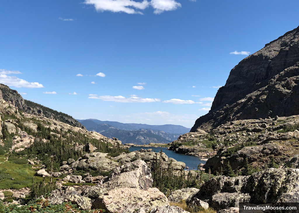
If you don’t have a GPS app, just know you should stay to the right of lake and keep your eye out for the trail leading away from the lake before continuing.
This leg of the journey was one of my favorites (despite all the beauty that came before). For all the Breath of the Wild fans out there, this section of the trail appears as if you’ve been transported directly into the game. I could imagine Koroks hiding everywhere!
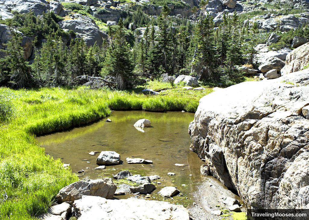
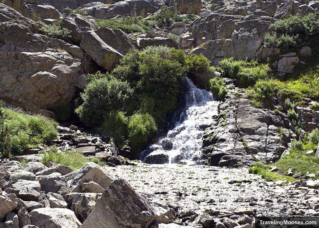
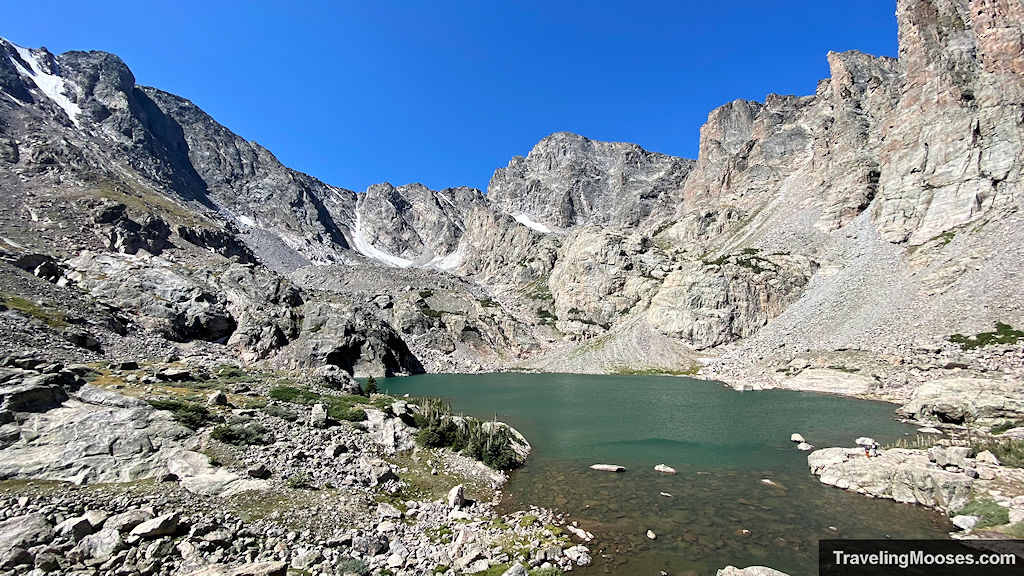
After passing another small waterfall, we had finally arrived at Sky Pond. The lake was just as beautiful as the ones that came before it, but this area had the added benefit of rugged mountains as a back-drop.
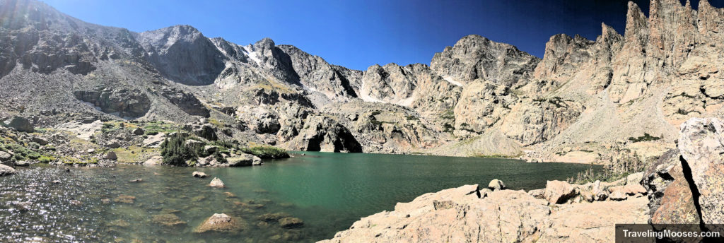
While it was sunny the day we hiked, the weather at Sky Pond was colder and very windy. We attributed it to the high elevation (10,900’) of the lake. We opted against having lunch at Sky Pond due to the wind, but there are plenty of great vantages to lounge on and enjoy a quick bite.
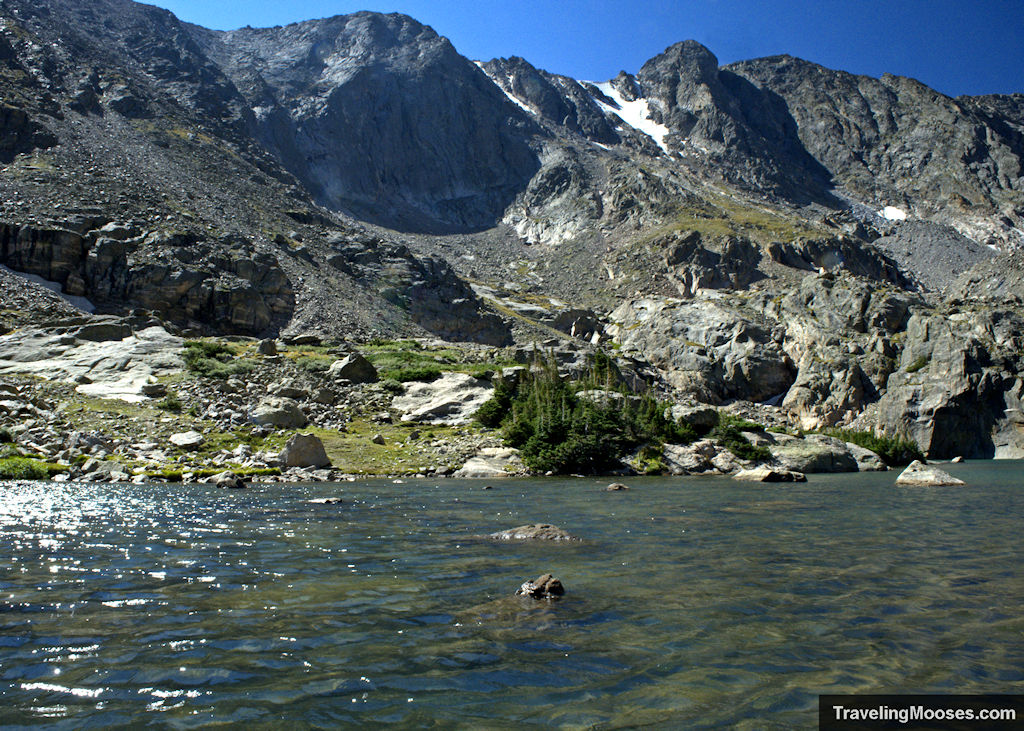
The return trek was uneventful (including the hike down Timberline Falls). We enjoyed lunch at the Loch and made it back to the Glacier Gorge Trailhead around 3:20 p.m. Our total time on the trail was around 8 hours. This included time for lunch and lots of picture stops. We ended up having to wait about 10 minutes to catch a shuttle back to the Park & Ride. We were lucky to get on the first shuttle that came by as they only let 4 people on. It was already packed from the people coming back from Bear Lake. Keep in mind you may be need to patient in waiting for an available shuttle during high season.
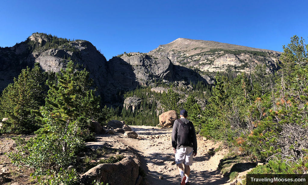
Should you visit the Sky Pond via Glacier Gorge Trail?
Rating: 5.0 Mooses

What we liked
- Sky Pond will go down as one of the top five favorite hikes we’ve done so far, in any state or country. The trail was packed with waterfalls, forests, wildlife, and breathtaking views around every corner. Some trails have long periods of “boring” hike time, this trail did not.
- The trail was well marked and maintained. We enjoyed the well-made stairs and excellent signs throughout (with exception of the trail between the Lake of Glass and Sky Pond).
What we didn’t like
- The park has limited the number of visitors on a daily basis into the Bear Lake Corridor with their timed reservation system. However, the Sky Pond hike is arguably the most popular in the area. This brings a large number of crowds regardless of the time of day making the trail crowded and some of the more difficult areas of the hike slow and potentially unsafe (i.e., the scrambling area at the waterfall).
- The shuttle system at the Park & Ride worked great in the morning, but was packed in the afternoon. We luckily got on the first shuttle that came due to timing, but many others had to wait as the buses were packed.
- Solitude is relatively non-existent on this hike.
- Many hikers were not respectful of those wishing to photograph the beautiful waterfalls and landscapes and would walk directly in front of those taking pictures. We didn’t experience this on other trails in the area.
Know before you go
- Be sure to reserve your timed entry reservation on the recreation.gov app before you visit. When you’re reserving your ticket, make sure it includes “Bear Lake Corridor – all park access” or you won’t be able to visit Sky Pond.
- Bring lots of water and snacks. This is a long hike and you’re going to need it, especially when it’s warm.
- It gets windy up at Sky Pond and temperatures can change quickly in the Rocky Mountains. Keep an eye on the weather and bring layers.
- We recommend utilizing the shuttle system at the Bear Lake Park & Ride as parking is extremely limited at the trailheads.
- Pets are not allowed on the trail system.
- Overnight camping is not allowed without a back-country permit.
- Fishing is allowed in the Loch if you have a Colorado fishing license.
- Always hike with the 10 essentials and be mindful of the hazards while hiking in the mountains.
More information for your trip to Sky Pond in Rocky Mountain National Park
Is Sky Pond a hard hike?
Sky Pond is considered a strenuous hike due to the distance (9.4 miles), elevation gain (~1,700 feet) and the small scrambling section at Timberline Falls. The hike takes an average of 6 to 8 hours and requires a moderate fitness level. Turning around at Timberline Falls would make it a moderate hike.
Where do you park to hike Sky Pond?
There are three options to park for the Sky Pond hike. The first is at the Glacier Gorge Trailhead which is the most ideal location but the smallest parking lot. Many hikers find this lot to be full by 5 a.m. during the busy season.
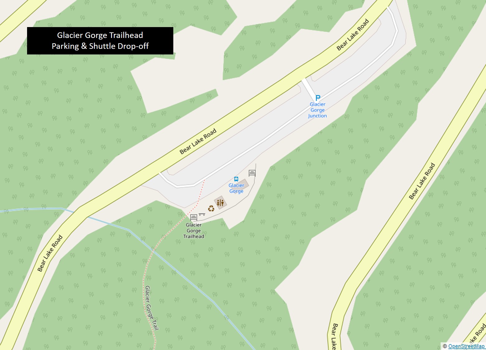
The second option is at the Bear Lake Trailhead. This lot is larger, but is also a very popular area and fills up fast. The final option is to park at the Bear Lake Park & Ride and utilize the free park shuttle that runs every 15 – 30 minutes. This is the preferred option for many that visit the park.
Do you need a reservation for Sky Pond?
A timed-entry reservation is needed to enter Rocky Mountain National Park in the high season (late May through early October). Reservations can be made on the Recreation.gov app for a fee of $2.00. If tickets are sold out, you can try the app at 5 p.m. local time the prior day, when a limited number of last-minute spots become available to the public. These spots typically sell out within 5 minutes.
What time can I get into RMNP without a reservation?
You may enter the Bear Lake Corridor before 5 a.m. or after 6 p.m. without a timed entry permit during high season (approximately late May to early October).
You may enter Trail Ridge Road before 9 a.m. or after 3 p.m. without a timed entry permit during high season, but this excludes access to the Bear Lake Corridor.
How high is Sky Pond in Rocky Mountain National Park?
Sky Pond is located at an elevation of 10,900’.

