In this guide:
- White Rock Loop Trail Stats
- What to expect on the trail
- Is the trail worth it?
- Practical Info for your trip
- Current trail conditions
- Clockwise or Counterclockwise?
- What to bring
- Parking
- Entrance Fees
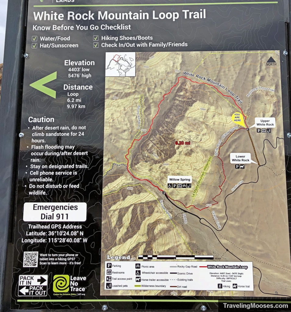
- Trail Maps
- Trailhead Amenities
White Rock Mountain Loop Trail Stats
| Trail Description | Loop |
| Location | Red Rock Canyon National Conservation Area Scenic Loop Drive |
| Parking Lot | Willow Springs Picnic Area – Rocky Gap Rd., Las Vegas, NV 89161 or Upper White Rock Parking Lot – Scenic Loop Dr., Las Vegas, NV 89161 |
| Round Trip Mileage | ~6.2 miles |
| Average Time | 3 Hours |
| Difficulty | Moderate |
| Elevation Gain | ~1,000 |
| Best time to visit | October through May |
| Amenities at Willow Springs Picnic Area | Parking, information board, primitive bathrooms, trash can, picnic tables. |
| Entrance Fee | $20 per vehicle or the America the Beautiful Pass. Reservations are also needed during high season (Oct 1 – May 31). Prices subject to change, see current pricing here. |
| Rating | 4.0 Mooses |
What to expect on the trail
We wanted to do a last-minute hike at Red Rock Canyon and decided to check out the White Rock Mountain Loop.
We entered the park before 8 a.m. to avoid reservations on a holiday weekend. We also felt it was going to be busy despite the cooler temperatures.
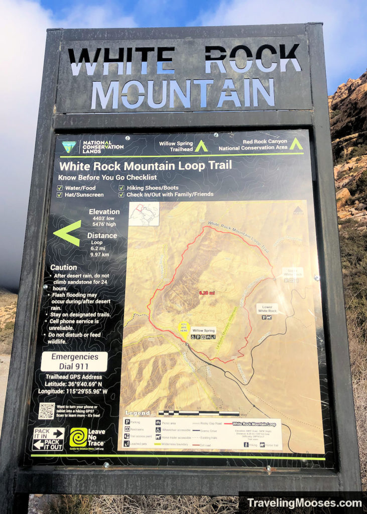
The parking area only had a few cars when we arrived so we snagged a spot and headed west as we could see the trail sign.
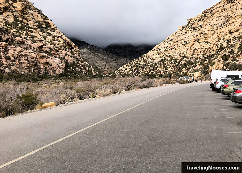
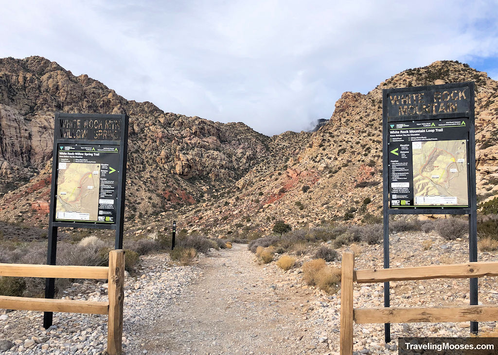
If you want to go counterclockwise (which most prefer), instead of going west, look for the paved path by the restroom behind the cars and follow it to the end. We didn’t see an official White Rock Mountain sign there, but it is the start of the trail.
For the clockwise route (which we took), the path starts up the unpaved portion of the Rocky Gap Rd. to the west.
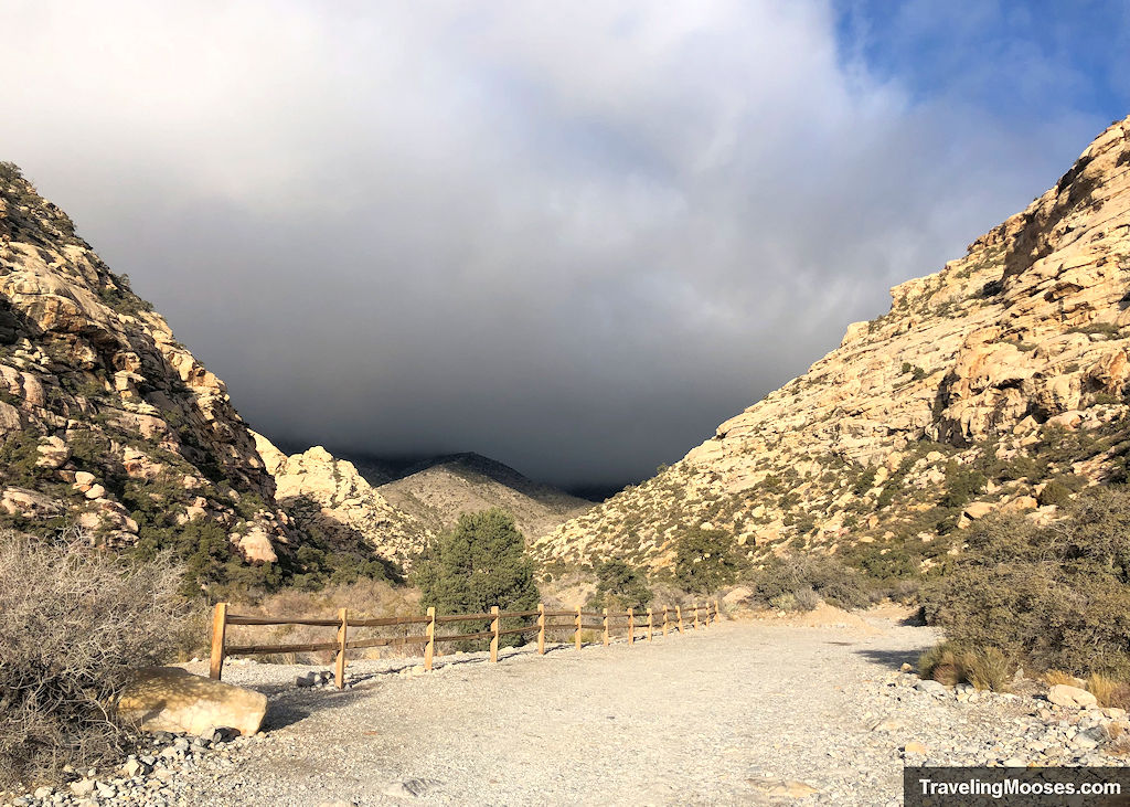
Keep in mind this road is used by four-wheel drive vehicles. It is lightly trafficked, but nevertheless, keep your eyes peeled for them.
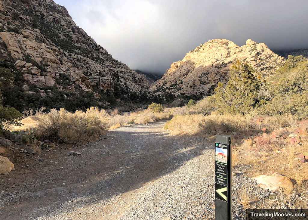
Some of the trail markers will point you towards La Madre Spring. The White Rock Mountain Loop trail shares the path with several trails, one of which is the La Madre Spring trail. On the eastern side of the loop, it shares the path with Willow Springs trail.
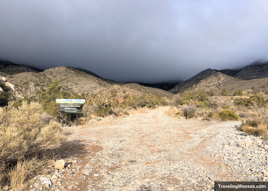
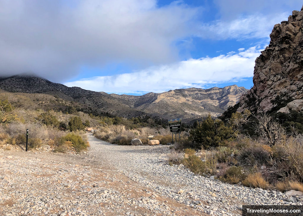
After around a half mile on Rocky Gap Rd., you’ll come to the Rainbow and La Madre Wilderness Boundary areas. Take the fork to the right (clockwise route) and head north on the La Madre Spring / White Rock Loop trail.
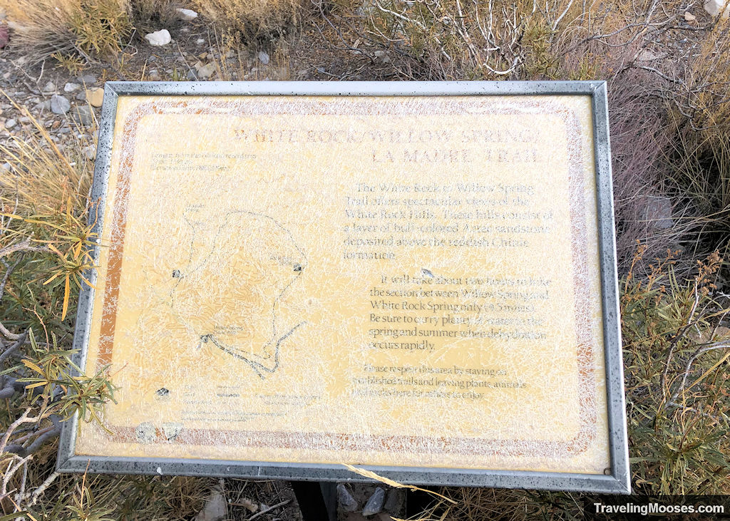
Once you turn the corner, you’ll find a detailed map of the White Rock Loop trail which is now almost unreadable.
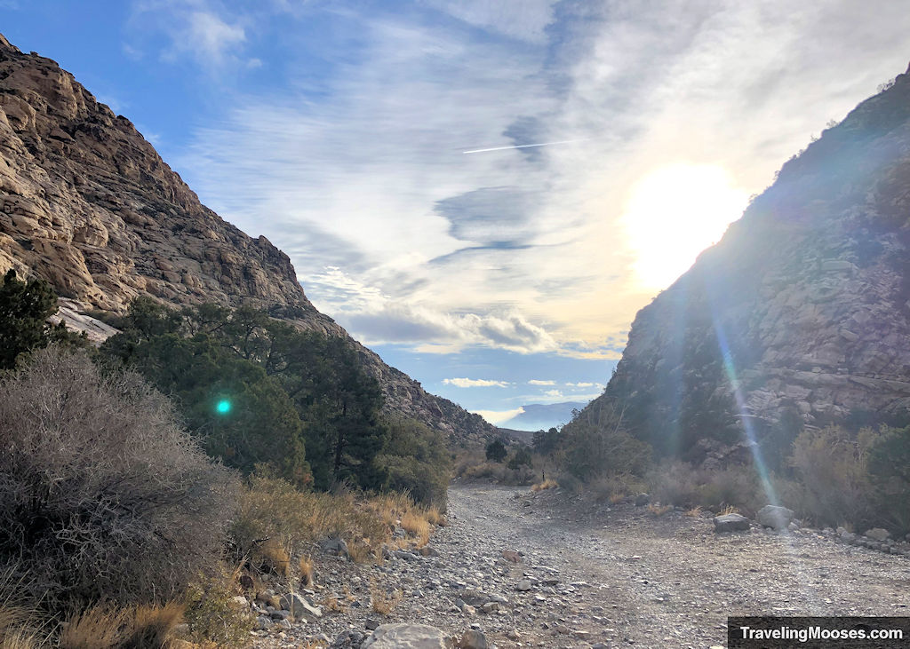
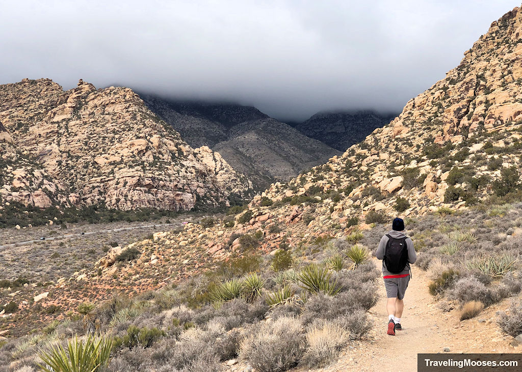
The trail will wind north with the White Rock Hills on your right.
The trail is well marked and less rocky on this portion.
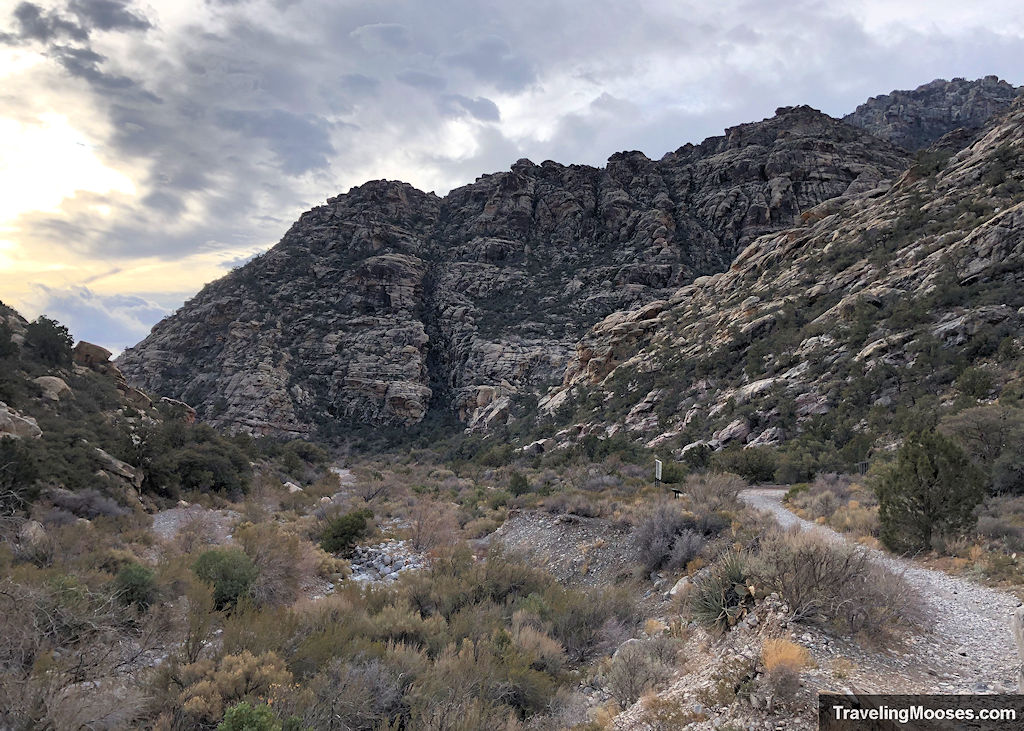
The first half of trail gains almost 900 feet of the total elevation. It is a gradual incline and once you reach the halfway point, it will start sloping down.
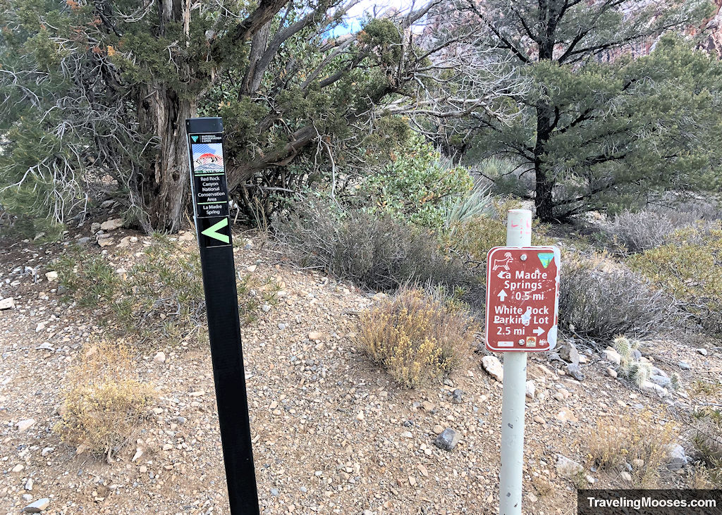
You’ll then come to a trail fork which leads either to the upper White Rock parking lot (right) or to La Madre Spring (left). Head right towards the White Rock parking lot.
This is reversed if you are hiking counterclockwise.
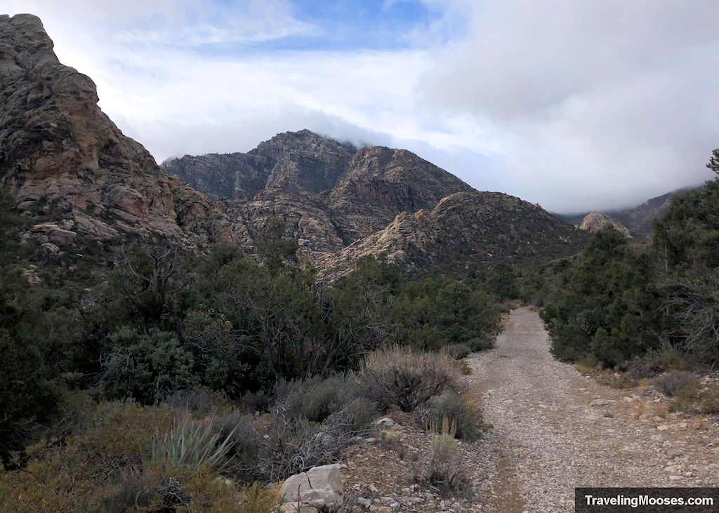
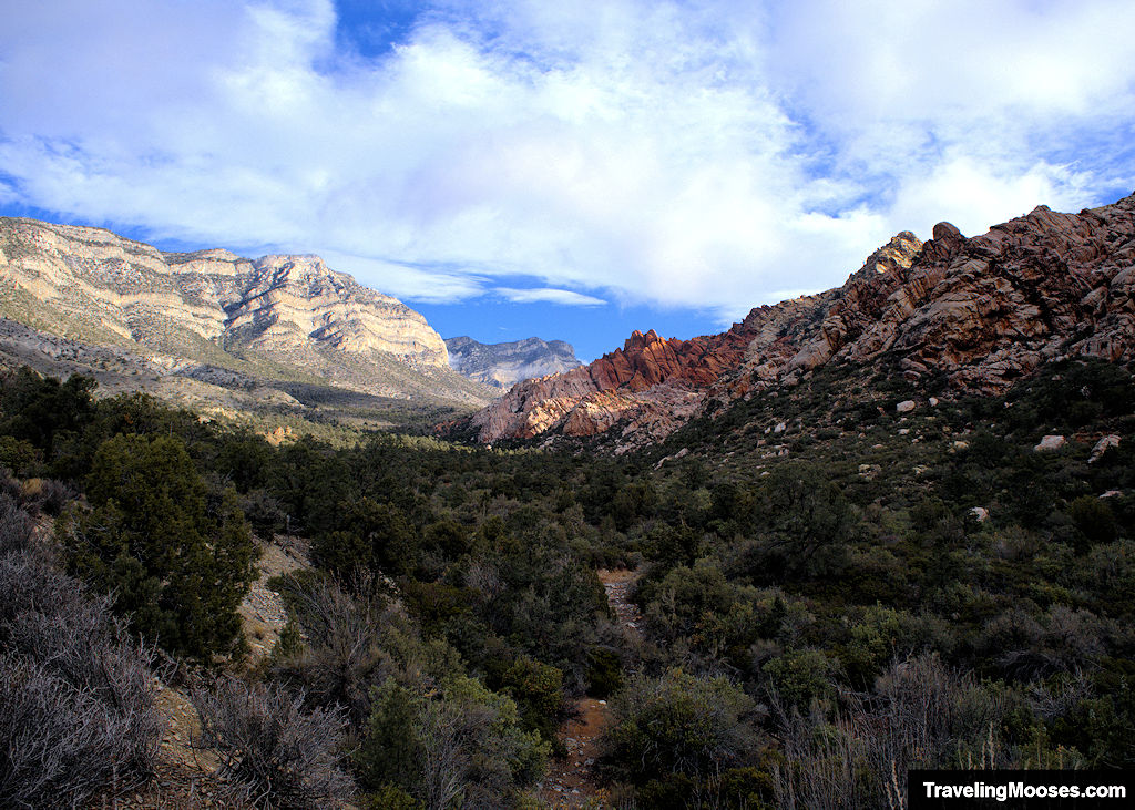
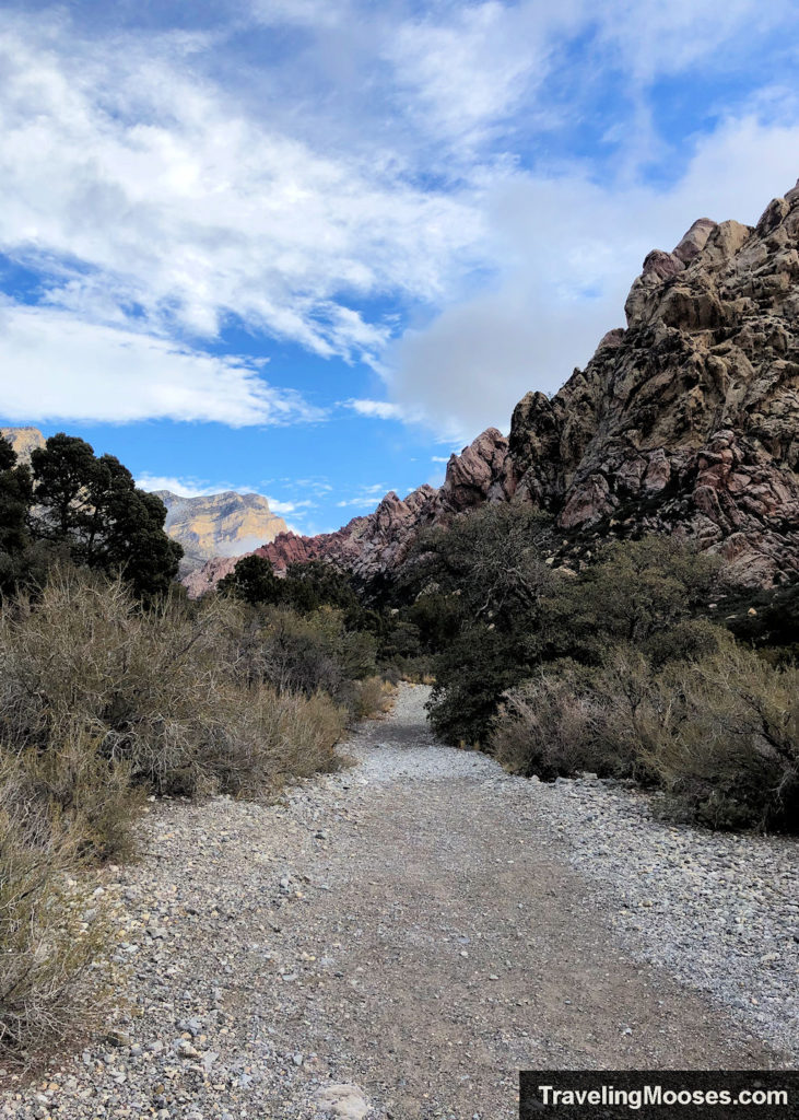
Along the way, you’ll see an abundance of rock formations.
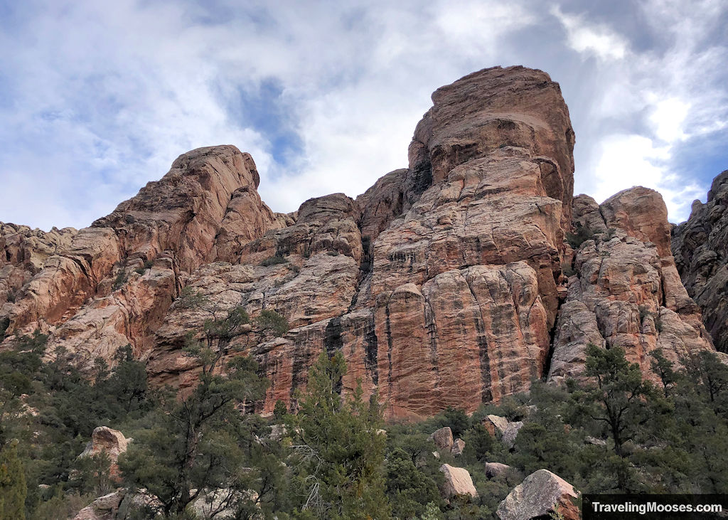
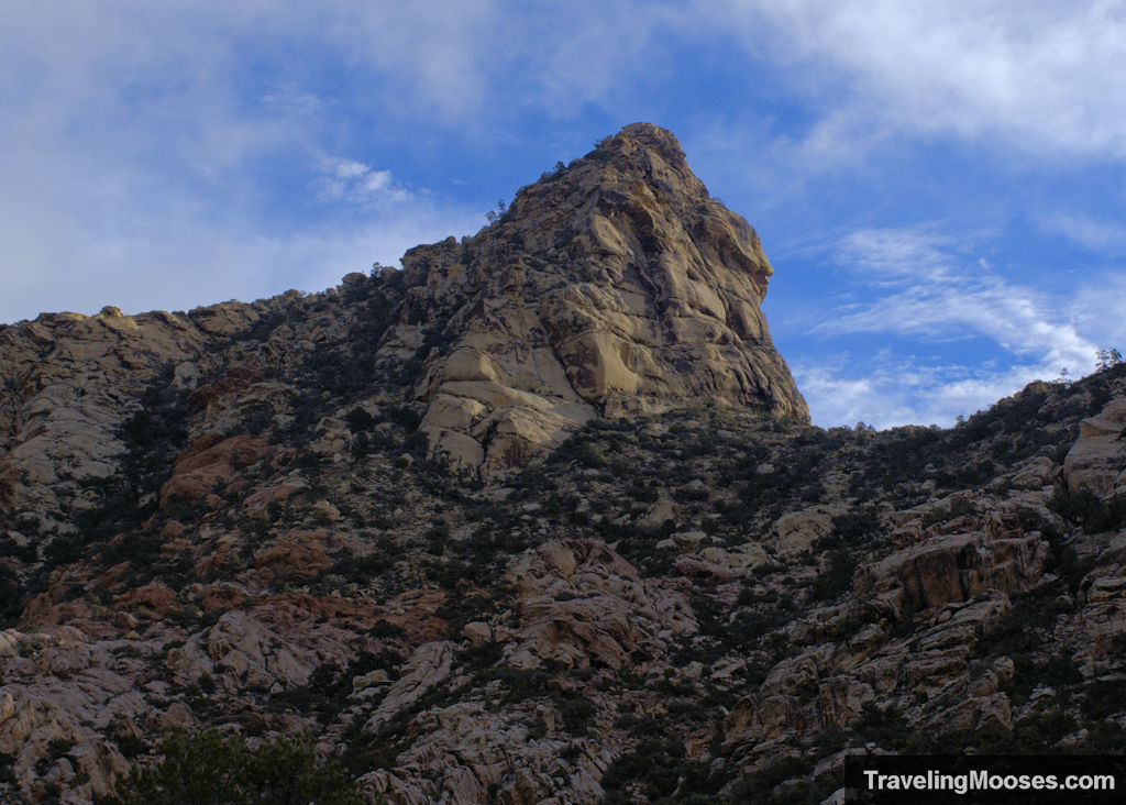
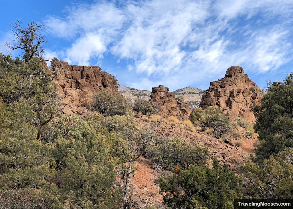
The views of the lush green valley are a far cry from the barren cactus filled desert floor on the other side of the White Hills and we we believe this is one reason most people choose to go counterclockwise around the loop.
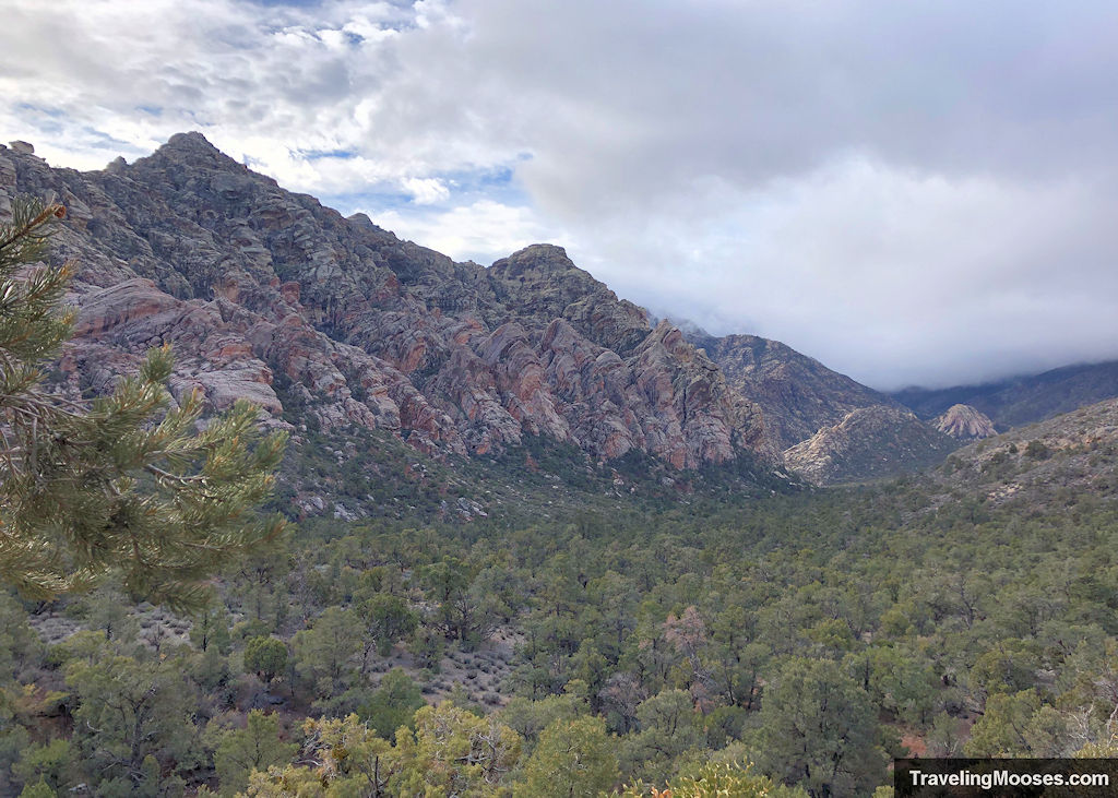
Then again, this is the view as you go clockwise.
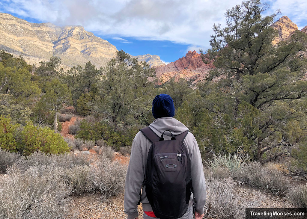
Whichever way you decide to go, be sure to stop and turn around once in a while.
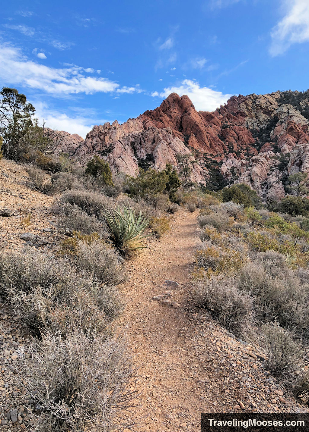
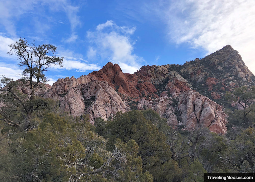
Around the half way point of the loop, we found some red sand along the trail.
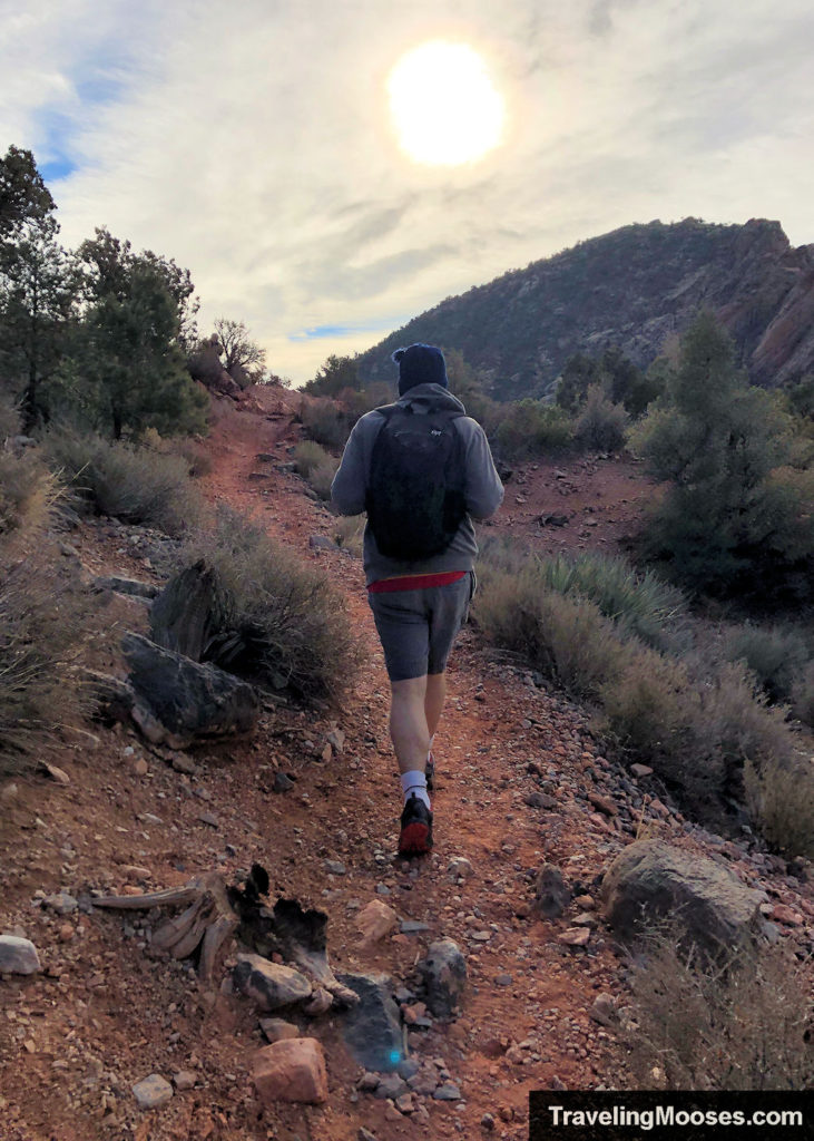
Not far over the final ridge, we saw Turtlehead Peak and started the descent on the back half of the loop. This is also where the wind picked up.
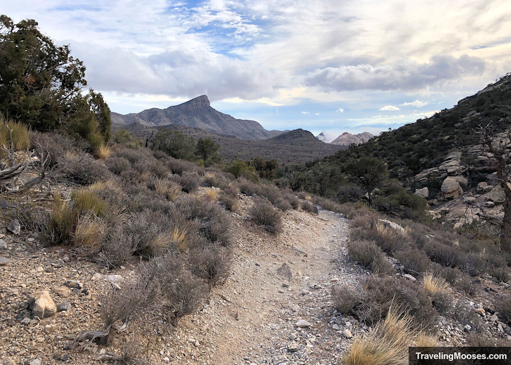
The trail continues to wind around the east side of the White Rock Hills and with it brings views of Red Rock Canyon.
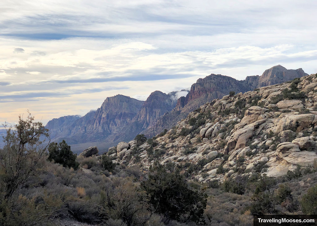
Except for a small hill around a mile from our car, we enjoyed the steady downward slope through the valley.
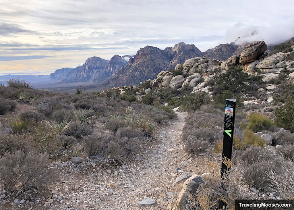
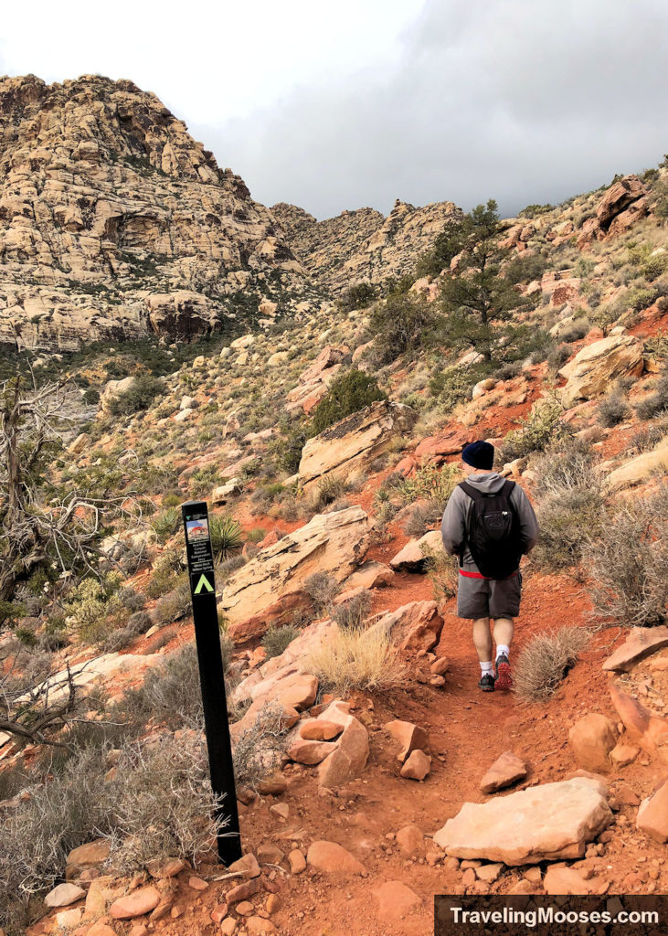
While the trail is well marked, you’ll continue to see signs such as the above throughout your journey.
If you’re feeling adventurous, along this route you’ll see a turnoff which takes you to the Keystone Thrust. It’s a geologic wonder that you may want to take a side trip to. Learn more about our trek here.
Just past the cut off to Keystone Thrust, you’ll pass through a wash, and ultimately end up at the upper White Rock parking area.
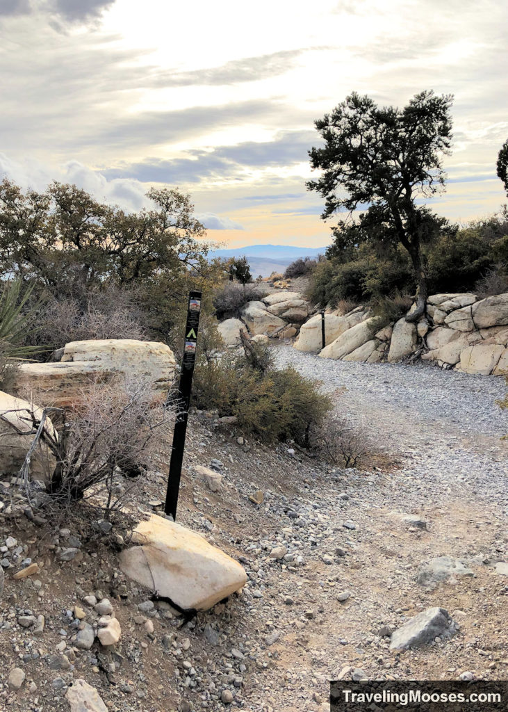
Head through the parking area to the right and begin the last leg of the journey along the Willow Springs trail.
The next portion of the trail becomes quite rocky. Watch your step, it’s a definite toe stubber!
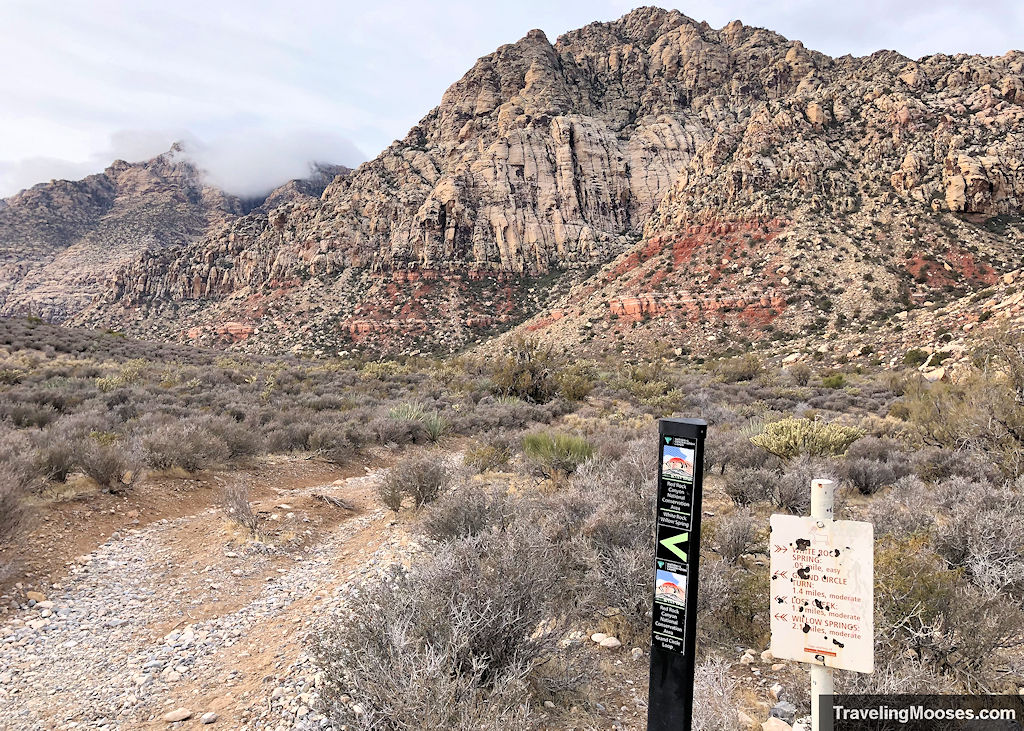
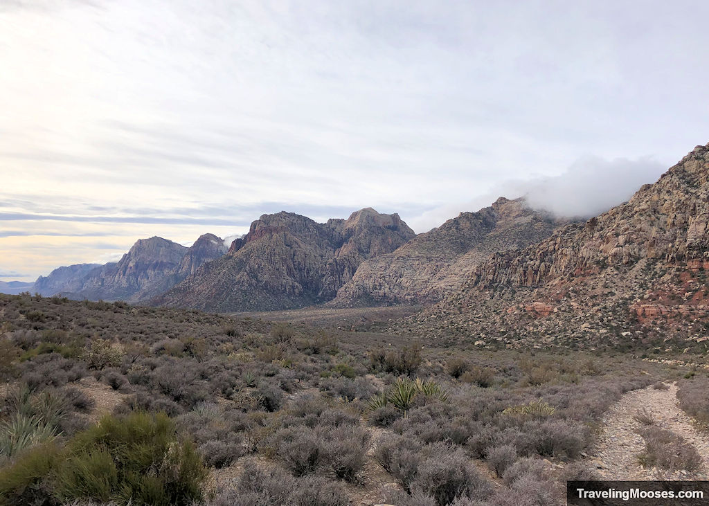
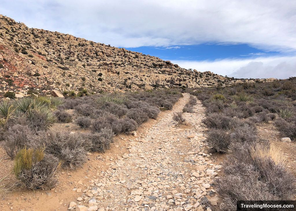
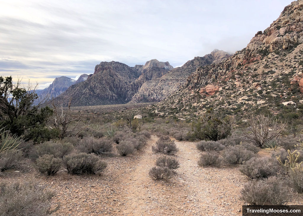
As we progressed down the trail, much of it wasn’t as scenic as the part we had already hiked. This may be another reason most go counterclockwise.
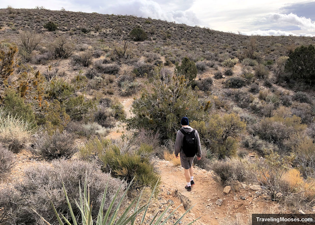
It did get a bit better as we continued.
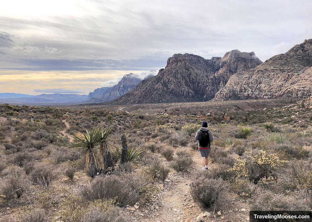
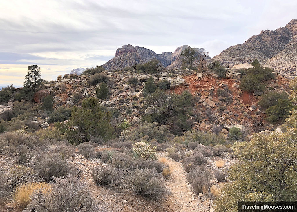
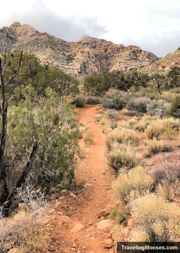
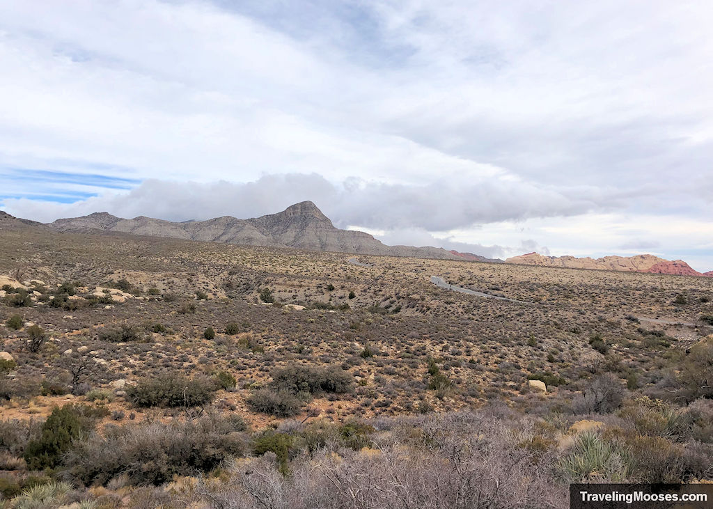
There’s one last hill to hike up and then around 0.7 miles back to the parking area at Willow Springs.
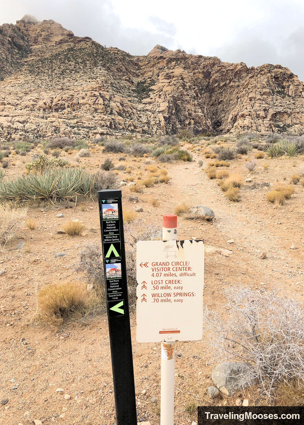
Heading west back towards the Willow Springs Picnic Area.
You’ll know you’ve made it back to the parking area when you run into a concrete sidewalk. There are a few information sign boards to read and some rock impressions (pictographs) that can be seen on the rock walls.
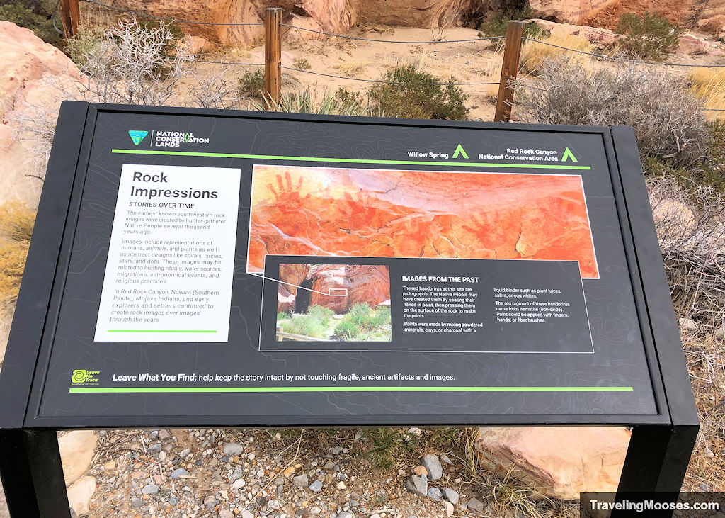
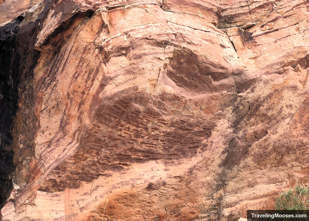
There’s plenty of time for a picnic at this spot, or you can continue on your journey through the scenic loop at Red Rock Canyon!
Is the White Rock Loop worth it?
Rating: 4.0

What we liked:
- Multiple views of various rock formations and mountains throughout the hike.
- The path was well marked and easy to follow.
- There are more popular hikes in the park and due to its length, you’re likely to have a little more solitude on this hike (especially on a weekday).
What we didn’t like
- There were a lot of rocks on the trail, especially along Rocky Gap Rd., and much of the Willows Spring trail (eastern part of the loop). There was a lot of toe stubbing on various rocks throughout our hike.
- The weather was less than ideal the day we visited (chilly and windy) which meant no stopping for a picnic. We did find most of the wind to be on the less protected eastern side of the loop.
- The last mile or so (clockwise hike), wasn’t incredibly scenic and seemed to drag on.
Practical info for your trip
Current trail conditions
- Check Alltrails for recent trail conditions.
- Check Red Rock Canyon’s current weather section for a web cam view of the park.
- Check the National Weather Service for temperature forecasts.
Clockwise or Counterclockwise?
Most hikers feel that counterclockwise is the more scenic option.
We intended to go counterclockwise, but when we arrived at Willow Springs, we found the trail sign at the far western part of the parking area and started the hike. At some point we realized we were going the wrong way, but decided to continue on anyway.
We really enjoyed the clockwise hike and felt there were plenty of beautiful views. However, we can see the appeal to go the other way and intend on completing the hike again in the future.
What to bring
Be sure to check the weather conditions and pack appropriately. This is what we brought for this hike:
Standard Gear:
- The 10 Essentials. These are a must for us on every hike.
Special Items of note:
- Hiking Boots or closed toe shoes – There were a lot of rocks on the trail. We recommend wearing either hiking boots or trail shoes with good grip on them.
- Clothing – Be sure to bring appropriate clothing for rapidly changing conditions. Weather can change extremely fast, especially during monsoon season.
- Water / Snacks – There is no running water available at the trailhead. Bring plenty of water (especially in the hot summer months) and extra snacks.
- Navigation – We use Alltrails (no affiliation) on all our hikes. The trail was well marked and I don’t think we would have needed it, but you should always have a form of navigation on any hike you take.
Parking
There are three potential places you can park for this hike, all within the scenic loop.
Option 1 – Willow Springs – Preferred

Location: Willows Springs Picnic Area – Rocky Gap Rd., Las Vegas, NV 89161
This is the easiest and most preferred option for this hike.
Pros:
- It has a nice picnic area.
- It’s right next to the Petroglyph Wall trail and other rock impression art.
- It has a primitive restroom.
- The parking lot is accessible via a paved road.
Cons:
- If you arrive at the parking area and there are no spots, your only option is to park at the Lost Creek Canyon trailhead (which is small). Otherwise, you’d have to complete the entire scenic loop again.
- There is only one sign for the White Rock Loop trail which is found on the far western side of the parking area near the gravel portion of Rocky Gap Rd. We did not see another sign on the eastern side of the loop. Hikers generally go counterclockwise, so we found this odd.
Option 2 – Upper White Rock Parking Lot
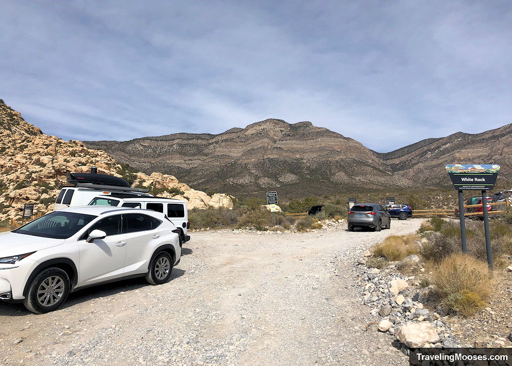
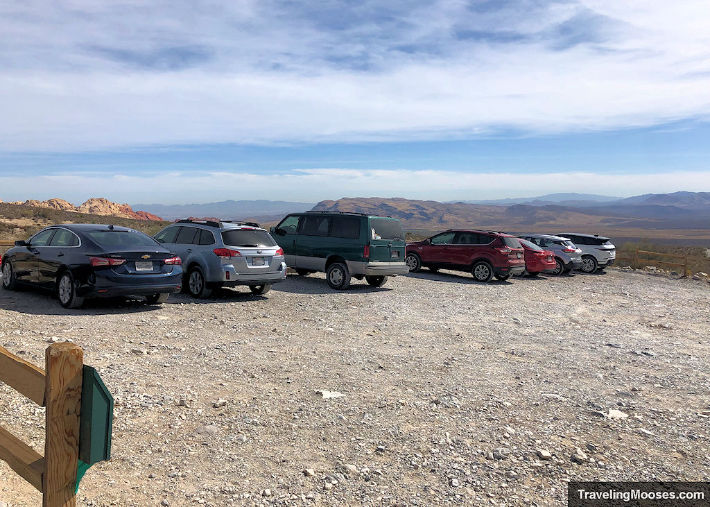
Location: Upper White Rock Parking Lot – Scenic Loop Dr., Las Vegas, NV 89161
This is the next best area to park for this hike.
Pros:
- Both sides of the trail are marked whether you want to go clockwise or counterclockwise.
- There are primitive restrooms at the parking lot.
- You could do a side trip to the Keystone Thrust if you’re up for an additional adventure.
Cons:
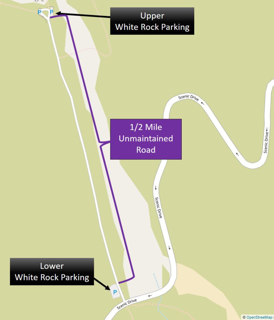
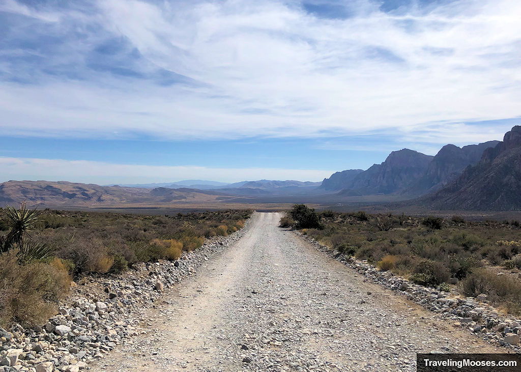
- This parking lot is only accessible via a 0.5-mile gravel road. We would not want to take our sedan up this road (although many do).
- The parking lot is small. You may get up there only to find there are no spots.
Option 3 – Lower White Rock Parking Lot
This is the least preferred option of the three choices.
Pros:
- This parking lot is rarely full as there are no direct trails leading from it.
- You don’t have to drive up the unpaved road to reach the trailhead.
Cons:
- You’ll add an additional 1.0 miles round trip to the hike.
- There are no restrooms or other amenities in the parking area.
- The parking area itself is gravel, but it’s accessible off a paved road on the edge of the scenic loop.
Entrance Fees
The Red Rock Canyon Scenic Loop costs $20 per vehicle (non-commercial) or they also accept the America the Beautiful Pass. ($80). During high season, a reservation is also required to enter the scenic loop between 8 a.m. and 5 p.m.
For more info on current prices or to make reservations check here.
All prices subject to change.
Trail Maps
Trailhead Amenities
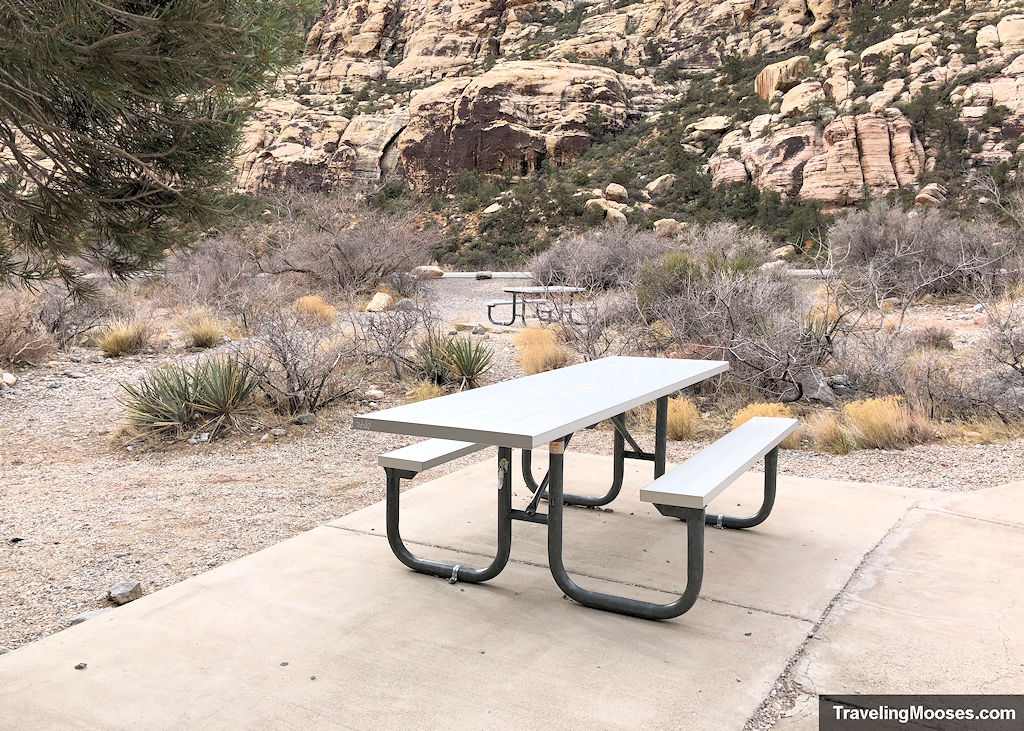
Willow Springs Picnic Area:
- Picnic Tables
- Trash receptacle
- Pictographs/Petroglyphs close by
- Trail information
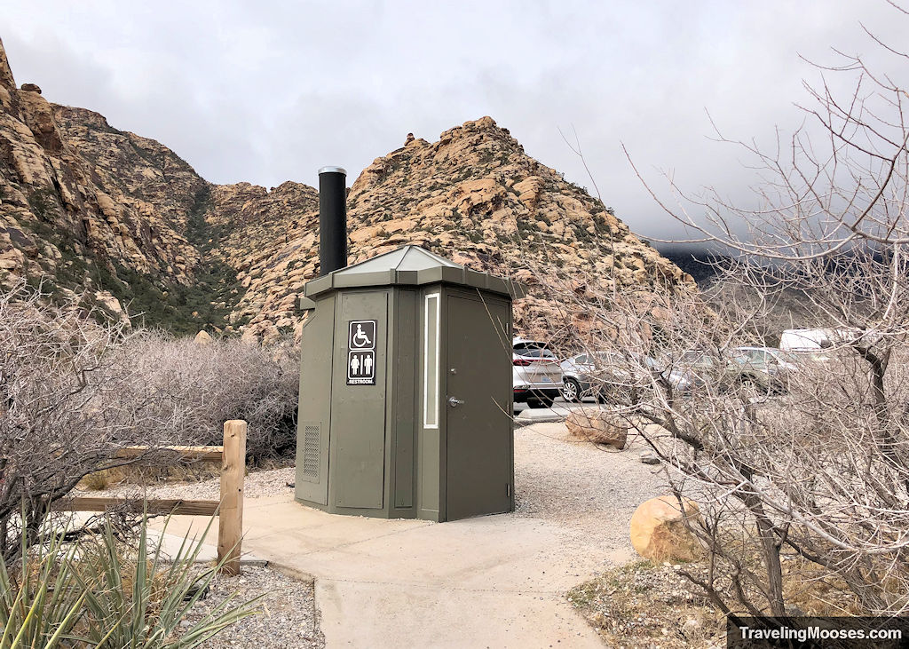
- Primitive restrooms
- Paved & unpaved parking options
Upper White Rock Parking Lot:
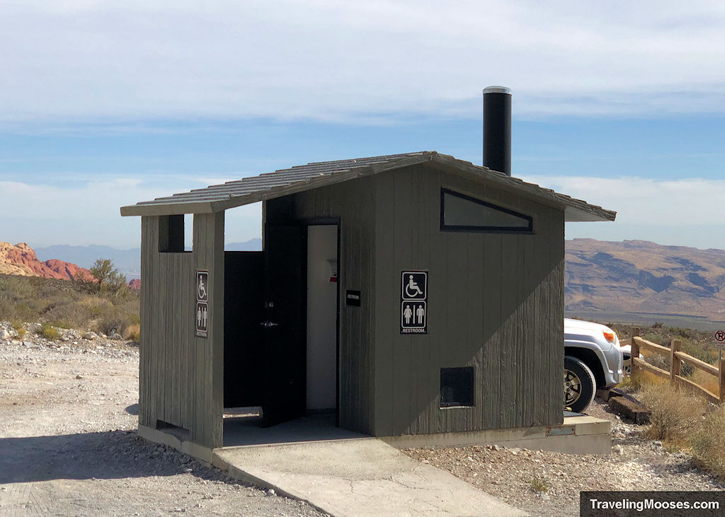
- Primitive Restrooms
- Trash Receptacles
More Information for your trip to Red Rock Canyon
- Guide to Red Rock Canyon
- Plan your visit: Top things to know about Red Rock Canyon near Las Vegas
- Choose a Hike: A list of every hike in Red Rock Canyon Area
- Best Canyon: Exploring Ice Box Canyon
- Best Views: Summiting Turtlehead Peak
- Fun Scramble: Kraft Mountain to upper gateway
- Quick Hike: Calico Tanks Trail
- Find the Guardian: Guardian Angel Pass Hike
- Overlooks:
You might also like:
- Nevada: 4 Hours in the Valley of Fire
- Nevada: Guide to Mt Charleston
- Nevada: Las Vegas Hiking Guide

