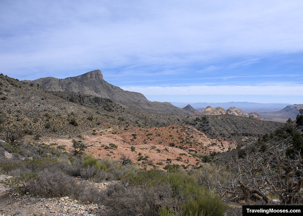
Step back in time to experience the geological wonder of the Keystone Thrust Trail in the heart of Red Rock Canyon National Conservation Area. This 2.4 mile out and back trail is best known for its beautiful views, rich history and year-round accessibility.
Keystone Thrust Trail Hiking Stats
| Trail Description | Out and back |
| Trail Location | White Rock Trailhead, Las Vegas, NV 89161 |
| Parking Lot | 36.17339, -115.47758 |
| Round Trip Mileage | 2.4 miles (from upper parking lot) |
| Average Time | 1 – 2 hours |
| Difficulty | Moderate |
| Elevation Gain | ~567 feet |
| Best time to visit | Accessible year-round, best from fall through spring in cooler temperatures |
| Entrance Fee | $20 / car or truck, $45 for annual pass or $80 for an America the Beautiful National Parks pass (pricing subject to change). Reservations are also required during high season (October 1st through May 31st from 8 a.m. – 5 p.m.) |
| Rating | 3.5 Mooses |
What is the Keystone Thrust?
Formed millions of years ago, the Keystone Thrust is a geological marvel created from two sets of plate tectonics that collided and left a massive fault line in the heart of Red Rock Canyon.
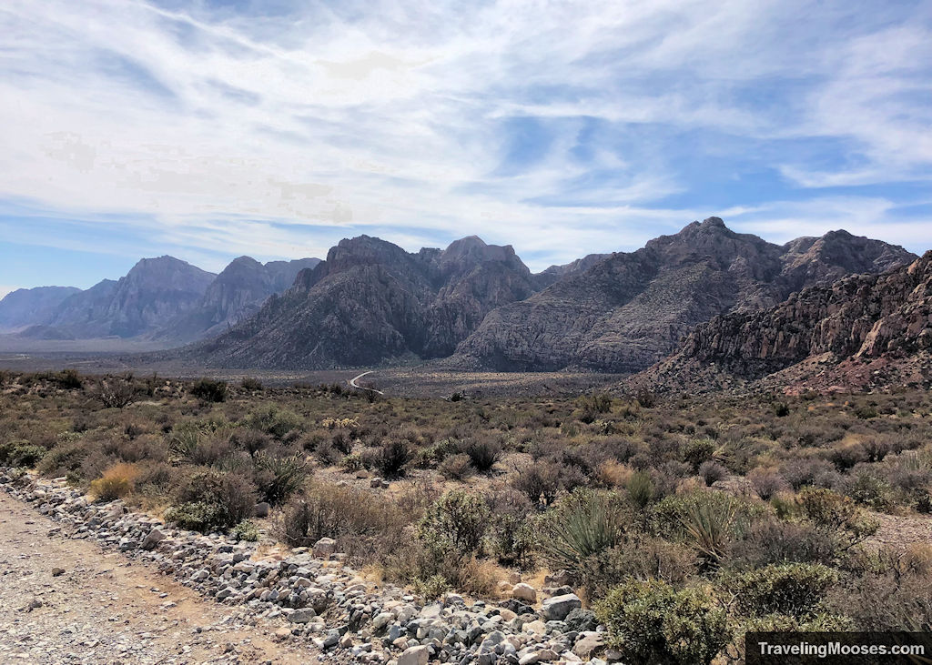
The result of the Keystone Thrust is a clear demarcation between the different geological eras with two colored rocks marking the fault line. On one side, the spectacular (and younger) red sandstone which dots much of the Red Rock Canyon valley and on the other, much older, limestone and dolomite.
The Keystone Thrust is a geological marvel due to the older limestone ending up in many cases on top of the much younger sandstone. This can only happen with the help of plate tectonics pushing the older material on the younger material.
This thrust is one of the easiest and most dramatic examples of thrusts found in the United States and can be viewed throughout much of the trail.
What to expect on the Keystone Thrust trail
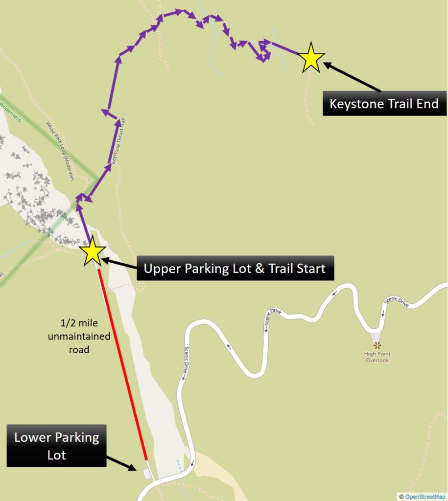
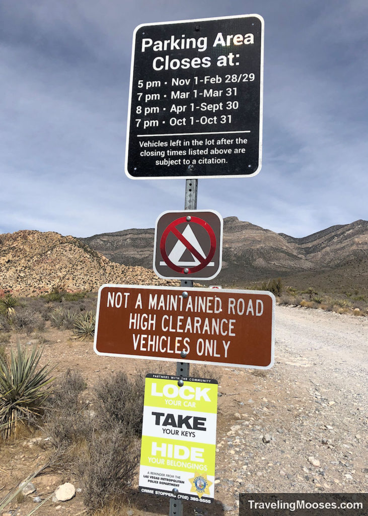
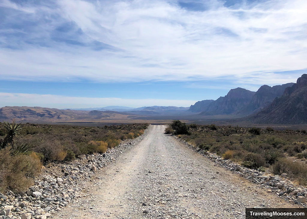
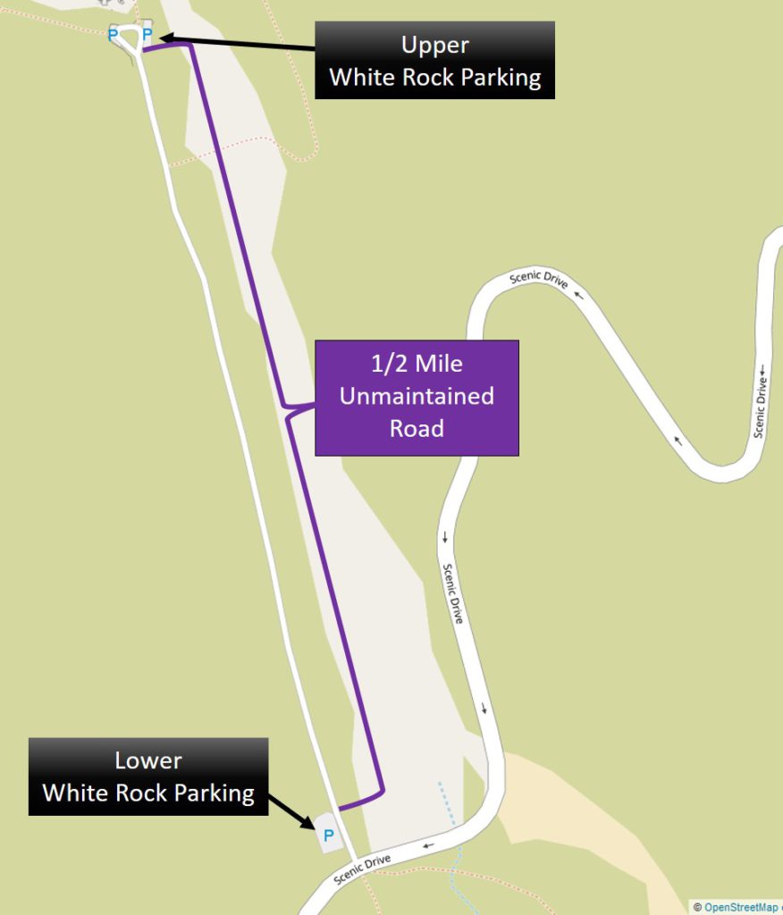
We wanted to hike the Keystone Thrust Trail since arriving in Vegas over a year ago, but we were concerned about the drive to the trailhead. While it is possible for a sedan to make the trek up the 0.5-mile unmaintained gravel road, we didn’t want to take the chance of damaging the car paint or popping a flat on the sharp rocks.
After doing a little more research, we realized we could park at a lower parking lot near the trailhead and tack on the extra 0.5-miles as a work around. This was ideal for us as we were looking for a slightly longer hike anyway.
We arrived to find the lower lot mostly empty and trekked by foot up the gravel road to the official trailhead. You can drive any vehicle up this road if you go slow enough. It’s really a question of how you feel about getting your car dirty and potentially kicking up rocks, dirt, and putting stress on your suspension and tires. We tend to baby our sedan, but that is a personal preference given we are a one car household.
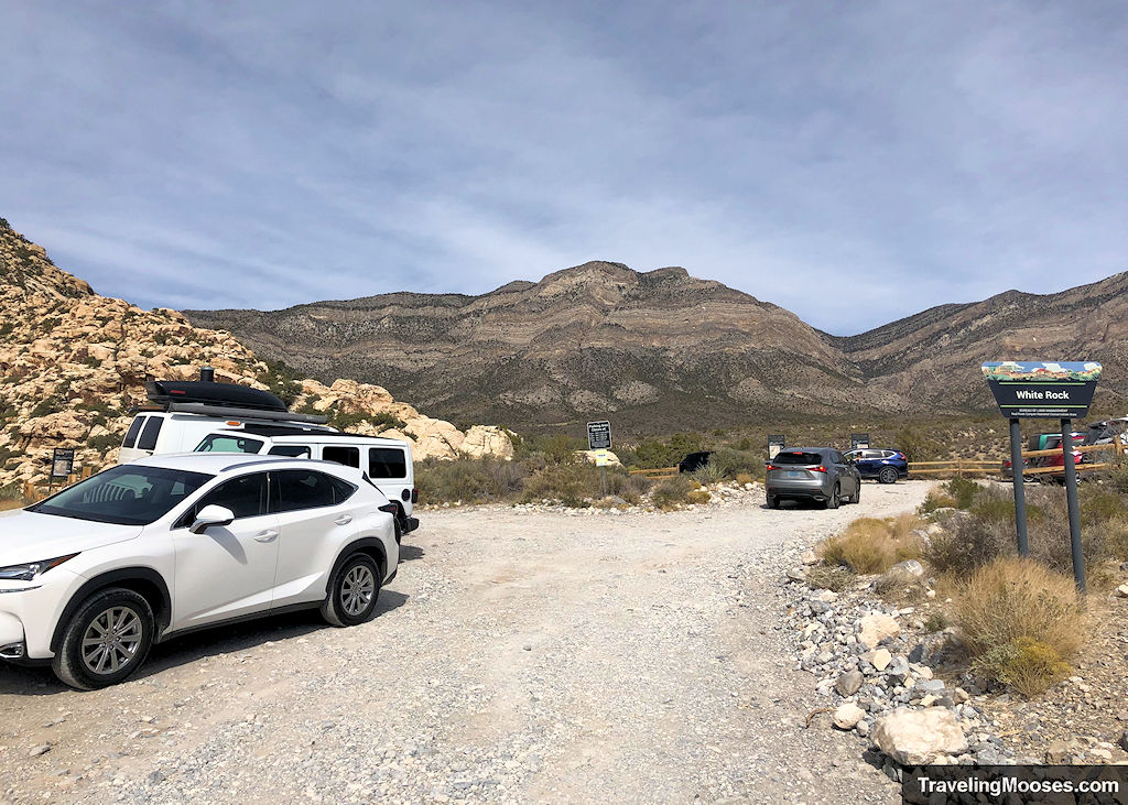
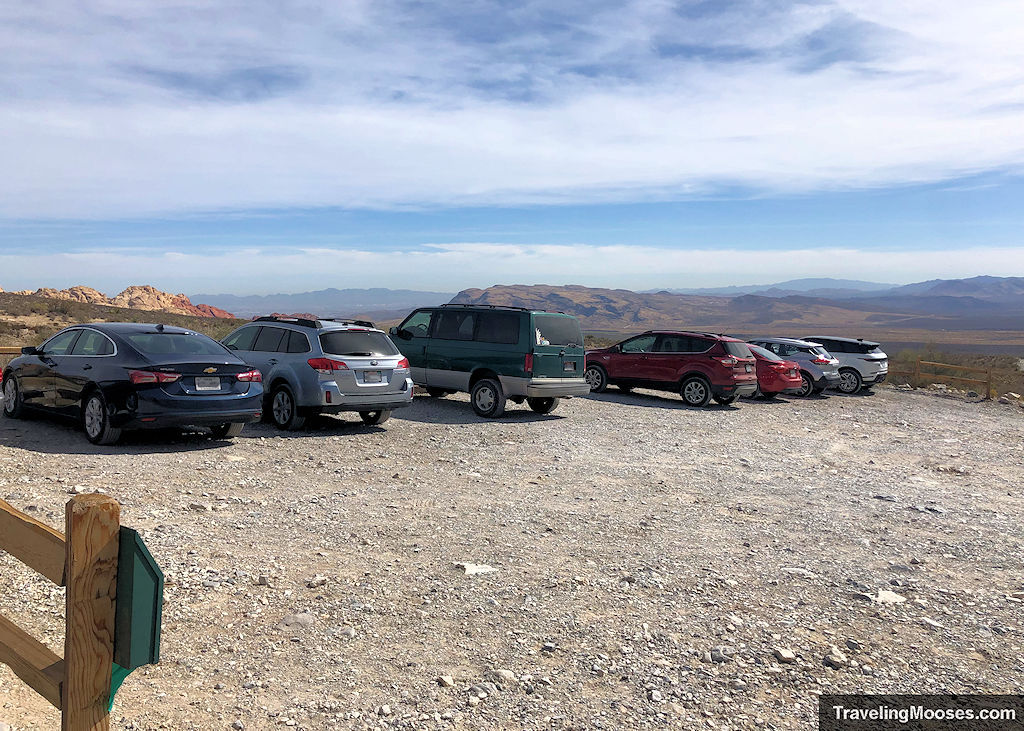
Anyway, we arrived at the official trailhead and found it completely full with approximately 10-15 cars lined up. This lot is the jumping off point for several hikes so we weren’t surprised to see it full on a nice day.
The trail starts on the north side of the White Rock Trailhead parking lot.
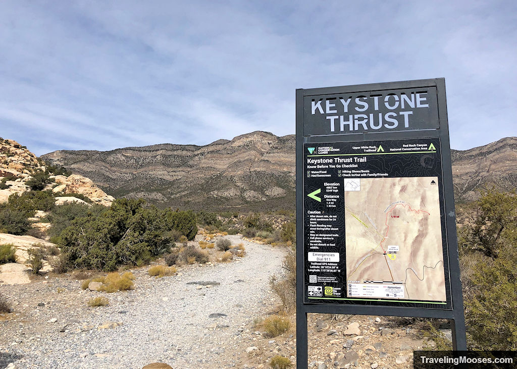
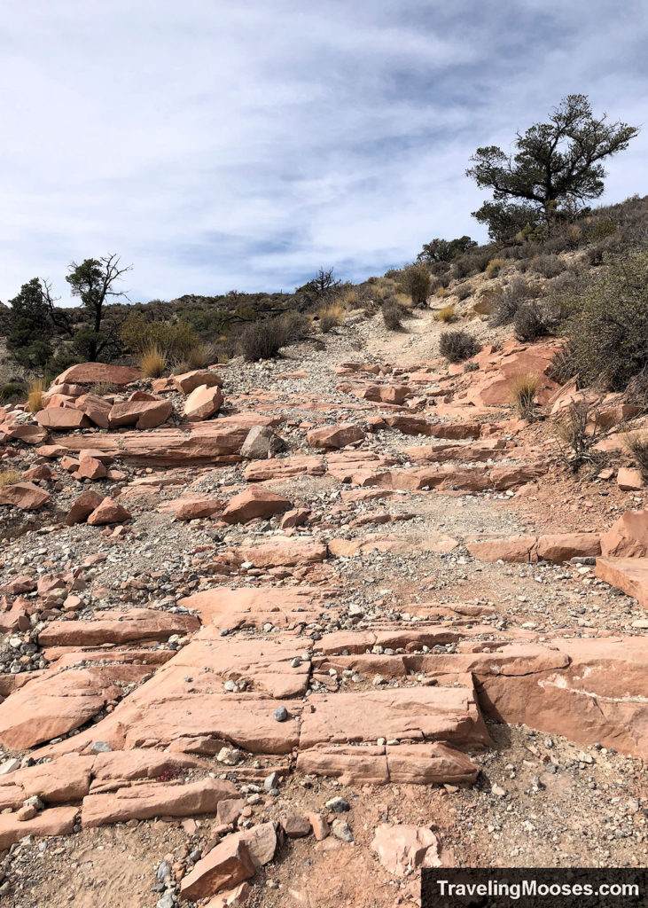
We quickly ended up in a wash and saw a fork in the trail that jutted to the right. After turning, the trail sloped gently up on a single-track trail that was fairly rocky. We had to watch our footing as the path was uneven.
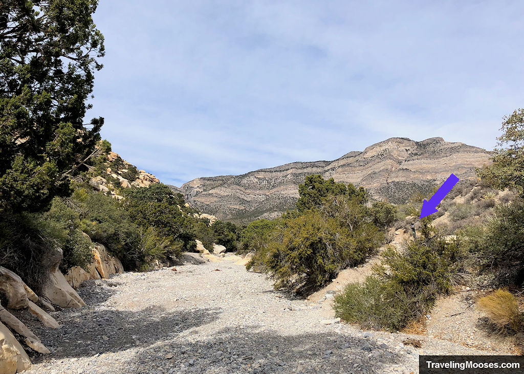
After a short distance, we took another right to continue following the Keystone Thrust Trail. We later learned if we went straight, we would have been on the much longer White Rock Loop Trail.
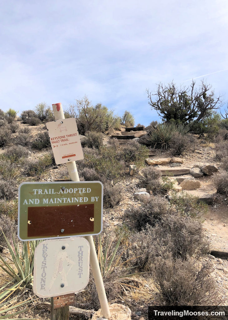
Take time to look all around at this point as the views are beautiful from all angles.
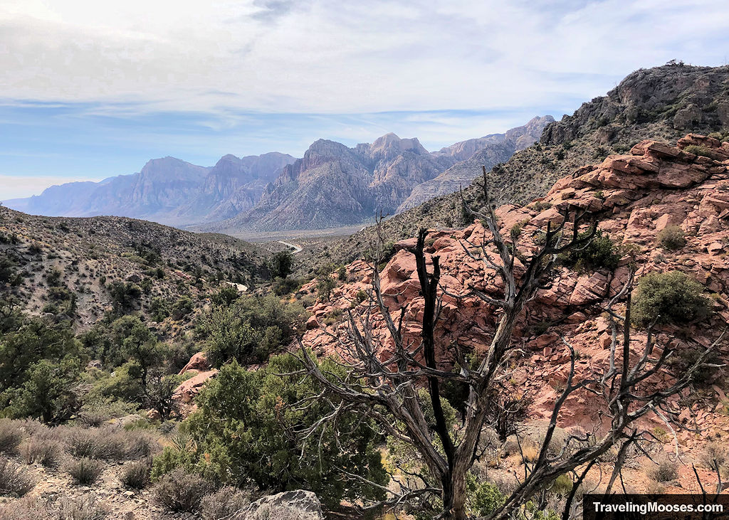
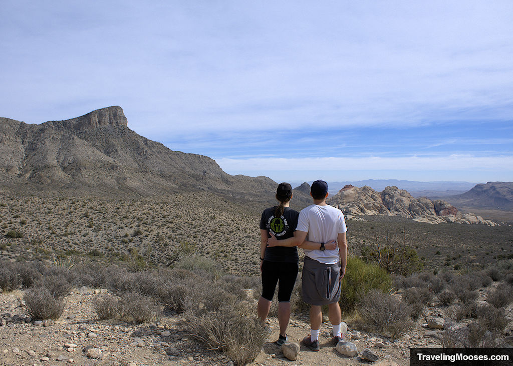
After around 0.6 miles, we came to another right turn. This was the beginning views of the Keystone Thrust Fault. We noticted the red colored sandstone on the right and the darker limestone on the left.
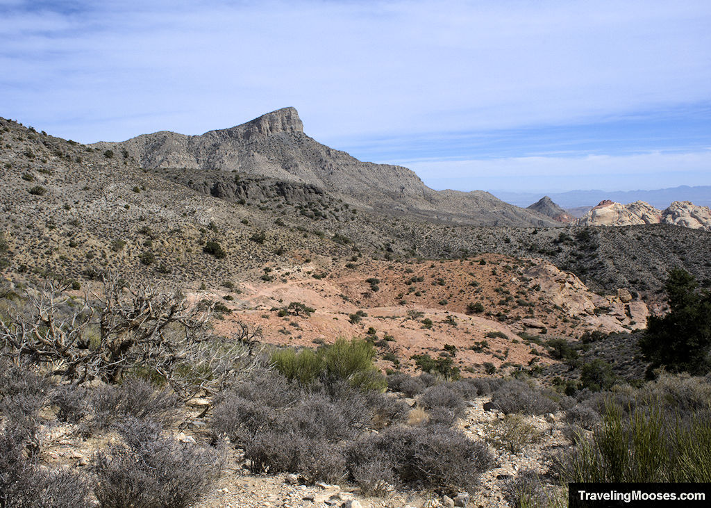
The trail begins to gently slope down at this point and we were met with views of the Calico Hills and Turtlehead Peak in the distance.
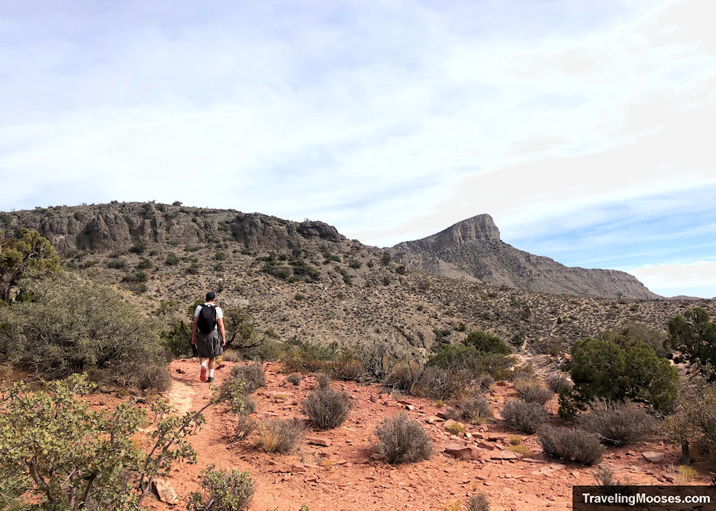
After another half mile or so, the official trail came to an end, but we saw another trail continuing to travel east. We decided to continue following this trail as it went up another hill.
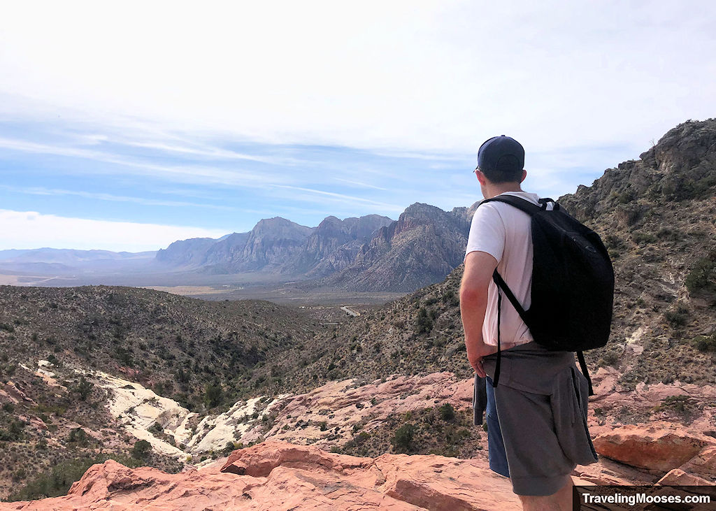
We’re glad we kept going as we enjoyed a great view of the entire Red Rock Canyon valley. It was a great stop for a photo op and a snack! We didn’t see anyone else come up this hill so we had it all to ourselves.
On the way back to the trailhead, we saw a few more hikers beginning to make their trek up the trail, but overall it was a low traffic day.
By the time we got back to the upper parking lot, there were a fair number of spots available to park. We finished our trek back down to our car in the lower parking lot in just over 2 hours for the round trip.
Should you visit the Keystone Thrust Trail?
Rating: 3.5

What we liked
- The views of Red Rock Canyon never disappoint and we were excited to see another vantage of the park.
- It was interesting to see the thrust fault up close.
- There were few people on the trail when we visited making it a pleasant low-crowd day.
What we didn’t like
- It wasn’t clear exactly where the trail ended and we ended up going much further than the prescribed 1.2 miles to the end of the trail. On a positive note, going about 0.5 miles past the official end of the trail led to some beautiful views of the Calico Hills.
- There’s zero shade on the trail, so be prepared if it’s a warm day.
Verdict: We enjoyed the short hike and would recommend it if you’re short on time and interested in seeing a geological wonder. We did like the nearby Turtlehead Peak and Calico Tanks hikes more than Keystone Thrust.
Know before you go
- If you’re visiting during high season (October 1st – May 31st) be sure to reserve your timed entry pass on the Recreation.Gov app, or enter the park prior to 8 a.m.
- Consider parking at the lower parking lot just off the scenic loop instead of driving up the unmaintained road. The road is pretty rough and the parking lot at the official trailhead gets busy.
- Bring extra water and sun protection as there is no shade on the trail.
- Dogs are allowed on the trail, if leashed.
- You don’t have to traverse the entire trail to see the Keystone Thrust Fault, it was viewable approximately halfway up.
- We enjoyed continuing approximately a half mile past the end of the trail to view the Red Rock Canyon valley including the Calico Hills and Turtlehead peak.
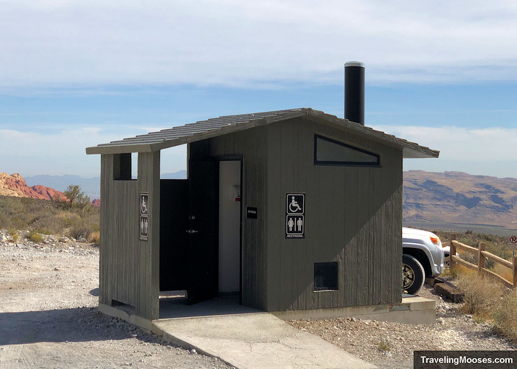
- There are restrooms at the trailhead at the upper White Rock Trailhead parking lot.
Frequently Asked Questions about the Keystone Thrust Trail
How difficult is the Keystone Thrust Trail?
The trail is rated as moderate due to the elevation gain (~567 feet) and rough terrain (loose rocks). The trail distance is a moderate 2.4 miles round trip. There are plenty of opportunities to go off the trail for light scrambling around the rock formations. Sturdy shoes are recommended for the hike.
Are drones allowed in Red Rock Canyon?
Yes, drones are allowed for recreational purposes only in Red Rock Canyon. They are not allowed in the nearby wilderness areas (La Madre Mountain and Rainbow Mountain). Take care not to disturb wildlife or other visitors during use.
Learn more about the boundaries of the wilderness area here. Also, be sure to check for updates on Red Rock Canyon Las Vegas website as for changes to the drone policy.
What are the road conditions like on White Rock Mountain Road?
White Rock Mountain Road is a 0.5-mile unmaintained road made of compact dirt and rocks (some sharp). The road is passable when dry by sedans and other vehicles. Red Rock Canyon is subject to flash floods in many areas. Use caution when the roads are wet.
Are there restrooms at the White Rock Trailhead?
Yes, restrooms are available at the Upper White Rock Trailhead parking area.
More Information for your trip to Red Rock Canyon
- Plan your visit: Top things to know about Red Rock Canyon near Las Vegas
- Choose a Hike: A list of every hike in Red Rock Canyon Area
- Best Canyon: Exploring Ice Box Canyon
- Best Views: Summiting Turtlehead Peak
- Fun Scramble: Kraft Mountain to upper gateway
- Quick Hike: Calico Tanks Trail
- Find the Guardian: Guardian Angel Pass Hike
- Overlooks:
You might also like:
- Nevada: 4 Hours in the Valley of Fire
- Nevada: What Vegas looks like in the snow

