Located within the scenic loop of Red Rock Canyon, you’ll find the Pine Creek Canyon Trail, a rewarding hidden gem.
Pine Creek Canyon Trail Hiking Info
| Trail Description | Out and back |
| Trail Location | Pine Creek Trailhead, Las Vegas, NV 89161 |
| Parking Lot | 36.128637593168435, -115.47381493318517 |
| Round Trip Mileage | ~3.4 Miles |
| Average Time | 2 – 3 hours |
| Difficulty | Moderate |
| Elevation Gain | ~525’ |
| Best time to visit | Fall, Winter, Spring |
| Entrance Fee | $20 per vehicle (pricing subject to change) or America the Beautiful Pass. Reservations are required (after 8 a.m. from October 1 – May 31). |
| Amenities at Trailhead | Parking, Restrooms, Trash Receptacles, Bike Racks |
| Current Closures | Red Rock Canyon |
| Rating | 4.5 Mooses |
Our experience in the Pine Creek Canyon area
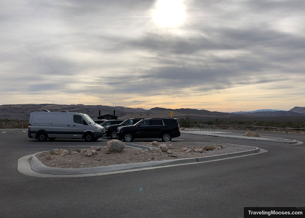
We arrived at the Pine Creek Canyon parking lot within the scenic loop (about 10.3 miles past the fee station) around 10:30 a.m.
The parking lot was about 30-40% full and we believe most of the folks were there for rock climbing rather than hiking. There are several popular climbing routes accessible from the trailhead including Mescalito Peak and the Rainbow Wall.
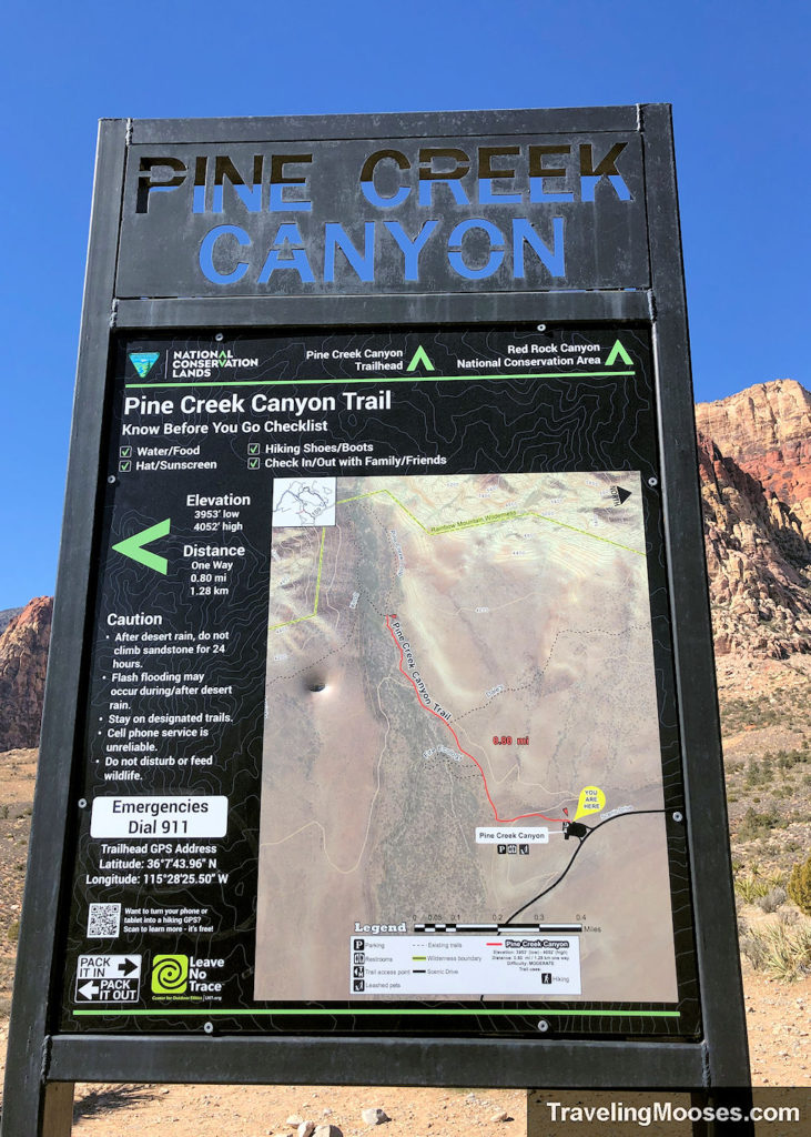
At the trailhead, you’ll find signs for both the Pine Creek Canyon trail and the Fire Ecology trail. You’ll pass by the Fire Ecology trail along the route if you decide it’s worth your time to check out.
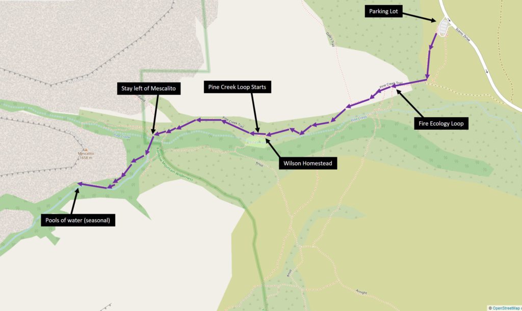
We knew we wanted to find the seasonal pools of water and potentially some cascading water along Pine Creek, so we set out to find them by combining several trails (see additional trail details below).
Pine Creek Canyon Trail (Approximately 0.8 miles one way)
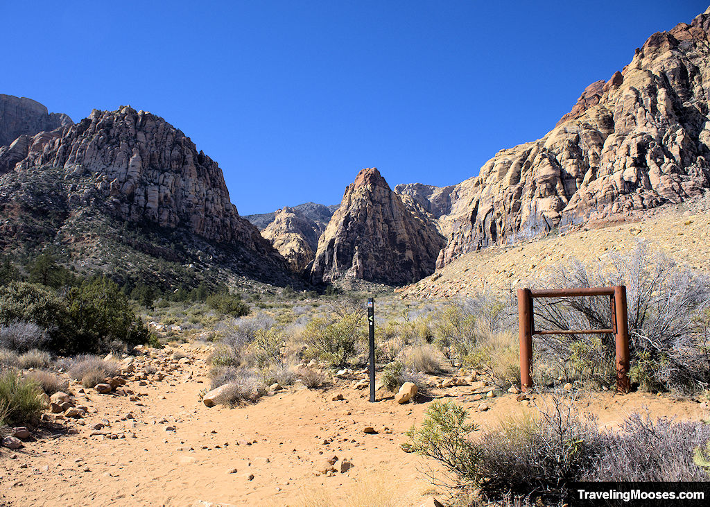
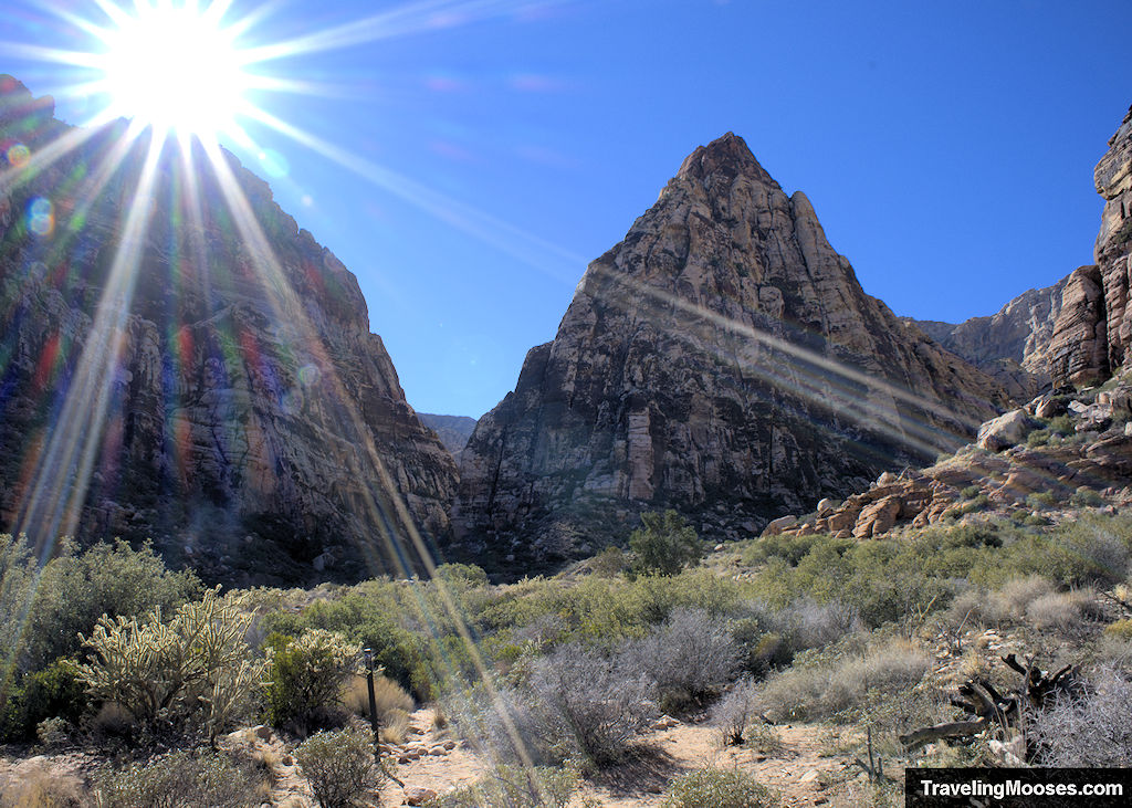
The trail starts immediately downhill and into the main valley area before slowly making its way directly towards Mescalito Peak. The towering (and very pointy) Mescalito Peak tops out at 5,440 feet in elevation and is climbable (up to Class 4+ difficulty). It was fun to look at, but we won’t be climbing it!
Not far down the trail, you’ll run into the turnoff for the Fire Ecology trail. We recommend skipping it, but if you want to check it out it’s a very short loop (0.40 miles). We instead continued straight towards Mescalito, and up to this point we considered the trail to be “easy” and well-marked.
After about 0.8 miles, you’ll reach a fork in the trail with right continuing on the Pine Creek Loop and left going to the Knoll trail.
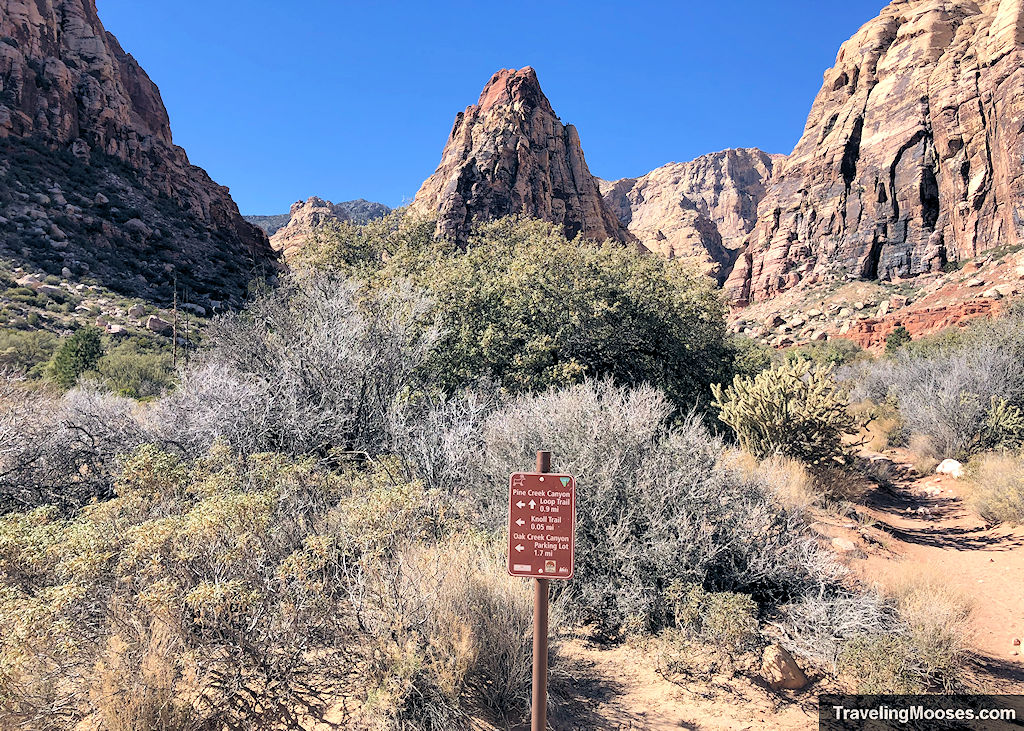
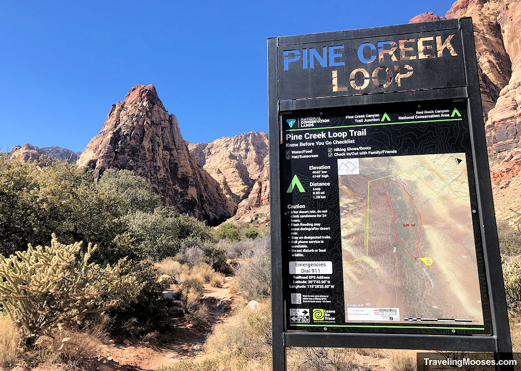
You’ll want to stay to the right and take the Pine Creek Loop trail, but before heading forward make sure you look to your left and make a quick stop at the Wilson Homestead.
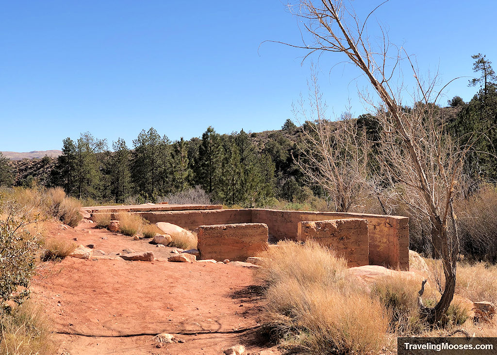
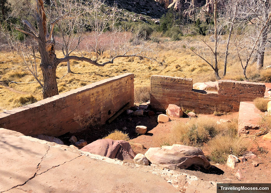
The Wilson Homestead was built sometime in the 1920s. It was settled by Horace Wilson and his wife, who was thought to have lived in the area for around 10 years before relocating to Las Vegas.
All that remains today is the foundation of the house.
Pine Creek Loop (approximately 0.4 miles)
The next leg of our journey continued on the Pine Creek Loop for about 0.4 miles or roughly half of the loop. This part of the trail was still well marked and easy to traverse.
You’ll get to see some cool rock formations in the distance and be getting closer to the canyons, but not much is different on this “loop trail.” In fact, if there wasn’t a sign saying it had a different name, you probably wouldn’t notice a change.
It kind of reminded me of when a street name changes for no good reason.
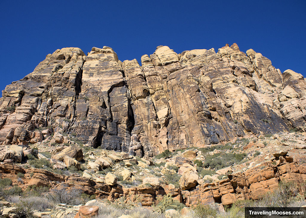
As you begin to approach Mescalito Peak, you’ll run into another fork in the trail. This is where things started to get confusing for us and why we appreciated having the Alltrails app for reference.
Pine Creek Spring (to the left of Mescalito Peak) approximately 0.5 miles to the falls
The trail ends up splitting with the right heading up Fern Canyon and towards the start of the summit to Mescalito Peak and the left goes up Pine Creek and to our ultimate destination.
Keep in mind, after you venture off the Pine Creek Loop, you will be entering the Rainbow Wilderness area. You can see the official boundary line here.
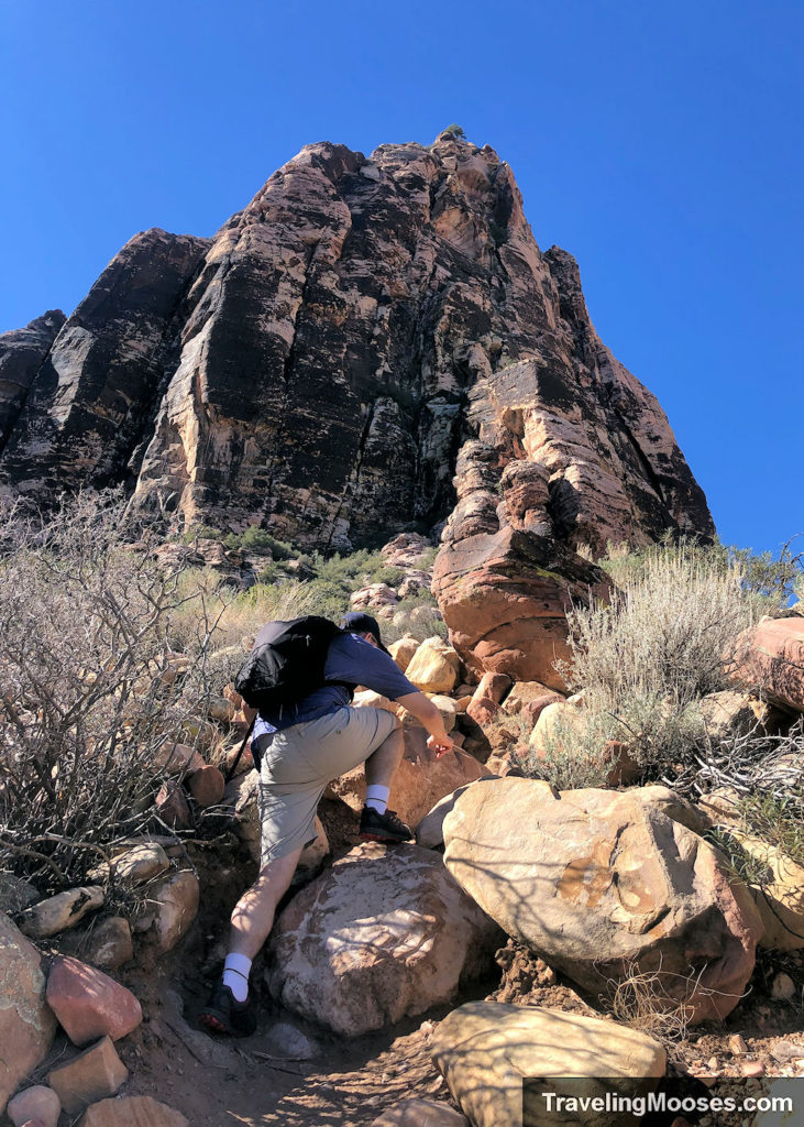
The very first part of this leg runs directly up the creek bed and then juts slightly right to run alongside the creek bed for the next quarter mile or so.
Of course, we missed the cairn for the turn off and continued scrambling up the dry creek bed. We realized something was amiss when consulting the app as we had a feeling we had gone off trail.
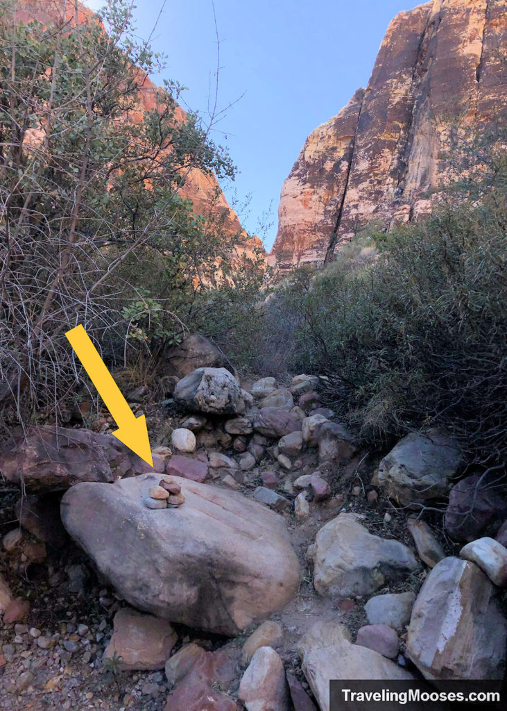
The good news is that the trail ultimately does end up back at the creek bed again, so if you were to just march straight up it, you would likely end up in the right place anyway.
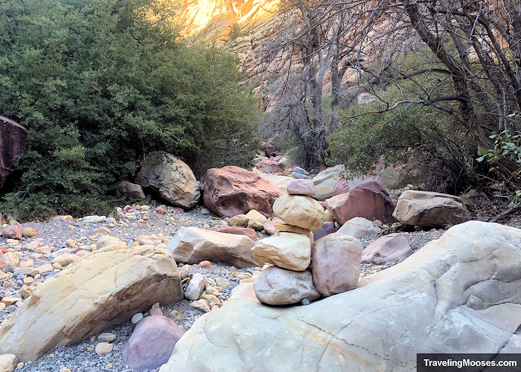
We believe the official trail (if you can call it that), runs parallel to the streambed, as you wouldn’t be able to walk up directly up it if any water is running.
Luckily, we didn’t need to worry about that on our trip. I could definitely see it being a problem during the wet season or if there was a flash flood.
The remainder of the trail running up the creek requires scrambling and route finding. The way we went up was not the exact route we came back down.
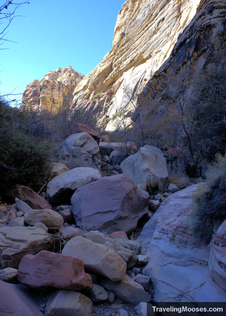
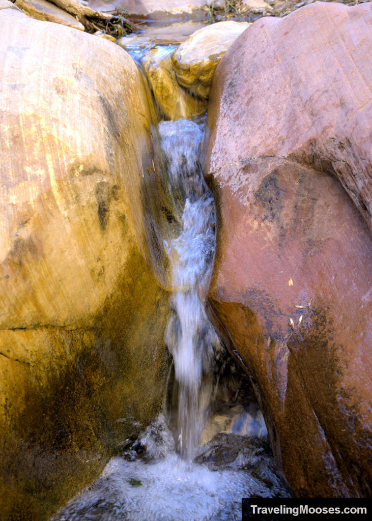
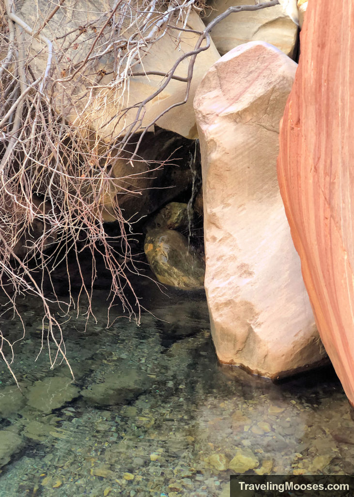
We continued up the creek for around 0.5 miles after the Pine Creek Loop ended and were rewarded with beautiful canyon walls, pools of water, and several mini “waterfalls”. More like a little water cascading in the stream bed, but it was fun to look at.
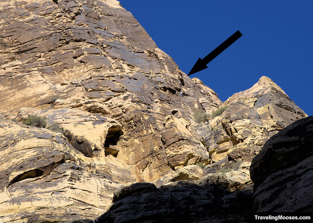
We also spotted several sets of climbers as we ventured through the canyon. They are hard to spot, but if you look closely you might see some.
It was quite peaceful (and cool) in the canyons and we had the area all to ourselves. We even remarked how similar this area looked to Ice Box Canyon and how we enjoyed this trail more.
Pine Creek Pools of Water
While there were only a few pools of water and mini-water cascades, it was a refreshing change to see water in the desert.
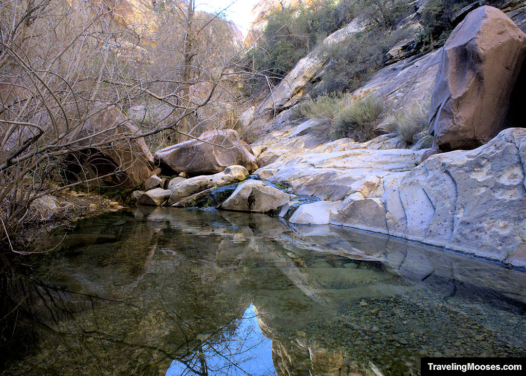
This would have been a great place to stop for lunch and relax, but we visited in the morning and weren’t hungry yet.
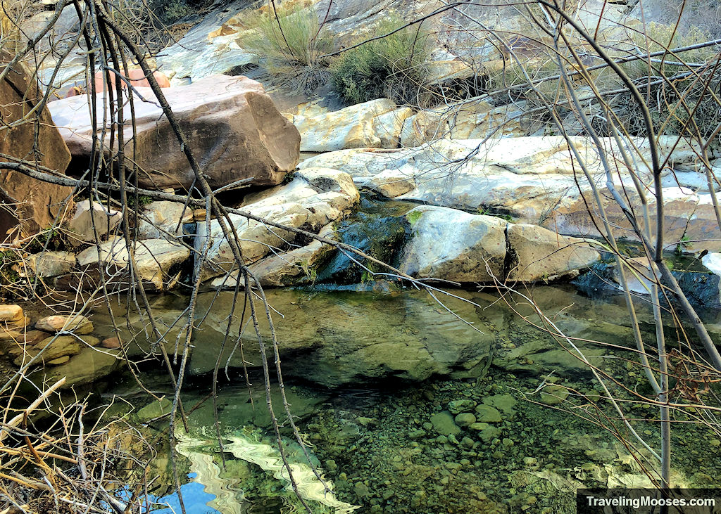
After exploring around the pools and enjoying the scenery, we retraced our steps back down the creek and up the Pine Creek Trail to the parking area.
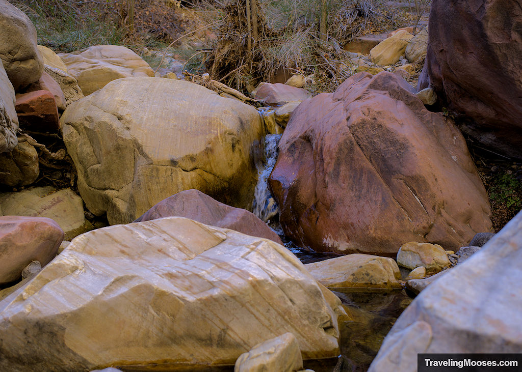
We definitely recommend keeping an eye on your navigation on the way back, as it was just as confusing on the return.
Should you visit the Pine Creek Canyon area?
Rating: 4.5 Mooses

We loved our hike up Pine Creek and would highly recommend it to others. We felt this trail was very similar to Ice Box Canyon, but without all the crowds.
What we liked:
- There was almost no one on the trail when we visited, despite many of the other trailheads in the park being full.
- We felt the trail surpasses the overall experience at the nearby and more popular Ice Box Canyon trail.
- The minor scrambling up Pine Creek at the end of the trail and through the towering canyon walls made the hike worth it.
- It was fun to see some cascading water in the Mojave Desert.
- We enjoyed watching several sets of climbers scaling up the nearby canyon walls.
What we didn’t like:
- The trail was a little hard to follow, especially when you reach the canyon section up Pine Creek. We’re glad we had the Alltrails app to help keep us on track.
- While seeing the mountains along the trail was nice, if we had turned around at the Pine Creek Loop and didn’t continue up the creek to the pools area, it would have been a disappointing hike.
- Not a huge deal, but the temperatures swung a lot between the open terrain and heading in the shadow of the canyons. Layers are recommended for your trip.
Practical Information for Pine Creek Canyon
Why does the mileage for Pine Creek Canyon vary so much?
The Pine Creek area can be a little confusing with the information we found online.
There are several trails in the area and if you’re looking to find the water pools like we were, you’ll end up on three different trails.
- Pine Creek Canyon Trail (0.8 miles each way)
- Pine Creek Canyon Loop (0.4 miles for half the loop)
- Follow Pine Creek Spring to the left for approximately 0.5 miles each way to reach the falls
This route is the same one on Alltrails called “Pine Canyon Trail” which is what we used to find our way. We use Alltrails for our all hiking now after we got lost on the Upper Gateway trail. If you plan on using it, we highly recommend buying the full version so you can download the maps. Cell service isn’t great in Red Rock Canyon (or on most hiking trails) and won’t work offline without the paid version.
Trail Difficulty
The Pine Creek Canyon trail is officially rated as “moderate” by Red Rock Canyon. Keep in mind the official Pine Creek Trail is only 1.6 miles round trip, and does not include part of the Pine Creek Loop, nor the extra distance up Pine Creek to the pools area.
If you continue onto the season water pools area, there is some scrambling which required me to use my hands in some places. I didn’t feel like there was any exposure or areas with severe drop-offs and enjoyed the climbing.
I would recommend using grippy shoes and choosing your path carefully as some areas looked more difficult than others, but we were able to find a fairly easy route.
Safety Considerations
This is a desert hike and with any hike, there are inherent dangers on the trail. Use caution and take appropriate steps to keep yourself safe.
The park recommends the following:
- After desert rain, do not climb sandstone for 24 hours.
- Flash flooding may occur during/after desert rain.
- Stay on designated trails.
- Cell phone service is unreliable.
- Do not disturb or feed wildlife.
- Bring food/water, hiking shoes/boots, hat/sunscreen, and check in/out with family or friends.
Here’s what we personally do to keep safe in the desert.
More Information for your Trip to Red Rock Canyon:
Red Rock Canyon (within the park on the scenic loop)
Calico Basin (entrance is currently free)
- Red Spring Boardwalk (Picnic area / photo spot, short walk and jumping off point for other hikes).
- Hiking:
Along NV-159 (outside the scenic loop)
