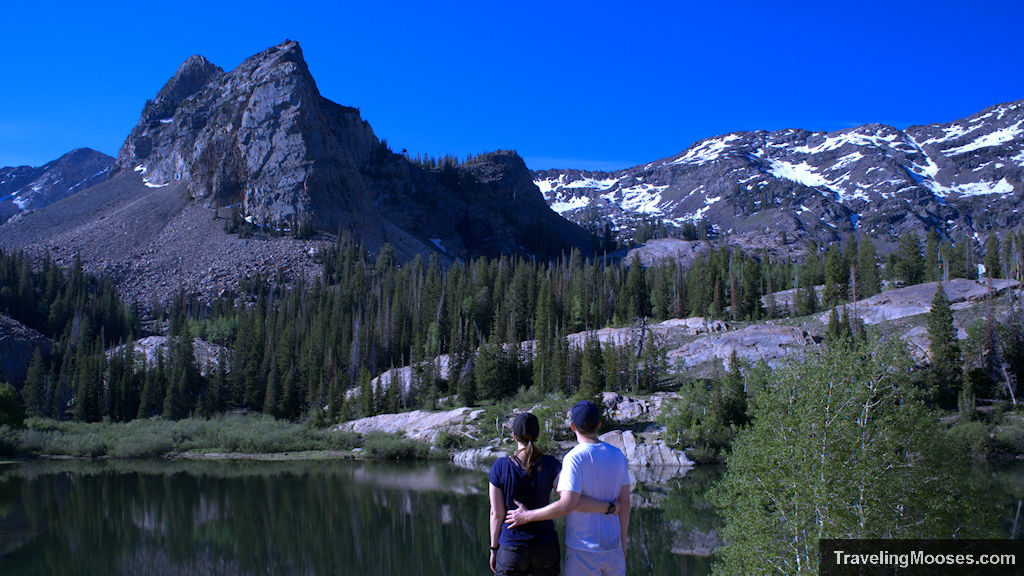
Lake Blanche is by far our favorite hike in the Salt Lake area. Coming in at around 7 miles round trip, hikers will be in awe of the beautiful mountains, lakes, streams and stunning landscape views.
Lake Blanche Hiking Stats
| Trail Description | Out and back |
| Trail Location | Lake Blanche Trailhead, Utah 84121 in the Big Cottonwood Canyon area |
| Parking Lot | 40.63360, -111.72333 (opens in google maps) |
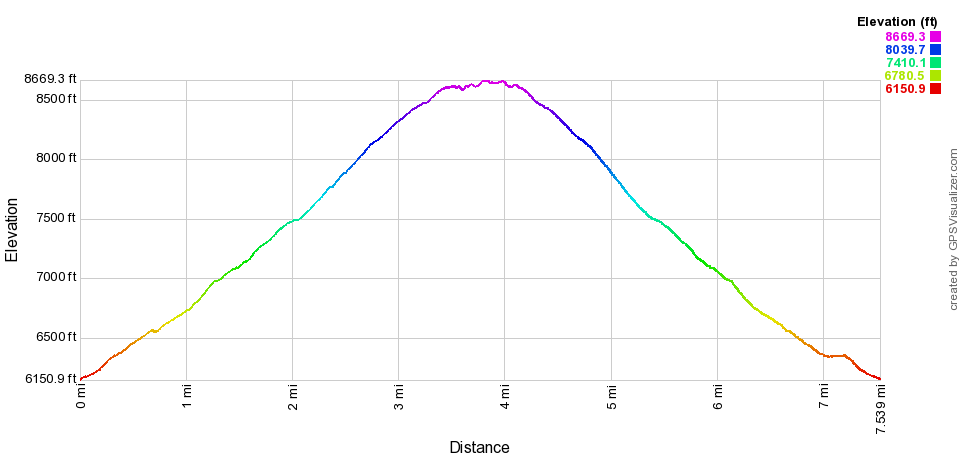
| Round Trip Mileage | 6.8 miles |
| Average Time | 3 – 5 hours |
| Difficulty | Strenuous |
| Elevation Gain | ~2,600 feet |
| Elevation Start | ~6,307 feet |
| Elevation End | ~8,920 feet |
| Best time to visit | Spring, Summer, Fall |
| Entrance Fee | Free |
| Rating | 5.0 Mooses |
Related: Check out the video of our experience!
What to exepct on the Lake Blanche trail (our experience)
Described as one of the most “breathtaking hikes in the Salt Lake City area,” we couldn’t wait to experience this trail for ourselves. Unfortunately, when we originally planned our Salt Lake adventure, we were expecting temperatures in the mid-80s. We happened to arrive mid-June when Salt Lake was experiencing an unprecedented heat wave. We chose our hiking day when the temperature would be at it’s lowest during our visit with a forecast of only 99 degrees vs the 104 on our previous days.
The high temperatures meant we had to get an early start to avoid the hottest part of the day. We agreed we’d hit the trail by 6:30 AM and be back down to the car before noon. With an estimated hiking time up of around 2 hours we figured it would be an enjoyable experience despite the heat.
We snagged a parking spot in the lot around 6:25AM and were hiking up the Mill B South Trail by 6:31AM. Right on schedule.
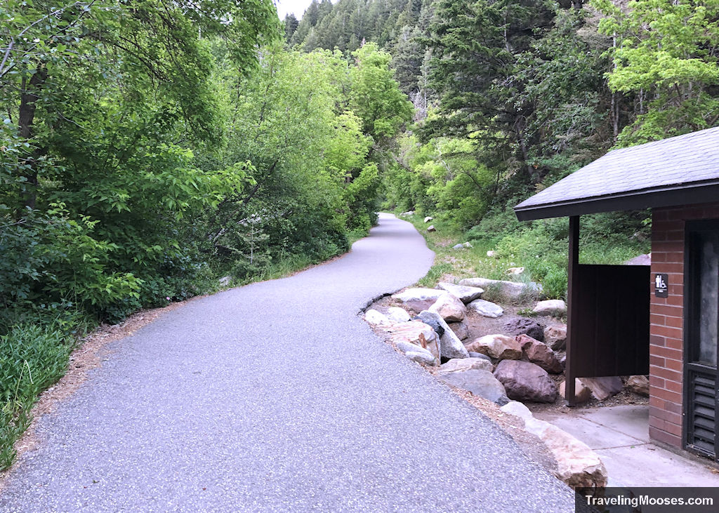
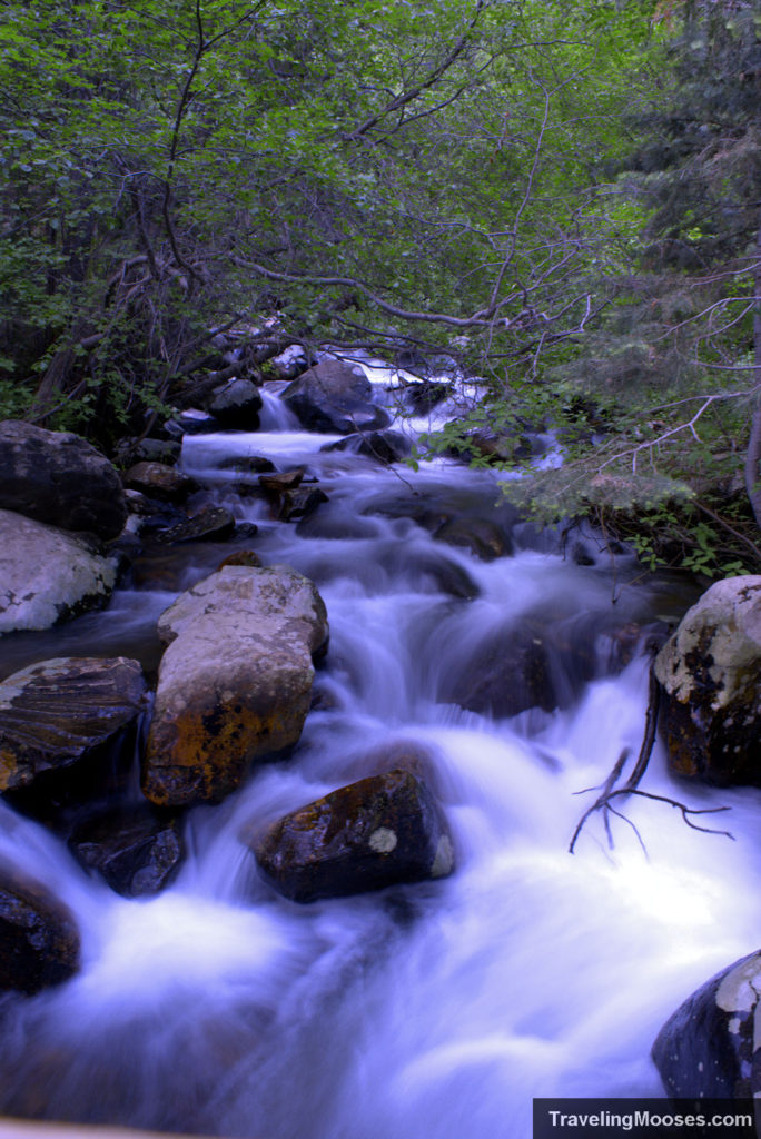
The Mill B South trail starts off on a wide paved path with a roaring stream off to the left.
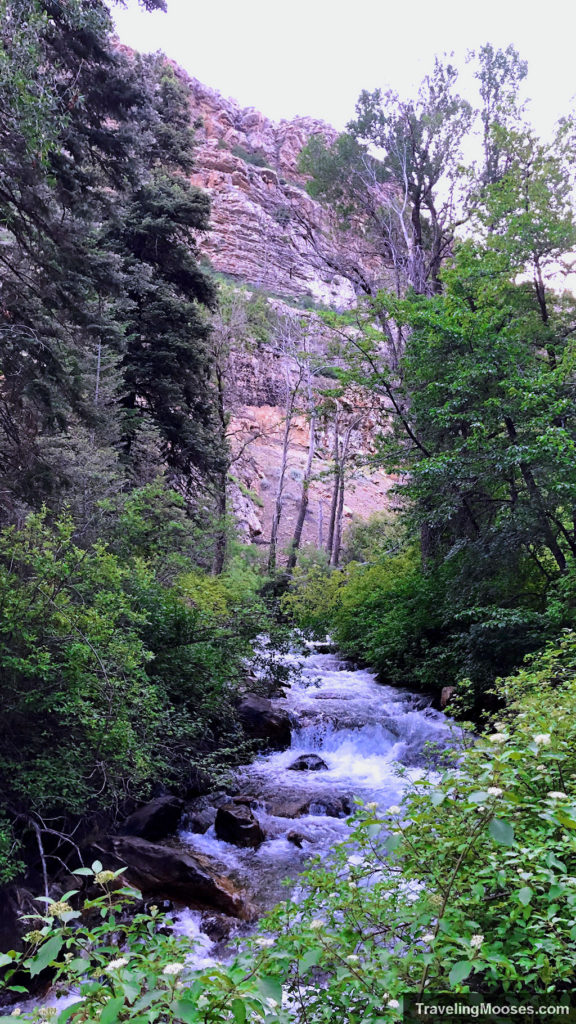
After a short distance, the official Lake Blanche Trail starts at a right fork off the Mill B trail. It may be tempting to stay on the lovely paved path, but the steep rocky path to the right is where the real fun begins.
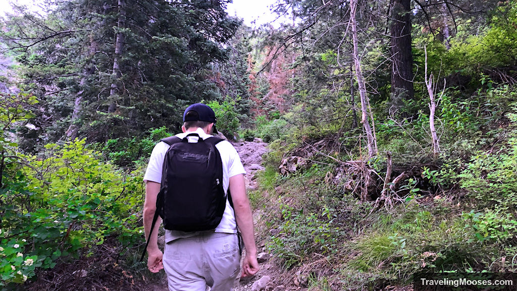
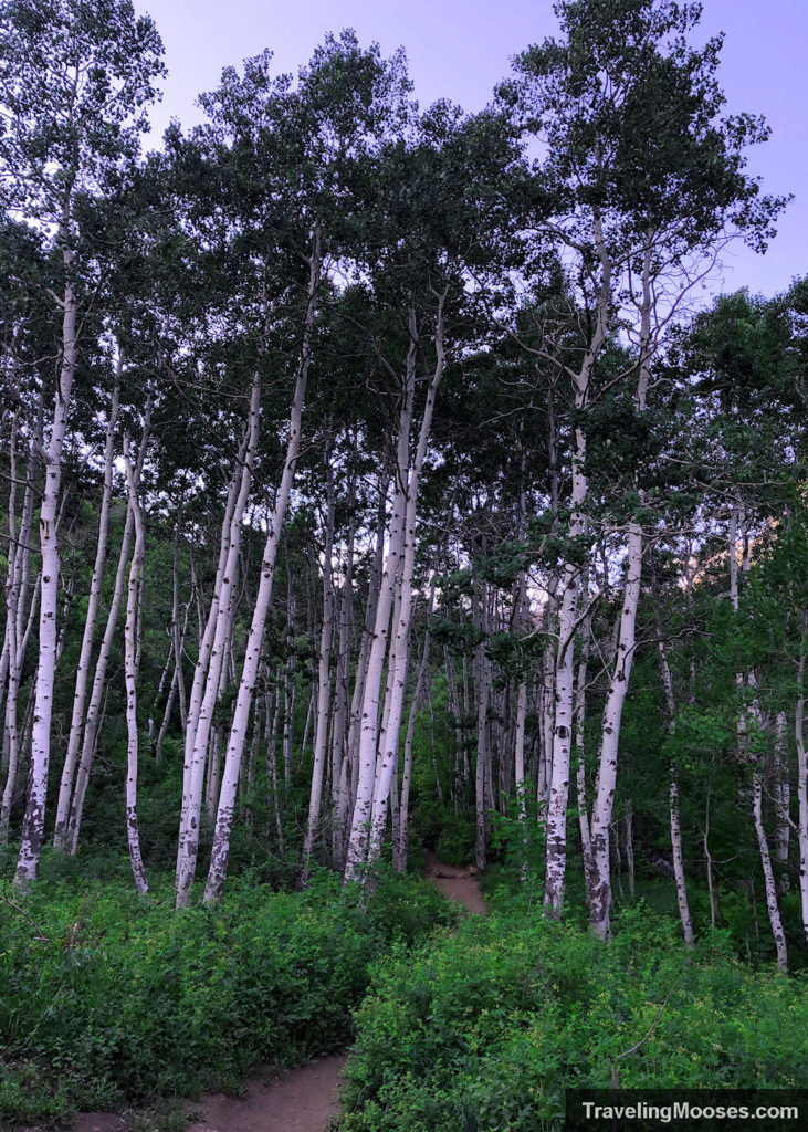
The trail rises steadily uphill for the entire hike to the lake. The first 30% or so of the trail continues to follow the aforementioned stream (at least in June) as you meander through a variety of forests and meadows.
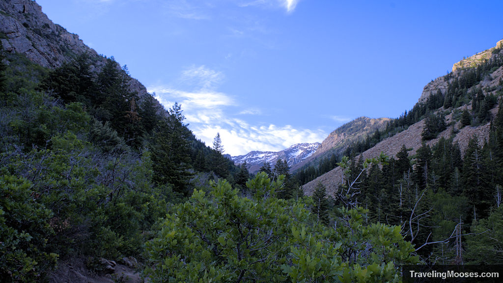
Spectacular mountain views begin almost immediately and can be seen in front of you and behind as you traverse the trail.
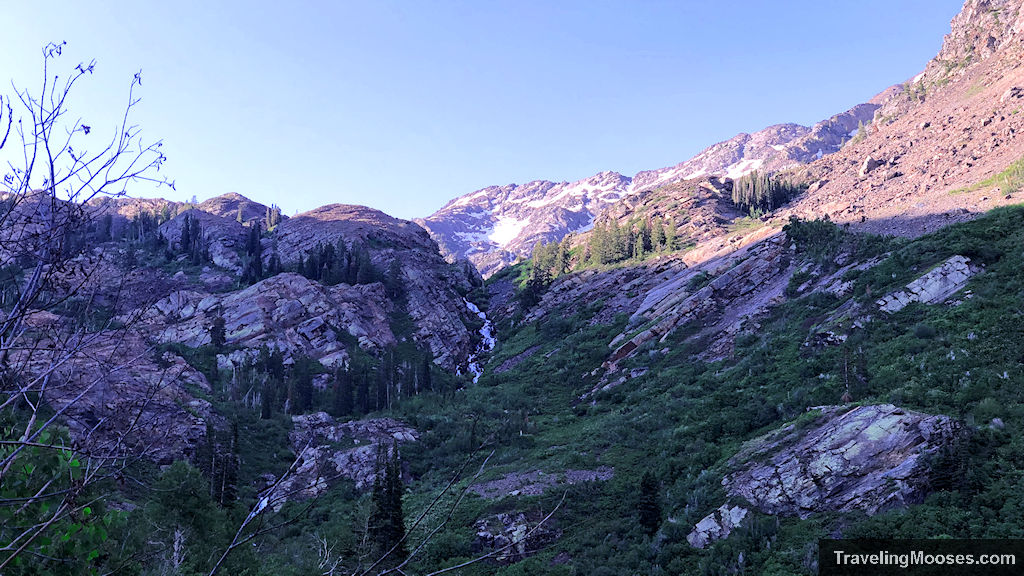
We were pleasantly surprised and excited to see a lovely waterfall cascading down the hills ahead of us maybe half way to the lake.
Because we started so early on the trail, there were only a few others on the way up. Shade was abundant and the mosquitos were still too tired to bug us.
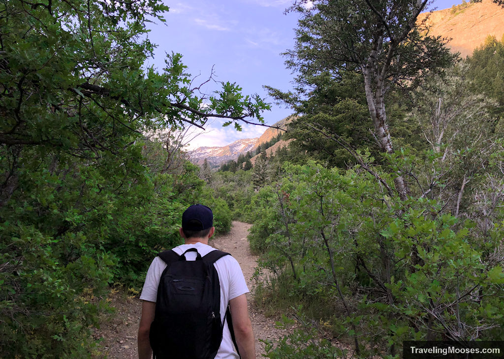
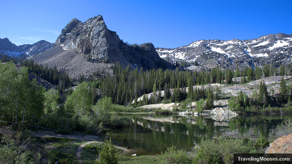
Even with adequate time to stop for the multiple picture breaks, we made it to Lake Blanche in about 2 hours and 15 minutes. There were two others that were enjoying the lake when we arrived, but they quickly left and we found ourselves alone to enjoy the serene landscape.
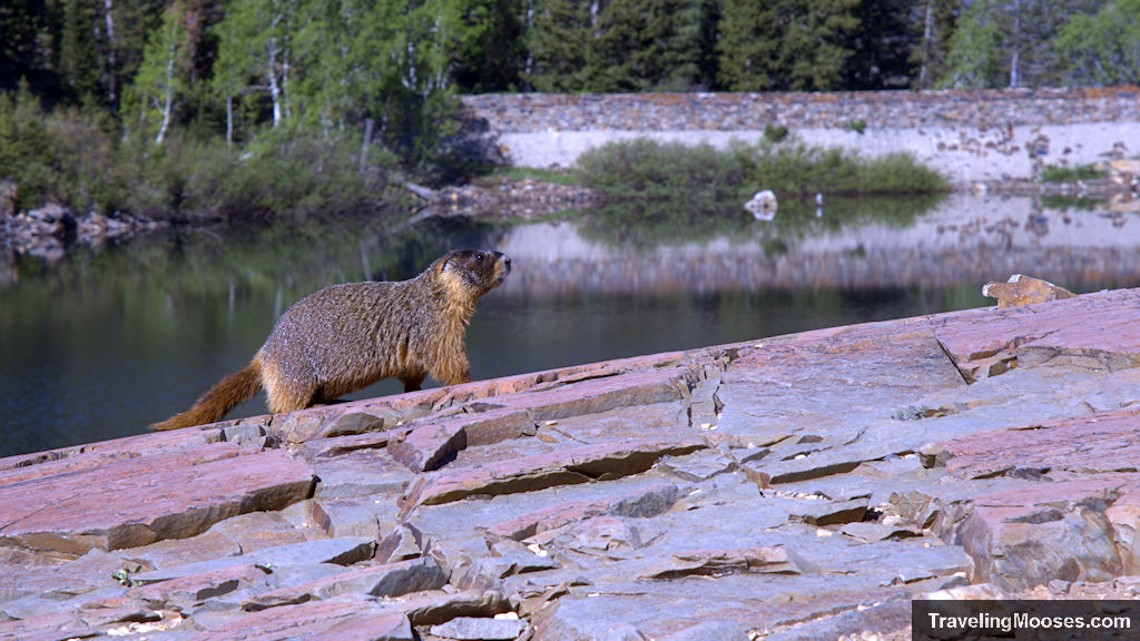
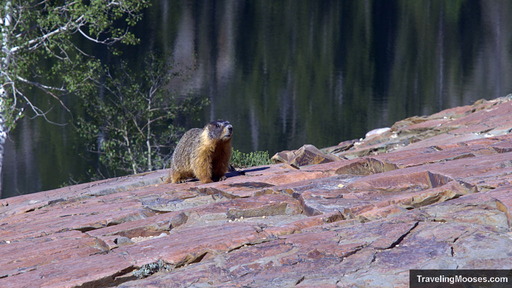
The quiet quickly paid off as a large marmot crested the hill in front of us and seemed to pose as I happily snapped away. Sadly, we didn’t see any moose that frequently frolic in the area, but keep your eyes out for them when you’re at the top. If you are lucky and look closely, we were also told you could potentially see goats in the rocky terrain rising behind the lake.
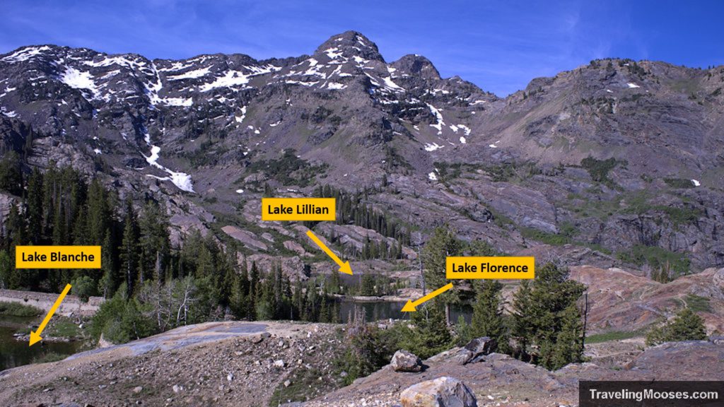
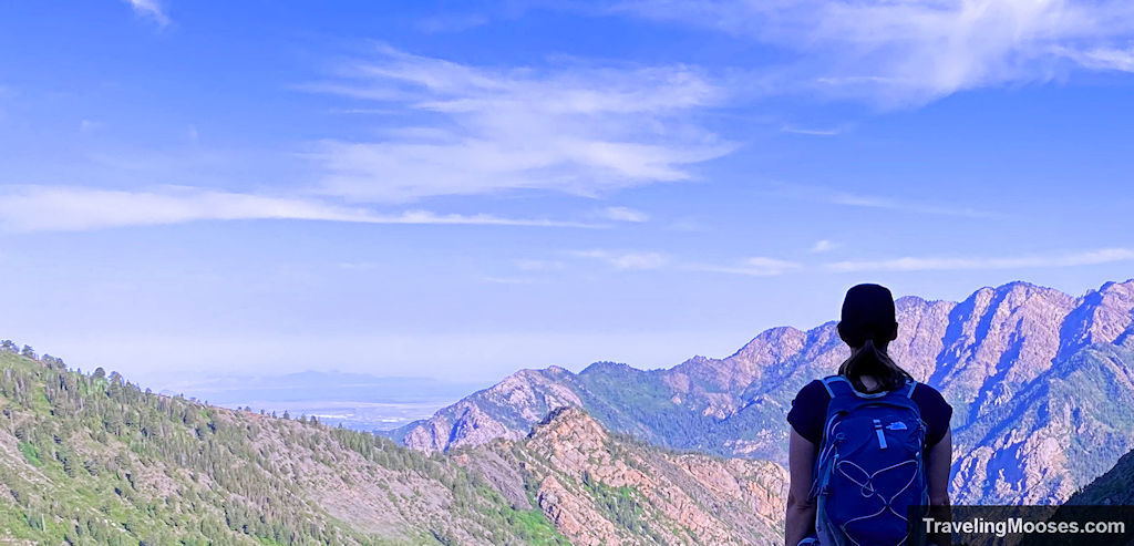
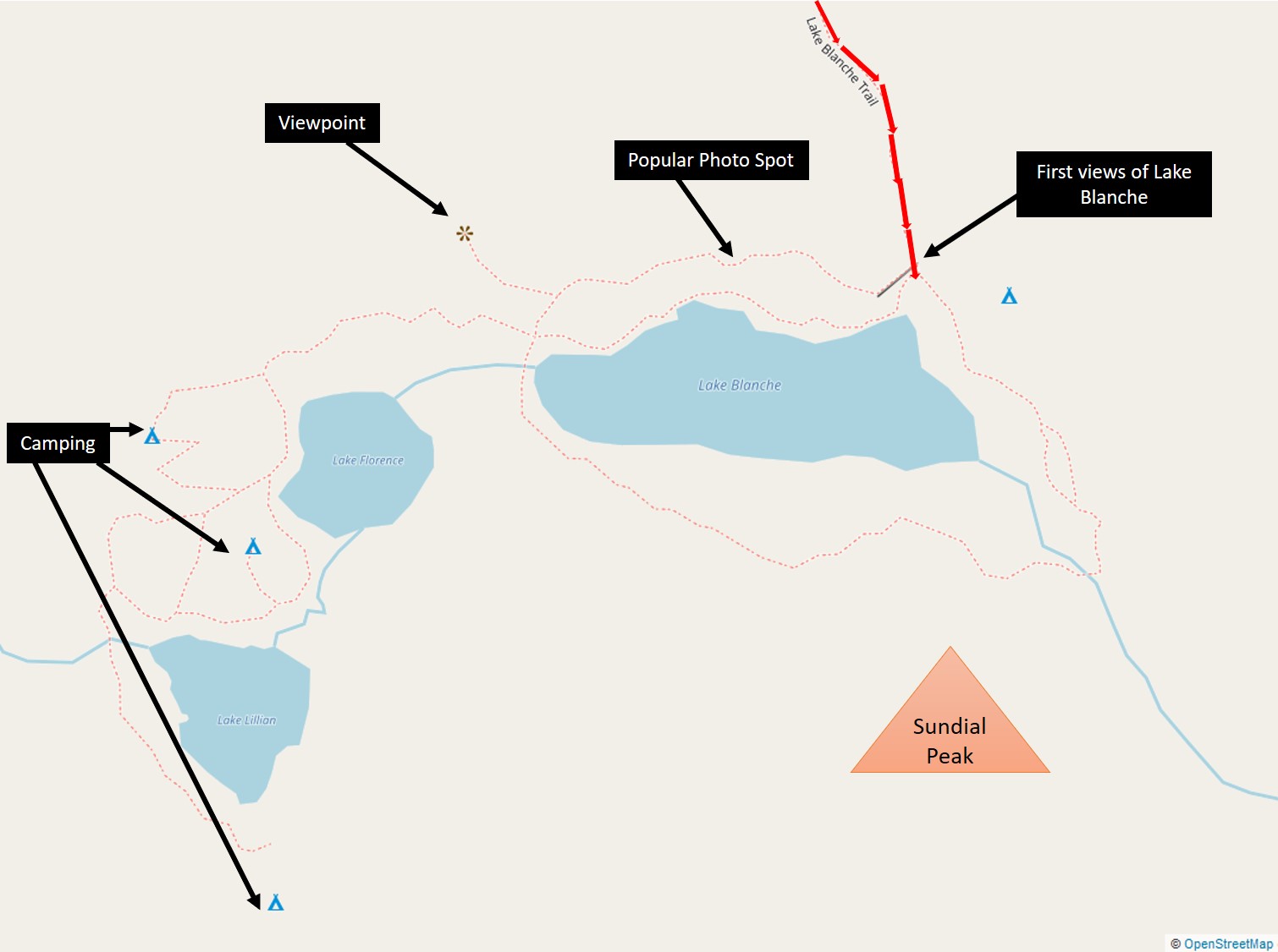
After we took in the views, we decided to continue farther around Lake Blanche to check out the nearby Lake Lillian and Lake Florence. There are some great camping spots around the lake (we saw a few campsites with gear but no people) along with a great view to the NW of the valley and Salt Lake City in the distance. Be sure to check that out!
By this point it was starting to get pretty warm and we decided it was time to head back. Plus, there was now a steady stream of visitors reaching the lake area. We started our descent down, pausing only to move for other hikers on the trail. One other notable change was that where the trail was fully shaded on our climb up, it was now mostly drenched in sunshine. We watched as red faced, sweaty hikers trapsed up the hill and we were silently thankful we got a very early start.
Our journey down was just as scenic as the way up and we made good time headed back to the car. We finished the hike around 11:50AM, just under our noon cutoff for a total time on the trail of 5 hours and 20 minutes.
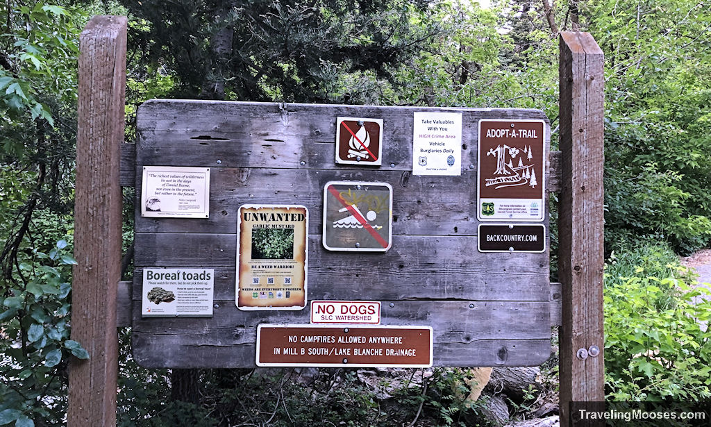
Despite the warning signs about potential car break-ins at the trailhead, we didn’t have any issues. It was a great hike and one we’d love to do again in the future.
Is hiking the Lake Blanche Trail worth it?
Rating: 5.0 Mooses

- What we liked
- The views were better than we ever dreamed. We enjoyed mountains, streams, waterfalls and wildflowers throughout the day.
- The trail was well-marked and our journey up to the Lake was mostly in the shade.
- Wildlife ranging from birds to marmots to jumping fish.
- What we didn’t like
- Bugs! As soon as the temperatures started to rise the bugs came out in force. As much of the trail is in foliage that is ripe for bugs, it’s nearly impossible to get away from them. This hike is a must to have bug spray!
- Crowds. For a weekday hike, there was a surprising number of hikers on the trail starting around 10AM. When we arrived back in the parking lot, it was completely full and overflow had started on the street. Don’t expect solitude on this hike.
Verdict: This hike is worth the effort! We’d love to hike this trail again in the future.
Know before you go
- This trail is popular for a reason. If you’re going to visit on a weekend, get to the trailhead early to secure a spot.
- Adequate water is recommended for this hike, especially if you get a late start. The way up was mostly in shade for us, but on the way back down around 10AM the trail was mostly exposed in sunshine.
- Bring bug spray if you will be traveling during the summer months.
- Dogs aren’t allowed on the trail (even if on a leash).
- We didn’t find the elevation gain to be too difficult, but many find it to be a demanding climb.
- Swimming isn’t permitted in the Lakes as the trail is a protected watershed.
- Moose are seen frequently on this trail as well as marmots.
Frequently asked questions about Lake Blanche Trail
What is the Lake Blanche trail like?
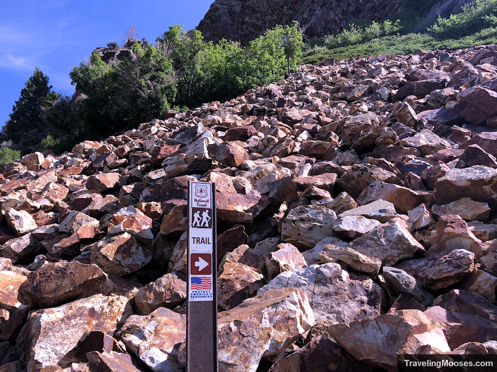
The trail is well marked and we found it easy to navigate both on the way up and the way back.
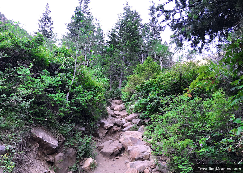
The trail can be rocky in some places, but we felt it was manageable. It is a fairly steady uphill climb the entire way to the lakes.
Is a pass needed to park at the Lake Blanche Trailhead?
No. As of June 2021, there was no fee or pass required to park at the trailhead.
What is the parking like at the Lake Blanche Trailhead?
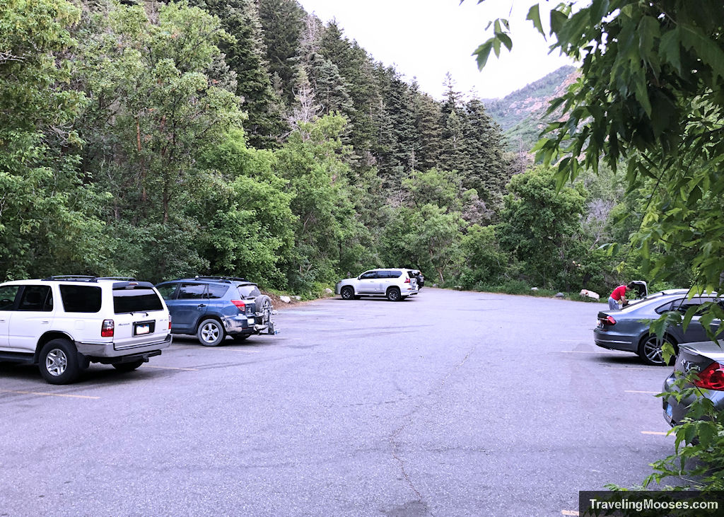
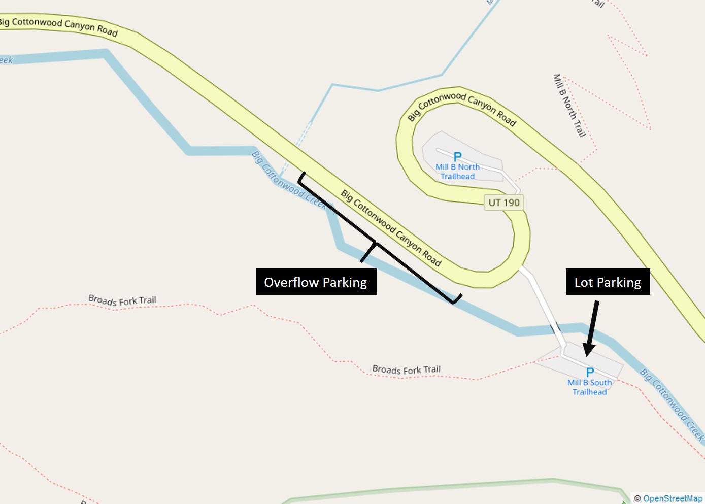
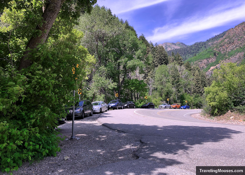
There is a small lot (approx. 20 cars) at the Mill B South lot off of Big Cottonwood Canyon Road. The parking lot fills up early on weekends and can be quite busy on weekdays as well. Overflow parking is available on Big Cottonwood Canyon Road; however, this would be a challenge in the winter months due to snow. Be sure to leave all valuables at home or hide them well in your vehicle as car break-ins are rampart at the trailhead. A nearby sign warns of “daily” break-ins.
Where can I find a map of the Lake Blanche Trail?
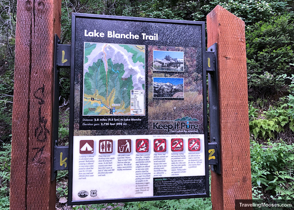
There is a trail map available at the beginning of the Lake Blanche trail.
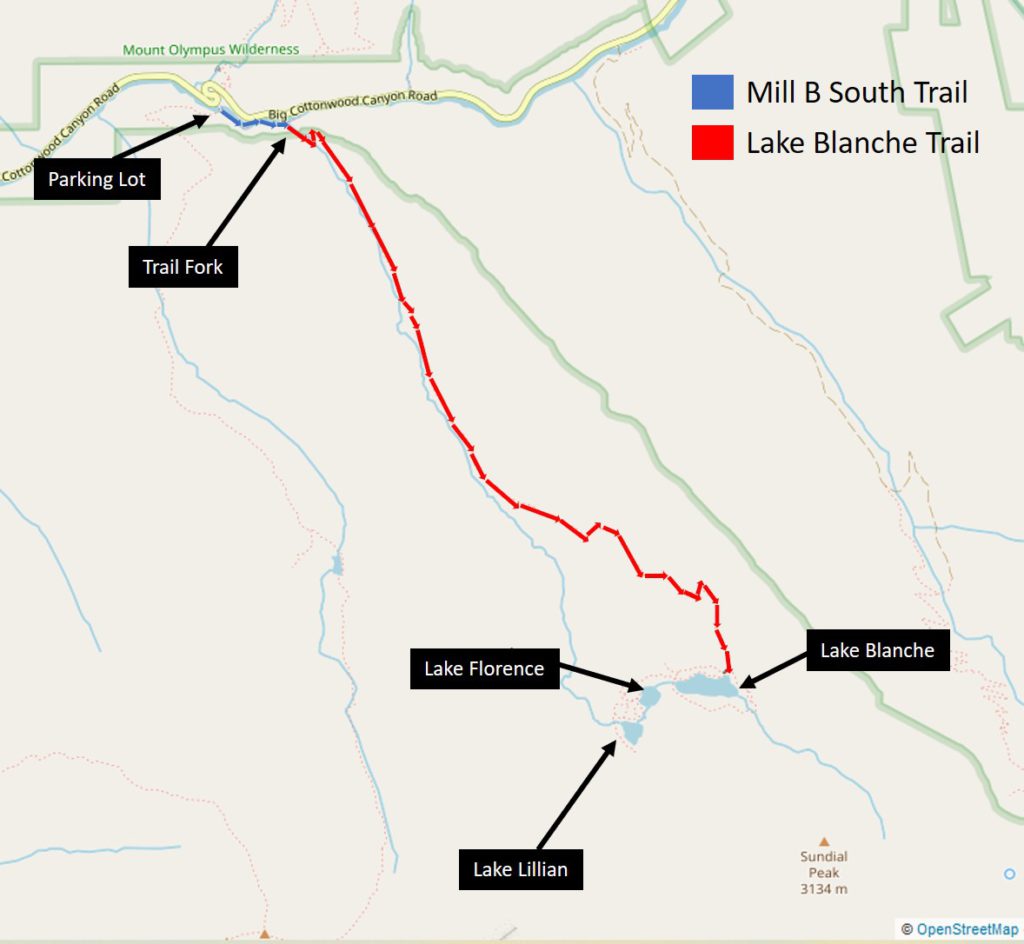
We’ve also included a detailed map of our route and also the lakes at the summit of the trail.
Can you swim in Lake Blanche, Lake Lillian or Lake Florence?
No, swimming is not allowed in the lakes as the area is a protected watershed.
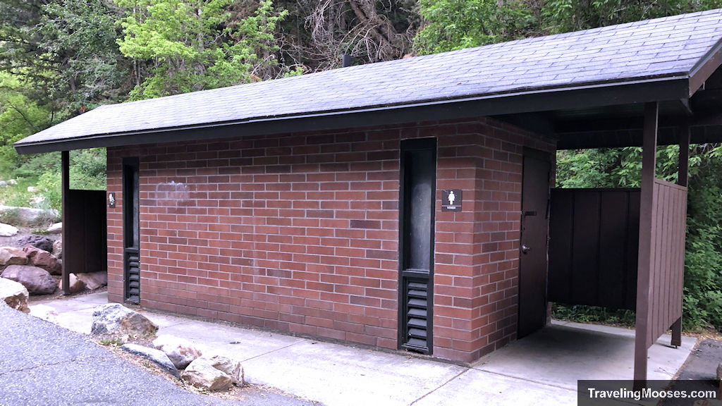
Are there any restrooms at the Mill B South / Lake Blanche trailhead?
Yes, there are restrooms at the trailhead.
More information for your trip to Salt Lake City:
- I-15: Discover the secret Kolob Canyon Area
- Best view: Soar above the city at Ensign Peak
- Nearby: Spend a day like an Olympian at Utah’s Olympic Park
You might also like:
- Nevada: A nature lovers guide to Vegas – what not to miss
- California: Experience the beauty of California

