Notice: Mt. Charleston recently experienced substantial storm damage from Hurricane Hillary. Be sure to check for updated information about closures here.
Lee Canyon Narrows is located near Mount Charleston just 45 minutes outside of Las Vegas. This hike can be reached from the Blue Tree loop trail starting at the Sawmill trailhead. While the official Blue Tree loop is almost 8 miles long, you can reach Lee Canyon Narrows in around one mile.
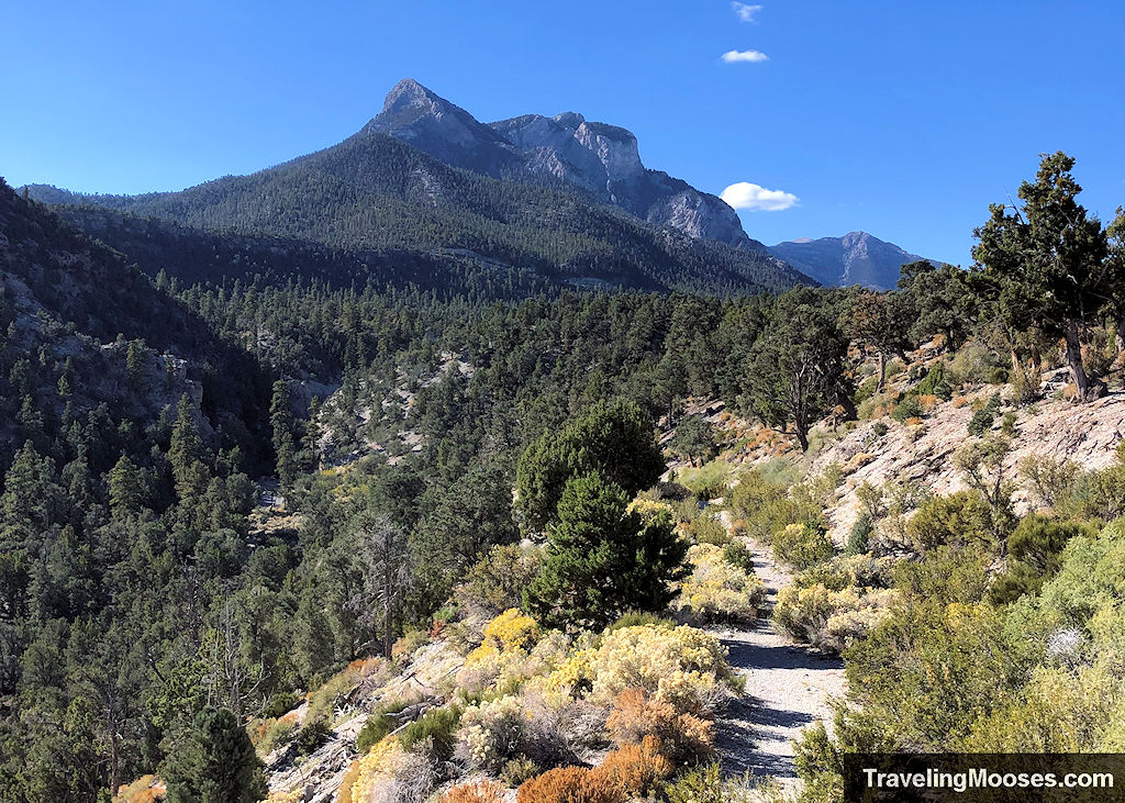
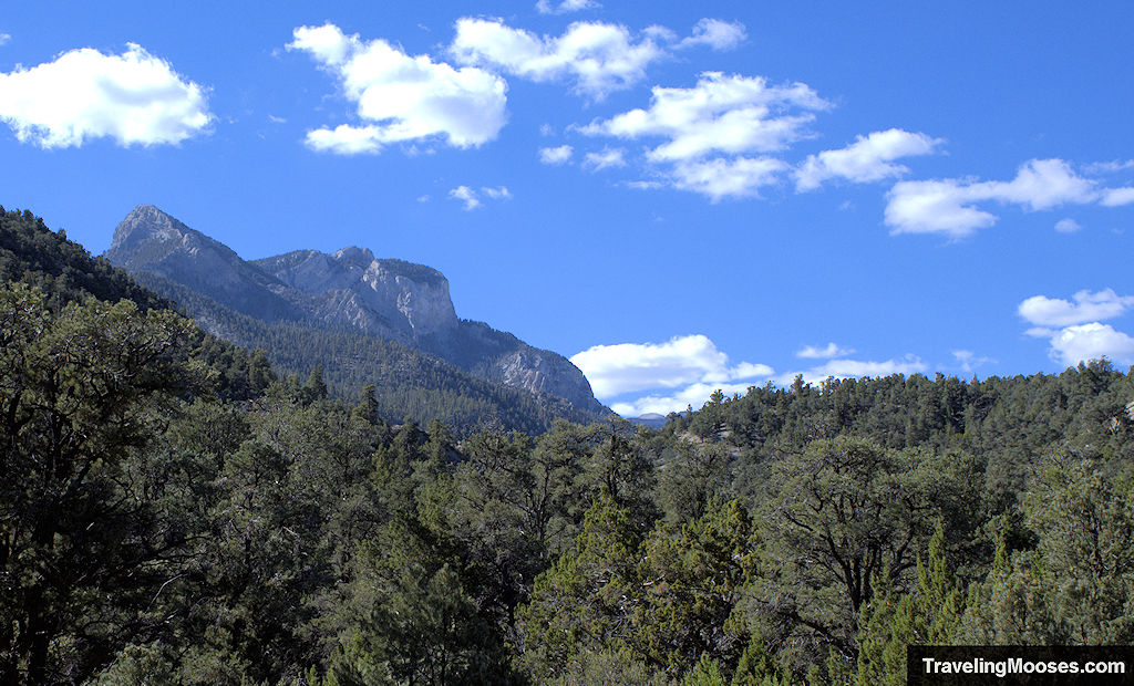
Hikers will enjoy views of Mummy Mountain, seasonal wildflowers, and historic remnants of old vehicles on this journey.
In this guide:
- Lee Canyon Narrows (via Blue Tree) hiking stats
- What to expect on the trail
- Is the trail worth it?
- Practical Information for your hike
- Current trail conditions
- What to bring
- Parking
- Entrance fees
- How to get to the trailhead
- Trail maps
- Trailhead amenities
- Trail rules
Blue Tree Trail to Lee Canyon Narrows Hiking Stats
| Trail Description | Out and back |
| Trail start | Blue Tree Trail (aka “blue” trail) |
| Parking Lot | Sawmill trailhead, Sawmill Dayuse Loop A Rd, Las Vegas, NV 89166 |
| Round Trip Mileage | ~2.0 miles to Lee Canyon Narrows |
| Average Time | ~1-2 Hour |
| Difficulty | Moderate |
| Elevation Gain | ~300 feet |
| Best time to visit | Spring through Fall (check for snowy conditions) |
| Amenities at the Trailhead | Parking, trail map / information board, primitive bathrooms, trash receptacles, picnic benches |
| Entrance Fee | None |
| Rating | 2.5 Mooses |
What to expect on the trail (our experience)
After hiking the short Sawmill loop trail, we decided to try and find Lee Canyon Narrows (via the Blue Tree loop trail).
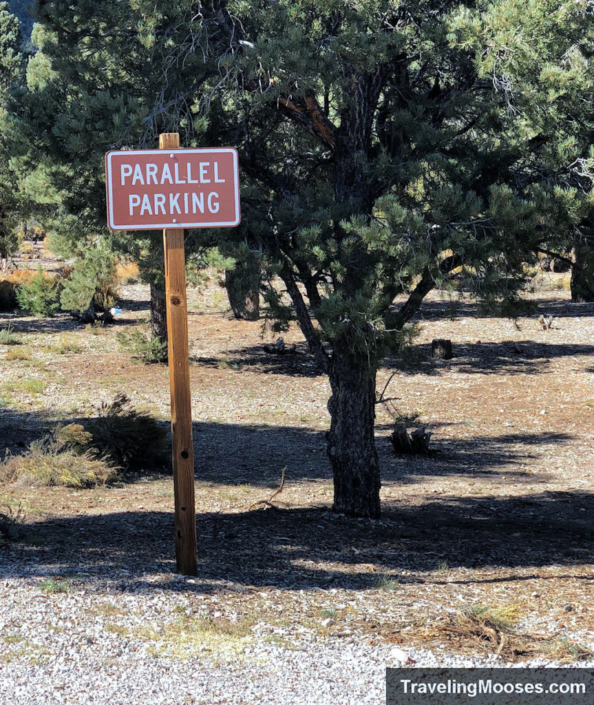
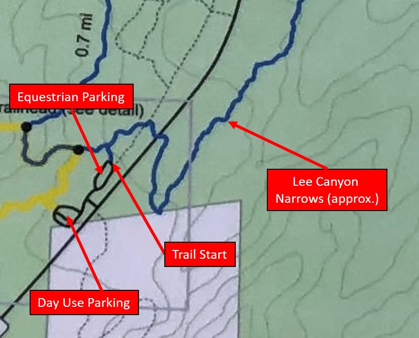
You can either park in the day use area of the Sawmill trailhead (which is what we did), or parallel park in the equestrian use area (if it’s not busy).
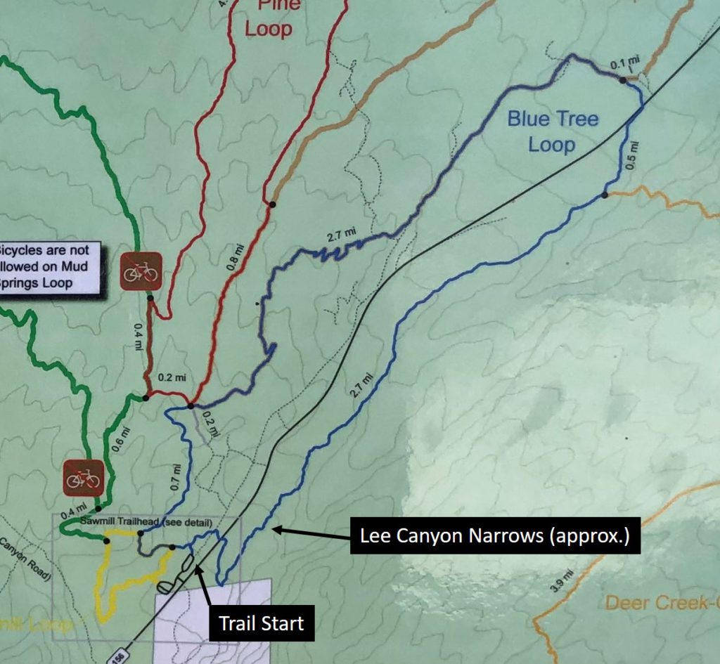
The official start of the Blue Tree loop trail is located near the equestrian side of the parking area, or you can use the Sawmill loop trail (aka yellow trail) to intersect with the Blue Tree loop trail.
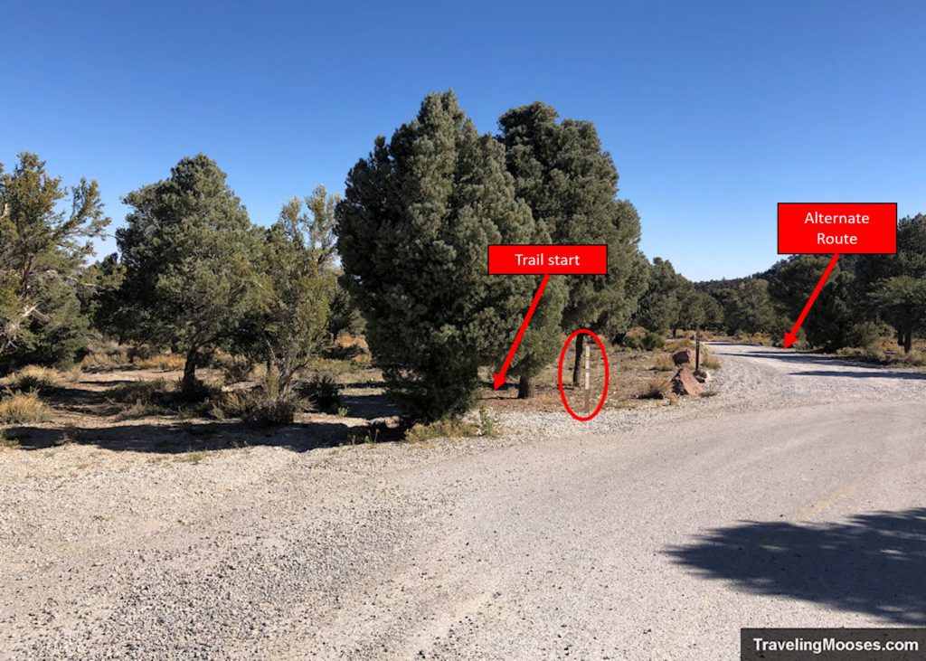
When you reach the equestrian area, take the official (yellow/blue) trail or the shortcut on Cardamine Road to begin your journey.
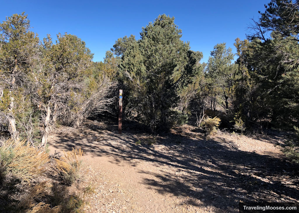
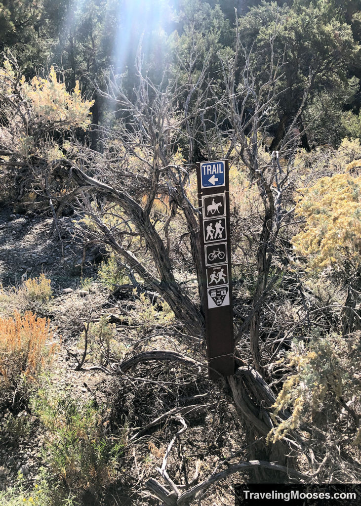
Regardless of which route you take, you should periodically see blue trail markers which will indicate you are on the right path.
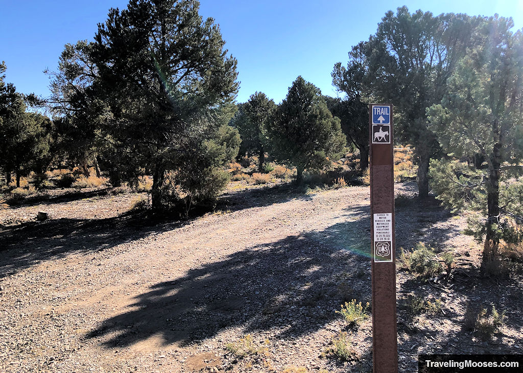
The trail winds for a short distance to NV-156 (the highway you came in on), where you must cross the street to continue on the loop.
Use caution when crossing as there isn’t a crosswalk and the cars drive fast!
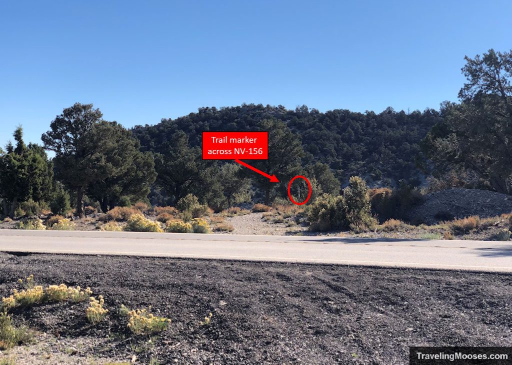
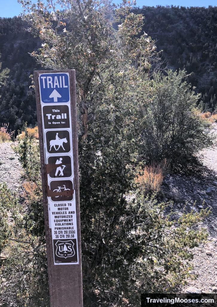
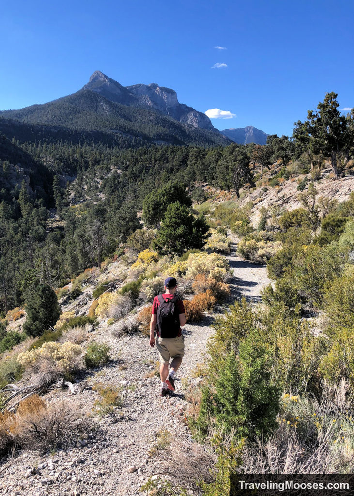
After crossing the road, you’ll approach the valley before beginning the descent to the wash at the bottom.
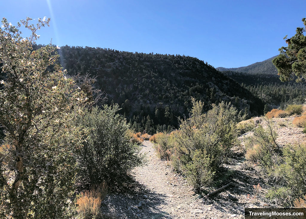
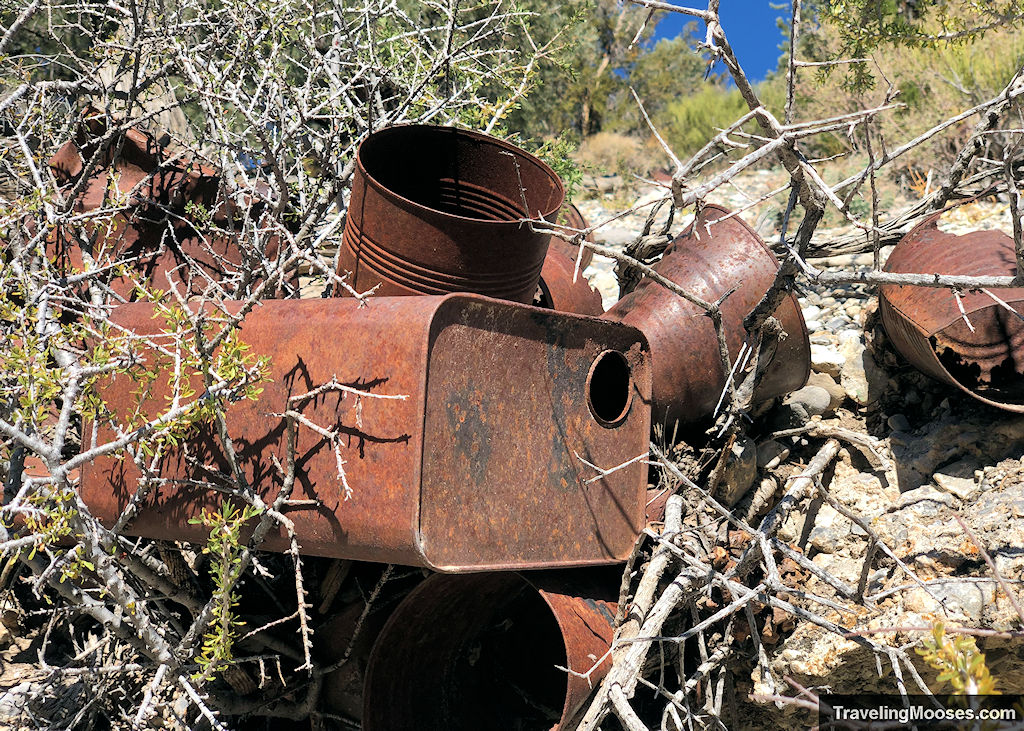
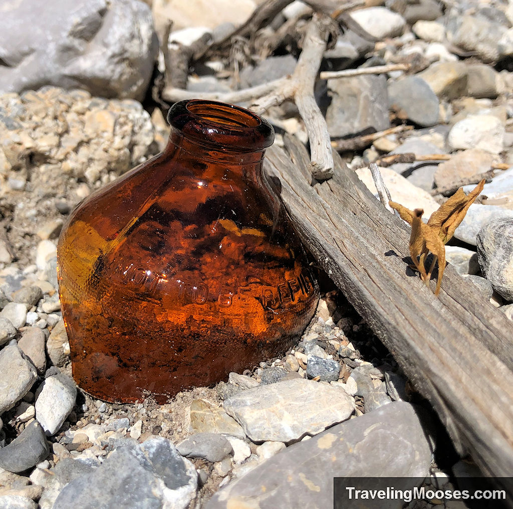
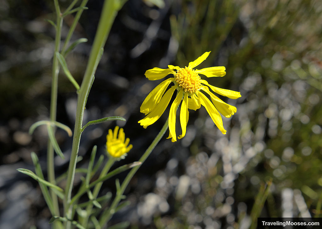
The trail will descend gently to the valley and along the way you’ll be met with seasonal wildflowers and an odd assortment of old rusty cans.
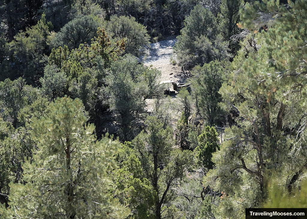
You may also catch a glimpse of one of the old cars from around half-way down the ridgeline.
We have no idea why there was a large number of rusty cans along the trail, nor how they arrived there. We were unable to find any details online about the history of the area.

Once you reach the bottom of the valley, the trail heads east (left) and parallel to a large wash.
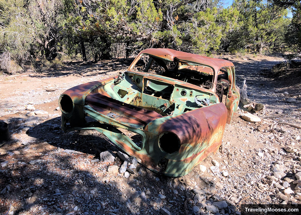
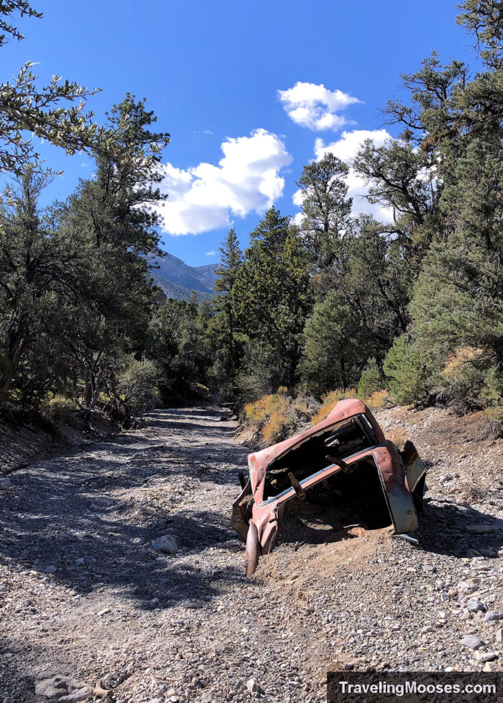
In this area, you’ll come across two old cars (likely from the 1940s). One is right on the trail and the other is in the middle of the wash.
Both of the vehicles appeared to have been stripped of any valuables, and at some point, had been used for target practice.
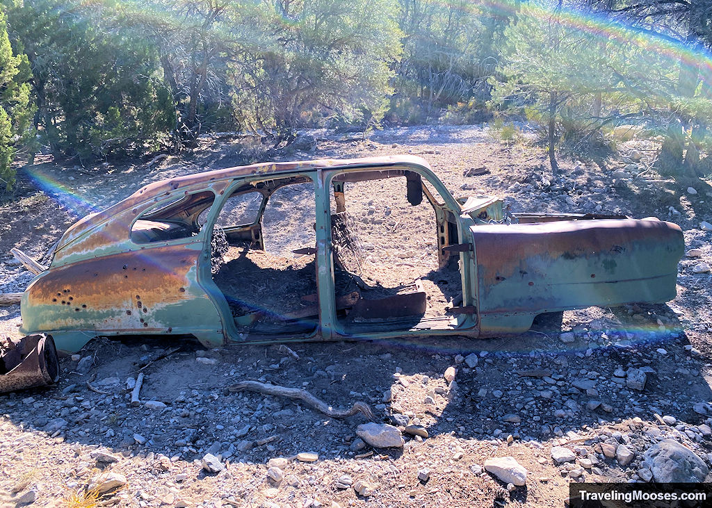
Despite our best efforts, we couldn’t determine any history of how those vehicles came to be located so far from any roads, but we believe it was the work of a flash flood upstream.
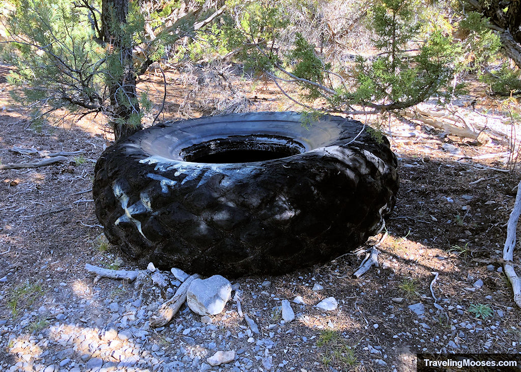
We also found a large tire along the trail (the size of a monster truck tire), and many other rusted metal pieces.
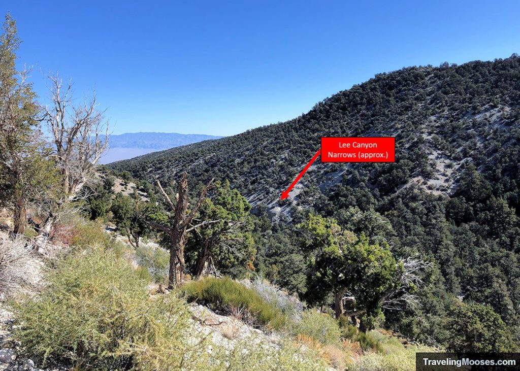
As you travel along the Blue Tree loop trail, you’ll begin to gain elevation and if you look to your right, you’ll be right above the Lee Canyon Narrows.
We opted to backtrack and attempted to access the narrows approaching from the western entrance (traveling east).
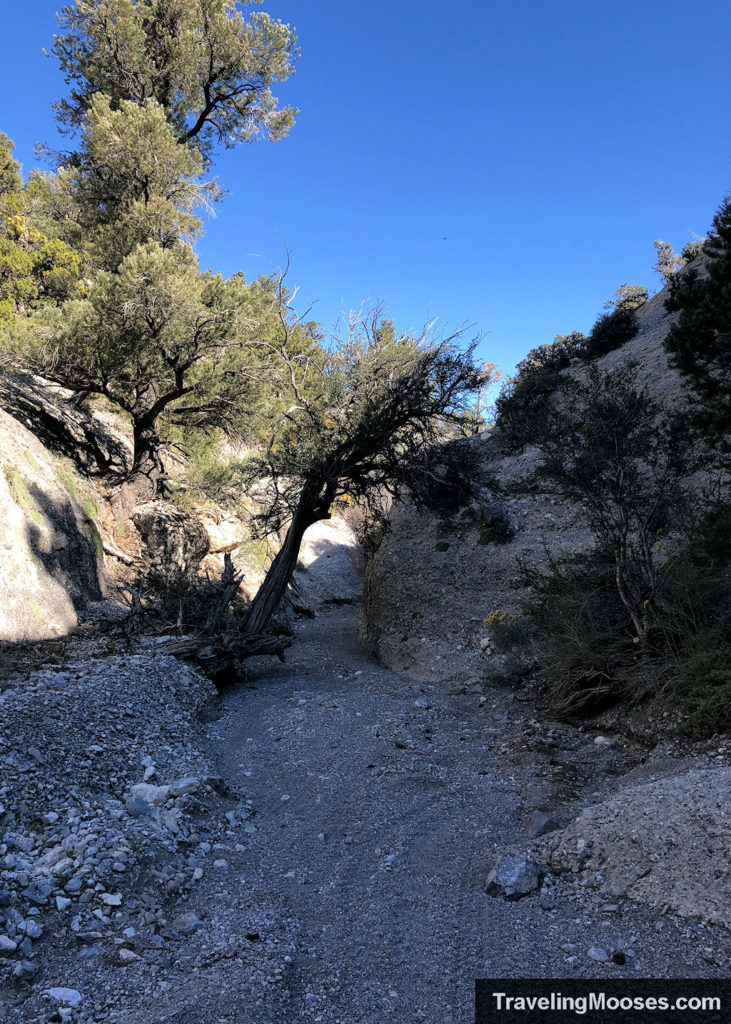
The canyon walls were tall as we entered the narrows.
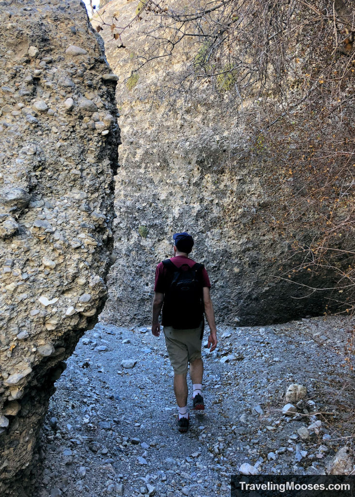
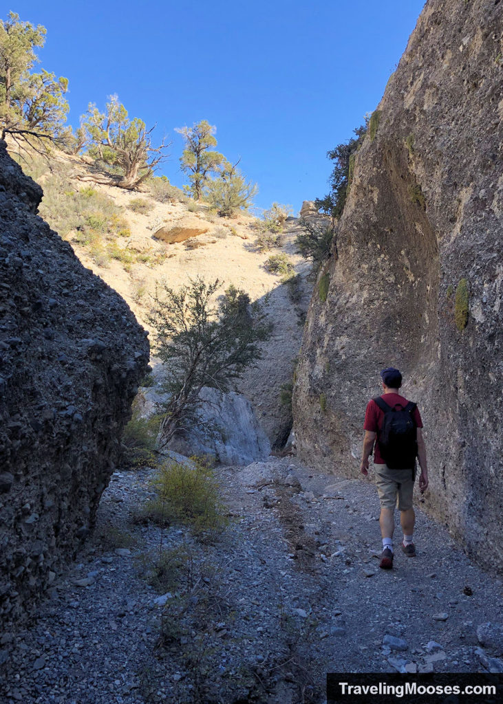
We reached the choke point of the canyon and learned we couldn’t go any further.
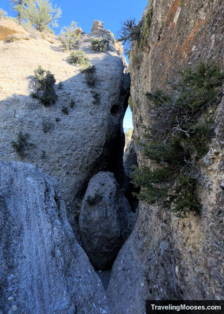
We had made a mistake trying to enter the canyon from the western side (traveling east) and found an unpassable steep drop off from erosion.
We later learned if you go past the narrows, you can find a path to enter the narrows from the eastern entrance (traveling west).
We decided to call it a day at the point and backtracked to the Sawmill trailhead.
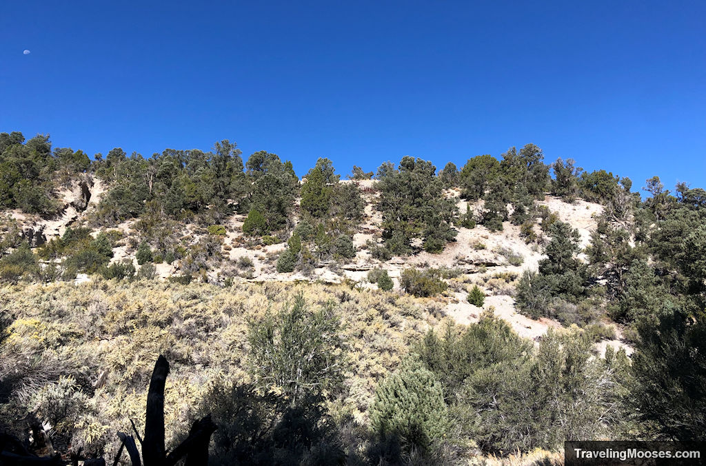
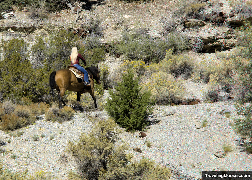
On our way back to the trailhead, we were able to catch a glimpse of a few horses that were using the trail.
We made the final push back up the ridgeline and ended our hike just under 58 minutes and around 1.87 miles.
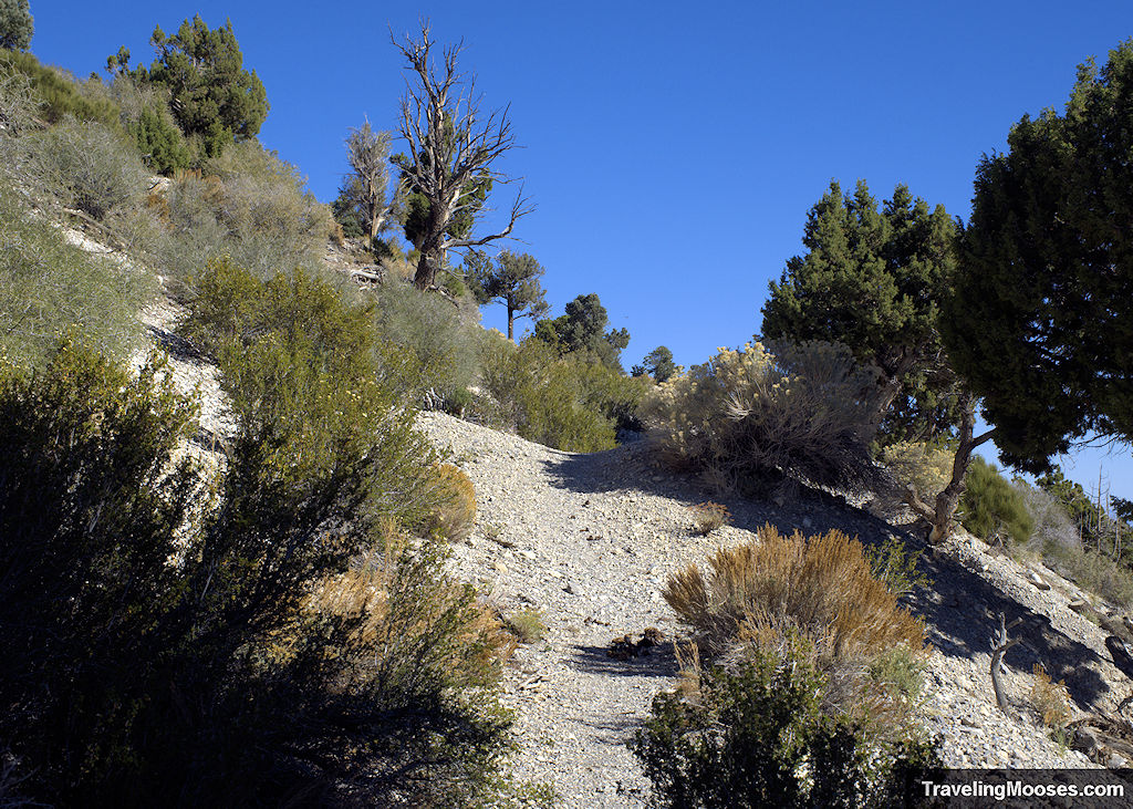
It is possible to continue along the Blue Tree loop trail (approximately 8 miles round trip), if you don’t want to backtrack. We weren’t prepared for that long of a trek.
Is hiking to Lee Canyon Narrows worth it?
Rating: 2.5 Mooses

What we liked:
- We enjoyed the views of the Mummy Mountain North Summit
- We liked exploring the old cars that ended up in the wash (likely from the 1940s) and wondered how they got there.
- Seeing the Lee Canyon Narrows was interesting.
- We liked speculating on where all the old rusted cans came from.
What we didn’t like:
- You must cross over NV-156 to reach the trail and there are no crosswalks. The road can get busy, especially on a weekend. The speed limit is 55 mph (which no one obeys), so be careful when crossing!
- The trail isn’t very wide and is frequently shared with horses.
- With no other hikers around, seeing the old cars with bullet holes and rusty cans strewn around made the area feel a tad creepy.
- If you want to explore the Lee Canyon Narrows, we believe the only accessible entrance is from the eastern side. There is a large drop off from the western approach and it wasn’t safe for us to proceed.
Practical Information for your Hike
Current trail conditions
- Check MtCharleston weather for current conditions in the area.
- Check GoMtCharleston for trail closures.
- Check Alltrails for recent trail reviews and to download a map of the area (we always prefer the pro-version so we can view it offline). *Note the link for Alltrails is for the entire Blue Tree Loop Trail, and does not stop at Lee Canyon Narrows, it was still helpful for us to see where we were at on the trail. We have no affiliation with Alltrails.
What to bring
Be sure to check the weather conditions and pack appropriately. This is what we brought for this hike:
Standard Gear:
- The 10 Essentials. These are a must for us on every hike.
Special items of note:
- Hiking Boots or closed toe shoes – The trail was well established, but we recommend wearing hiking boots or trail shoes with a good grip on them. The narrows portion of the trail is in a wash with a lot of rocks.
- Clothing – Be sure to bring appropriate clothing for rapidly changing conditions in the mountains. Weather can change extremely fast.
- Water / Snacks – There are no services in the area, so be sure to bring water and snacks with you. The nearest food (if it’s open) is the Lee Canyon Ski resort. It’s generally only open on weekends.
- Navigation – We used Alltrails for navigation, however, the map of the Blue Tree trail doesn’t take you to Lee Canyon Narrows and instead goes above it. It’s still a good proxy for where you’re at in the area.
Parking for Sawmill Loop Trail
You’ll find a large parking lot off of NV-156/Lee Canyon Road about 13 miles from the turn off on US-95.
We found two other cars in the lot when we arrived at 9 a.m. on a Saturday. When we left several hours later, there were maybe three cars.
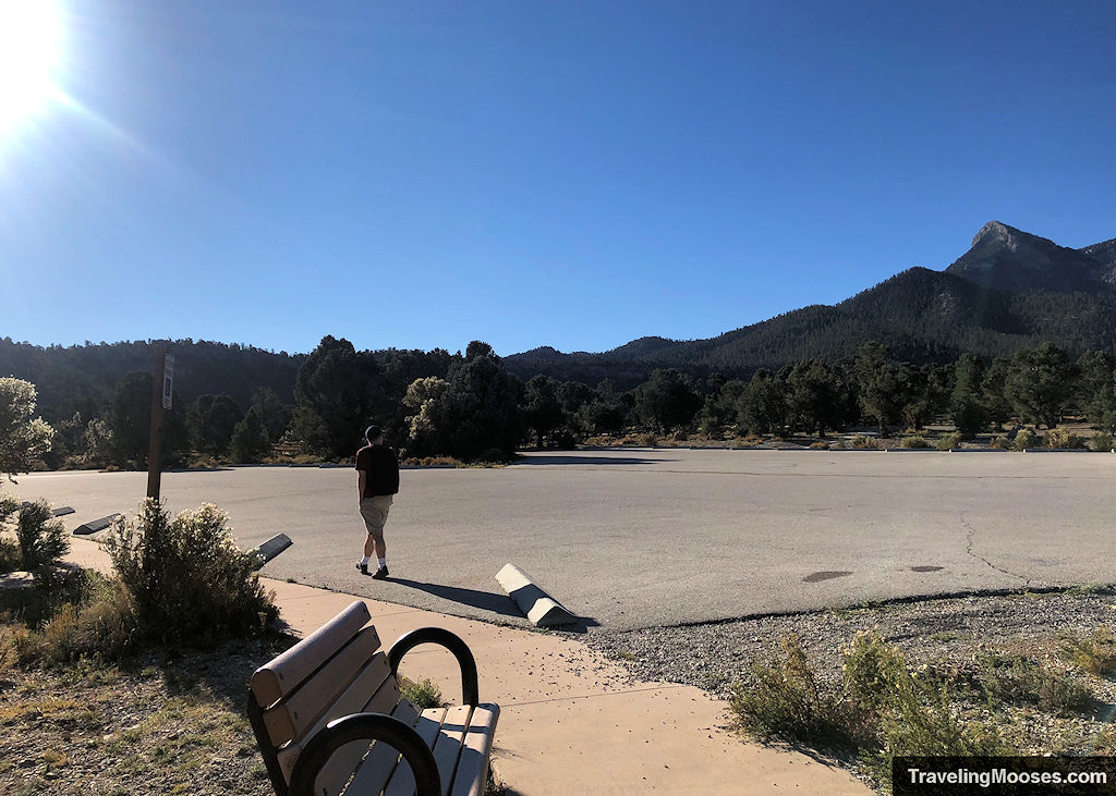
Keep in mind the Blue Tree trail start is closer to the equestrian side of the Sawmill trailhead area. We found the parking more friendly on the day use side, however, you could parallel park in the equestrian side if it isn’t busy.
Entrance Fees
There are no fees to park at the Sawmill trailhead.
Getting to Sawmill Trailhead
Location: Sawmill trailhead
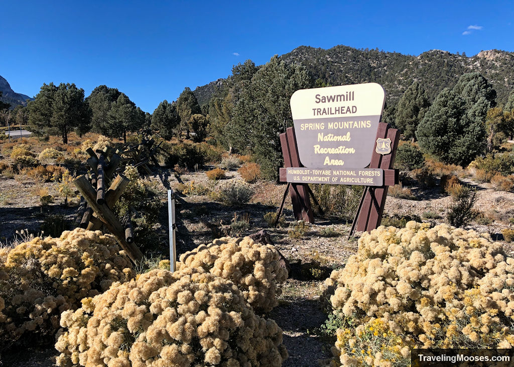
The Sawmill trailhead can be found off Highway NV-156 (aka Lee Canyon Road), approximately 13 miles from the turnoff of Highway 95.
From Las Vegas:
Take Highway 95 Northbound until you see signs for Lee Canyon (NV/156). There will be a left-hand turn that sneaks up on you with only a simple left hand turn lane.
Once on Highway 156 / Lee Canyon Road, drive approximately 13 miles. You will see a sign for the Sawmill trailhead on your right.
After turning in the parking area, keep to the left to find the day use parking area. If you turn right, you’ll end up at the equestrian parking area.
Trail maps
Trailhead Amenities
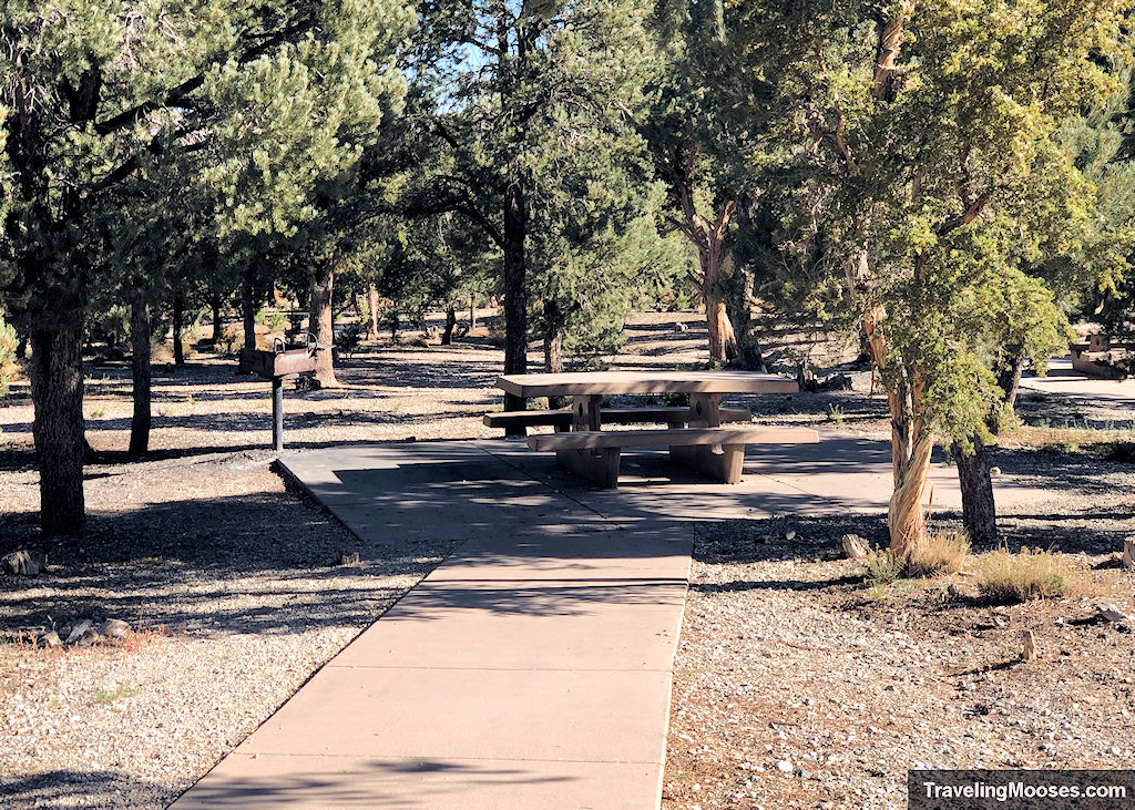
- A large parking area
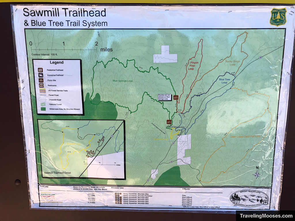
- Local trail information, trails maps and Spring Mountains Recreation area map
- Primitive restrooms
- Trash receptacles
- Access to several different trails, Sawmill Loop (1.3 miles round trip), Mud Springs Loop (13.1 miles round trip), Pinyon Pine Loop (5.6 miles round trip), Blue Tree Loop (7.8 miles round trip), Deer Creek Catch Pen Loop (11.8 miles round trip)
- Nearby to the Blue Tree Group Camp area and equestrian parking
Trail Rules & Regulations
A few rules exist along the trail as posted on the information sign boards at the trailhead:
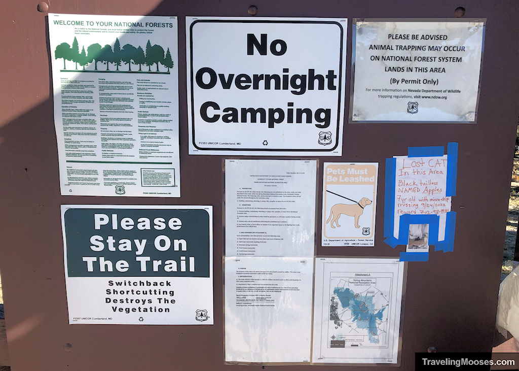
- No overnight camping is allowed.
- Pets must be leashed.
- Please stay on the trail. Switchback shortcutting destroys the vegetation.
- Fires are not permitted except in developed recreation sites.
- Operation of audio devices such as radio or musical instrument should be used in a way that will not disturb other forest visitors.
- Use of fireworks or other explosives is prohibited.
- Day use areas are for use between 6 a.m. and 10 p.m.
Other rules and regulations may apply and are subject to change at any time. Please read and respect all rules posted at the trailheads.

