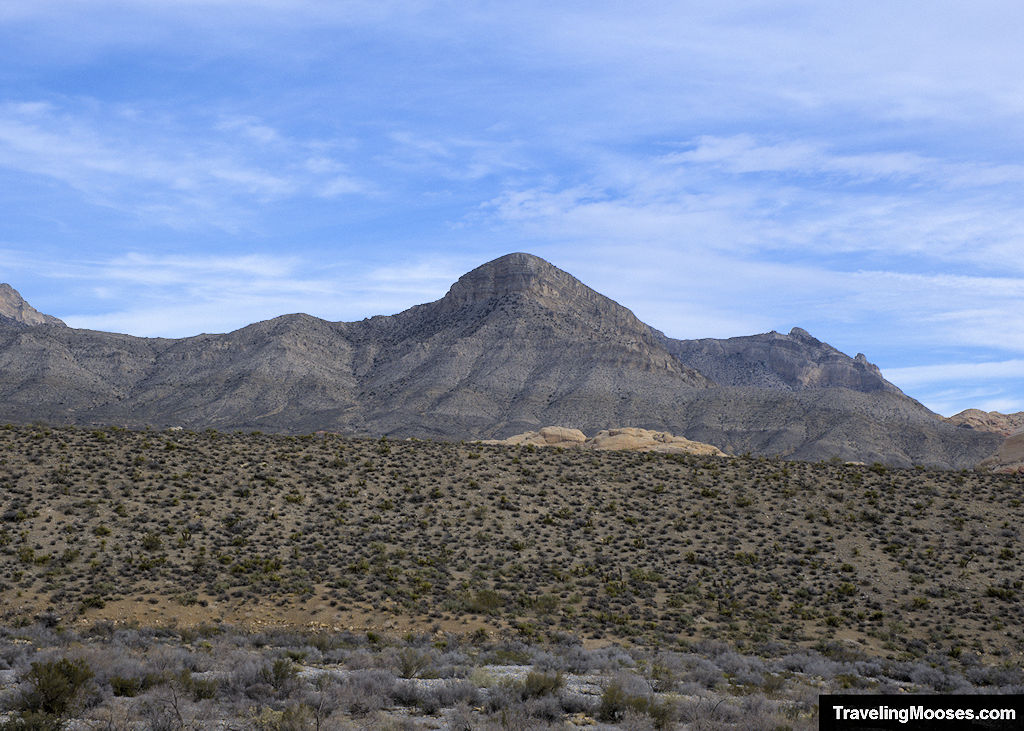
If you’re looking for the most popular summit hike in Red Rock Canyon, Turtlehead Peak delivers sweeping views, a solid workout, and a sense of accomplishment—no ropes, no permits, just a high desert adventure with epic payoff. It’s a local favorite for good reason.
You will need a park reservation if arriving after 8 a.m. during high season, but the climb is worth every step.
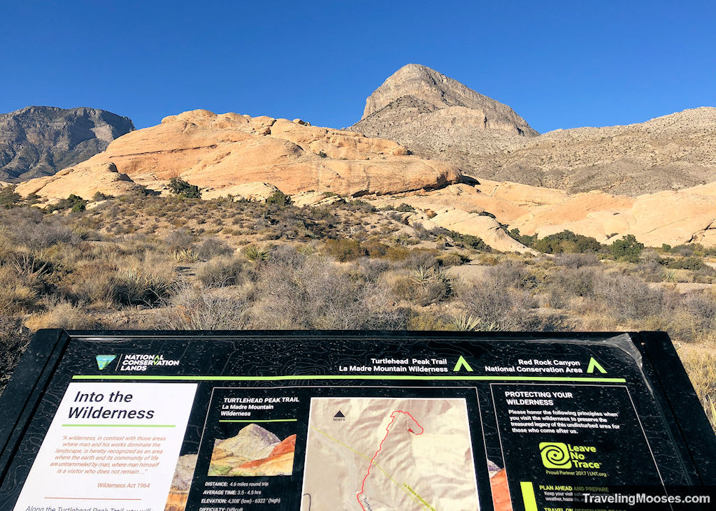
Turtlehead Peak Trail Hike at a Glance
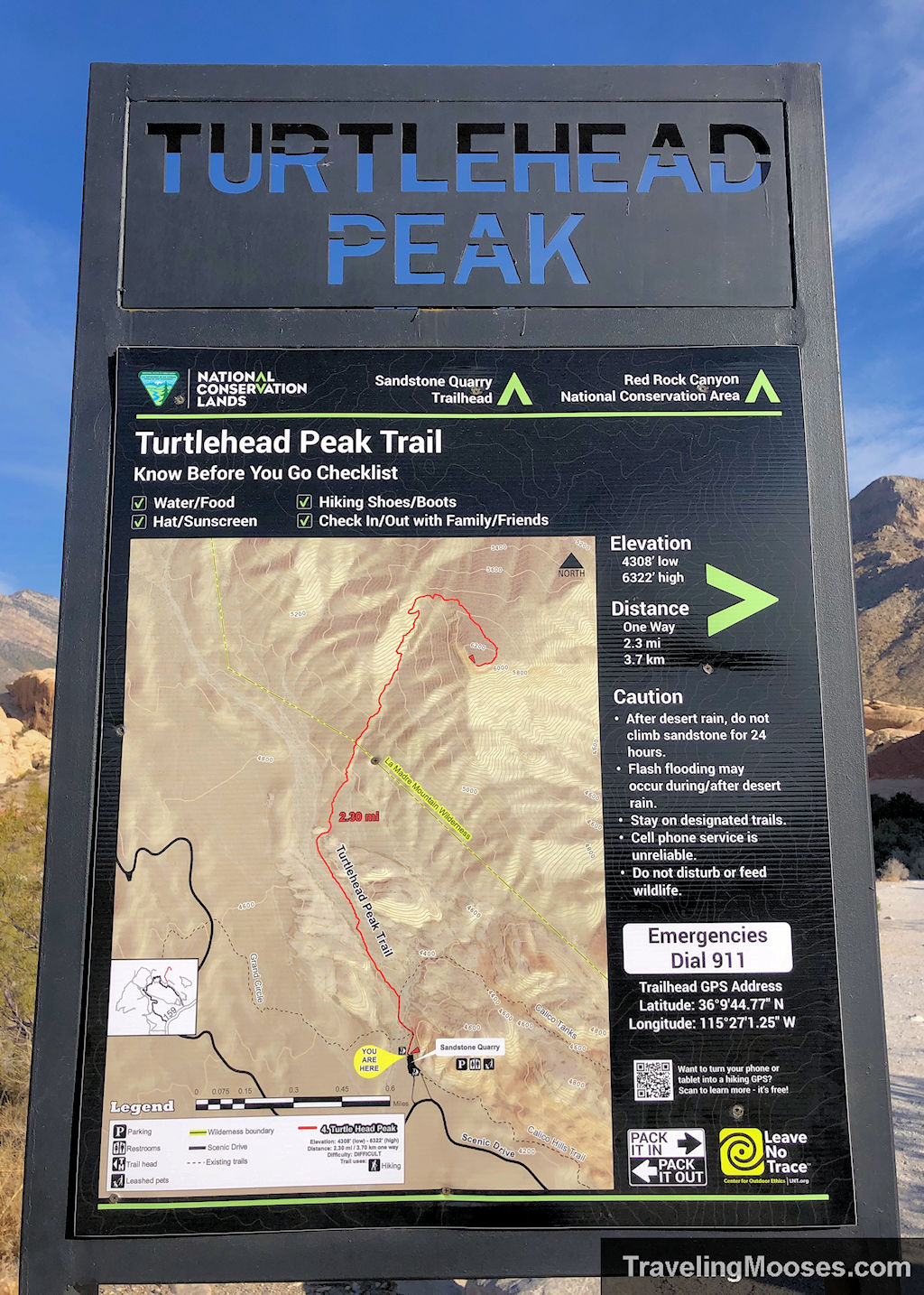
| Round Trip Mileage | ~4.6 miles |
| Elevation Gain | ~1,988 feet |
| Highest Elevation | ~6,322 feet |
| Average Time | 3.5 – 4.5 hours |
| Trail Start | Sandstone Quarry Parking Lot |
| Difficulty | Strenuous |
| Entrance Fees | Entry fee or America the Beautiful Pass required. See current rates here. Reservations required October 1 – May 31st (timed entry for scenic loop access) |
| Parking | Free after entrance to the park. The parking lot is fairly large and normally isn’t full. |
| Moose Rating | 5 out of 5! |
| Current Weather Conditions | Red Rock Canyon |
What to Expect on the Trail
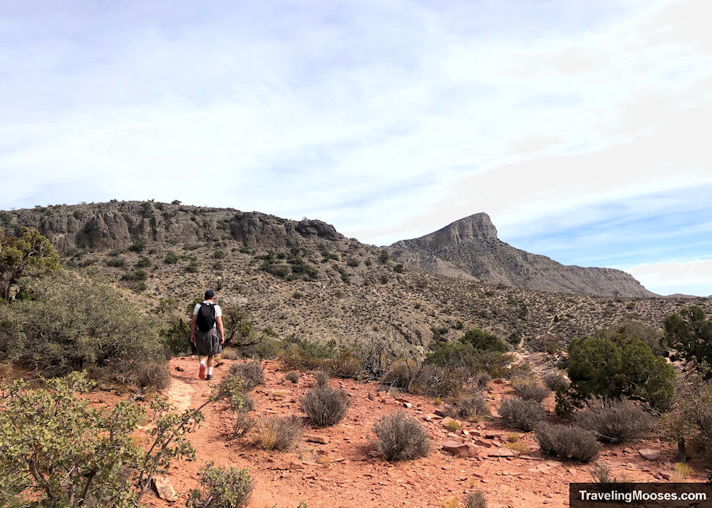
The first half-mile of Turtlehead Peak is a warm-up—wide, relatively flat, and shared with the more popular Calico Tanks trail. You’ll see a fork in the trail not far from the parking lot. Head left for Turtlehead, and the real work begins.
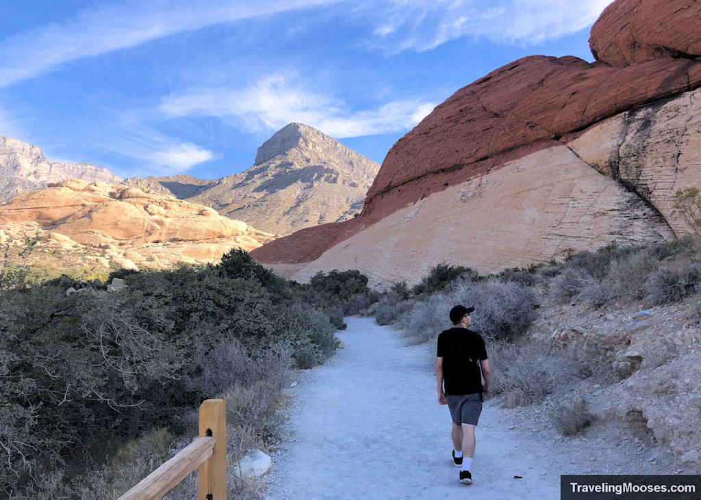
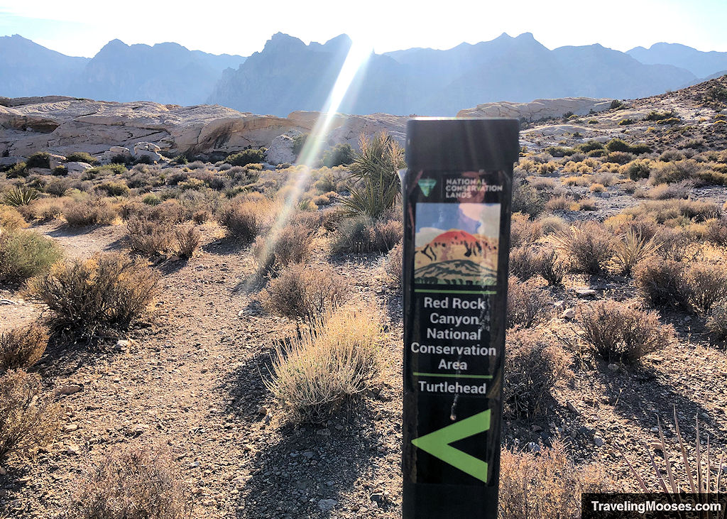
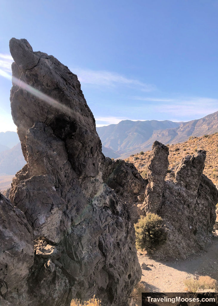
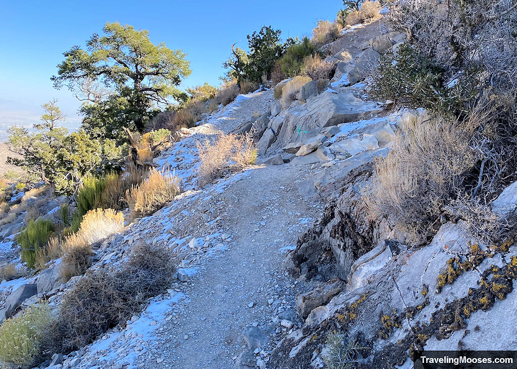
After that point, the terrain changes quickly. The trail turns rocky, uneven, and in many places, hard to follow. Loose gravel gives way to larger rocks, and you’ll likely find yourself occasionally scrambling with hands and feet as you climb higher.
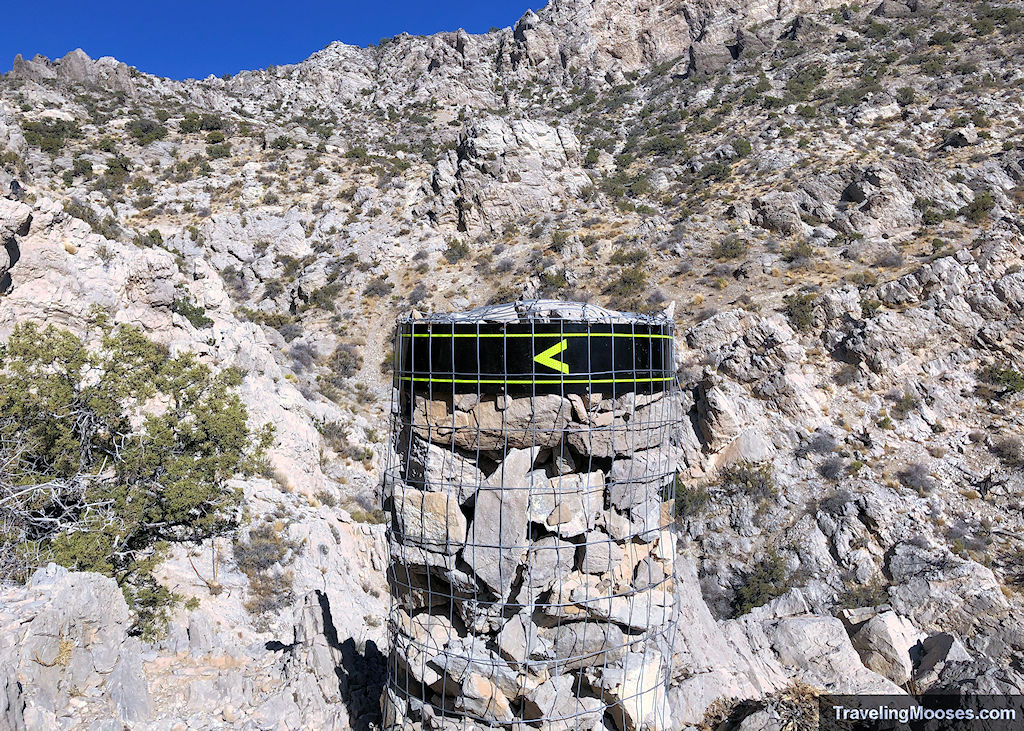
Trail markers become sparse. Instead of clear signs, you’ll follow red or white dots and arrows painted onto rocks. They’re easy to miss—especially on the descent. We made several wrong turns and had to backtrack more than once. Fortunately, most of the unofficial side paths eventually reconnect with the main trail… they’re just often steeper and less stable.
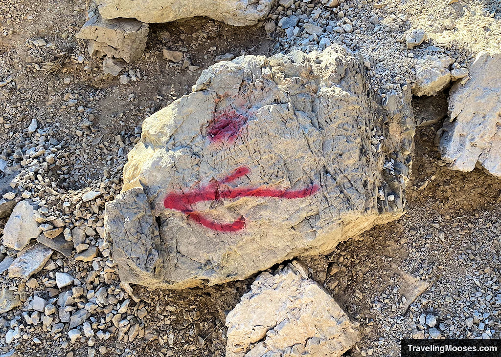
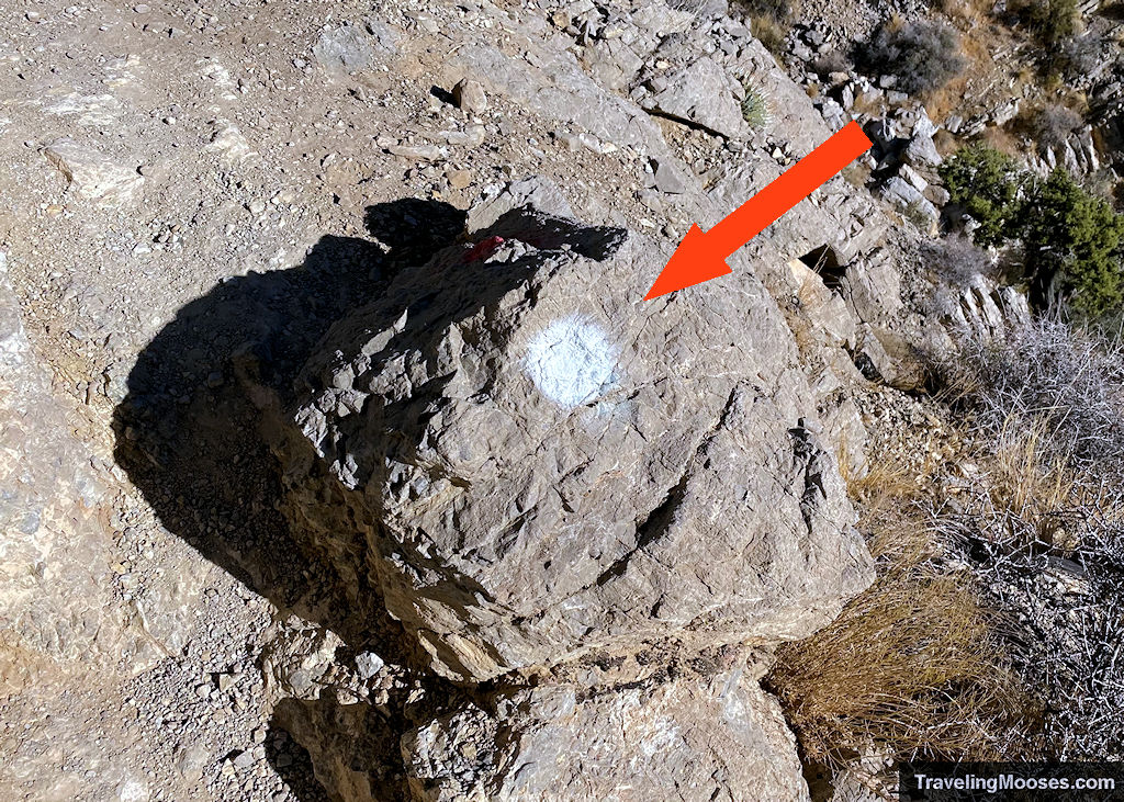
I’m not particularly comfortable with heights or trails that feel exposed, but I never felt unsafe on Turtlehead Peak. I didn’t see any sheer drop-offs on the official route, and while the scrambling is real, it felt more like a test of balance than a risk to me. That said, if you accidentally drift off trail, the terrain can get sketchier fast—steeper, looser, and less predictable. Stick to the marked path as much as possible for the safest route to the summit.
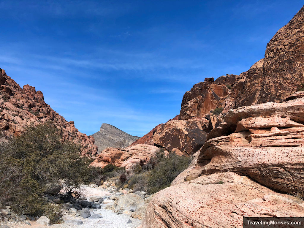
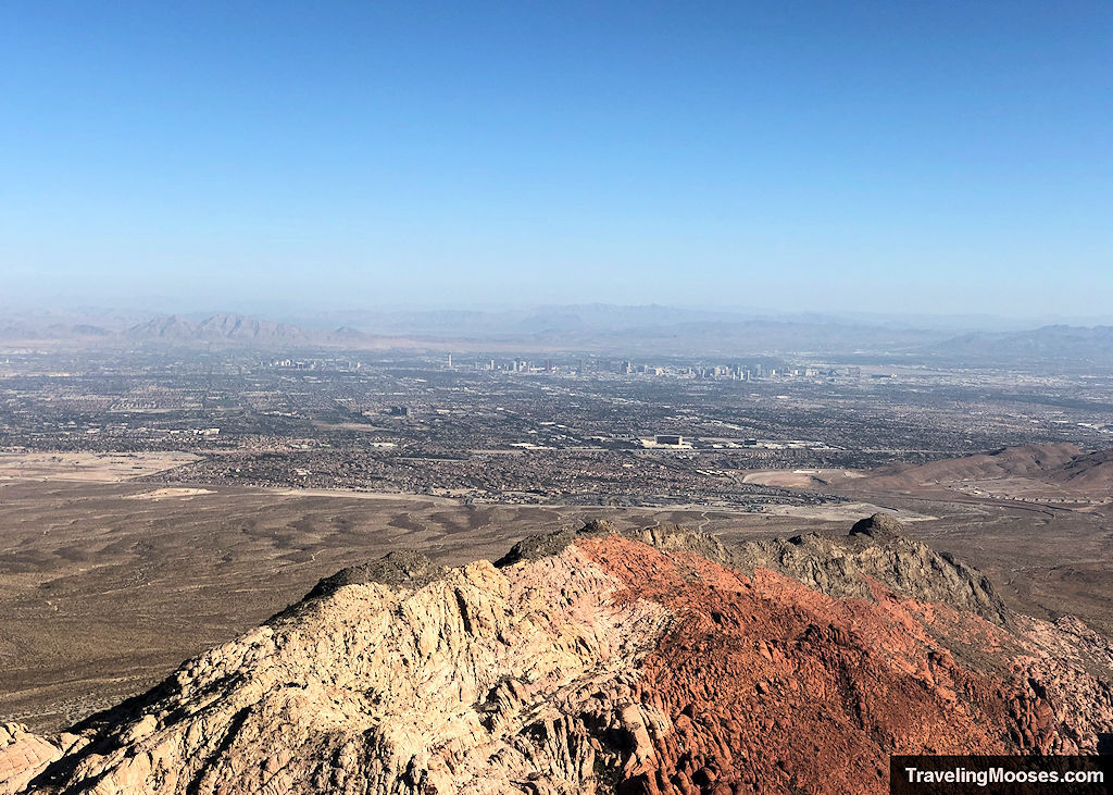
You’ll gain almost 2,000 feet of elevation in just over 2 miles, and most of that comes in the second half. It’s a grind, but the views open up quickly. Calico Hills unfold behind you, the city skyline appears in the distance, and the sandstone formations change colors as you climb.
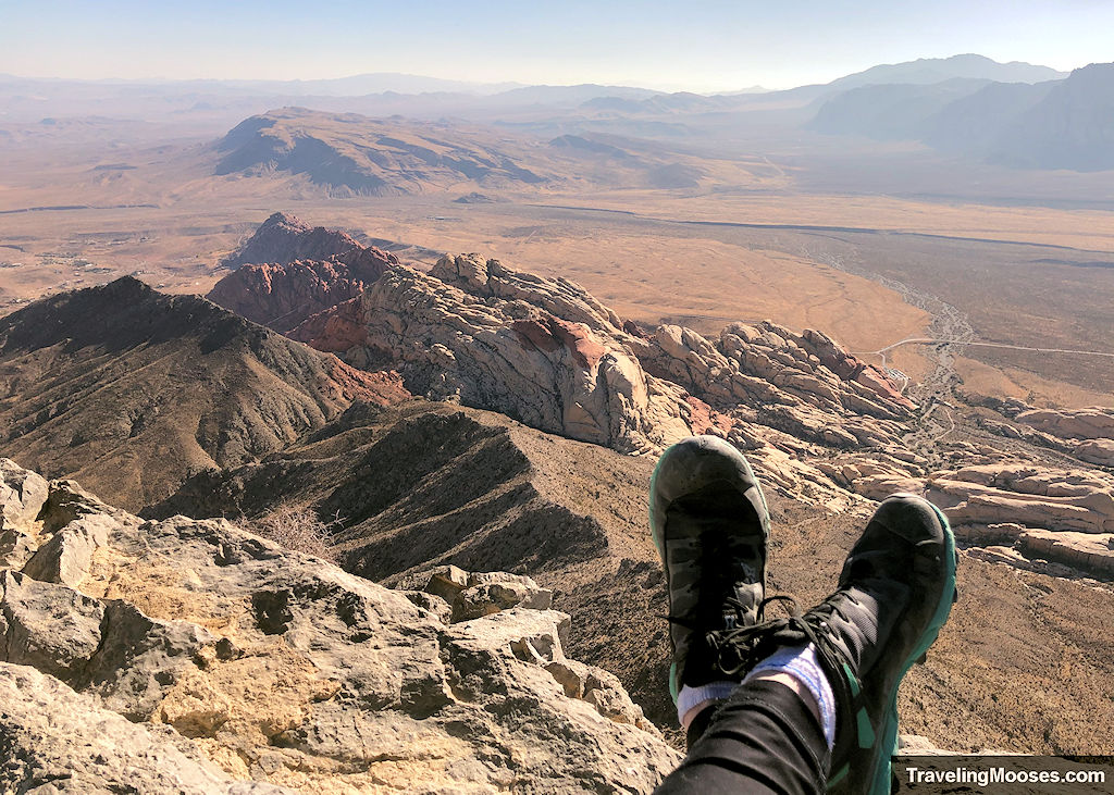
At the summit, you’ll find a wide, rocky plateau with panoramic views in all directions—plus plenty of wind. There’s not much shelter up top, but it’s the perfect spot to pause, snack, and take in the scope of Red Rock Canyon.
It took us just over 2 hours to reach the summit and about 90 minutes to descend. The footing gets trickier the higher you go, so take your time and wear sturdy shoes—some light scrambling is almost guaranteed near the top.
🚗 Getting to the Trailhead
The Turtlehead Peak Trail starts at the Sandstone Quarry parking area, about 3 miles into the Red Rock Scenic Drive. This is the third major lot along the loop, and it’s well-marked on park signage.
This trailhead is also used for the popular Calico Tanks hike, so it sees plenty of foot traffic. Even on busy weekends, we’ve never had trouble finding a spot. The lot is large, and turnover is usually quick.
If you’re visiting between October 1 and May 31, you’ll need a timed entry reservation to access the scenic loop after 8 a.m. You can enter before 8 a.m. without one, which is great if you’re aiming to beat the heat or crowds.
💡 Tip: Don’t take a rideshare (Uber/Lyft) into Red Rock Canyon. Cell service is unreliable, and drivers won’t be able to pick you up inside the park—even if they got through the entrance gate with you.
🐢 Why Is It Called Turtlehead Peak?
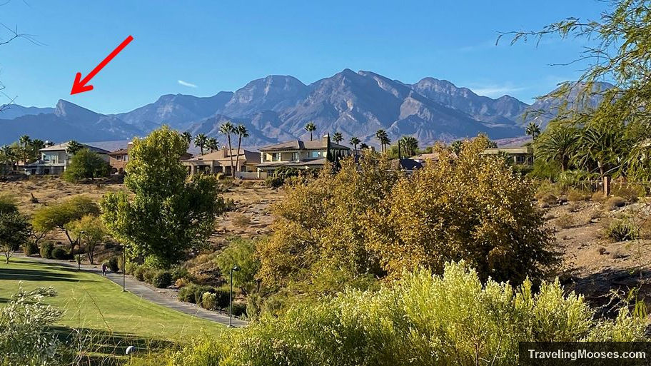
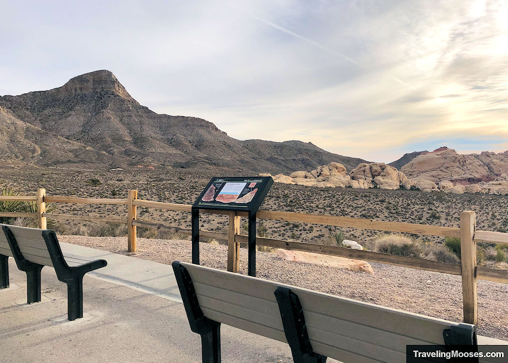
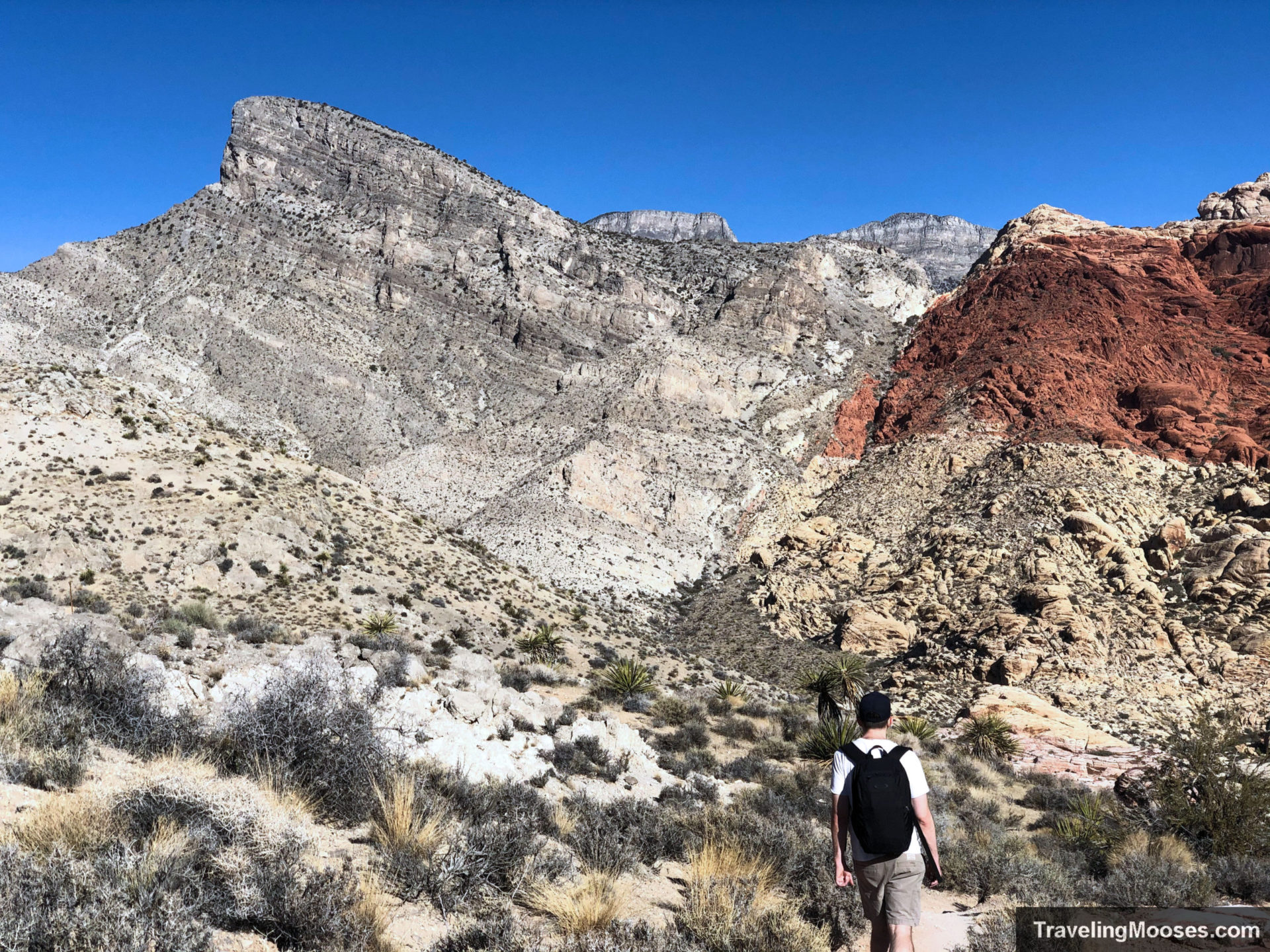
From almost anywhere in the Red Rock Canyon and nearby Summerlin, you can spot Turtlehead Peak rising above the landscape—its shape vaguely resembling a tortoise poking its head above a shell. The name stuck, and once you see it, you won’t unsee it.
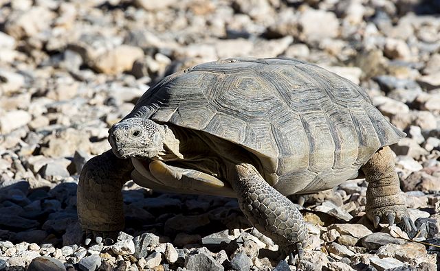
The connection goes beyond the shape. Red Rock Canyon is protected habitat for the Mojave desert tortoise, Nevada’s official state reptile. If you stop by the Visitor Center, you might spot one basking in the sun inside the tortoise enclosure.
It’s a small detail—but once you’ve hiked to the top, Turtlehead becomes a personal landmark. Every time we visit Red Rock now, we catch ourselves saying, “We’ve been up there.”
Turtlehead views from the park
What to Bring, Weather Tips, and Safety Notes
Turtlehead Peak is short—but it’s no walk in the park. The steep climb, desert exposure, and loose terrain make preparation essential.
What to Bring
- 2+ liters of water per person (seriously—it gets hot fast)
- Electrolytes or salty snacks – I skipped them and regretted it when cramps kicked in near the summit
- Lesson learned: Mr. Moose and I used to joke about whether salt pills actually do anything. On this hike, I would’ve paid real money for one. The cramping near the top was no joke.
- Trail shoes or boots with good grip
- Sun protection – hat, sunscreen, sunglasses
- Optional but helpful: trekking poles, windbreaker, GPS or offline map
There’s almost no shade on this trail, and you’ll be exposed to the sun for most of the hike. We found only a couple of small trees and one shady rock section near the top.
Weather & Conditions
- Best season: October through April
- Worst time: Summer afternoons—too hot and potentially dangerous
- Wind: Strong gusts are common at the summit
- Temperature drop: Expect it to be 10–15°F cooler at the top than at the Visitor Center
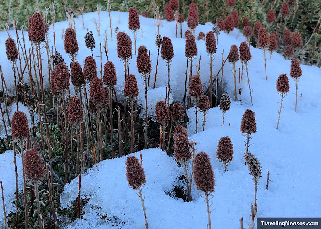
- Snow: We saw small patches near the summit in mid-November
💡 Tip: Temperature typically drops about 5.4°F for every 1,000 feet of elevation gain. With nearly 2,000 feet of gain on this hike, that can add up fast.
⚠️ Safety Considerations
- Trail navigation is tricky – Watch for red and white painted dots. Stay on trail when possible.
- Exposure risk is low – No major drop-offs on the official route
- Avoid sandstone climbs for 24 hours after rain (slippery and fragile)
- Flash floods are possible during/after storms
- Cell service is unreliable
- Don’t rely on Uber/Lyft for drop-off or pickup
- Check in/out with someone if hiking solo
Even though it’s a popular trail, it can feel isolated in spots. Know your limits, and turn back early if you’re overheating, cramping, or feel unsure about the terrain.
🏔️ What You’ll See at the Top
When you finally reach the summit of Turtlehead Peak, the effort pays off immediately. You’ll be standing on a wide, open plateau with 360° views of Red Rock Canyon, the sandstone cliffs below, and the Las Vegas skyline in the distance.
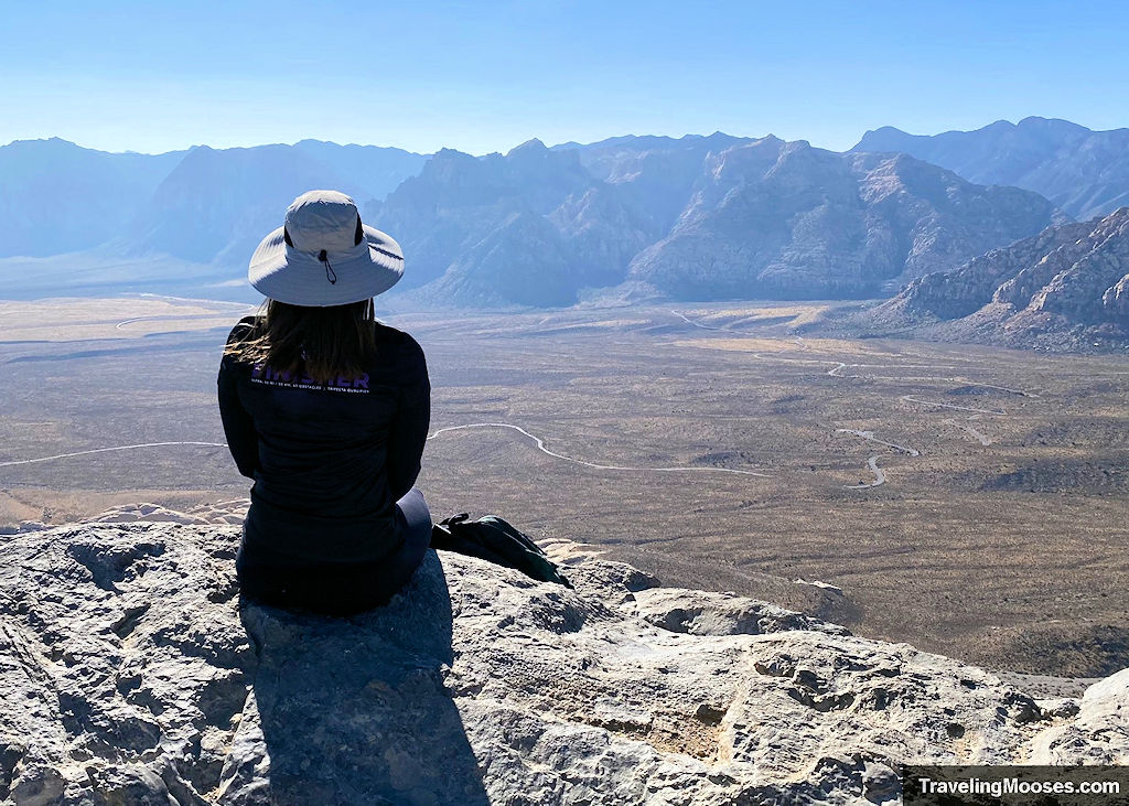
On a clear day, it feels like you can see forever. If it’s overcast or hazy, you may want to save this one for another time to get the full effect.
It was windy when we went, and quite a bit colder than at the trailhead. There aren’t many places to shelter from the gusts at the summit, so we didn’t linger too long—but the views were absolutely worth it. You’ll get a full sweep of the Calico Hills, the Las Vegas skyline, and the rugged layers of Red Rock Canyon laid out below you.
More trails nearby:
Related: A map with other hikes we’ve been on in Red Rock Canyon and the Las Vegas area, or if you prefer lists, here’s a list of all the hikes we know about in the area. We’ve also made a hiking guide for the Las Vegas area.
🐾 Final Verdict: 5 Mooses
| 🟢 What We Loved | 🔴 What Could Be Better |
|---|---|
| Epic summit views | Trail can be hard to follow |
| Fun scrambling | No shade and wind up top |
| Real sense of reward | Steep, loose descent requires focus |
More Information for your Trip to Red Rock Canyon:
Red Rock Canyon (within the park on the scenic loop)
- Frequently asked questions about Red Rock Canyon
- Red Rock Canyon Visitor Center
- Hiking:
- Quick Stops:
Calico Basin (entrance is currently free)
- Red Spring Boardwalk (Picnic area / photo spot, short walk and jumping off point for other hikes).
- Hiking:
Along NV-159 (outside the scenic loop)

