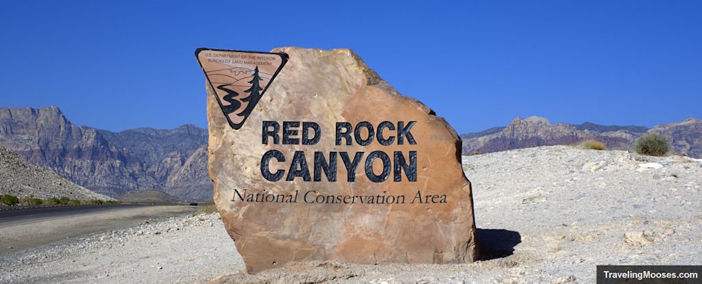
20 miles west of the glittering Las Vegas strip, Red Rock Canyon rises from the floor of the Mojave Desert. Nature lovers will find over 30 miles of official hiking trails, a 13-mile scenic drive, mountain biking, road biking, picnic areas, ancient petroglyphs, rock climbing, a visitor center complete with desert tortoises, and much more.
In this guide:
- Things to do in Red Rock Canyon
- Interactive Activity Map
- Hiking Information
- Practical Information for visiting Red Rock Canyon
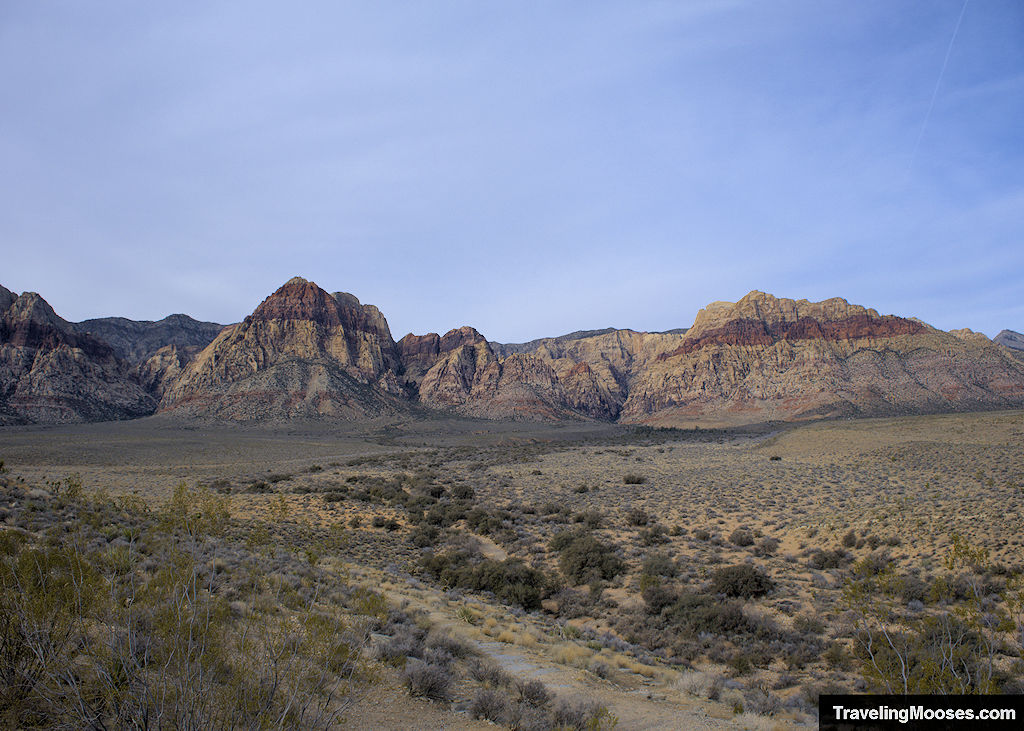
Things to do in Red Rock Canyon
Enjoy the 13-Mile Scenic Drive
The most popular activity within Red Rock Canyon is the 13-mile scenic drive.
After passing through the entrance gate, visitors will wind through the park on a paved one-way road past towering sandstone walls and scenic overlooks.
A “choose your own” adventure waits with multiple stops for hiking, epic viewpoints, or exploring ancient petroglyphs. The scenic drive is a wonderful way to see the park, whether you travel via car, bike, or join a tour group.
Explore the Visitor Center
The visitor center at Red Rock Canyon is one you won’t want to miss.
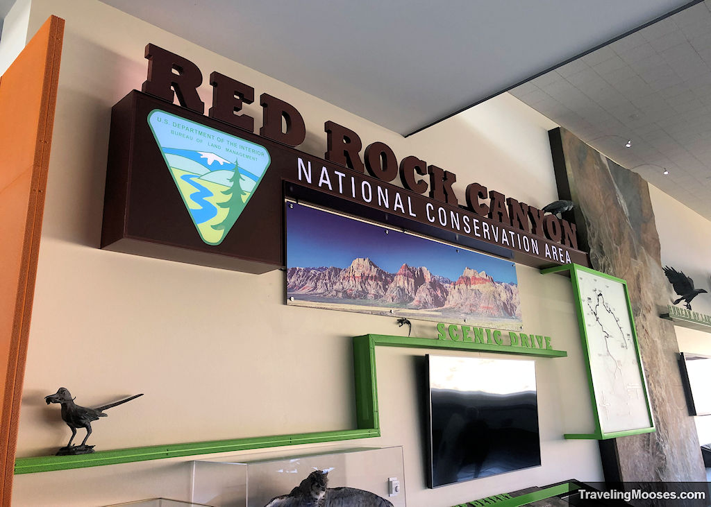
In addition to the multitude of exhibits on site, visitors will find breathtaking views, an educational theater, a robust gift shop, and seasonal desert tortoises.
It’s the perfect stop kick off your visit to the park.
More Info: Red Rock Canyon Visitor Center.
Breathtaking Scenic Views
The scenic drive is chock full of scenic overlooks which are easily accessible by car.
The two main scenic view points within the scenic loop are the High Point Overlook and the Red Rock Wash Overlook.
We recommend stopping at the High Point Overlook as it’s the highest point in the park and boasts a view of the entire valley.
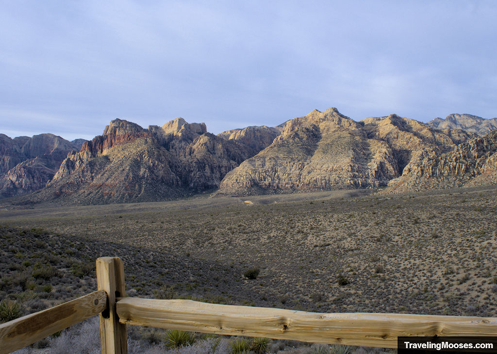
More Info: High Point Overlook.
The High Point Overlook can get crowded. If you’re looking for some solitude, we recommend the Red Rock Wash Overlook as an alternative.
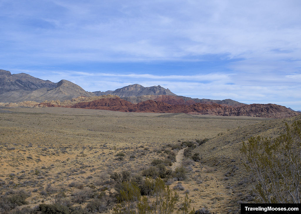
More Info: Red Rock Wash Overlook.
If you’re not interested in paying for the fee to enter the scenic drive, or you want another view after you’ve exited the fee area, check out the popular Red Rock Canyon Overlook on NV-159.
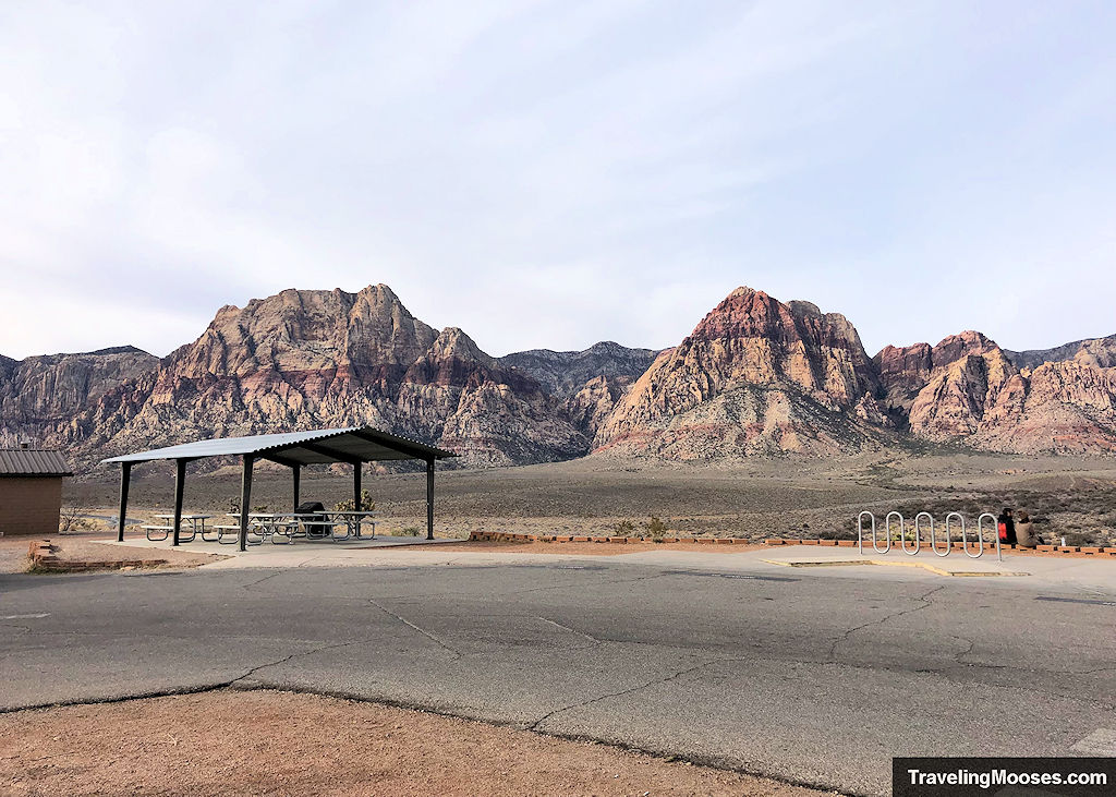
More Info: Red Rock Canyon Overlook.
Discover over 30-Miles of official hiking trails
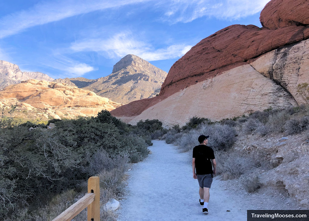
One of the biggest draws to Red Rock Canyon is the hiking. We love visiting the park for this purpose.
If you’re an avid hiker like we are, or just want to get out and stretch your legs, we recommend jumping straight to the hiking section to find the perfect hike.
Hot tip: Looking for more hiking trails in the Vegas area? Hop over to our Essential Guide to Hiking in Las Vegas.
Experience world class rock climbing and bouldering
Red Rock Canyon is a giant playground for rock climbing and bouldering.
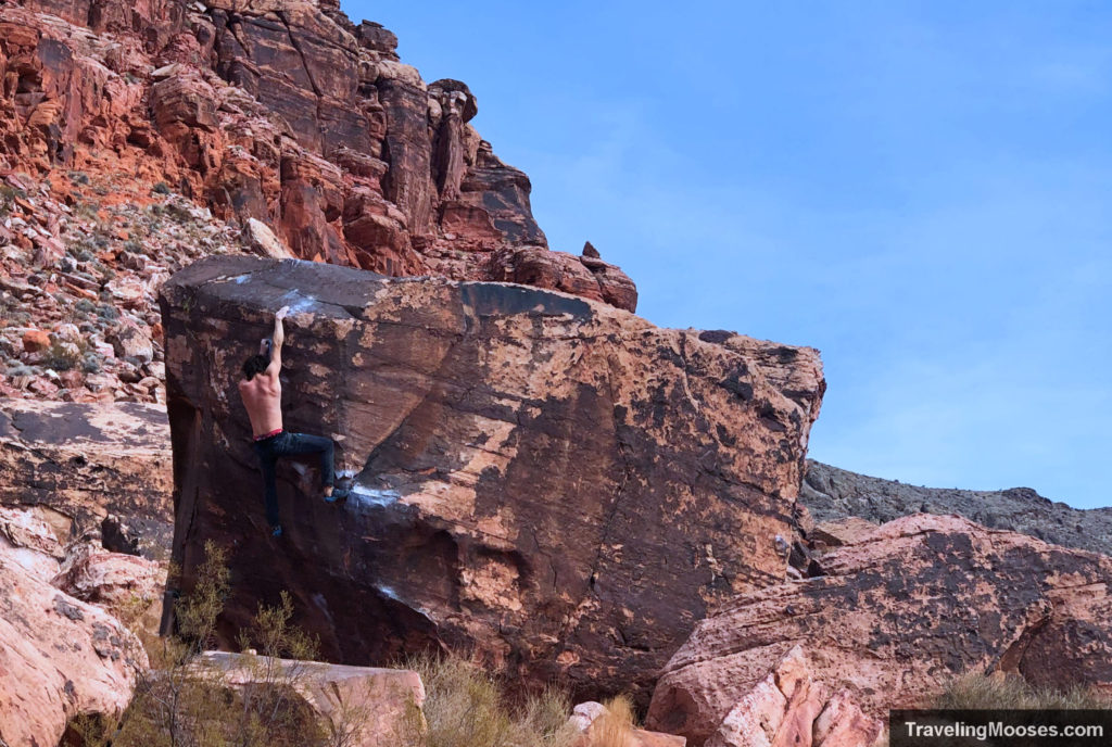
The area attracts climbers from around the world and features traditional climbing and sandstone sport crags in a variety of difficulties. Bouldering is also a popular activity for locals and visitors alike.
Whether you want to take part or just enjoy watching the climbers, a sunny day will draw quite a crowd to the park.
Examine ancient petroglyphs / pictographs
One of the easiest accessible areas to view petroglyphs in the Las Vegas area can be found along the Petroglyph Wall trail at the Willow Springs Creek parking area.
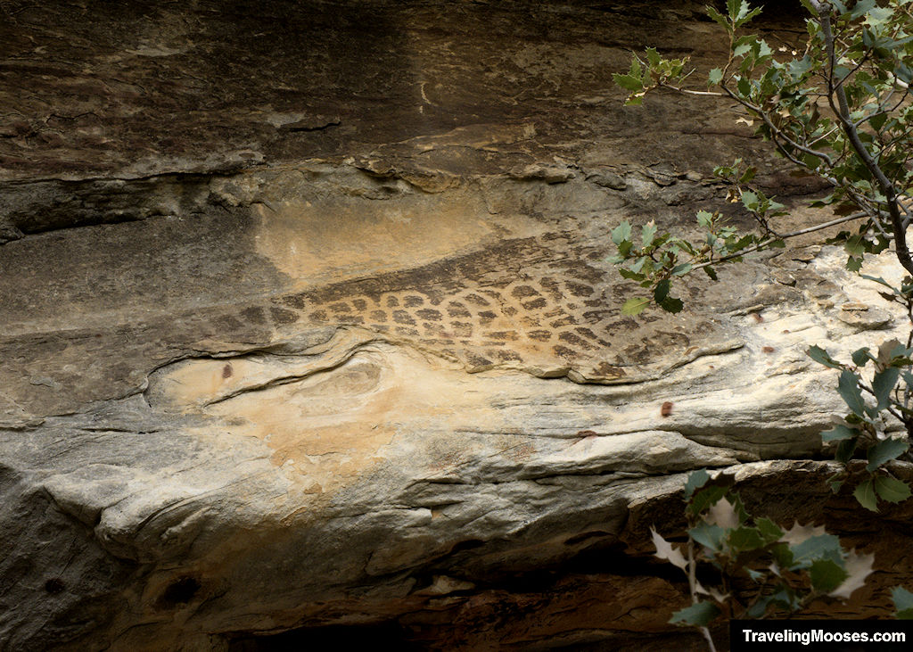
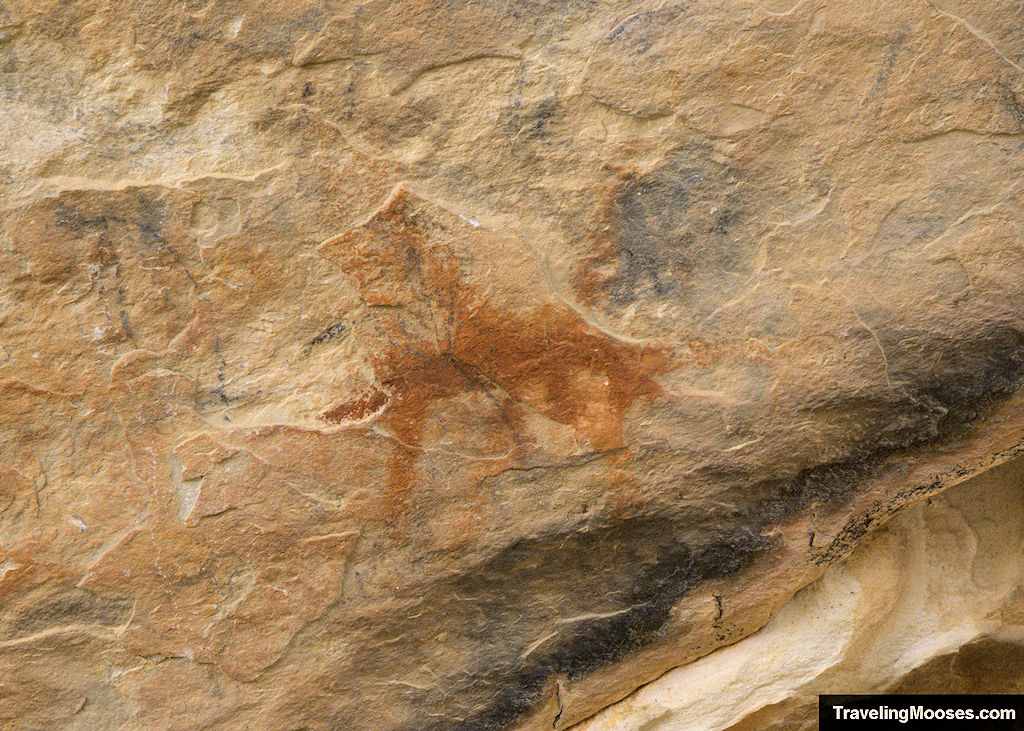
A short 0.2-mile round trip (fairly flat) trail takes visitors back in time to catch a glimpse of ancient petroglyph and pictographs carved into the rock walls.
We missed some of the petroglyphs and all of the pictographs the first time we went, so be sure to check out our guide below on where to look.
Find out more: Explore the Petroglyph Wall.
Visit the famed Red Spring Boardwalk
Located in the heart of Calico Basin (outside of the Red Rock Canyon Scenic Loop fee area), Red Spring Boardwalk is an easily accessible area for a picnic lunch, a short stroll, and a popular photo shoot location.
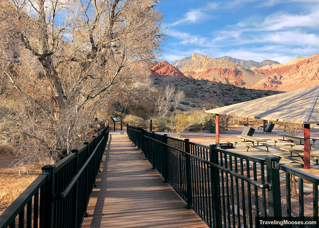
The area also serves as a popular wedding spot due it’s stunning views of the red sandstone mountains.
For avid hikers, this is the start of several hiking trails covered later on in the Calico Basin Hiking section.
Learn more: Red Spring Boardwalk.
Interactive Activity Map
Most of my family thinks I’m a little crazy for wanting to pre-plan out our vacations, but I love having a map of the activities we want to do. We rarely go back and visit the same location twice (Red Rock Canyon has been a huge exception, that’s how much we love going there), so it’s essential to have a road map of what we want to see and do.
This interactive map contains a list of all the activities we’ve done within the park and at the nearby Calico Basin. It ranges from quick scenic stops to multi-hour hiking trips. Whether you have an hour or the whole day, there’s always something fun to see in Red Rock Canyon.
If you can’t see the map below, you can find it at this link:
Hiking Information
The Red Rock Canyon National Conservation area is a large area with multiple areas to explore. Our favorite areas within the park are:
An official BLM map of the entire Red Rock National Conservation Area can be found here.
Related: Find the perfect hike – Every trail in Red Rock Canyon.
Red Rock Canyon Scenic Area
With 30 miles of official hiking trails and many more off trail areas to explore, it’s hard to pick our favorite hikes within the area. Here’s a few of our favorites:
Calico Tanks
- Trail Start: Sandstone Quarry parking lot
- Mileage (round trip): 2.2 miles
- Elevation Gain: ~390 feet
- Average Time: 1.5 – 2.0 Hours
- Difficulty: Moderate (some minor scrambling required)
Popular with locals and visitors, this short trail winds through sandstone hills and ends with a picturesque view of the Las Vegas cityscape.
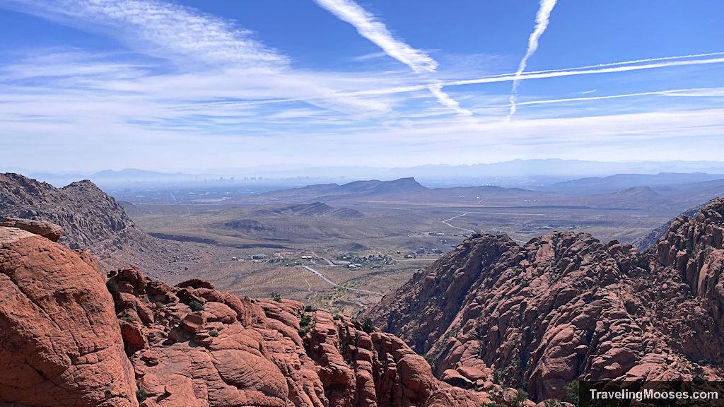
Learn more about the hike: Calico Tanks.
Turtlehead Peak
- Trail Start: Sandstone Quarry parking lot
- Mileage (round trip): 4.6 miles
- Elevation Gain: ~1,988 feet
- Average Time: 3.5 – 4.5 Hours
- Difficulty: Moderate
Turtlehead Peak is a moderately challenging hike with huge payoffs at the summit.
This 4.6-mile round trip peak trail is sure to impressive with 180-degree views of the valley below and the Las Vegas strip in the distance.
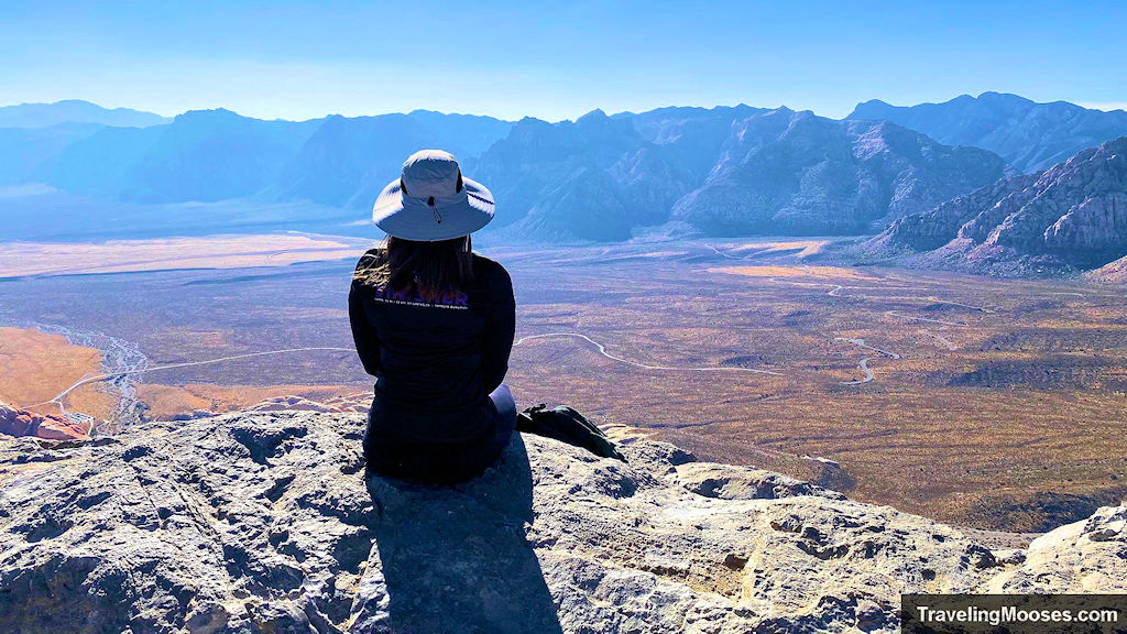
Learn more about the hike: Turtlehead Peak.
Petroglyph Wall Hike
- Trail Start: Willow Springs parking area
- Mileage (round trip): 0.2 Miles
- Elevation Gain: ~15 feet
- Average Time: Less than 30 minutes
- Difficulty: Easy
This short “hike” is primarily used to view the petroglyphs and pictographs that adorn the canyon walls.
Along the way you’ll enjoy views of the surrounding valley and the White Rock Hills. A great way to stretch your legs, learn a bit of history and soak in the wilderness area.
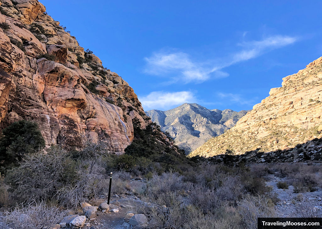
Learn more about the hike: Petroglyph Wall Trail.
Ice Box Canyon Trail
- Trail Start: Icebox Canyon parking lot
- Mileage (round trip): ~2.2 Miles
- Elevation Gain: ~500 feet
- Average Time: 1 to 2 hours
- Difficulty: Strenuous (due to boulder hopping/ light scrambling)
One of the most popular hikes in the park, this unique trail combines minor scrambling and boulder hopping as it winds its way through a canyon and dead ends into an area with a seasonal waterfall.
Go early or you’re sure to share this trail with many other hikers.
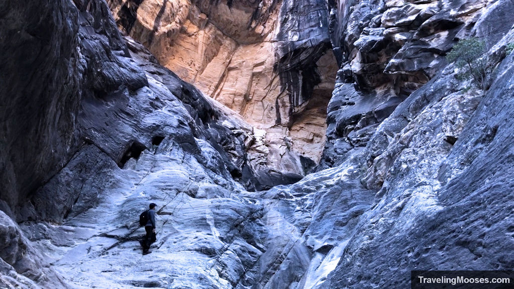
Learn more about the Ice Box Canyon Trail.
Pine Creek Canyon Trail
- Trail Start: Pine Creek parking lot
- Mileage (round trip): ~3.4 Miles
- Elevation Gain: ~525 feet
- Average Time: 2 to 3 hours
- Difficulty: Moderate
A great alternative to Ice Box Canyon if you’re looking for a bit of solitude and still crave some minor scrambling through a canyon area.
This fun hike connects several trails to end with seasonal pools of water and mini “water falls” (more like trickles of water, but fun for the desert).
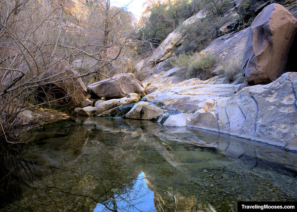
Learn more about the Pine Creek Canyon Trail.
Keystone Thrust Trail
- Trail Start: Upper White Rock Trailhead
- Mileage (round trip): ~2.4 Miles
- Elevation Gain: ~567 feet
- Average Time: 1 to 2 hours
- Difficulty: Moderate
Step back in time to experience the geological wonder of the Keystone Thrust Trail.
This 2.4 mile out and back trail is best known for its beautiful views, rich history and year-round accessibility.
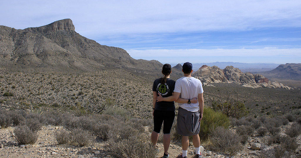
Learn why the Keystone Thrust is a geological wonder.
Calico Basin Hiking
Guardian Angel Pass
- Trail Start: Red Spring Parking Lot
- Mileage (round trip): ~3.2 Miles
- Elevation Gain: ~680 feet
- Average Time: 2 to 4 hours
- Difficulty: Strenuous
This fun hike leaves from the Red Spring parking area and takes hikers on an adventure of scrambling, discovery and epic views.
The trail has something for everyone with the opportunity to watch climbers scale the towering canyon walls, views of the Las Vegas valley and a treasure hunt to find the guardian carved into a rock wall.
While the hike is rated “strenuous” due to the minor scrambling and distance, it’s attainable for those with a reasonable amount of fitness.
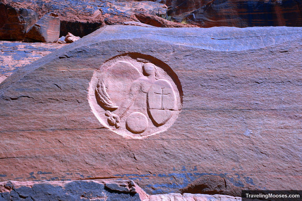
Discover the elusive guardian at: Guardian Angel Pass.
Kraft Mountain Loop Trail
- Trail Start: Sandstone Dr, Las Vegas, NV 89161
- Mileage (round trip): ~3.5 Miles
- Elevation Gain: ~613 feet
- Average Time: 2 to 3 hours
- Difficulty: Strenuous
The Kraft Mountain loop trail boasts views of Las Vegas, Turtlehead Peak and unique red and white colored sandstone hills.
The trail takes hikers around the base of Kraft Mountain after an exhilarating climb up “hell hill.” We didn’t find the climb up the hill to be too onerous.
The trail is rated “strenuous” due to a few locations on the back side of the loop requiring scrambling up (or down) a normally dry streambed (except during flash floods).
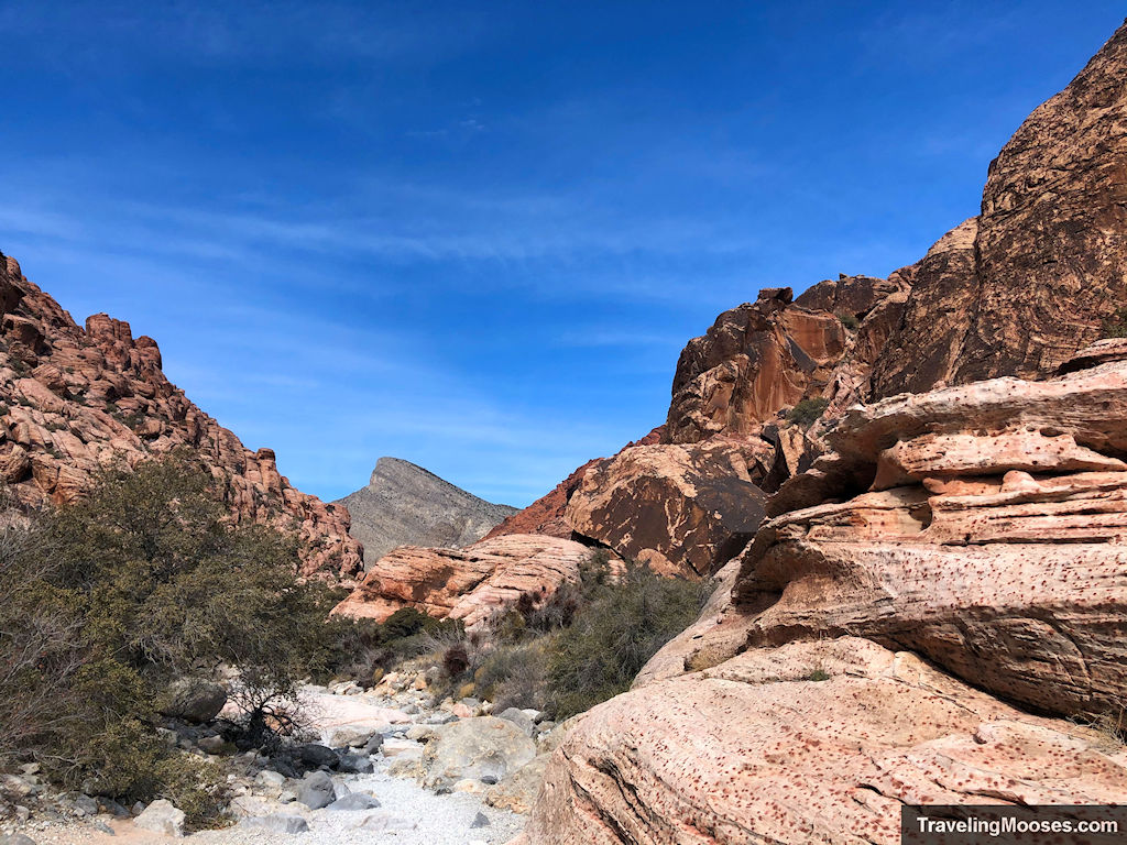
Learn more about Kraft Mountain Loop.
Upper Gateway Trail
- Trail Start: Sandstone Dr, Las Vegas, NV 89161
- Mileage (round trip): ~5.3 Miles
- Elevation Gain: ~1,712 feet
- Average Time: 2 to 4 hours
- Difficulty: Strenuous
If you enjoy solitude and scrambling, this is the trail for you.
Starting around the Kraft Mountain loop, the Upper Gateway Trail forks to the left and continues through a wash and up a dry streambed. The trail includes many dry fall areas to scramble up and dead ends into a beautiful canyon.
This out and back hike (or you can make it a loop like we did), is fun to explore.
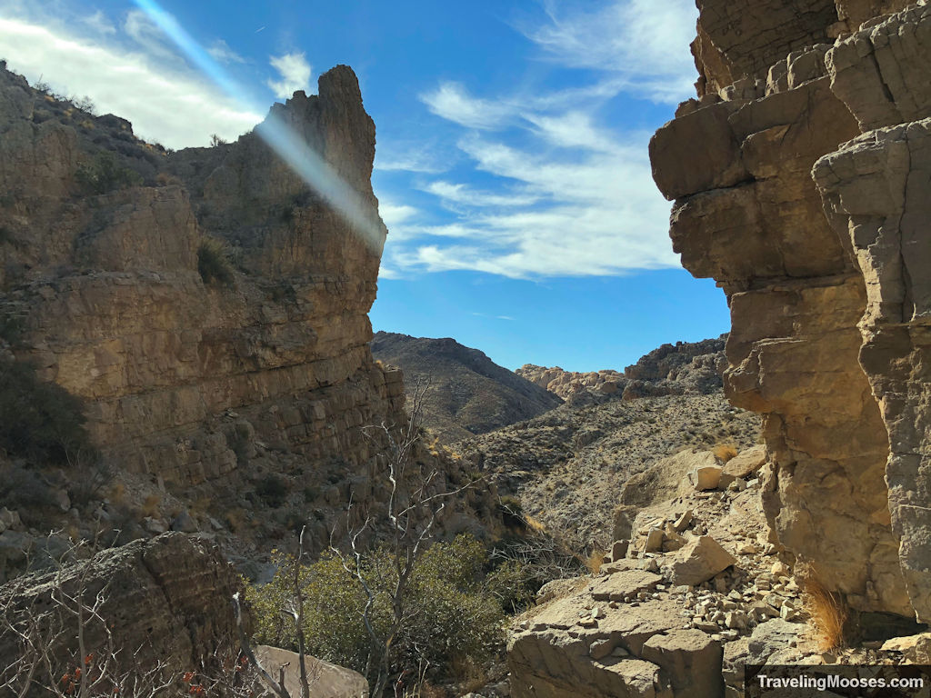
Learn more about the Upper Gateway Trail.
Practical information for visiting Red Rock Canyon
More info: Frequently asked questions about Red Rock Canyon.
When should you visit?
In general, the most favorable time to visit the park is October through April.
We have found our favorite hiking temperature under the desert sun is the mid-60s, unless the wind is blowing, then the low-70s is ideal.
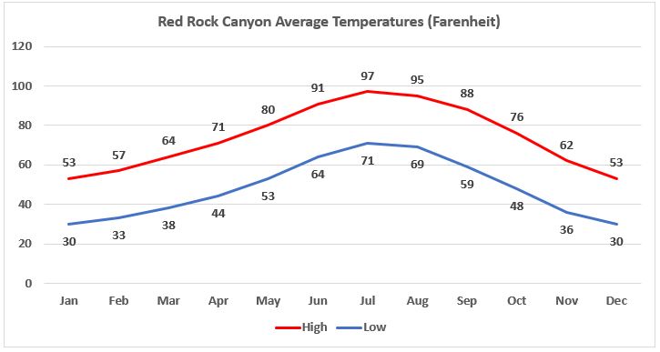
During the summer months, temperatures can soar into the high-90s and it is recommended to conclude any hiking by 10 a.m.
If you’re intent on summer hiking, consider visiting the Mt. Charleston area where it’s usually 20 to 25 degrees cooler than Vegas.
Check out our hiking guide for Mt. Charleston here.
If your main focus of visiting the park is the visitor center, scenic drive and viewpoints, the park is great to see year-round.
Make sure you bring lots of water and snacks whenever you visit, as there are no services beyond the visitor center.
What are the hours of the scenic drive?
The hours of operation vary depending on the time of year.
Note: During times the fee area is open, the ranger station will always be staffed, meaning you cannot enter the scenic loop free of charge.
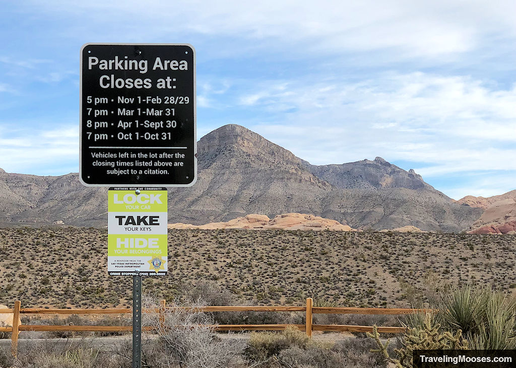
Fee Area Hours of Operation
- April through September: 6 a.m. – 8 p.m.
- October and March: 6 a.m. – 7 p.m.
- November through February: 6 a.m. – 5 p.m.
Vehicles that are left in the fee area after the park closes are subject to ticketing and towing.
What is the cost to visit the Red Rock Canyon fee area?
The Red Rock National Conservation area is a fairly large area, but most visitors use the fee area of the park. This area includes the 13-mile scenic drive and several of the most popular hikes in the area.
Usage Fees: $20 / car or truck, $45 for annual pass or $80 for an America the Beautiful National Parks pass. (Pricing subject to change)
Note: Reservations are required during high season (October 1st through May 31st from 8 a.m. – 5 p.m.)
If you enter the park prior to 8 a.m., you don’t need to have reservations, but you’ll still need to have a park pass to enter.
Is Calico Basin free to visit?
As of December 2022, Calico Basin is still free to visit.
There is discussion by BLM to make this portion of Red Rock Canyon a fee area in the future.
The public comment period ended on Dec 8th, 2021, but a decision is still pending.
Safety Information when hiking in Red Rock Canyon
The Red Rock Canyon area is considered the desert and there are inherent dangers in the park that visitors should be aware of. Use caution and take appropriate steps to keep yourself safe while visiting.
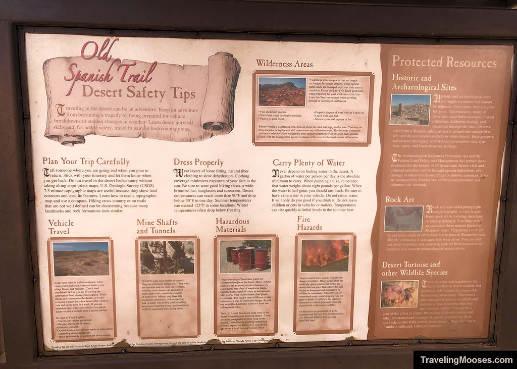
The park recommends the following:
- After desert rain, do not climb sandstone for 24 hours.
- Flash flooding may occur during/after desert rain.
- Stay on designated trails.
- Cell phone service is unreliable.
- Do not disturb or feed wildlife.
- Bring food/water, hiking shoes/boots, hat/sunscreen, and check in/out with family or friends.
Learn more about what we do to keep safe in the desert.

