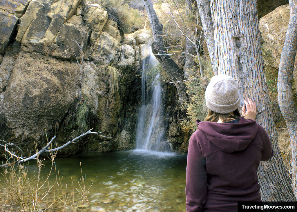
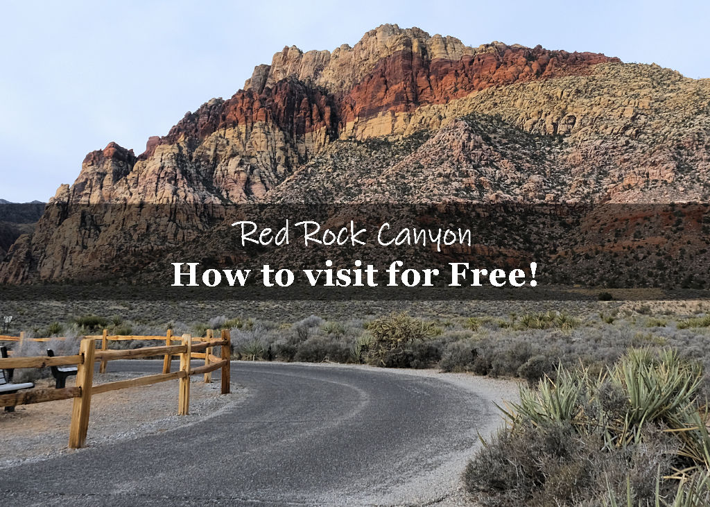
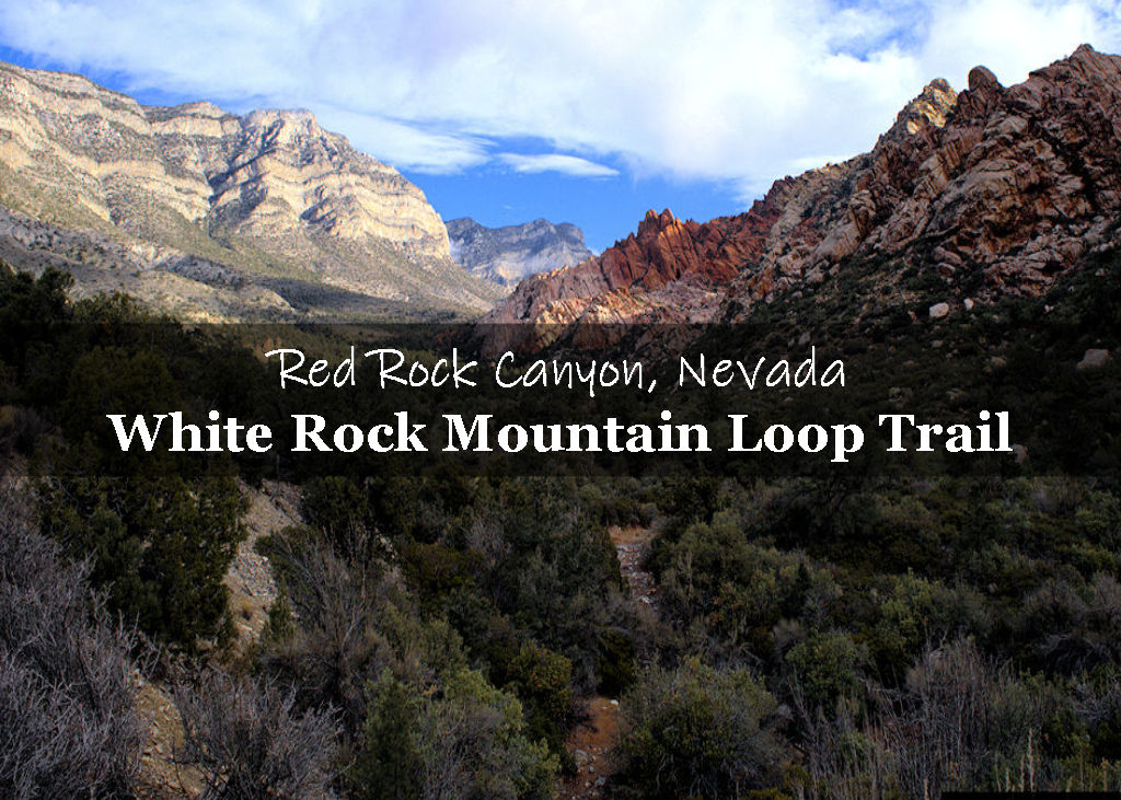
First Creek Canyon trail is an enjoyable trek across the desert towards towering red and white sandstone rock formations. In the wet season, hikers can enjoy a hidden waterfall a short distance off the main trail.
In this guide:
- Trail Maps
- First Creek Canyon Trail Stats
- What to expect on the trail
- Is the trail worth it?
- Practical info for your trip
First Creek Canyon Trail Stats
| Trail description | Out and back |
| Location | First Creek Trailhead, NV-159, Las Vegas, NV 89161 |
| Parking lot | Las Vegas, NV 89161 |
| Round trip mileage | ~4.3 Miles (including the waterfall) |
| Average time | ~2 Hours |
| Difficulty | Easy/ Moderate |
| Elevation gain | ~484 feet |
| Elevation Max | 4,126 feet |
| Elevation Min | 3,642 feet |
| Best time to visit | October through May |
| Amenities at Trailhead | Information sign board |
| Entrance Fee | Free |
| Rating | 3.5 Mooses |
Trail Maps
Interactive map of our route including pictures along the trail:
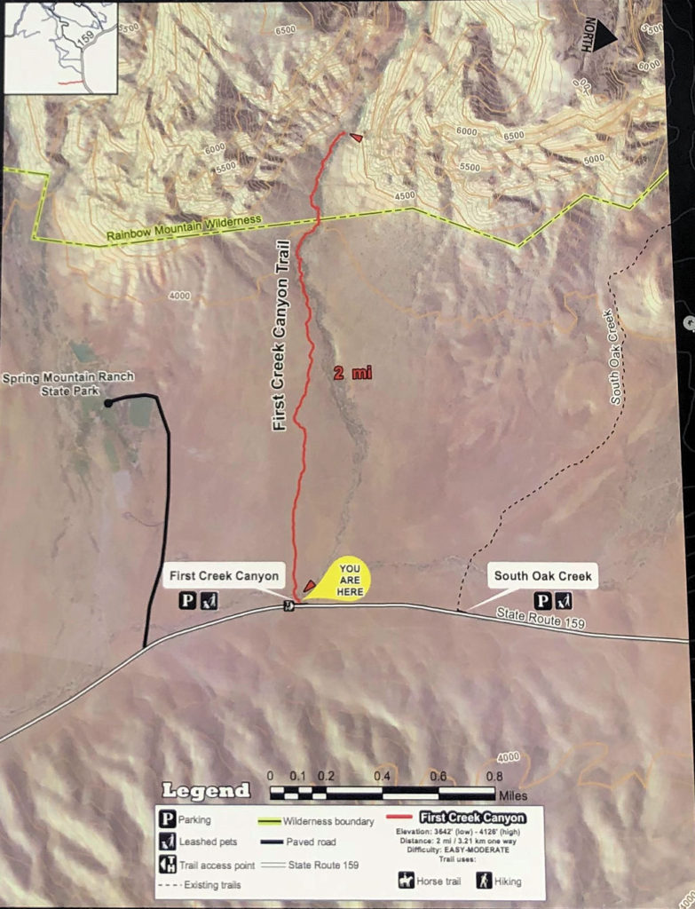
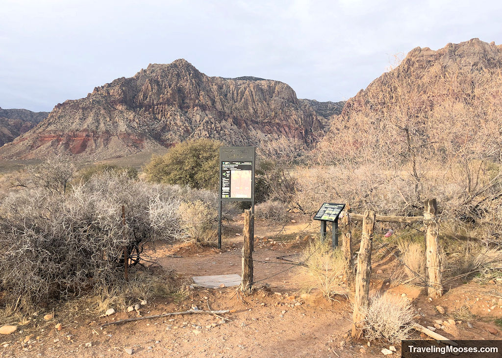
Map included at the First Creek Canyon Trailhead.
What to expect on the trail
We arrived at the trailhead on a Saturday morning just before 8 a.m. There were already at least ten vehicles parked at the trailhead.
Since the First Creek Trail is not within the paid area of the scenic loop at Red Rock Canyon, it tends to be quite popular.
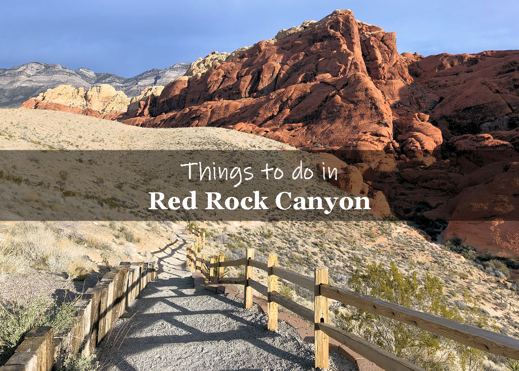
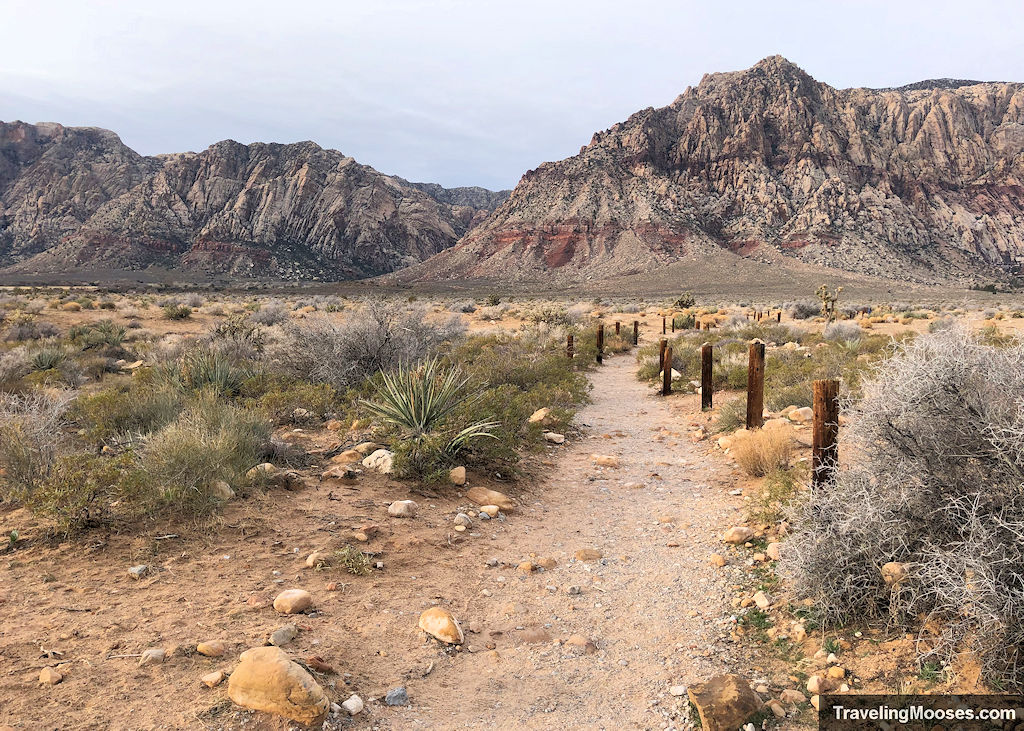
The trail starts out wide and flat, with mostly gravel underfoot.
The path is lined with wooden beams that look like they belong at a beach.
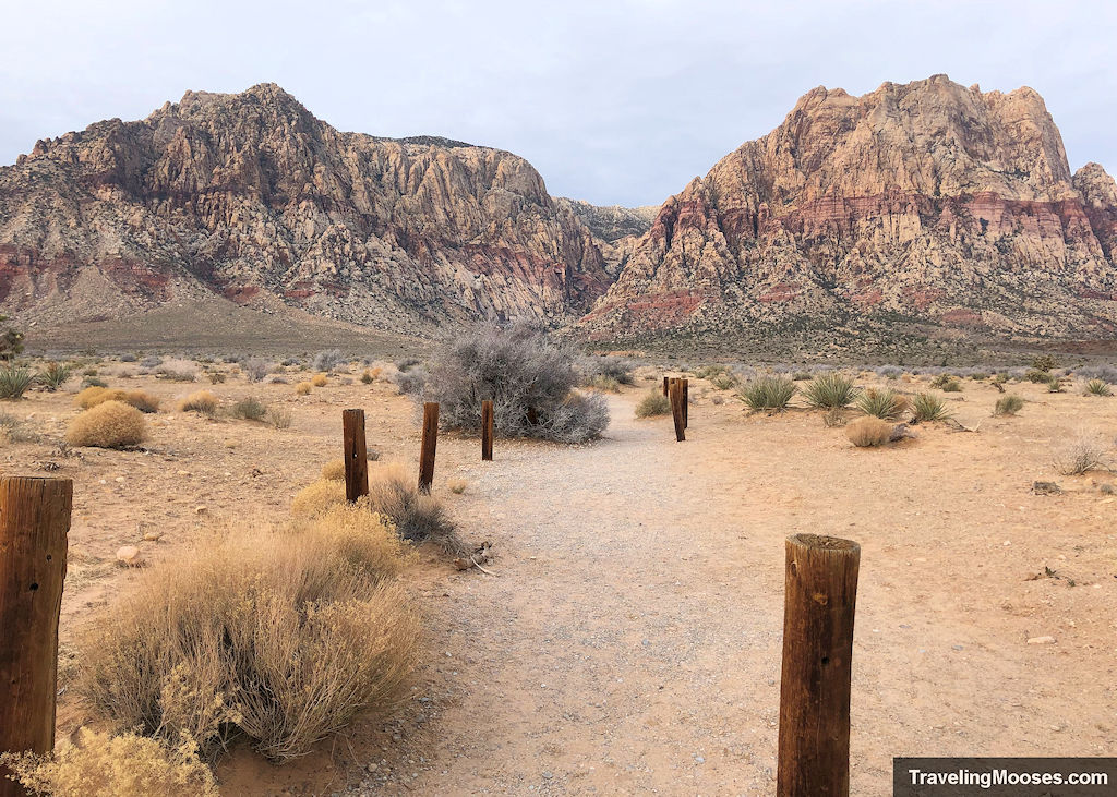
If it wasn’t for the rock formations in the distance, this part of the trail would be rather boring. It’s essentially a flat gravel path leading across the desert. This becomes more apparent on your return trip.
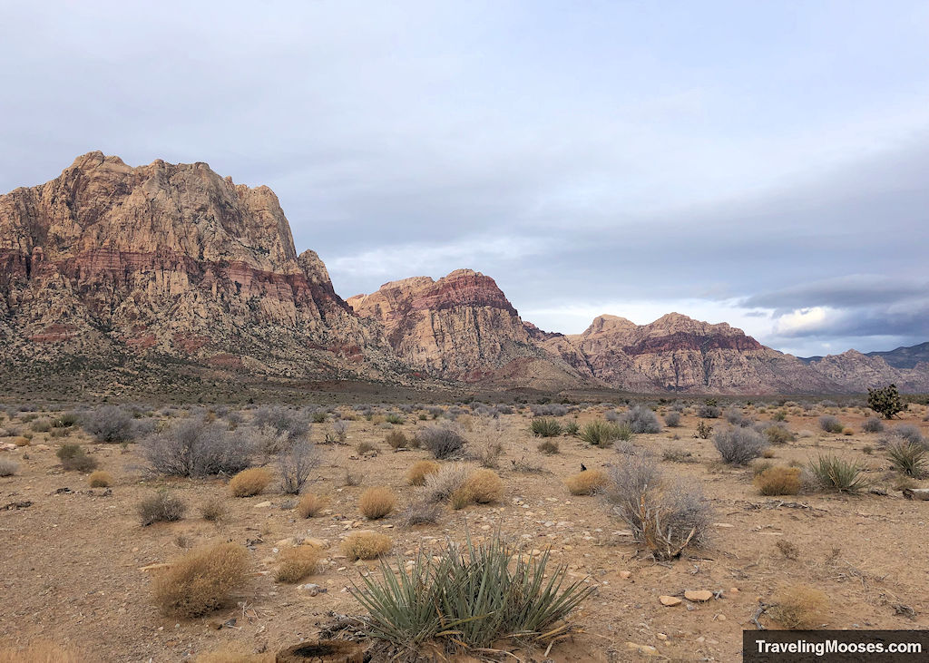
Luckily, the gorgeous red and white sandstone mountains save the day and we were determined to find the elusive (and seasonal) waterfall.
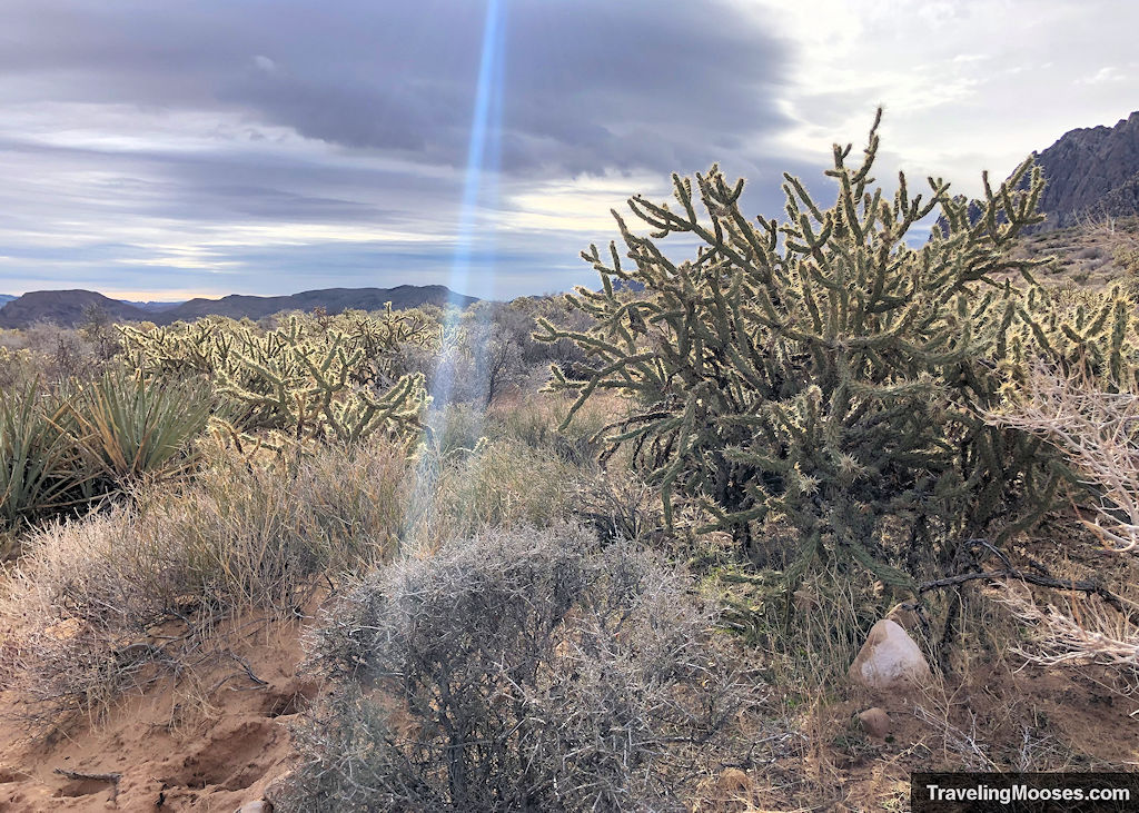
The trail winds past a multitude of different cacti and if you’re incredibly lucky, you might spot a burro in the area (we didn’t).
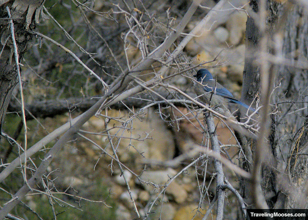
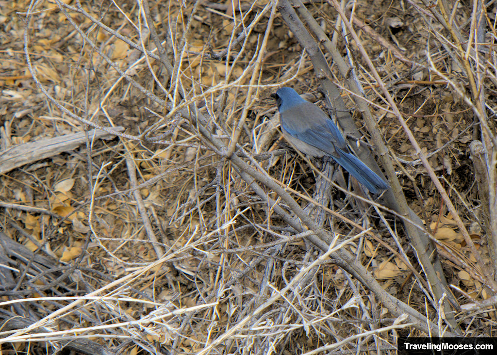
You may also see some wildlife on the trail such as these Western Scrub Jay.
For the first mile or so, the path is mostly gravel, with a few areas of larger rocks strewn along the way.
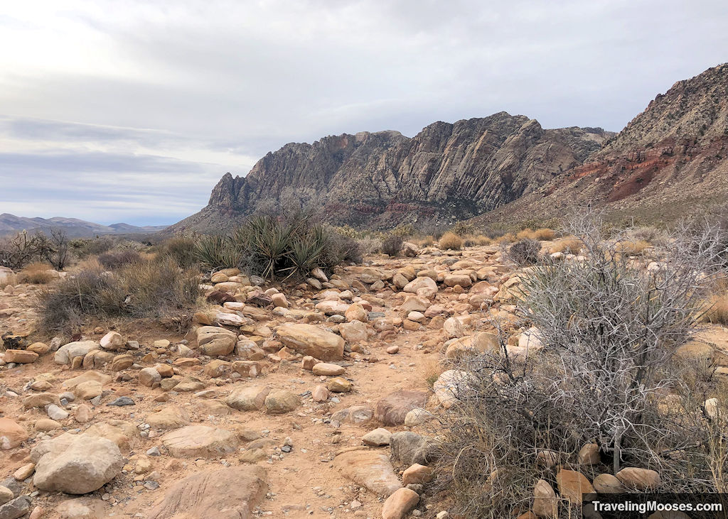
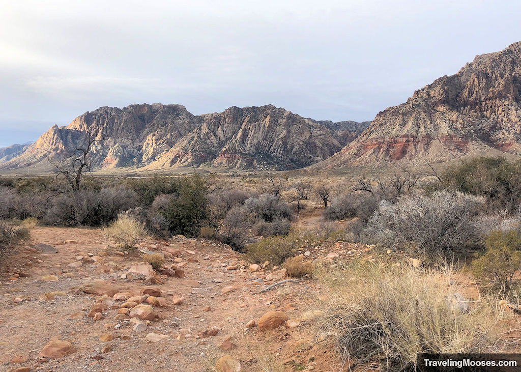
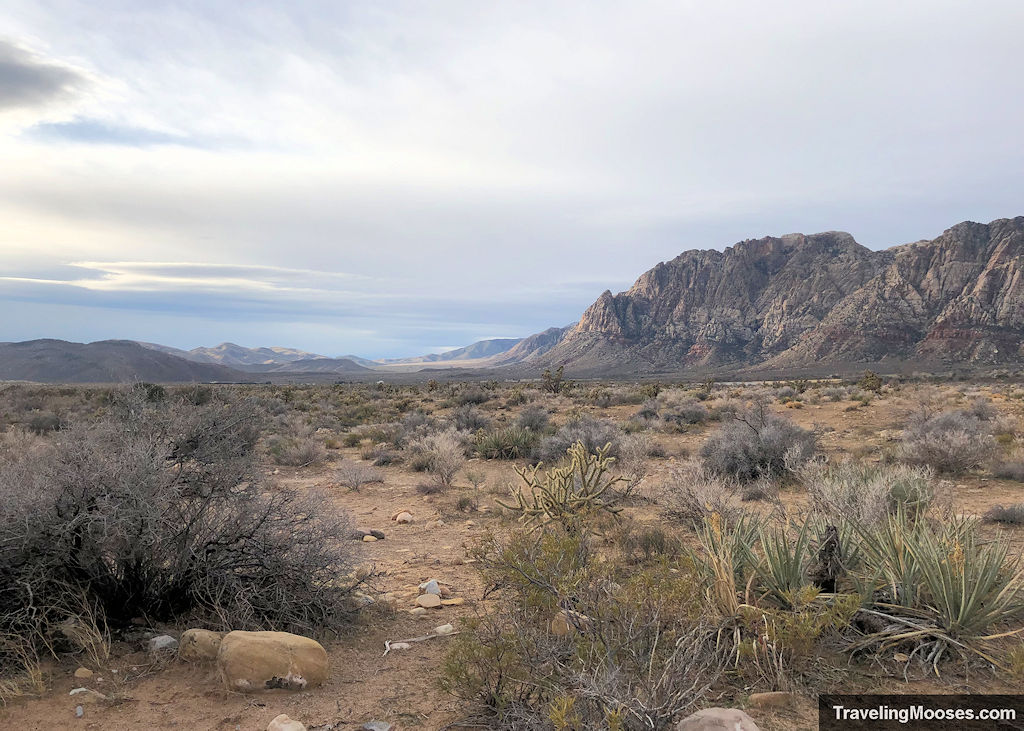
The path is well marked and easy to follow at this point.
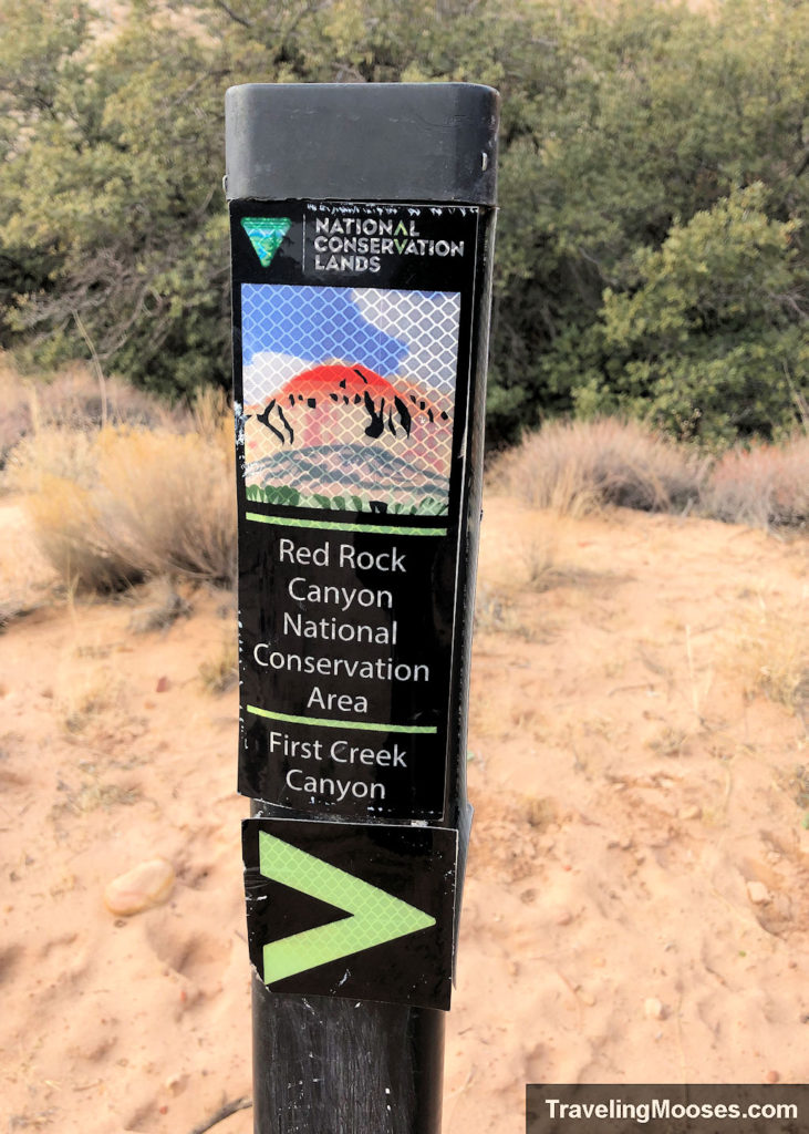
About a mile in, you’ll notice a fork in the trail, with a sign pointing you to the left. To the left is the official First Creek Canyon trail and to the unmarked right fork, you’ll head towards the hidden waterfall.
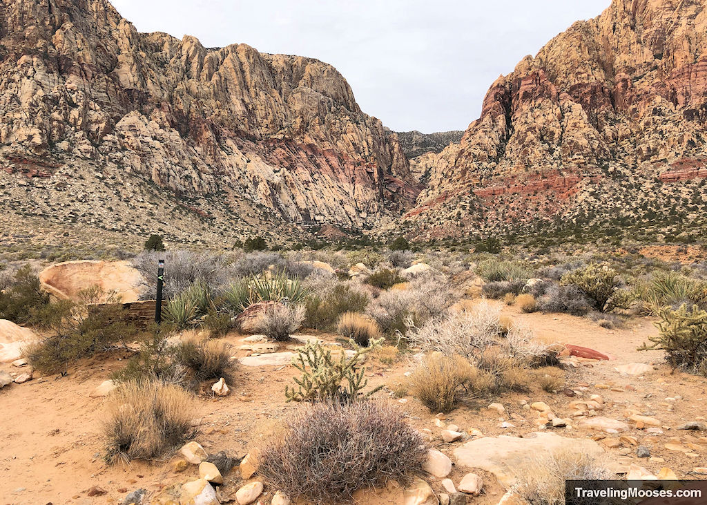
Continue down the path to the right until you see a large tree.
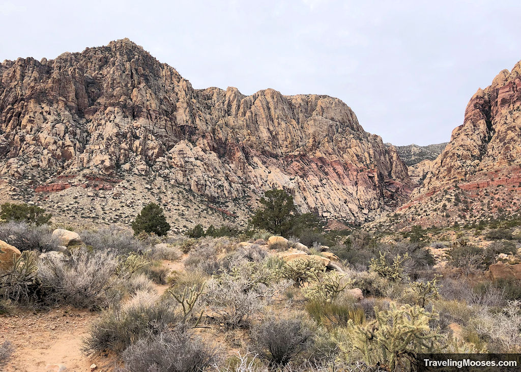
Before you reach the tree, take a sharp right and head down to the falls area. If the waterfall is running, you’ll hear it at this point.
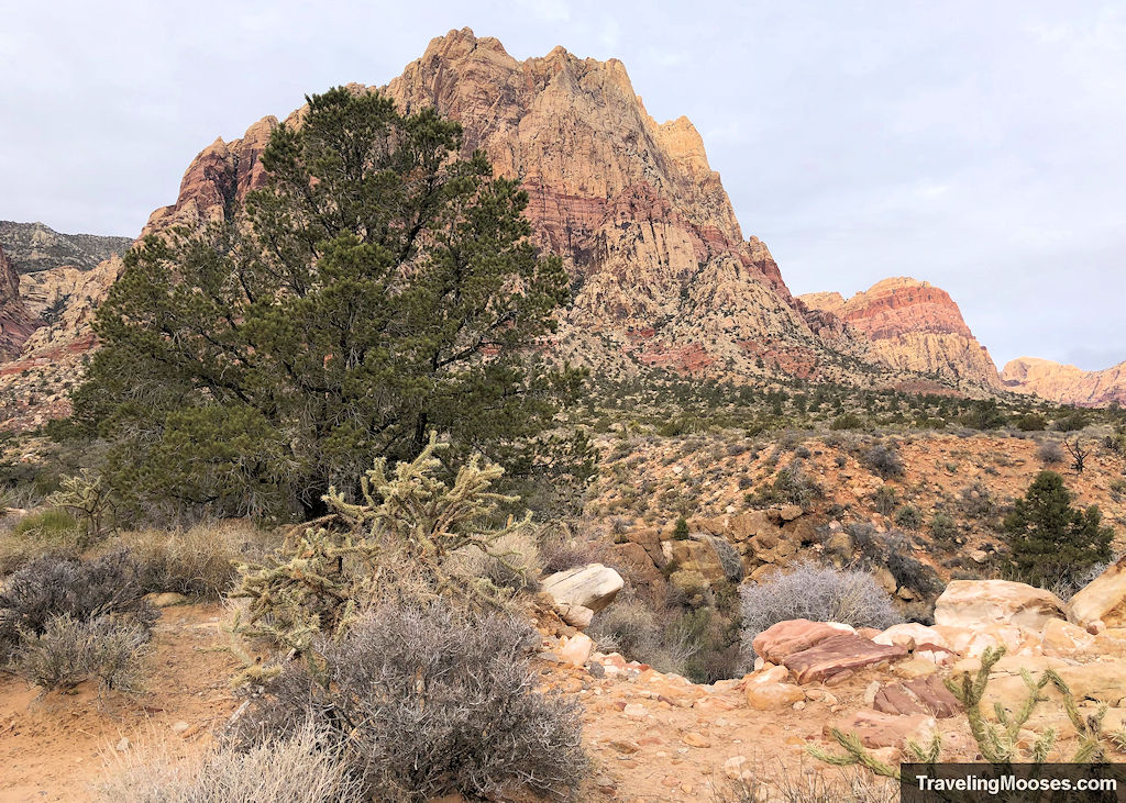
Watch your step as you head down.
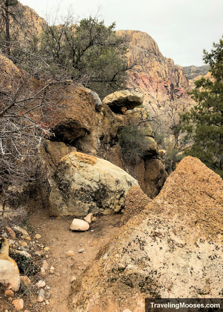
Rounding the bend, you’ll catch your first glimpse of the falls.
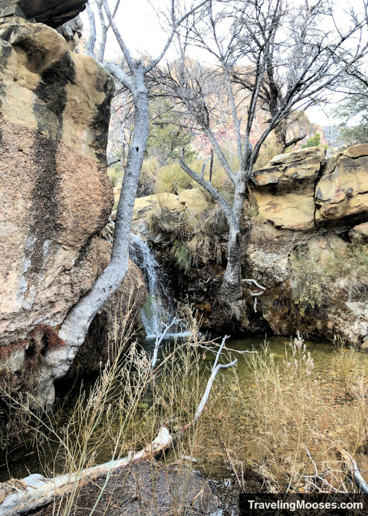
When we reached the bottom, we found we had to hop over some rocks and across a stream to get to the best viewing area of the falls.
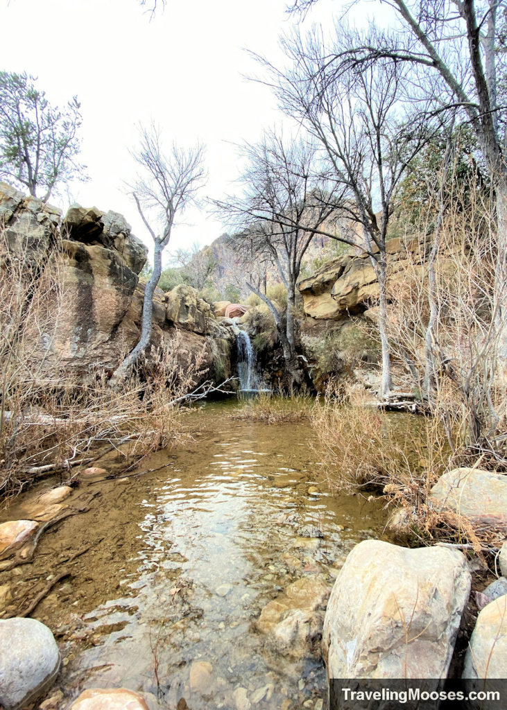
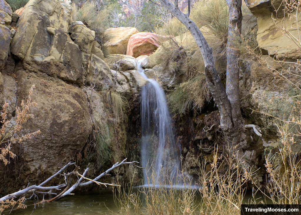
Depending on the water level, this may require getting wet.
When we visited, we mostly had the falls to ourselves. It was quite magical.
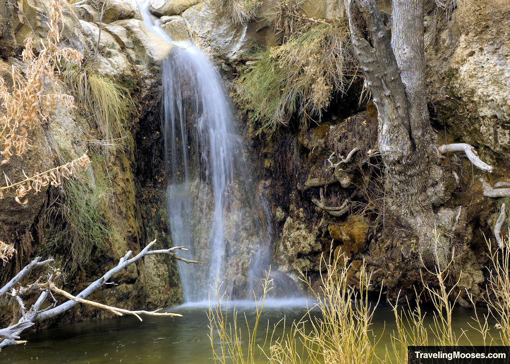
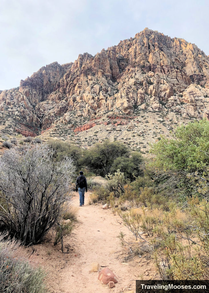
We left the waterfall area and continued towards Mount Wilson and the end of the First Creek Trail.
The path from the falls does intersect back with the main trail without having to backtrack. In fact, you’ll find many side “burro” trails throughout the area that you can use.
As you continue on the trail, there are several areas the First Creek stream is accessible. We stopped along the way to enjoy the water views.
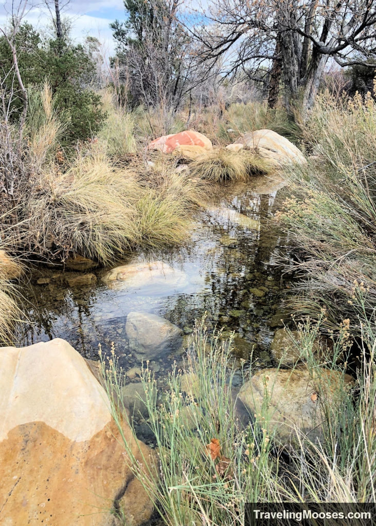
The last stop on the First Creek Canyon trail is the “grotto.” This can be accessed off the right-hand side of the trail as you near its end.
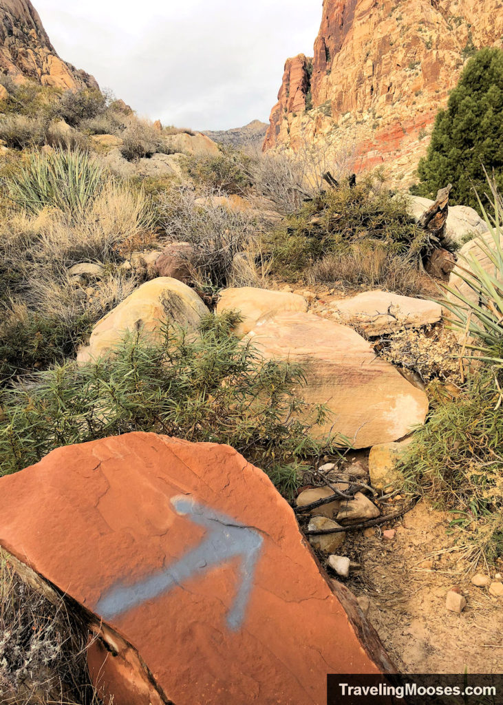
Follow the trail markers towards Mt. Wilson and the canyon in front of you.
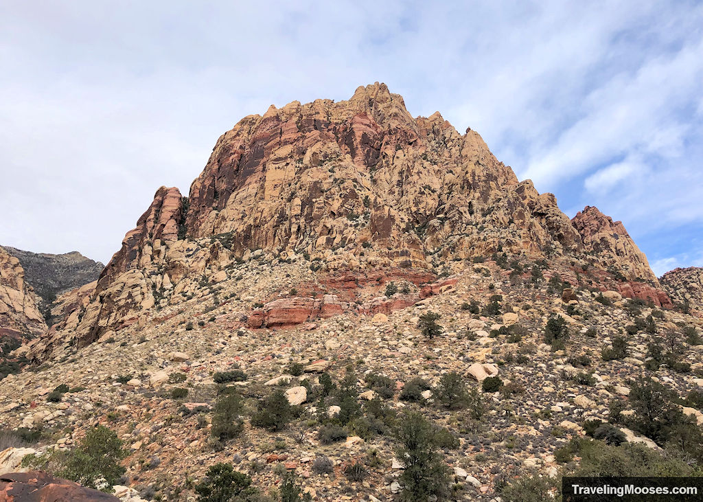
View of Mt. Wilson.
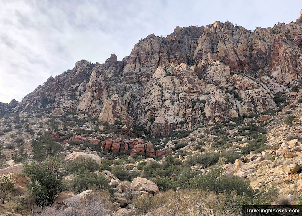
We found this portion of the hike more “trail” like and less of a gravel path. The elevation is a bit higher and you’ll be closer to the rock formations.
Keep your eyes peeled on the right-hand side of the trail for some large multicolored red rocks. When you see them, you’ll have made to the “grotto” area.
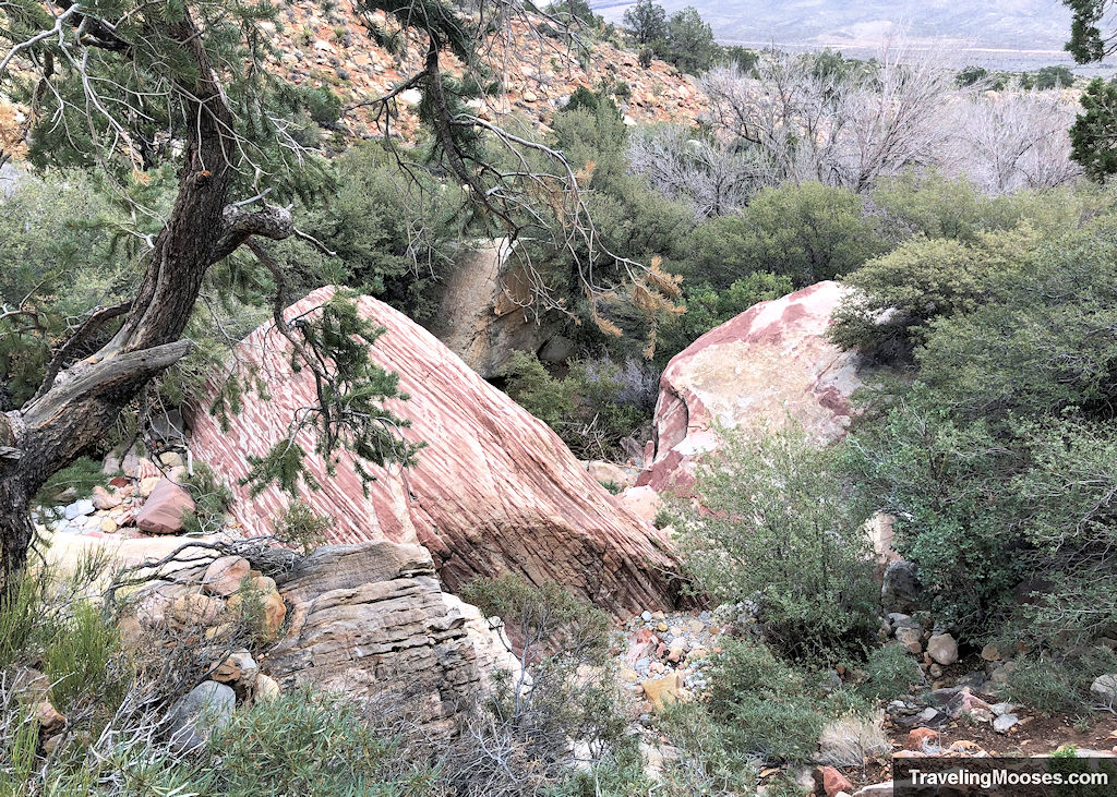
It is often dry, but you may find some water here in the right time of year.
Just past the grotto area, you’ll enter in the canyon with Wilson’s Peak on your right. This is official end of First Creek Canyon trail.
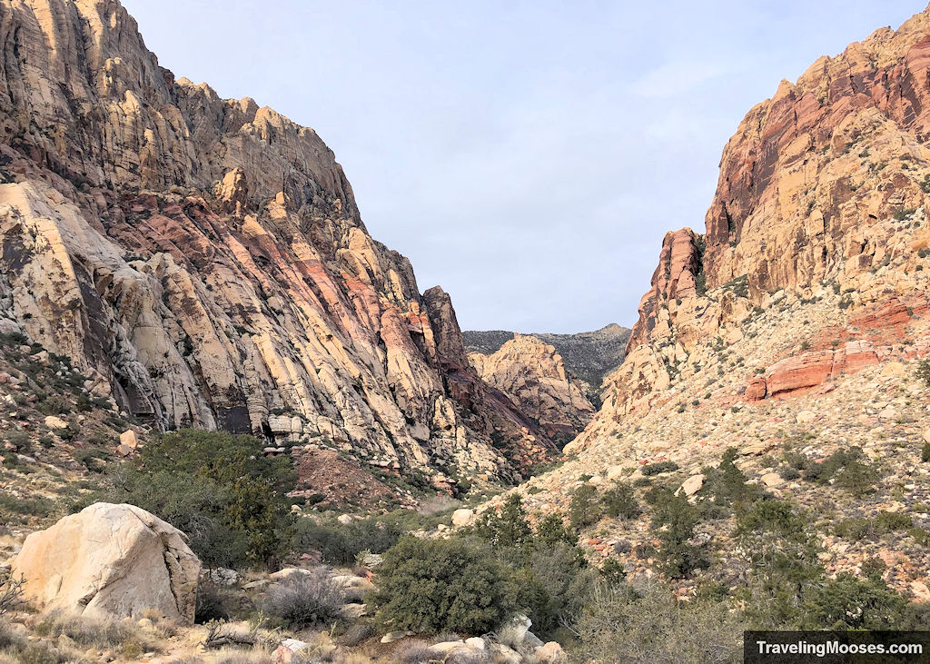
Hikers wishing to continue onto Mt. Wilson, or just explore some of the rock formations may opt to go further. Otherwise, turn around and retrace your steps back to the parking area.
Here’s a few photos we took on our return trip.
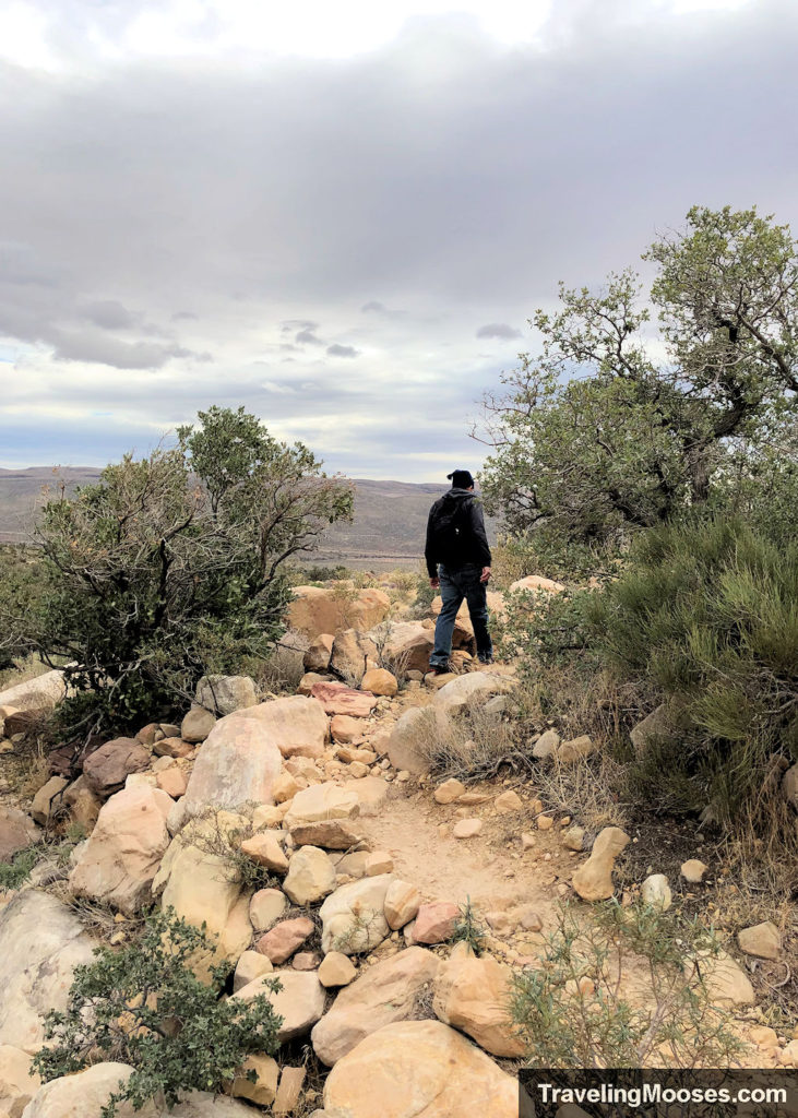
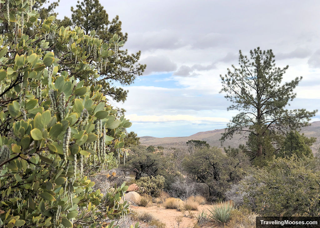
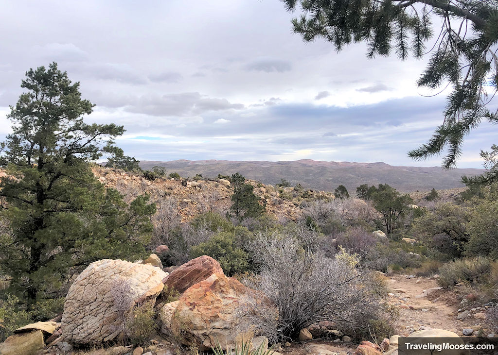
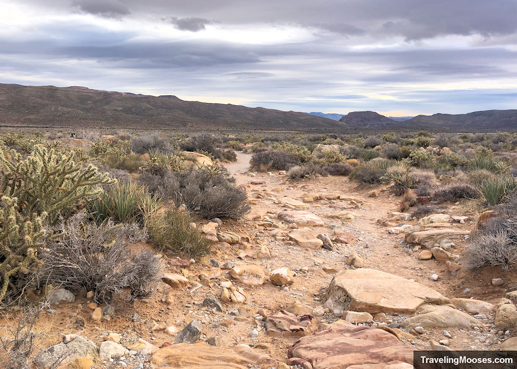
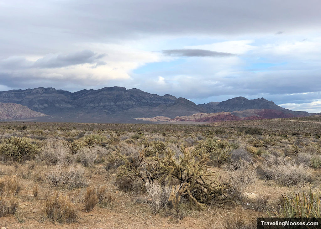
We definitely felt the walk towards the mountains were far more scenic than the return trip.
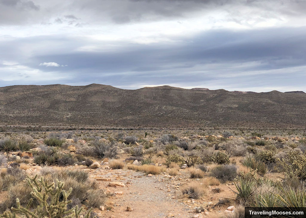
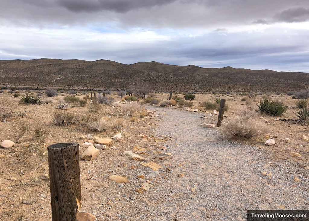
When we arrived back at the parking area around 2 hours later, it was nearly full. We’re glad we got an early start.
Is hiking First Creek Canyon trail worth it?
Rating: 3.5 Mooses

What we liked:
- The hidden waterfall about one mile into the trail was unique and tranquil.
- The red sandstone mountains of Red Rock Canyon never disappoint.
- The landscape views were quite enjoyable, especially when the sunlight peeked through the clouds.
What we didn’t like:
- The trail was quite busy on our return trip which included off-leash dogs and hikers blaring music on their speakers.
- There was a large amount of animal waste on the trail from inconsiderate pet owners and wild burros (but we’ll give the burros a free pass).
- The trail signage could be better, along with the parking off NV-159.
Verdict: The waterfall made this hike worthwhile. Unfortunately, it’s seasonal and not likely to be there unless you get lucky with recent storms. If there was no waterfall, we would rate this hike a 2.5 or maybe a 3. The high crowds and general boringness of the first part of the trail, along with inconsiderate pet owners makes this one we wouldn’t repeat.
Practical info for your trip
Current trail conditions
- This trail is not within the paid area of the Red Rock Canyon Scenic loop; however, it may be useful to know if anything is happening at the park. You can also check out their webcam. More info here.
- Check Alltrails for recent trail conditions and if you want to use it for navigation. We have no affiliation with them, but use their paid version for all our hikes.
- Check the local weather for temperature forecasts.
What to bring
Be sure to check the weather conditions and pack appropriately. This is what we brought for this hike:
Standard Gear:
- The 10 Essentials. These are a must for us on every hike.
Special Items of note:
- Hiking Boots or closed toe shoes – A lot of the trail is gravel, but there are some patches of large rocks. If you’re going to reach the waterfall, you may have to jump across some rocks to get the best view. We recommend wearing either hiking boots or trail shoes with good grip on them.
- Clothing – Be sure to bring appropriate clothing for rapidly changing conditions. Weather can change extremely fast, especially during monsoon season.
- Water / Snacks – There is no running water available at the trailhead. Bring plenty of water (especially in the hot summer months) and extra snacks.
- Navigation – We use Alltrails (no affiliation) on all our hikes. While this is an “out and back” hike in a fairly straight line, we were happy to have the software to find the waterfall and grotto area.
Parking
There is a long narrow parking lot directly off the side of NV-159 (on the right-hand side as you’re traveling west). It can probably hold 30-40 cars.
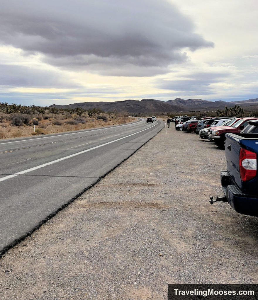
We highly recommend backing in the spot (if you can do so safely), as it’s much easier to reenter traffic on the highway.
Trailhead Amenities
There are no amenities at the trailhead for this hike other than a sign board that gives trail information.
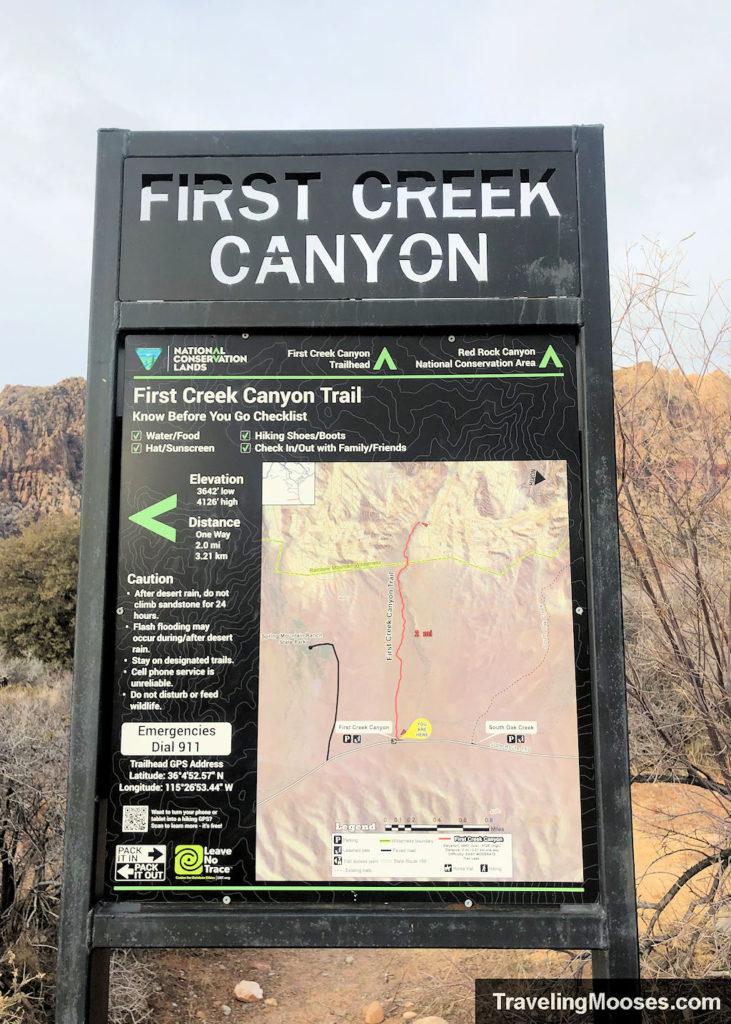
Trail Warnings
- After desert rain, do not climb sandstone for 24 hours.
- Flash flooding may occur during/after desert rain.
- Stay on designated trials.
- Cell phone service is unreliable.
- Do not disturb or feed wildlife.

