Located near the scenic loop of Red Rock Canyon, Wilson’s Pimple Loop trail is a 4.57-mile round trip hike located outside the fee area.
The trail boasts large red sandstone mountains, a seasonal creek and the chance of wildlife sightings.
In this guide:
- Trail Map
- Wilson’s Pimple Loop trail stats
- What to expect on the trail
- Is the trail worth it?
- Practical info for your trip
Wilson’s Pimple Loop Trail Stats
| Trail description | Loop |
| Location | Mt. Wilson’s Pimple |
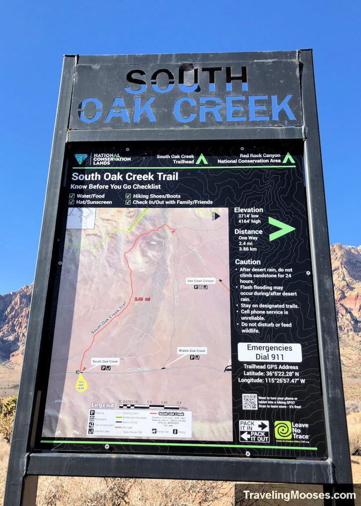
| Parking lot | South Oak Creek Trailhead |
| Round trip mileage | ~4.57 miles |
| Average time | ~2 hours |
| Difficulty | Easy/Moderate – Due to distance and uneven ground. There is no scrambling, however the trail is not well defined on the back side of the mountain. |
| Elevation gain | ~500 feet |
| Best time to visit | October through April |
| Amenities at trailhead | Parking, trail information sign, no restrooms |
| Entrance Fee | Free |
| Rating | 3.0 Mooses |
Trail Map
What to expect on the trail
This trail is a popular hike as it’s outside the fee area of the scenic loop. We arrived at the trailhead just before 8 a.m. on a Saturday hoping to beat the crowds.
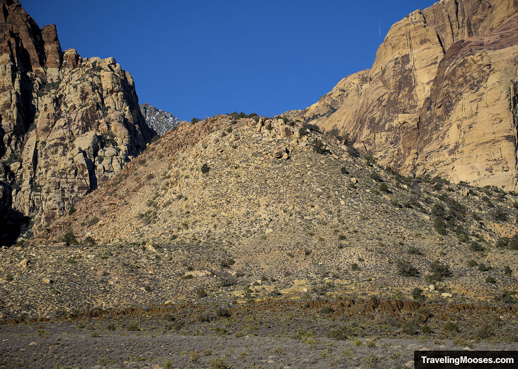
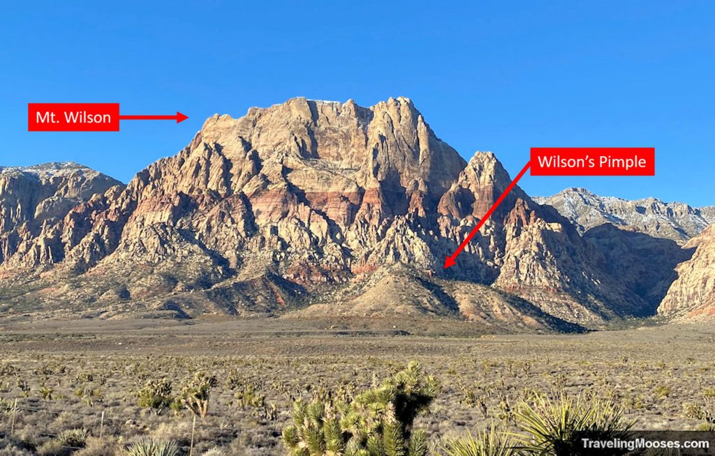
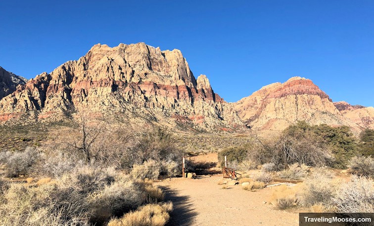
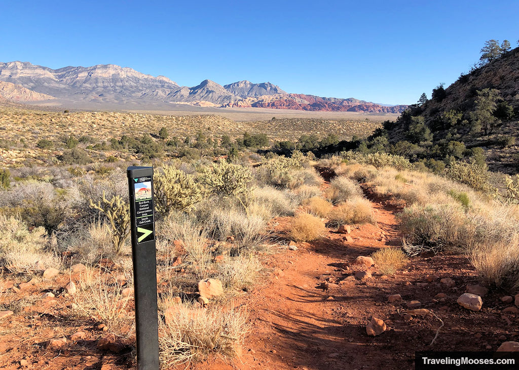
The trail starts out wide, flat and mostly free of rocks. It heads straight towards Mt. Wilson and the other red sandstone mountains towering besides it.
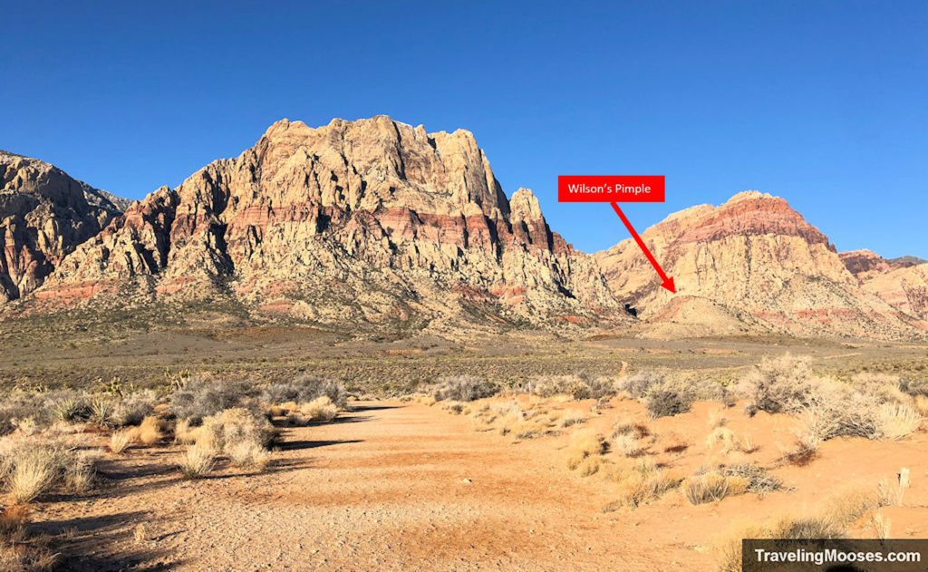
You will see immediately see the destination, Wilson’s Pimple, straight ahead and slightly to the right.
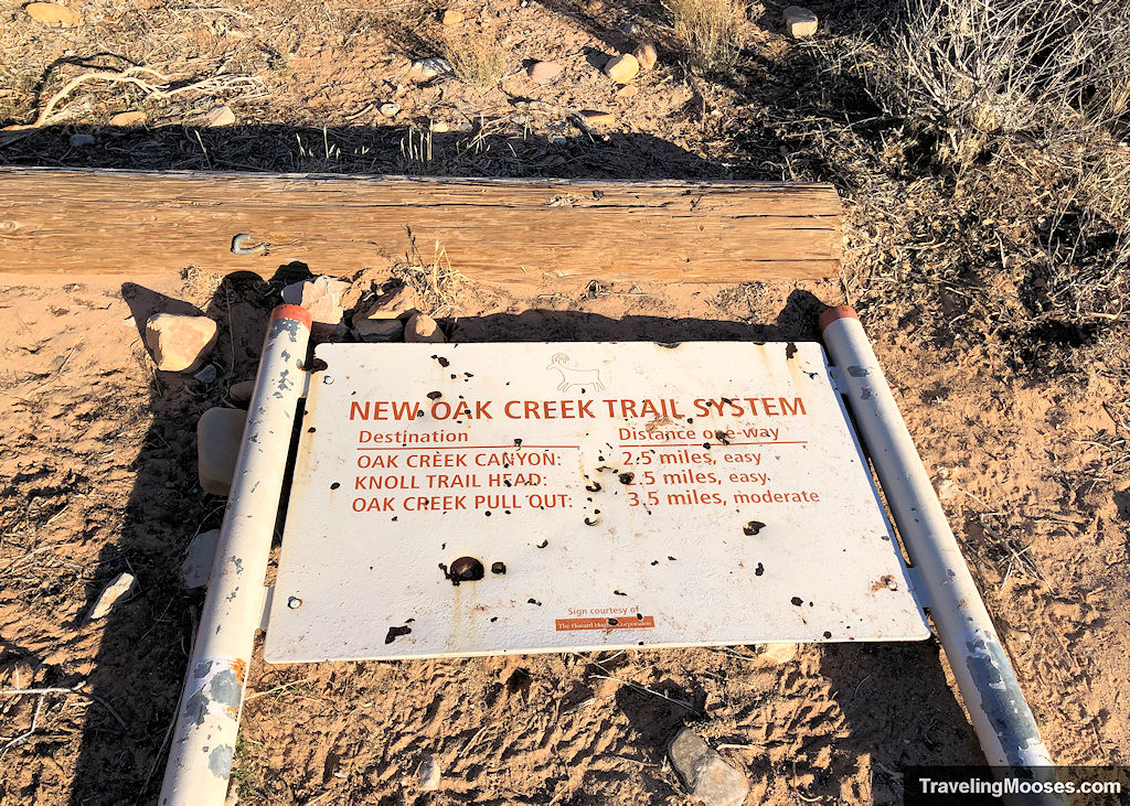
Not far down the trail, we noticed a downed trail sign.
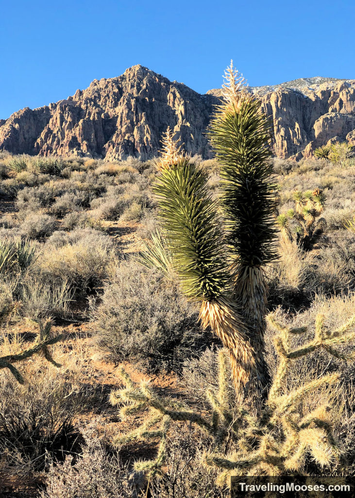
Along the route, we enjoyed views of the mountains and the occasionalJoshua tree dotting the landscape.
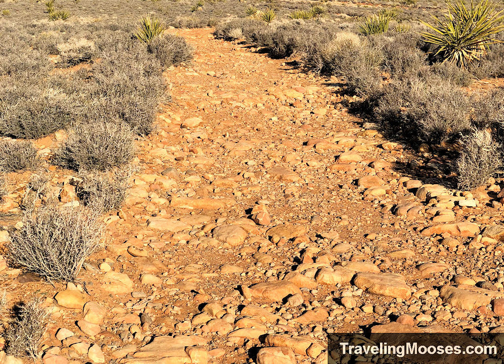
The path transitions from smooth to rocky quite quickly. We found this quite annoying as we spent more time watching where we stepped rather than enjoying the views.
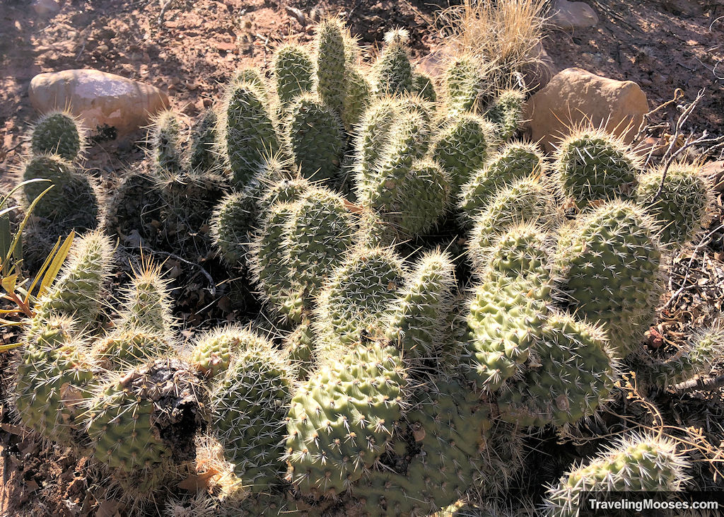
Keep your eyes peeled for various types of cacti as you walk, like these prickly pears.
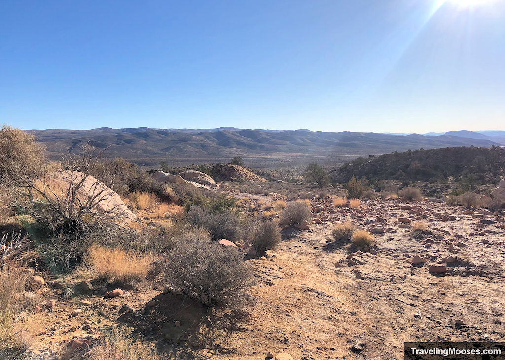
Looking back towards the NV-159 and the parking area.
The rocky path finally smooths out and becomes more trail like as it approaches Mt. Wilson and the pimple.
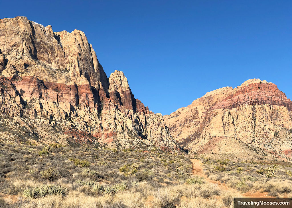
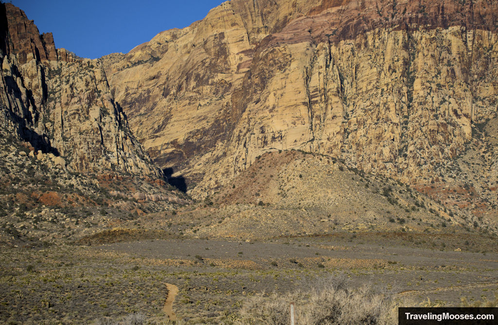
The views are quite remarkable as you get close.
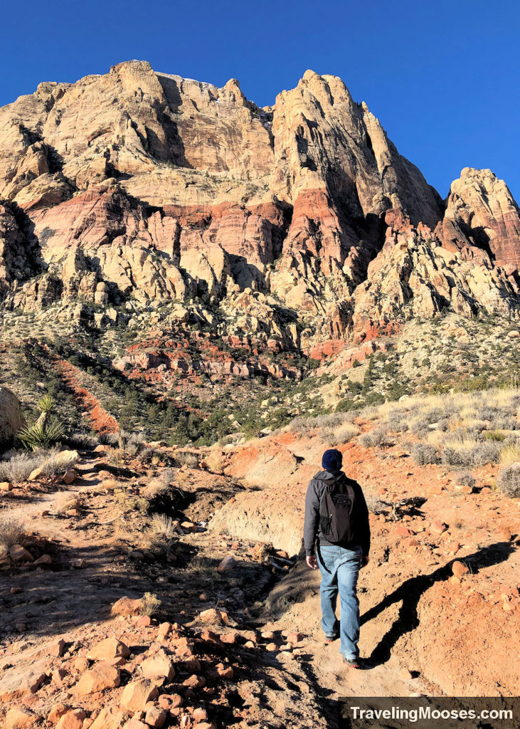
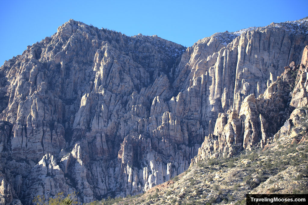
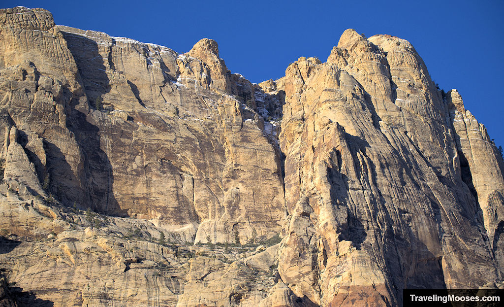
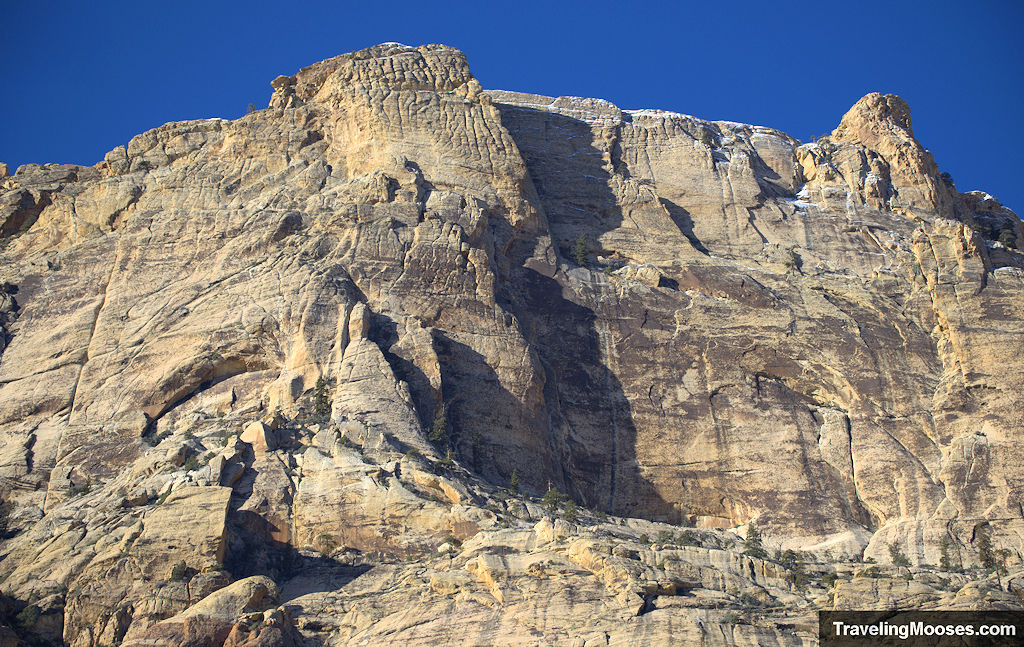
After enjoying the tall rock walls of Mt. Wilson and wondering if we could spot any climbers (we didn’t), we reached the beginning of the most scenic part of the trail.
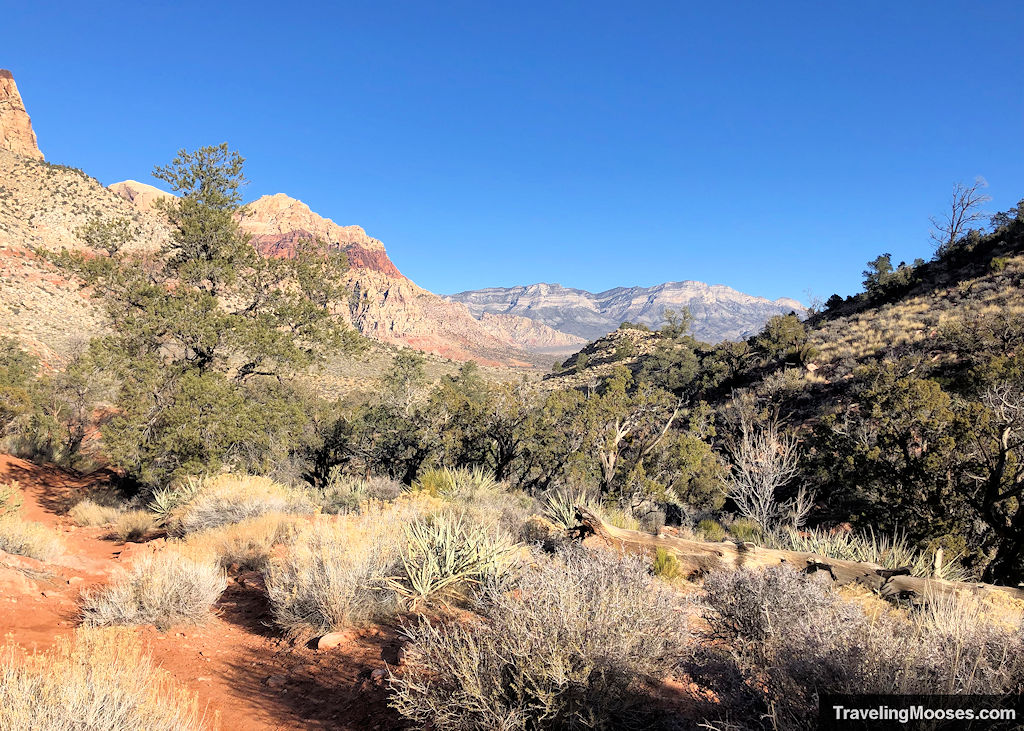
We opted not to summit the pimple, but if you’re interested, the image below shows where the turnoff is (at least according to Alltrails). We also looked at the google maps image and it does appear to have a trail that winds up.
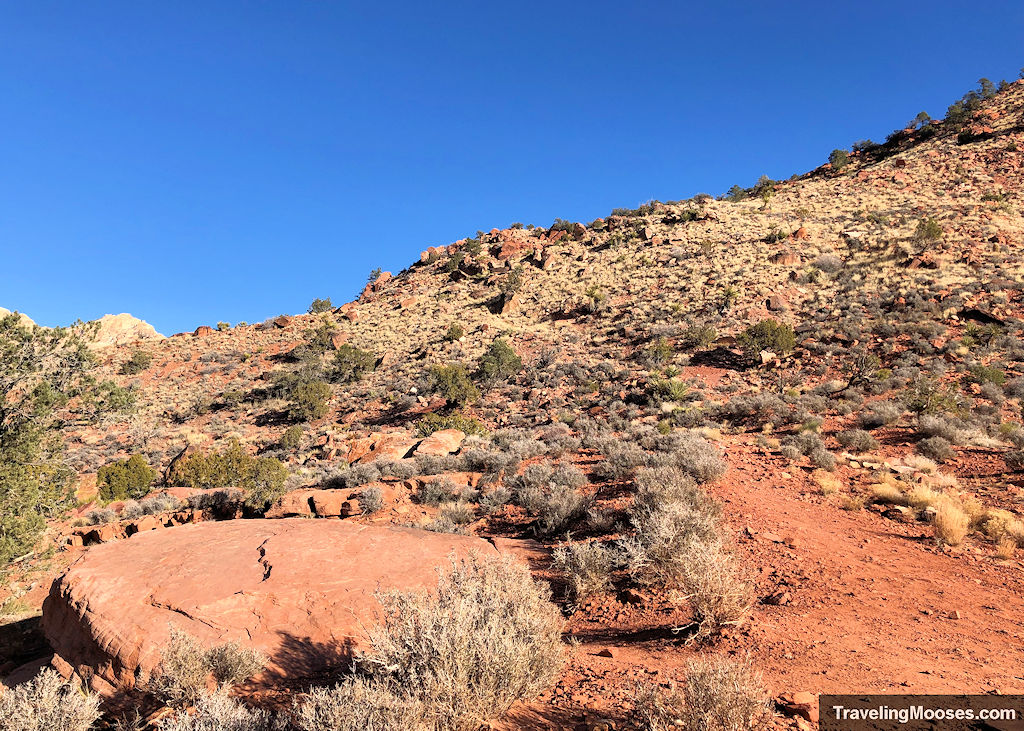
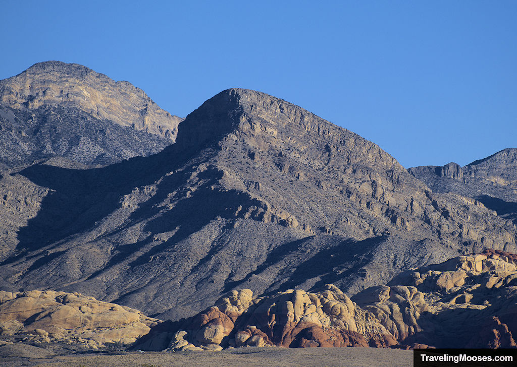
A little further down the trail, you’ll come to a sign and a trail fork. Take a right (if you’re going clockwise) to head around the backside of the loop. You’ll be rewarded with views of Calico Tanks and Turtlehead in the distance.
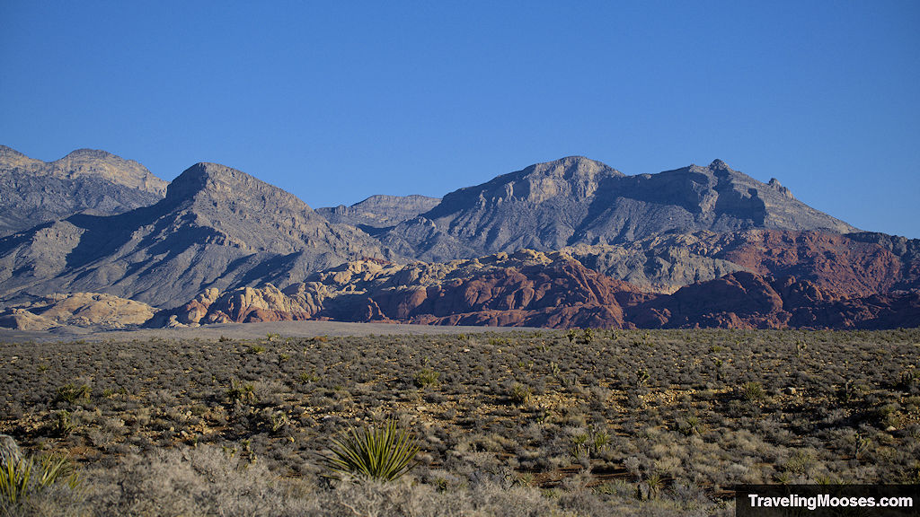
If you’re up for a challenge, we highly recommend climbing up Turtlehead, it was one of our favorite hikes in the area.
Learn more: Turtlehead Peak
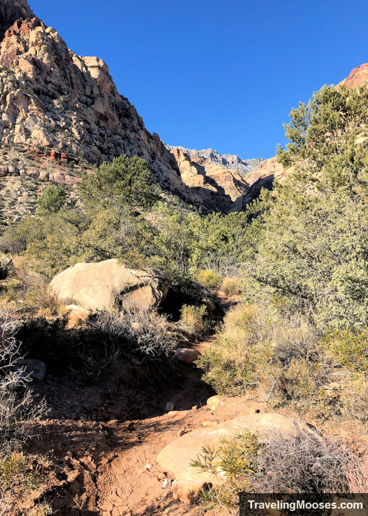
While the back part of the loop is the most scenic, it’s also the most confusing part of the trail. We found ourselves going off trail several times and using our navigation software to get back on track. The good news is as long as you keep Wilson’s Pimple to your right (if you’re going clockwise), we felt it would be difficult to stay lost for long.
You can see the faint trail below (this was facing south – from the way we had come).
We soon came across Oak Creek and to our delight, water was running!
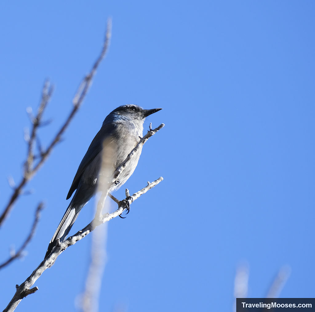
This made the area teeming with “lush” foliage (it is the desert after all), and of course the occasional scrub jay.
We did have to navigate two stream crossings along the route, but the water was low enough that we could hop across rocks to reach the other side.
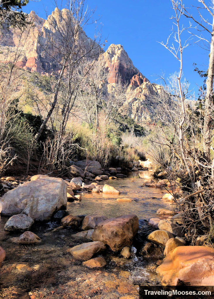
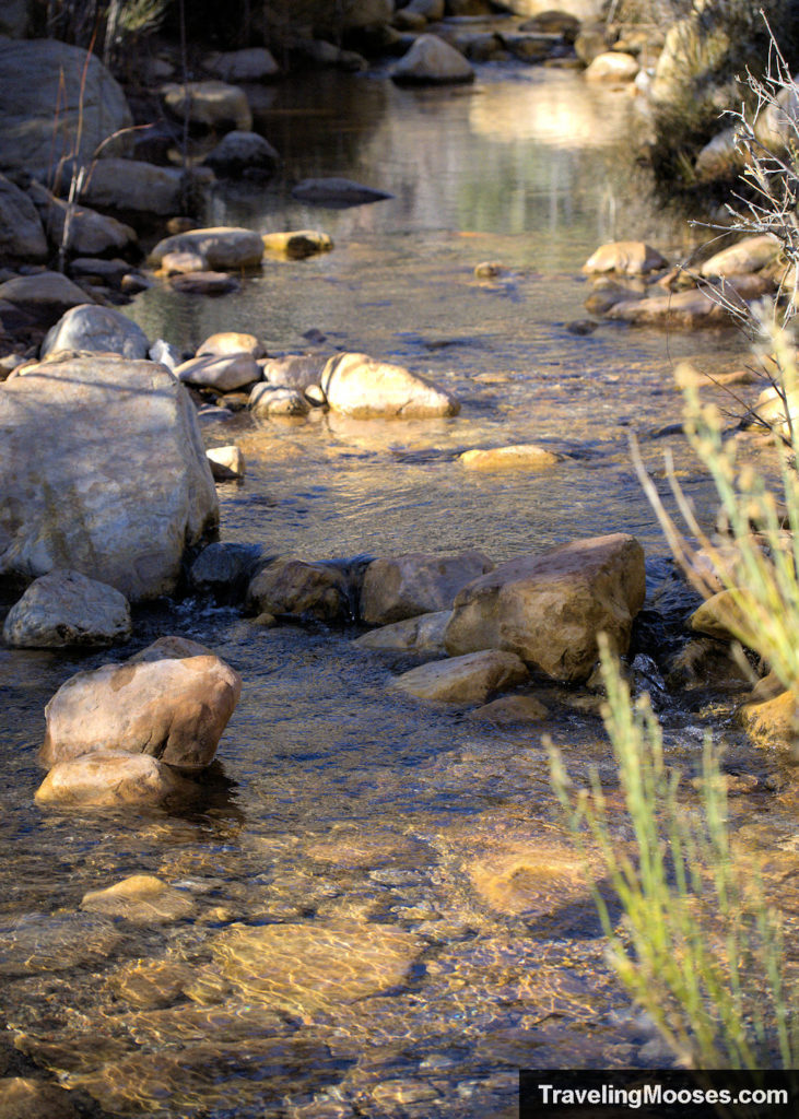
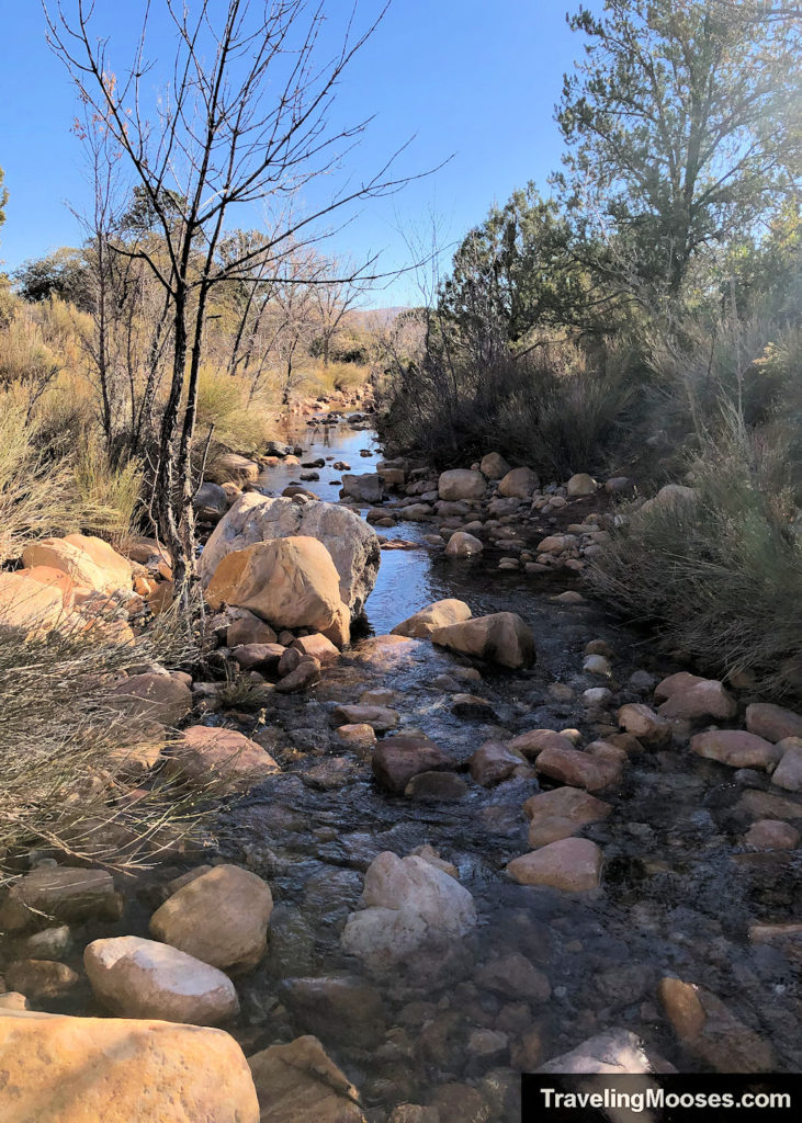
After crossing the streams, we were officially on the far side of the loop and enjoyed views of plant life thriving in the desert.
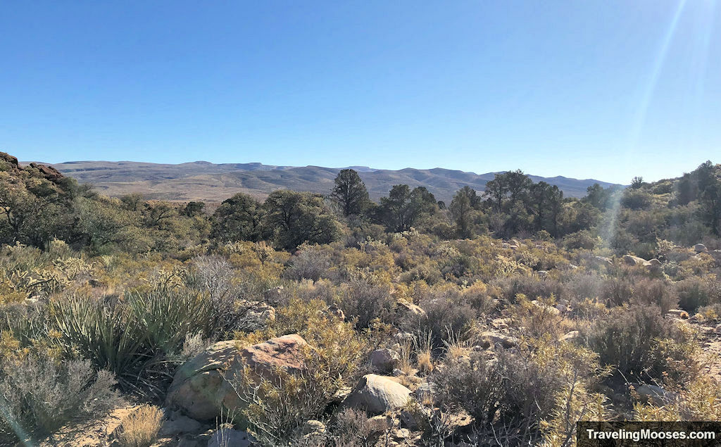
The path also becomes clearer from here on out.
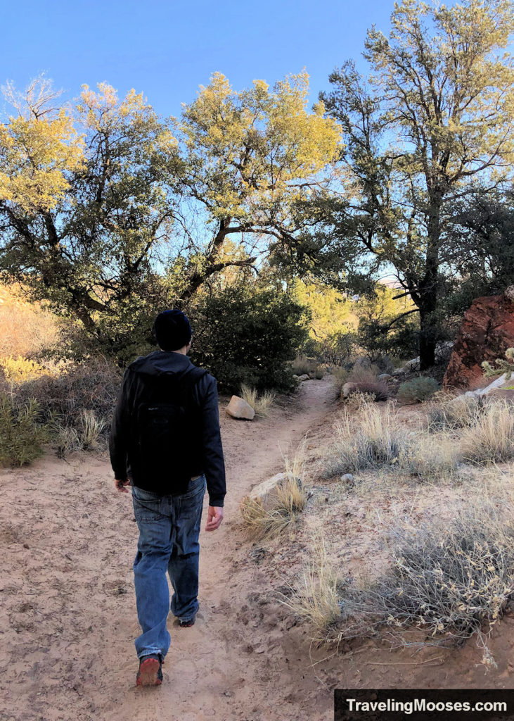
Here is a view of Mt. Wilson and the pimple looking south.
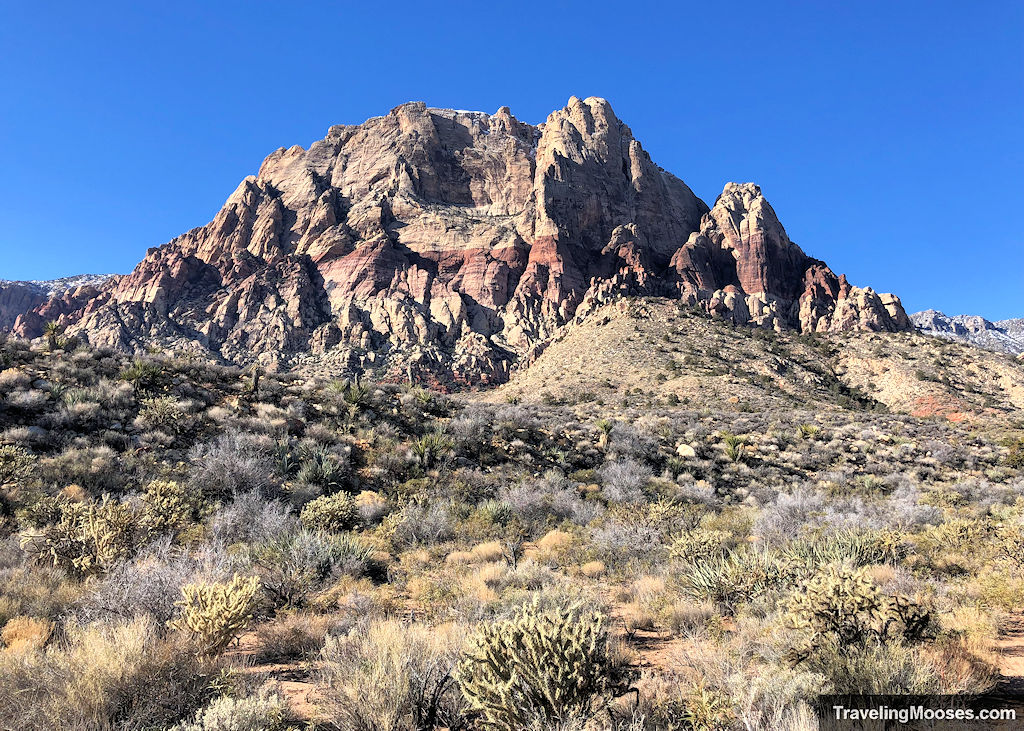
On the way back we were dreading the return trek up the rocky trail, when we realized there a much nicer hiking path that runs parallel to the main trek.
This was a welcome reprieve.
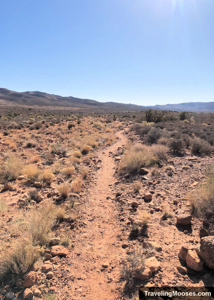
We arrived back at the parking area at around 10:00 a.m. to find it filled with cars. Vehicles were already starting to use the overflow area across the street.
Our total hike took about 2 hours and ten minutes, including time for pictures.
Is hiking Wilson’s Pimple loop worth it?
Rating: 3.0 Mooses

What we liked:
- Views of the impressive Red Rock Canyon mountains.
- Oak Creek was running the day we visited.
- We visited earlier in the morning and had the trail mostly to ourselves until we arrived back to the trailhead.
- The back half of the hike was more enjoyable than the rest.
What we didn’t like:
- The first part of Oak Creek takes you up a path strewn with rocks. It requires you to watch each step, rather than enjoying the views.
- On our way back we ran into a lot of hikers and the main parking area was full. We were glad we started early before the crowds showed up.
- Overall, the hike felt a little lackluster in comparison with some of our other Red Rock Canyon hikes. We feel like this is a local’s hike and would be disappointed if we spent a valuable vacation day hiking this trail. To be fair, we may be a little biased after seeing the rock formations so many times.
Verdict: This trail is best visited early in the morning or on a weekday. If you want to avoid the scenic loop fee or you’ve done all the other hikes in the area, then certainly check it out. Otherwise, we’d recommend checking out some other hikes such as Pine Creek Canyon (on scenic loop) or Kraft Mountain loop (Calico Basin area).
Practical info for your trip
Current trail conditions
- Check the webcam at Red Rock Canyon. This webcam is not located at the trailhead, but may give you a general idea of the conditions in the area.
- Check Alltrails for recent trail reviews.
- Check the National Weather Service for temperature forecasts.
What to bring
Be sure to check the weather conditions and pack appropriately. This is what we brought for this hike:
Standard Gear:
- The 10 Essentials. These are a must for us on every hike.
Special Items of note:
- Hiking Boots or closed toe shoes – There were a lot of rocks on the trail. We recommend wearing either hiking boots or trail shoes.
- Clothing – Be sure to bring appropriate clothing for rapidly changing conditions. Weather can change extremely fast, especially during monsoon season. Yes, Las Vegas does have a wet season and the area can be prone to flash floods.
- Water / Snacks – There is no running water available at the trailhead. Bring plenty of water (especially in the hot summer months) and extra snacks.
- Navigation – We use Alltrails (no affiliation) on all our hikes. We were glad to have the offline paid verison on the back side of the loop. There were a lot of ill-defined trails. Ultimately, I think we could have found our way without it, but after reading other reviews online, we found many other hikers had the same trouble we did.
Parking
Parking for this hike is located at the South Oak Creek Trailhead. It is a gravel area just off the highway.
If the parking area fills up on the side of the trailhead, you can also park across the highway as well. When we finished the trail at 10:00 a.m. on a Saturday, vehicles were already parking on the other side.
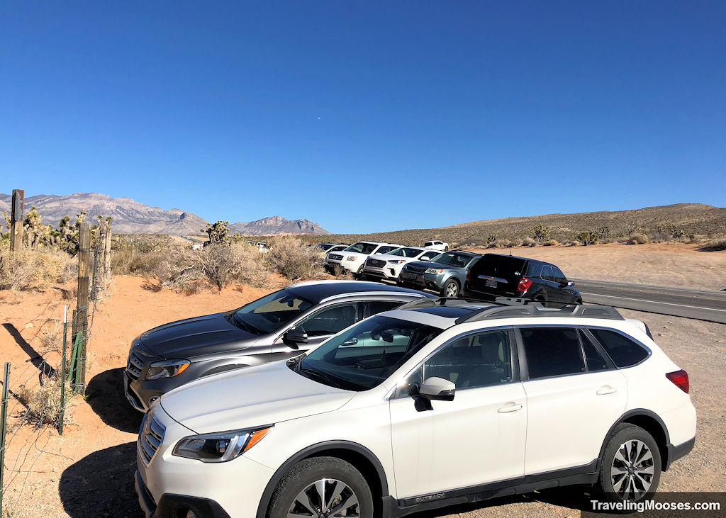
Be extremely careful crossing the highway. There are no cross walks and cars go fast on the road. The speed limit is technically 50 mph, but most go 60 mph plus. This stretch of the road is also heavily trafficked by police, so we don’t recommend speeding.
Trailhead Amenities
There are almost no amenities at this trailhead, unless you count parking in a gravel pull off or a trail map. There is no running water or restrooms. We didn’t see a trash receptacle or a place to lock up a bicycle.
There are restrooms down the street a few miles at the Red Rock Canyon Overlook if needed. You’ll pass it on your left if you’re headed back towards Las Vegas on the NV-159.

