Notice: Mt. Charleston recently experienced substantial storm damage from Hurricane Hillary. Be sure to check for updated information about closures here.
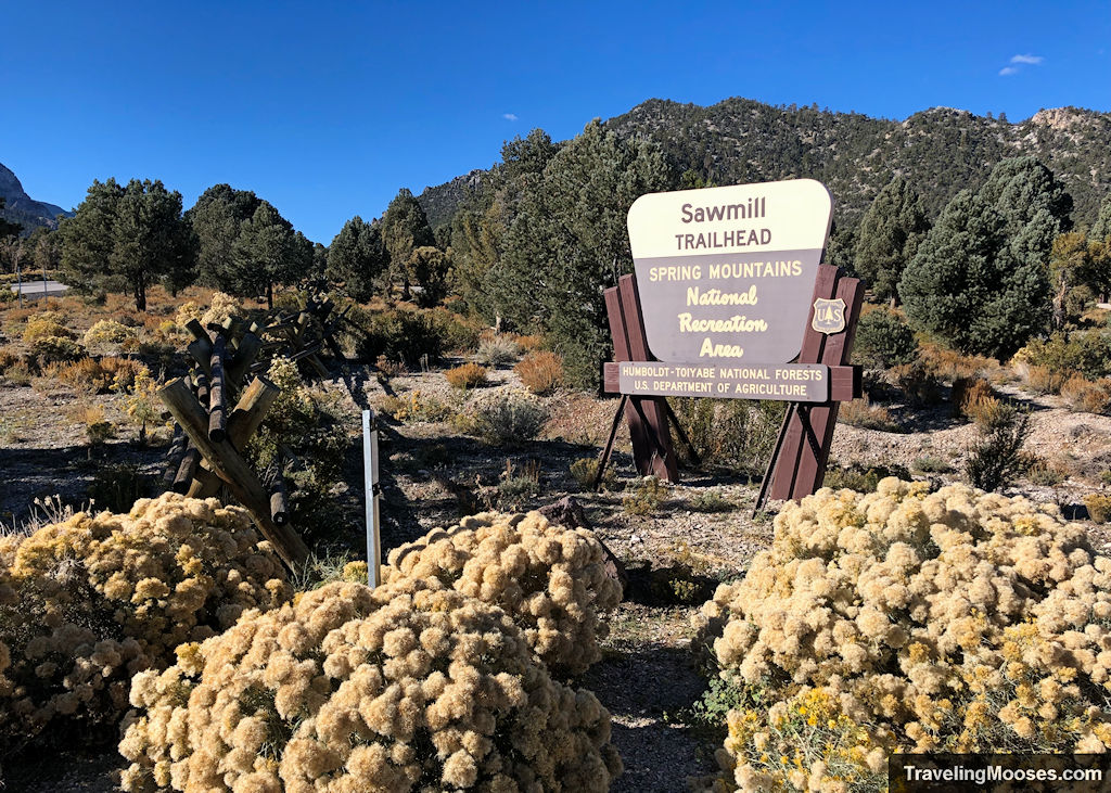
The Sawmill trailhead is the gateway to several hikes in the Mount Charleston Wilderness Area.
In this guide:
- Trails accessible from Sawmill trailhead
- Sawmill trailhead hiking map
- Getting to the trailhead
- Parking information
- Trail amenities
- Trail rules
Trails accessible from the Sawmill trailhead
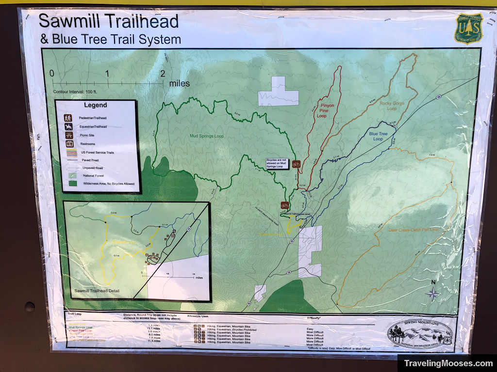
The Sawmill trailhead services several hiking trails in the area:
- Sawmill Loop
- Blue Tree Loop
- Mud Springs Loop
- Pinyon Pine Loop
- Rocky Gorge Loop
- Deer-Creek Catch Pen Loop
Sawmill Loop Trail
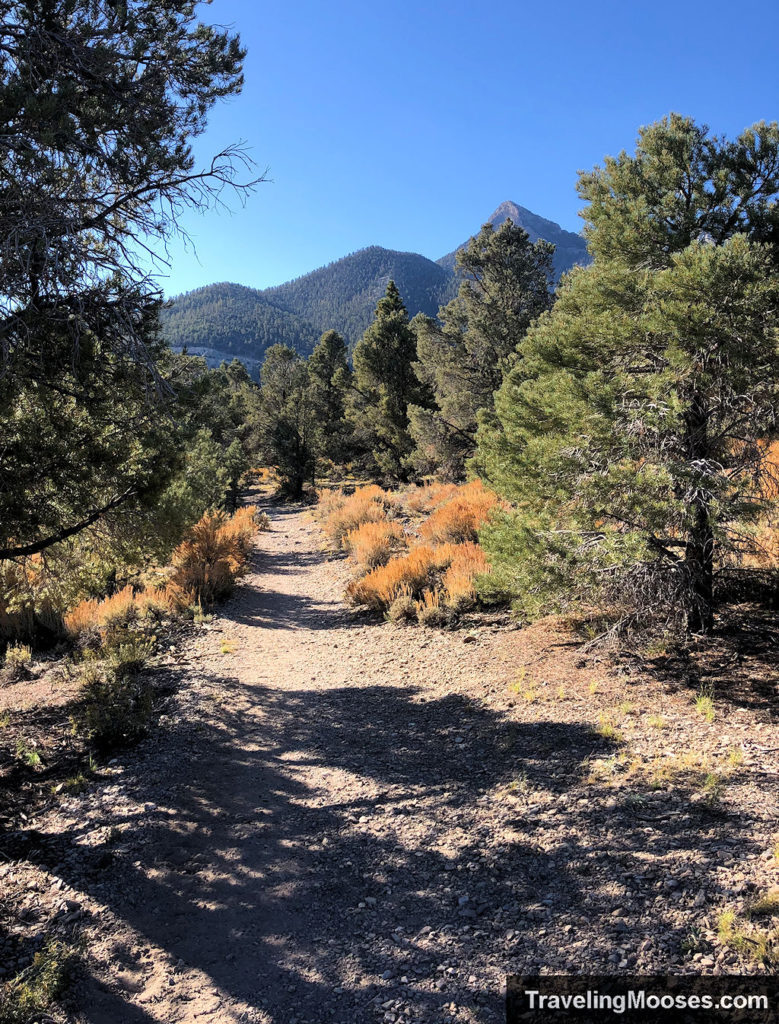
The Sawmill loop trail is a 1.3 mile easy hike that begins at the Sawmill trailhead off of NV-156/Lee Canyon road near Mount Charleston. Otherwise known as the “yellow trail,” this trail is used to access other connecting hikes in the area and takes adventurers through a pinyon-juniper forest and features an occasional wildflower.
- Distance (round trip): ~1.3 miles
- Difficulty: Easy
- Elevation gain: ~157 feet
- Route Type: Loop
- Average time: 1 hour
- Parking Area: Sawmill trailhead
- Best Used: Spring through Fall
- Uses: Hiking, Equestrian, Mountain Bike
Related: Read our review of the Sawmill loop trail
Blue Tree Loop
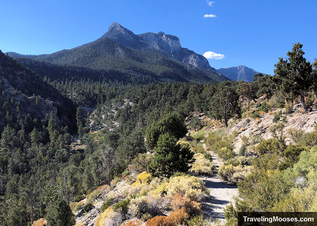
We explored the first portion of the Blue Tree loop trail which takes hikers by several old cars and past the Lee Canyon Narrows. Continuing on, the loop trail which eventually end back at the Sawmill trailhead.
- Distance (round trip): ~7.8 miles
- Difficulty: Moderate/Hard
- Elevation gain: ~1,150
- Route Type: Loop
- Average time: 3 to 4 hours
- Parking Area: Sawmill trailhead
- Best Used: Spring through Fall
- Uses: Hiking, Equestrian, Mountain Bike
Related: Read our view of Lee Canyon Narrows (via the Blue Tree loop trail)
We haven’t explored the remainder of the trails that are accessible from Sawmill trailhead, but wanted to include a brief summary from our research.
Mud Springs Loop
- Distance (round trip): ~13.1 Miles
- Difficulty: Moderate/Hard
- Elevation gain: ~1,180 feet
- Route Type: Loop
- Average time: 3 to 4 hours
- Parking Area: Sawmill trailhead
- Best Used: Spring through Fall
- Uses: Hiking, Equestrian, Bicycles prohibited
Pinyon Pine Loop
- Distance (round trip): ~5.6 miles
- Difficulty: Moderate/Hard
- Elevation gain: ~1,540 feet
- Route Type: Loop
- Average time: 3 to 5 hours
- Parking Area: Sawmill trailhead
- Best Used: Spring through Fall
- Uses: Hiking, Equestrian, Mountain Bike
Rocky Gorge Loop
- Distance (round trip): ~8.0 miles
- Difficulty: Moderate/Hard
- Elevation gain: ~1,440 feet
- Route Type: Loop
- Average time: 3 to 5 hours
- Parking Area: Sawmill trailhead
- Best Used: Spring through Fall
- Uses: Hiking, Equestrian, Mountain Bike
Deer Creek Catch Pen Loop
- Distance (round trip): ~11.8 miles
- Difficulty: Difficult
- Elevation gain: ~2,550 feet
- Route Type: Loop
- Average time: 6 to 10 hours
- Parking Area: Sawmill trailhead
- Best Used: Spring through Fall
- Uses: Hiking, Equestrian, Mountain Bike
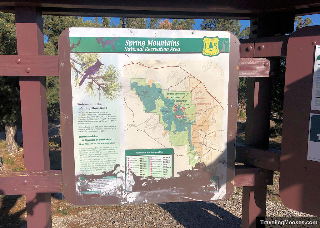
Sawmill trailhead hiking map
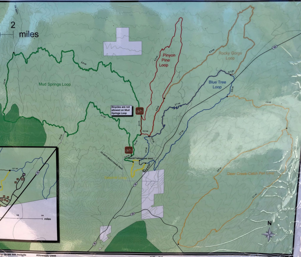
Getting to the Sawmill trailhead
The Sawmill trailhead can be found off Highway NV-156 (aka Lee Canyon Road), approximately 13 miles from the turnoff of Highway 95.
From Las Vegas:
Take Highway 95 Northbound until you see signs for Lee Canyon (NV/156). There will be a left hand turn that sneaks up on you with only a simple left hand turn lane.
Once on Highway 156 / Lee Canyon road, drive approximately 13 miles. You will see a sign for the Sawmill trailhead on your right.
After turning in the parking area, keep to the left to find the day use parking area. If you turn right, you’ll end up at the equestrian area.
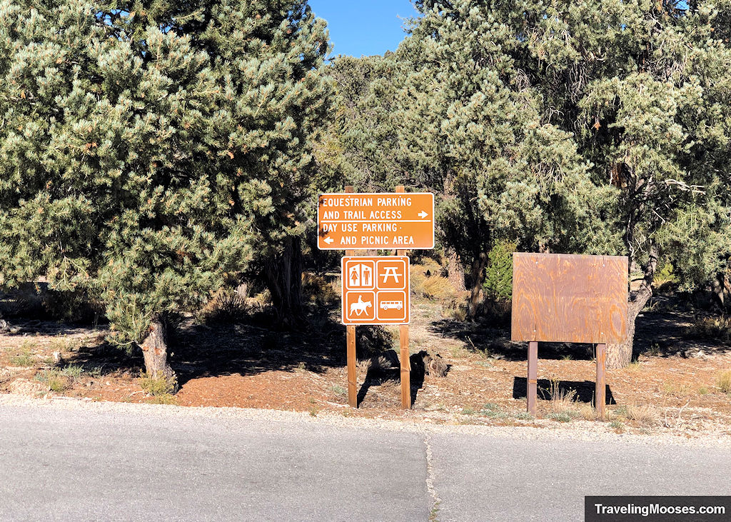
Parking at the Sawmill trailhead
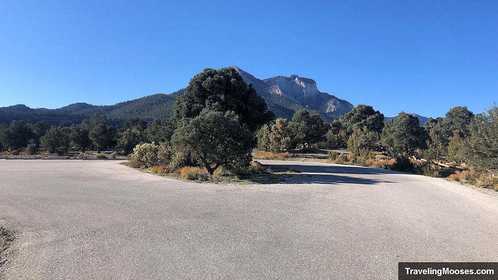
If you’ve read any of our other hikes around Mount Charleston, you’ll know if you want a parking spot at the local trailheads, you need to arrive early or go on a weekday. This isn’t true at Sawmill.
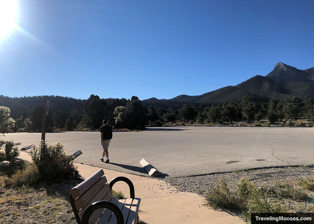
We arrived at 9 a.m. and found two other cars in the entire lot. We were wondering if there was a zombie apocalypse that no one told us about, as we were shocked.
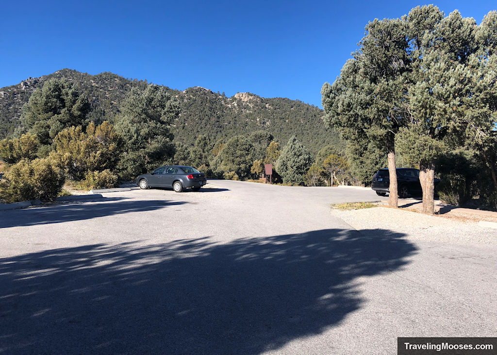
The parking area was HUGE, and basically empty. On a Saturday.
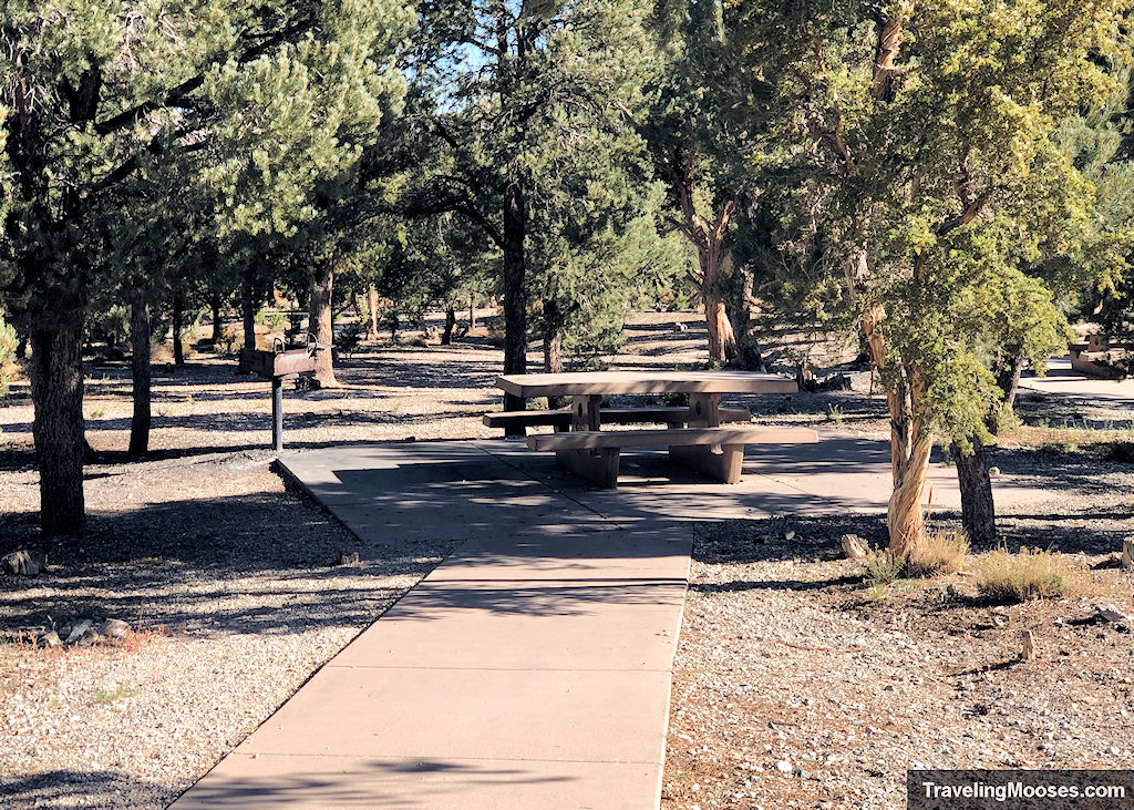
Sawmill trailhead amenities
- A large parking area
- Local trail information, trails maps and Spring Mountains Recreation area map
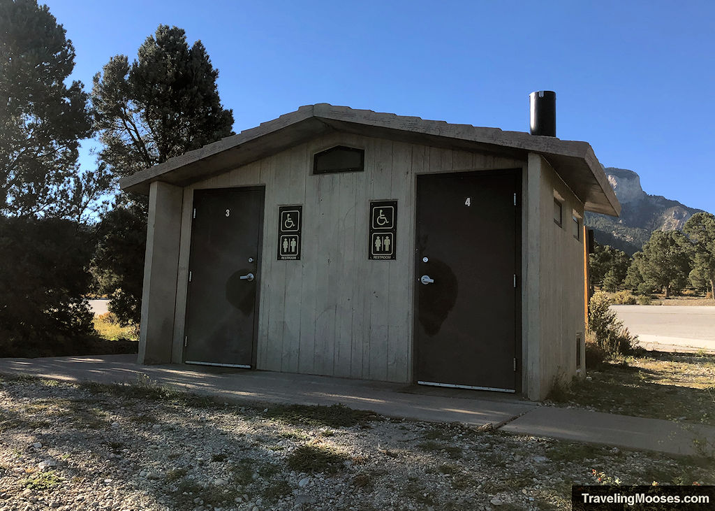
- Primitive restrooms
- Trash receptacles
- Access to several different trails, Sawmill Loop (1.3 miles round trip), Mud Springs Loop (13.1 miles round trip), Pinyon Pine Loop (5.6 miles round trip), Blue Tree Loop (7.8 miles round trip), Deer Creek Catch Pen Loop (11.8 miles round trip)
- Nearby to the Blue Tree Group Camp area and equestrian parking
Trail Rules & Regulations
A few rules exist along the trail as posted on the information sign boards at the trailhead:
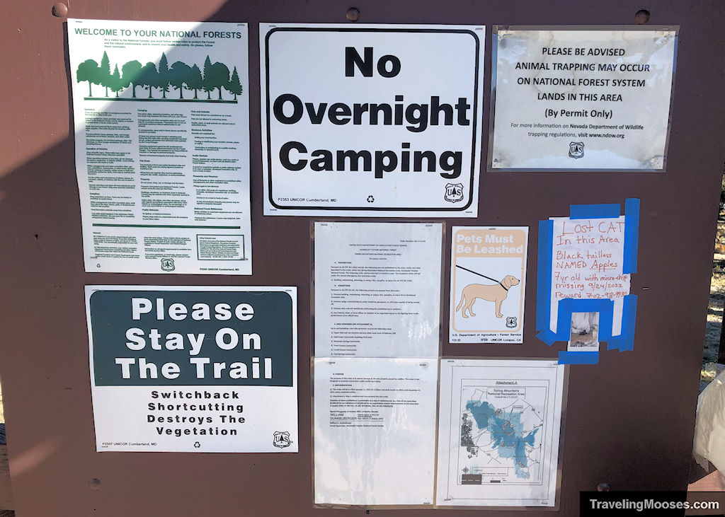
- No overnight camping is allowed.
- Pets must be leashed.
- Please stay on the trail. Switchback shortcutting destroys the vegetation.
- Fires are not permitted except in developed recreation sites.
- Operation of audio devices such as radio or musical instrument should be used in a way that will not disturb other forest visitors.
- Use of fireworks or other explosives is prohibited.
- Day use areas are for use between 6 a.m. and 10 p.m.
Other rules and regulations may apply and are subject to change at any time. Please read and respect all rules posted at the trailheads.

