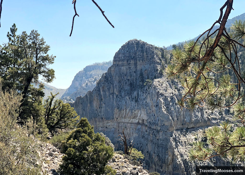
Just a 45-minute drive from Las Vegas, you’ll find some of the best easy hiking trails Mount Charleston has to offer!
Notice: Mt. Charleston recently experienced substantial storm damage from Hurricane Hillary. Be sure to check for updated information about closures here.
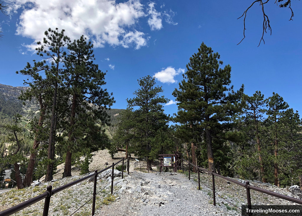
Easy hiking trails Mount Charleston
Desert View Overlook Hike
This short, paved hike is packed full of historic significance and expansive views of the Mojave Desert.
This area used to be a popular viewing area for the atomic bomb testing between 1951 and 1992 when over 900 bombs were tested below ground and 100 were tested above ground. The short trail is loaded with informational sign boards about the history of the area and makes a great stop along a tour of the local scenic byway.
- Distance (round trip): ~0.4 miles
- Elevation gain: ~49 feet
- Route Type: Out and back
- Average time: Less than 30 minutes
- Trail start: Desert View Overlook Trailhead at 36.33668, -115.62881
- Season: Year-round (weather permitting)
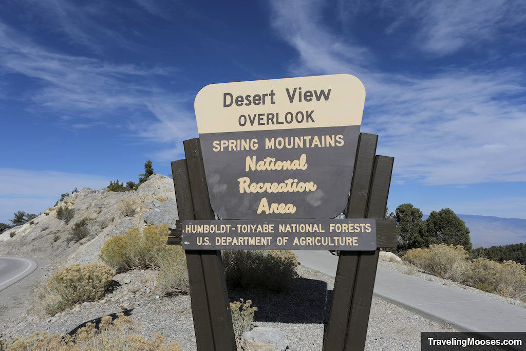
Read more about the Desert View Overlook trail.
Kunav Huveep hike
This easy stroll starting at the Spring Mountains Visitor Gateway is a great way to become acquainted with Mt. Charleston. You’ll enjoy learning about the unique history of the area with abundant exhibits and informational signs while taking in the breathtaking views of Kyle Canyon.
- Distance (round trip): ~0.75 miles
- Elevation gain: <100 feet
- Route Type: Loop
- Average time: 30 minutes
- Trail start: Spring Mountains Visitor Gateway
- Season: Year-round
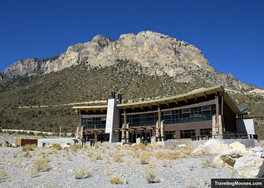
Related: Learn more about the Spring Mountains Visitor Gateway Center.
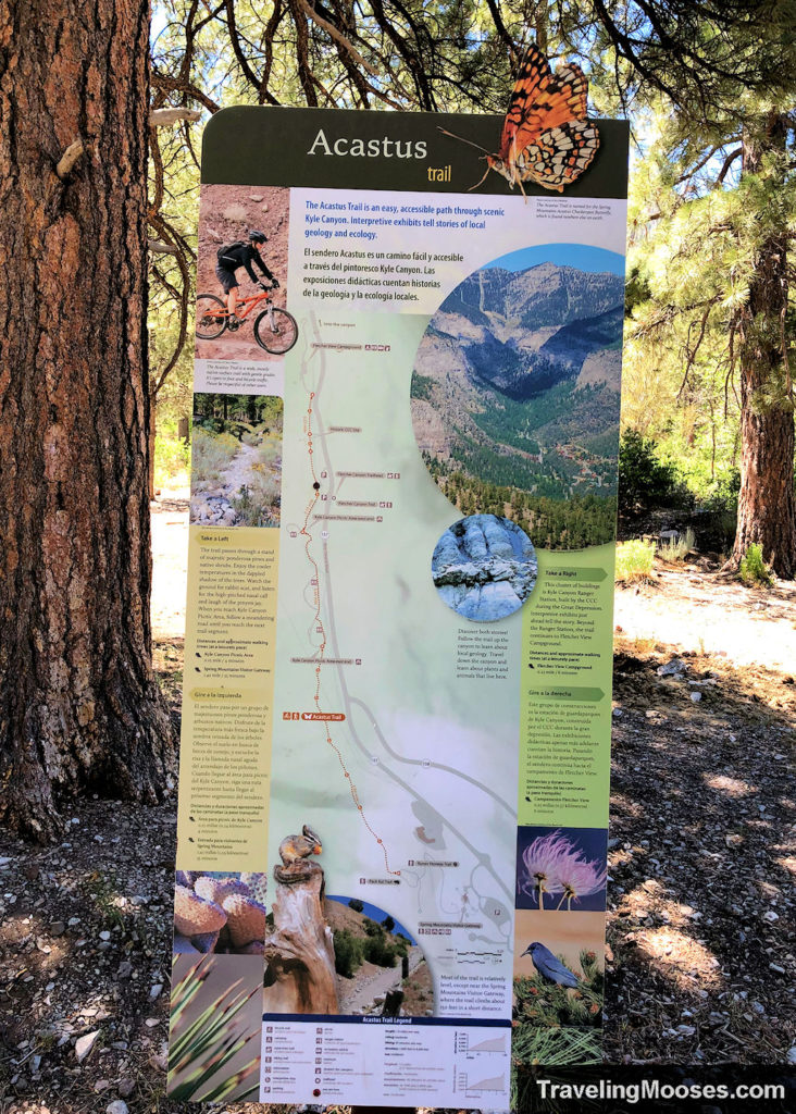
Acastus Trail hike
This mostly flat trail is great for beginners. Start from either the Fletcher Canyon parking area (preferred) or the Spring Mountains Visitor Gateway and enjoy a pleasant stroll through the forest.
Along the way, you can learn about the local geologic and cultural history of the area. The trail is packed with informational sign boards and benches along the way.
- Distance (round trip): ~3.5 miles
- Elevation gain: ~430 feet
- Route Type: Out and back
- Average Time: Less than 2 hours
- Trail start: Fletcher Canyon Trailhead, US-95 and NV-157 W/ Kyle Canyon Road or the Spring Mountains Visitor Gateway
- Season: Year-round
Eagles Nest Loop hike
This short refreshing hike heads through lush forested areas in the Spring Mountains. Enjoy the well-marked and traveled trail with expansive views of the valley and majestic old growth trees.
After a slight incline at the beginning of the loop, you’ll come out of the forested area and soon be wandering peacefully down an easy path that’s sure to impress.
- Distance (round trip): 2.7 miles
- Elevation gain: ~400 feet
- Route Type: Loop
- Average Time: Less than 2 hours
- Trail start: Fletcher Canyon Trailhead, US-95 and NV-157 W/ Kyle Canyon Road
- Season: April through September
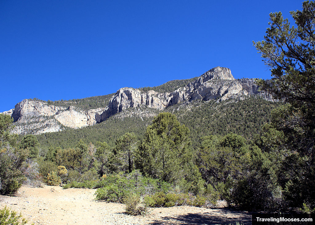
Read about our experience on the Eagle’s Nest Loop Trail.
Sawmill Trailhead hike
If you’re looking for a perfect short hike with views of Mount Charleston and the many pine trees surrounding the trail, this hike is for you.
Make sure to follow the colored arrows as you’re traveling around the trail to stay on track. For the more adventurous, you can explore the multiple trail splits in the area.
- Distance (round trip): 1.3 miles
- Elevation gain: ~160 feet
- Route Type: Loop
- Average time: 30 minutes to 1 hour
- Trail start: Sawmill Dayuse Loop A Road, Las Vegas, NV
- Season: Best from spring to fall
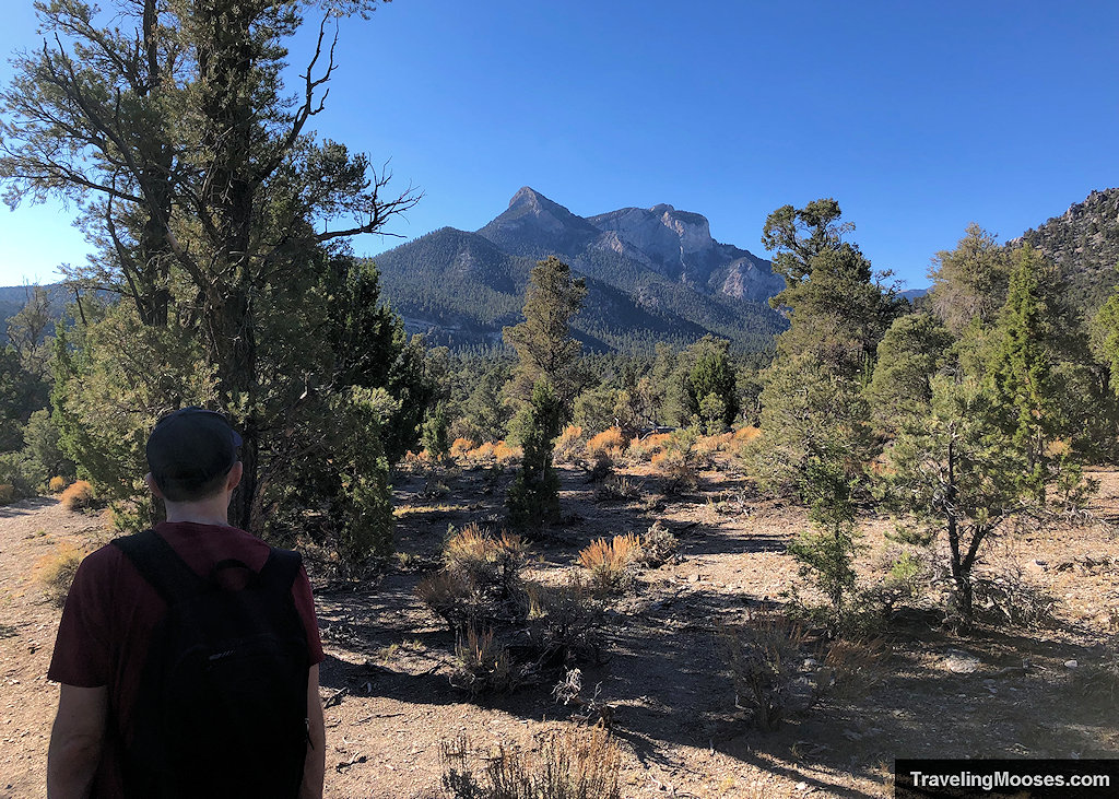
Related: Read about our experience on the Sawmill loop trail.
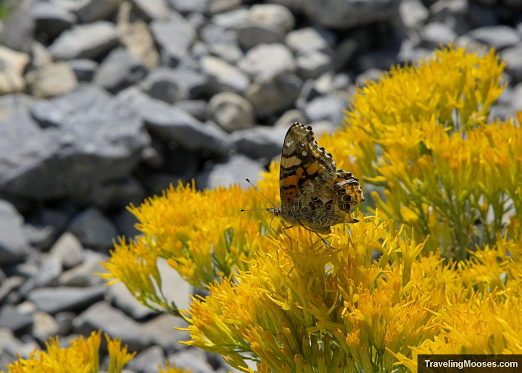
Looking for something a little more difficult? Read on to see the best moderate hiking trails Mt Charleston has to offer.
Moderate hiking trails Mount Charleston
Fletcher Canyon Trail
Fletcher Canyon Trail is a moderate hike with beautiful views of the Spring Mountains, seasonal wildflowers and ends in an captivating journey through a variety of towering slot canyons.
Fletcher Canyon is one of our favorite hikes in the area.
- Distance (round trip): ~4.0 miles
- Elevation gain: ~1,000 feet
- Route type: Out and back
- Average time: 1.5 – 2.5 hours
- Trail start: Fletcher Canyon Trailhead
- Season: Spring through Fall
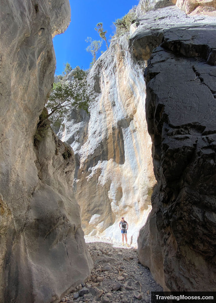
Read more about our hike through Fletcher Canyon Trail.
Cathedral Rock Trail
Expansive views of Cathedral rock and the Echo Cliffs greet you immediately upon starting this trail. Enjoy wildflowers, beautiful views of the valley below and a chance to see a variety of wildlife.
This well marked trail has several benches along the trail to stop for a rest and a grand pay-off at the summit.
The elevation gain and rocky path make this a moderate hike, but one not to be missed.
- Distance (round trip): 2.8 miles
- Elevation gain: ~984 feet
- Route Type: Out and back
- Average time: 2 – 3 hours
- Trail start: Cathedral Rock Trail, Mt Charleston, NV
- Season: Late Spring through Late Fall
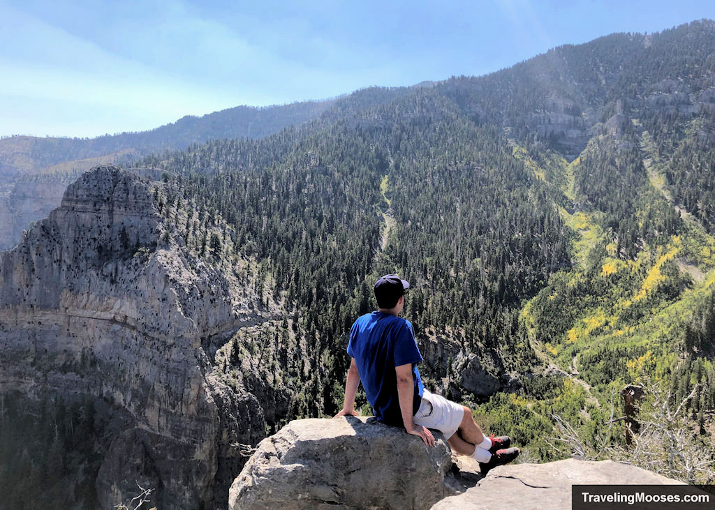
Related: Check out our complete review of the Cathedral Rock hike
Mary Janes Falls hike
This heavily trafficked trail near Mt Charleston features a scenic trail with a seasonal waterfall at the end. The trail is more challenging due to the high amount of switch backs and erosion from hikers cutting corners to shorten the length of the trail.
You’ll also be met with a fair amount of shale during the last third of the hike. The best chance to see the waterfall is early in the season during the months of April and May.
- Distance (round trip): 3.9 miles
- Elevation gain: ~1,150 feet
- Type: Out and back
- Average time: Less than 3 hours
- Trail start: Mary Jane Falls Trailhead – 6-34 Kyle Canyon Rd, Mt Charleston, NV 89124
- Seasonal: April to December
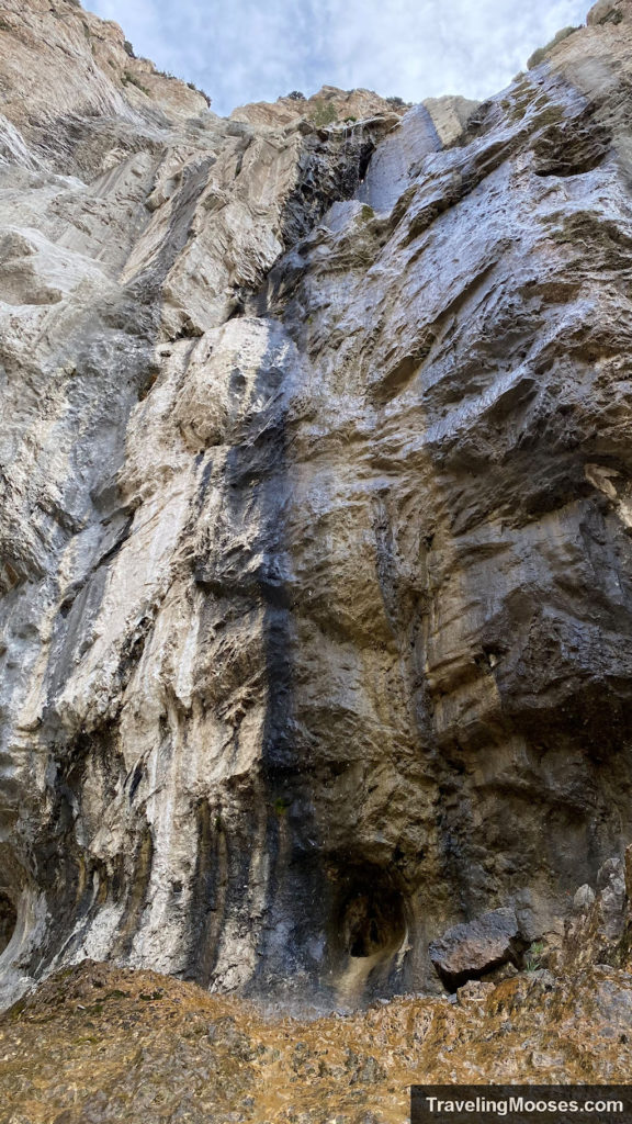
Related: Read more about our visit to Mary Jane Falls.
Bristlecone Loop Trail
Beautiful views, wildflowers and wildlife await you on this pleasant trail on the Lee Canyon side of Mt. Charleston.
This 6.3-mile moderate trail is best traversed clockwise starting with Upper Bristlecone. This trail is also used for mountain bikers and is dog friendly with a leash.
- Distance (round trip): 6.3 miles
- Elevation gain: ~931 feet
- Type: Loop
- Average time: 2 – 3 hours
- Trail start: Bristlecone Trail, Las Vegas NV, 89124
- Season: May through October
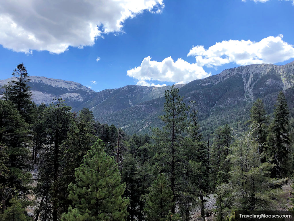
Related: Check out our complete review of the Bristlecone Loop trail.
Raintree Trail
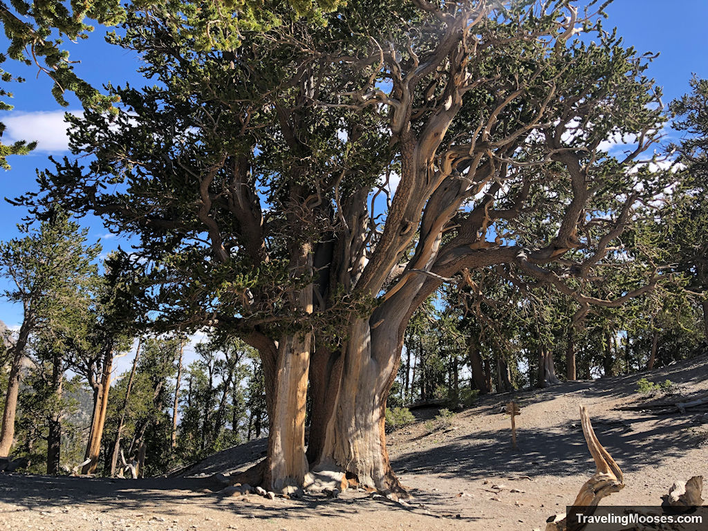
The Raintree trail is a popular 2.7-mile trek (each way) that takes hikers through scenic forests, past epic views and culminates in what many believe to be the oldest living thing in Nevada, a 3,000-year-old massive bristlecone tree.
- Distance (round trip): 5.4 miles
- Elevation gain: ~1,650 feet
- Type: Out and back
- Average time: 3.5 hours
- Trail start: North Loop Trailhead
- Season: Best used late spring through late fall
Related: Check out our complete review of the Raintree Trail.
More Information for your trip to Mt. Charleston:
- More amazing hikes in Mt. Charleston
- Guide to the Mt. Charleston
- Explore: Spring Mountains Visitor Gateway (Mt. Charleston Visitor Center)
- Activities: Explore the 15 best things to do in Mt Charleston
- Hiking: Upper Bristlecone Trail, a magical day of mountains and wild horses
- Disc Golf: Lee Canyon Disc Golf Course – playing a perfect round
- Hiking: Explore the Cathedral Rock trail
- Hiking: Desert View Overlook
- Hiking: Robbers’ Roost
- Hiking: Pack Rat Route Trail
You might also like:
- Nevada: 4 Hours in the Valley of Fire
- Nevada: A Nature lovers guide to Vegas – what not to miss
- California: Hiking Gower Gulch in Death Valley

