The Woodland Interpretive Trail (also known as 1E23) is located just 1 mile east of the Big Bear Discovery center. This easy trail takes hikers through an adventure of history and education in the heart of Big Bear Lake, CA.
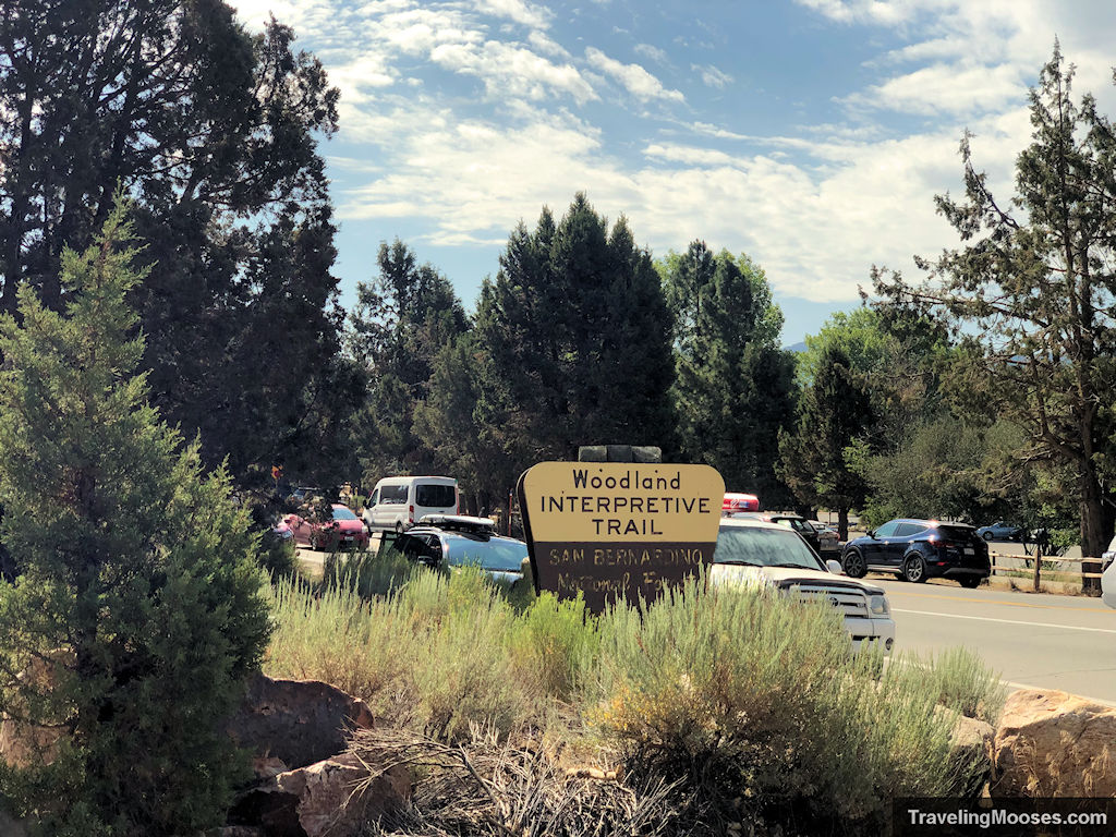
Woodland Interpretive Trail hiking stats
| Trail name | Woodland Trail 1E23 |
| Trail description | Loop |
| Trail location | 41948 N. Shore Dr, Big Bear, CA 92314 |
| Coordinates | 34.26326, -116.88872 |
| Round Trip Mileage | 1.5 Miles |
| Average Time | 45 min – 1 hour |
| Parking | Adventure Pass required – $5 daily or $30 annually |
| Difficulty | Easy |
| Rating | 3.5 Mooses |
The Woodland Interpretive Trail (What to expect)
With the heat wave happening in Big Bear during our visit, we wanted to get an early start on the interpretive trail, and also had until 10 a.m. before our Adventure Pass expired.
Pro-tip: Adventure Passes are good until 10 a.m. the next day.
We arrived around 8:30 a.m. to find plenty of parking and only a handful of folks in the area. We decided to go around the trail clockwise as recommended in the USDA Forest service interpretive guide (found here). We recommend downloading or printing the guide before you go to learn more about the history.
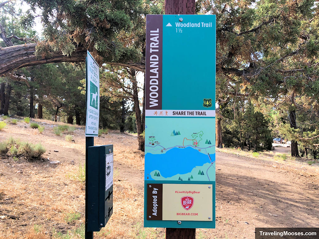
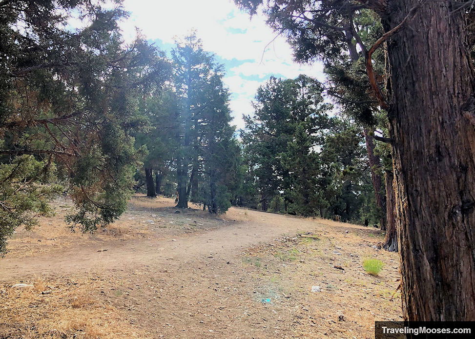
The trail starts out wide and well-marked and it doesn’t take long before you reach the first of 16 interpretive markers.
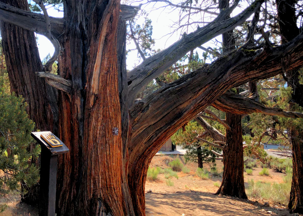
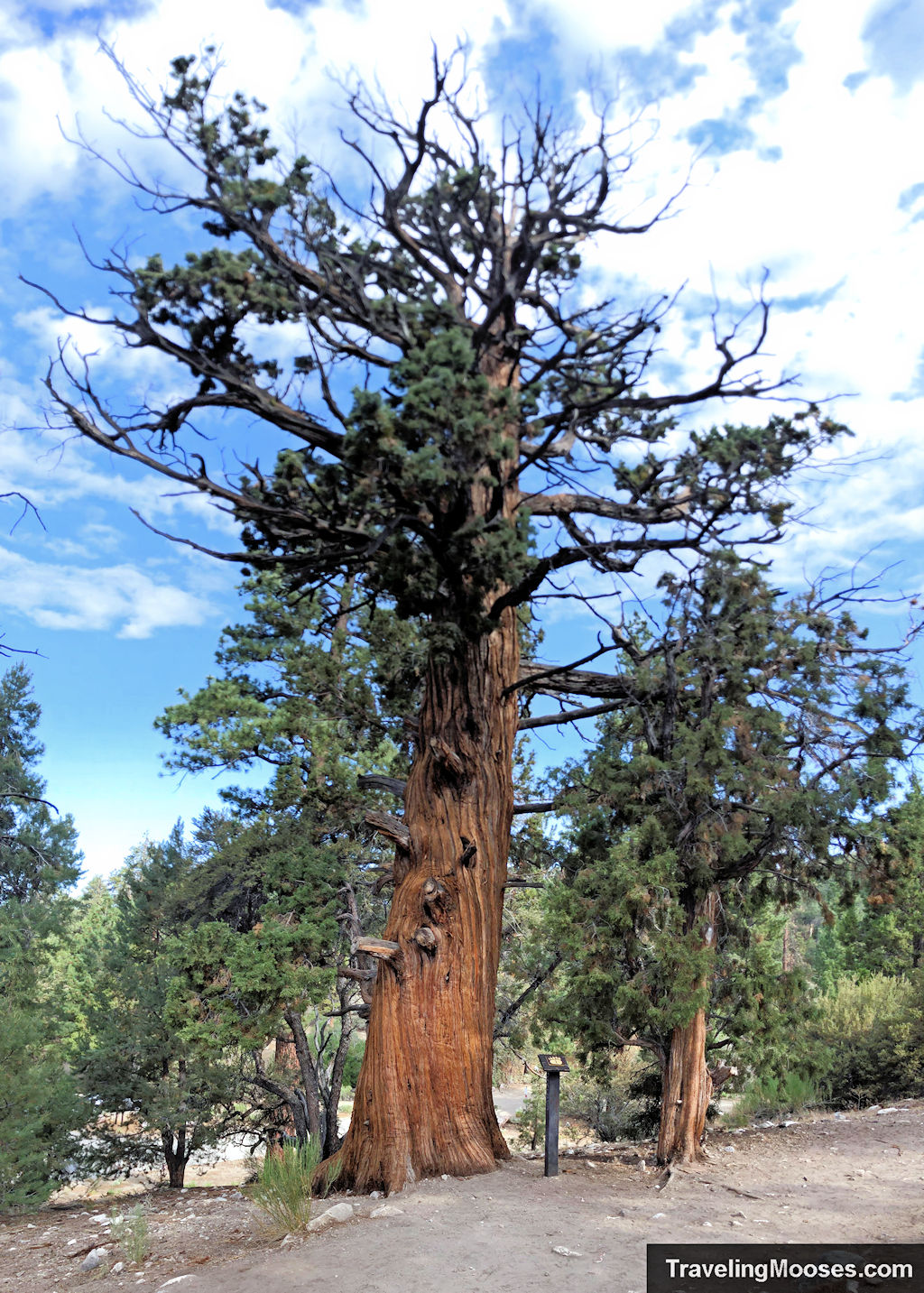
Interpretive Marker # 1 – Western Juniper
The first stop along the trail was the Western Juniper tree. They estimate the tree to be over 1500 years old. We stopped to contemplate what the tree had witnessed in the last 1500 years standing in the woods. It must have been a sight to see.
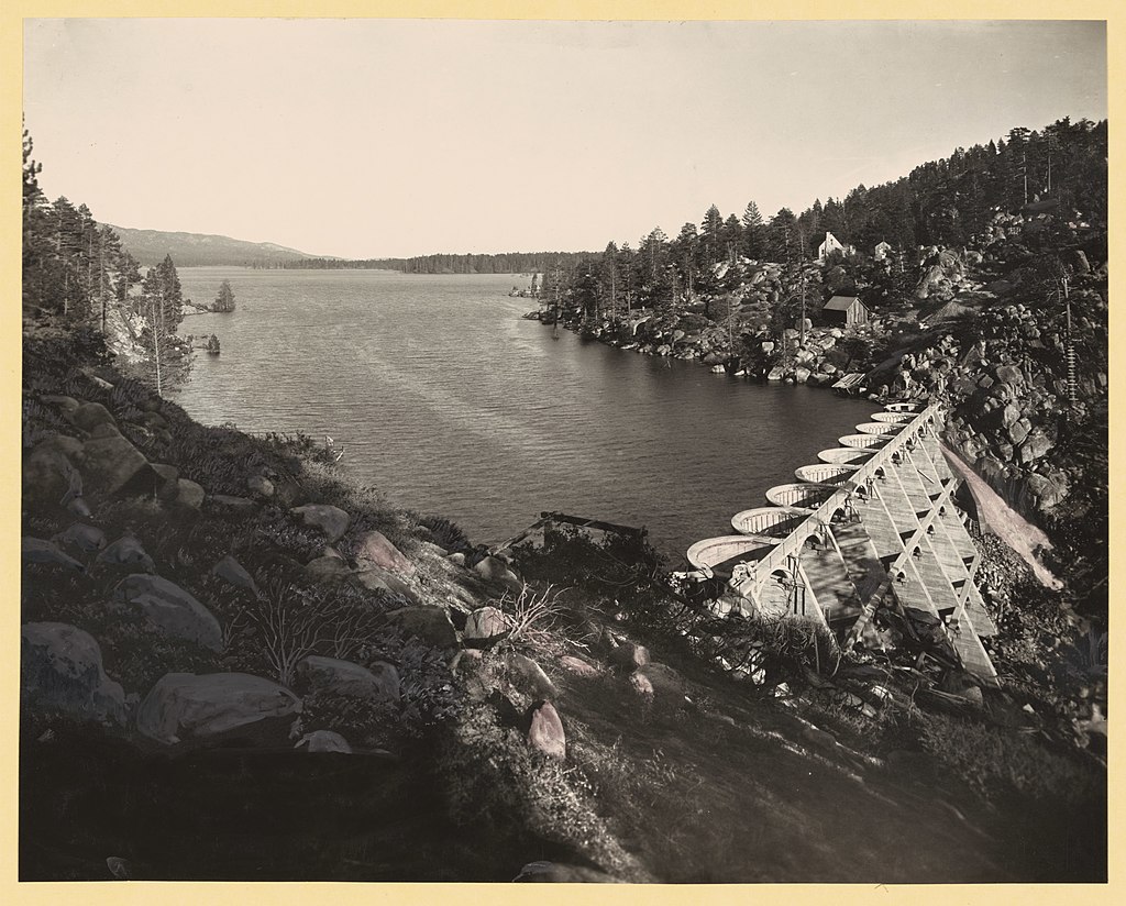
The tree would have watched over Big Bear Lake being formed as the first rock dam was erected in 1885. The tree would also have witnessed grizzly bears roaming freely (from which the area got its name), until 1906 when sadly the last one was killed.
Interpretive Marker # 2 – Mountain Mahogany
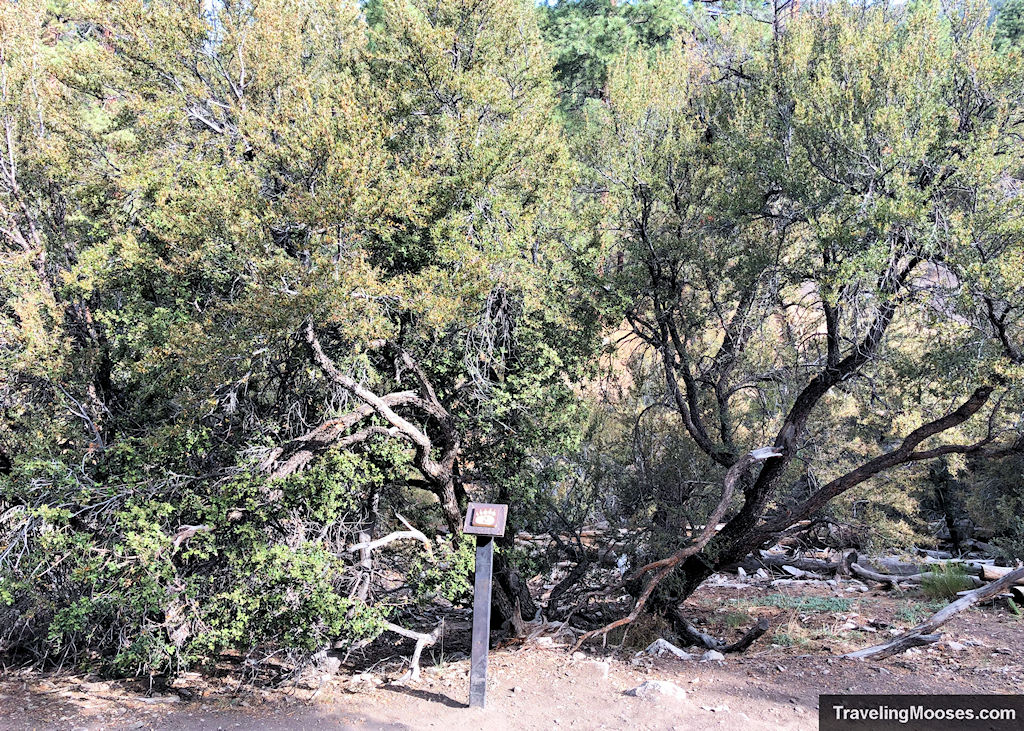
We continued on and were quickly met with the second marker, a Mountain Mahogany tree, otherwise known as “Ironwood.” This slow growing and tougher than nails tree is highly prized as a dense hard wood. The tree got its nickname for being notoriously difficult to chop down with a chainsaw. Its short and twisted stature makes it a poor source of lumber, but was originally used for smaller handmade items such as bows, spearheads and cutlery. This wood is so dense it can keep a fire going all night long and did just that in the recent Lamoille Canyon fire in 2018. Unfortunately, the mahogany there will take decades to come back.
Interpretive Marker # 3 – Dead logs on the trail
Next up we found the third marker, a group of fallen logs off to the side of the path. The Forest Service will cut down trees that are too close to the trail to make it safer for hikers and also to provide a more balanced ecosystem for insects.
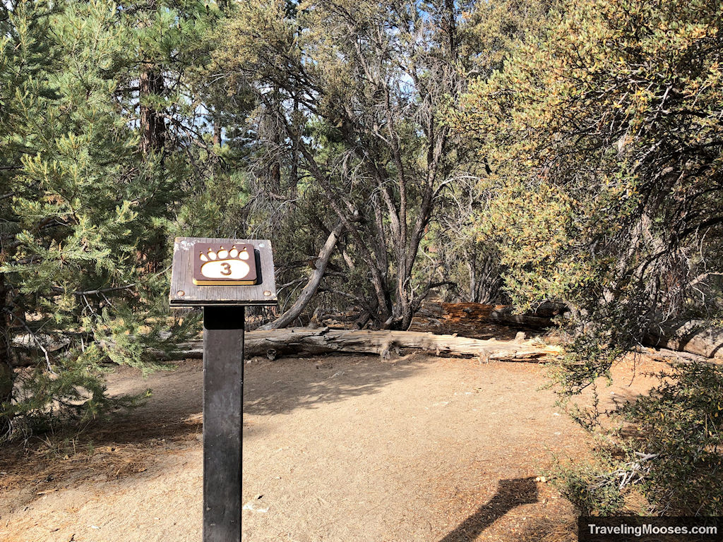
The insects (usually larval grubs or Bark Beetles) feed on the decaying wood under the bark left on the dead trees. Culling the trees can provide a balance of trees left behind for the insects to pray upon, allowing the stronger living trees to thrive.
Interpretive Marker # 4 – Willow bushes
The trail was already getting warm by this point and it was still early, but we were determined to see it through until the end. We continued up the trail and were met with the next marker, a stand of willow bushes. The willow bushes are an important habitat for local birds that make their home between the branches. Willow is also important ingredient in Aspirin.
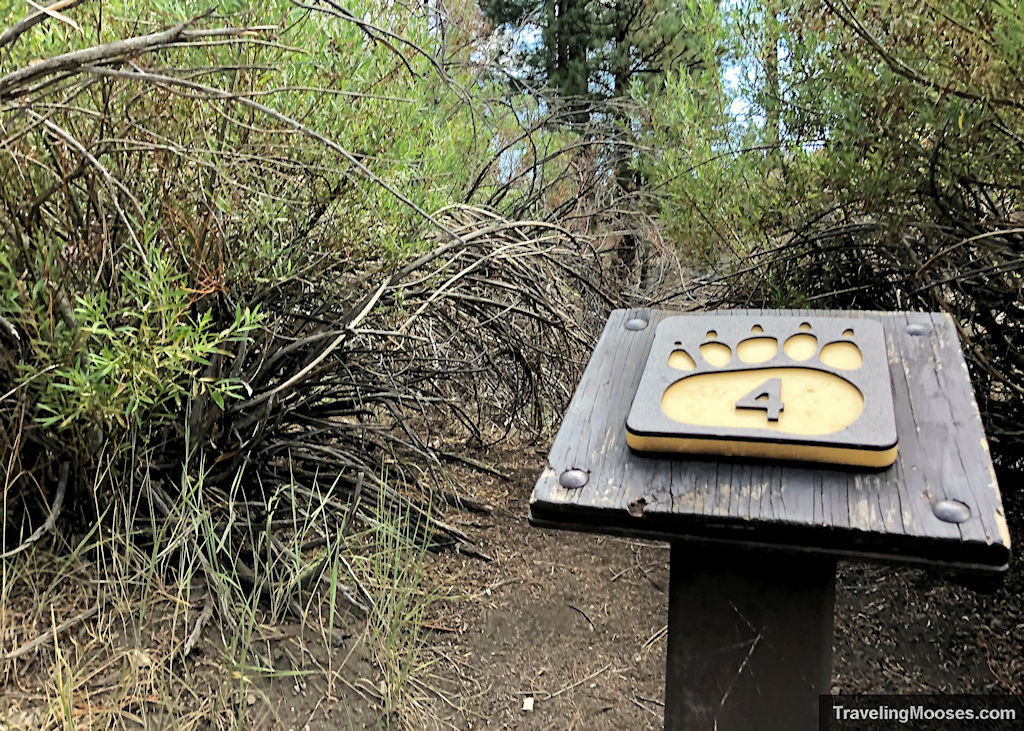
With the drought that has been plaguing California for quite some time, the willow bushes looked like they had seen better days. During the summer months, the stream that keeps them alive is reduced to running just below ground so we couldn’t see any water. While its normal to see no water during the summer, we wondered if one day there just won’t be enough to keep them alive.
Interpretive Marker # 5 – More downed trees
At the third marker we learned how dead logs provide an important ecosystem to all sorts of insects. A bit repetitive at the fifth marker, but we further learned that more dead trees help decompose and provide valuable nutrients to the soil.
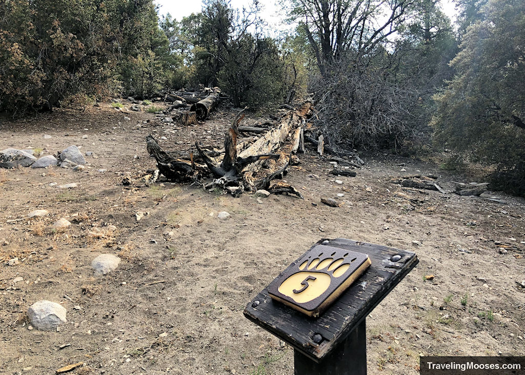
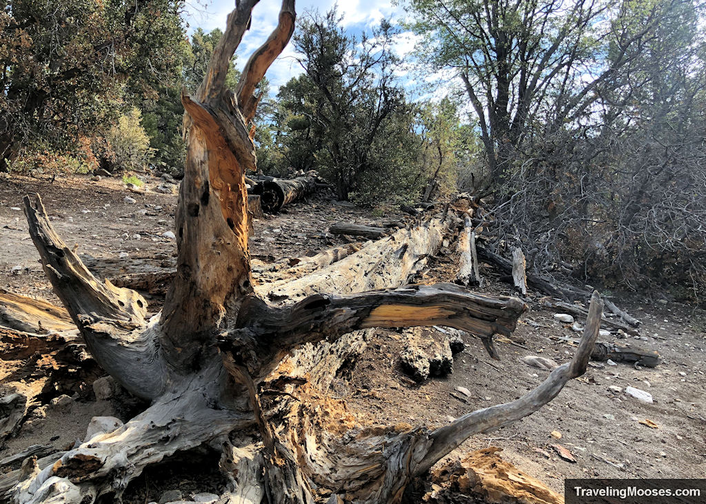
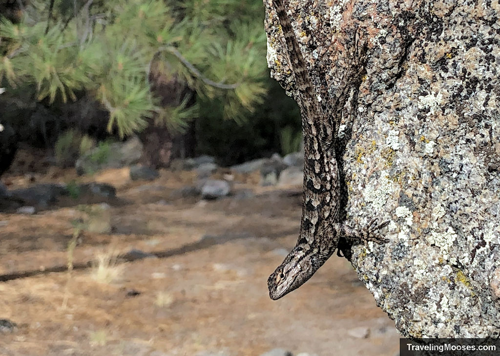
The logs also provide homes for lizards, snakes and other small animals. We can attest to the abundance of lizards found in the area.
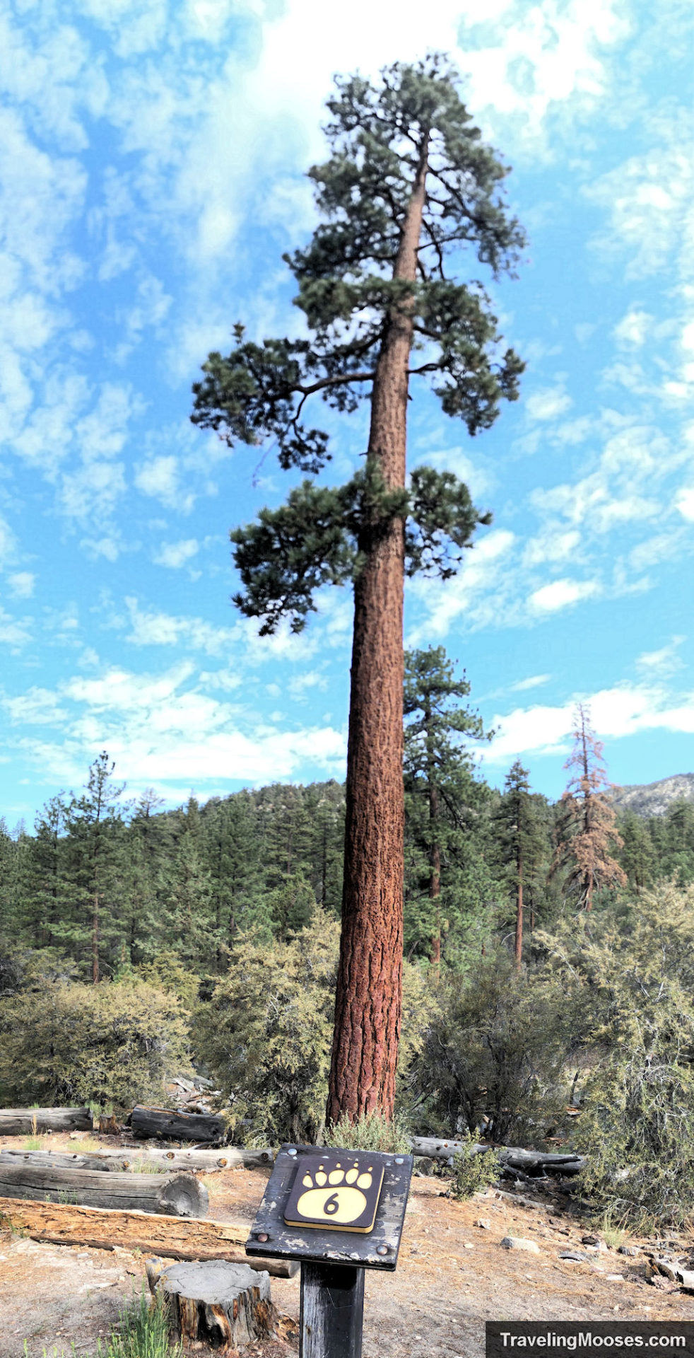
Interpretive Marker # 6 – Jeffrey Pine
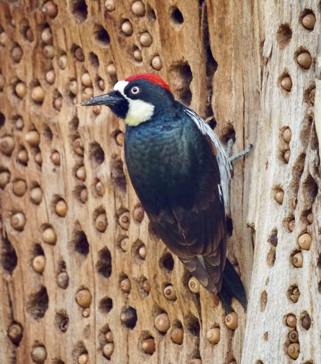
We were happy at the next marker to be met with a new kind of tree, the Jeffrey Pine. This was our favorite stop along the interpretive trail. The Jeffrey Pine is an important home for Acorn Woodpeckers. They utilize the tree to drill hundreds of holes (whether living or dead), to store their acorns. In the fall, if you look closely, the acorns will be stuffed in the holes for the woodpeckers to eat over the winter. Unfortunately, it was summer when we visited and there were no acorns, but we did see many holes in the bark. If you have the chance to go in the fall, you may see the woodpeckers aggressively defending their food source from other animals.
Near the sixth marker we found a nice bench to sit and relax for awhile if desired. It would be a fun place to stop for awhile if the woodpeckers are out. For now, we had to move forward and settle on seeing a woodpecker at the nearby Big Alpine Zoo.
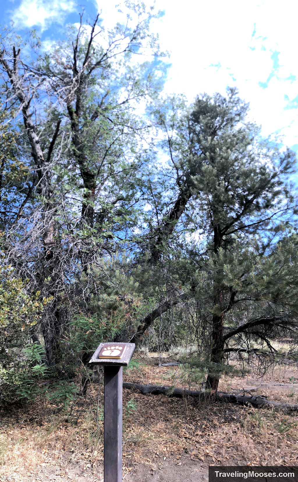
Interpretive Market # 7 – California Black Oak and Canyon Live Oak
Next up we came to the seventh marker and two beautiful oak trees. While both oak trees produce acorns for the many animals that live in the area, their similarities end there. The Black Oak is a deciduous tree and loses its leaves in the fall. It gets its name from the dark bark on the trunk that is visible in the winter months. The Canyon Live oak is an evergreen tree that keeps its leaves year-round. This tree is also known as a canyon oak, golden cup oak, or maul oak. The canyon live oak will regenerate aggressively after forests fires through a process called basal sprouting. This tree is even known to clone itself from a single ancestor without sexually reproducing.
As we continued along the trail, we noticed the first half of the interpretive trail seemed to be more compact as the second half had much further distance between the trail marker signs.
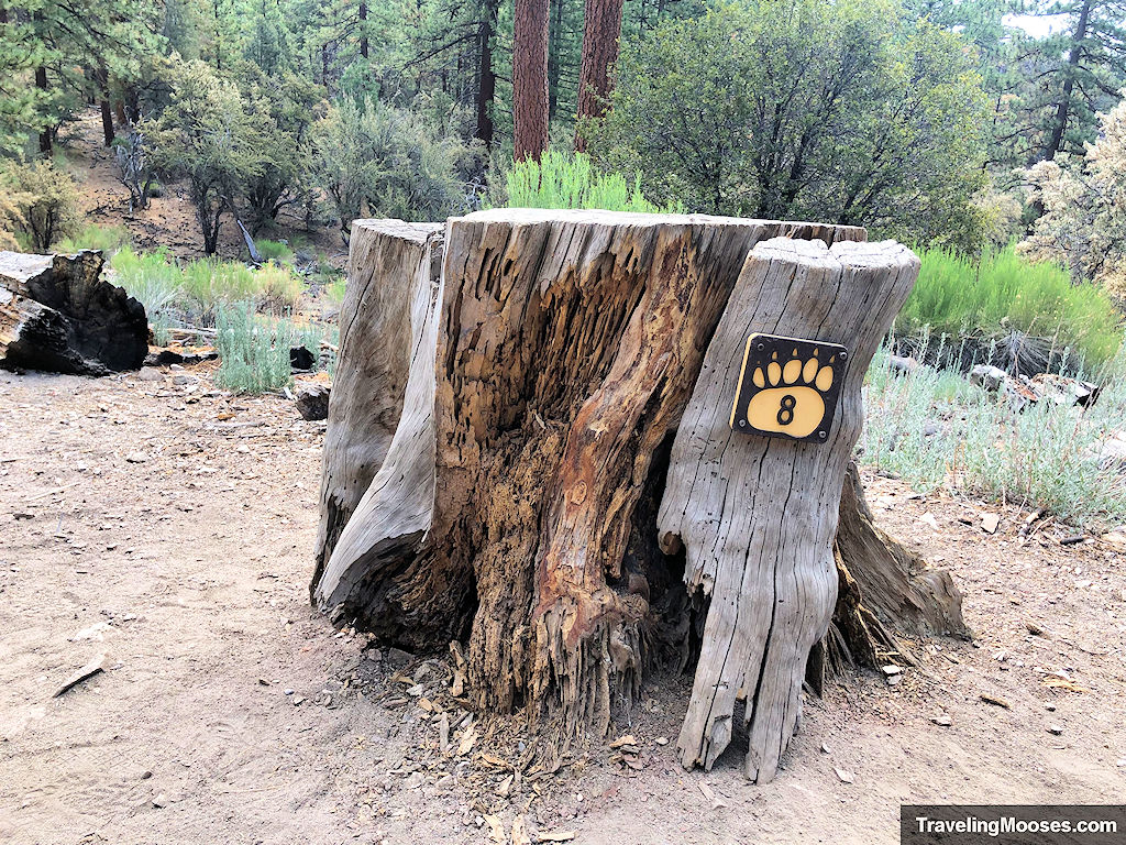
After we passed the seventh marker, we continued along the trail enjoying the scenery and came across the ninth marker. What happened to the eighth marker? We turned around and back-tracked to a clearing that would have been on our left (now on our right). There it was, the eighth marker attached to a tree stump. The eighth marker is the only one not on a stand-alone pedestal.
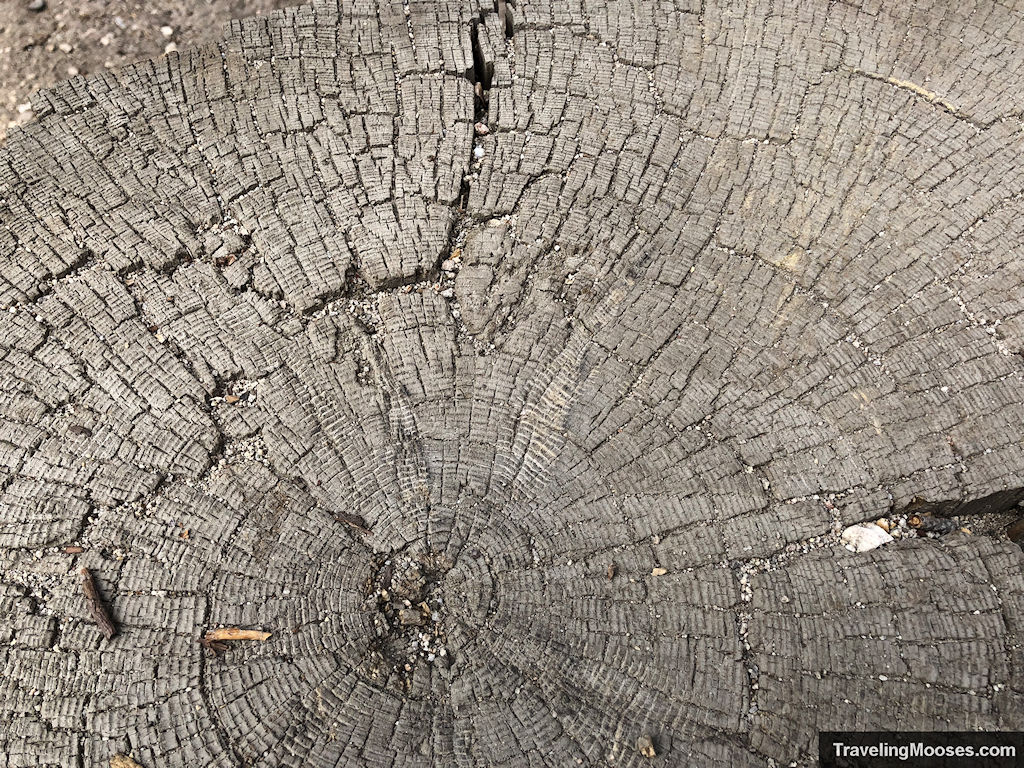
Interpretive Marker # 8 – Tree rings
We finally arrived at the tree stump and were met with a challenge. Determine the age of the tree and answer the question, are you older or younger than the tree? To determine the age of the tree, we needed to count the number of rings left behind on the trunk. Each ring is one year of age. You can tell if the tree had a good year of growth or not depending on the physical distance between the rings. In good years with plenty of water, the rings will be further apart indicating more growth. Years of drought or harsh conditions show rings closer together. The number of rings on the tree was 351 before it was cut down.
Interpretive Marker # 9 – “Packrat” den
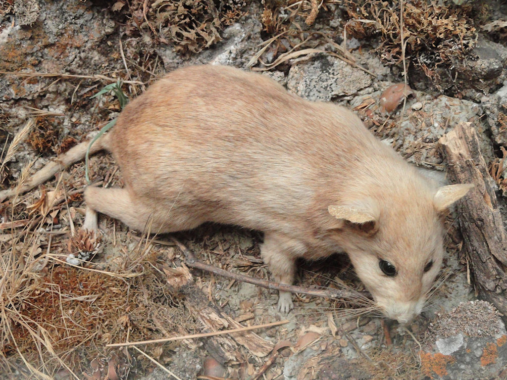
Back on the trail, we arrived back at the ninth marker. At base of a Canyon Live Oak was a tangled mess of tree limbs, pine combs and other forest debris. We had found the “mansion” of a woodrat, otherwise known as a “packrat.”
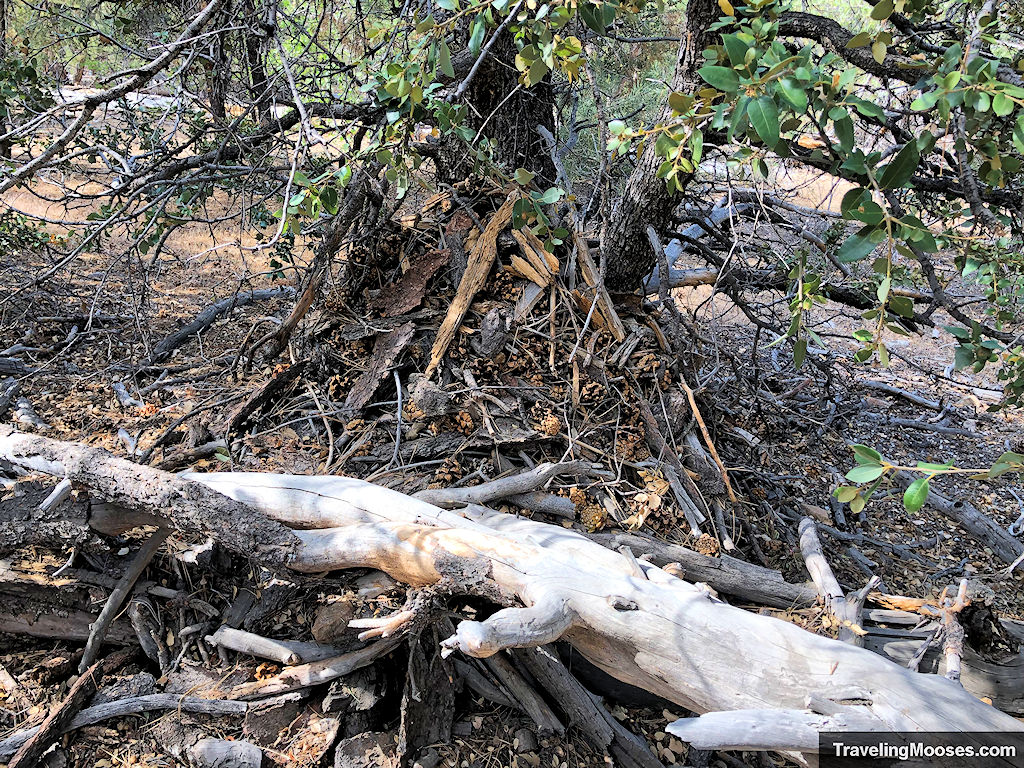
We learned that woodrat homes are also known as “middens” and can become very large as the rats will make additions to the homes for many years. The rats have even been known to take over “houses” that have been abandoned and continue to expand and change the structure. We didn’t get to see one of the woodrats while we were there as they are mainly nocturnal. However, they can be active during the day and you might get lucky.
Interpretive Marker # 10 – Jeffrey Pine part 2
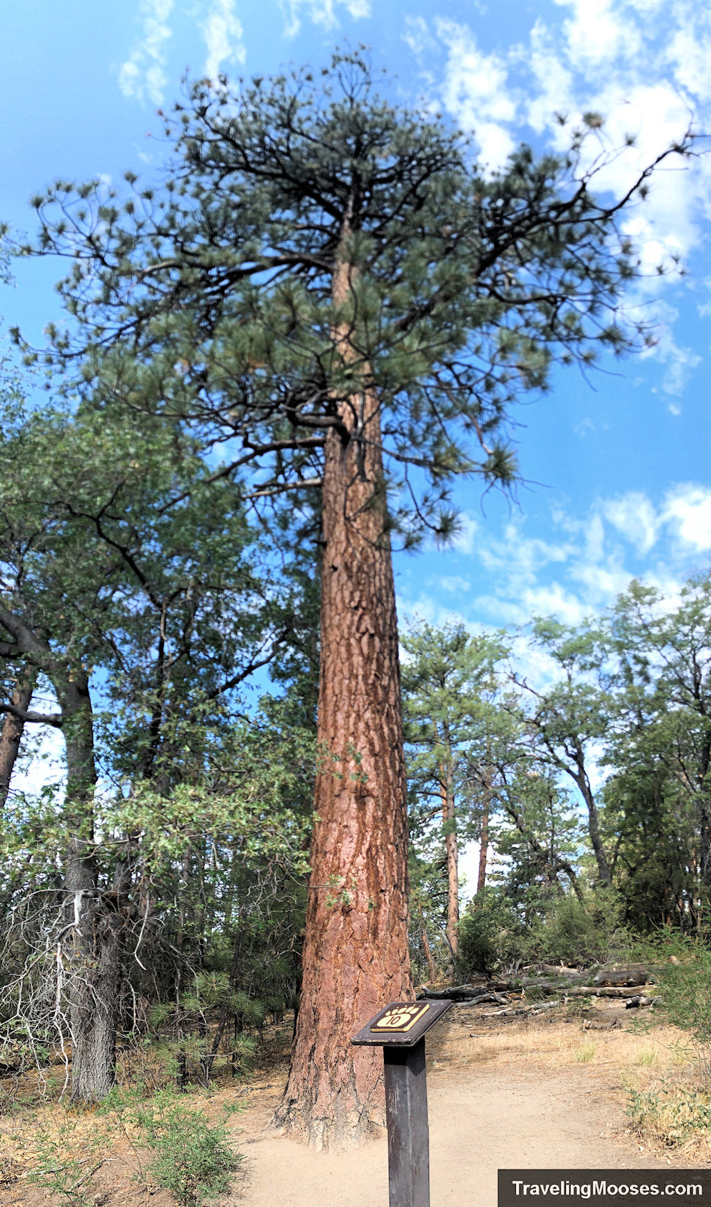
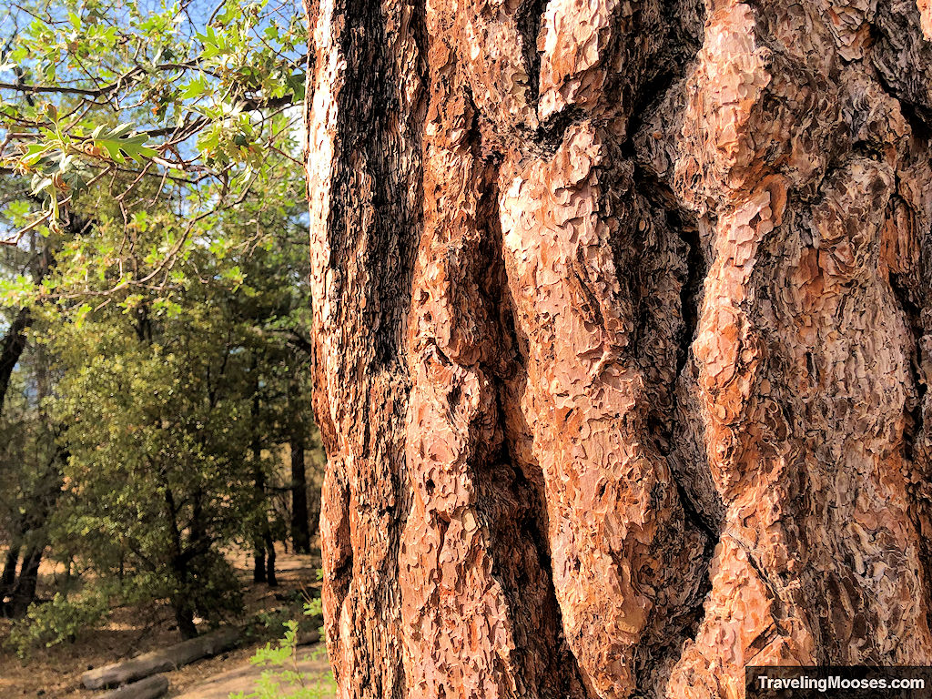
As we approached the tenth marker, we saw a familiar sight, another Jeffrey Pine. Unlike the Canyon Live Oak that can still flourish in the event of a forest fire through clonal diversity, the Jeffrey Pine has a different defense mechanism. As the tree grows larger, the lower branches die and fall off which helps prevent the tree from catching on fire from the forest floor. The tree also has a tremendously thick bark, up to 6” deep, which can help fight back the flames. While inspecting the bark, be sure you take a big whiff as the bark smells like vanilla (as least it did to us).
Interpretive Marker # 11 – San Gorgonio Summit
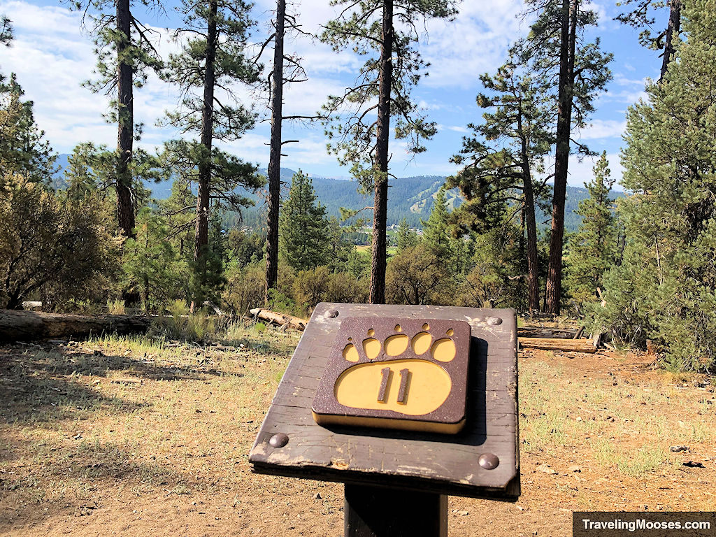
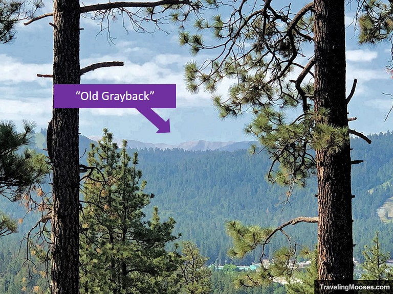
The highest peak in Southern California rests in the San Bernadino Mountains and can be seen on a clear day at the eleventh marker. Nicknamed “Old Grayback” because of the lack of trees at the summit, this peak has a total elevation of 11,503’ and was first climbed in 1872. If you’re up for a challenge, you can try your hand at summiting Old Grayback, with the shortest route coming in at approximately 18 miles round trip and over 5,000 feet in elevation gain.
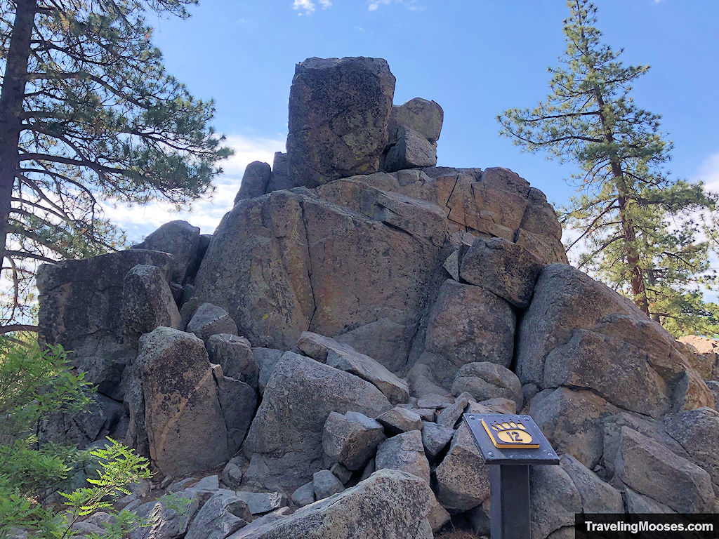
Interpretive Marker # 12 – Granite Rock
Rounding the bend on the trail, we came across our next point of interest, a large collection of huge granite rocks. While it’s no secret that many critters live in the forest, this is a particularly fond area for the Southern Pacific rattlesnake to call home. Climb at your own risk.
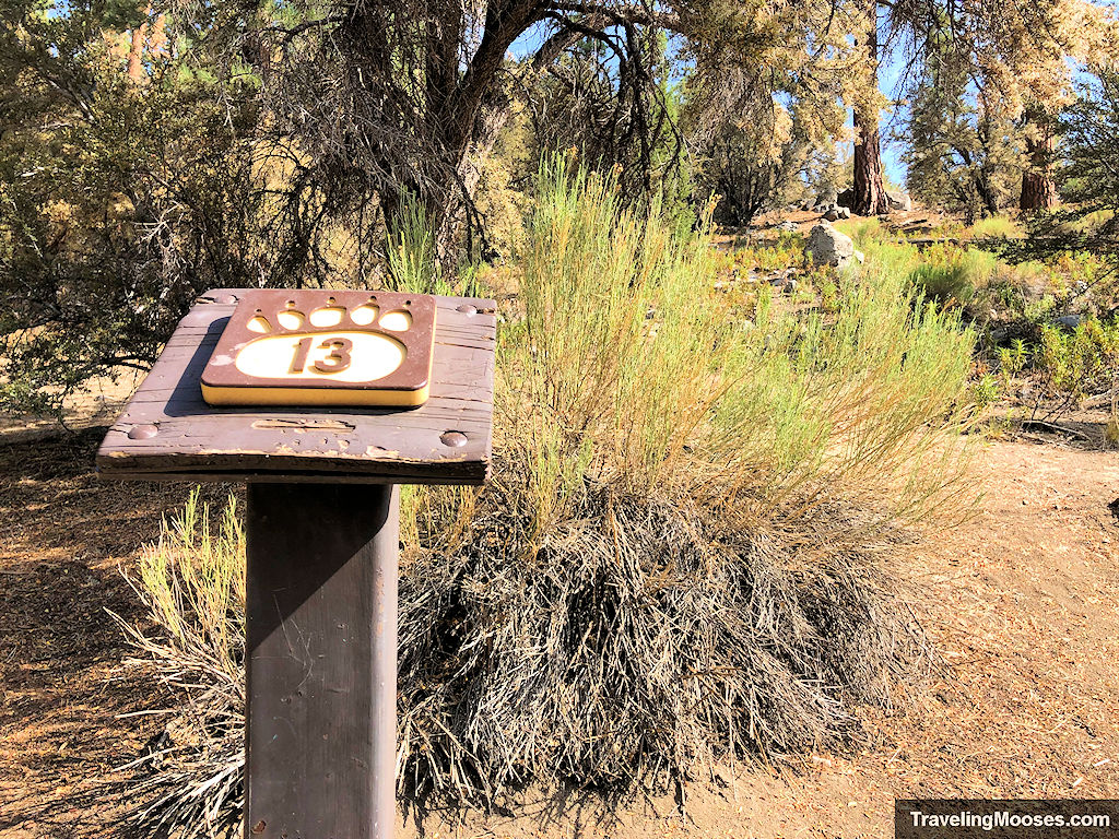
Interpretive Marker # 13 – Yerba Santa
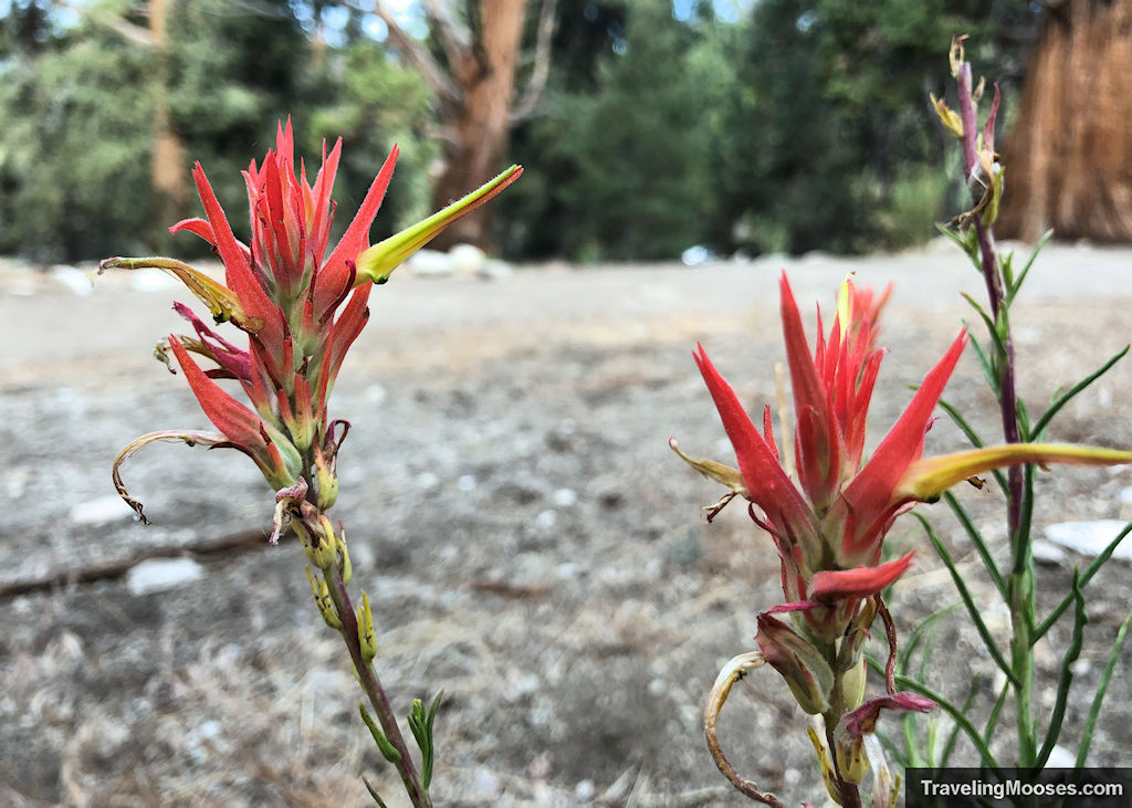
As we continued our journey, we next came across a large Yerba Santa plant, otherwise known as “Indian chewing gum.” This plant is extremely hardy and able to withstand the hot summer sun from its shiny leaves that prevent it from drying out. The Yerba Santa plant supposedly tastes like spearmint, so of course I had to try it. They were right! It tasted like spearmint to me.
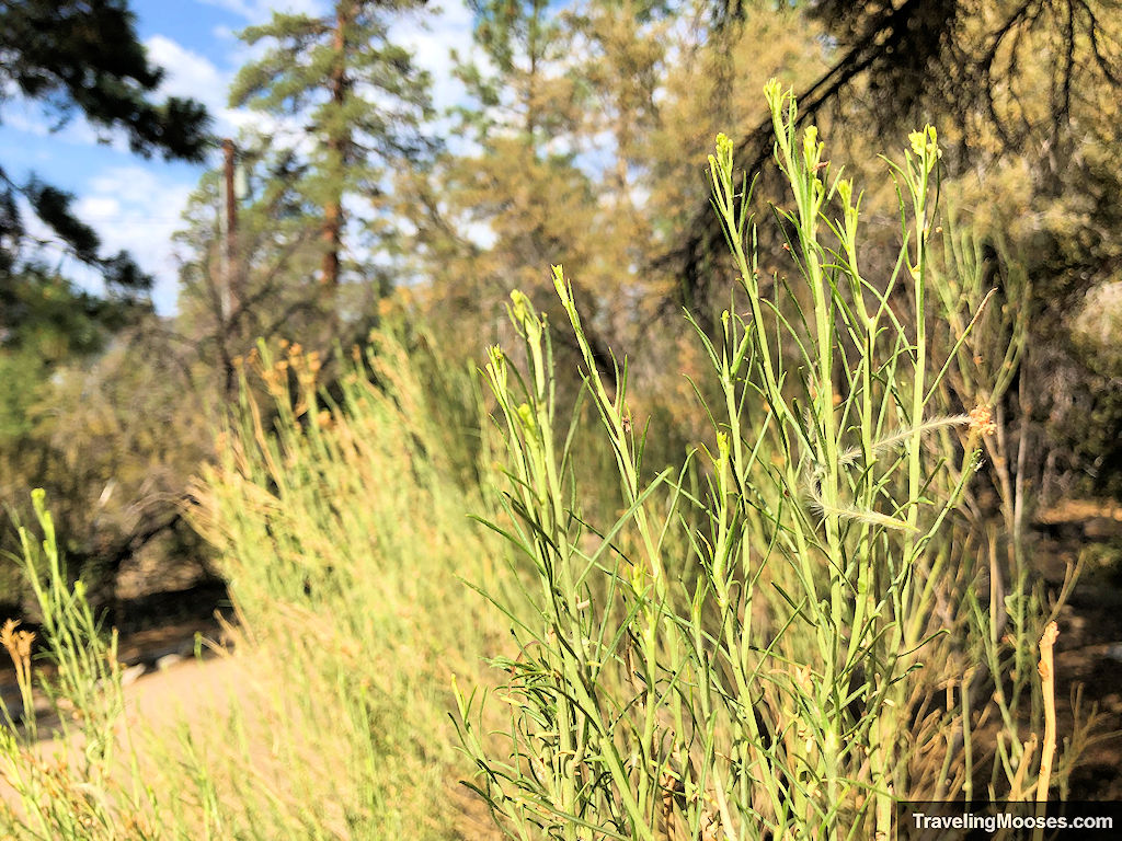
Not to be outdone, next to the Yerba Santa plant was a Rubber Rabbitbrush. The bark of this plant was also used for chewing gum. Other uses included yellow dye, cough syrup and tea.
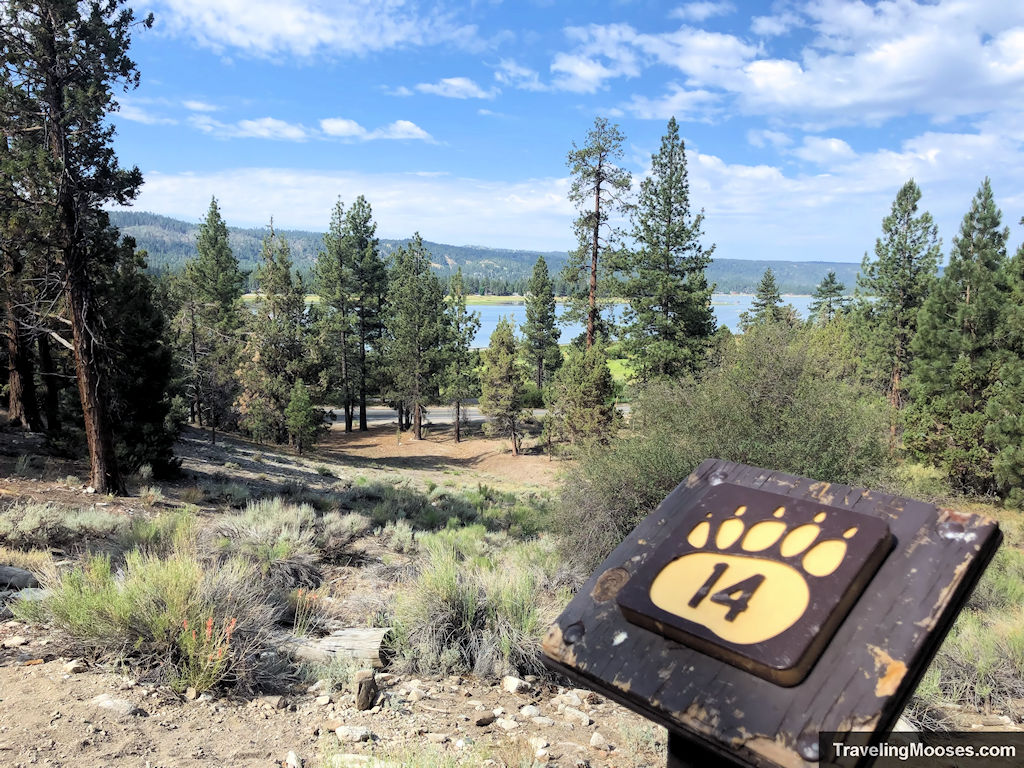
Interpretive Marker # 14 – Animal Trails
The next marker seemed more like a scenic overlook than a true interpretive stop, but was meant to highlight various modes of “transportation” through the forest. You can see Big Bear Lake, the Alpine Pedal bike path and even the highway that winds around the lake. There is also a hint of an animal trail that winds through the forest which is used for bobcats, coyotes, and mule deer on their way to the lake. We didn’t see any animals, but keep your eyes posted.
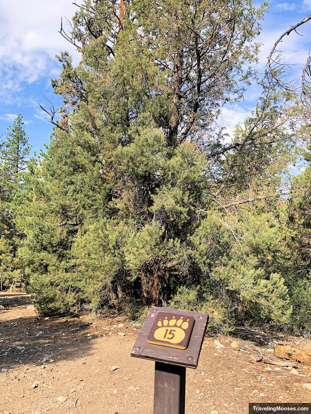
Interpretive Marker # 15 – Pinyon Pine
Next up was the glorious Pinyon Pine tree. The Pinyon can be found in the southwestern part of North America and provides delicious edible pine nuts used by the local animal population (and humans love them too). It’s always a race to harvest the versatile pine nut as waiting too long means the local animal population will get to them first. Luckily, the grocery store has plenty of pine nuts available for a tasty snack.
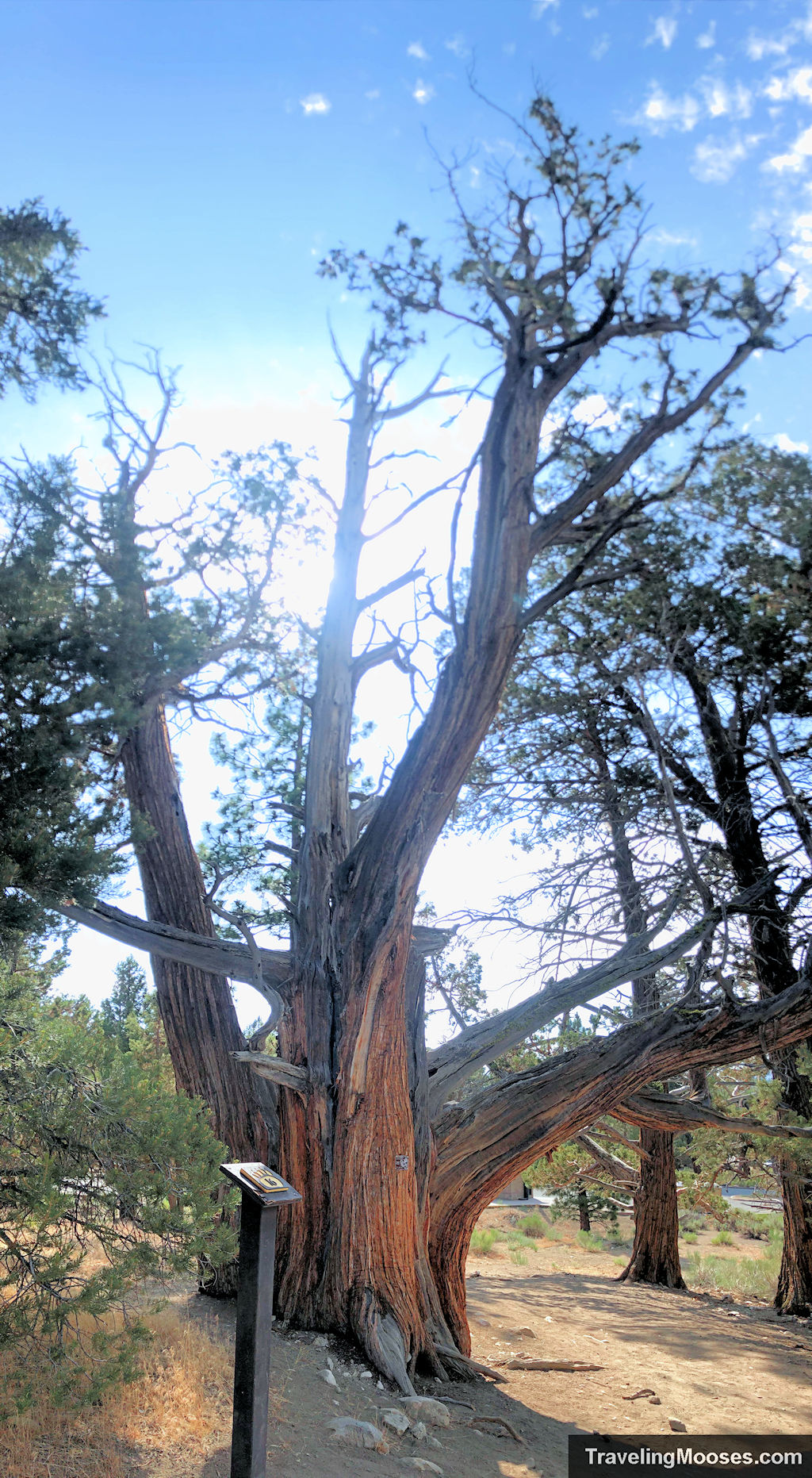
Interpretive Marker # 16 – Back to the Junipers
We end where we started in examining more juniper trees. This juniper was quite unique as many of them grow together. While the trunk in the middle is dead, the surrounding trunks are quite alive and thriving. The dead limbs provide an important habitat for many animals.
After the 1.5 mile hike (that seemed much longer in the heat), we made it back to the parking lot well before our 10 a.m. pass expired.
The bottom line
Rating: 3.5 Mooses
- What we liked
- Learning about the history of various points of interest was nice
- The trail was easy to follow
- The brochure provided by the USDA Forest Service was helpful
- What we didn’t like
- Some of the designated points of interest were difficult to locate as the sign markers were often times off the trail (we’re looking at you marker # 8)
- It was pretty hot the day we were there and shade was inconsistent on the trail
Verdict: It was a nice diversion while we were in town, but we recommend checking out the Cougar Crest or Castle Rock trails instead.
Ready to visit?
Trail location
The trailhead is located at: 41948 N. Shore Dr, Big Bear, CA 92314.
Trail loop map
You can find the map on the Forest Service website here.
Parking
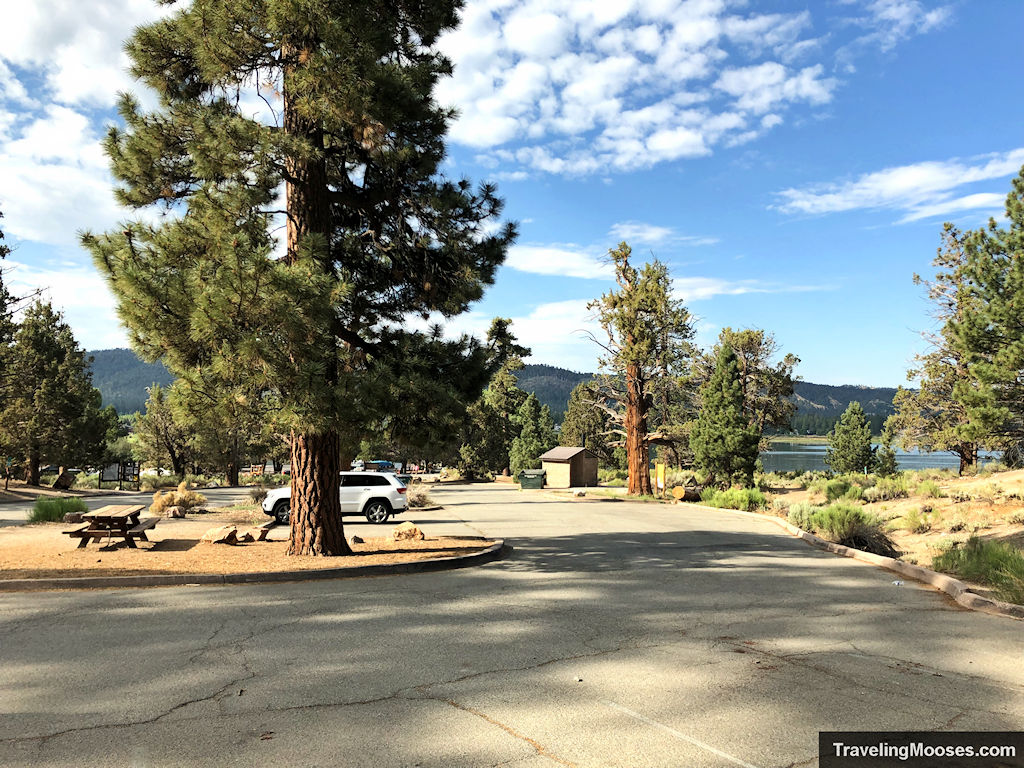
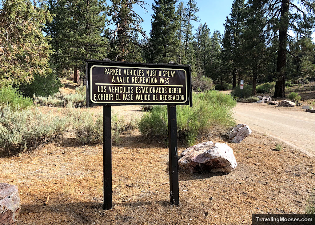
There was plenty of parking at the trailhead, however an Adventure Pass is required to park there. It costs $5 daily or $30 for an annual pass. Passes can be obtained at the nearby Big Bear Discovery center, or at many local gas stations such as 7-11. A full list can be found here.
Woodland Interpretive trail rules
- No motorized vehicles are allowed
- All plants and animal are protected.
- Pets are allowed on a leash.
- Fires and camping are prohibited.
- Always stay on designated paths.
Trailhead Amenities
- Vault toilet
- Picnic Tables
- Trash Cans
More Information for your trip to Big Bear Lake, CA
- HIKING: Bob Sled hiking trail at Snow Summit
- ATTRACTIONS: Hot Shot Mini Golf
- DAY TRIP: Hike up Mount San Jacinto
- DAY TRIP: Visit the Borrego Springs Metal Sculptures
- DAY TRIP: Explore the Salton Sea
You might also like:
- NEVADA: A Nature lovers guide to Vegas – what not to miss
- NEVADA: What Vegas looks like in the snow
- CALIFORNIA: Hiking Gower Gulch in Death Valley

