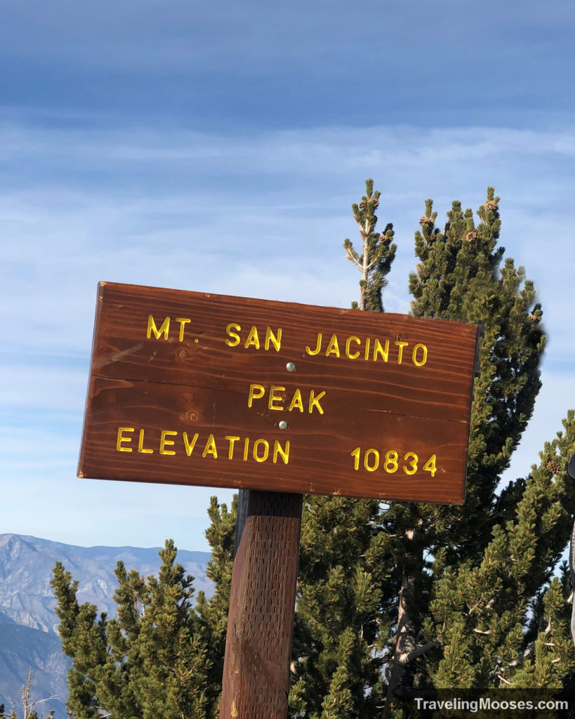
San Jacinto Peak via Aerial Tramway at a glance
| Trail Description | Out & back |
| Trail Location | Top of Palm Springs Aerial Tramway |
| Trail Start | 33.8126428,-11663902 |
| Round Trip Mileage | 11 Miles |
| Average Time | 6 – 7 Hours |
| Difficulty | Strenuous |
| Tram Fees | $30.95 for adults, $18.95 children (as of 2023): purchase tickets |
| Permit | A permit is needed for this hike. It is free and available at the ranger station at the beginning of the trial. |
| Parking | $15 for cars and motorcycles (see current prices here). |
| Elevation Gain | 2,644′ |
| Highest Elevation | 10,834′ |
| Best time to visit | Late spring, summer and early fall |
| Rating | 5 Mooses |
Our experience summiting San Jacinto Peak
We were both excited and nervous to trek up San Jacinto Peak, although we were taking the “easy” route. Clocking in at 5.5 miles each way and a total of 2,644′ feet in elevation gain, this wasn’t going to be a walk in the park. Not to mention the “I Shouldn’t Be Alive” episode we watched about the couple that got lost nearby and nearly died. There were also other stories of hikers having trouble on the mountain…12 hikers were rescued over one weekend, a hiker perished in the winter, and one who tragically died while attempting the Cactus to Clouds trail.
Still, we were determined to see the summit.
The easiest way to summit San Jacinto Peak is to ride up the Palm Springs Aerial Tramway and begin the hike from there. Alternatively, you can take on the “Cactus to Clouds” trail from the desert floor, but we weren’t ready for a 15+ hour hike and nearly 20 miles in one day.
We arrived early to the tram and were able to snag tickets on the first ride up. As we were waiting, the area filled up quickly and we soon found ourselves packed to the brim on the ride up the hill. We learned on busy days that season ticket holders were limited to a small number on each tram to make room for day-use customers.
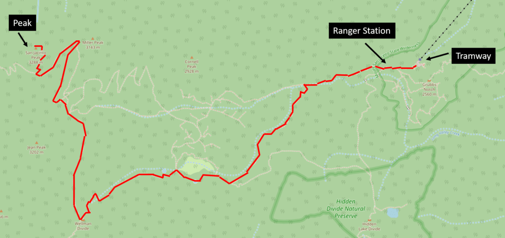
The trail starts out easy from the tram station and after a brief stop at the ranger station to procure our wilderness permit (free), we began our hike.
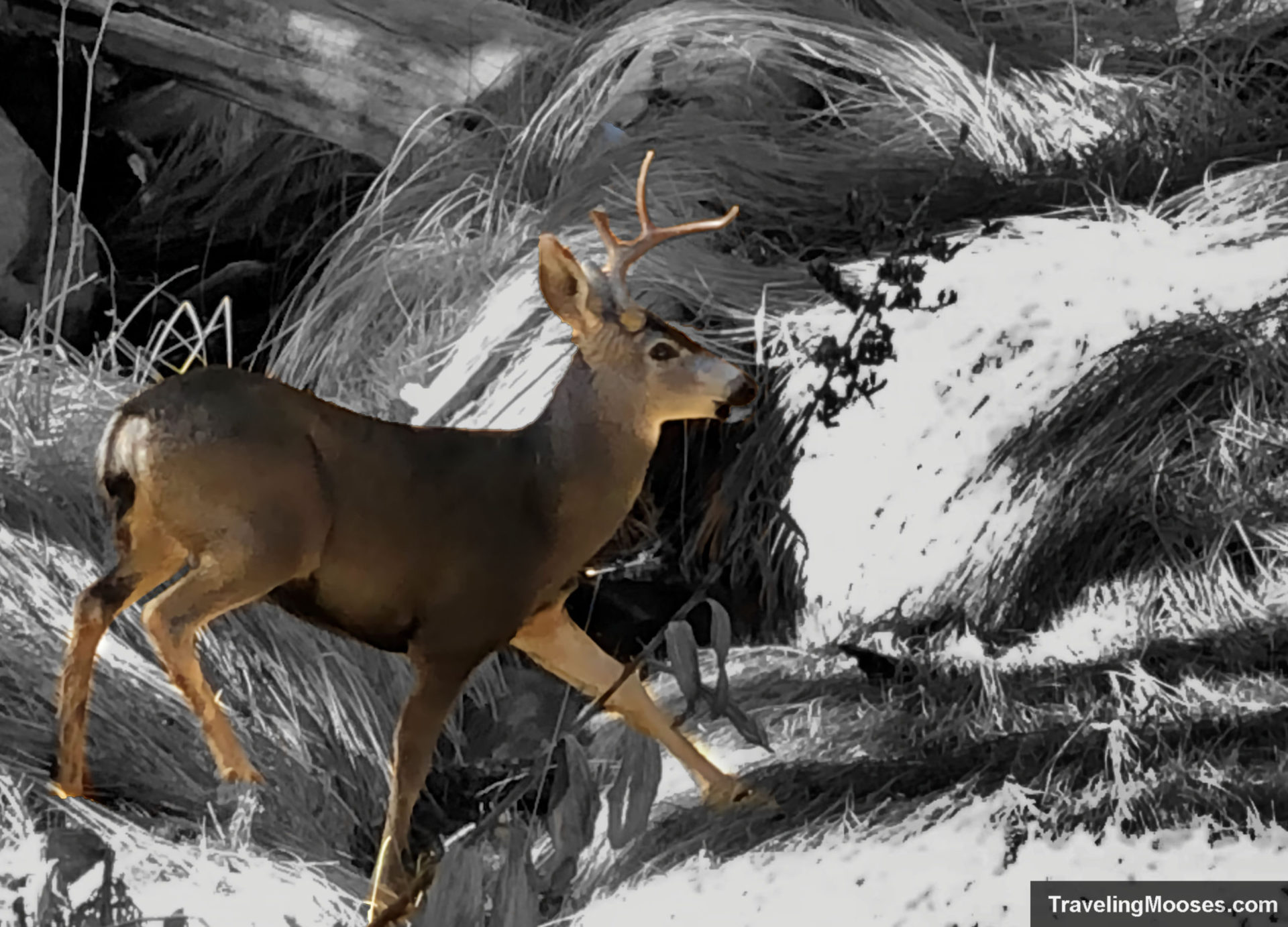
Not long on the trail, we were pleasantly surprised by a frolicking deer wandering through the forest. The deer even made a second appearance near the same area when we were headed back down.
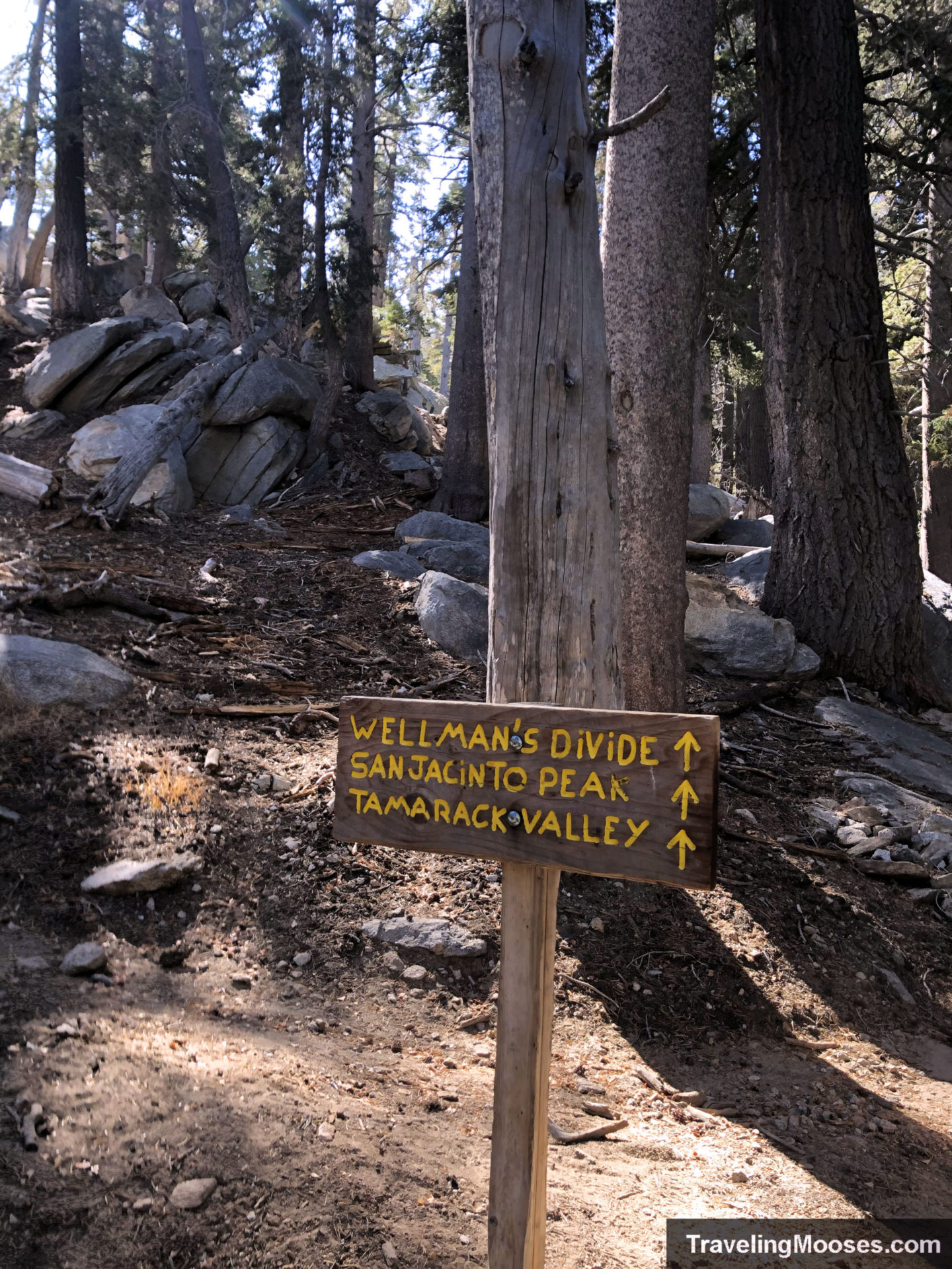
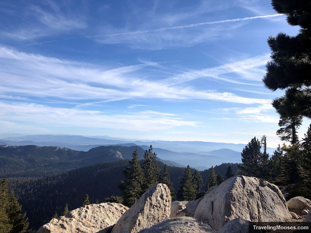
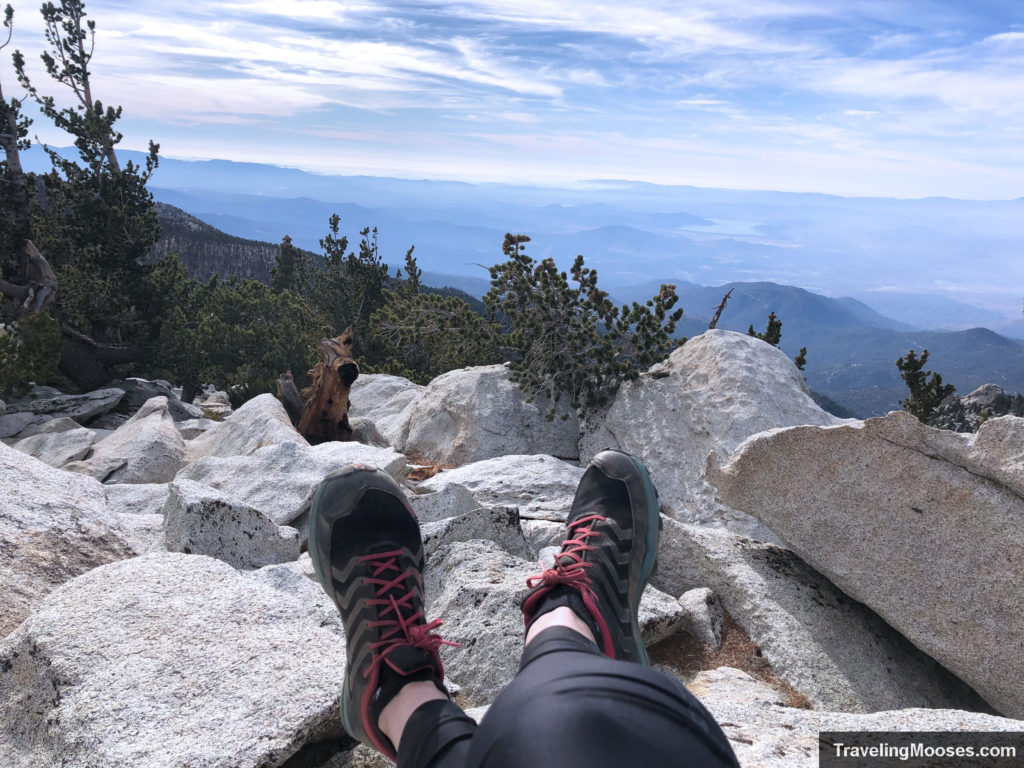
Once you pass the Wellman’s Divide and take the fork towards the summit, the main part of the elevation gain really kicks in. It’s a long slog up the final push to the summit, but once you’re there, you’re met with beautiful sweeping views of the valley.
Views from the San Jacinto Summit
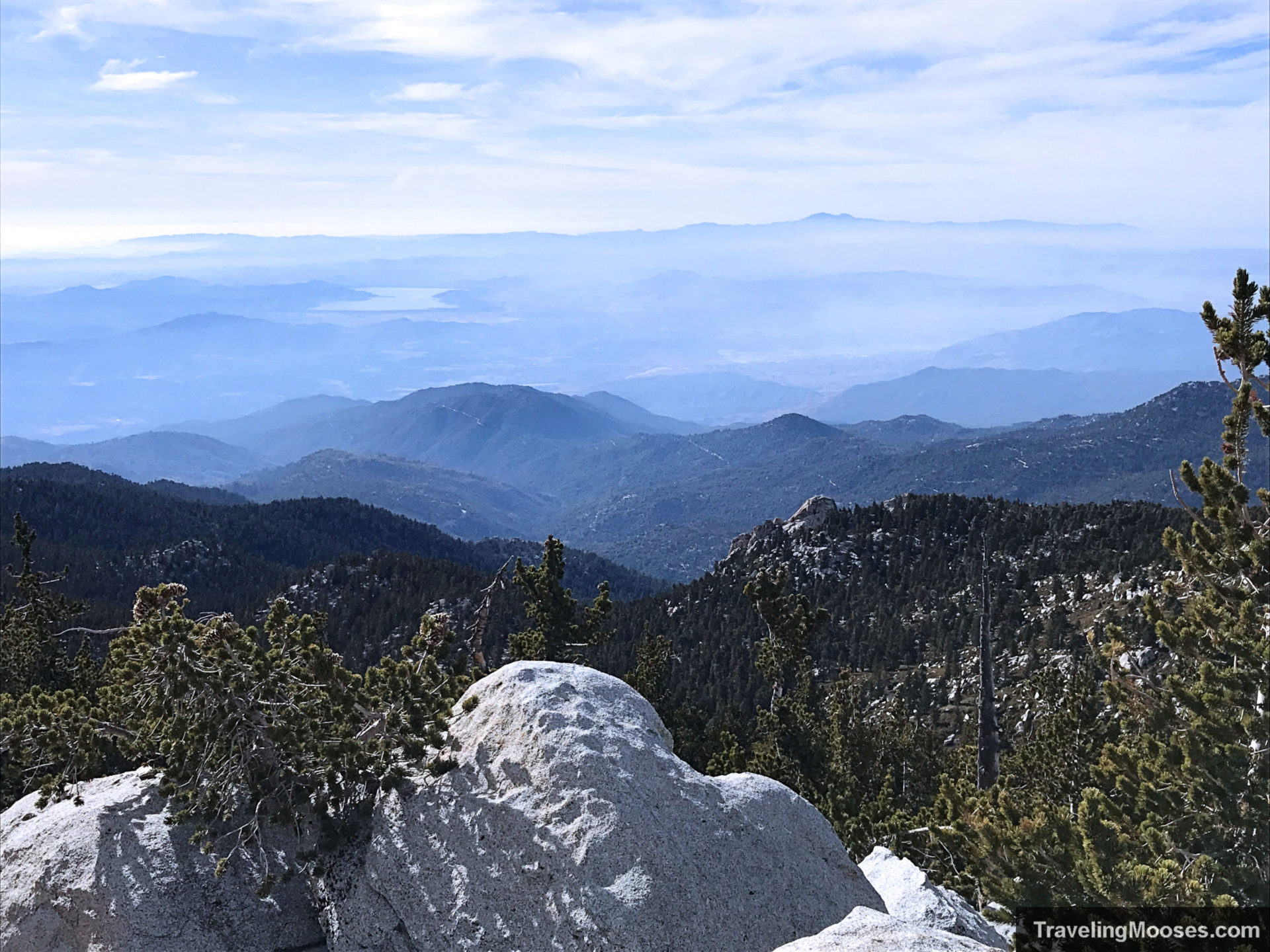
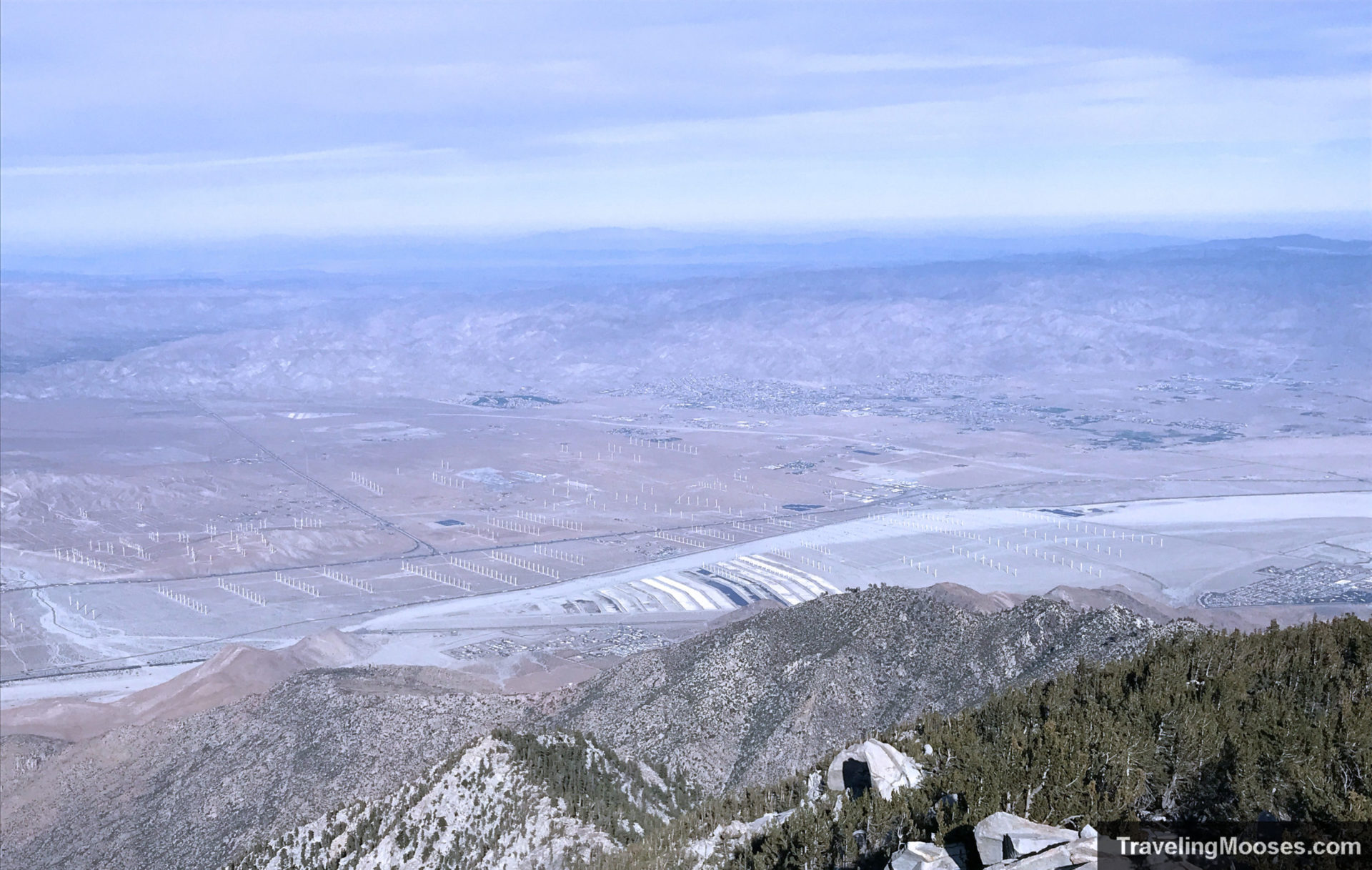
While we took the short version of the trail (utilizing the tram), we did run into several folks that had come up from the valley floor. They left around 3AM that morning and summited around the same time we did. They seemed exhausted but excited to have made it up.
We ended up back at the tram to catch the 4pm car down the hill. The last tram leaves at 6pm which doesn’t leave a lot of time for the hike if you don’t get started early. Be sure to check their website for current operating hours.
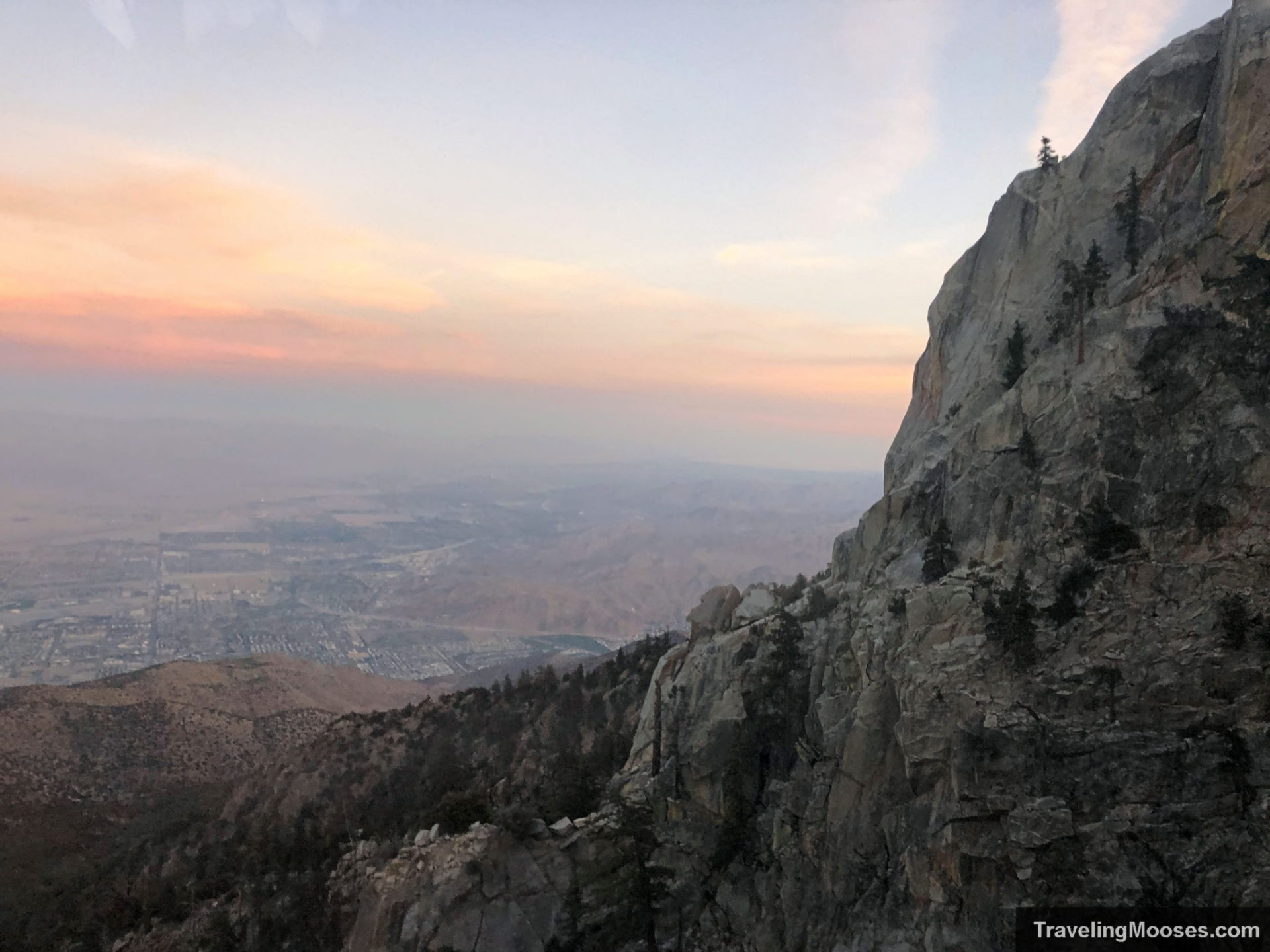
Know before you go:
- Get advance tickets and take the earliest tram possible. It gets dark early and the hike takes longer than you would expect.
- Parking fees & tram tickets are required before you arrive. You will be turned around at the base of the mountain if you don’t have proof of your tickets.
- You’ll need to stop at the ranger station and get your free wilderness permit near the beginning of the trail. This helps with search and rescue attempts and tracks the number of hikers.
- Check the weather before you heard out, especially if hiking in extreme heat or winter conditions. Trail conditions change quickly.
- Take the 10 essentials with you and stay on the trail. It’s easy to get turned around on this hike and there have been many incidents over the years on this mountain.
- Cell service doesn’t work great up there, plan accordingly.
- Get ready for an epic hike!!
Trail Map for San Jacinto Peak
Should you hike the San Jacinto Peak?
Rating: 5.0 Mooses
- What we liked
- The chance of seeing wildlife on the trail
- Beautiful views on the summit
- What we didn’t like
- The crowded tram during a busy day
Verdict: We felt it was worth the money to head up the tram and summit San Jacinto Peak.
Frequently Asked Questions about summitting San Jacinto Peak
Do I have to pay for the Aerial Tramway to Summit San Jacinto Peak?
No, but we recommend you do. You can hike from the valley floor in Palm Springs to the summit. The Cactus to Clouds hike, (out and back) covers 19.8 miles round trip and 10,459′ in elevation. Not for the faint of heart, the average time for completion is over 15 hours. It is an option if you want to avoid the Tramway fees.
Are dogs allowed on the Mount San Jacinto Peak Trails?
No, dogs are not allowed (except service pets).
You might also like:
- California: Summiting Mt. Tallac in Tahoe
- California: Hiking Gower Gulch in Death Valley
- Nevada: 4 Hours in the Valley of Fire
- Nevada: A Nature lovers guide to Vegas – what not to miss
