Lake Blanche Trail Map
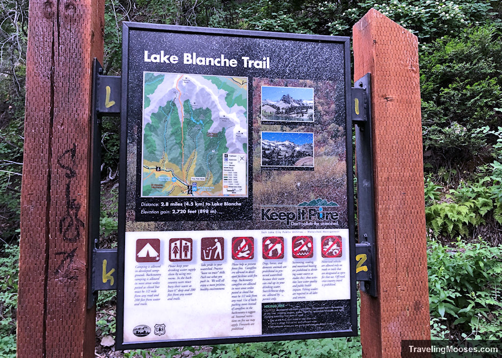
A trail map (seen below) can be found at the start of the Lake Blanche Trail located near the Mill B South parking in Big Cottonwood Canyon.
Related: Check out our complete review of the Lake Blanche trail here or the video of our experience here.

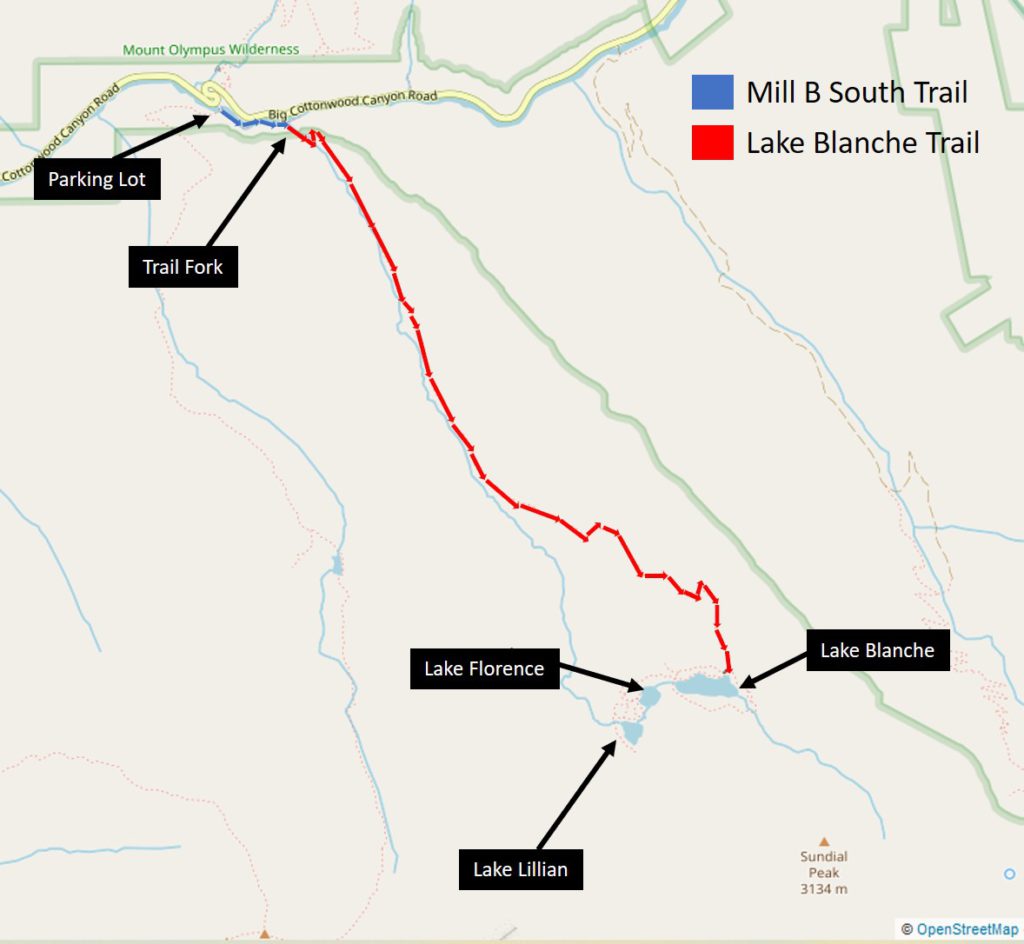
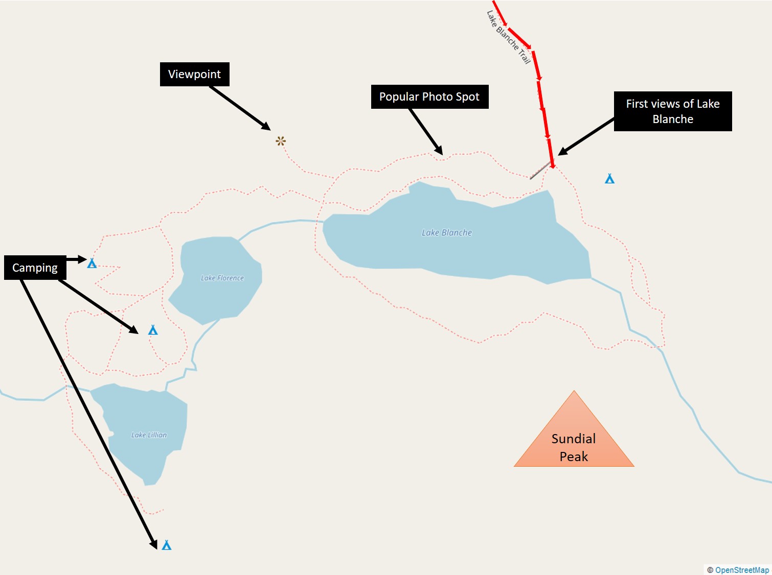
We’ve also included a detailed map of our route and the lakes at the summit of the trail.


Related: Information about parking for the Lake Blanche Trailhead.
More information for your trip to Salt Lake City:
- Hiking: Our complete guide to the Lake Blanche trail
- I-15 Road trip stop: Discover the secret Kolob Canyon Area
- Best view in Salt Lake: Soar above the city at Ensign Peak
- Park City: Spend a day like an Olympian at Utah’s Olympic Park
You might also like:
- Nevada: A nature lovers guide to Vegas – what not to miss
- California: Experience the beauty of California
- Gift Guide: Best gifts for Female hikers

