Black Mountain Hiking Stats
| Trail Description | Loop or Out-and-back |
| Summit | Black Mountain – Henderson, NV 89052 |
| Parking Area | Black Mountain Trailhead / Shadow Canyon Access Point, Henderson, NV 89052 |
| Round Trip Mileage | ~7.25 miles for loop or 6.8 miles for out and back from summit |
| Average Time | 3.5 – 5 hours depending on route |
| Difficulty | Strenuous |
| Entrance Fees | None |
| Parking Fees | None |
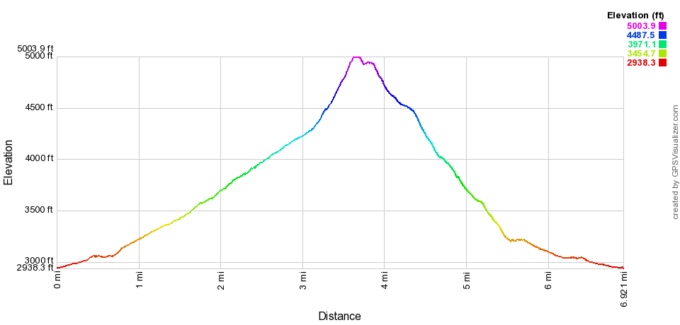
| Elevation Gain | ~2,100′ |
| Elevation at Summit | 5,092′ |
| Best time to Visit | Oct 1 – May 15 |
| Rating | 4 Mooses |
What to expect on Black Mountain trail
Just a ‘quick’ 30-minute drive to the Shadow Canyon access point turned into a much longer drive when dealing with rush hour traffic at 7:30 AM on a Wednesday.
In our efforts to get on the trail early before the spring heat set into the desert, we neglected to think about the impact of traveling across Vegas on a busy workday. Add that to the never-ending list of things to consider before hiking. We should really make a list…
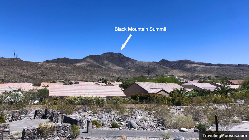
The trailhead was smack dab in a ritzy neighborhood in the newer part of Henderson. We passed by the guard-gated Anthem Country Club the Vegas elite call home and pulled into the smallest trailhead parking lot I’ve ever seen.
Just five, maybe six cars could squeeze into it. And while much of the neighborhood had ‘no parking’ signs on the streets, this street didn’t have any restrictions. We snagged one of the few coveted spots in the lot, but don’t despair if you’re not early enough.
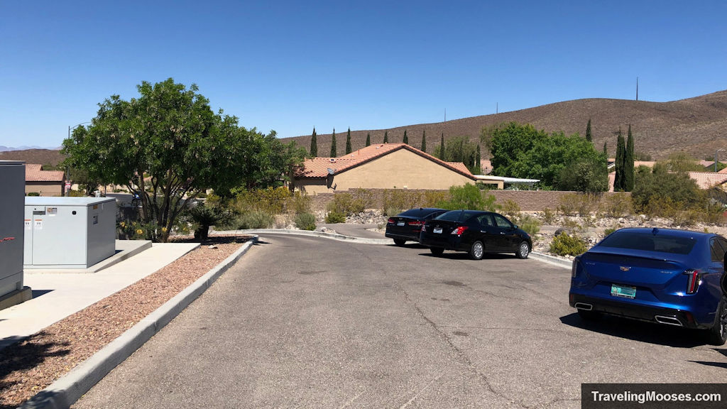
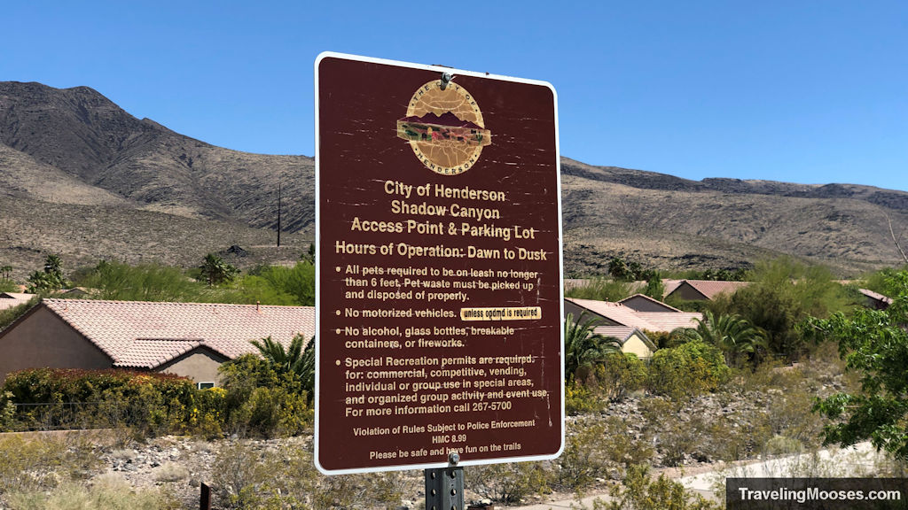
The parking lot had signs warning of no ‘commercial’ activities allowed, but the lot was free and no parking pass was required. We couldn’t fathom what type of commercial activities would go on at such a small venue, but to each their own.
We grabbed our gear and started our journey to the Black Mountain trailhead via the wide (large enough for a car) and paved Anthem East trail.
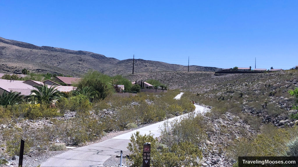
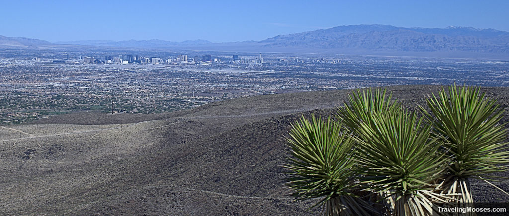
After less than a half mile, we arrived at what looked to be a retention basin and the official start of the trail. We paused at a cinder-block building to take a picture of the official trail sign and enjoyed the first of many breathtaking views of the Vegas skyline.
The Black Mountain trail begins
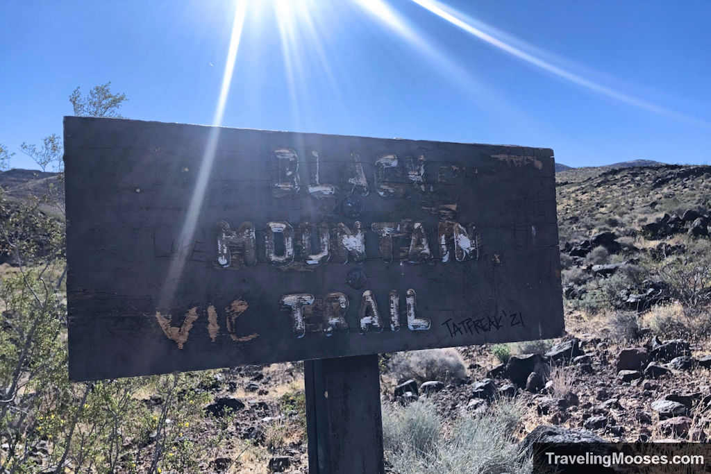
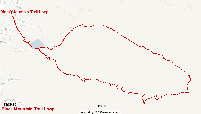
There are two options to reach the summit of Black Mountain. You can take the designated Black Mountain trail (also known as the ‘404’ trail) out and back to the summit (around 6.8 miles), or you can opt to complete the Black Mountain Loop which is approx. (7.25 miles).
We opted for the Black Mountain loop on a counter-clockwise route.
Keep in mind the “loop” is still a “proposed” trail and not officially finished. While we didn’t have any issues completing the loop, there is a portion of the trail near the summit that wasn’t clear.
The trail starts easy and gently through the rolling hills of the valley. With views of the city, the occasional wildflower and Joshua trees dotting the landscapes, what’s not to love?
Not long after we officially started on the Black Mountain trail, we noticed large shiny black rocks. Made of manganese oxides/hydroxides, the rocks glinted in the morning sun and were strewn across the entire area.
I jokingly asked Mr. Moose if he checked the volcano forecast before we set out. The answer was a resounding no.
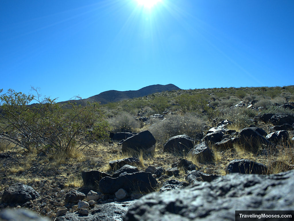
The trail is well marked and easy to follow on the way up to the peak with plenty of vantages to rest and take in the sights.
We found no shade on the trail to escape the relenting sun, but we were mostly pleased by the steady wind throughout the day.
I say mostly as some of the gusts were extremely strong and one point knocked my hat clear off. Luckily for me, Mr. Moose was able to rescue it!
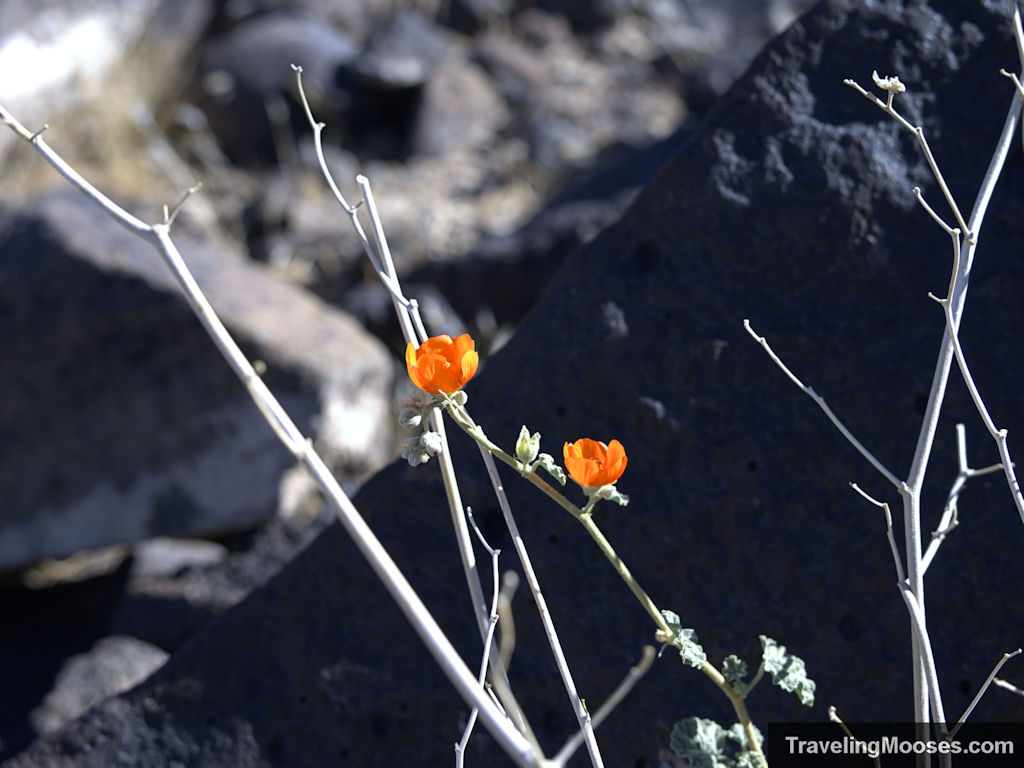
Given it was a mid-week hike, we saw very few people on the trail (4 to be exact), though we did hear some others in the distance on our way down, but never saw them.
Maybe half-way up the summit trail we saw something glinting in the sun to the west. Two dots that looked like mirrors shone in the bright sun in the distance.
We contemplated and then moved on before seeing there were now three and one of them appeared to be flashing. What in the world? Are those aliens? We later asked a local on the summit what they were. Of course, she said they were special solar farms…but we’re not buying it. 😉
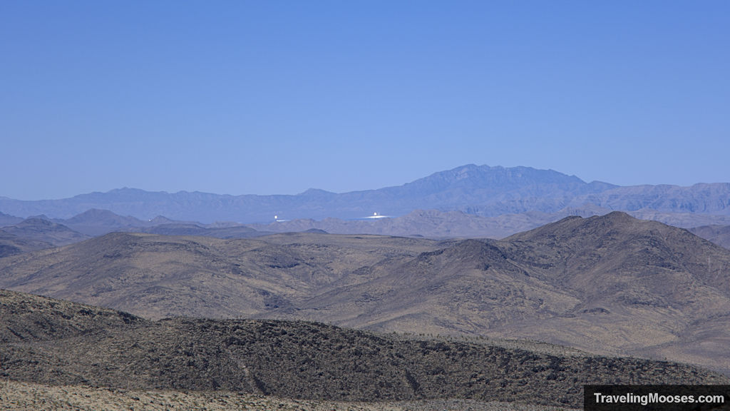
Far in the distance, glimpses of a flag standing proud at the summit becomes clear. In the last half mile of so of the trail, you’ll know you’re getting close to reaching the summit when the ground becomes incredibly steep and the scrambling begins.
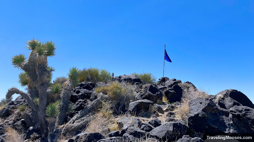
This last stretch gains a lot of elevation quickly and it’s best to go slow and carefully watch your footing.
The gravel can be loose, the ground steep and hands are required to make it up. If you’re like me and get a little queasy around heights (ok a lot), you’ll probably not enjoy the last stretch, but it is doable.
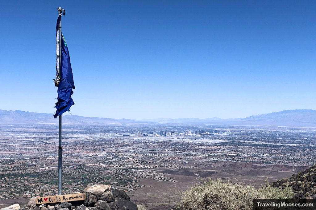
We finally made it to the summit and were rewarded with 180-degree panoramic views of the Vegas Valley to the north, solar farms to the south and west, Red Rock to the northwest and Lake Mead to the east. What a sight!
A shelter of rocks was built on the summit to give some respite from windy days. While the trail up (and later down) was filled with wind, we found them to be mild at the top.
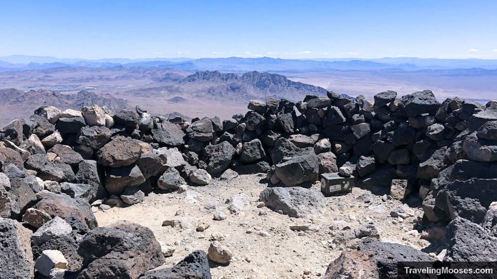
The Nevada flag proudly flapped in the mild breeze as the Vegas city rose out of the desert floor in the background. If you’ve seen pictures of the summit, you’ll notice that sometimes there is an American flag and sometimes the Nevada flag.
The visitor log box also contained the American flag carefully folded in the box. I do not know why sometimes one is up and sometimes the other is.
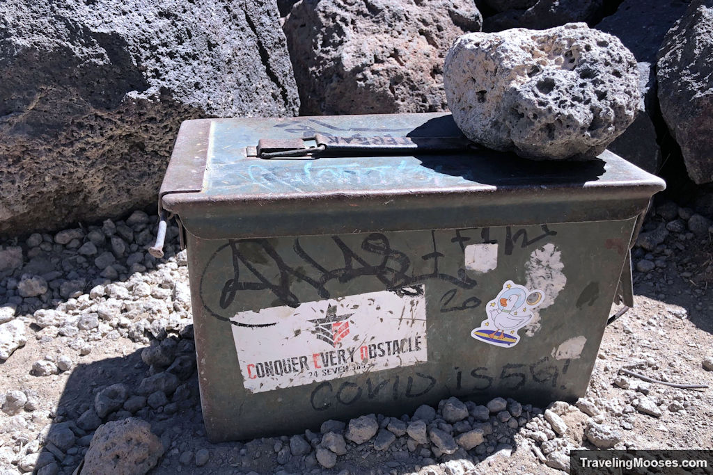
We enjoyed some snacks and solitude at the peak and decided it was time to plot our way down the back-side of the loop.
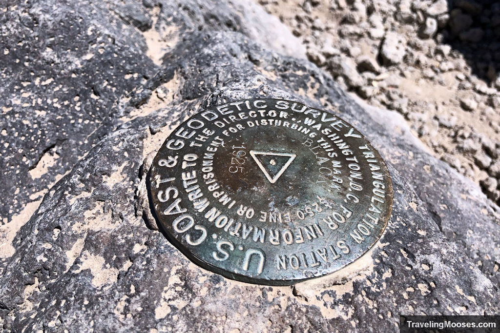
The back-side of Black Mountain Loop Trail
At the summit, there is a trail marker pointing to the direction of the loop trail, but shortly after crossing down the first ridge and over the second, the trail abruptly ends at a large pile of dark volcanic rocks.
Where’s the trail? With no obvious way to go, up and over seemed the best bet and if you happen to download the Alltrails App, it agrees.
After some more fun scrambling, the trail picks up again on the other side. With the boulders behind us, the remainder of the trail was easy to follow and after a mile or so down the mountain there are regular trail markers to keep you on track. We could see why the loop trail was only “proposed” as it’s clearly not finished.
The back side of the trail was even more beautiful than the front and had a different feel. Mountains rose up in the east and the Joshua trees seemed to thrive on this side of the summit. While we avoided the very steep ½ mile descent back down the original trail, we were met with a different challenge.
A more gradual, but endless sloping trail of loose gravel. It’s brutal on the knees and feet and slow going to make sure you keep your footing. This is when trekking poles would likely have made a big difference. I for one was glad I didn’t have to traverse the steep slope on the other side, but it was a long slog back to the car.
Snake!
Well into the descent from the summit, we were plodding along the trail when something caught my eye. A glinting reddish/orange color that didn’t belong in the desert. Or so I thought…
Mr. Moose was ahead of me on the trail and must have disturbed him. SNAKE! I could see it clearly now, all curled up in a circle with its colored underside staring at me before rapidly slithering away under a rock. He was too quick for me to snap a picture, but near as I can tell it was a Regal Ringneck snake.
Harmless to humans with a colored underbelly and a slate gray top, this little guy was likely not pleased we encroached on his habitat. Normally nocturnal, these snakes will venture out in the warmer months to mate and when disturbed its tail coils up like a corkscrew exposing its brightly colored underbelly. It was the second snake we saw that day on the mountain.
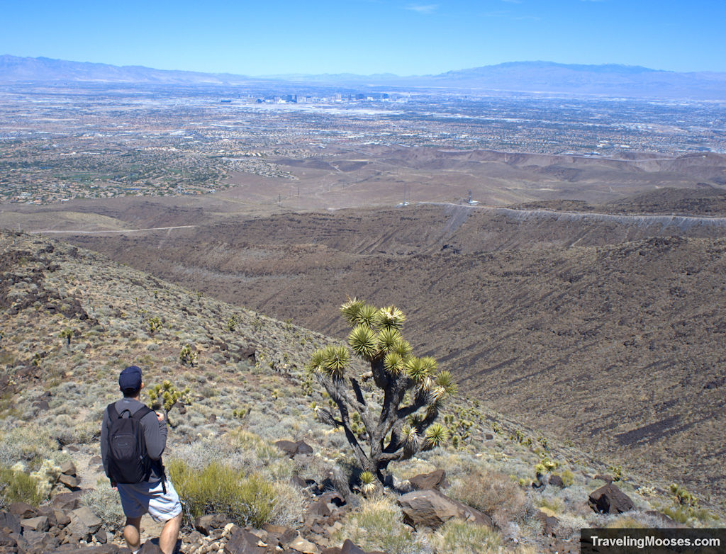
Desert chollas, Joshua trees and more epic views of Vegas continued to greet us all the way down the trail. I’ve been wanting to test out my new XT4 at night and briefly day-dreamed about coming back up later to photograph the skyline.
These thoughts were dashed after another 30 minutes slowly hiking down the path. It was hard enough hiking down in the bright sunlight, the night wouldn’t have made it any easier. Still, the trail would be a good alternative to Frenchman Mountain and with less crowds.
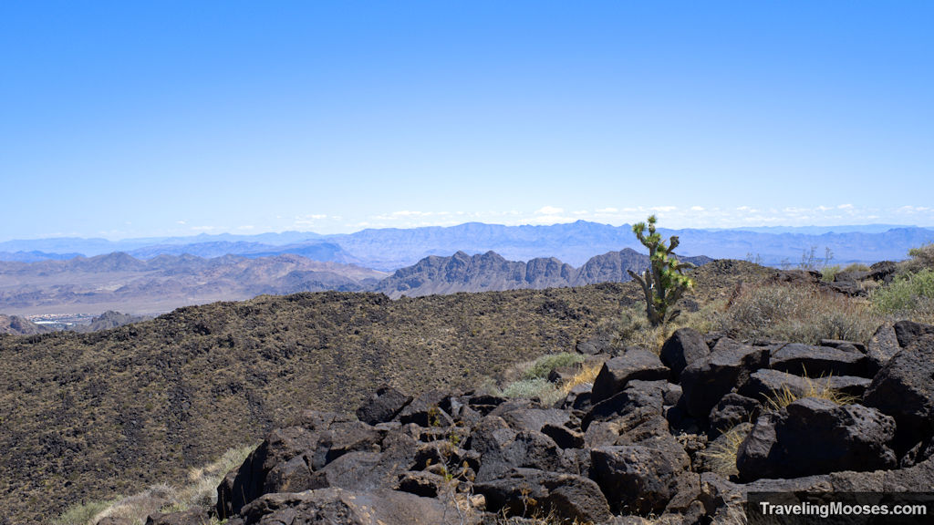
Nearing the bottom of the trail, things finally flattened out and we found ourselves reaching the Anthem East pathway and subsequently back at the car.
While it was one of our longer hikes after a period of inactivity, our feet were sore and we were ready to be done. All in all, what an epic day of hiking. This is highly recommended to be on everyone’s bucket list if you’re in the area.
Should you visit the Black Mountain hiking trail?
Rating: 4.0 Mooses

- What we liked
- Sweeping views and epic landscapes
- Well-marked trail up to the summit on counter-clockwise loop
- Great pay-off at the top of the summit
- What we didn’t like
- The wind was both a blessing and a curse the day we went
- The loose gravel and partially unmarked trial on the back-side of the loop
Verdict: This is hands down one of the best view hikes in the Las Vegas Area. It is a good mix of a challenging hike, average distance and epic views
Know before you go
- Bring more water than you think you’ll need; the desert gets hot and is unforgiving.
- Sturdy and grippy shoes are a must. Loose rock is abundant on this trail, especially in areas where scrambling is needed.
- Consider bringing trekking poles to aid in the journey, especially if completing the loop.
- The mountain is considered a class-2 scramble on the last ½ mile of the mountain. I was crawling and using both hands and feet to traverse the final section.
- The trail is best used October through mid-May.
- Dogs are allowed, but may find some parts of the trail difficult to traverse.
Frequently asked questions about Black Mountain Loop
Can I bring my dog on the Black Mountain trail / loop hike?
Yes, dogs are allowed on the trail with a leash. There are some challenging areas of the hike including the last ½ mile up to the summit and if you decide to go on the loop, the first ½ mile of the backside of the trail.
How hard is the Black Mountain trail loop?
It’s a strenuous hike mostly for the class 2 scrambling, but also the loose gravel along the trail and elevation gain. On warm days, the desert can be a challenging climate to hike in.
Is there any shade on the Black Mountain loop?
No, we didn’t see any places to shelter from the relenting sun. It’s recommended to bring a hat and of course wear sunscreen. Bring plenty of water to stay hydrated.
Is it better to go clockwise or counterclockwise on the Black Mountain loop?
I would recommend going counterclockwise. While coming back down the backside of the mountain is a long slog with loose gravel on much of the trail, it is a marked improvement over descending the ½ mile very steep (and with loose gravel) on the main trail. Very few go clockwise on the loop.

