
Central Oregon has impressive cascades, but internet guides treat every trickle over a rock like a can’t-miss masterpiece. The reality? Time is limited, mountain roads are slow, and spending half your day in a parking jam just to stare at a dry cliff face is a raw deal (looking at you, Tamolitch Falls (Blue Pool)).
We cut overhyped waterfall hikes by examining them through a three-point decision framework:
How These Waterfalls Were Chosen
- Payoff vs. Drive Time: A 20-minute hike isn’t high-value if it costs a three-hour round-trip detour on mountain passes. We weighed full drive time and parking logistics against the actual waterfall.
- Seasonal Flow Reality: Volcanic geology makes local rivers unpredictable: some flow underground, while others dry up by late summer. We filtered out spots that leave you staring at dry basalt.
- Total Trail Experience: A waterfall is great, but a great hike is better. We favored continuous cascades, dramatic canyons, and alpine views over crowded pull-offs where you just snap a photo and leave.
1. Waterfalls We Completed
The Local Classics (Under 45 Mins from Bend)
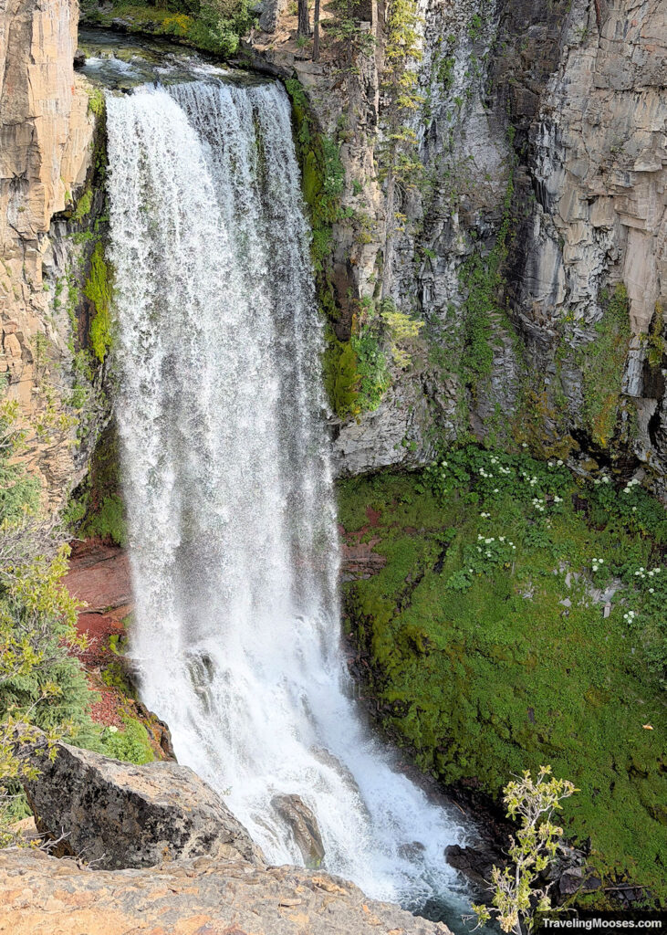
Tumalo Falls ~0.5 to 6.5 mi | 100 to 600 ft: The quintessential, low-effort Bend waterfall that delivers massive volume with zero barrier to entry. You can view the 97-foot plunge from the parking lot, but continuing on gets you away from the worst of the photo-op crowds and yields several smaller upstream drops.
Read more about Tumalo Falls.
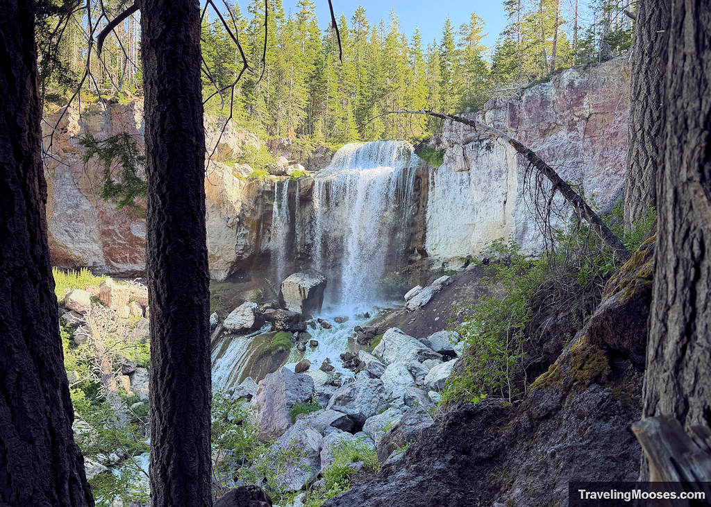
Paulina Falls Trail ~0.5 to 1.2 mi | 100 ft: A double-drop volcanic waterfall that looks incredible with minimal footwork required. Located inside the Newberry National Volcanic Monument, the dual 80-foot cascades spill over ancient lava cliffs. The upper viewpoint is step-free, but walking down to the creek bed gives you a far better up-close view. While locals highlight this as a winter landscape transformation, it was a fantastic summer stop for us.
Read More about Paulina Falls.
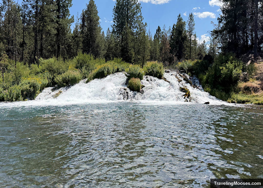
Fall River Falls Viewpoint ~0.4 mi | 50 ft: A tranquil, spring-fed cascade located in a pine forest away from the Cascade mountain crowds. It’s a low-key, flat stroll leading to a broad, churning waterfall where the subterranean river surges to the surface. Since it’s out of the way, bring folding chairs, a packed lunch, and a swimsuit to make the most of the day. Otherwise, skip it if you’re tight on time.
Read More about Fall River Falls.
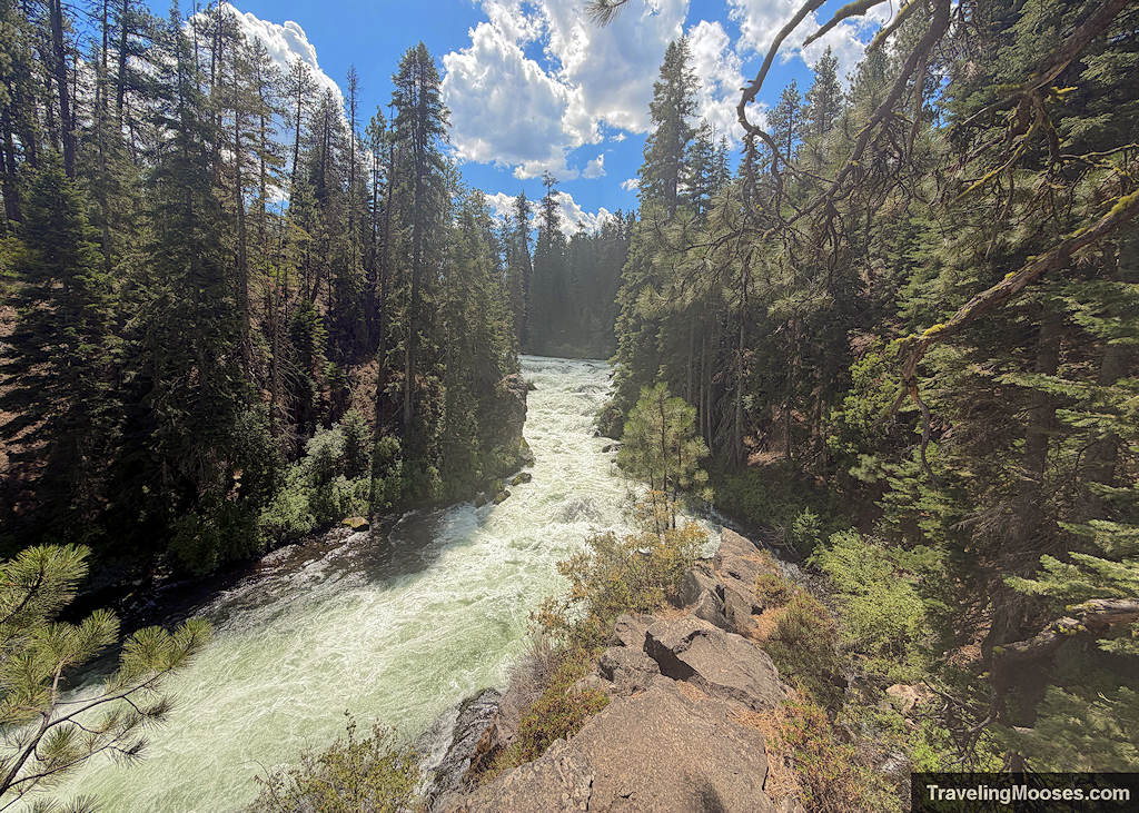
Benham Falls — 1.5 mi | 50 ft: Calling this a “waterfall” is a massive stretch; it’s simply a heavy river rapid. It’s a flat, stroll through the pines leading to a view of the Deschutes River churning through a narrow channel. Despite being overhyped on scenic lists, it works as a quick leg-stretcher. And yes, the river really is green during the summer.
The Big Cascade Plunges (Highway 138 Corridor)
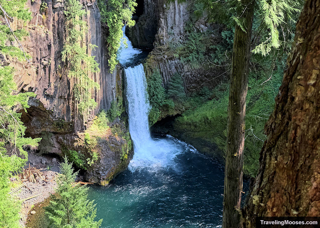
Toketee Falls ~1.0 mi | 150 ft: A framed, two-tiered plunge through near-perfect columnar basalt that looks like a set design. The short, well-maintained boardwalk hike features multiple staircases, leading to a framed viewing platform over a 120-foot drop into a turquoise pool. This best paired with a day trip to Crater Lake.
Read more about Toketee Falls.
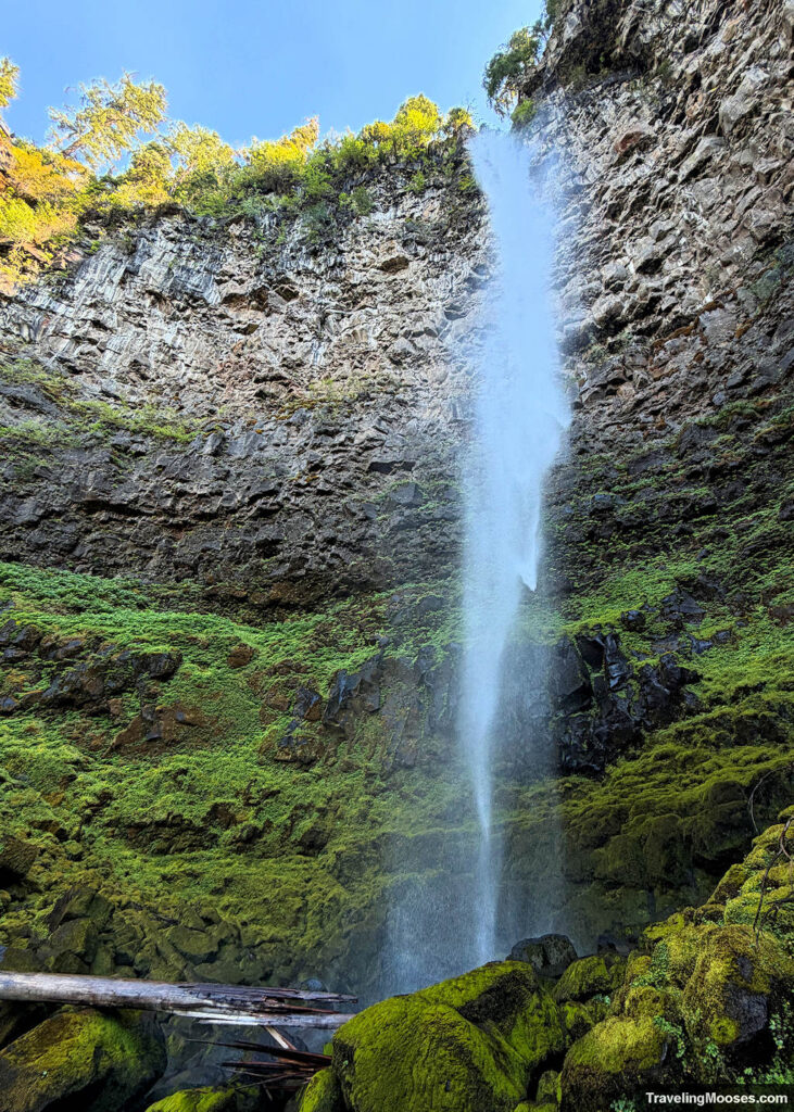
Watson Falls ~1.0 mi | 300 ft: The third-tallest waterfall (272 feet) in Oregon, requiring a steep, brief climb up through a mossy old-growth forest. The payoff-to-effort ratio is worth the drive and one you shouldn’t miss. This is best paired with a day trip to Crater Lake.
Read more about Watson Falls.
Waterfalls Embedded in Backcountry Loops
Obsidian Falls (via Obsidian Trail) ~12.0 mi | 1,800 ft: A stark, beautiful cascade framed by dark volcanic glass inside a permit zone. You don’t hike this trail just for the waterfall, it serves as an anchor point along an incredible loop through lava fields, alpine meadows, and obsidian flows. The cascade itself spills over dark basalt, offering a unique backcountry backdrop.
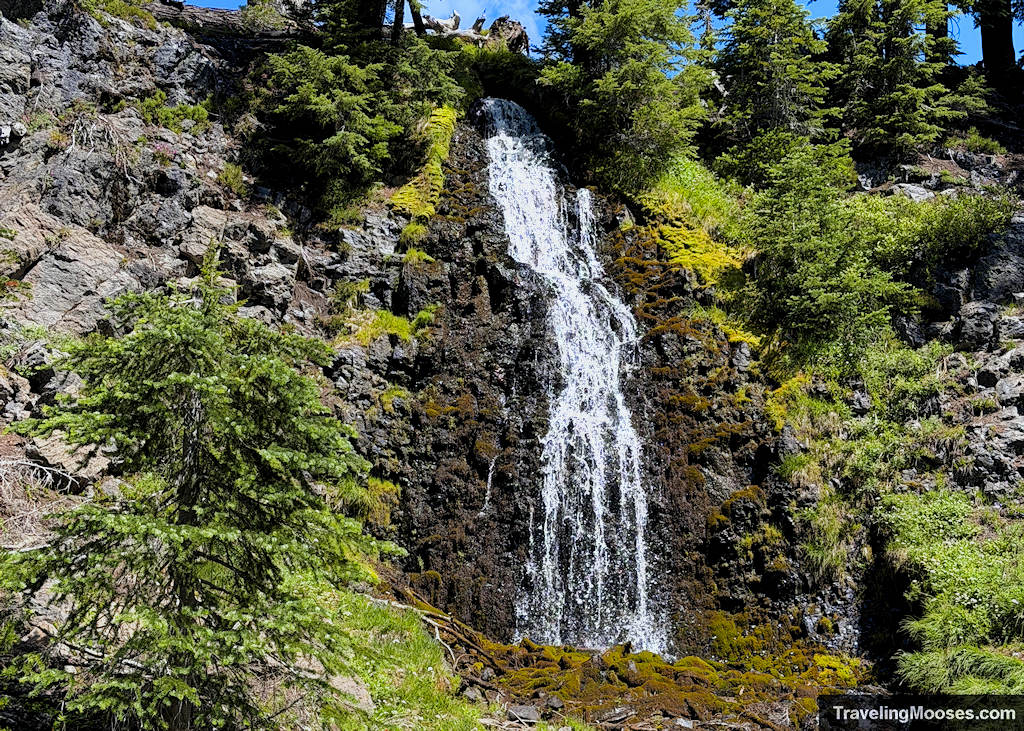
Green Lakes Loop Cascades ~9.1 mi | 1,200 ft: A continuous corridor of roaring alpine cascades that keeps the entire climb to Green Lakes engaging. Fall Creek parallels the trail for miles, delivering a series of un-named, multi-tiered waterfalls and chutes framed by South Sister and Broken Top. You get a dozen mini-payoffs long before you reach the lakes.

2. The Wish List (What We Missed & Why)
- Proxy Falls ~1.6 mi | 140 ft:
- Why we missed it: We ran out of time and couldn’t justify driving the slow, winding scenic highway past Dee Wright Observatory again. Plus, it’s seasonal.
- Why go? Based on the photos, it’s worth prioritizing next time. It’s a massive, veil-like double waterfall spilling over mossy lava rock, making it one of the most photographer-heavy spots in the Cascades.
- Sahalie & Koosah Falls ~1.5 mi | 150 ft:
- Why we missed it: We attempted a last-minute detour here after finding Tamolitch Falls (Blue Pool) dry, but with zero advance planning, the parking lot was completely full.
- Why go? We are sad we missed this one. It’s a top-tier pair of roaring McKenzie River plunges. Our advice is to go early in the morning on a weekday. Trying to wing parking on a summer afternoon (weekday I might add) is a non-starter.

- Chush Falls ~5.0 mi | 800 ft
- Why we missed it: We ran out of time on our Sisters-area hiking schedule.
- Why go? This is a 67-foot wide cascade framed by burn-recovery forest. It takes a bumpy dirt road drive and a moderate hike to reach, making it significantly less crowded than anything on the highway corridors.
- Salt Creek Falls ~0.2 to 1.0 mi | 100 ft:
- Why we missed it: Time constraints kept us out of the Hwy 58 corridor.
- Why go? As Oregon’s second-tallest single-drop waterfall (286 ft), it offers quick access, low crowd pressure compared to Tumalo, zero mountain pass driving, and a massive gorge payoff for almost no effort.
3. Waterfalls We Intentionally Said No To
Better Alternatives Available
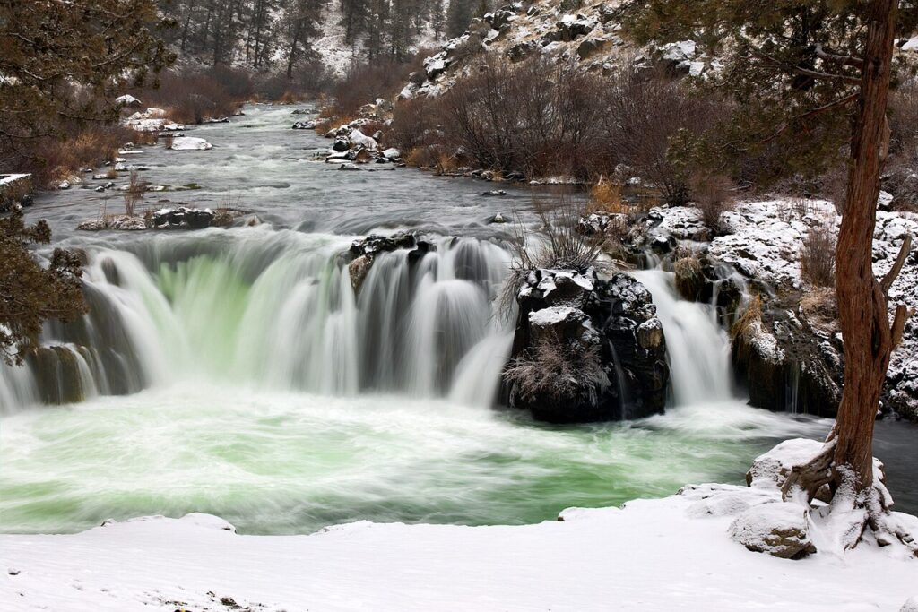
Steelhead Falls ~1.0 mi | 120 ft: A popular local swimming hole on the Deschutes River near Terrebonne, but visually generic compared to mountain cascades. Unless you’re looking to cliff-jump on a 95°F day, skip it for Tumalo or Paulina.
Marion Falls and Ann Falls ~5.0 mi | 800 ft: A spectacular, lesser-visited double-tier waterfall near Marion Lake. However, it requires significant dirt-road driving from Hwy 22, making it low-yield unless you are already camping in the Mt. Jefferson Wilderness.
Cline Falls ~1.0 Miles | 100 ft: A wide, churning river drop along the Deschutes River State Scenic Viewpoint. It suffices if you need something fast, but far superior cascades exist nearby.
Conditions, Closures & Technical Hazards
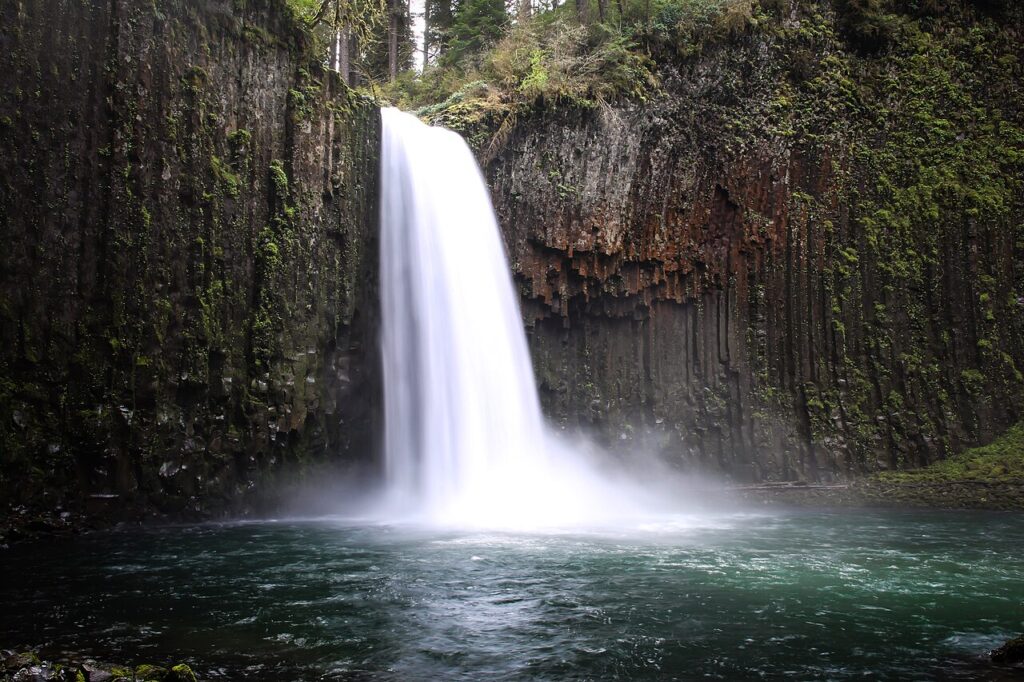
Abiqua Falls ~5.3 mi | 1,400 ft: Way too far from Bend (near Silverton), requiring 4WD access road and a steep scramble with ropes. An incredible basalt amphitheater, but a full-day commitment best saved for a Willamette Valley trip.
Linton Falls ~6.0 mi | 1,000 ft: One of the highest multi-tiered waterfalls in the Three Sisters Wilderness, but the trail is heavily overgrown, fire-damaged, and difficult to navigate. High effort, low trail quality.
4. Waterfalls We Wish We Had Skipped (Or Could Take or Leave)
Tamolitch Falls (Blue Pool)
- We wish we had skipped it: While the Blue Pool at the end of the trail can be striking in the right conditions, calling this a “waterfall hike” in the summer is unfair. If you’re hiking in expecting a roaring river plunging into a basin, you’ll be staring at a dry rock face. Know what season you are walking into before doing the 4+ miles. In fact, we recommend skipping it altogether. You can read why here.

Benham Falls
- Why we could leave it: This is a heavy river rapid, not a waterfall. Unless you’re looking for an easy, flat walk through the pines, the visual payoff is extremely low for the hype it gets on tourist maps. It works as a quick stop on a Sunriver bike trip, but isn’t worth targeting as a standalone destination. (Note: Nearby Dillon Falls looks similarly underwhelming online).
- Why we could leave it: A photogenic waterfall let down by a cramped, restricted viewing area. While the two-tiered drop through columnar basalt is cool, you’re stuck on a small wooden platform high above the canyon with an obstructed view. Fine if you’re passing through Highway 138, but it doesn’t deliver an intimate experience. Pairing a trip with nearby Watson Falls instead offers a better payoff.
Note: Toketee looks way better in photos than Watson Falls, however, given the overall experience, we enjoyed Watson more. If you’re in the area, by all means, go to both, but know that Toketee is crowded and it will impact your experience.
What to Know Before You Go
- Cascade Permits & Parking: Popular corridors (Green Lakes, Obsidian, McKenzie River) require specific Central Cascades Wilderness Permits and/or Northwest Forest Passes. Parking lots at Sahalie and Tumalo regularly fill by 9:00 AM in high summer.
- The “Disappearing” Falls Effect: Many Central Oregon rivers run through porous basalt. Waterfalls like Tamolitch depend heavily on seasonal water tables and while spring offers maximum flow, late summer turns several spots into trickles or dry rock faces.
- Drive-Time Traps: Don’t underestimate travel times on windy mountain roads like Highway 242 (McKenzie Pass). A spot that looks 20 miles away on a map can easily take over an hour to drive.
Final Thoughts
If you only have a few days in Bend (or the broader Central Oregon area), prioritize Tumalo Falls for ease of access, Watson for the overall experience, and Green Lakes for scenic trail integration. Skip the long detours for minor cascades unless you’re already in the basin, and always check seasonal flow reports before chasing spots like Tamolitch.