
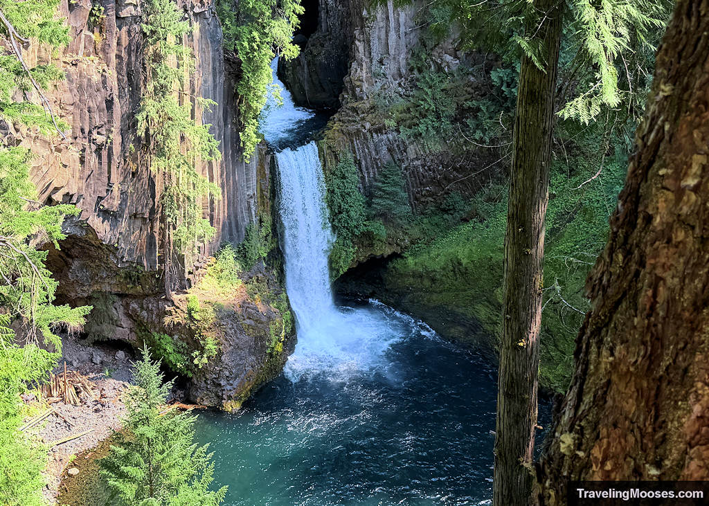
Is Toketee Falls worth visiting? Maybe.
Toketee Falls is easily one of the most Instagrammed waterfalls in Oregon, famous for its dramatic basalt columns and perfectly tiered drop. Because it dominates social media travel feeds, it was at the top of our list when we set out to see as many waterfalls near Bend as possible.
However, we left feeling underwhelmed by the entire experience. It might be for you if any of these apply.
You should go to Toketee Falls if:
- You love waterfalls.
- You are willing to go early or deal with parking challenges.
- You are already in central Oregon or on a day trip from nearby Crater Lake.
- You don’t mind an obstructed view of the falls from the viewing platform- OR you don’t care about breaking the rules and are willing to traverse down an unsafe scramble using sketchy visitor ropes.
- You don’t mind crowds.
If those things don’t apply to you, you might actually like the nearby Watson Falls better. It has easier access to the base, fewer crowds, and we found it to be much more scenic.
The Reality of Visiting Toketee Falls
Toketee is located just a short distance off the North Umpqua Highway (Highway 138). You travel approximately 0.2 miles off the main highway, turn left across a small bridge, and then take an immediate left onto Toketee Falls Road. This road is only about 440 feet long and serves as the primary parking area.
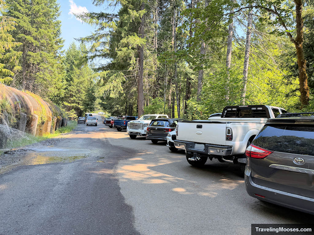
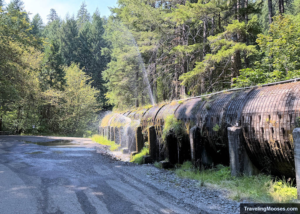
On one side there are parking spots, and on the other side a massive, 12-foot-wide wooden pipe that looks like it is ready to burst. It is actually a historic 1949 hydroelectric pipeline that carries water down to the Toketee Power Plant. People tend to get a little creative with their parking here, but keep in mind that the pipe is usually gushing out water because the wooden slats are held together by iron rings.
Once you find a spot, the trail is 0.5 miles each way to the viewing area. On the way to the falls, there are 97 steps up and 125 steps down. Of course, you get to repeat that in reverse on your way back to the car.
The Toketee Falls Trail
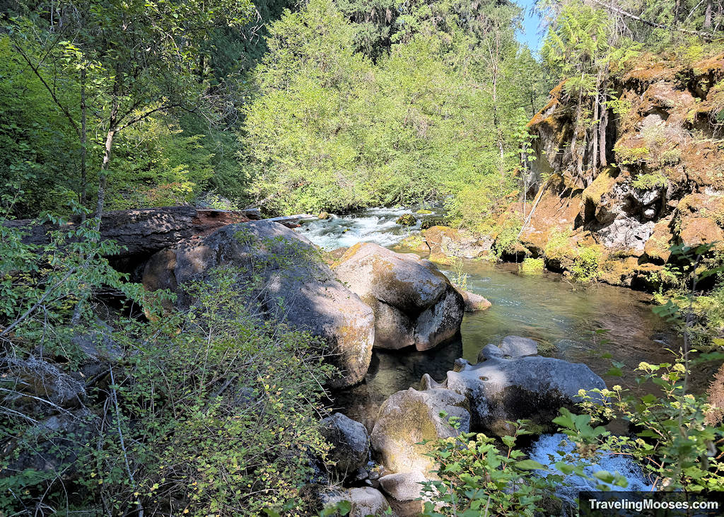
The trail winds through a nice forest with tall trees, plenty of shade, and a few scenic water views (North Umpqua River) along the way. You will traverse up and down several sets of stairs before reaching the end.

We highly recommend you stay on the official trail, as there have been several deaths at Toketee Falls over the years. Here’s an example.
Upon reaching the final wooden platform, you are rewarded with a view of the falls from far above the canyon floor. This is the official end of the trail.
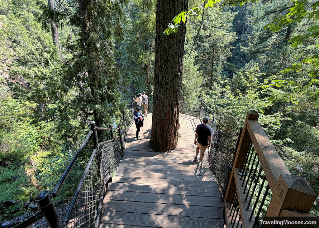

The U.S. Forest Service strictly discourages visitors from hiking down to the water. To get to the bottom, you have to complete a sketchy scramble and use a makeshift rope tied off by previous visitors. It might not even be there when you visit. The day we went, we saw several men down at the bottom building some sort of wooden shelter, though we have no idea why.

What we liked about Toketee Falls
If we ignore the heavy crowds and the disappointment of the restricted viewing area, there were a few things we really enjoyed:
- The trail itself was fun: It is short, but the steep staircases kept it interesting and there are fun water features along the path.
- The waterfall is photogenic: Even though you can’t see the entire cascade from the platform, it makes for a great photo.
- The trail construction is excellent: The viewing platform and structural staircases were incredibly well-done by the trail builders.
- The giant pipe AC: It was scorching hot the day we visited, and we were able to use the high-pressure water leaking from the pipeline to cool off after the hike.

Know Before You Go
- Trailhead: Google Maps
- Trail Stats: 1.0 mile round-trip. The distance is short, but expect a lot of stairs to climb.
- Waterfall Height: A 120-foot two-tiered drop (though you only see a fraction of that clearly from the safe viewpoint).
- Final Verdict: If you are already driving down Highway 138 and are willing to put up with the crowds, it is probably worth a quick stop.
More Guides
- Nearby: Watson Falls
- Nearby: Crater Lake’s – Watchman Peak Trail
- Waterfall Guide for Central Oregon
- Hiking Guide for Bend
- Bend Guide for Volcanoes and Lava Tubes