The Aspen Loop trail promises to be a short and sweet hike through aspen trees, meadows of wildflowers and contain epic views of Humphreys Peak. We need to find out if the online reviews were correct.
Is hiking the Aspen Loop trail worth it?
Our Verdict: It’s a beautiful trail and worth the effort if you’re visting the Snowbowl Ski Resort.
What we liked:
- The best part of the hike was the first half through the aspen trees. The sunlight was spilling through, creating an amazing and beautiful experience.
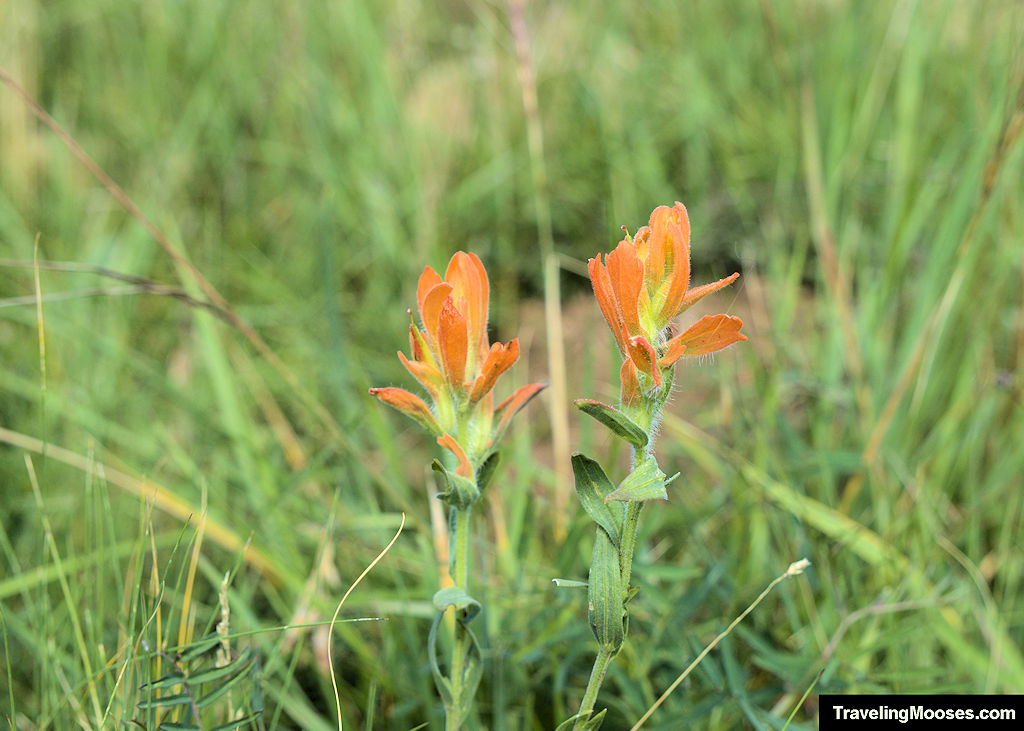
- There were a bunch of birds flying through the meadows area and a plethora of different colored wildflowers.
What we didn’t like:
- The second portion of the trail on the loop was a bit of a letdown after the aspen tree area.
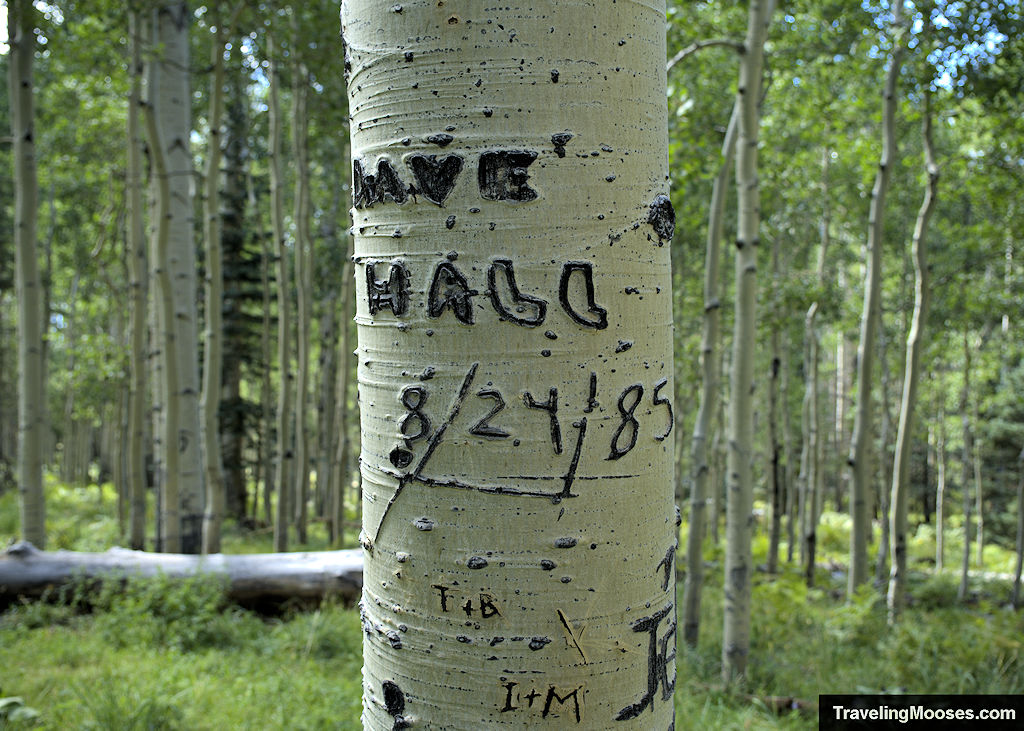
- We were disappointed in all of the carvings in the aspen trees.
What the Aspen Trail is like (our experience)
We were looking for an easy hike to round out our day after playing a round disc golf at the Snowbowl Ski Resort and riding the scenic gondola.
We arrived at the large parking area of lot #1 near the ski resort, and set off to explore the Aspen Loop trail.
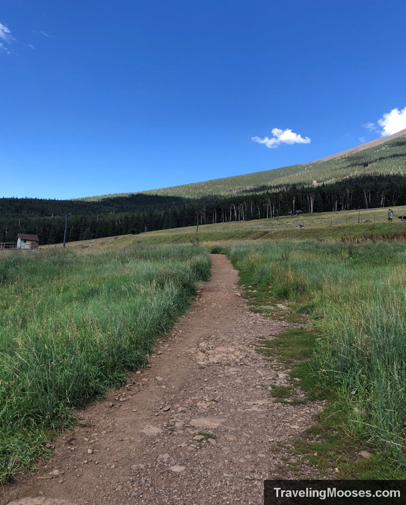
The trail begins on a wide gravel path through a meadow and past several ski chairlifts.
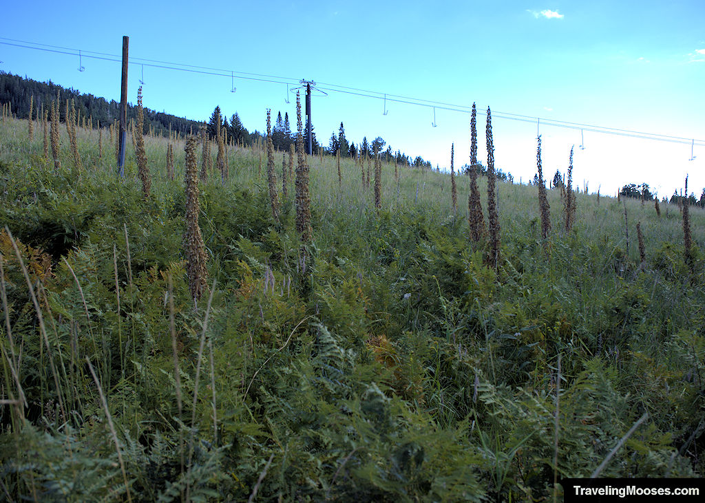
In the summer, you’ll find a variety of wildflowers, unique foliage and wildlife (mostly birds) throughout the meadow area.
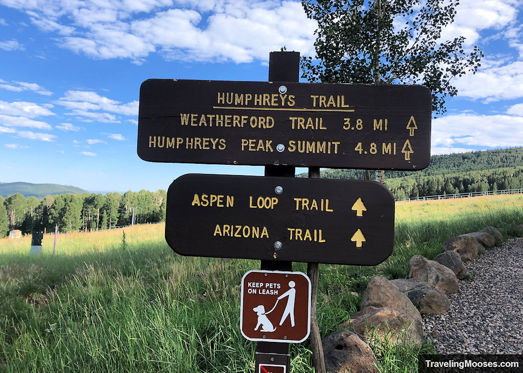
A short distance up the trail, you’ll come to a fork. To the right you’ll find the path to summit Humphreys Peak.
Related: Summiting Humphreys Peak: the highest peak in Arizona
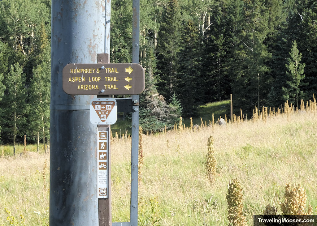
Keep to the left and you’ll follow a path towards a large grove of aspen trees and the Aspen Loop trail.
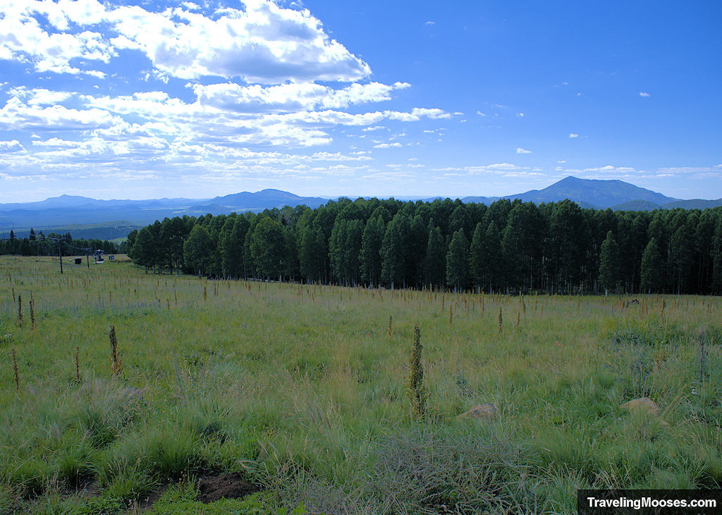
The trail will begin to descend gently towards the aspen grove.
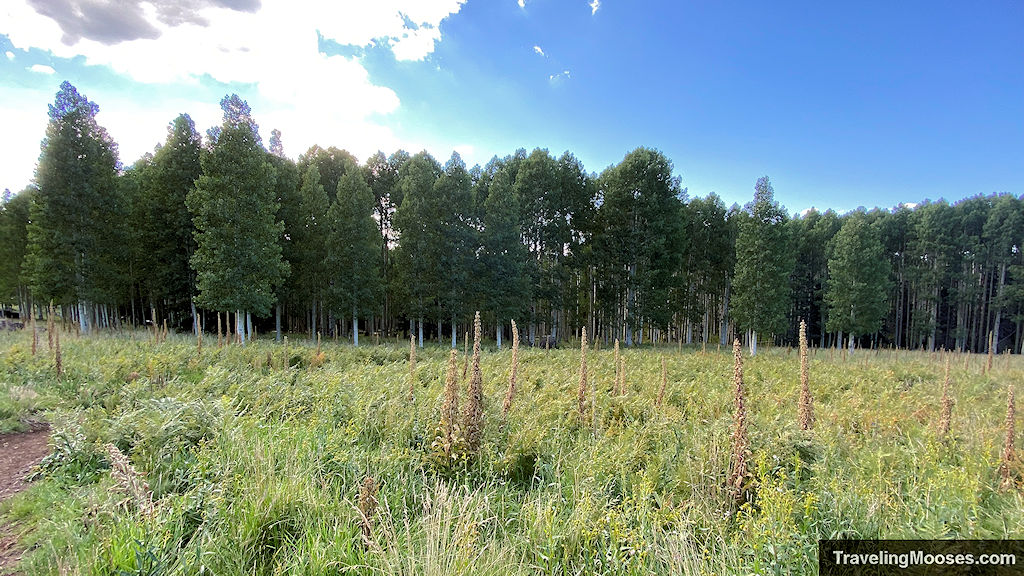
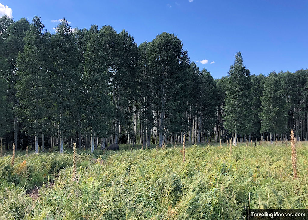
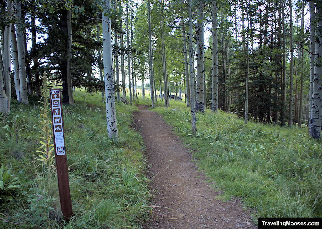
The aspen forest was our favorite part of this hike. We were lucky to visit in the late afternoon when the sun was shining down through the trees.
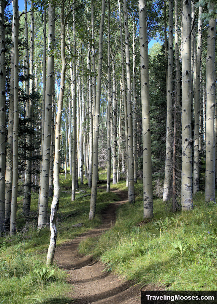
We were disappointed to find many of the trees had carvings in them.
This seems to be a fairly common theme in both birch and aspen trees. We found this on our hike to Mary Jane Falls in Nevada.
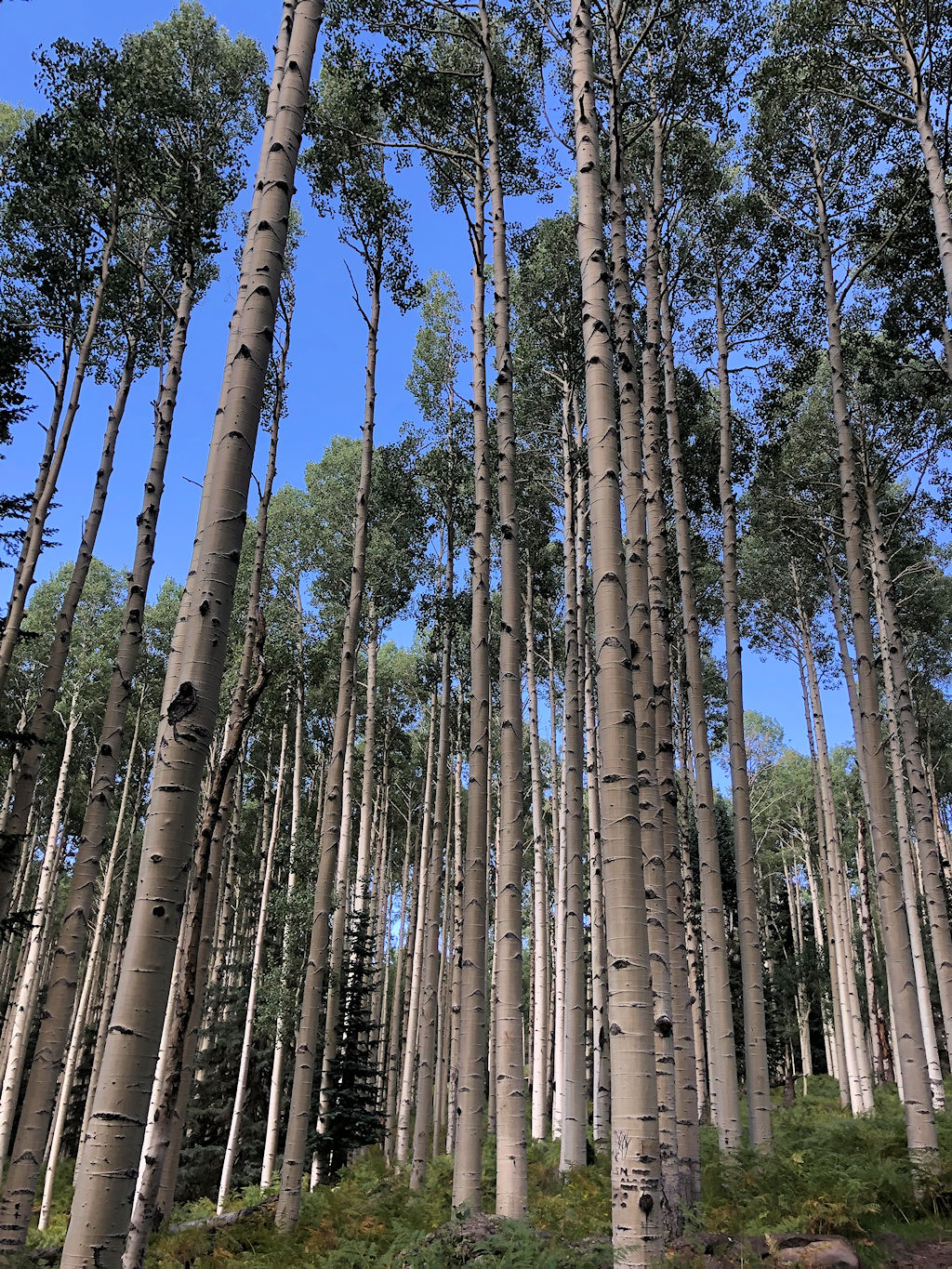
After leaving the aspen tree grove, you’ll pass a wide-open field. For the Zelda BOTW fans out there, I’m sure a korok is hiding somewhere, or maybe a lynel.
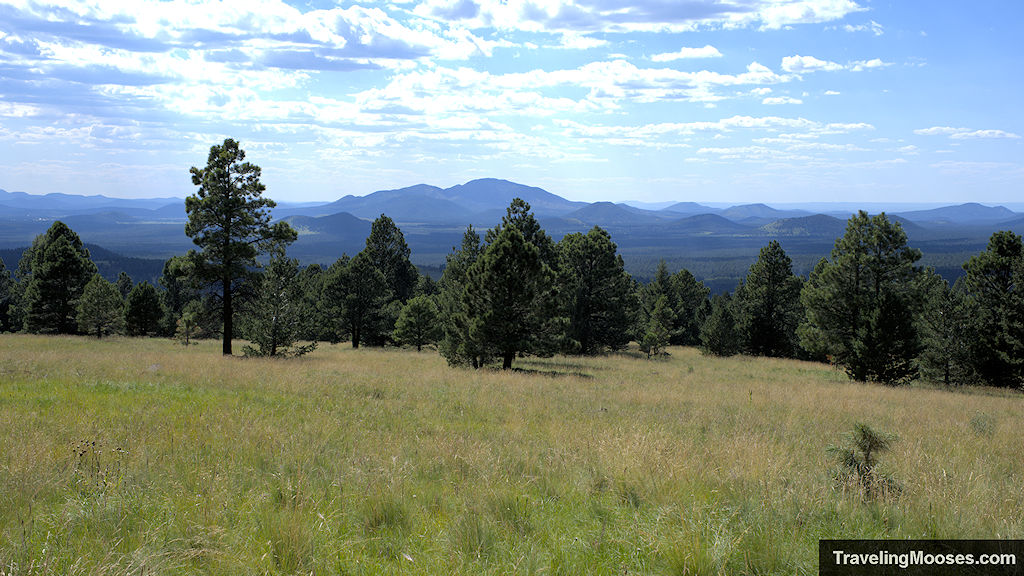
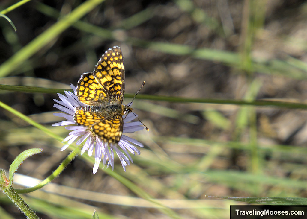
Keep your eyes peeled for more wildflowers and possible butterflies.
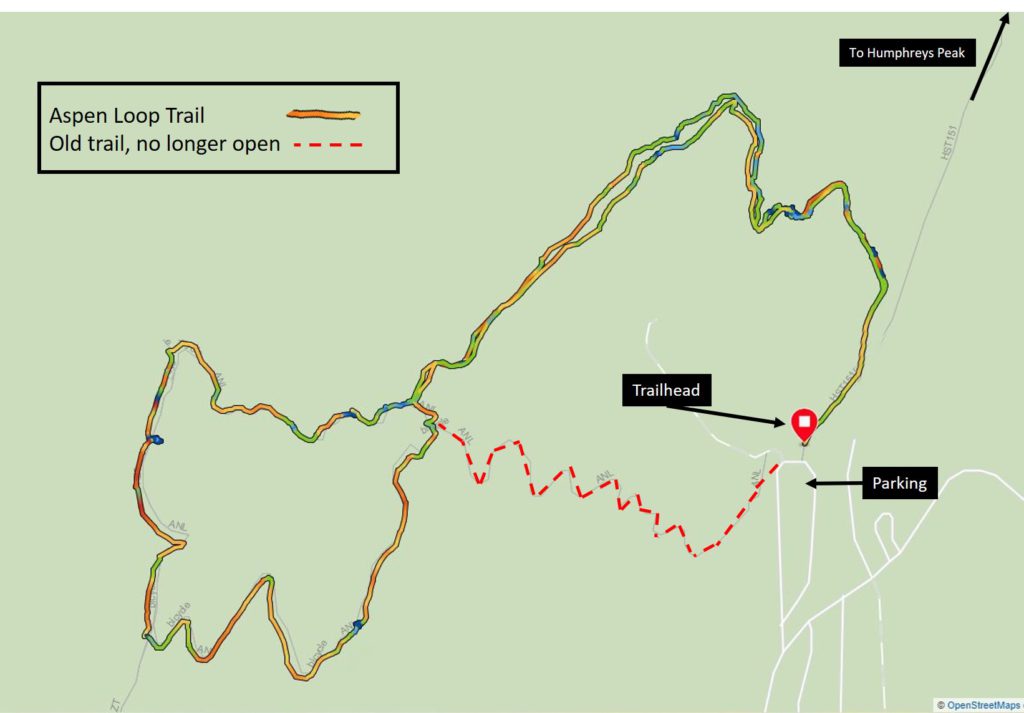
You may see a faint trail leading back towards Humphreys Peak and where you started. While it was a more direct path to the parking area, this was the old trail and is no longer accessible.
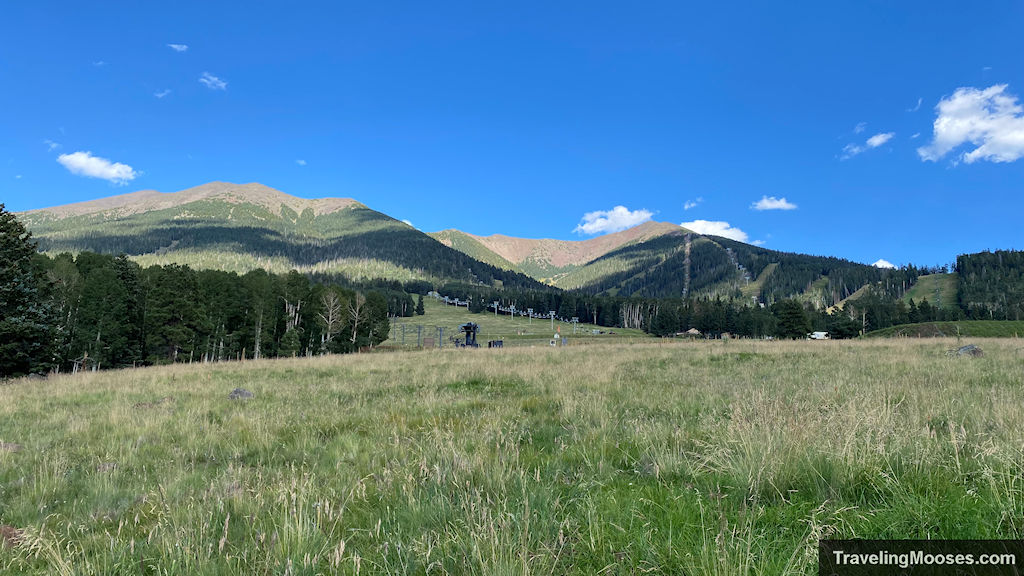
Continuing on, you’ll finally reach the loop portion of the trail.
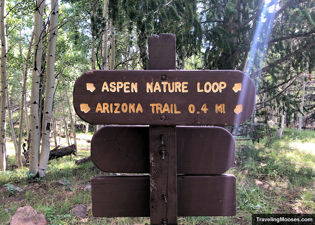
We decided to go right, but you can easily go left around the loop.
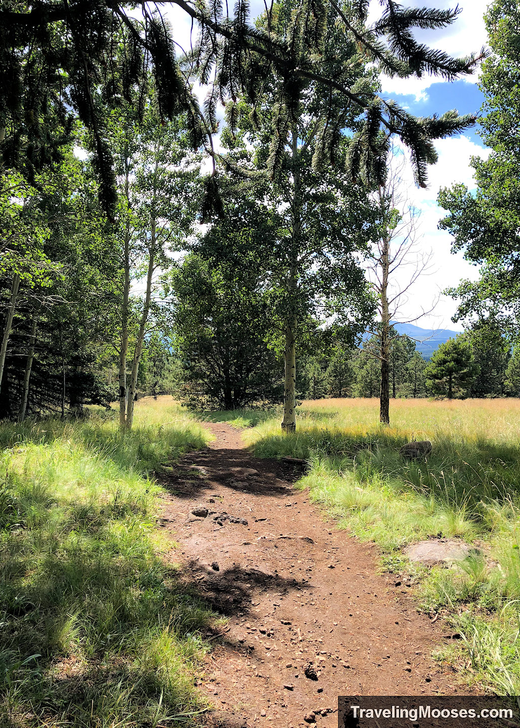
On the back part of the loop, you’ll intersect with the Arizona Trail. Depending on which way you traverse the loop, you’re run into a sign pointing north towards Utah and then one south pointing towards Mexico.
The Arizona trail is an 800-mile trail that traverses from Mexico to Utah.
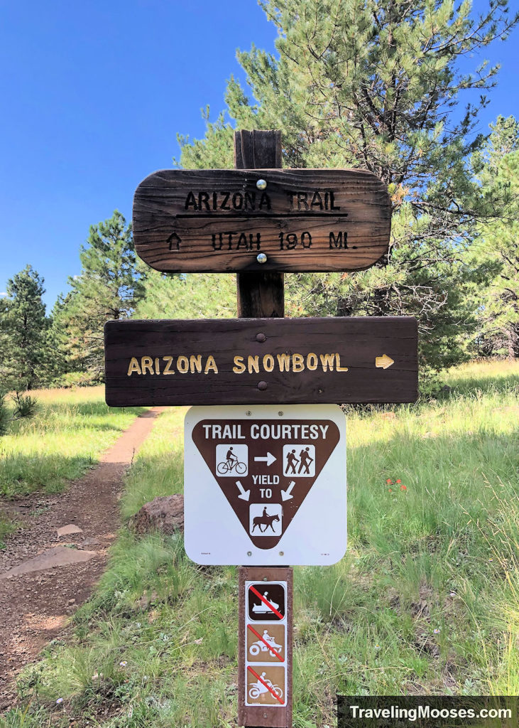
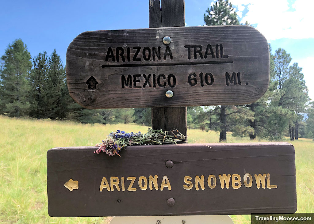
Continue following signs for the Arizona Snowbowl or the Aspen Loop Trail to stay on your path of travel.
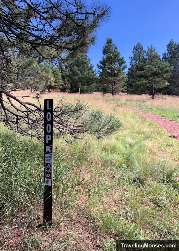
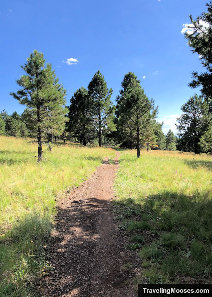
Continue to follow the loop trail.
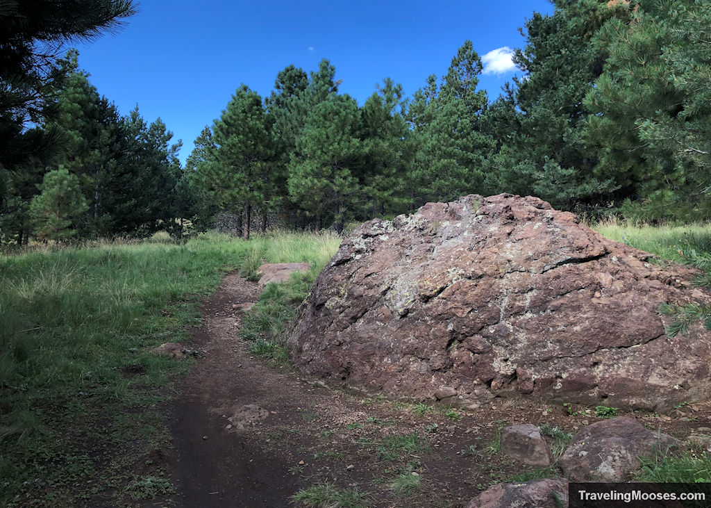
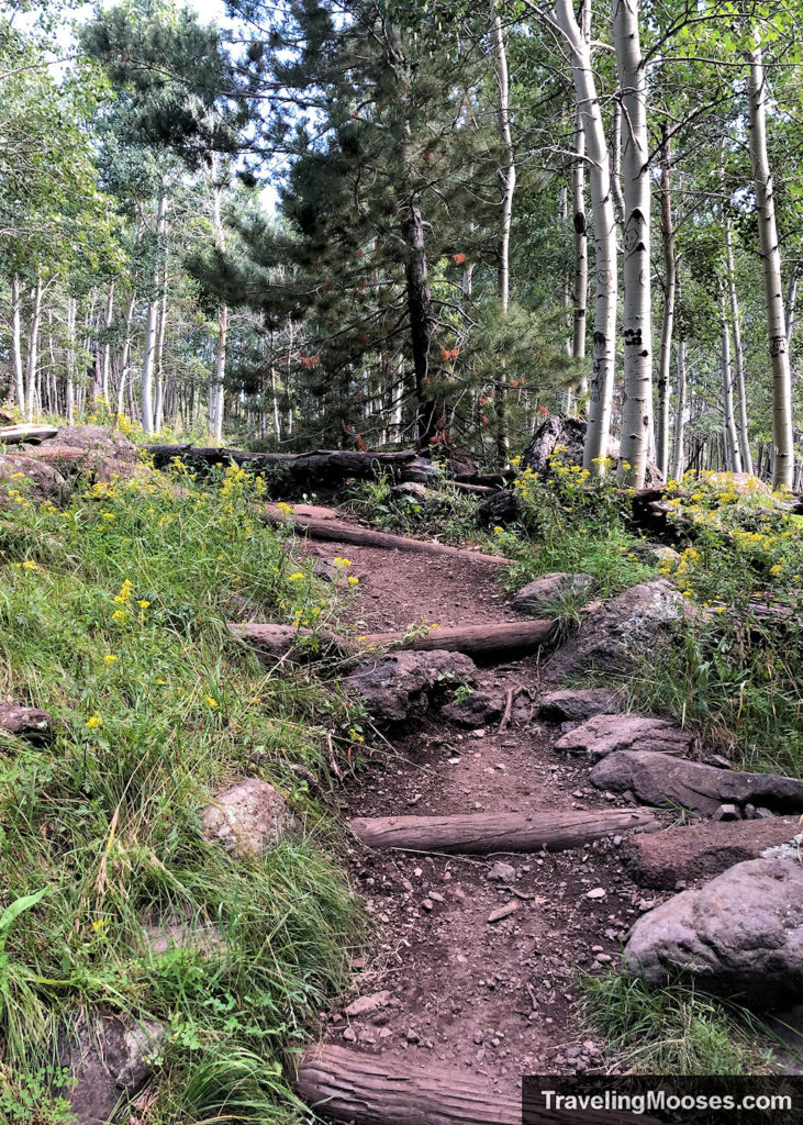
After completing the loop, you’ll need to back track the way you came through the aspen forest and ultimately to the parking area.

Logistics (The Boring Stuff)
Aspen Loop Trail Stats
| Trail Description | Out and back (with a loop in the middle) |
| Location | Aspen Loop Trail |
| Parking Lot | Aspen Loop/Humphreys Peak Trail Parking, Base Lot 1, Arizona Snowbowl, Flagstaff, AZ, 86001 |
| Round Trip Mileage | ~2.5 miles |
| Average Time | 1 to 1.5 Hours |
| Difficulty | Easy |
| Elevation Gain | ~330 |
| Elevation Start | ~9,278 |
| Best time to visit | June through October |
| Amenities at the Trailhead | Parking, trail map / information board, primitive bathrooms. |
| Entrance Fee | None |
| Rating | 4.5 Mooses |
Current trail conditions
- Check Snowbowl (elevation 9,500’) for current conditions at the mountain base including road conditions to parking area.
- Check Mountain Forecast for the weather forecast. (We used mountain-forecast.com for our weather report and found it to be accurate the day we visited. It is also the official website at the Humphreys Peak trailhead which can be accessed via a QR code.
What to bring
Be sure to check the weather conditions and pack appropriately. This is what we brought for this hike:
Standard Gear:
- The 10 Essentials. These are a must for us on every hike.
Special Items of note:
- Hiking Boots or closed toe shoes – The trail was well established, but we recommend wearing hiking boots or trail shoes.
- Clothing – Be sure to bring appropriate clothing for rapidly changing conditions on the mountain. Weather can change extremely fast, especially during monsoon season.
- Water / Snacks – Keep in mind that when hiking at higher altitudes you generally need more water than normal. Bring extra snacks!
- Navigation – We used Alltrails for navigation, however we felt the trail was well marked and we didn’t end up needing it.
Parking for Aspen Loop trailhead
The Aspen Loop / Humphreys Peak trailheads parking area is located at Lot 1 at the base of the Snowbowl Ski Resort. It is the first parking area you come to as you’re traveling up N Snow Bowl Rd and will be on your left. The lot is extremely large and we had no trouble finding parking.
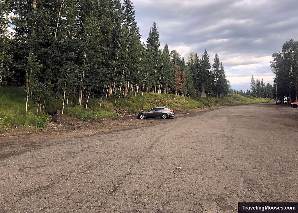
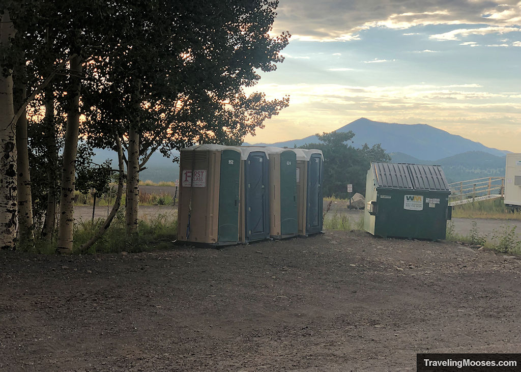
The parking lot contains an informational sign board, primitive restrooms, and a trash receptacle.
Entrance Fees
There are no fees during the summer months to park at the Snowbowl parking areas.
Getting to Aspen Loop trailhead
Location: Humphreys Peak Trail Parking
From Flagstaff:
- Drive north on: N Humphreys St.
- Turn Left on US-180 West / W Colombus Ave / N Fort Valley Rd
- After 6.6 miles, turn Right onto N Snow Bowl Road
- Follow for another 6.5 miles
- Turn Left into parking lot 1 for Humphreys Peak Trailhead
Trail Maps
Trailhead Amenities
- Parking area in a gravel lot, well-marked
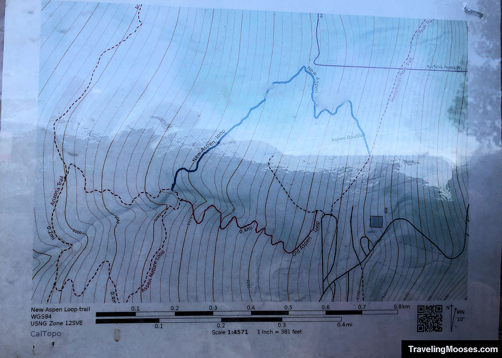
- Trail Information and trail map
- Primitive Restrooms
- Trash Receptacle
