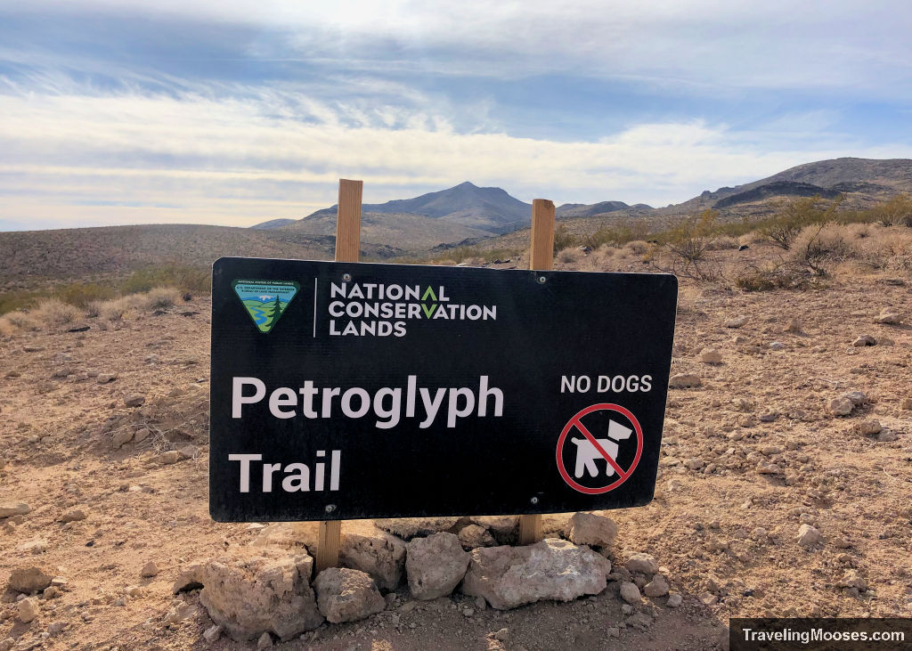
Located in the heart of Sloan Canyon, the petroglyph trail takes hikers on a journey through a rich history filled with volcanic rocks and centuries old petroglyphs.
Sloan Canyon Petroglyph Trail Quick Info
| Trail Description | Blend of out and back with a loop at the end |
| Trail Start / Parking Lot | 2998 Nawghaw Poa Rd, Henderson, NV 89044 |
| Round Trip Mileage | 4.2 miles |
| Average Time | 1.5 – 3.0 hours |
| Difficulty | Moderate |
| Elevation Gain | ~600 feet |
| Best time to visit | November through April |
| Entrance Fee | Free |
| Rating | 4.0 Mooses |
| Current Info/Closures | Sloan Canyon National Conservation Area |
Historic significance of Sloan Canyon National Conservation Area
Sloan Canyon gains its popularity and cultural significance due to the 300 panels of petroglyphs with 1,700 individual designs etched in the rocks. These creations were designed by native cultures throughout various eras, possibly dating back up to 4,000 years ago.
Throughout Sloan Canyon, you’ll notice a large amount of volcanic rock (mainly light gray dacite and dark gray basalt) scattered in the hills.
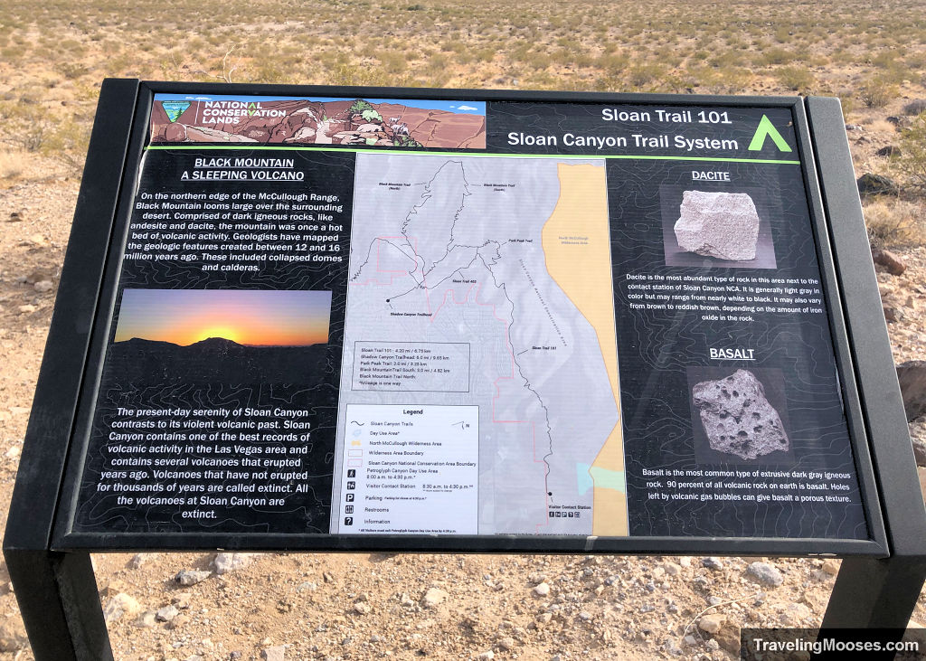
You’ll be traversing through the McCullough Stratovolcano that erupted over 15 million years ago and is now extinct. The beauty of the area is in stark contrast to what it must have been like during the violent era of volcanic eruptions.
Today, Sloan Canyon is considered one of the best records of volcanic activity in the Las Vegas area and remains a mecca for visitors and scientists alike.
Our experience on the Sloan Canyon Petroglyph Trail
The day we visited; it was forecasted to be a high 61 degrees in the afternoon with temperatures around 37 degrees at 8 a.m. We ended up arriving at the trail at 10:30 a.m. on a weekday and found the parking lot mostly full despite the chilly weather. To be fair, there are only about 15 marked parking spots with large areas of dead space and construction with coned off areas.
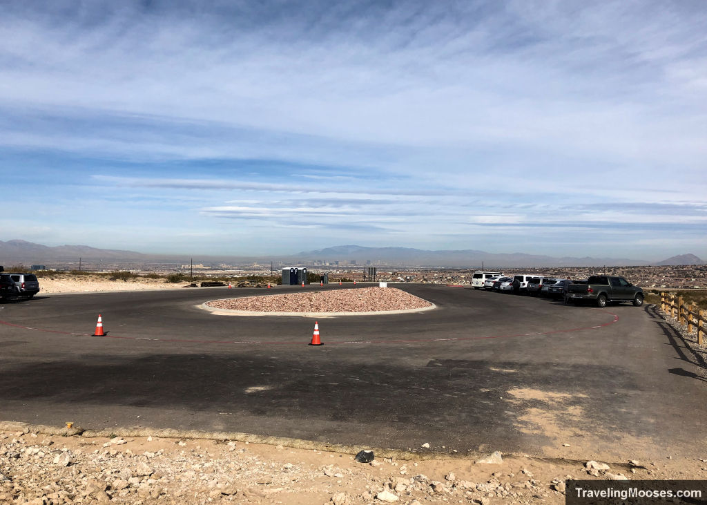
From reading the BLM website we knew we needed to check in at the BLM Sloan Canyon Visitor Contact Station. To our surprise, the contact station was no longer there. Just an empty spot on the pavement where the building once sat. We suspect it was removed when Covid first started, but we’re not sure if/when it will be back.
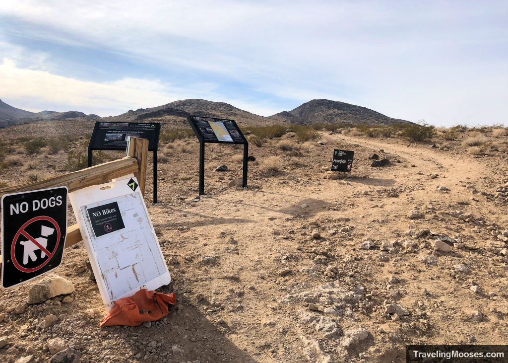
Sloan Trail 101
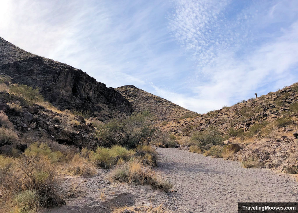
The trail begins from the parking lot and heads south toward the Petroglyph Canyon and dry falls. The path starts out as mostly hard compact dirt and we pondered if the claims of soft rock/sand on the trail were a little overblown.
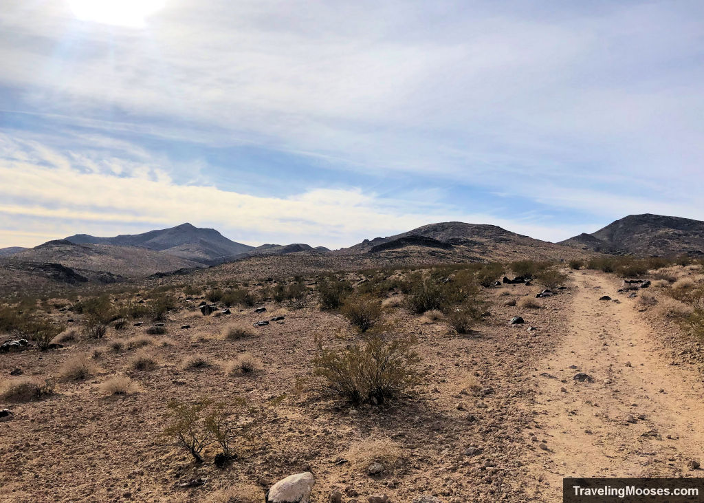
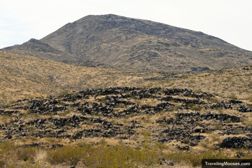
Turns out, they weren’t.
After a short jaunt to the east and down a hill, we came to the wash that you must traverse to reach the loop through the canyon.
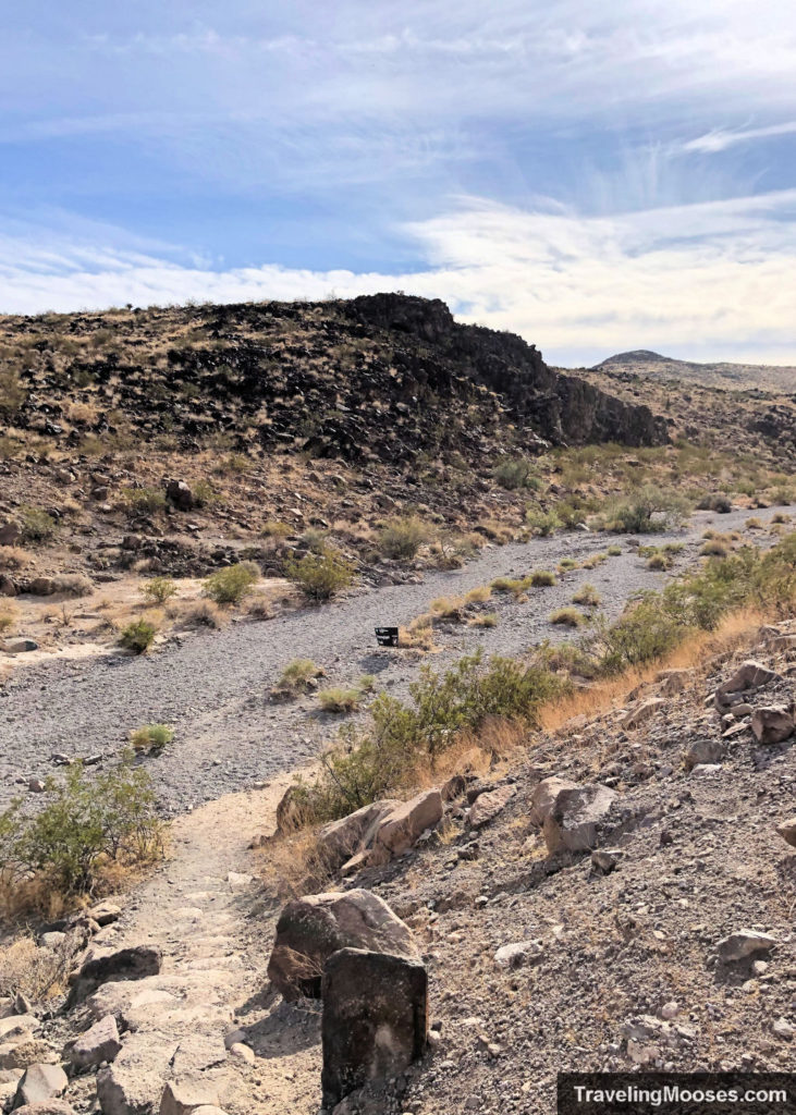
The wash was filled with none other than soft gravel/sand, the kind you sink into when you take a step.
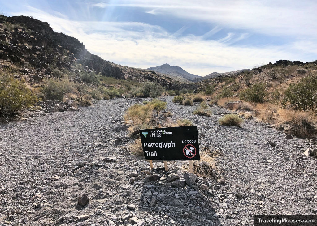
We momentarily forgot about the gravel as the walls of the canyon began to rise up, but were reminded of it again as we continued to wind through the canyon. After about a mile, we reach the turn off to the loop.
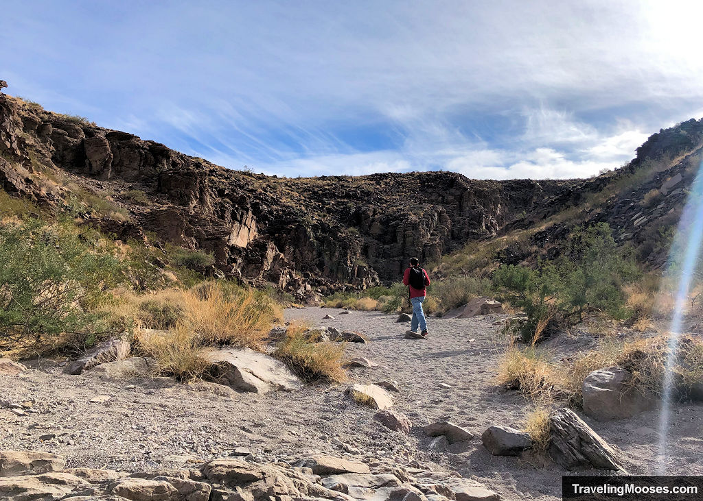
Petroglyph Trail Loop
To the left is the Petroglyph trail (aka ”100” trail), and to the right is the Cowboy trail (aka ”200” or ”Park Peak trail”). While you can go either way, most hikers online recommend going clockwise (left) and we agree with that assessment.
The trail continues on up the wash and through the Petroglyph Canyon. The walls rise higher at this point and it isn’t long before you reach dry falls and the first small scramble.
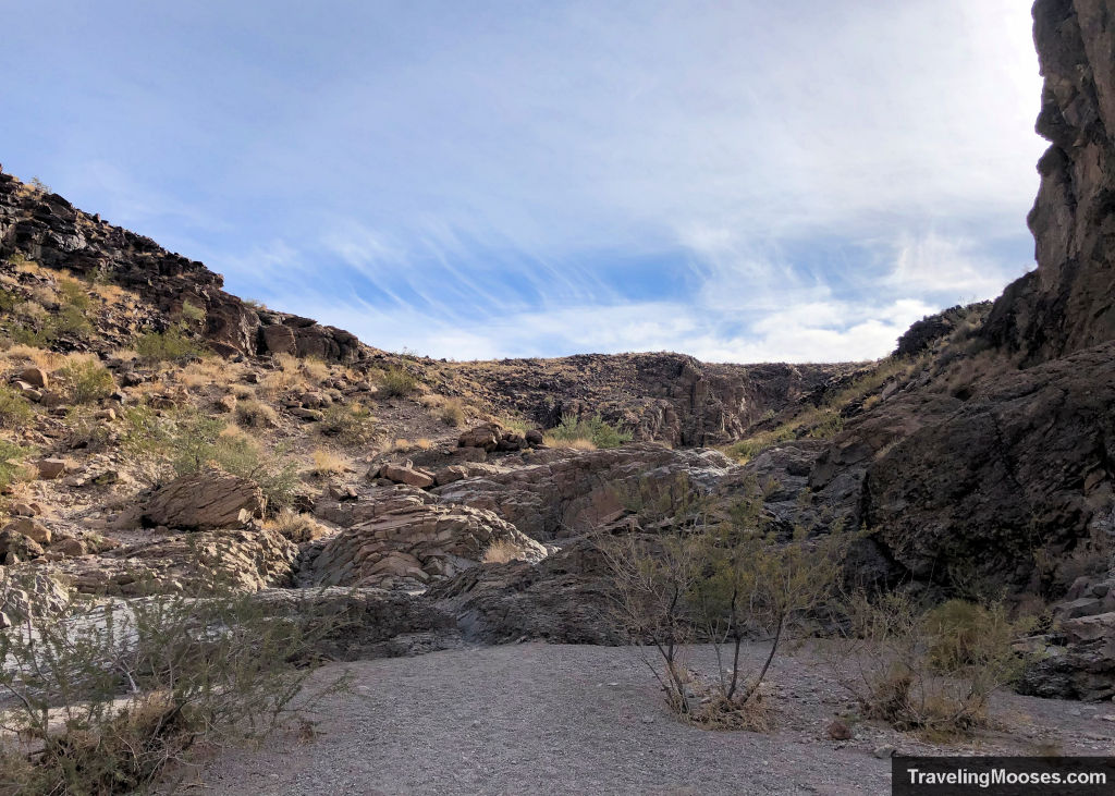
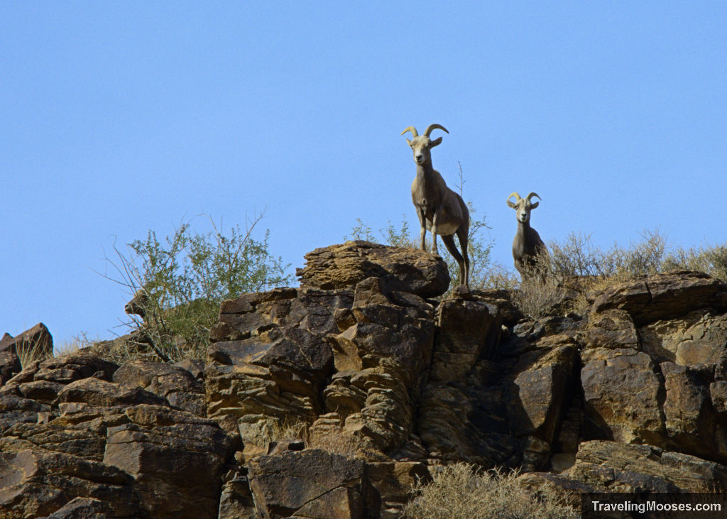
As we were making our way through the canyon, Mr. Moose spotted a family of bighorn sheep!
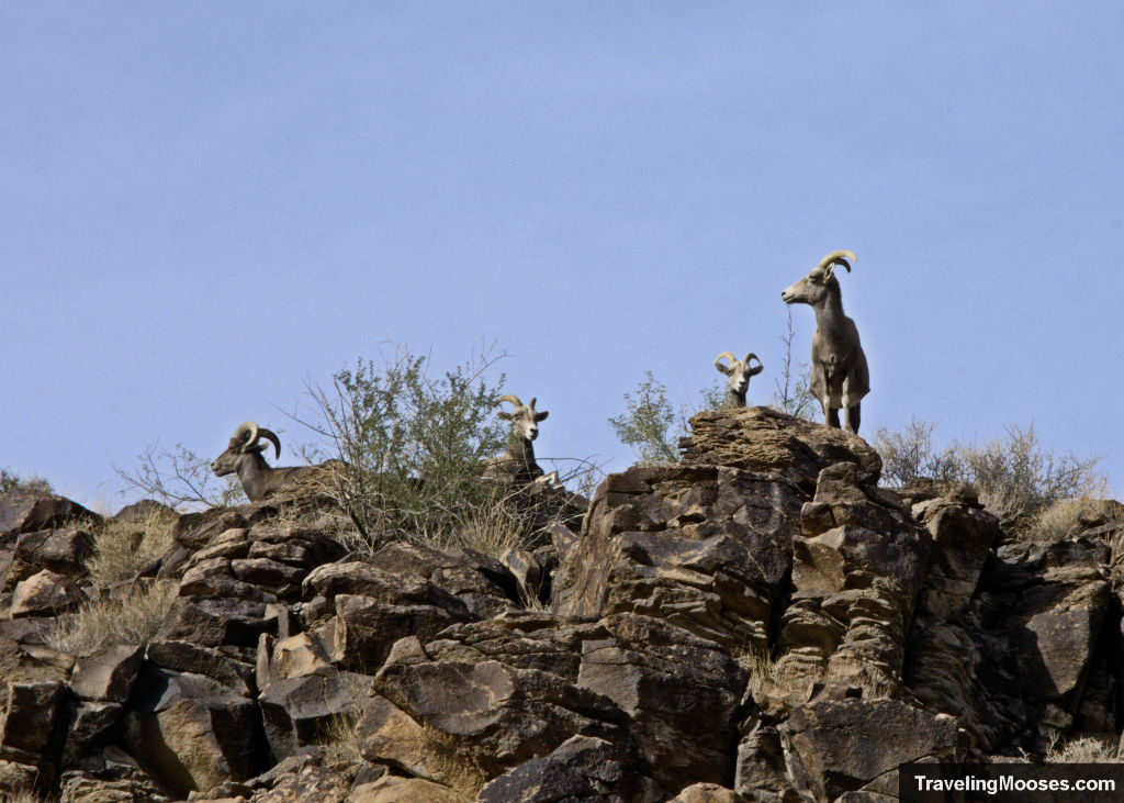
High up on the canyon, were three females and one male staring down at us. They looked very majestic on the cliffs and didn’t seem to care at all that we happily snapped photos of them.
After a few more small scrambles, we reached a large boulder wedged into the trail with two choices to climb up, either the left or right.
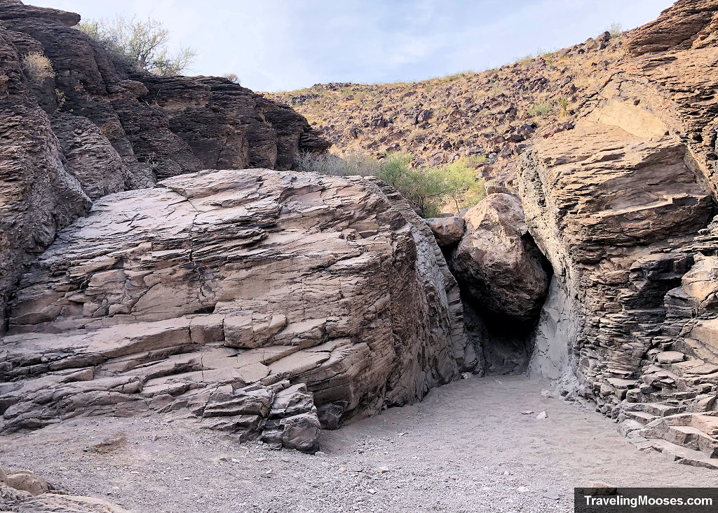
The left looked more friendly to us and Mr. Moose scrambled right up (he makes it look easy).
Next it was my turn and I didn’t fair quite as well. I decided it was best to sort of lay on the rock and pull myself up. Fortunately for me there is no video of this embarrassing endeavor, but I eventually made it up.
If you’re comfortable with scrambling, you won’t have any trouble making it up this approximately ten-foot rock wall. It helps if you have good shoes with a nice grip on them.
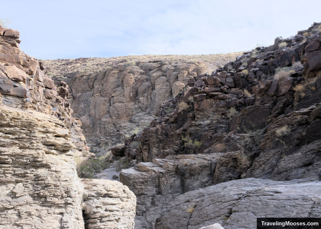
Immediately after the final scramble, we began to see the petroglyphs. They were scattered through the canyon (mostly on the right-hand side of the trail).
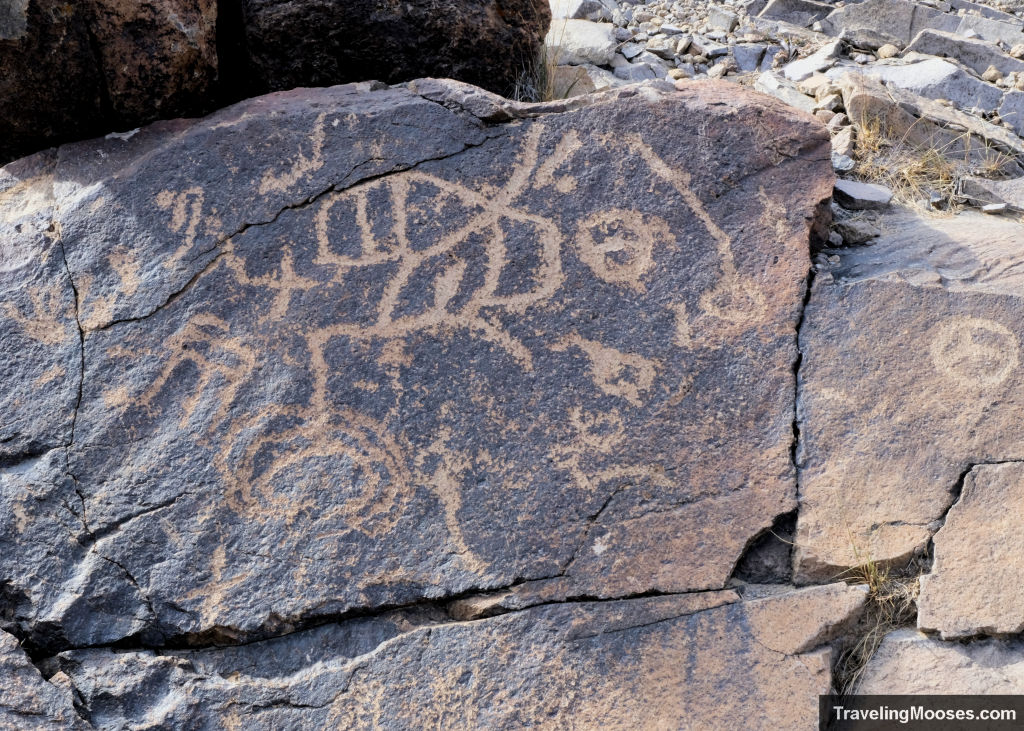
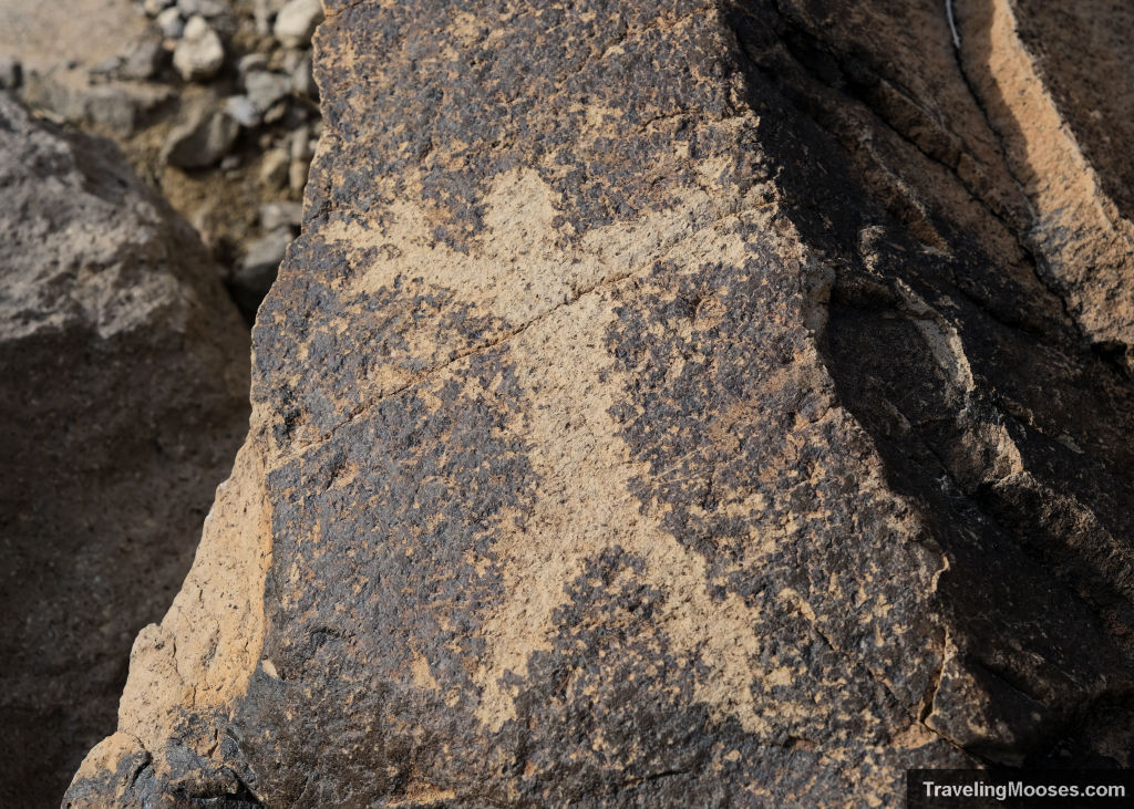
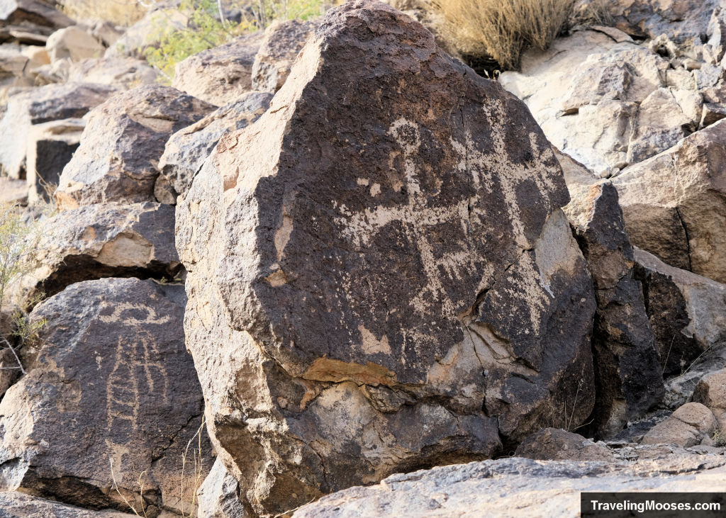
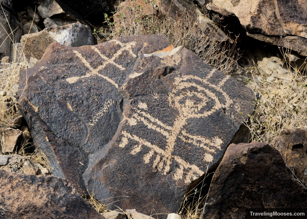
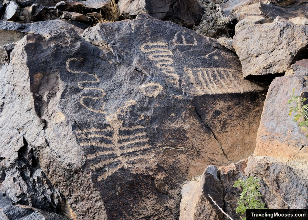
We found a multidue of petroglyphs with various patterns of swirls, shapes and even one the looked like a bighorn sheep.
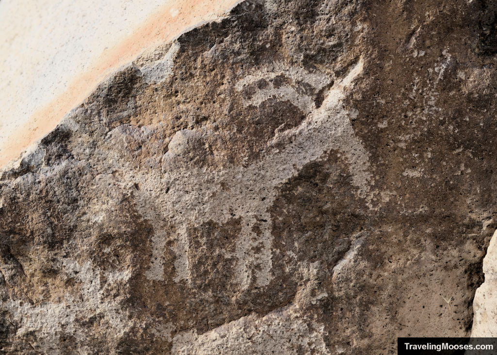
The petroglyphs are thought to have been carved by multiple cultures over many years including the Yuman, Patayan, and Nuwuvi and possibly the Puebloan and Pahranagat.
We could see many petroglyphs close to the wash and some higher up on the cliffs. It was interesing to see the large variety of designs and ponder what they meant and what the circumstances were the day they were carved.
As we were happily investigating the petroglyphs another group of hikers came down the hill and kindly pointed out there was another group of bighorn sheep immediately behind us. This time they blended in so well with the canyons that we would have missed them.
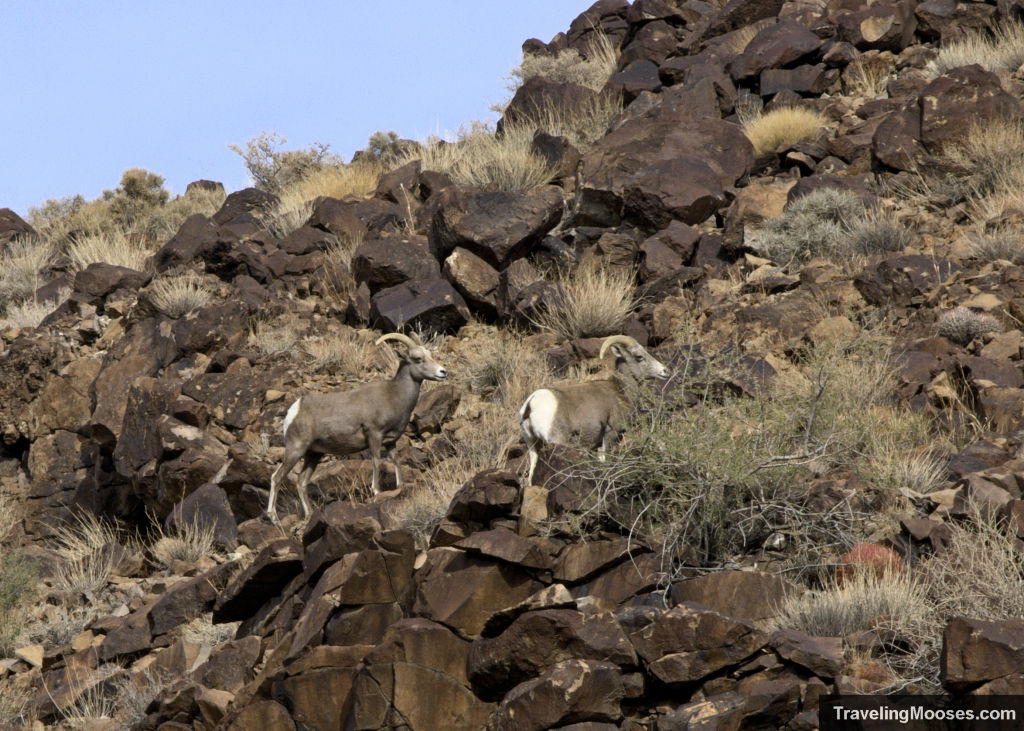
There were five more sheep, four females and one baby. They seemed more interested in foraging for food high up on the rocks than staring at the humans in the wash.
We decided to continue on with finishing the loop, but it seemed like most of the hikers we saw turned around here and headed back the way they came.
I wasn’t too keen on having to downclimb the largest scramble and wanted to finish the loop, so we proceeded.
Cowboy Trail
After continuing down the wash for another 5 – 10 minutes, we reached another trail split. To the right was the Cowboy trail and left went to the Hidden Valley trailhead.
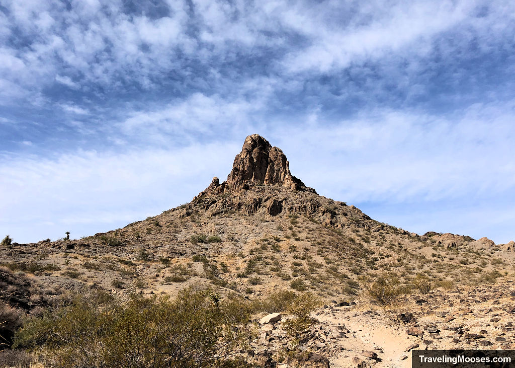
We took the right and went up a short hill and towards a large rock that looked like something out of a western movie. Maybe that’s where the trail got its name?
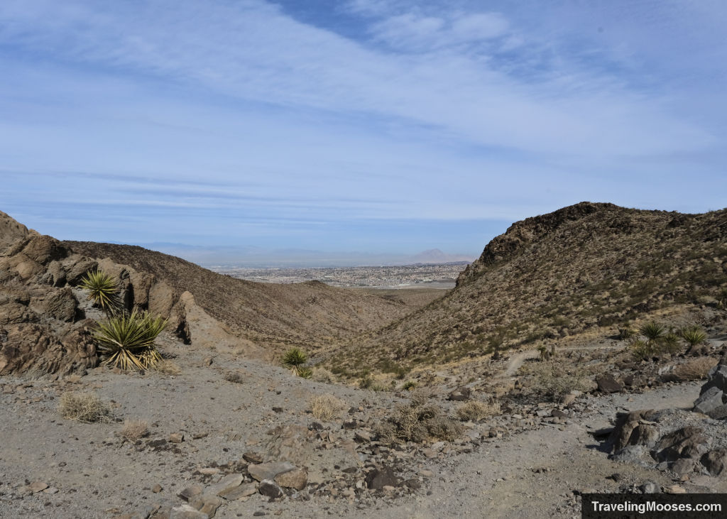
At this point, the trail opens up and shows a view of the Henderson Valley. You can’t see downtown Las Vegas, but the view atop the hill wasn’t too bad.
Insider tip: If you’re looking for a trail with a great view of Las Vegas, check out our experience on the nearby Black Mountain.
From this vantage and completing the back half of the loop, you’ll be downclimbing medium sized rocks over rough terrain. The good news is there was no more soft gravel/sand to sink in, but the progress down the backside of the Cowboy Trail was slow due to the uneven terrain.
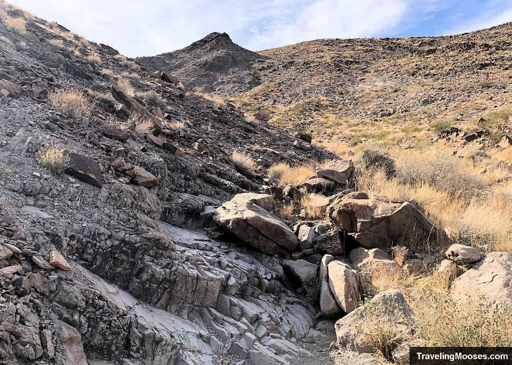
While I enjoyed the downclimbing as a fun change to the soft gravel, Mr. Moose had a good suggestion that it might have been more fun to turn around at the vantage and return the way you came. It would be a little longer and you’d need to downclimb the falls, but seeing the petroglyphs and the canyons again might be a better overall experience.
We reached the end of the loop and reconnected with the original wash we came in on. It was a pretty easy and uneventful walk back to the trailhead.
Should you visit the Sloan Canyon Petroglyph Trail?
Rating: 4.0 Mooses

What we liked
- We enjoyed the small amount of scrambling up dry falls and wandering through the towering walls of Petroglyph Canyon. It reminded us a lot of Gower Gulch in Death Valley.
- We got to see two families of bighorn sheep!
- There was an abundance of interesting petroglyphs covering the rocks after we finished the scrambling portion of dry falls.
What we didn’t
- A large portion of the trail is soft gravel or sand. The kind you sink into and have to work just a little harder to hike through. Overall, it wasn’t that bad, but it definitely adds some time and effort to the hike.
- This isn’t the type of hike where you end up with a huge payoff at the end. There was an ok view of Henderson coming back down the Cowboy trail, but nothing spectacular. This trail is meant for the journey through dry falls and seeing the petroglyphs, not a scenic view payoff.
Verdict: Overall, we liked this short, but fun little hike through Sloan Canyon. If we ended up there on a vacation, we would have been happy with our decision to go. Granted, the bighorn sheep was a huge bonus!
Know before you go:
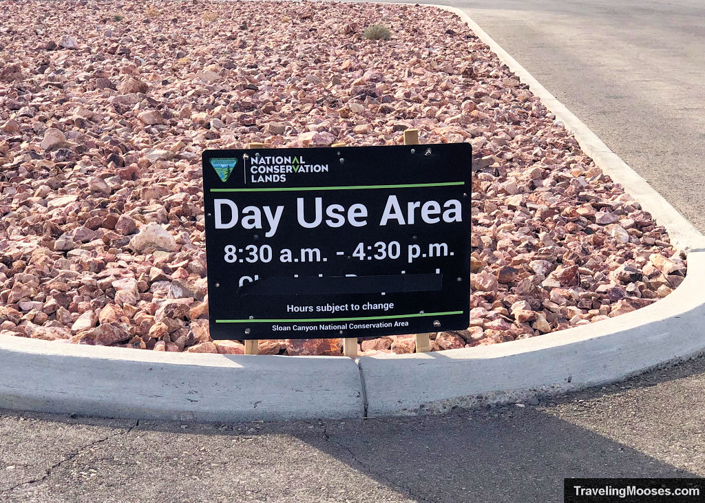
- Petroglyph Canyon is a day use only area. The road that leads to the parking area does close. Current hours can be found on the BLM website, however typically it is 8:30 a.m. – 4:30 p.m. every day between October through May 31 and the same hours from June 1 – September 30, but only on the weekends.
- This is a desert hike, so take precautions against extreme temperatures in the summer (we recommend staying home if the temperatures are above 85). Bring extra water, and watch out for the Mojave Green Rattlesnake, it is common in this area.
- Our cells phones didn’t work while we were on most of the trail.
- Completing the loop portion of the trail requires scrambling up “dry falls.” The majority of the scramble is what I would consider pretty easy, however there is one large rock area that may give some folks trouble.
- The parking lot at the trailhead had room for about 15 vehicles, plus some “oversize” vehicles. On weekends if it gets too busy, BLM can close down the area to prevent congestion, so be sure to go early.
- We recommend going clockwise around the loop. It felt easier to go up dry falls than down. Additionally going down Cowboy trail was a lot easier than going up would have been.
- The petroglyphs are extremely fragile and should not be touched, climbed on or leaned on.
- Bikes, drones and pets are not allowed on the trail.

