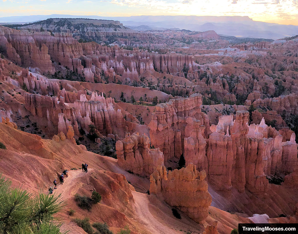
Navajo and Queens Garden Loop is by far the most popular hike in Bryce Canyon and we can see why.
Hikers are immediately met with stunning views which persist throughout the trail and the moderate difficulty coupled with a shorter distance makes the loop accessible to many.
In this guide:
- Navajo and Queens Garden Loop trail stats
- What to expect on the trail
- Is the trail worth it?
- Practical info for your trip
Wall Street, Navajo & Queens Garden Trail Stats
| Trail description | Loop |
| Trail Start | Sunset Point, Bryce Canyon National Park |
| Parking lot | Parking at Sunset Point |
| Round trip mileage | ~3.0 miles |
| Average time | 2 to 3 Hours |
| Difficulty | Moderate |
| Elevation gain | ~625 |
| Best time to visit | June – September |
| Amenities | Parking, restrooms, trail signs, garbage cans, scenic overlook |
| Entrance Fee | $35 per vehicle for 7 days or the America the Beautiful Pass (pricing subject to change) |
| Rating | 5.0 Mooses |
Interactive Trail Map
Below is an interactive trail map of our route and photos. If you can’t see it, visit google maps directly here.
What to expect on the trail (our experience)
Arrival at Bryce Canyon’s Sunset Point
Bryce Canyon’s premier hiking is located in the amphitheater section of the park. This includes Bryce Point, Sunrise Point, Inspiration Point and Sunset Point. While this trail can be accessed from multiple starting points, we wanted to start at Sunset Point and go counter-clockwise.
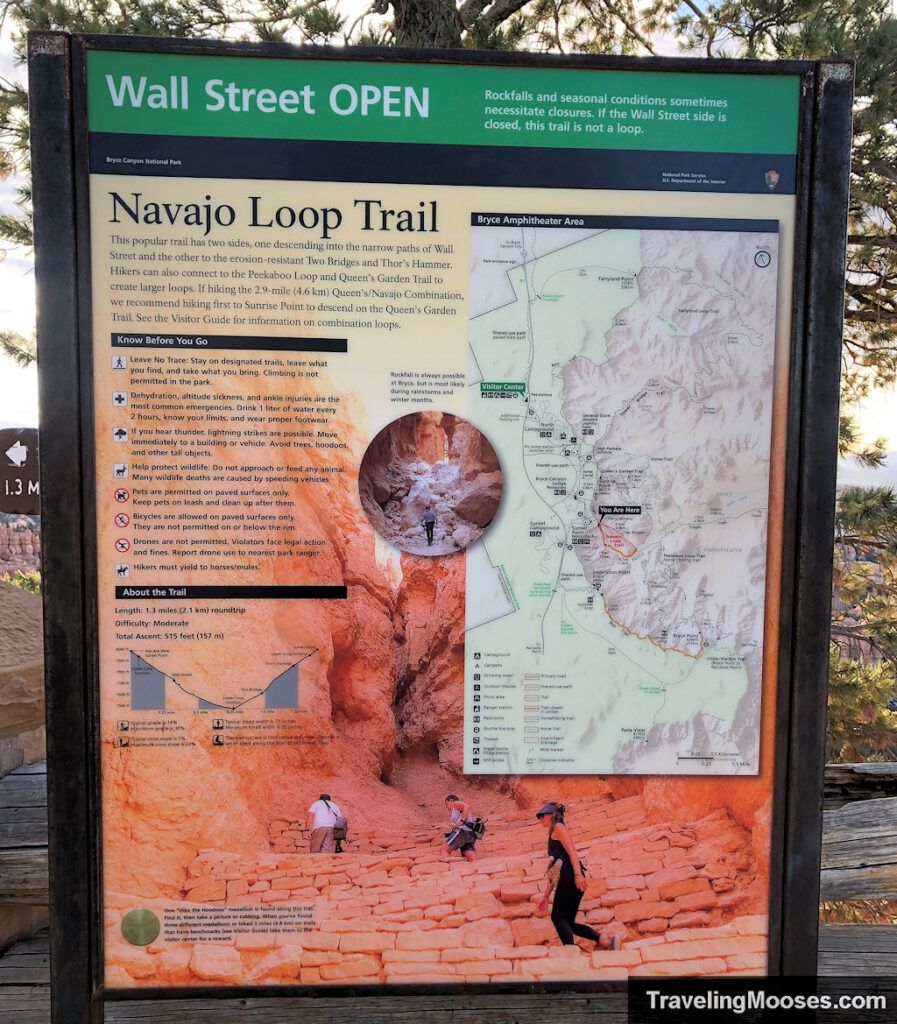
Given the trail’s popularity and limited parking at the trailhead, we arrived just after 7 a.m. on a Sunday. We found the parking lot was already starting to fill up. If you don’t want to drive, you can take the free shuttle (schedule here – it usually starts at 8 a.m.) and save the headache. Whatever you choose, we recommend you start early.
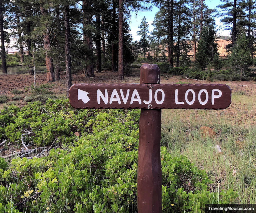
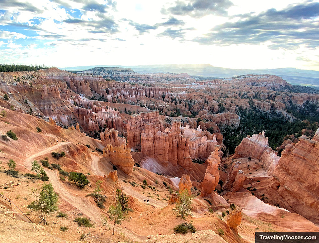
Follow the signs to the overlook and be prepared for an awe-inspiring view before you take one step on the official trail.
Once the trail begins, you’ll have two options, the Two Bridges side or Wall Street. Wall Street is seasonally closed when precipitation combines with freezing overnight temperatures, however the Two Bridges is open year-round.
We opted to visit the widely popular Wall Street side.
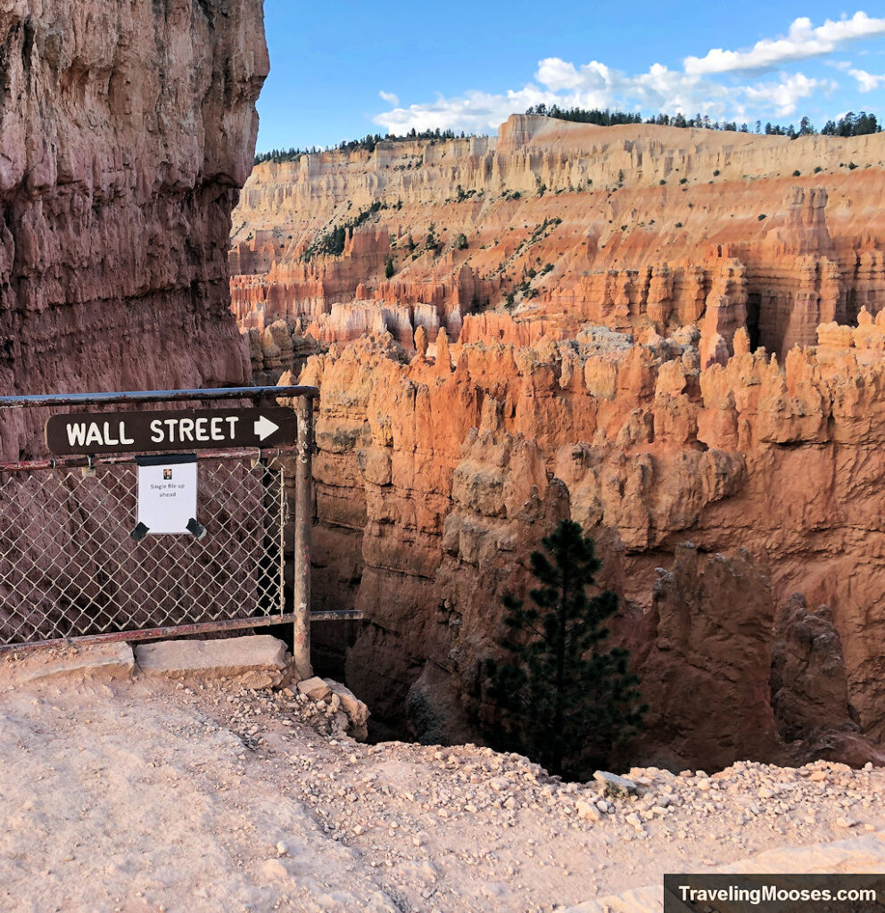
Wall Street side of the Navajo Loop Trail
A short distance from Sunset Point lookout, you’ll see a fork in the trail with the right leading to Wall Street and the left leading to Two Bridges. We went right to the entrance of Wall Street and began our journey down the winding switchbacks and towards the dramatic slot canyon at the bottom.
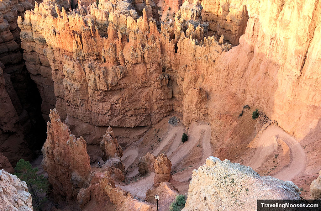
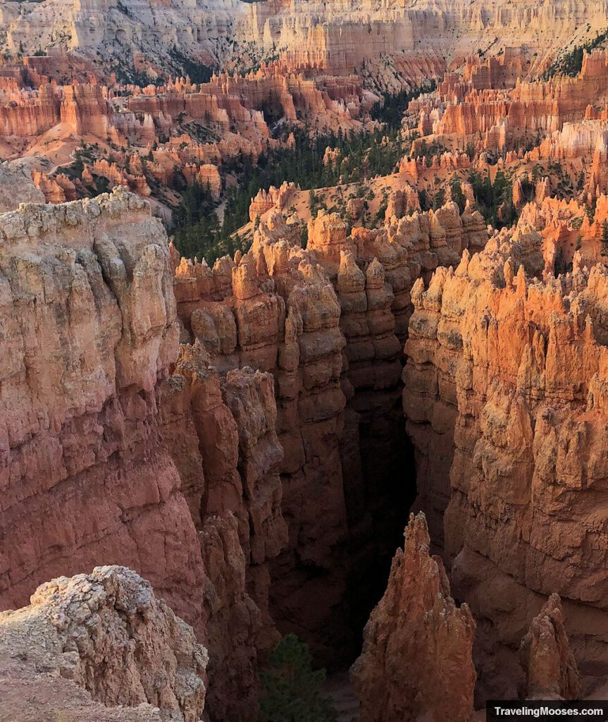
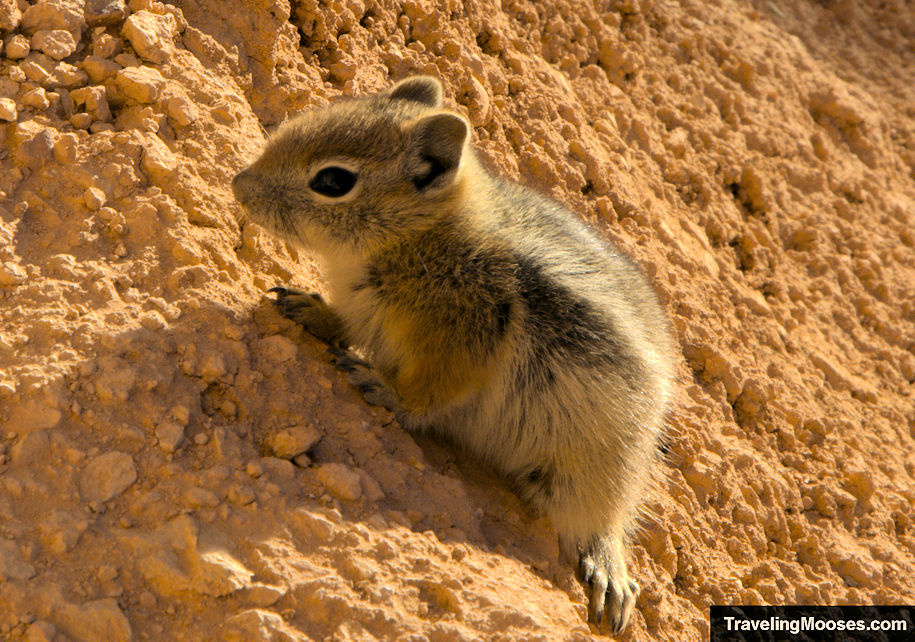
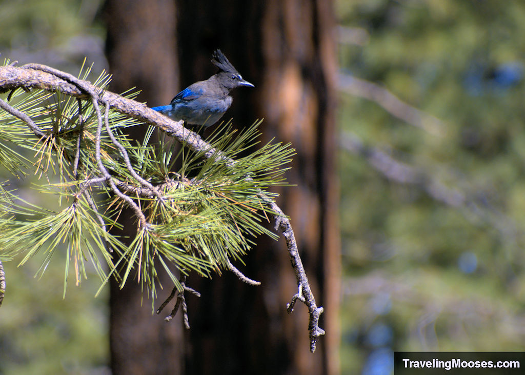
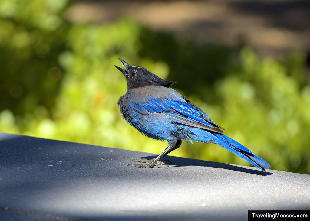
Among the first switchbacks, we found this little guy waiting for us. So cute!
As we made our way down, it was helpful to have trekking poles as there was some loose gravel on the switchbacks.
The park recommends a clockwise route along the trail so the visitors go up this path rather than down. It would be easier to walk up from a footing perspective, but the views going down were excellent.
From the NPS site:
- “The views into the Bryce Canyon Amphitheater from the Queen’s Garden trail are in front of you when you descend the trail in this direction. Enjoy these views instead of losing them over your shoulder while hiking up.
- While it seems counterintuitive to descend the less steep Queen’s Garden, most injuries happen while walking down the steeper Navajo side of the loop. Help prevent injuries by ascending Navajo!
- When visitors are hiking a trail in the same direction it can help a busy trail like this one feel less crowded.”
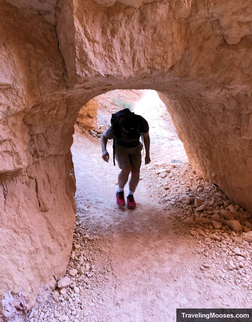
Before reaching the lowest elevation on this portion of the hike, you’ll enjoy switchbacks and traverse through carved rocks along the trail.
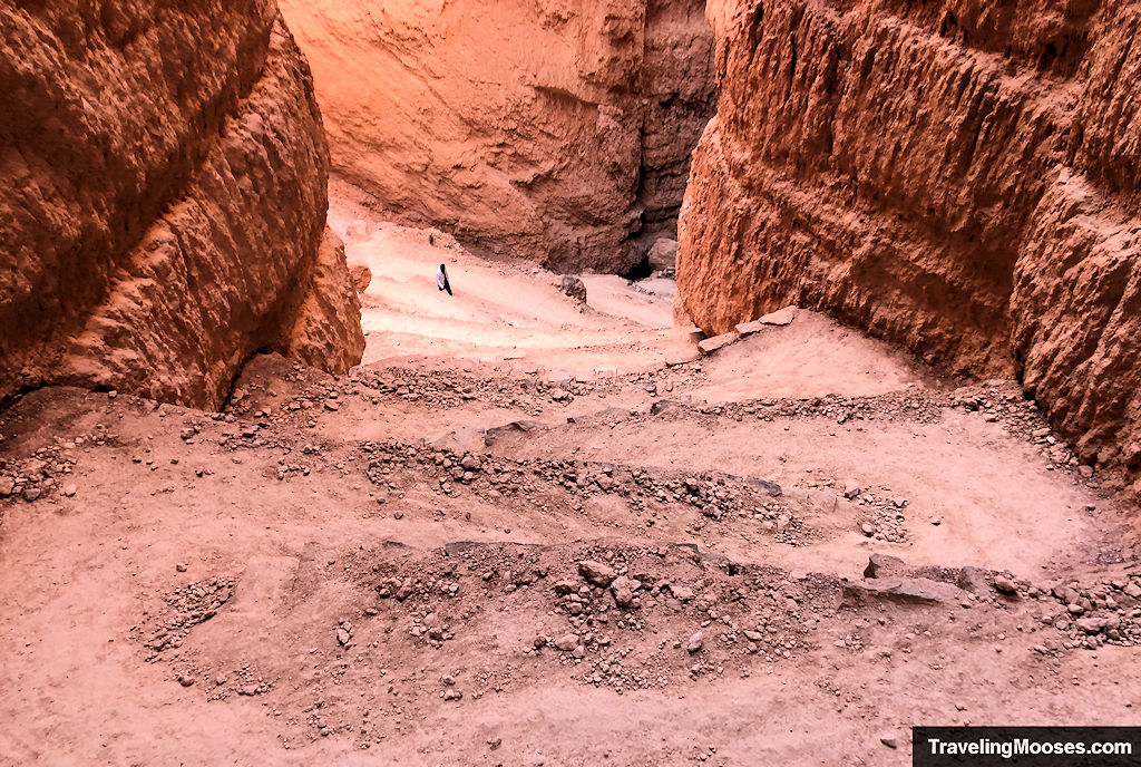
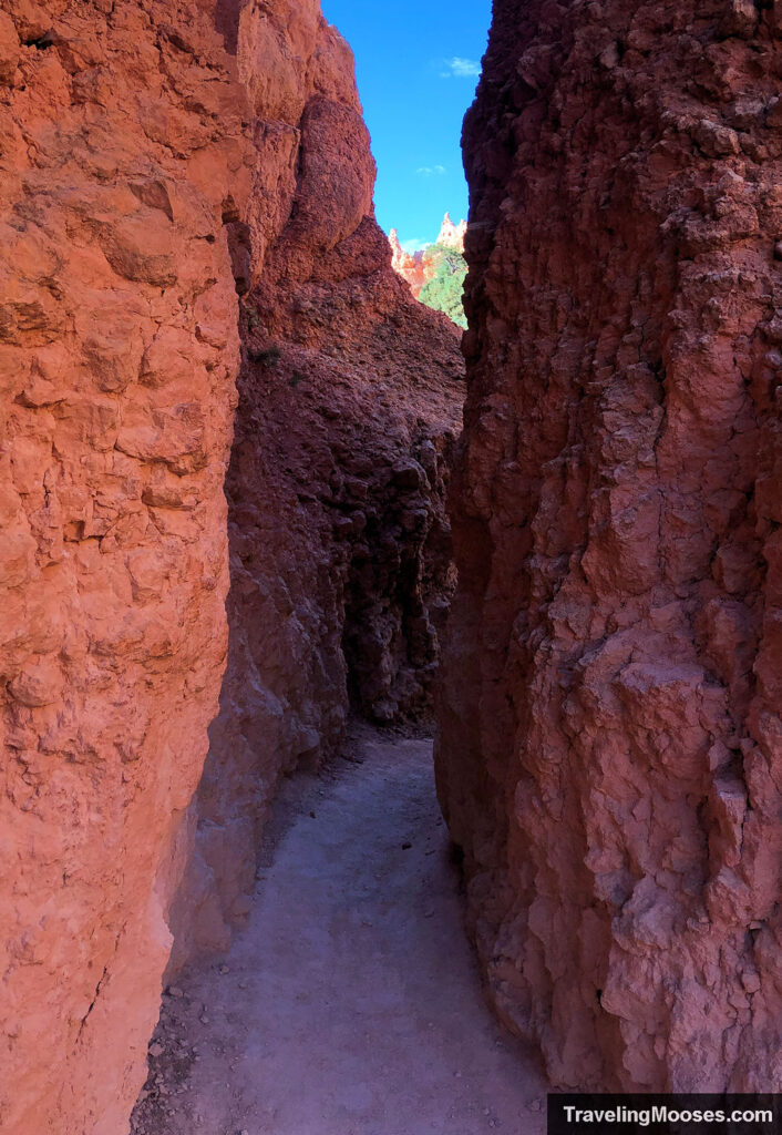
When you finally the reach bottom, you’ll walk between what is the largest slot canyon I’ve ever been in. It was dark and cool in the shadows and would be incredibly dangerous if a flash flood came through. We couldn’t find any videos of flash flooding in the canyon, but there were some pictures from a storm that came through in 2021 and a rockfall that occurred in 2023.
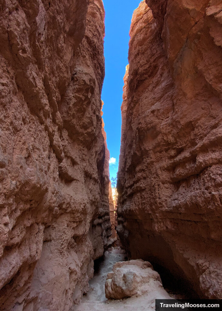
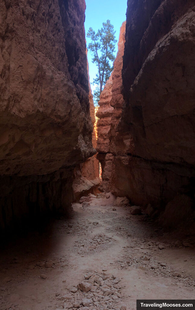
After you exit the slot canyon, you’ll find yourself in an open area with hoodoos as far as you can see with trees dotting the landscape. There were far fewer hikers on this portion of the trail.
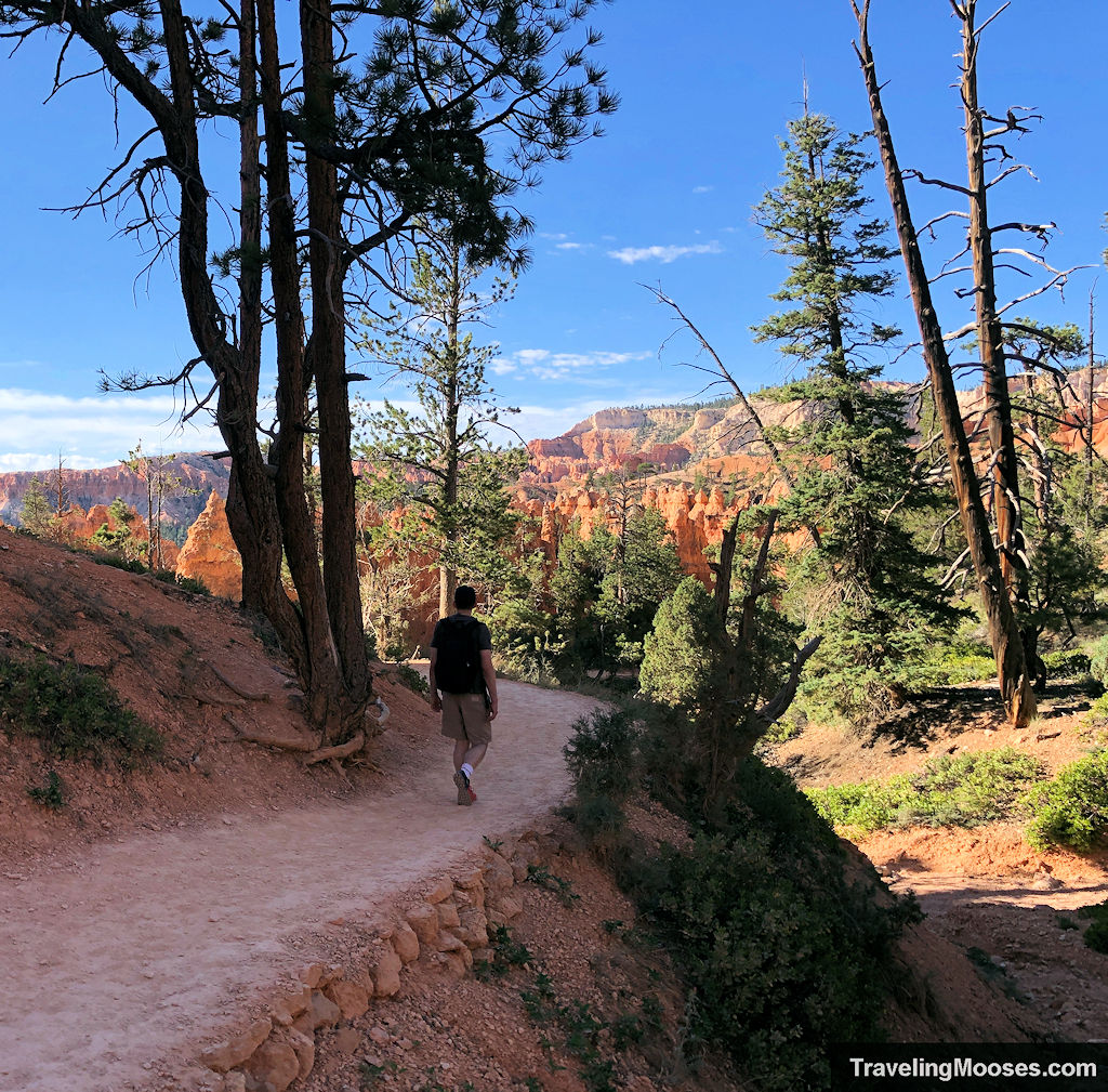
You won’t be on this portion of the trail long before you come to a fork in the road.
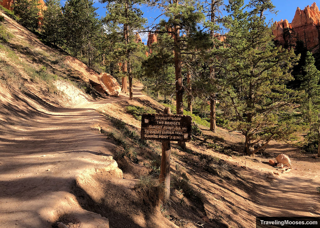
At this point, you can choose to go back to Sunset Point (0.6-mile return), past the two bridges along the Navajo Loop, or you can continue along the Queens Garden Trail to Sunrise Point (1.6 miles). Keep in mind, if you do keep going to Queens Garden, you’ll either need to take the shuttle back to Sunset Point, or keep going along the Rim Trail which adds additional mileage (~0.8 miles).
We opted to take the Queens Garden Loop trail and continue our journey.
Queens Garden Loop Trail
Up until this point, we had enjoyed the trail tremendously. We had no idea it would continue to impress the entire journey.
The path continues winding through hoodoos, forest, and carved passages in the rock.
After a short period of time, you’ll see the famous Queens Garden in the distance and run into the trail fork leading to Queen Victoria.
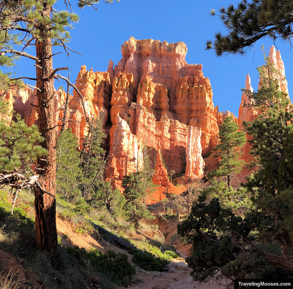
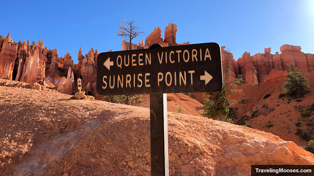
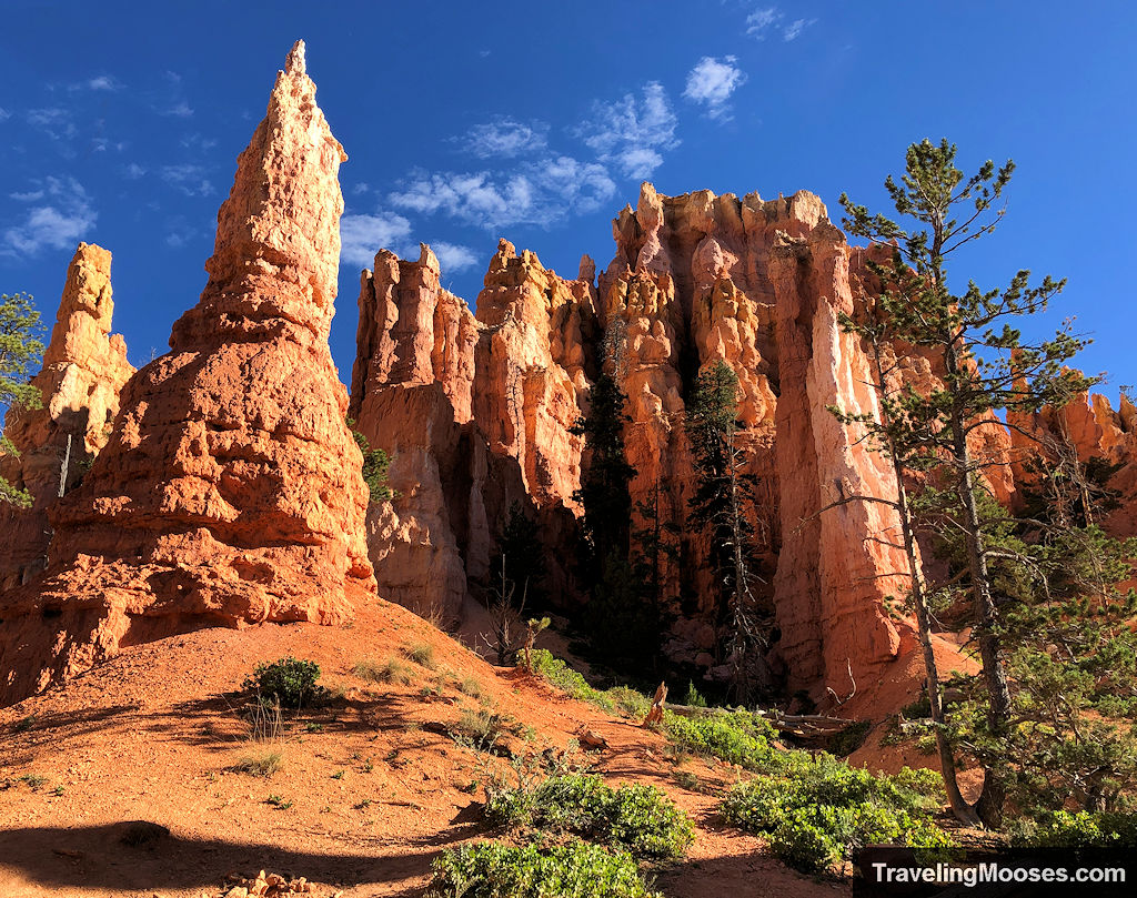
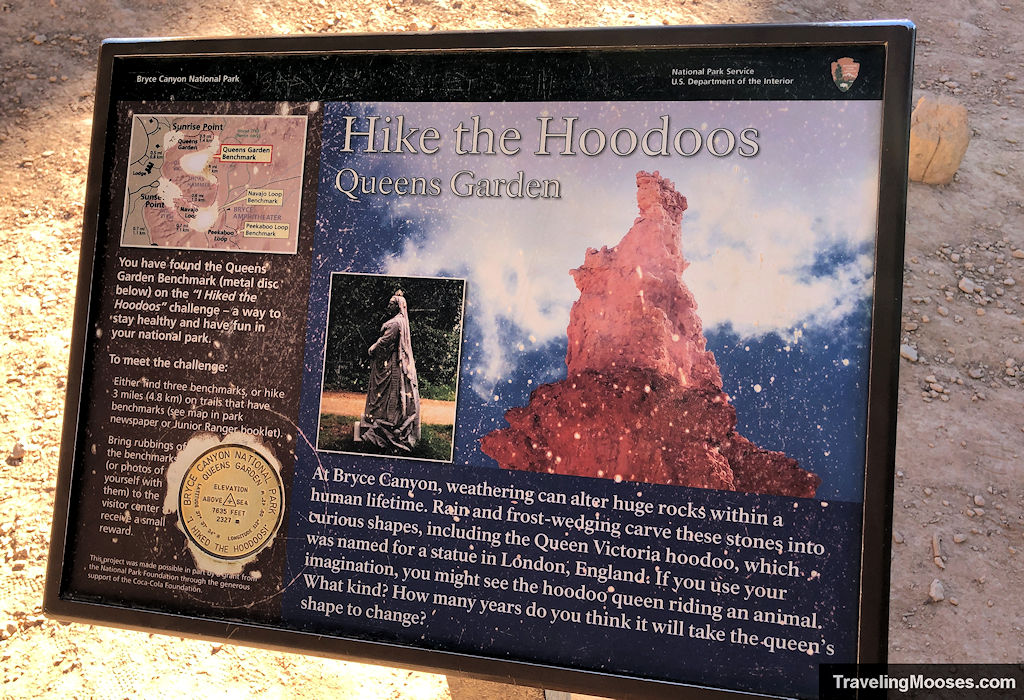
We did end up taking the side path to Queen Victoria, and despite there being a sign that showed what she looked like, we completely missed it.
We thought it was the rock on the left in the picture below. Not even close to the same actually.
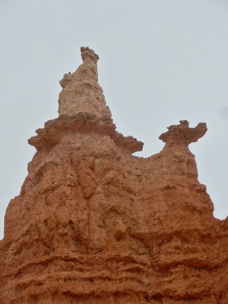
Here’s a real picture someone else took.
After the Queen Victoria side-trek, we continued on the path back towards Sunrise Point. Along the way, you’ll be met with unique views.
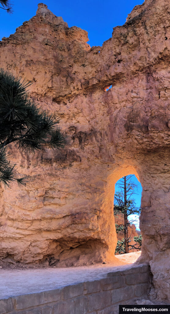
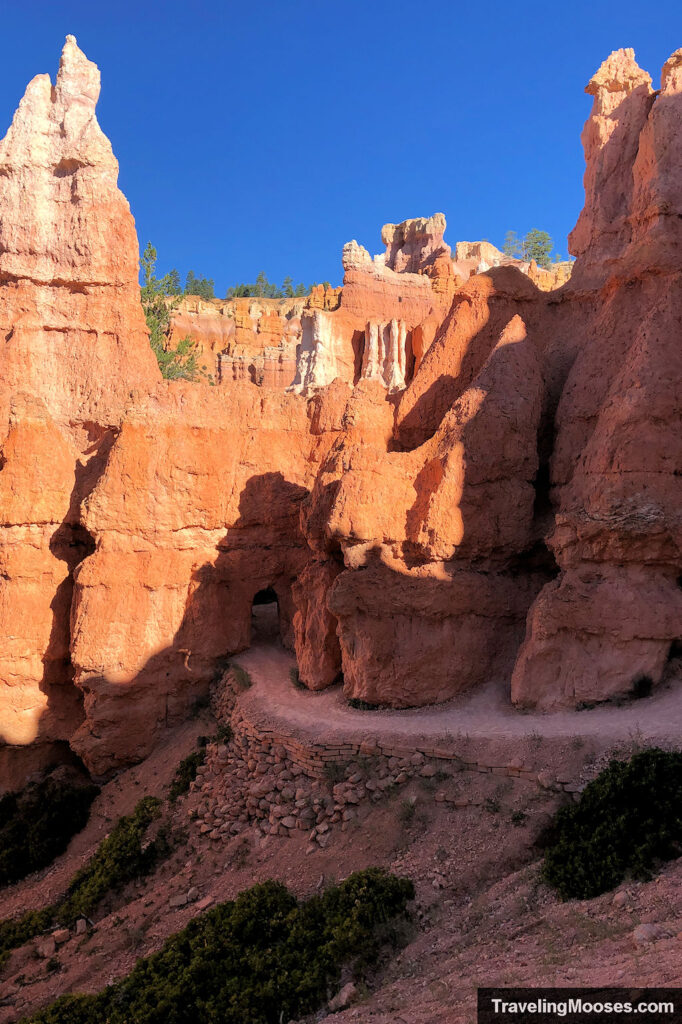
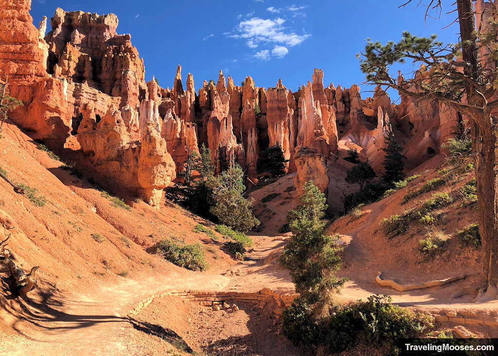
This also marks the steady elevation back up to the canyon’s rim.
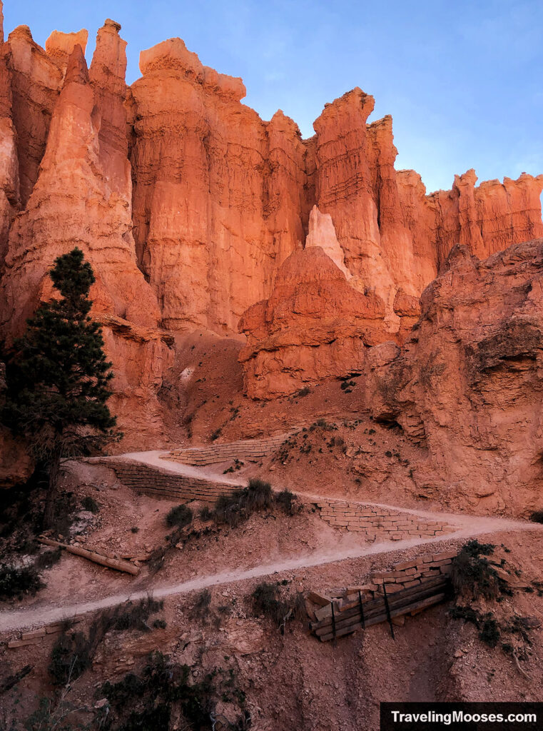
Gaining elevation back to the rim will bring additional views of the famous amphitheater.
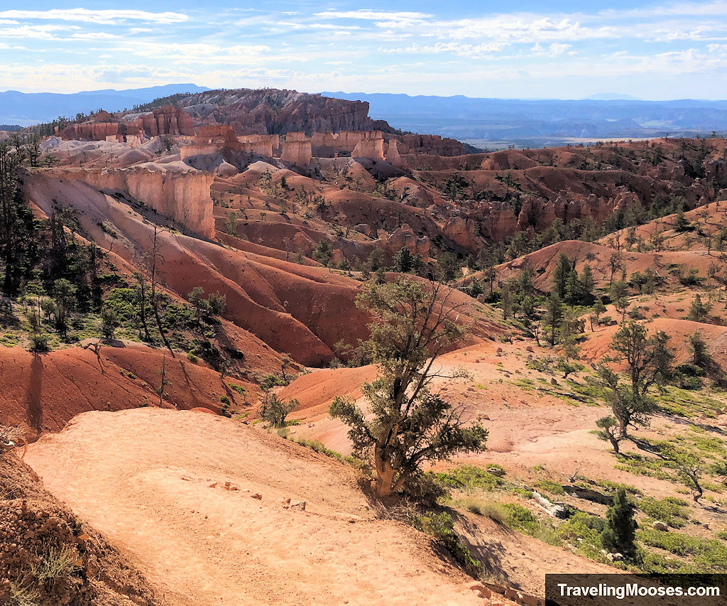
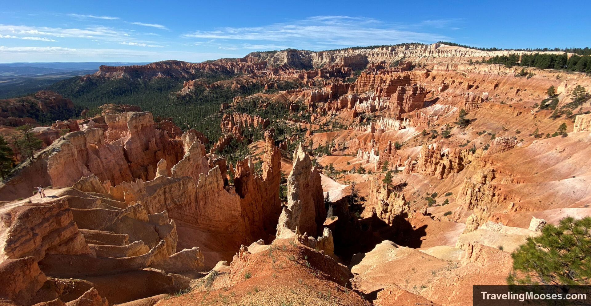
Finally, you’ll reach Sunrise Point.
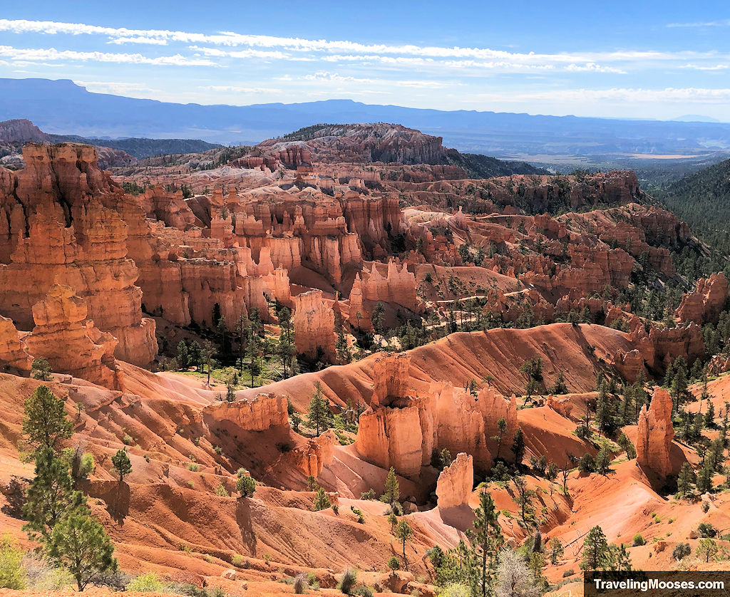
Return along the Rim Trail
After reaching Sunrise Point and soaking the views, it’s time to make your way back along the Rim Trail to the Sunset parking area. You could also take a shuttle, but it’s a short walk back and the views are spectacular.
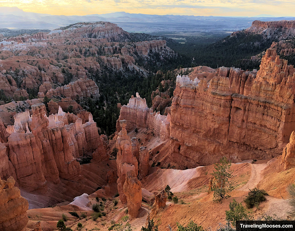
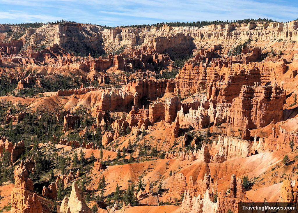
We finished our day with a few final shots back at Sunset Point of Thor’s Hammer and the surrounding areas.
Is hiking Navajo and Queens Garden trail worth it?
Rating: 5.0 Mooses

What we liked:
- The scenic views both from the Rim Trail and among the hoodoos
- The Wall Street area of the hike was particular striking with a huge slot canyon and unique switchback trails
- The carved stone arches along the trail
- No part of the trail was boring – there was always a new rock formation or vantage to soak in
What we didn’t like:
- There’s not much to dislike on this trail. If we had to pick something, it would be how popular it is and the limited parking.
Verdict: If you do one thing when you visit Bryce Canyon National Park, hike this loop!
Practical info for your trip
Current trail conditions
- Check the National Park Service for current closures or restrictions.
- Check Alltrails for recent trail conditions. (Note: The Alltrails link is not the exact route we took as we went on the Wall Street side of the Navajo Trail, but it’s still a useful map).
- Check the National Weather Service for temperature forecasts. This is official link the park recommends. More for your visit can also be found here.
What to bring
Be sure to check the weather conditions and pack appropriately. This is what we brought for this hike:
Standard Gear:
- The 10 Essentials. These are a must for us on every hike.
Special Items of note:
- Hiking Boots or closed toe shoes – There were a lot of loose rocks on parts of the trail. We recommend wearing either hiking boots or trail shoes with good grip on them. Trekking poles were helpful for certain sections.
- Clothing – Be sure to bring appropriate clothing for rapidly changing conditions. Weather can change extremely fast, especially during monsoon season.
- Water / Snacks – There is no running water available at the trailhead. Bring plenty of water (especially in the hot summer months) and extra snacks.
- Navigation – We use Alltrails (no affiliation) on all our hikes. We were glad we had a map on this trip as we changed our route mid-stream. There are a lot of side-quests and extra mileage you can tack on in this area. We recommend having something that works offline to keep on your intended route.
Parking
There are several options for parking in Bryce Canyon National Park. You can start at the Sunset Point parking area (which is what we did), the Sunrise Point lot, or take a shuttle in from outside the park.
Unless you plan to arrive at the parking area early, we recommend taking the shuttle to your intended start. There are many opinions as to whether you should go clockwise or counter-clockwise and whether you should start at Sunset or Sunrise.
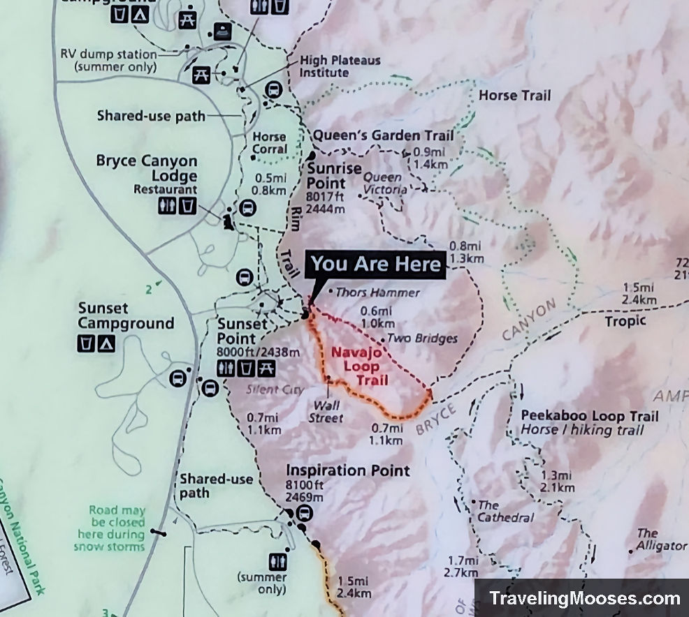
Trail Map
This is the official trail map taken as a photo from the trailhead. We started at the “you are here” location and hiked the Wall Street half of Navajo Trail. We then connected to the Queens Garden Trail to Sunrise Point and finally used the Rim Trail to connect the loop.
There are plenty of options for hiking in this area, so be sure to map out where you want to go and bring a navigation source in case you decide to change your route on the fly (like we did).
Trailhead Amenities
The Sunset Point parking lot had a few amenities:
- Informational signs including trail details
- Shuttle Stop
- Picnic Tables and benches
- Trash Cans
- Restrooms
- Short (10 min, 0.4 miles) walk to the Lodge at Bryce Canyon. The lodge has dining options, a general store, a gift shop and more.

