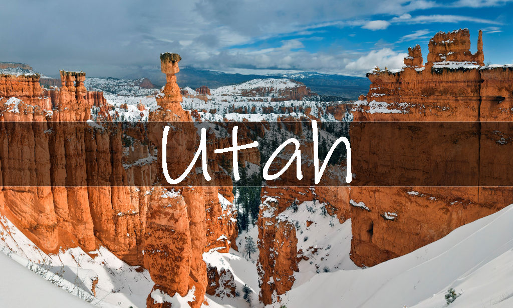
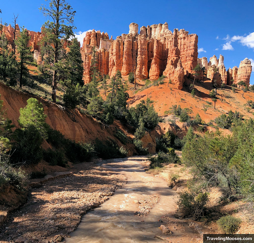
Mossy Cave Trail is an easy and short hike located in Bryce Canyon National Park. Hikers can enjoy towering hoodoos, the Tropic Waterfall and an overhang known as the “Mossy Cave”. On a busy day summer day you’ll find visitors of all ages wading through the refreshing waters and soaking in the views.
In this guide:
- Mossy Cave Trail stats
- What to expect on the trail
- Is the trail worth it?
- Practical info for your trip
Mossy Cave Trail Stats
| Trail description | Out and back |
| Location | Mossy Cave Trailhead, Tropic, UT |
| Parking lot | UT-12, Tropic, UT 84776 (opens in google maps) |
| Round trip mileage | 0.8 miles |
| Average time | Less than 1 Hour |
| Difficulty | Easy |
| Elevation gain | ~150 feet |
| Best time to visit | June through September (temperature dependent) |
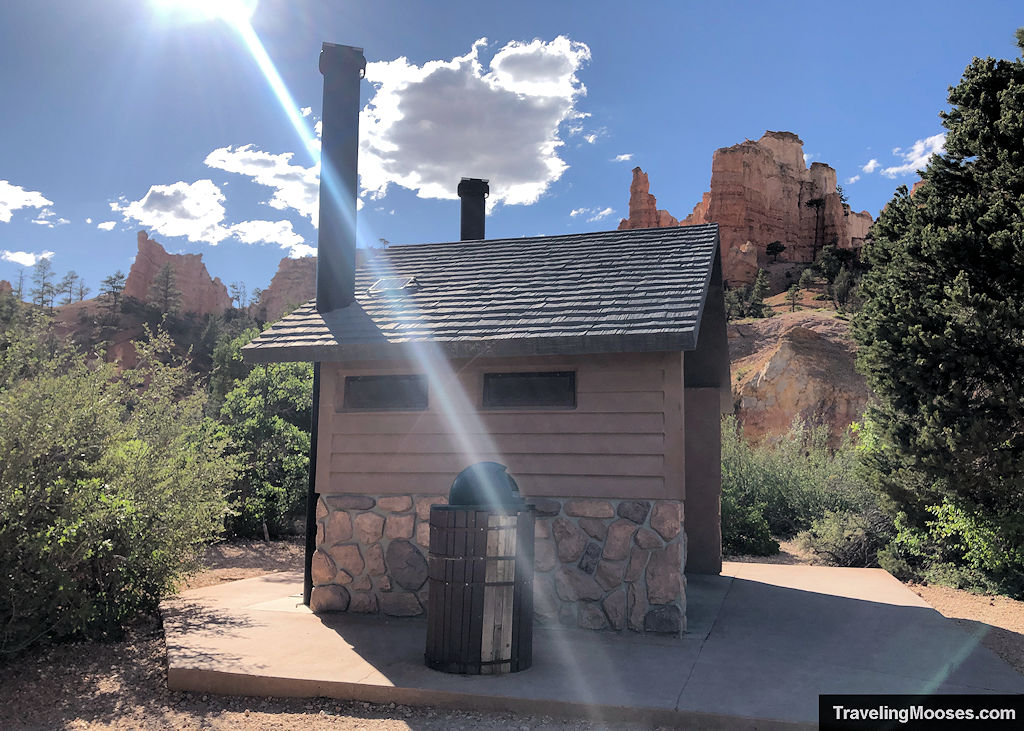
| Amenities | Parking area, restrooms, trash cans, trail information, overflow and RV parking further east down the road. |
| Entrance Fee | $35 for 7-day pass or an America the Beautiful pass is required. You may purchase them online here. |
| Rating | 4.0 Mooses |
Interactive Trail Map
If you can’t see the map, you can view it directly on google maps here.
What to expect on the trail (our experience)
Living in Las Vegas, seeing water in nature has become a novelty. So when we found out there was a waterfall just a few miles from our hotel in Bryce Canyon City, we couldn’t wait to check it out.
We arrived in the late afternoon and found one spot available in the main lot. We could tell this was going to be a popular trail.
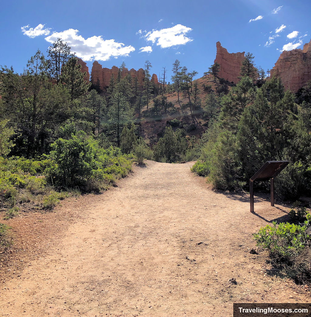
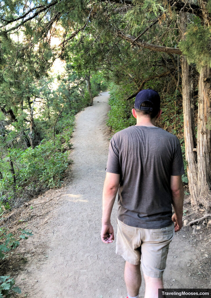
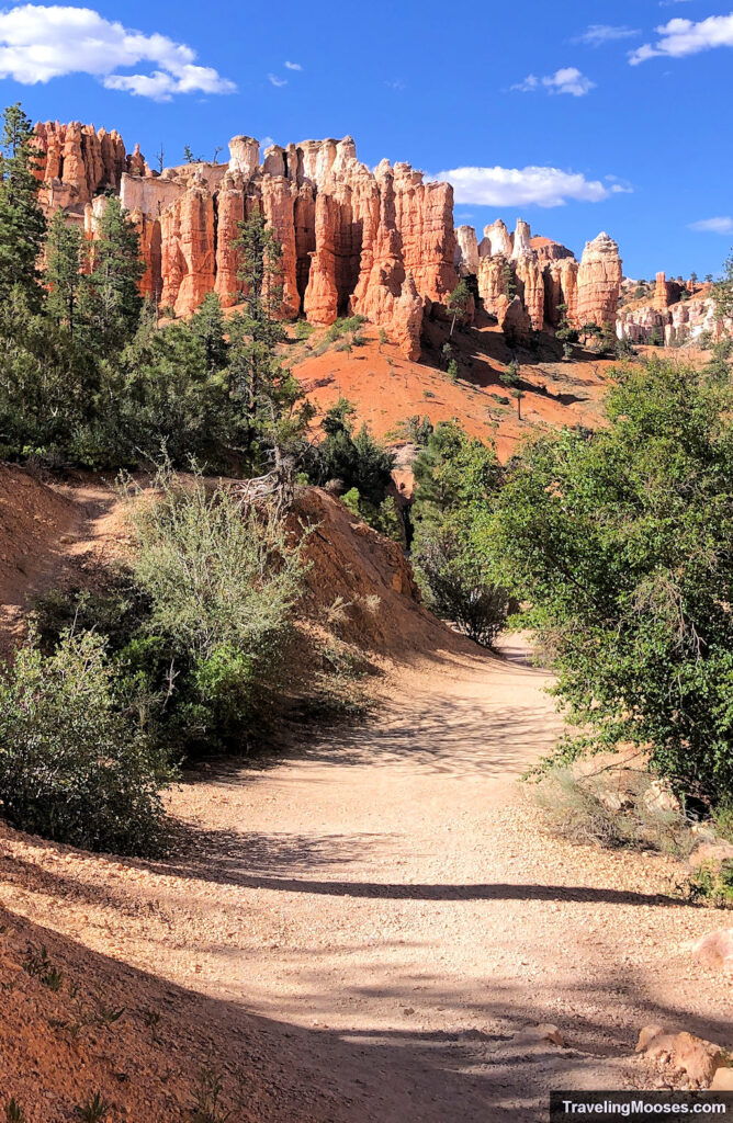
The trail starts off wide and flat with immediate views of hoodoos towering above.
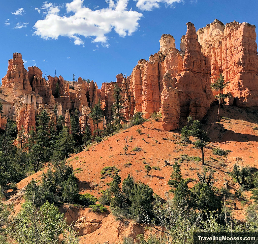
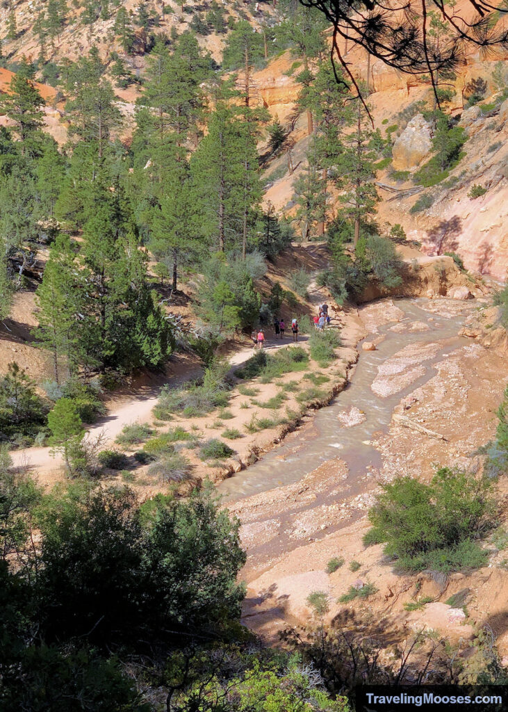
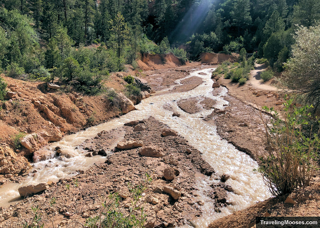
The trail continues along the Tropic Ditch irrigation canal that was dug by Mormon pioneers in the late 1800s. Historically, the wash only flowed in times of heavy rain or when the snow melted. In present times, the water flows from May to October and brings life to the surrounding valley.
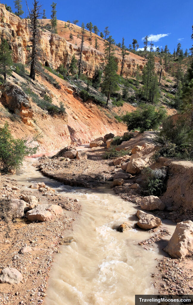
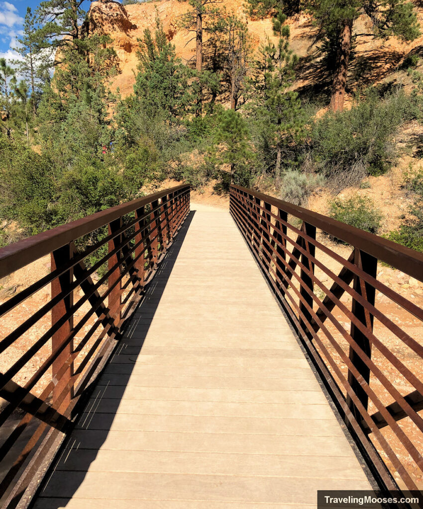
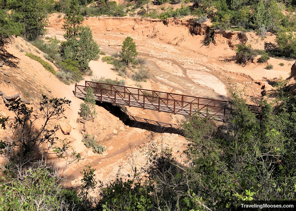
As this is a short trail, you’ll catch glimpses of the bridge crossing well before you reach it. The bridge is an important trail fork for reaching the waterfall.
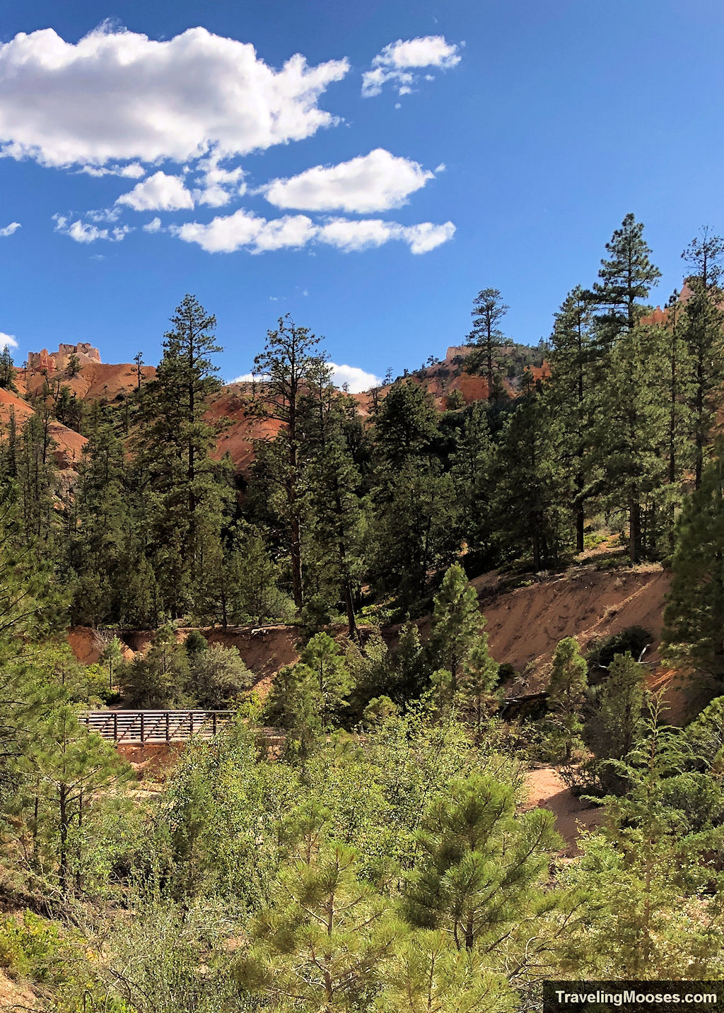
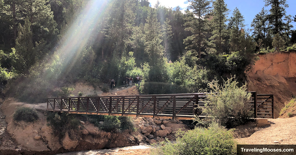
Once you reach the bridge, you can continue across towards the Mossy Cave and a vantage from above the waterfall.
Alternatively, you can go underneath the bridge and walk on an unofficial path towards the waterfall base.
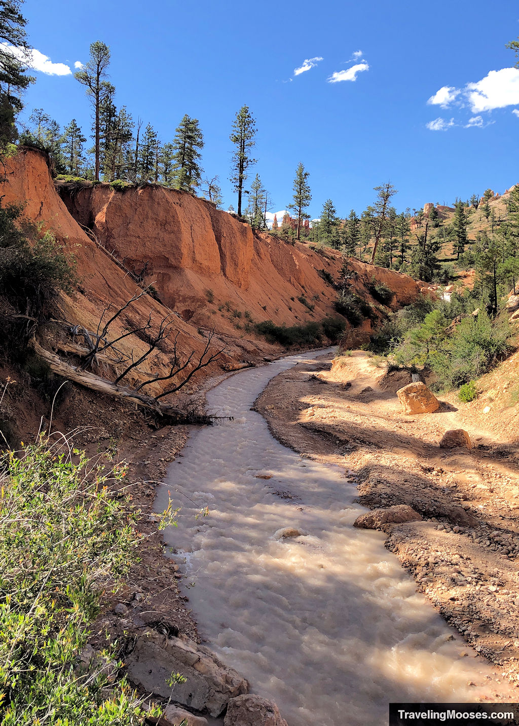
After climbing underneath the bridge, you can follow the stream to the base of the falls. We visited in late June and the water level was relatively low. This may vary depending on when you visit.
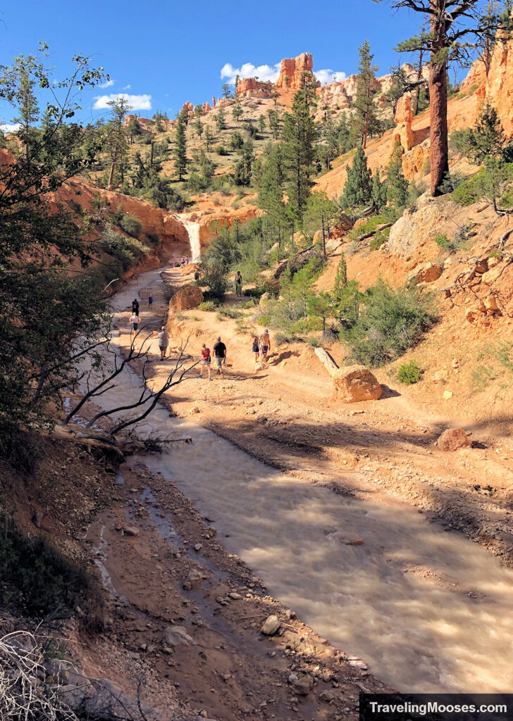
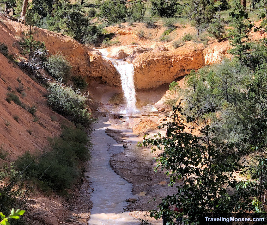
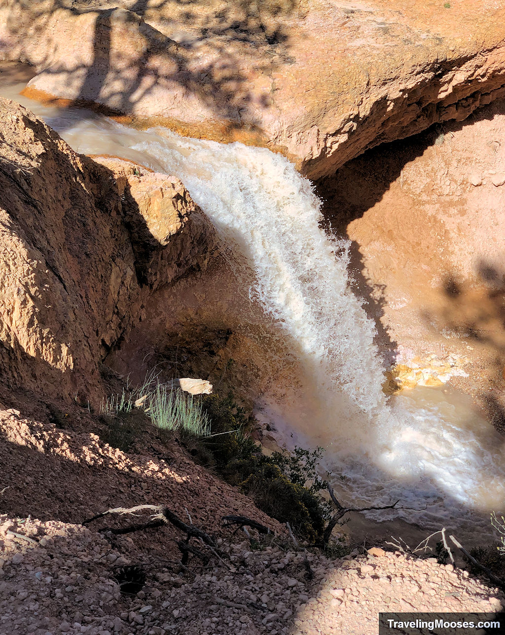
Mossy Cave
Once you’re done checking out the waterfall, it’s time to cross the bridge and make a short trek up to Mossy Cave.
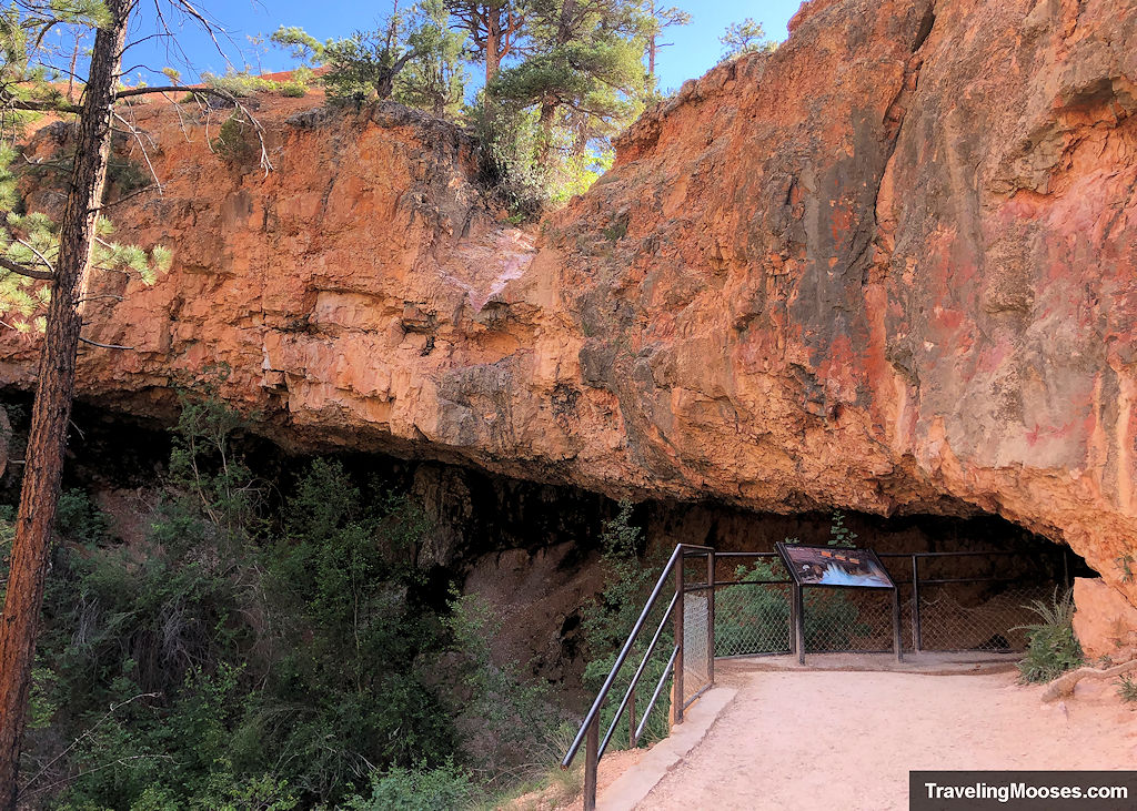
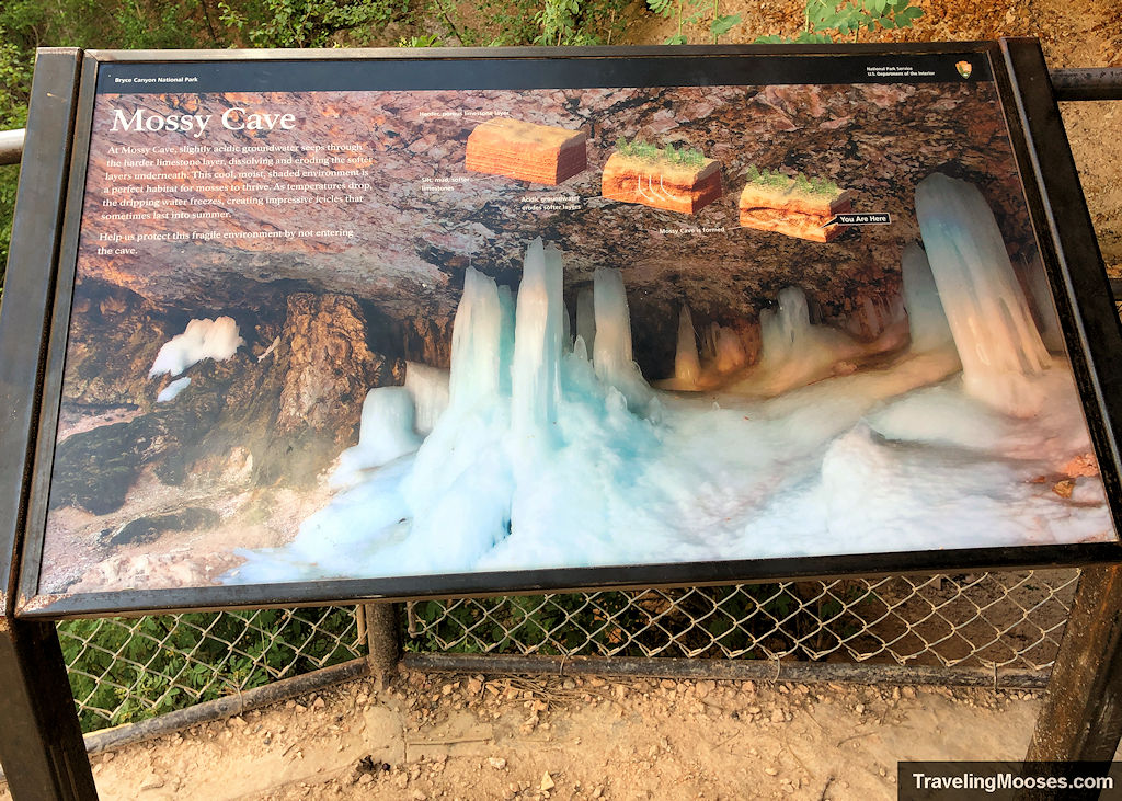
We must admit, the “cave” was underwhelming. There isn’t a lot to see and it feels more like an overhang than a cave. We wouldn’t mind seeing it in the winter though if there were columns of ice adorning the cave walls.
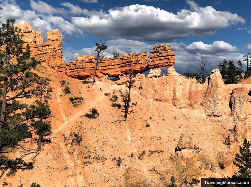
All that’s left to do is retrace your steps at this point. The good news is the views on the way back were just as good as the way there.
Is hiking Mossy Cave trail worth it?
Rating: 3.0 Mooses

What we liked:
- The trail is short, sweet and easy to follow.
- There’s a waterfall to enjoy in an area you wouldn’t expect one to be.
- Hoodoos are present along the trail making for great photo opportunities.
- We’ve seen some pictures in the winter of the icy formations in the cave and would like to have seen them.
What we didn’t like:
- This is an incredibly popular trail due to its length and proximity to Bryce Canyon City, meaning there is little solitude to be found.
- The “cave” is less of a cave and more of an overhang in a rock face.
- Parking at the trailhead is limited, but there is an overflow lot further down the road.
- The water was quite murky the day we visited, but it’s entirely possible it always looks like that.
Verdict: It’s a nice change of pace seeing some water flow, but this is one you can safely skip if you’re low on time.
Practical info for your trip
Is the Mossy Cave Trailhead free to park in?
No, it is not free. A national park pass is required.
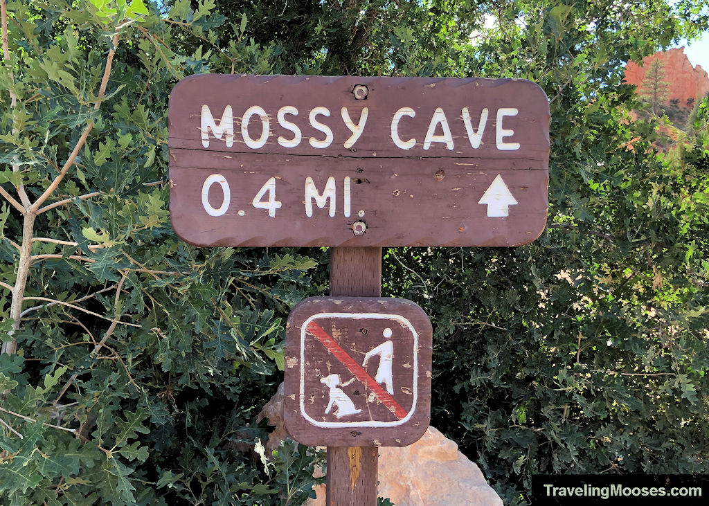
Despite appearances that this trailhead is free, it’s actually located within the confines of the Bryce Canyon National Park. On the sign at the beginning of the trail, you’ll see in small print under the “Know Before You Go” section that “You are entering a US Fee Area.” They have a link to purchase the permit online, but seemingly no way to then display the pass in your window. Here is the link.
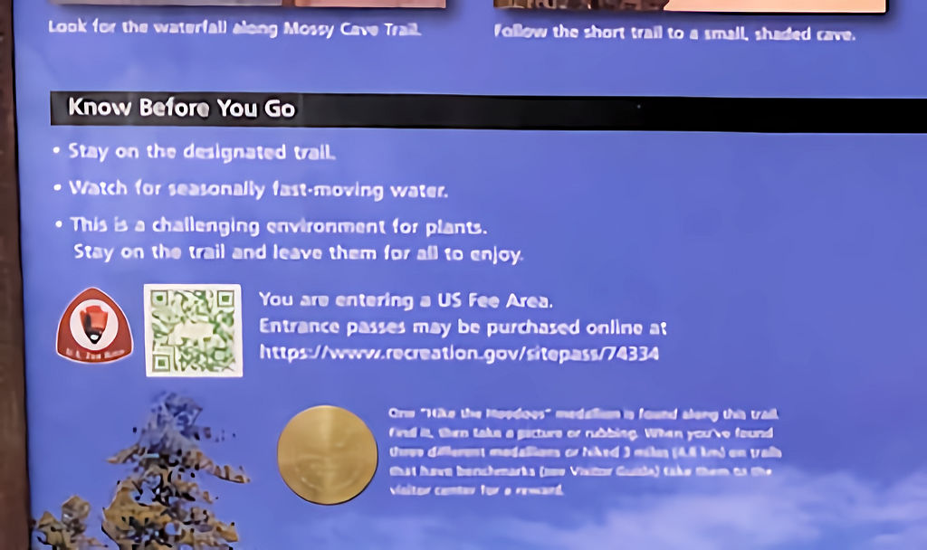
We recommend bringing a pass with you and displaying it in the window.
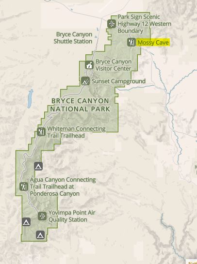
Here’s a map of the official park boundary which includes the Mossy Cave inside it.
Current trail conditions
- Check Alltrails for recent trail conditions. No affiliation, we just like to use Alltrails for navigation and recent conditions.
- Check the National Weather Service for temperature forecasts. This forecast is for Bryce Canyon Airport which appears to the be closet weather station we could find.
What to bring
Be sure to check the weather conditions and pack appropriately. This is what we brought for this hike:
Standard Gear:
- The 10 Essentials. These are a must for us on every hike.
Special Items of note:
- Hiking shoes – This is a well-developed trail and we saw many people wearing flip flops and tennis shoes. If you’re going to explore off trail near the waterfall, you may want to bring different footwear. We also recommend wearing good hiking shoes regardless of where you’re hiking.
- Clothing – Be sure to bring appropriate clothing for rapidly changing conditions. Weather can change extremely fast, especially during monsoon season.
- Water / Snacks – There is no running water available at the trailhead. Bring plenty of water (especially in the hot summer months) and extra snacks.
- Navigation – We use Alltrails (no affiliation) on all our hikes. The trail was well marked and we didn’t need it, but you should always have a form of navigation on any hike you take.
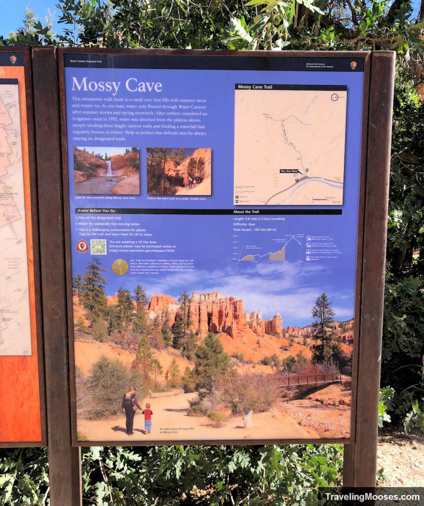
Trail warnings
These are the local warnings posted by the park:
- Stay on the designated trail
- Watch for seasonally fast-moving water.
- This is a challenging environment for plants. Stay on the trail and leave them for all to enjoy.
Parking
A small paved parking lot is available directly at the trailhead off UT-12. We recommend slowing down in this area as there are lots of cars entering and exiting the road. If you find the parking area is full (which is easy to do), you can find an overflow parking area further to the east on the right-hand side of the road. This will require walking back to the trailhead. The overflow lot includes space for RVs.
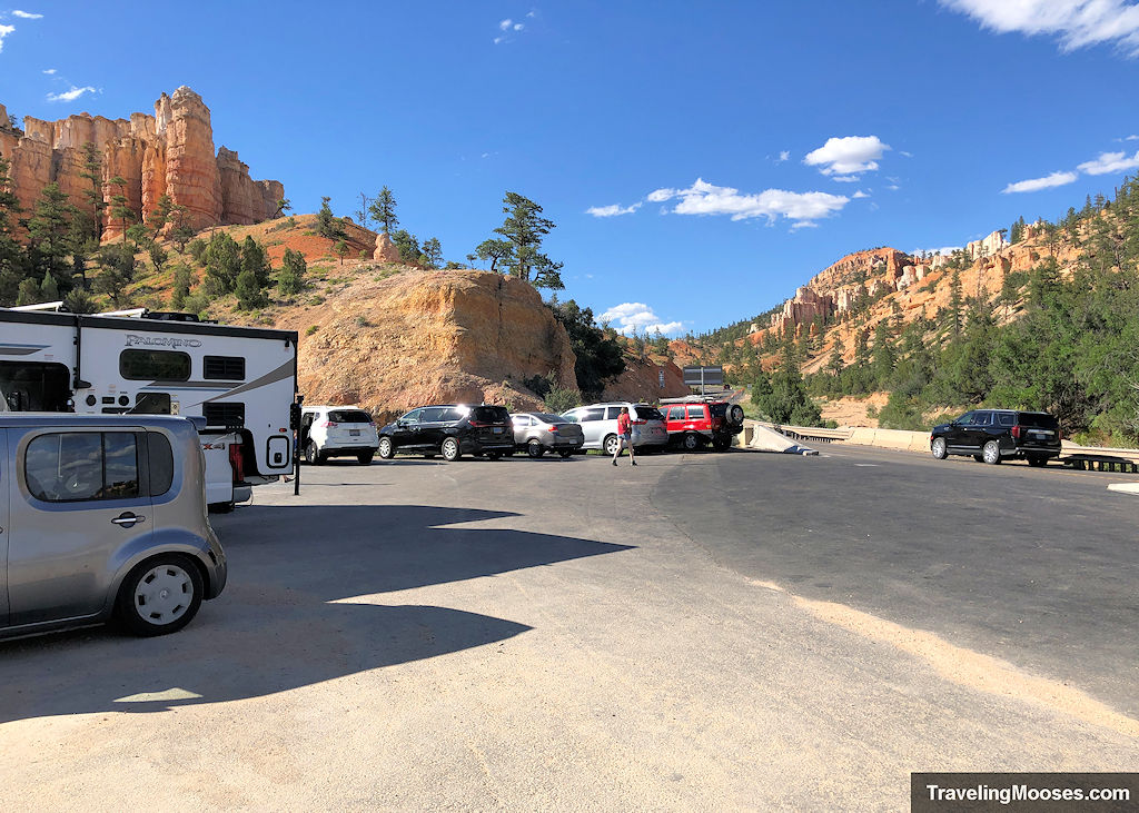
Aerial view of the main parking area: Main Lot (opens in google maps)
Street view of overflow parking area: Overflow lot (opens in google maps). Note: At the time of writing, there is no aerial view of this lot, it’s all shrub brush.
Trail Map
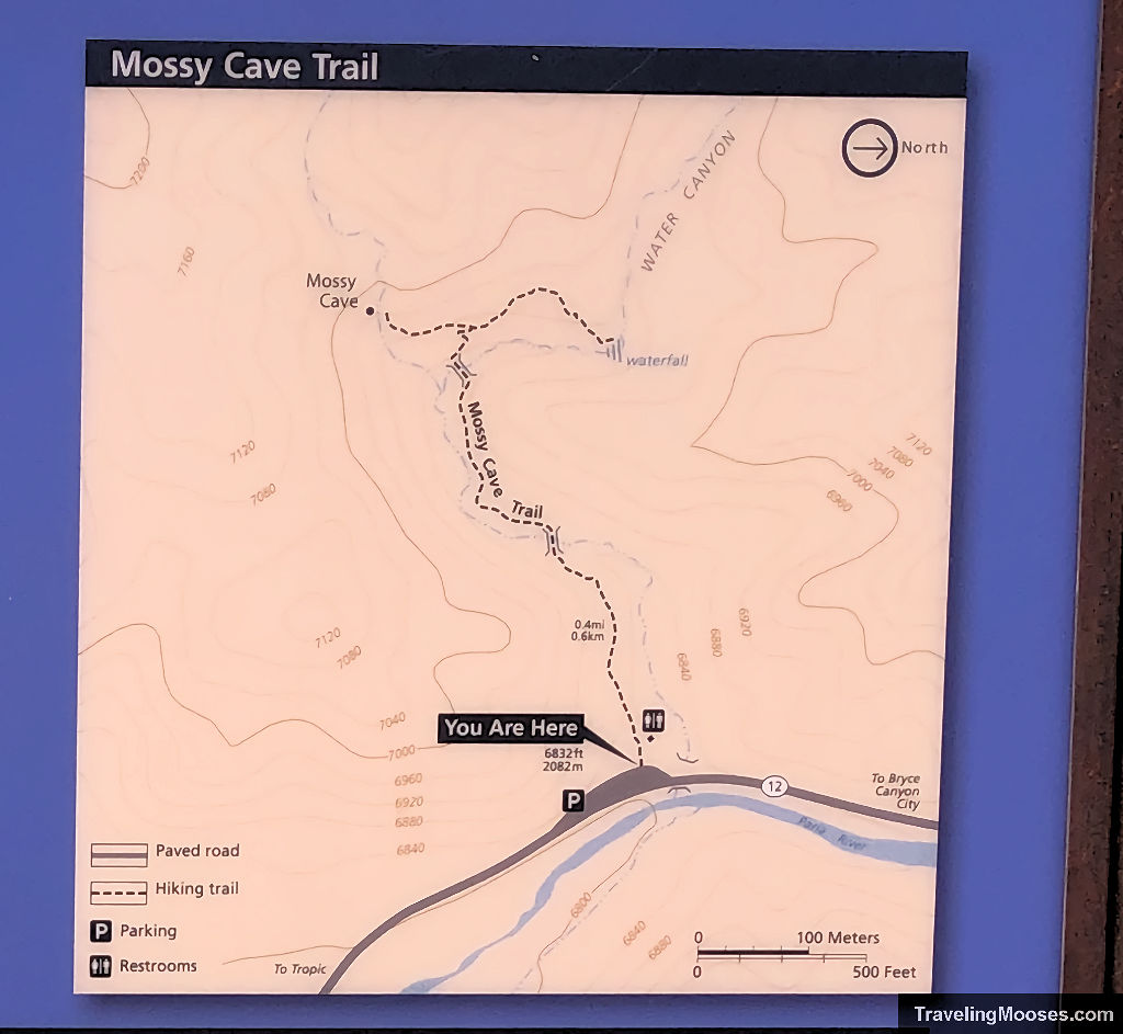
Trailhead Amenities
There isn’t a lot at this trailhead, but you can find the following:
- Restrooms
- Trash can
- Paved parking lot & overflow lot
- Trail information
