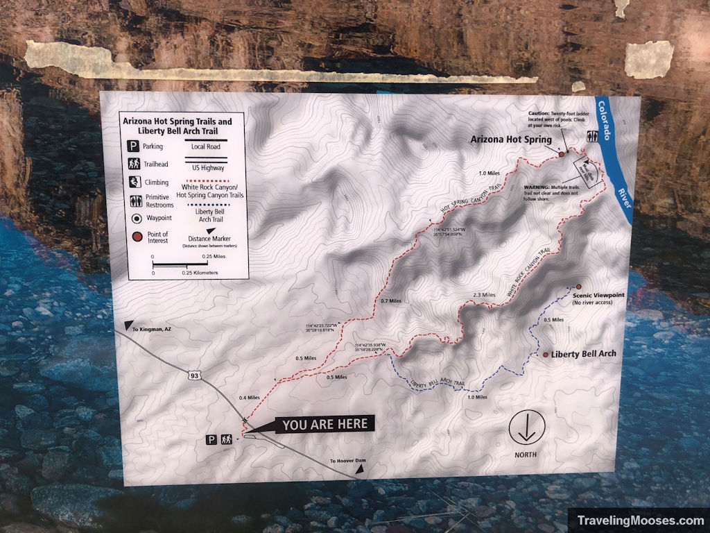
Liberty Bell Arch hiking stats
| Trail Description | Out and back |
| Trail Location | White Rock Canyon Trailhead, Willow Beach, AZ 86445 |
| Parking Lot | 35.98031, -11469808 |
| Round Trip Mileage | 5.1 Miles |
| Average Time | 2-4 hours |
| Difficulty | Moderate |
| Elevation Gain | ~1,000 feet |
| Best time to visit | Oct through May 15. The trail is closed May 15 – Sept 30 due to heat. |
| Rating | 4 Mooses |

Our experience at the Liberty Bell Arch and Colorado Overlook trail
Nearing the end of April, we knew the trails in the Lake Mead area would be closing soon and we wanted to hike the Liberty Bell Arch trail.
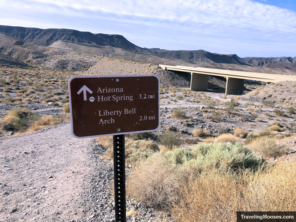
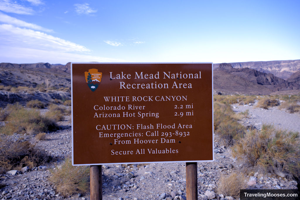
After snagging a parking spot in the White Rock Canyon Trailhead parking lot, we set out across a gravel path and passed under highway 93 along the White Rock Canyon Trail. Since we arrived at the trailhead around 8AM for a mid-week visit, we mostly had the trail to ourselves. We saw a few travelers heading out to the AZ Hot Springs trail, but otherwise it was quiet.
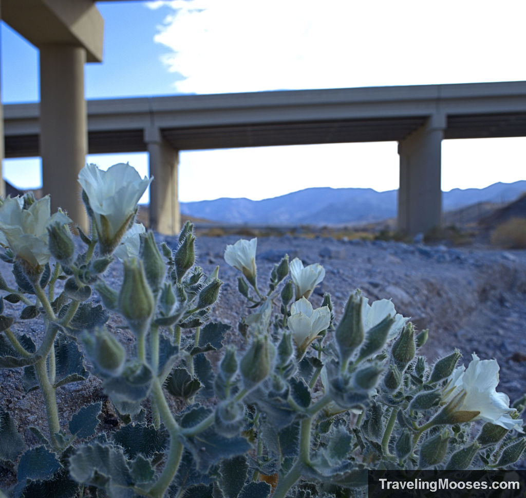
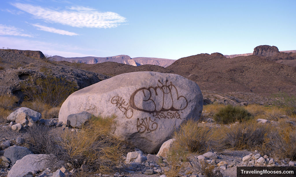
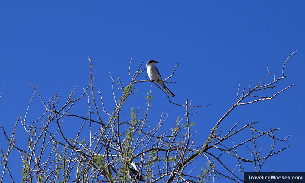
The trail starts off with sweeping views of the valley and traverses through a large wash that must be subject to flash floods. We spotted a few birds on the trail and contemplated why someone would spray paint ‘evil’ on a large boulder.
Less than a half mile up a loose gravel wash, the trail splits right(ish) towards to the arch (left to the hot springs). There was a trail sign at the fork but the arrow wasn’t 100% clear which way to go. It looks like the trail heads off to a sharp right, but the correct way is to head more straight through some slot canyons. The good news is if you end up taking the hard right, the trail eventually connects again to the main trail, but you’ll add some mileage (and elevation) to your hike. We went up the wrong trail for maybe 5 minutes before figuring it out and heading back the correct way.
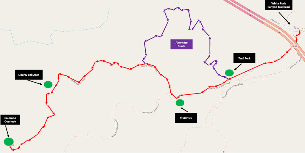
Interactive map
You can download Alltrails to help guide your path. I recommend buying the upgrade to use when you’re offline as cell service isn’t great out there. No GPS service is full proof, but after using Alltrails on several outings, we’ve been very happy with it.
After getting back on the main trail, we slogged through the gravel in the slot canyon on a slightly downwards incline and wondered what it would feel like hiking back up the wash at the end of our hike in the hot sun (spoiler alert, it wasn’t fun).
If you keep a close eye on the rocks in the slot canyon area, you’ll notice green/white dots every so often indicating you’re on the right path. While we didn’t spend too much time in this area, there were a few side routes you can explore.
After coming out of the slot canyons, the trail again leads to the right (with a clearly marked sign). If you stay left, you’d be heading on an alternate trail toward the AZ hot springs.
Other than views of rocky hills and the occasional shrubbery, there’s not too much to speak of on the trail until you reach the old ore mining equipment. Up an embankment you’ll find an old ore cart and just a little farther an entrance to the old mine. We didn’t go into the mine, but we did gawk at the entrance. Something about a dark and likely unstable mine shaft never seemed appealing to explore. There was nothing stopping us from entering, but I certainly wouldn’t recommend it.
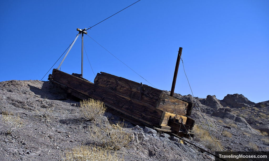
After snapping a few pictures of the mine cart, we peered off into the distance at our first glimpse of the Liberty Arch…it seemed far away.
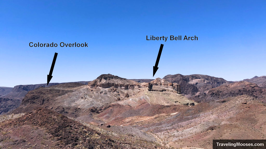
The trail begins to descend into the valley for a brief respite of elevation gain before the final upwards push to the Arch and later the Colorado Outlook.
As we were leaving the rocky outcrop with the mining ore cart and heading off down to the valley towards the Liberty Arch, the wind began to pick up something fierce. “Did you order wind?” I asked Mr Moose, “because I didn’t!” He just shook his head.
In the short time we’ve been desert hiking since we relocated to Vegas, we’ve noticed that wind and the desert go hand and hand. It’s a love/hate relationship when you’re out hiking in these conditions. On one hand the wind keeps the heat down considerably resulting in cooler temperatures and less need for water. On the other hand, dust gets everywhere and some of the gusts can be quite strong. It also makes keeping your hat on a bit of a challenge.
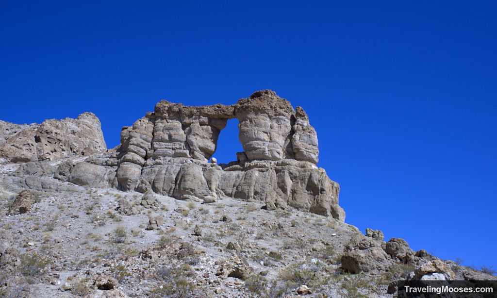
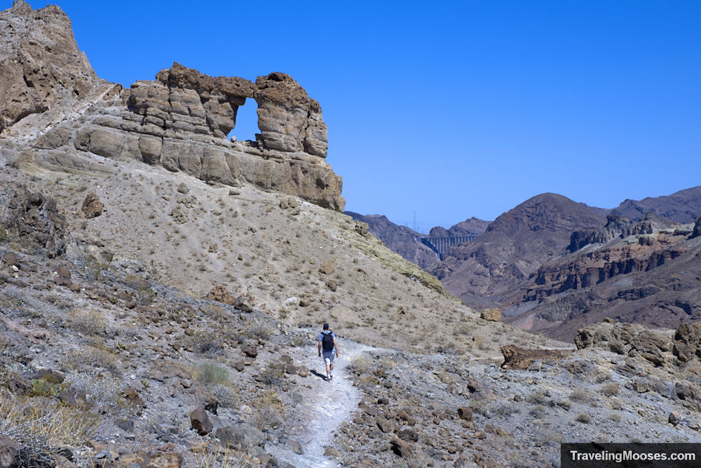
We finally reached our first solid view of the Liberty Arch and what a sight it was. The first vantage comes looking at the Arch from the north. As you continue down the trail, you’ll get to see a closer view looking at it from the south. The real adventurous can hike up the hill to the base of the Arch for further inspection, but we opted to skip that and keep going.
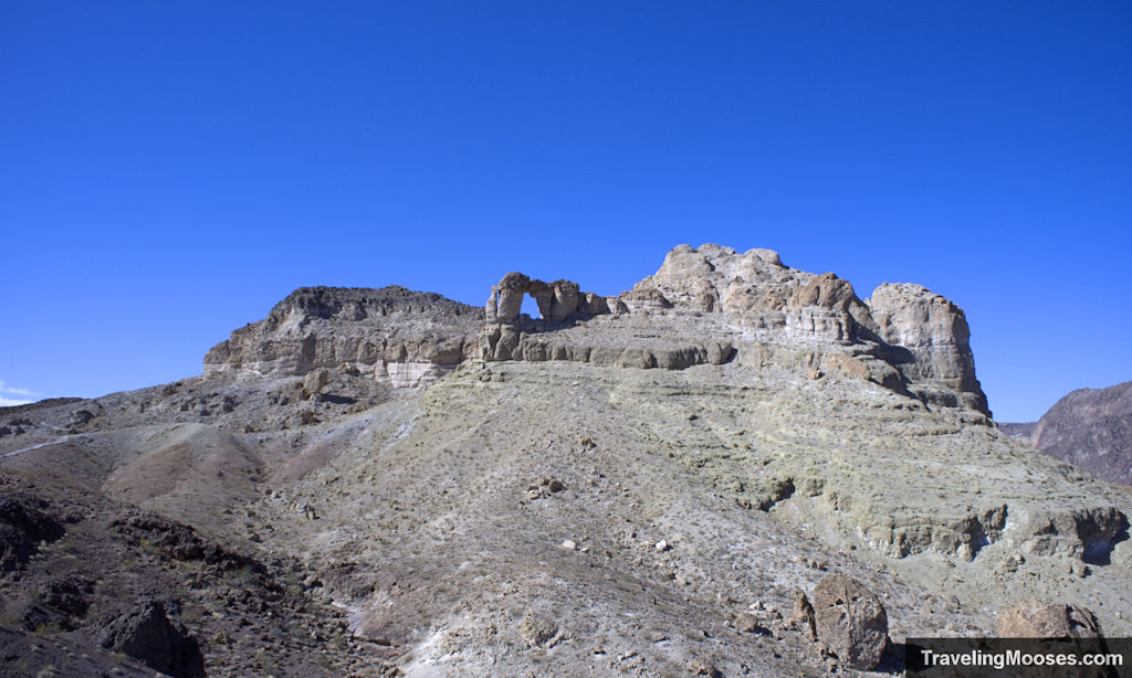
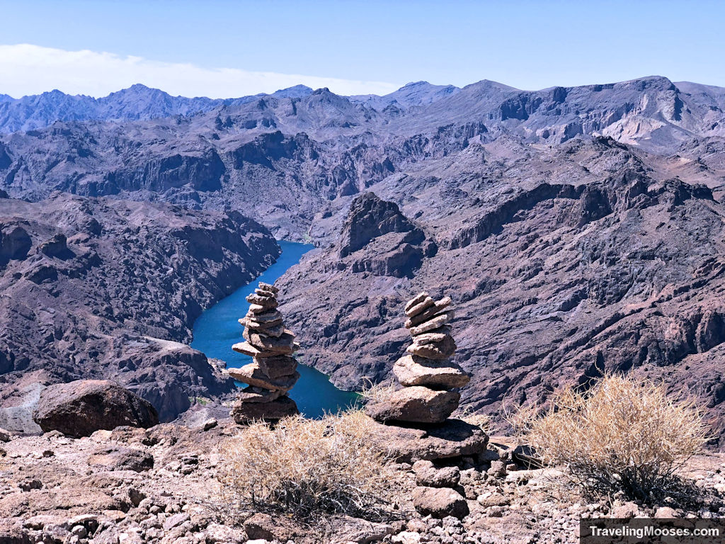
We knew we wanted to see the Colorado Overlook before heading home for the day, so we continued our journey up the well-marked trail towards the viewpoint. The wind continued its endless rage and we trudged up the final push to the top with multiple false summits standing between us and the river view.
By this point, I had long given up on my hat and tucked it away as we reached the overlook. This turned out to be a good decision as the wind was even worse when we reached the top.
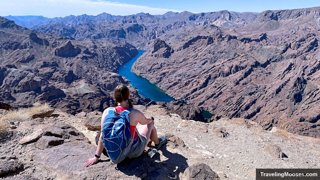
The views are worth the climb, but with the wind and shape of the plateau, there wasn’t a great place to rest and soak in the vantage of the Colorado River.
After a few poor attempts at trying to take a panorama of the river in the wind on the tripod, we figured it was time to head back.

The journey back down the trail seemed to fly until we reached the cutoff back through the slot canyon. This is where the trail turns back into shallow loose gravel and is slightly inclined back to the trailhead. Of course, by this point the wind had died down and the summer heat nearing noon was beginning to take its toll. It couldn’t have been more than low-80’s the day we were there, but in the desert, it feels much worse. We could see why the trail gets closed down for the hottest summer months.
Back at the trailhead we saw a few groups getting ready to head out the AZ hot springs, but the usage of the Liberty Arch trail overall seemed light. All in all, it was a fun little hike in the Lake Mead area.
Visit or Skip?
Rating: 3.5 Mooses
- What we liked
- Multiple landmarks on the trail including the old mining equipment, Liberty Bell Arch and Colorado River Overlook kept things interesting
- Less trafficked trail than the nearby AZ hot springs trail
- What we didn’t like
- The crazy amount of wind on the trail
- The trail could have been marked better
- The last mile of loose gravel
Verdict: It’s a fun trail to visit once, but go when the temperatures are low.
Know before you go
- Shade is mostly non-existent on this trail, bring extra water
- The winds can be fierce on the trail, especially at the Colorado Overlook
- The trail is closed between May 15th and September 30th each year for good reason
- Dogs are allowed on the trail and we didn’t see any areas they would struggle with
- The first / last mile is a great workout in the loose gravel, but can be extra frustrating when it’s hot outside
- Consider downloading the full version of Alltrails to help you navigate if you get lost easily
- Wear closed toed shoes to avoid the loose gravel on the trail
Frequently Asked Questions about the Liberty Bell Arch Trail
What is the parking situation at the Liberty Bell Arch Trail?
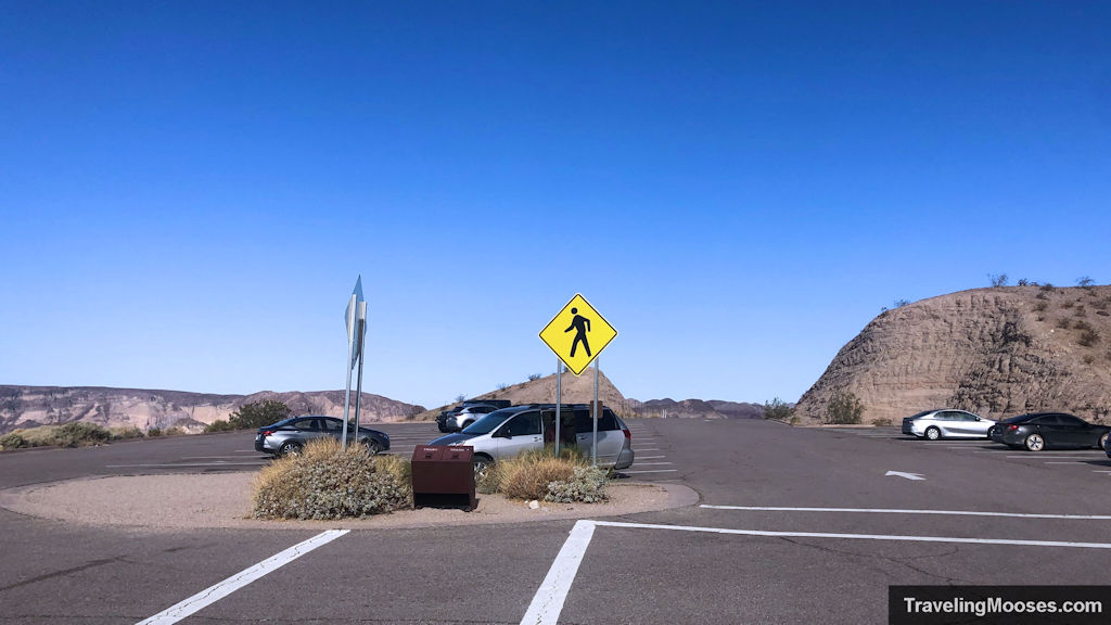
The parking lot for the Liberty Bell trail is located at the White Rock Canyon Trailhead. The coordinates are 35.98031, -114.69808. The parking lot has enough spots for 30-40 cars. Come early if you want to ensure you get a spot. No passes are required.
Why is the Liberty Bell Arch Trail closed in the summer?
The trail is closed from May 15 through September 30th due to the extreme temperatures in the area. By June, the average temperature exceeds 100 degrees, climbing to 110 in July. Keep in mind that temperatures are taken in the shade, so the actual ‘felt’ temperature on an average 100 degree day feels much worse. For more information, read this article on what happens to your body in high temperatures.
Where can I get a trail map of the Liberty Bell Arch?
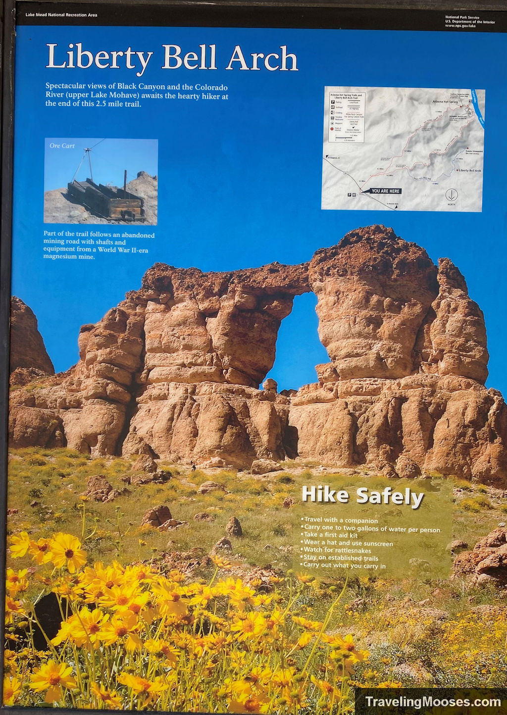
A map of the trail is available at the trailhead on the board in the parking lot area.
