Gower Gulch and Red Cathedral Hiking Stats
| Round Trip Mileage | 4.3 Miles for Gower Gulch Loop + 1.0 mile for Red Cathedral |
| Elevation Gain | 932′ |
| Average Time | 2 – 3 hours |
| Difficulty | Moderate |
| Entrance Fees | $30 for 7-Day Pass or America the Beautiful Pass |
| Rating | 5 Mooses |
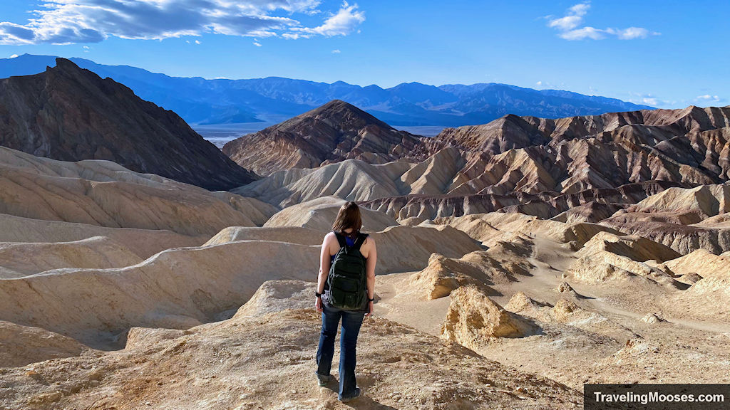
We were excited to tackle the Golden Canyon loop in Death Valley. It was on our “must do” list after researching all the eye candy in the Death Valley area. The trail does not disappoint! Rated as “moderate” due the slight scrambling near the Red Cathedral trail, the entire loop can be completed in just a few hours.
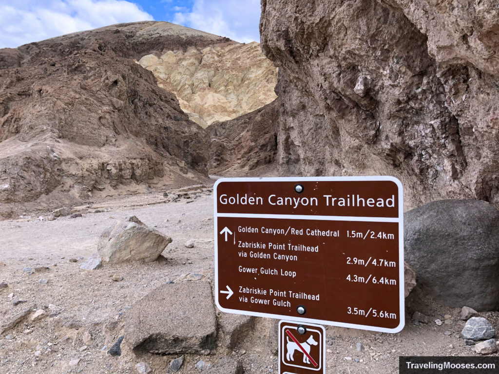
We parked at the crowded Golden Canyon Trailhead and set out to see the Red Cathedral.
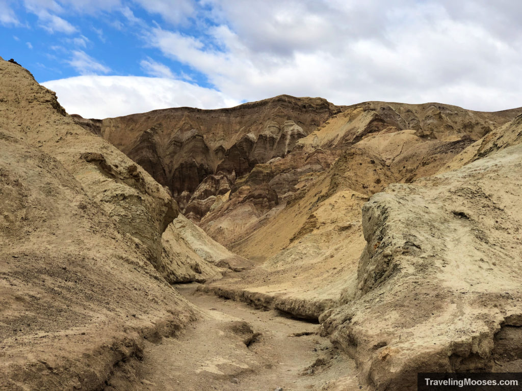
The path immediately enters into a approximatively 1 mile long trek through the towering walls of Golden Canyon. If you’re planning on doing the entire loop, be sure to turn around periodically and see the canyon from multiple angles. You’ll be met with tremendous views every which way you look. Some hikers only come to the Golden Canyon trail for this 1 mile stretch of the trail and turn around at the cutoff for Red Cathedral. This would be a mistake!
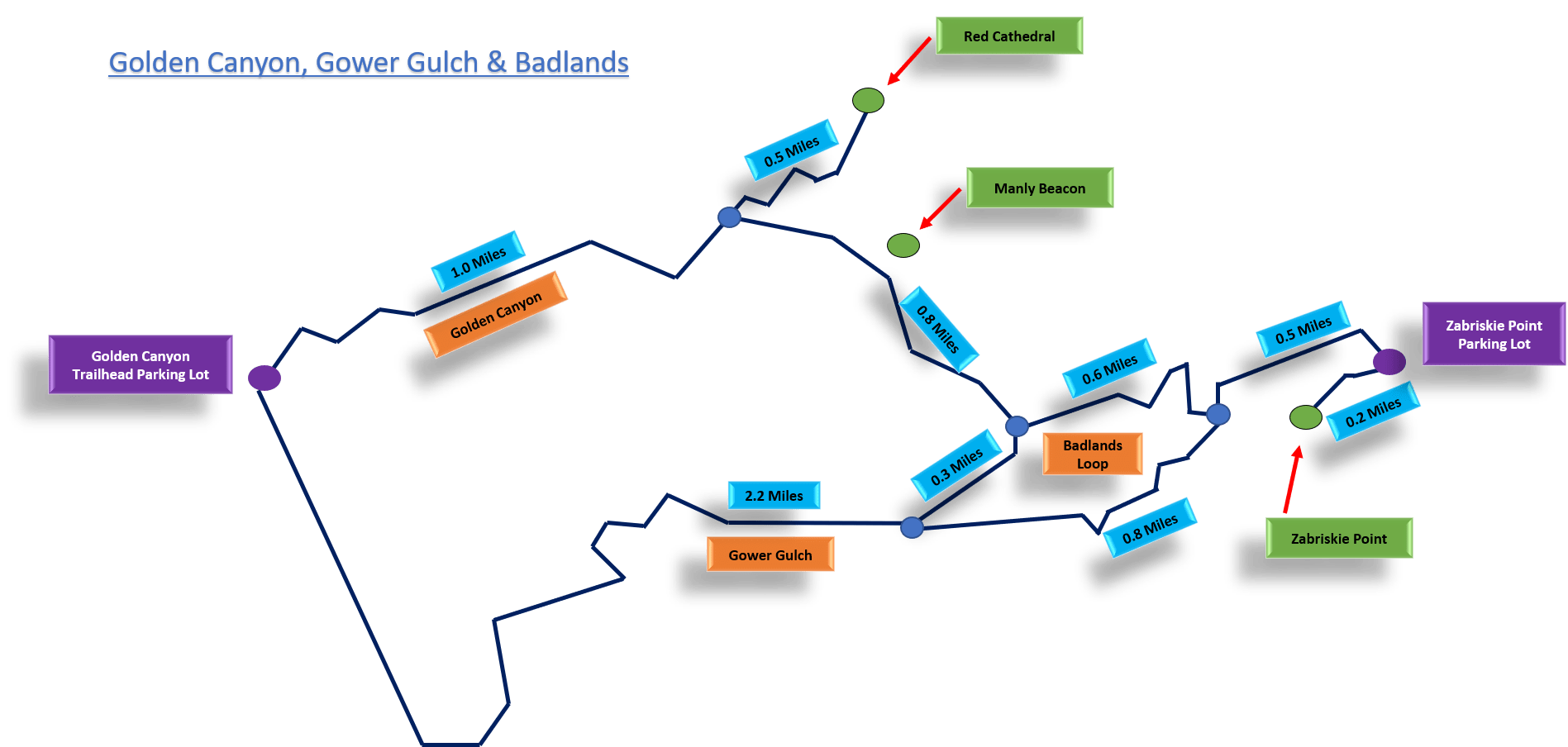
It’s worth it to go a little further to see the Red Cathedral and sweeping views from an overlook near Manly Beacon before heading back. The extra work only adds approximately. 1 mile RT to Red Cathedral and an additional 1 mile to the viewpoint near Manly Beacon and back to the original cut off.
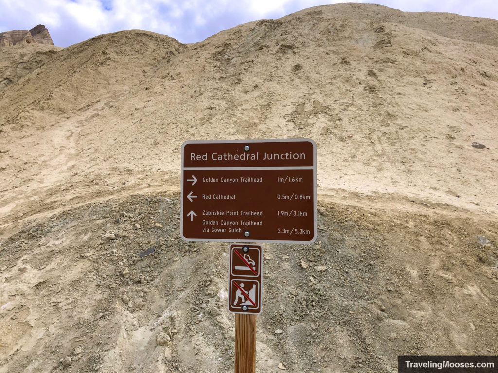
Once you reach the cutoff for the Red Cathedral, it’s only an additional 0.5 miles to reach the beautiful cathedral wall.
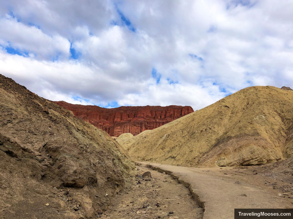
After the cutoff, the trail continues to run through the gentle golden colored hills. Nearing the wall, the trail starts to veer through some rocks you have to climb up and over. If you find yourself scrambling up very steep rocks, you’ve probably gone off the trail.
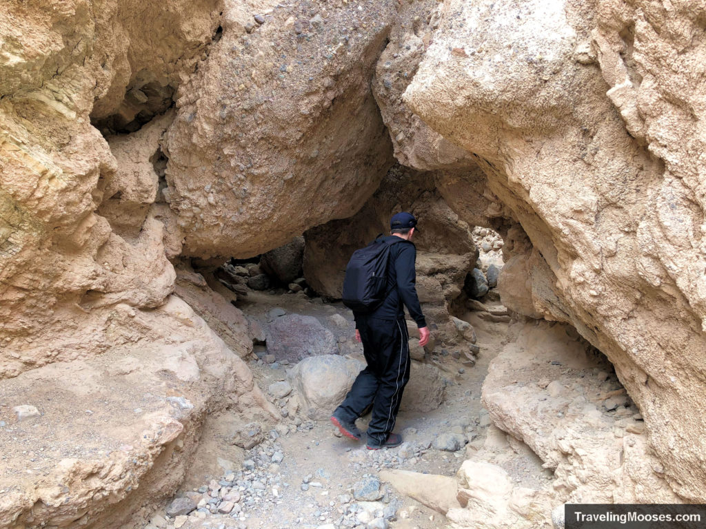
While I don’t recommend it, these hills are pretty easy to climb and we saw people all over in areas I would never go. Stick to the trail as much as possible to enjoy the trail, plus you’re not supposed to venture off the trail due to erosion.
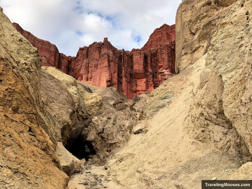
Heading to the left, you can actually climb all the way up to the Wall, or there is a nice vantage off to the right side of the path. It should be obvious once you reach the wall area as there are plenty of foot tracks leading to both sides.
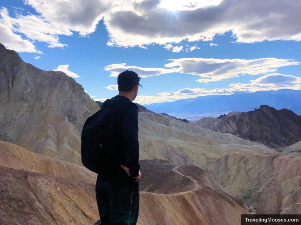
After backtracking from the Red Cathedral to the trail junction you have a couple of choices depending on how tired you are. We still felt pretty good at this point despite a long day driving from Vegas to Death Valley (around 2.5 hours), plus checking out all the other Death Valley sites.
We continued on the trail towards Manly Beacon and the remainder of the loop.
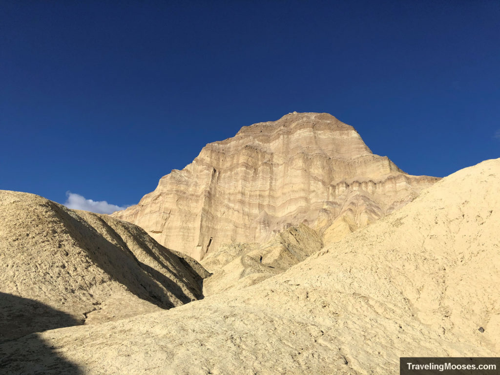
Note: It is possible to climb Manly Beacon. We looked up some pictures online and decided against it. While the view looks spectacular, the trail didn’t look particularly safe, especially for those with a fear of heights. You can checkout the blog that made us decide against it here.
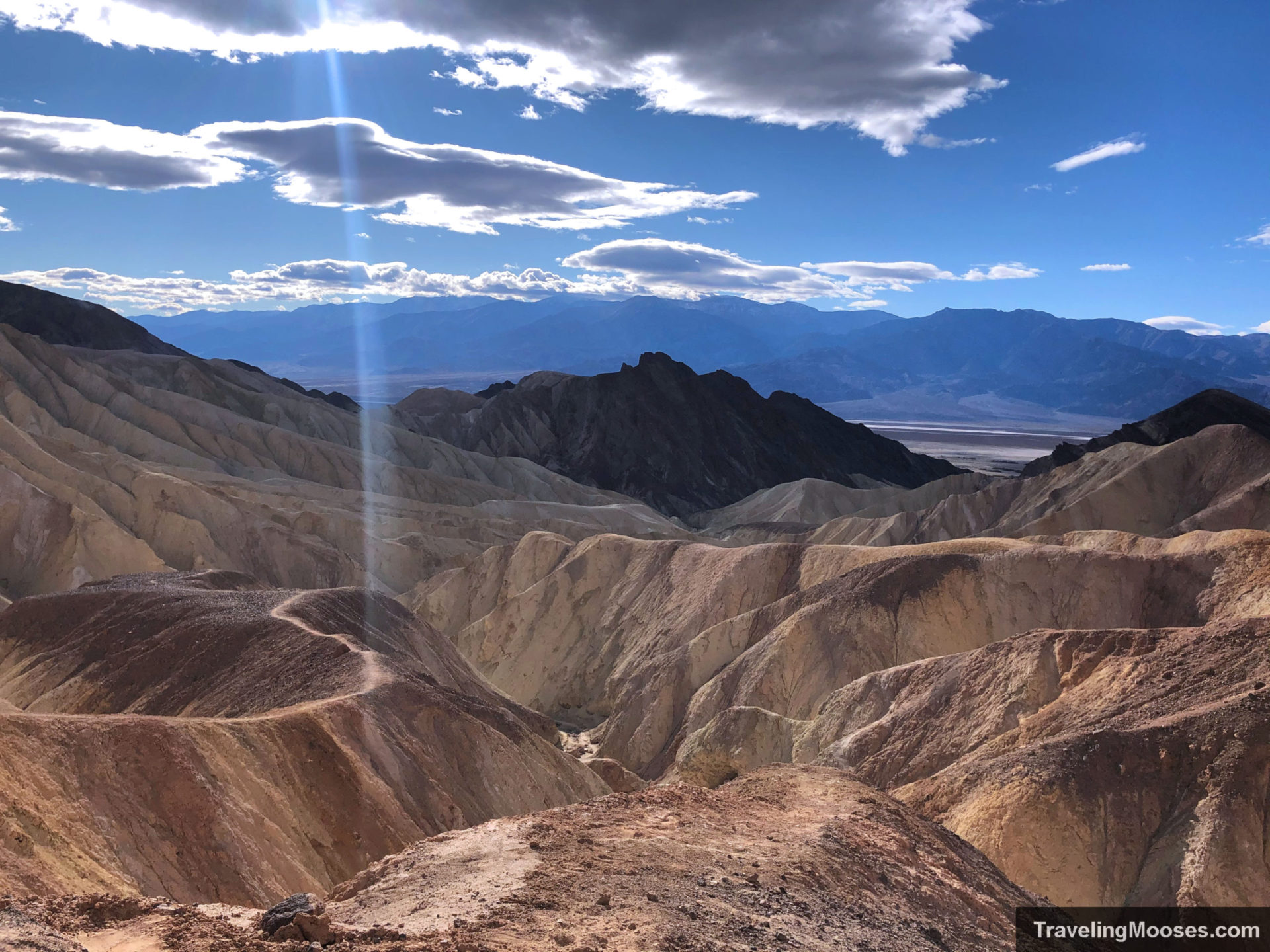
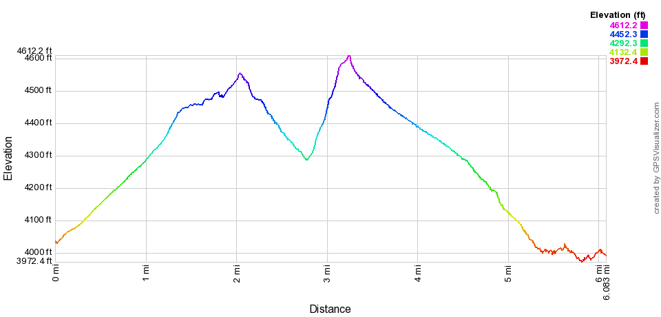
The most elevation gain on the trail comes from the junction from Golden Canyon up to the valley overlook. It’s not a lot, but in the sweltering sun it feels much worse than it is. You’ll be met with sweeping views of the valley and in our opinion the best part of the trail.
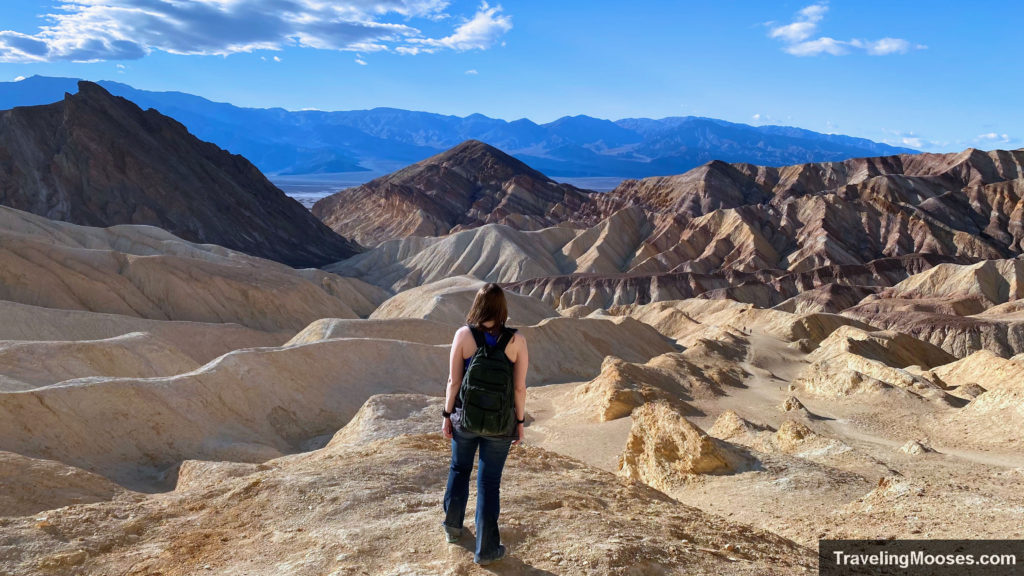
This is an excellent place to turn around and venture back to your car. You’re looking at approximately 1.4 miles back to the Golden Canyon parking lot if you turn around. If you decided to keep going, it’s approximately 2.6 miles around the remainder of the loop.
We chose to keep going to see the back part of the trail. Once you come down the highpoint near Manly Beacon, you end up in a long winding wash through more golden hills and eventually through towering cliff walls.
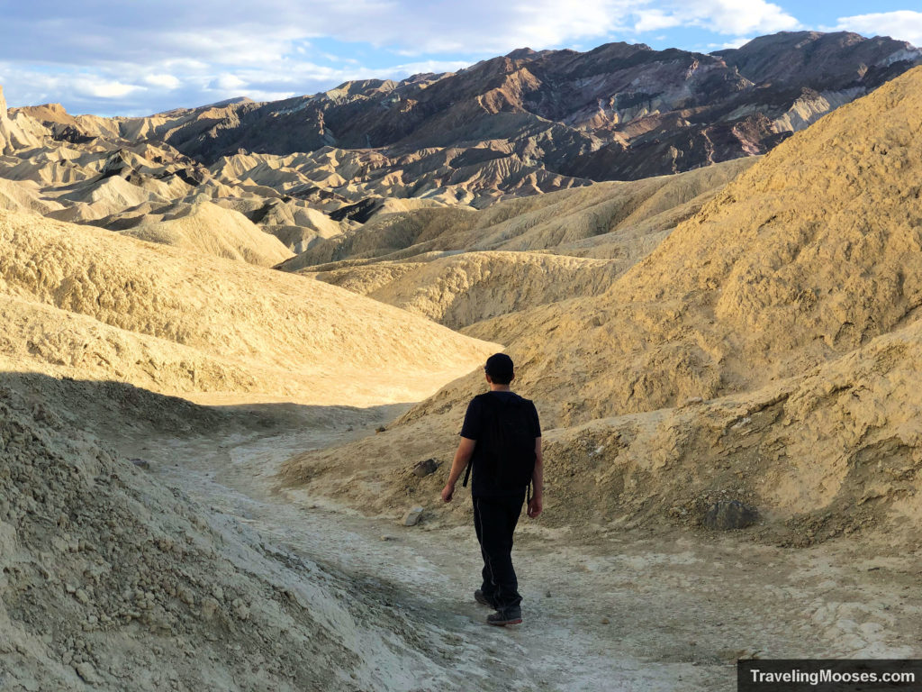
It was this area that somehow we lost the trail. Keep your eye out for brown trail markers and follow them through the wash. We joked for a good 20 minutes that we “couldn’t find the brown markers” and thought we weren’t on the right trail, before actually determining we really were off trail. Luckily it was winter and the temps weren’t that high, plus water usually travels downhill and it connected back to the main trail. It is easy to get turned around and make a mistake in rough terrain.
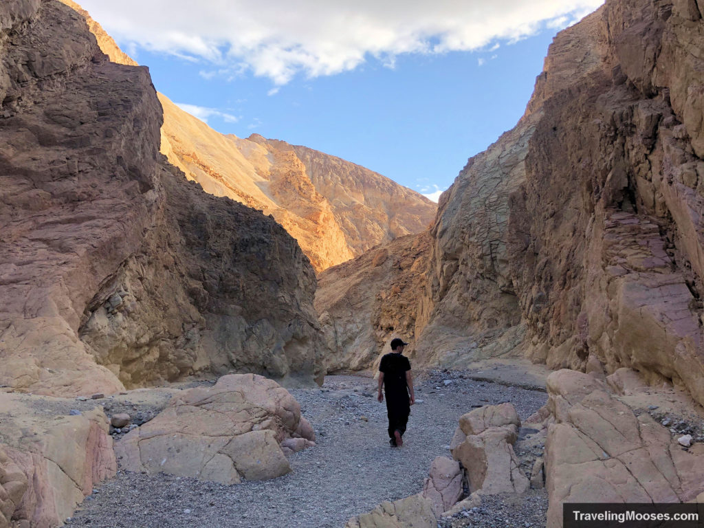
Once we found our way back to the main trail, there wasn’t another opportunity to get lost. The trail leads you through a wash (which would be very dangerous during a flash flood) and through some beautiful canyons before exiting parallel to the road (off in the distance) and back to the parking lot.
Know before you go
- The Parking lot at the Golden Canyon trailhead is super small and fills up fast. Luckily, you can park along the main road by pulling off in the gravel. We didn’t see any no parking signs along the road and there was plenty of room. This could change in the future, but for now it seems acceptable. *Note: You can also park at Zabriskie Point and access the Golden Canyon/Gower gulch loop after circling through the Badlands loop. It adds extra mileage, around an extra mile each way.
- The most scenic part of the Golden Canyon/Gower Gulch Loop is to head clockwise from the parking lot until you get to the highest elevation point near Manly Beacon. We actually recommend turning around at this point and heading back the way you came (especially if you’re short on time), as the back part of the loop wasn’t as scenic and seemed to drag on.
- Dogs are not allowed on trails in Death Valley (even on a leash). This restriction applies to the boardwalks at Badwater and paved trails. That doesn’t stop a lot of dog owners from bringing along their pooch anyway.
- You’ll need a lot of water. When we were there, the air temperature was around 75 in the winter and it felt HOT. Something about the lack of shade and sun soaking into the field of rocks made it seem worse than it probably was. Bring more water than you think you’ll need along with sunscreen, and a hat. Be sure to tell someone where you’re going. The desert is no joke and takes many lives every year. It is unknown how many have died in the park, but this article highlights some of the dangers. Be smart and stay safe.
Visit or Skip?
Rating: 5 Mooses
The Golden Canyon / Gower Gulch loop is one of the most popular trails in Death Valley for a reason. There are canyons to explore, unique rock formations and sweeping views of the valley. We were certainly not disappointed in the outing. To maximize your time in the park (provided you tried to pack in as much as possible in your visit as we did), we recommend turning around at or near Manly Beacon. We would visit again if we were in the area!
Verdict: Don’t miss this one!
Frequently Asked Questions about Golden Canyon, Gower Gulch and Red Cathedral
Is there a fee to visit Gower Gulch?
Yes – Death Valley is a National Park and requires either a day use permit or an America the Beautiful Pass for entrance. In 2021, the fee is $30 for a 7-day pass or $80 for an Annual pass. You can find out more information on the pass at the nps.gov website or just buy one directly here.
Where can I find a map of the Golden Canyon, Gower Gulch & Badlands trail?
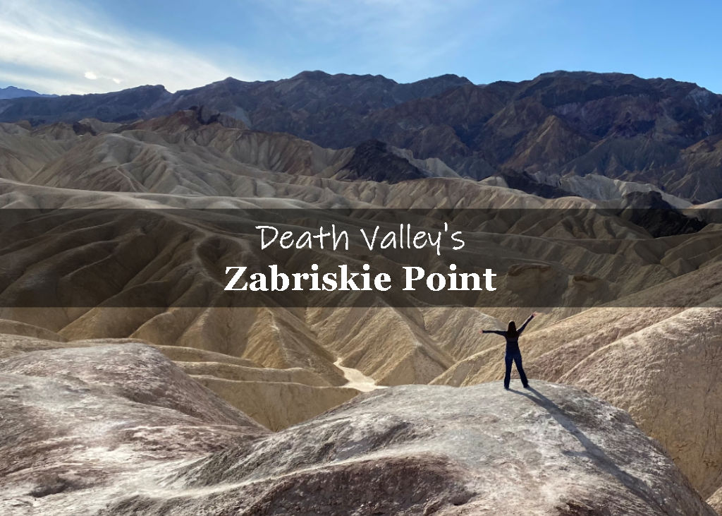
The best map I’ve found of the Gower Gulch loop is on the nps.gov website, which can be found here. There are actually two parking lots you can use to reach this incredible trail, either from the Golden Canyon Trailhead or from the Zabriskie Point parking lot.
What is the weather like during the summer in Gower Gulch?
Temperatures in Death Valley average around 116 degrees in July, which is the hottest month. The highest temperature ever recorded in Death Valley was 134 degrees! (Before you get any ideas, Death Valley has cracked down on frying eggs in the hot sun.)
With soaring temperatures in the summer, ample water and preparation is needed to stay safe in the relentless sun. Think twice before going out in the summer, it just might kill you.

