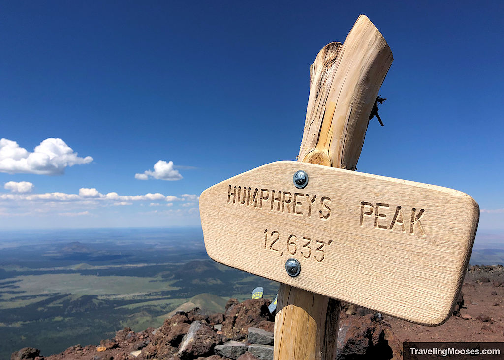
Humphreys Peak Trail (No. 151) is a steep mountain trail that takes hikers to the highest point in all of Arizona. Located next to the Snowbowl Resort near Flagstaff, Arizona, hikers will be awed by sweeping views, seasonal wildflowers, an optional visit to the site of a B-24 Bomber plane crash, and bragging rights for summiting the 12,633’ dormant volcano.
In this guide:
- Humphreys Peak trail stats
- History of Humphreys Peak
- B-24 Bomber plane crash
- What to expect on the trail
- Is the trail worth it?
- Practical information for your hike
- Know before you go
- Current trail conditions
- What to bring
- Parking
- Entrance fees
- How to get to the trailhead
- Trail maps
- Trailhead amenities
- Trail rules
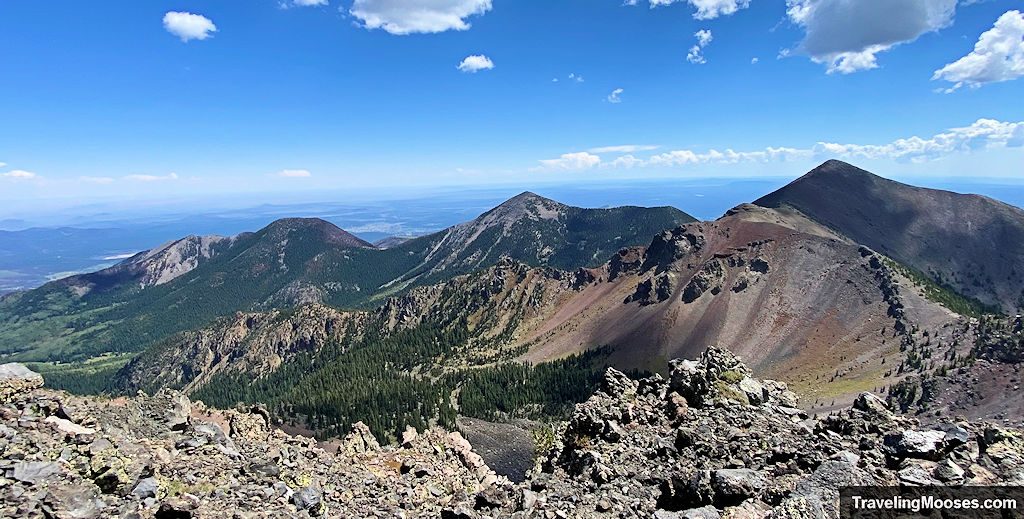
Humphreys Peak Trail Stats
| Trail Description | Out and back |
| Location | Humphreys Peak |
| Parking Lot | Humphreys Peak Trail Parking, Base Lot 1, Arizona Snowbowl, Flagstaff, AZ, 86001 |
| Round Trip Mileage | The mileage varied on this hike depending on the source. 9.6 Miles – Official Sign Marker 10.7 Miles – Alltrails distance 11.45 Miles – Garmin (our experience) 10-11 Miles – USDA Forest Service *Add approximately 1.0-mile round trip if viewing the plane crash. |
| Average Time | ~7 Hours *It took us 9.5 hours including time for snacks and the side trip to the plane crash site. |
| Difficulty | Rated as: Strenuous The trail is considered strenuous/difficult. We agree this is a very difficult trail. The length, elevation gain, max elevation and terrain require a good level of fitness. |
| Elevation Gain | ~3,350 feet (+250 for the plane crash) |
| Elevation Start | ~9,278 (Source) |
| Elevation Max | ~12,633 feet |
| Best time to visit | June through October. The mountain is open year-round however, conditions during winter can be treacherous and we do not recommend it. Be sure to check the weather forecast before you go. |
| Amenities at the Trailhead | Parking, trail map / information board, primitive bathrooms. |
| Entrance Fee | None |
| Rating | 4.0 Mooses |
History of Humphreys Peak
Humphreys Peak (12,633’) is located ten miles north of Flagstaff, AZ and is the highest mountain in the state.
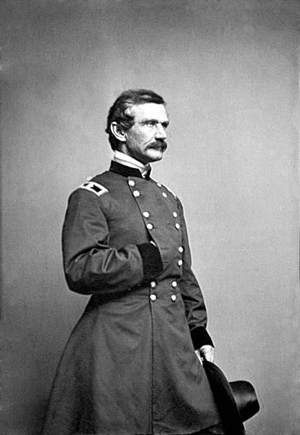
The peak was named after General Andrew Atkinson Humphreys in 1871. General Humphreys served as a captain with the Ives Expedition in 1851 whose mission was to locate and evaluate routes for railroads and wagon trails in the area. General Humphreys later served as the Chief of Army Corps of Topographical Engineers.
B-24 Bomber Plane Crash
On September 15, 1944, at approximately 3:30 a.m., a TB-24J WWII Plane (aka B-24) crashed into the lower west side of Humphreys Peak (approximately 11,000 feet), instantly killing eight US serviceman. The plane was on a training mission en route from Bakersfield, California to Kirtland Field, New Mexico when poor conditions led those on board to miscalculate where they were by almost 15 miles north of the airfield.
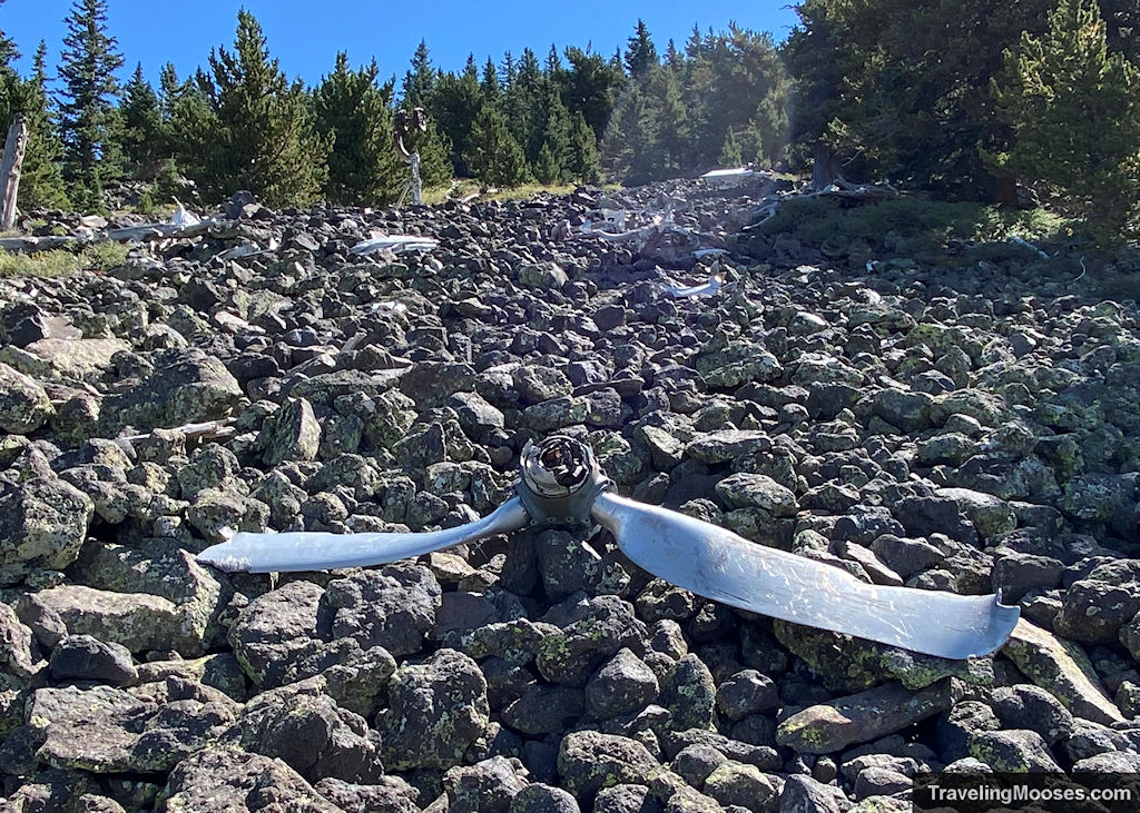
The plane crashed on the west side of Humphreys Peak and the wreckage can still be seen today.
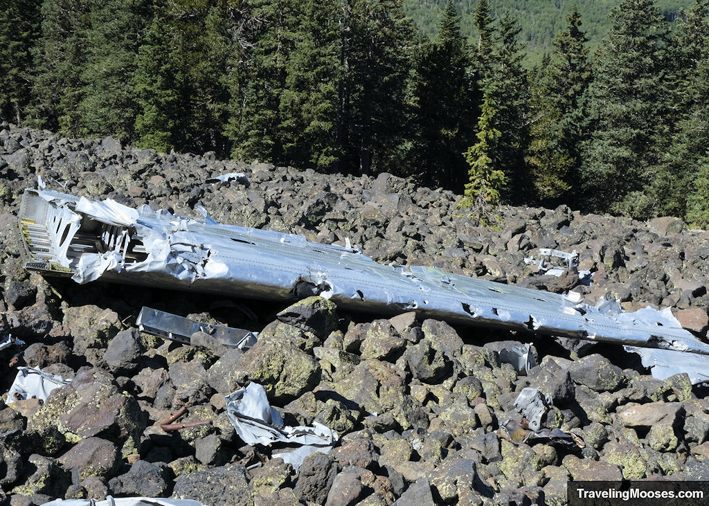
The path to the plane crash site is not developed nor intuitive and we highly suggest downloading Alltrails if you want to find it.
What to expect along the Humphreys Peak trail (our experience)
During the summer months, the threat of monsoons is a real danger and this leads to most hikers getting an early start. We monitored the forecast leading up to our hike and were expecting near perfect conditions. It was forecasted to be mid-70s as a high at the base and around 20 degrees cooler on the summit.
Tip: If monsoons are forecasted, either reschedule for another day or be sure to be off the mountain well in advance of the storm. It is treacherous on the summit and you would not want to be caught up there in a storm. Regardless of the forecast, be prepared with appropriate gear as conditions can change suddenly and without warning.
We arrived at the trailhead just after 8 a.m.
After snagging a spot in the large parking area, we checked out the trailhead information signboards and started off on our journey.
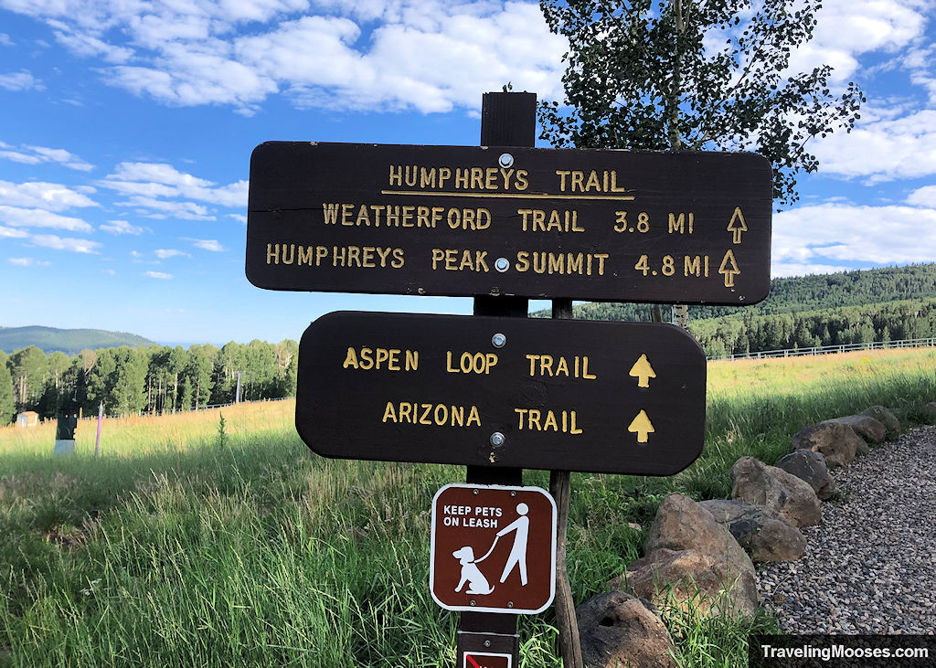
We did notice a board that included a weather forecast; however, we don’t believe it was updated the day we visited. The QR code on the sign-board does take you to a forecast for the summit or you can check out the link here.
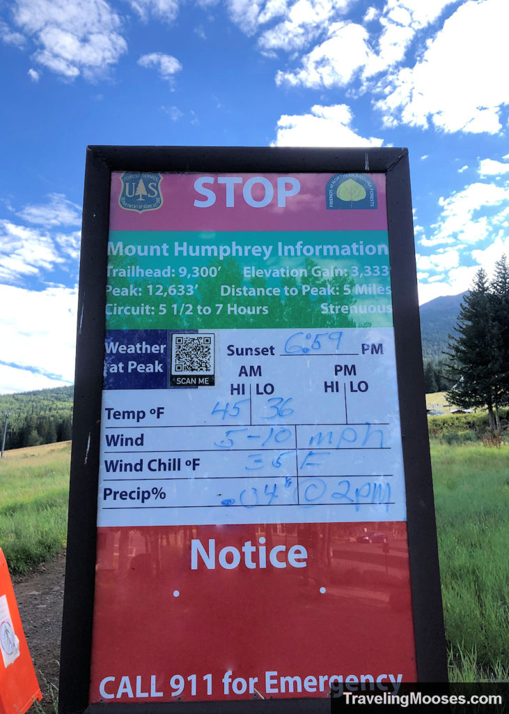
The trail begins on a wide gravel path through a meadow and past several ski chairlifts. In the summer, you’ll find a variety of wildflowers, unique foliage and wildlife (mostly birds) throughout the meadow area.
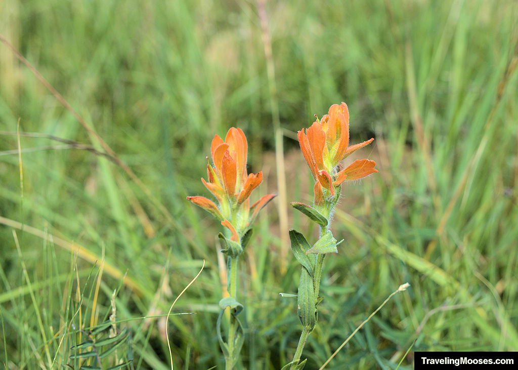
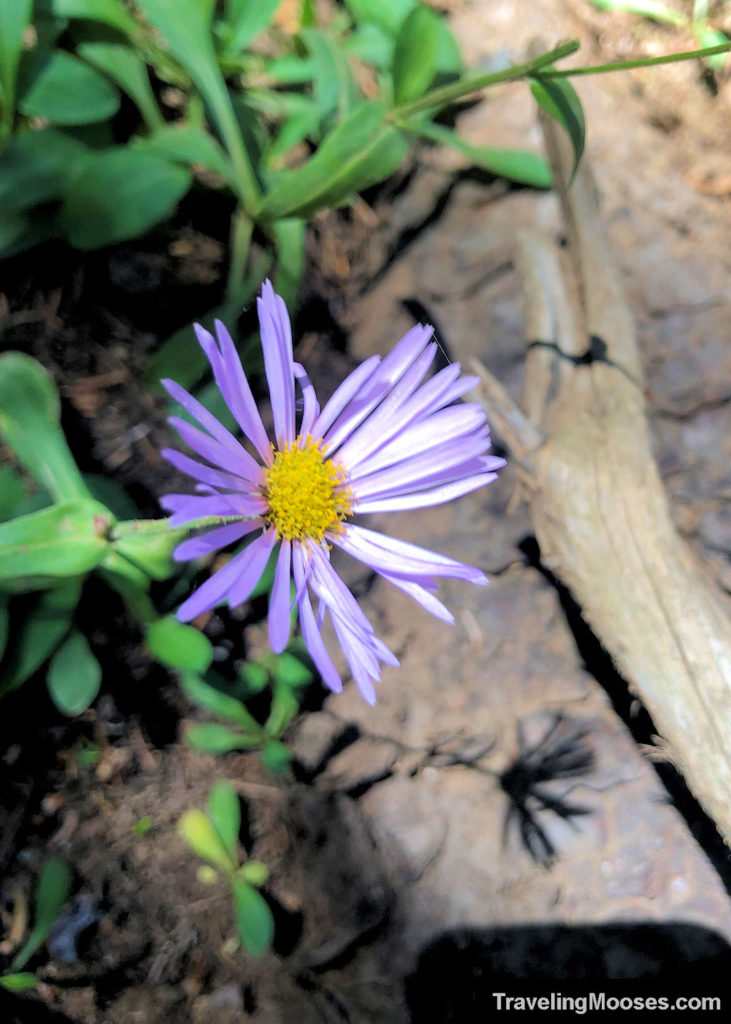
A short distance up the trail, there is a split to the left which takes hikers to the Aspen Loop Trail. We highly recommend checking out that trail on another day as we enjoyed it.
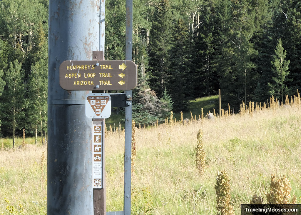
Keep to the right to remain on Humphreys trail and head straight towards the wooded area in front of you.
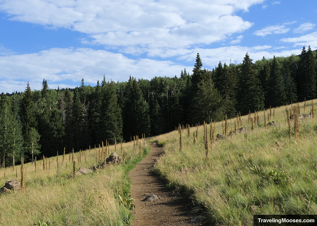
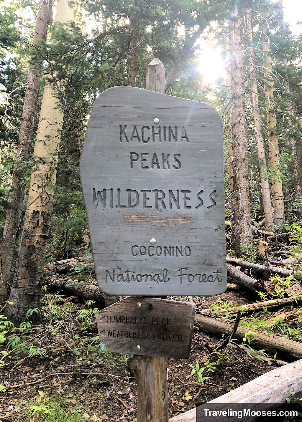
The wooded area marks the boundary of the Kachina Peaks Wilderness area and begins the steady uphill climb to the summit of Humphreys Peak.
The next three miles of the trail are filled with long switch backs, towering aspen trees, hungry squirrels, and the occasional wild mushroom.
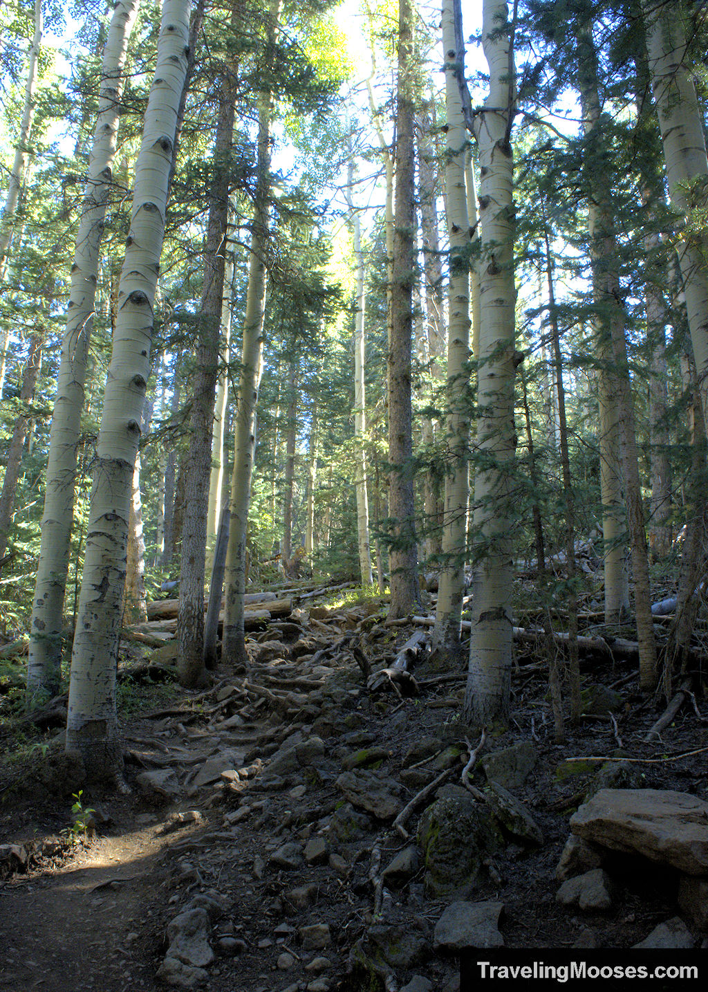

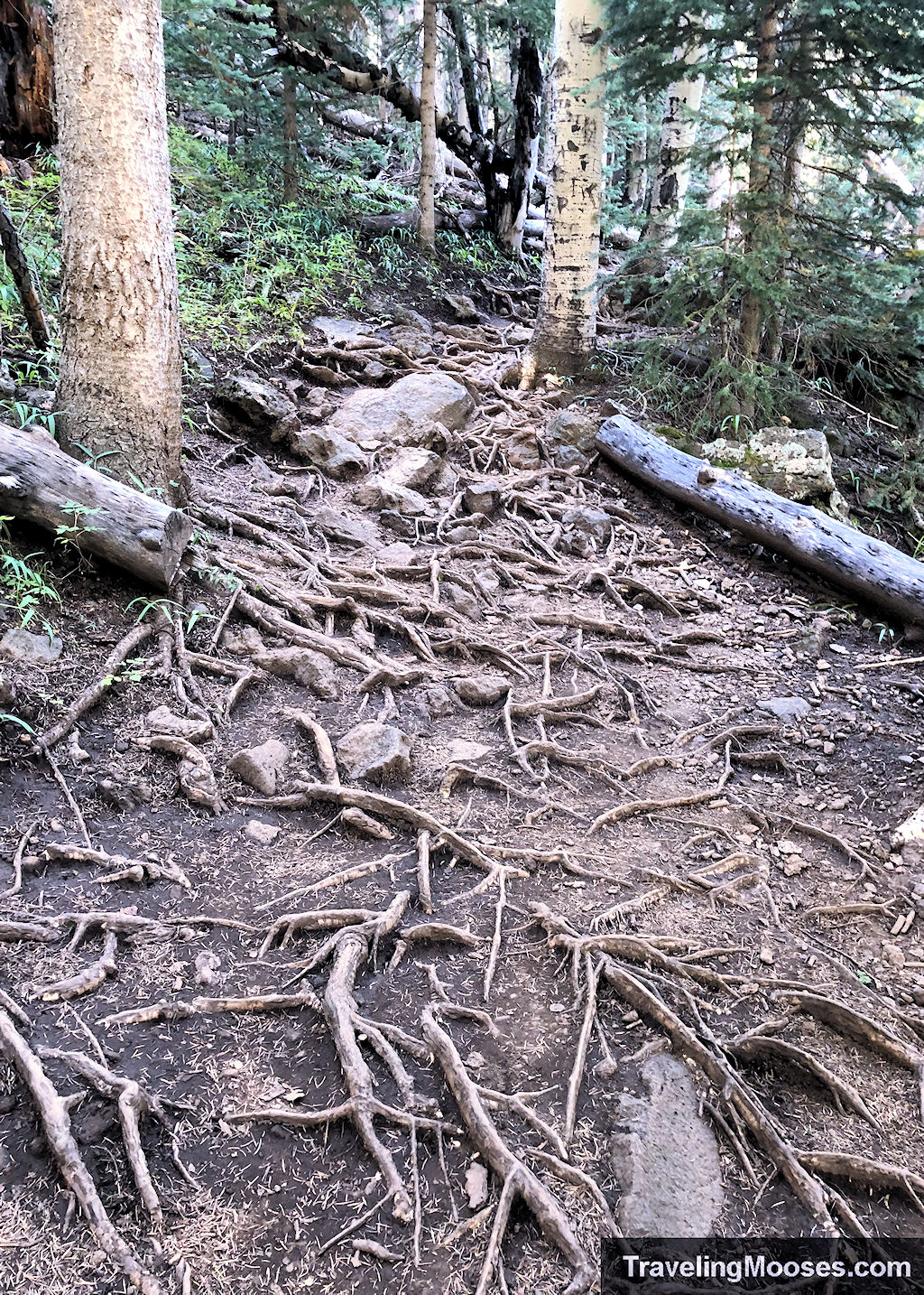
The trail itself is rough with overgrown roots and rocks in many places. This makes moving quickly (especially on the way down) more challenging.
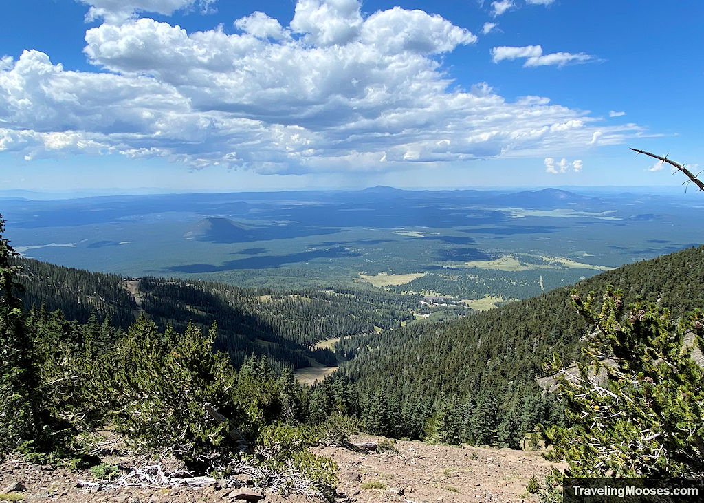
The majority (if not all) of the first 3 miles are in shade. The trees are tall and unless the sun is directly overhead, you’ll be in shadow until you reach the saddle. There are a few breaks along the trail that give a glimpse of the epic views to come.
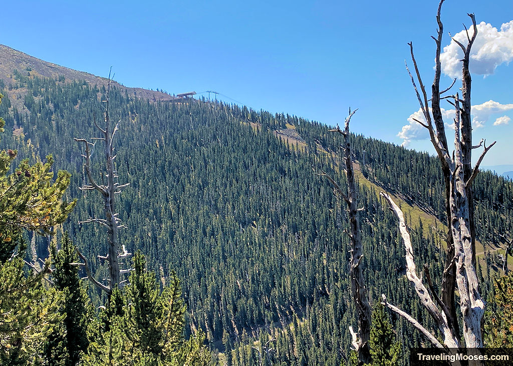
As the elevation gain continues, you’ll notice the Snowbowl Scenic Gondola off to your right. It’s fun to keep track of your progress as you wander up the trail to get an approximate amount of the elevation you’ve covered. The top of the gondola is located at 11,500’.
Within the first three miles, you’ll encounter multiple switchbacks. At the seventh switchback you’ll find the point to wander off the trail in search of the B-24 plane crash site. There is no clear path to reach the wreckage. We would have went right by the turnoff if we weren’t looking for it.
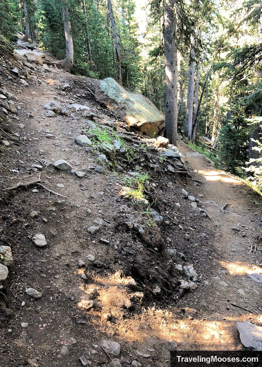
There’s too much to cover to find the plane crash in this article, but we’ll publish another article soon on how to get there. We do recommend searching for the plane crash on a separate day from summitting the peak unless you’re ready for a long and hard day of hiking.
Related: Read our experience finding the B-24 plane crash
As we continued up the switchbacks heading to the saddle area, somehow we ended up going off trail.
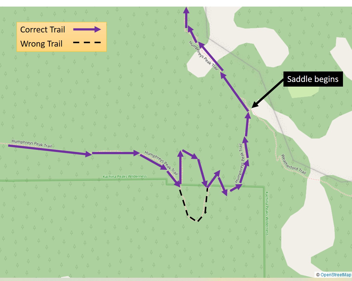
Although we figured it out pretty quickly that we were no longer on the official path, given that we hate backtracking, we decided to keep going. This was reinforced as on the Alltrails app, there is a faint line that looks like an alternate trail.
*The plant is circled in the photos below for reference only.
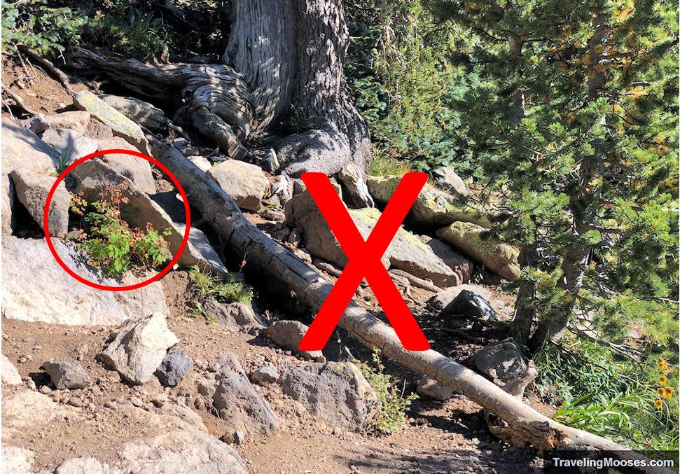
We believe it was probably the old path to get to the summit. It was passable, but not recommended. This part of the trail was rough, steep and not always clear. The good news is that coming down, we had to look hard to figure out where we had gone off trail. It would be difficult to make the same mistake on the way back down.
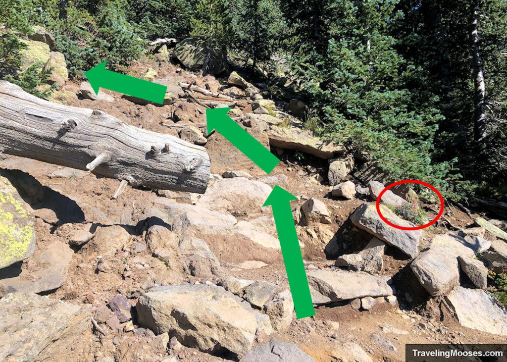
Yes, we stepped over the small log to continue down the path. Neither of us saw the trail continue past the large log to our left. On the bright side, we did get see a large squirrel carrying off what to looked to be a giant mushroom. ¯\_(ツ)_/¯ This is also another shameless plug for bringing safety gear and paying attention when you’re hiking, even on established trails.
Back on the main trail, the trees were beginning to thin out and we finally reached the saddle area. Only one more mile to go!
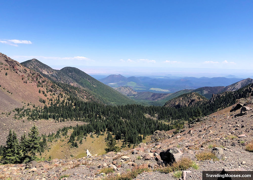
Unless you’re excited about pushing to the summit, this is a great place to turn around. The views don’t change that much and the terrain on the last mile is extremely rough.
But…we came to make the summit, and though we were tired after the plane crash detour, we carried on.
Before leaving the saddle, we took another look at Agassiz Peak and noticed we were well above the top of Snowbowl Scenic Gondola.
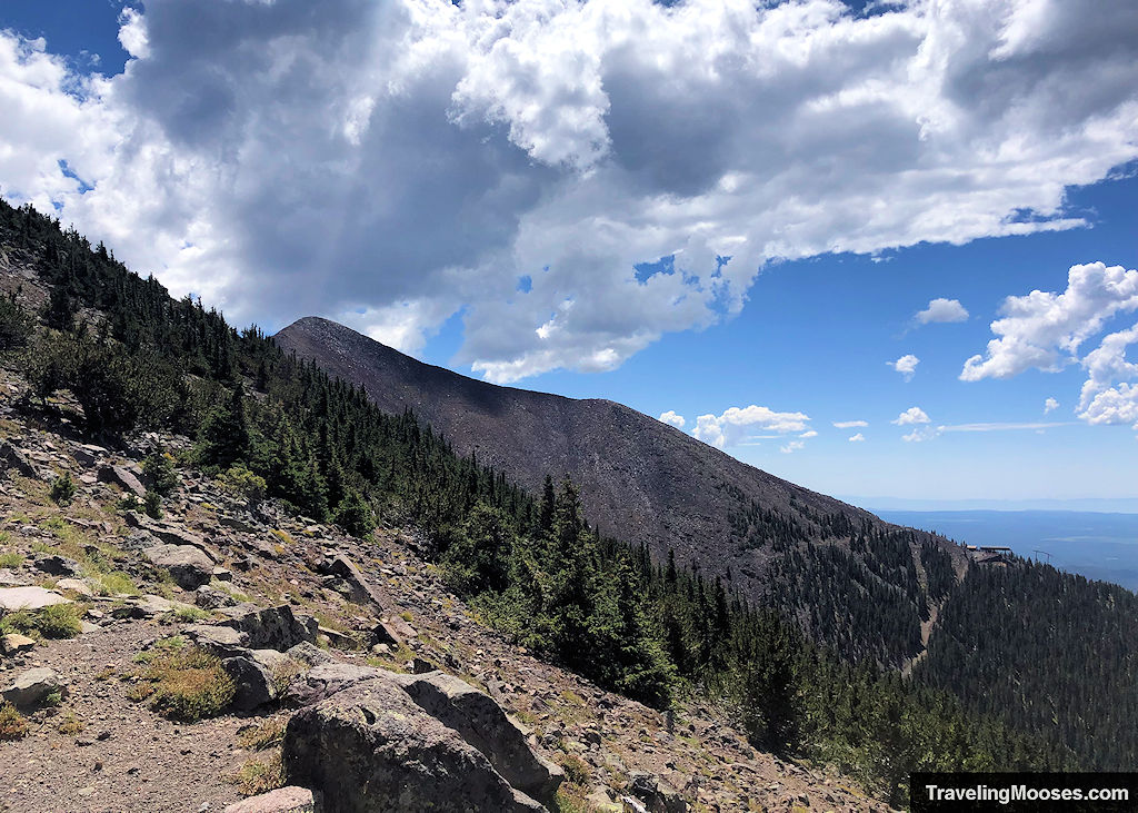
At this point, we knew the terrain would change and we were also warned about the multiple false summits ahead.
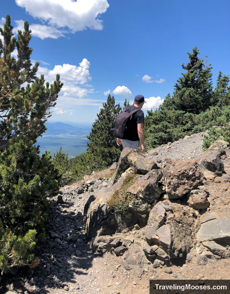
Even knowing about them, it’s not enough to stop the dismayed feeling when you run into them.
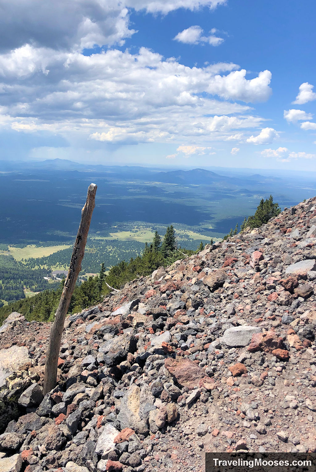
The terrain quickly turns to a rock field and the trail becomes less of a defined path. Along the way you’ll find long stick markers showing the way forward. We used Alltrails a few times to make sure we were on the correct path.
I don’t know how anyone makes it up in the winter as the entire hillside would be covered in snow.
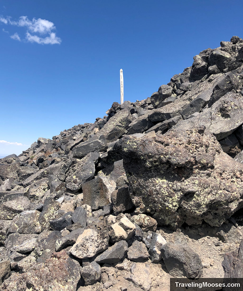
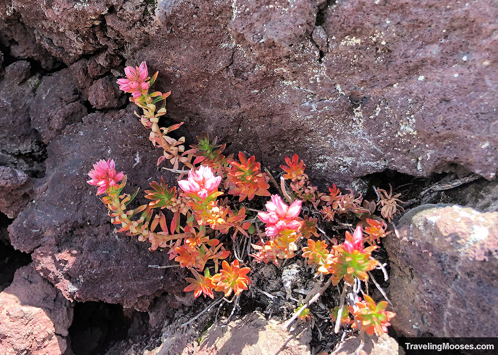
We were surprised to see a few wildflowers growing on exposed rock above the tree line.
Continuing on, we stopped to rest multiple times along this section. Between the rocky trail and the elevation, it was slow going.
In the distance of the photo below, you can see the second false summit.
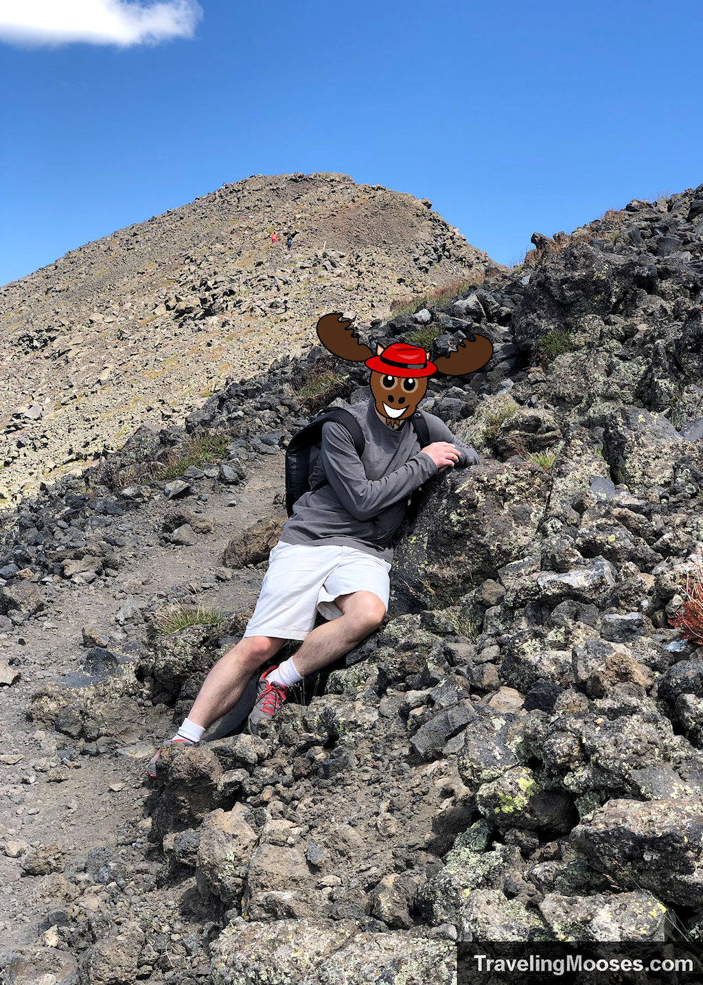
After cresting another hill, we could finally see off in the distance what we believed to be the final hill and our ultimate goal.
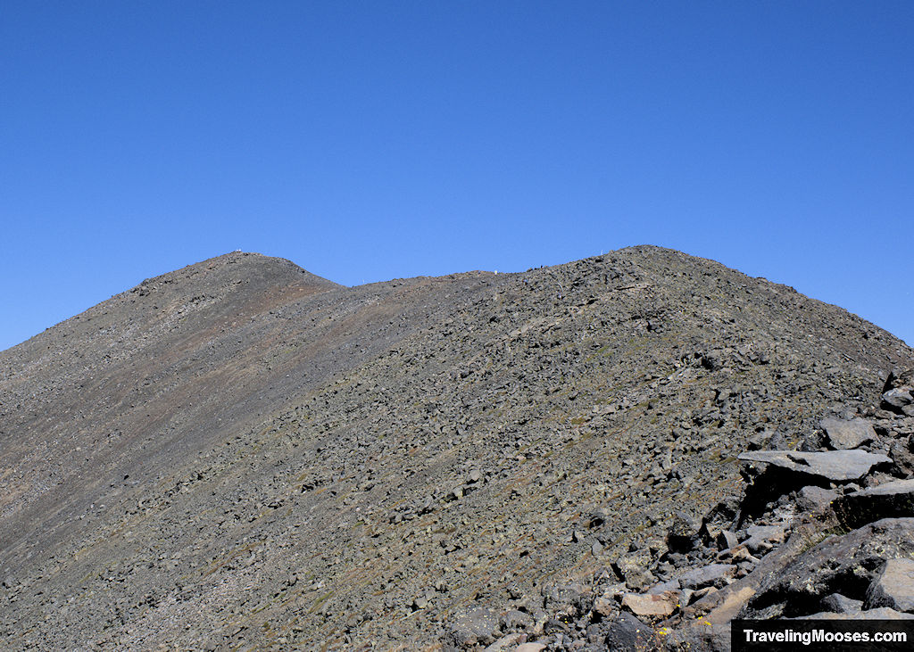
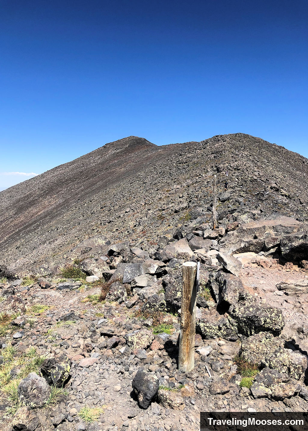
Nearing the summit, there was one last hill to conquer.
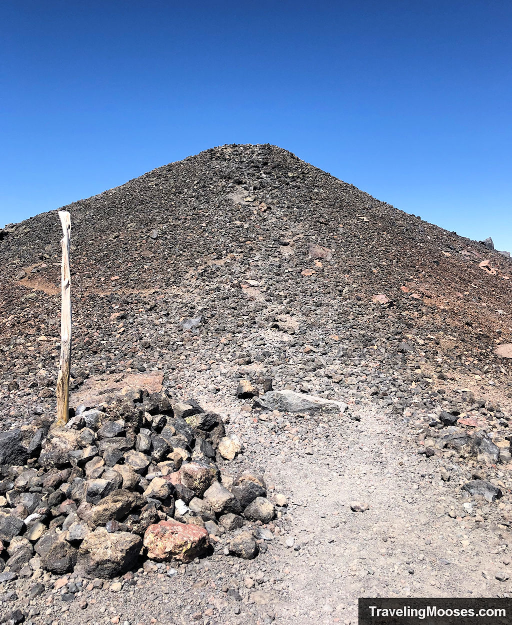
We finally made it to the top!
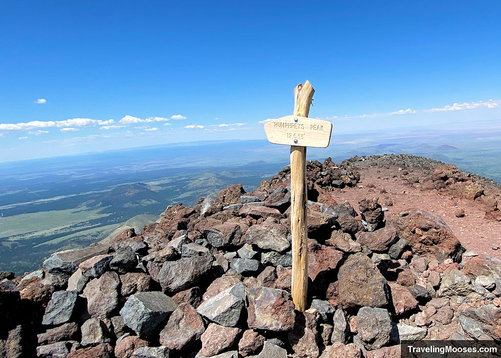
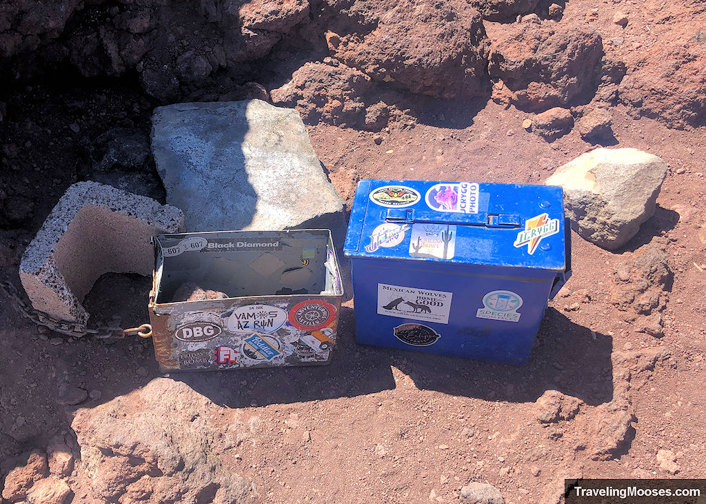
The views were amazing.
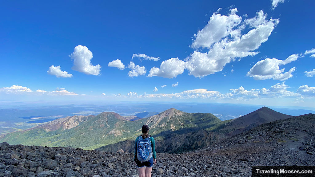

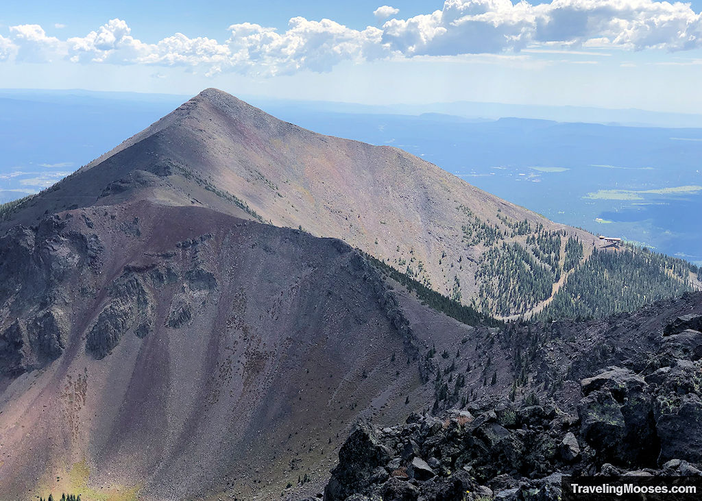
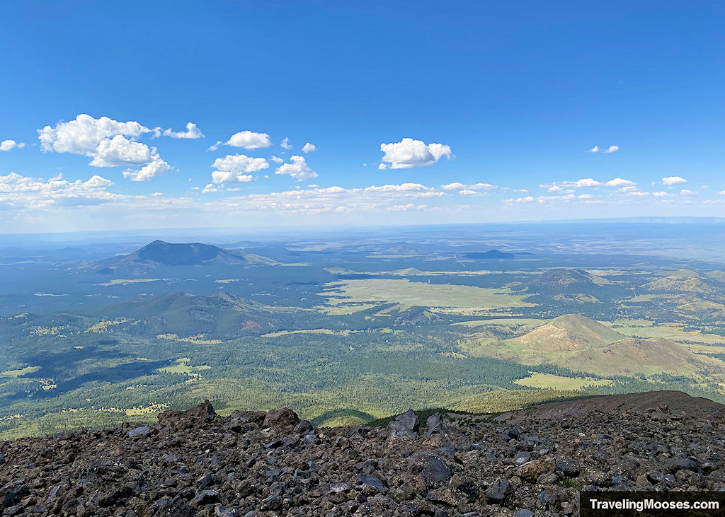
After enjoying some well-deserved snacks, we started the long journey back down the mountain and happened to see a giant raven near the summit.
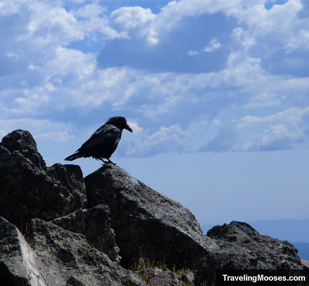
Watch your footing on the way down as the rocks can be slick.
Is hiking Humphreys Peak Trail worth it?
Rating: 4.0 Mooses

This was a tough hike for us. I’ll admit, we may not be in the best shape, but the difficult terrain in the last mile was challenging. Despite that, we enjoyed the hike.
What we liked:
- The trail starts in a beautiful meadow and when we were there it was filled with wildflowers and wildlife.
- On hot days, the first 3 miles of the trail are entirely within trees which keeps the temperatures down.
- The views on the first saddle you come to are amazing. This would be a great place to turn around if you’re not feeling the summit.
What we didn’t like:
- The last mile of the hike is exposed to the elements above the tree line and the trail requires navigating over sharp rocks.
- There are several false summits on the final push to the summit. This can be demoralizing.
Verdict: We’re glad we hiked it, but this was a once and done activity for us. If we ever were to return, we’d stop at the first saddle and then head back down. The views didn’t change much from the saddle area, so unless you want to stand on the summit it doesn’t make sense to keep going. We’d also explore the plane crash on another visit. It was a difficult add-on to the day.
Practical Information for your Hike
Know before you go:
- The elevation of this hike is no joke. The air is thinner and some hikers may experience altitude sickness.
- Know your limits and when to turn around, especially if you experience adverse weather conditions.
- Bring sturdy shoes with a good grip on the bottom. The ground is uneven, especially on the last mile of the trail.
- We did not have trekking poles with us, but I think it would have been helpful.
- Bring more water than you think you’ll need.
Current Trail Conditions
- Check Alltrails for recent trail conditions.
- Check Snowbowl (elevation 9,500’) for current conditions at the mountain base including road conditions to parking area.
- Check Mountain Forecast for the weather forecast. (We used mountain-forecast.com for our weather report and found it to be accurate the day we visited. It is also the official website the trail recommends when you start the trail. They have a QR code that takes you straight to the website).
What to bring
Be sure to check the weather conditions and pack appropriately. This is what we brought for this hike:
Standard Gear:
- The 10 Essentials. These are a must for us on every hike.
Special Items of note:
- Hiking Boots or closed toe shoes – There were a lot of rocks on the trail. We recommend wearing shoes with a good grip on them, especially if you plan on taking the side trip to the B-24 plane crash.
- Clothing – Be sure to bring appropriate clothing for rapidly changing conditions on the mountain. Weather can change extremely fast, especially during monsoon season.
- Water / Snacks – The weather was perfect the day we visited with a forecast of 75 degrees at the Snowbowl base area and temperatures at the summit around 10-15 cooler. We were on the mountain over 9 hours and used close to 100 oz of water each. It is recommended to bring a gallon of water per person (128 oz). Keep in mind that when hiking at higher altitudes you generally need more water than normal. Bring extra snacks!
- Navigation – We used Alltrails for navigation, and we’re glad we did. Not only did it help us find the plane crash, but we also managed to get off trail at one point. Alltrails helped us get back to the correct path.
Parking at Humphreys Peak Trailhead
The Humphreys Peak trailhead parking area is located at Lot 1 at the base of the Snowbowl Ski Resort. It is the first parking area you come to as you’re traveling up N Snow Bowl Rd and will be on your left. The lot is extremely large and we had no trouble finding parking.
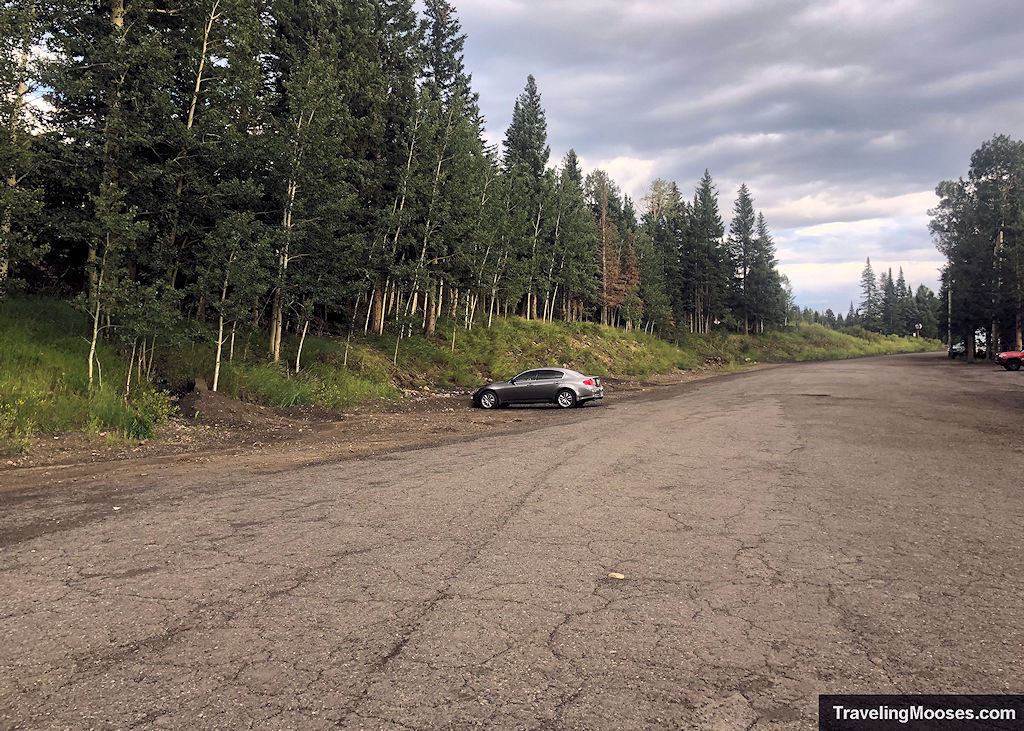
Parking Lot 1 also doubles as the beginning of the Aspen Loop Trail if you’re short on time or looking for an easier hike.
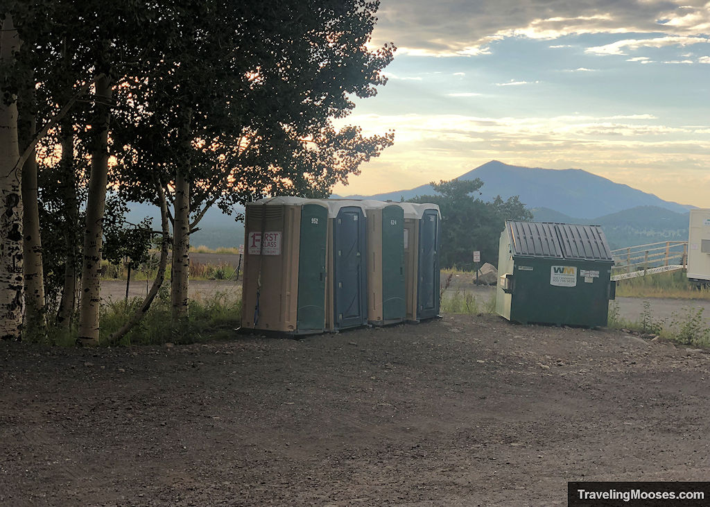
The parking lot contains an informational sign board, primitive restrooms, trash receptacle and a weather report for Humphreys summit. Keep in mind, the weather report at the base of the trail didn’t match what we saw in the forecast the day we hiked. We’re not sure if they maintain the signboard regularly or not.
Entrance Fees
There are no fees during the summer months to park at the Snowbowl parking areas.
Getting to Humphreys Peak Trailhead
Location: Humphreys Peak Trail Parking
From Flagstaff:
- Drive north on: N Humphreys St.
- Turn Left on US-180 West / W Colombus Ave / N Fort Valley Rd
- After 6.6 miles, turn Right onto N Snow Bowl Road
- Follow for another 6.5 miles
- Turn Left into parking lot 1 for Humphreys Peak Trailhead
Trail Maps
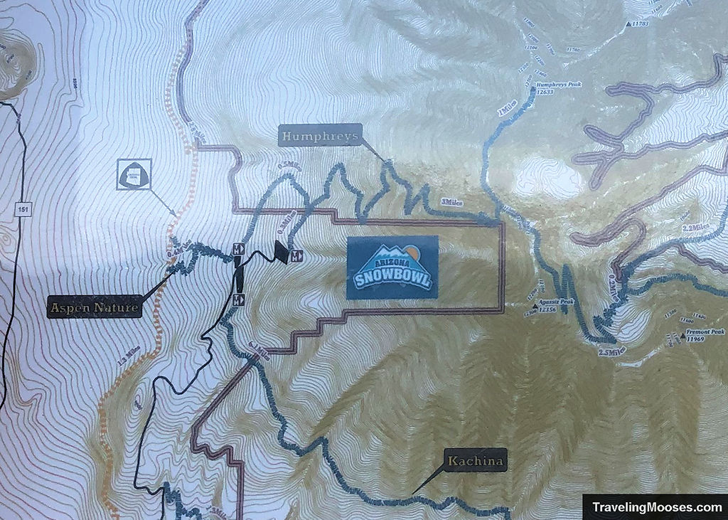
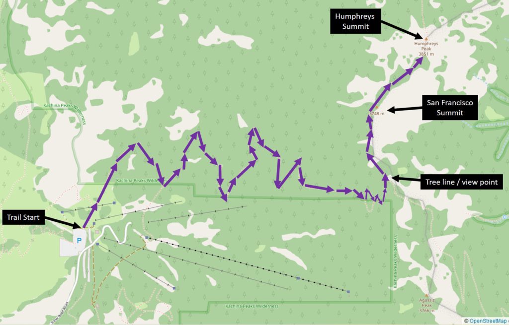
Are dogs allowed on the trail?
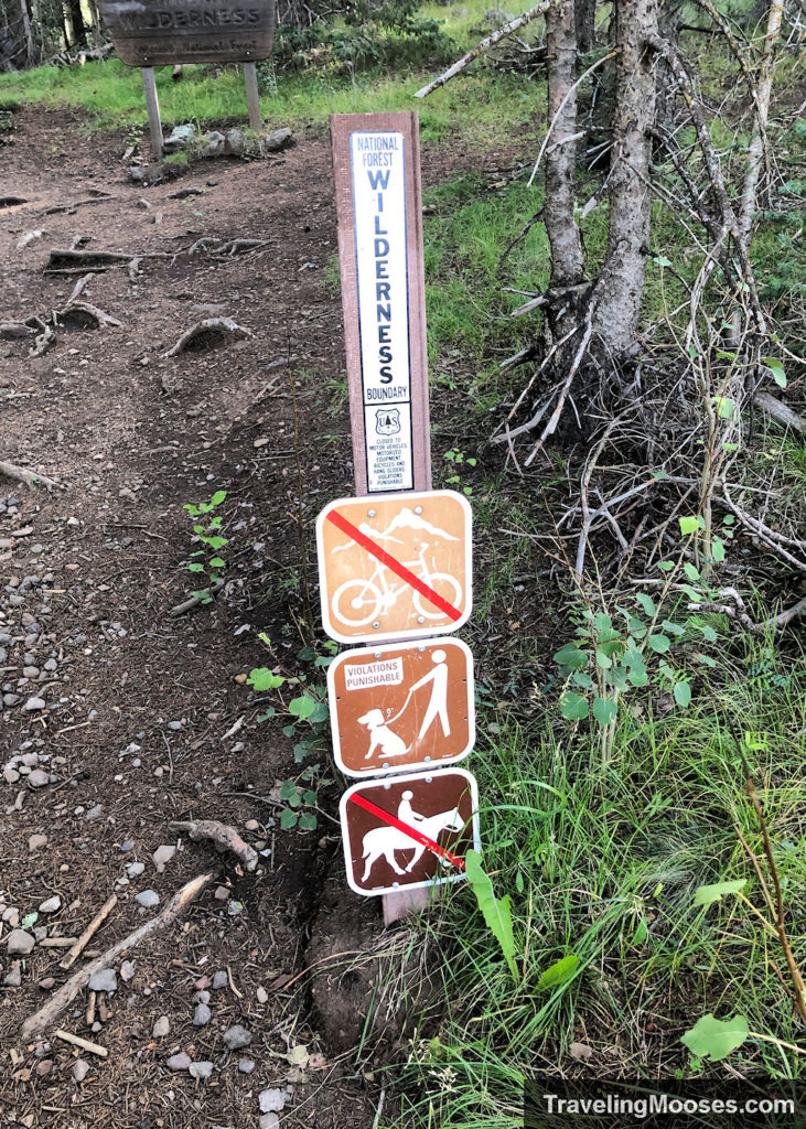
Yes, dogs are allowed on the trail with a leash. We only saw a couple of dogs on our way up and some were leashed and some were not.
Humphreys Peak Trailhead Amenities
- Parking area in a gravel lot, well-marked
- Trail Information and trail map
- Primitive Restrooms
- Trash Receptacle
Humphreys Peak Trail Rules / Regulations & Warnings
The Kachina Peaks Wilderness area which includes the Humphreys Peak trail had a lot of information and warnings.
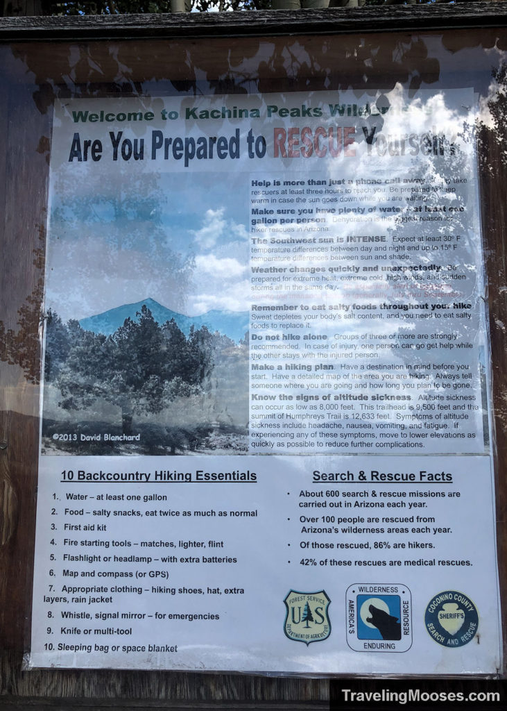
It was difficult to get a clear picture of the warnings, so I’ve included them below.
- Help is more than just a phone call away. It may take rescuers at least three hours to reach you. Be prepared to keep warm in case the sun goes down while you are waiting.
- Make sure you have plenty of water, at least one gallon per person. Dehydration is the biggest reason for hiker rescues in Arizona.
- The Southwest sun is INTENSE. Expect at least 30 degrees Fahrenheit temperature differences between day and night and up to 15 degrees Fahrenheit temperature differences between sun and shade.
- Weather changes quickly and unexpectedly. Be prepared for extreme heat, extreme cold, high winds and sudden storms all in the same day. Be especially alert during monsoon season (generally July thru September).
- Remember to eat salty foods throughout your hike. Sweat depletes your body’s salt content and you need to eat salty foods to replace it.
- Do not hike alone. Groups of three or more are strongly recommended. In case of injury, one person can go get help while the other stays with the injured person.
- Make a hiking plan. Have a destination in mind before you start. Have a detailed map of the area you are hiking. Always tell someone where you are going and how long you plan to be gone.
- Know the signs of altitude sickness. Altitude sickness can occur as low as 8,000 feet. The Humphreys Peak trailhead is ~9,500 feet and the summit is 12,633 feet. Symptoms of altitude sickness include headache, nausea, vomiting, and fatigue. If experiencing any of those symptoms, move to lower elevations as quickly as possible to reduce further complications.
They also recommend bringing the 10 essentials (which can be seen in the picture) or you can check out REI’s list of the essentials.
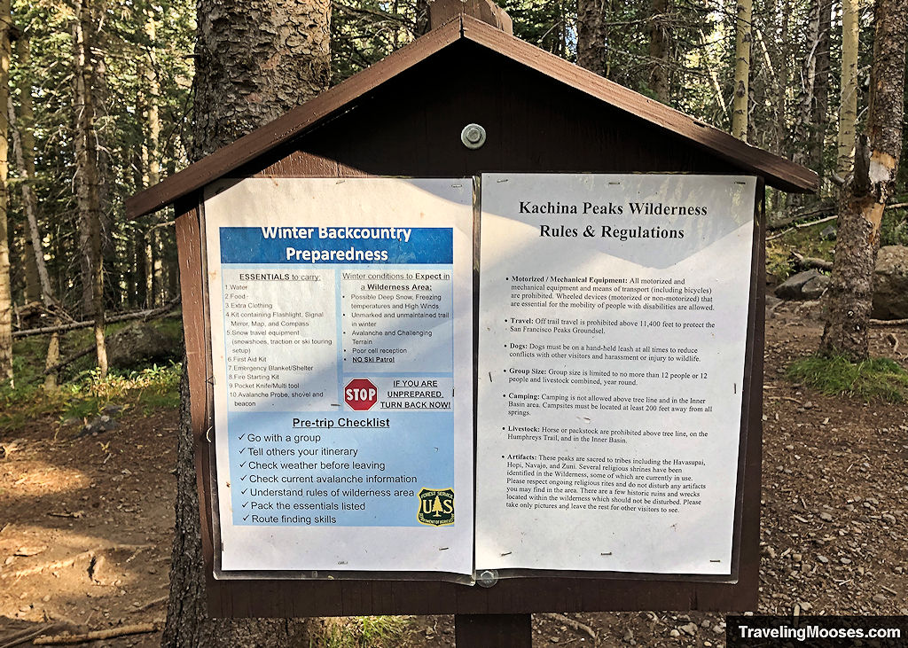
We found additional warnings right before heading into the forested area of Humphreys trail:
Kachina Peaks Wilderness Rules & Regulations:
- Motorized / Mechanical Equipment: All motorized and mechanical equipment and means of transport (including bicycles) are prohibited. Wheeled devices (motorized or non-motorized) that are essential for the mobility of people with disabilities are allowed.
- Travel: Off trail travel is prohibited above 11,400 feet to protect the San Francisco Peaks Groundsel.
- Dogs: Must be on a hand-held leash at all times to reduce conflicts with other visitors and harassment or injury to wildlife.
- Group Size: Group size is limited to no more than 12 people or 12 people and livestock combined, year-round.
- Camping: Camping is not allowed above tree line and in the inner Basin area. Campsites must be located at least 200 feet away from all springs.
- Livestock: Horse or packstock are prohibited above tree line, on the Humphreys Trail and in the Inner Basin.
- Artifacts: These peaks are sacred to tribes including Havasupai, Hopi, Navajo, and Zuni. Several religious shrines have been identified in the Wilderness, some of which are currently in use. Please respect ongoing religious rites and do not disturb any artifacts you may find in the area. There are a few historic ruins and wrecks located within the wilderness which should not be disturbed. Please take only pictures and leave the rest for other visitors to see.
Backcountry Preparedness:
Pre-trip checklist:
- Go with a group
- Tell others your itinerary
- Check weather before leaving
- Check current avalanche information
- Understand rules of wilderness area
- Route finding skills
They recommend bringing the following ESSENTIALS to carry:
- Water
- Food
- Extra clothing
- Kit containing flashlight, signal mirror, map, and compass
- First aid kit
- Emergency blanket/shelter
- Fire starting kit
- Pocket knife / multitool
- Snow travel equipment (snowshoes, traction or ski touring set up)
- Avalanche probe, shovel and beacon
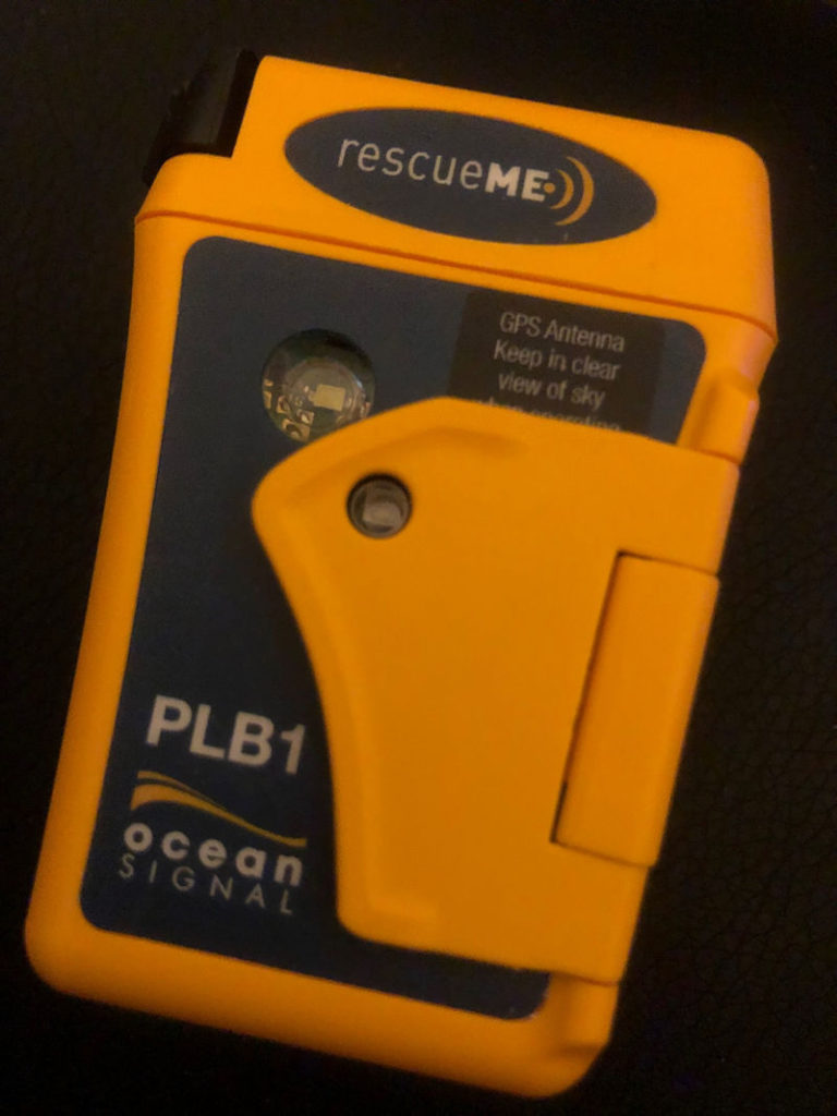
We hiked in the summer when it was warm and no snow in sight. We do not recommend going in the winter.
Here is what the warning sign said you should be aware of in winter conditions:
- Possible deep snow, freezing temperatures and high winds
- Unmarked and unmaintained trail in winter
- Avalanche and challenging terrain
- Poor cell reception
- No Ski Patrol

