Ensign Peak hiking stats at a glance
| Trail Description | Out and back |
| Trail Location | Ensign Vista Dr, Salt Lake City, UT |
| Trail head coordinates | 40.79183, -111.88822 (opens in google maps) |
| Parking | Street parking available on Ensign Vista Drive |
| Round Trip Mileage | 1.0 miles |
| Average Time | 30 to 45 minutes |
| Difficulty | Easy |
| Elevation Gain | ~384 feet |
| Elevation at Summit | 5,416 feet |
| Best time to visit | Year-round |
| Entrance Fee | Free |
| Rating | 5.0 Mooses |
What to expect at Ensign Peak in Salt Lake City (our experience)
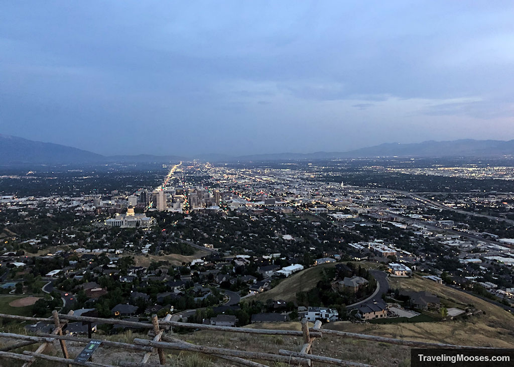
What could be a better way to end our Salt Lake City adventure than a hike up Ensign Peak? The historic site is an “ensign for the nations” and is home to the most magnificent views overlooking Salt Lake City.
We excitedly entered Ensign Peak in Google maps and drove off across the city in search of the trailhead. We were routed through narrow and dark side streets that frequently went up steep hills before finally arriving.
We thought the route was odd, but after coming back the same way followed by other tourists, we concluded it was likely due to the Utah Jazz game playing at Vivint Arena that night. If you’re headed there from downtown Salt Lake there is a more user-friendly route listed in the FAQ section below.
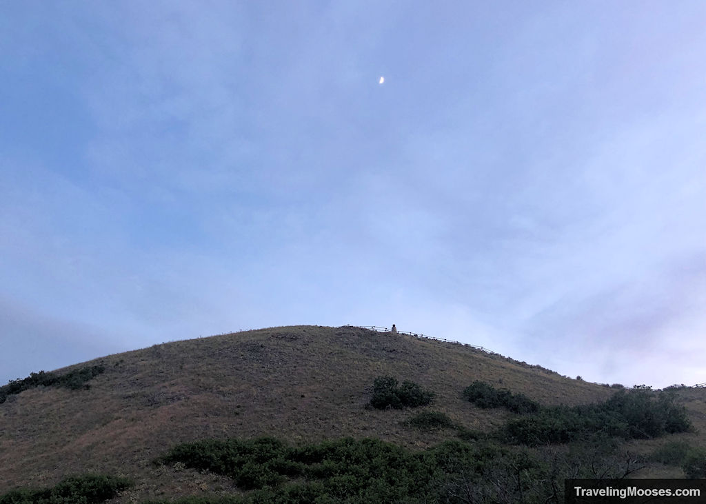
We were traveling from the south and found the trailhead entrance on the left starting from the side of a residential road. You can tell when you get close as there are a bunch of cars lined up on the street surrounding the park entrance. We wondered if one day the park access will be different as it brings a fair amount of people into a quiet, upscale neighborhood. We parallel parked and walked a short way up the hill to the start of the hike.
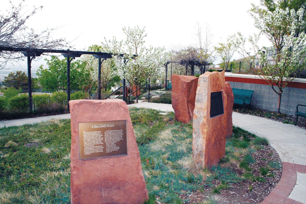
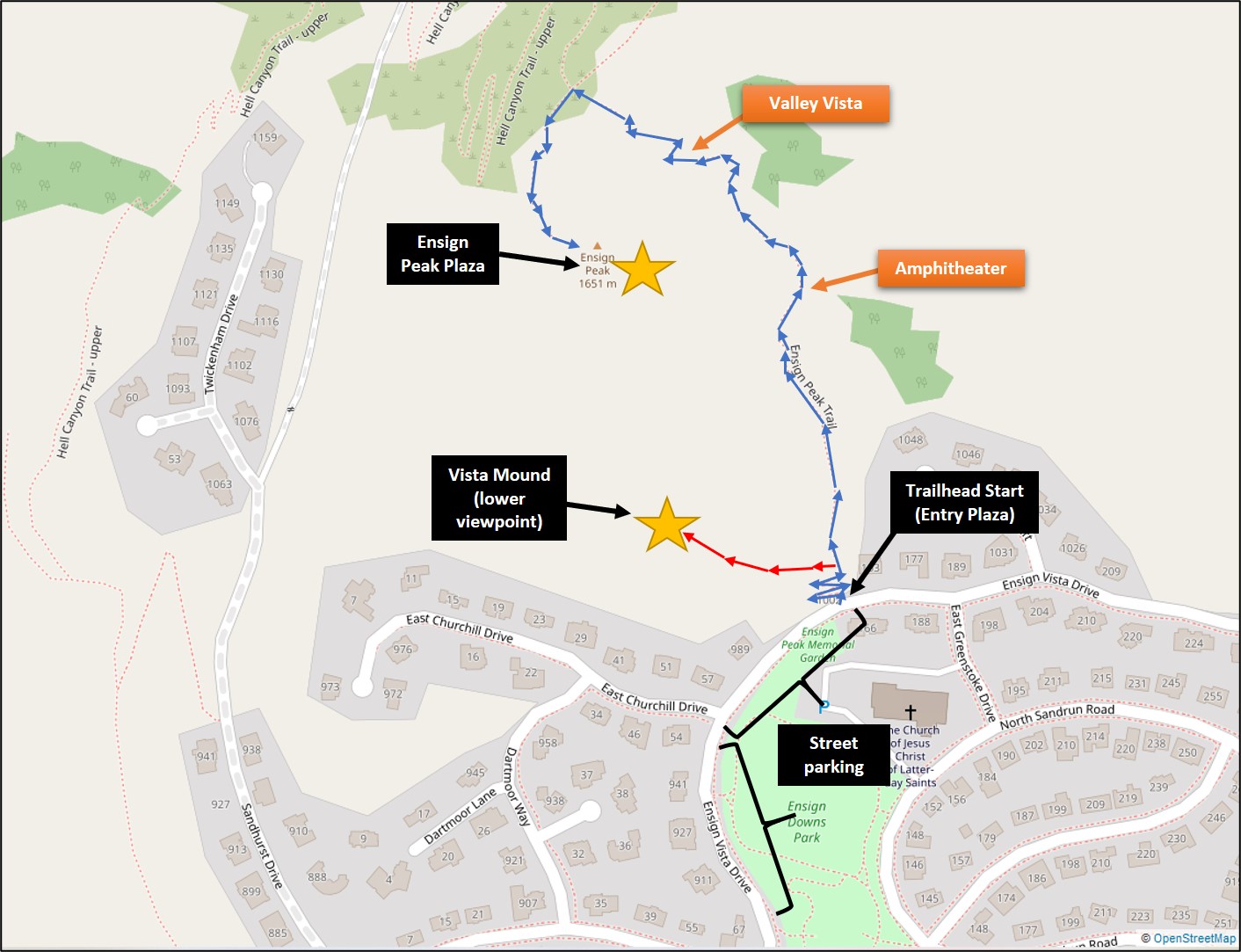
The beginning of the hike starts with a small interpretive area of stones and plaques describing the history of the area. There are two trails in Ensign Park with the main route off to the right. If you head off to the left, you’ll go to a much lower vantage of the city known as the “Vista Mound.” If you have time, check out both for two unique views.
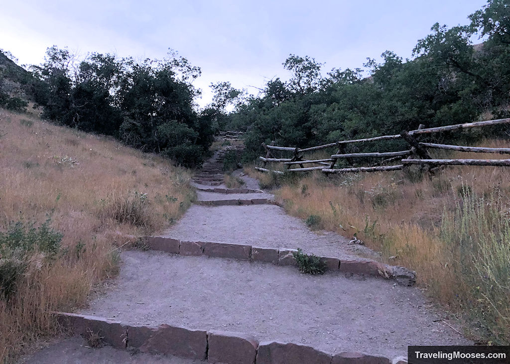
We arrived at the trailhead around 8:45 PM and the sun was setting fast so we went straight for the main hill. The path was wide and well-marked with mostly hard packed dirt and some rocky/gravely areas. We hustled up the trail and reached the summit in about 15 minutes; just in time to catch the sky turning beautiful shades of red and pink.
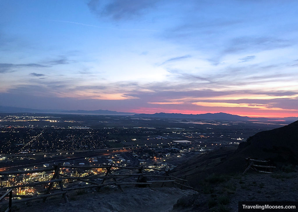
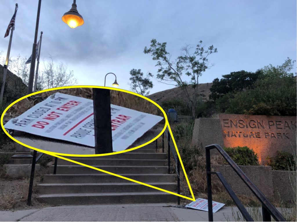
After enjoying the beautiful sunset and night views of the cityscape, we decided it was time to head down. Plus, we noticed a sign at the start of the trail that the park closes at 10 PM.
We weren’t prepared for a night hike and only had the light from the stars along with our cell phone flashlight. It worked just fine, but it would be easier with a headlamp. In a pinch, you could follow some other visitors down if you had no light source.
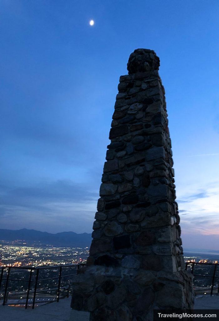
Near the end of the trail, I caught some movement out of the corner of my eye and spotted a very large snake slithering on the edge of the path. One of the other hikers behind us mentioned someone had seen a rattlesnake earlier in the evening. Yikes! It was far too dark to know what kind of snake it was and we didn’t hear any rattling, but be alert when you’re hiking on this trail.
Despite the park officially closing at 10 PM, we saw many hikers heading up the trail around 9:45PM. To be fair, the chain that should close the trail wasn’t yet put up, but we can’t be sure how well enforced the closure is.
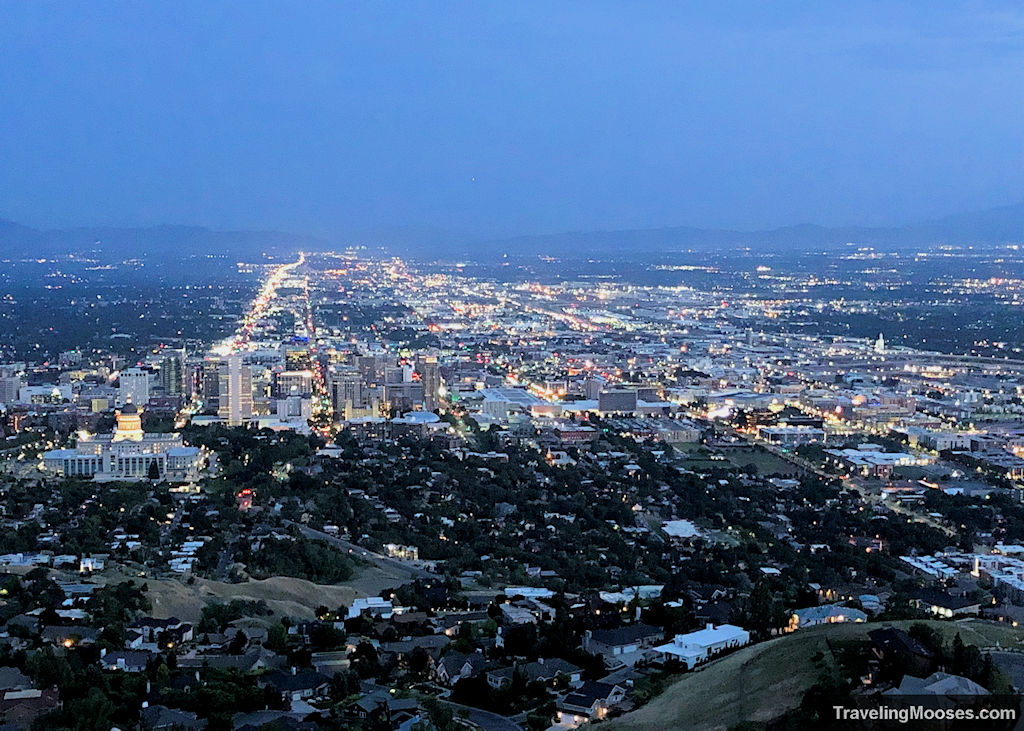
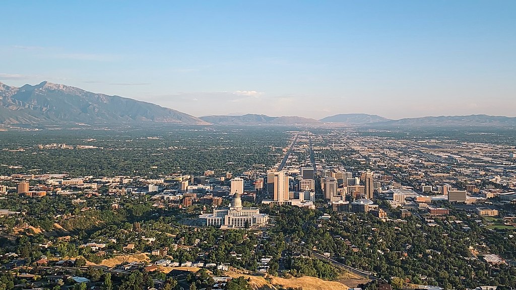
Is visiting Ensign Peak worth it?
Rating: 5.0 Mooses

- What we liked
- The sunset and views were amazing!
- There are historic markers along the way to provide education and details on why the path exists.
- What we didn’t like
- Nothing. We tried and tried and can’t come up with one thing.
- Others have complained of large crowds on a night with a beautiful sunset. We felt there was plenty of room for everyone and the crowds weren’t that bad when we were there.
- If there is fog or a lot of clouds, you probably wouldn’t be able to see much.
Verdict – Go there at least once and we’ll certainly be back.
Know before you go
- There is only street parking at the base of this hike. Access to the hike is located in an upscale neighborhood on the north side of Salt Lake City. Google maps took us directly to the trailhead.
- Ensign Park officially closes at 10 PM which can make watching the sunset difficult in certain times of the year. We saw many people starting their climb up at 9:45 PM and didn’t see anyone enforcing the closure.
- Watch out for snakes in the grass along the trail.
- There are no restrooms in the park, but there were several garbage cans near the start of the trail.
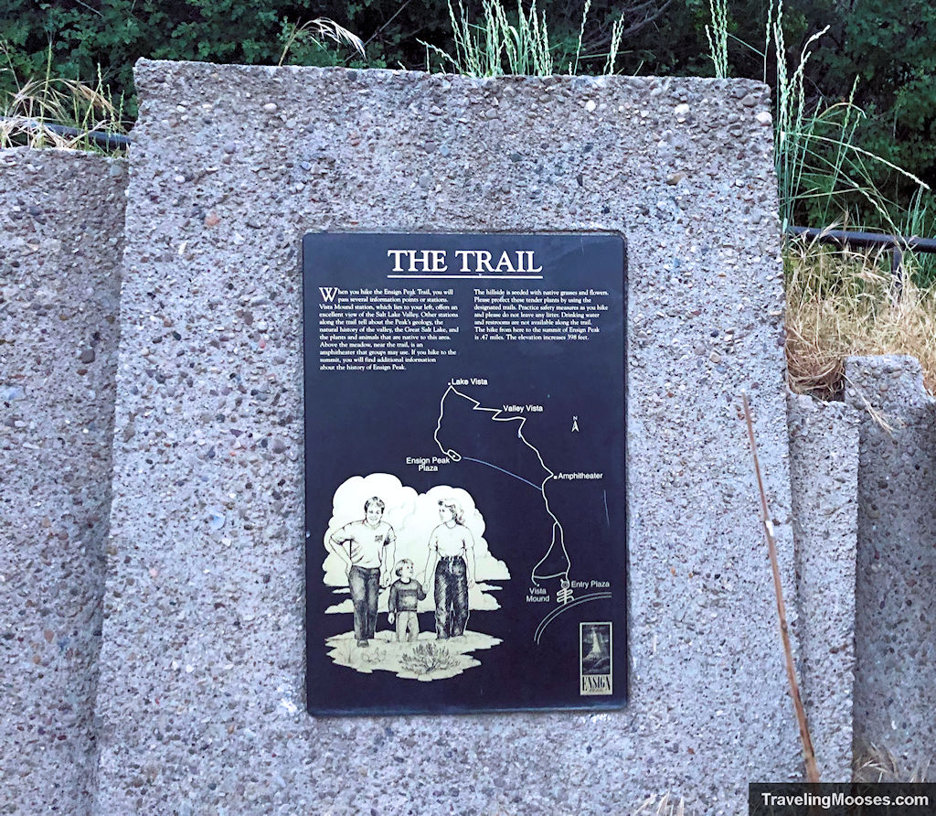
Points of view along the Ensign Peak trail
- Vista Mound Station – an excellent view of Salt Lake Valley from closer to the city
- Amphitheater – available for group usage
- Vista of the Salt Lake Valley
- Vista of the Great Salt Lake
- Ensign Peak Plaza at the summit
History of Ensign Peak
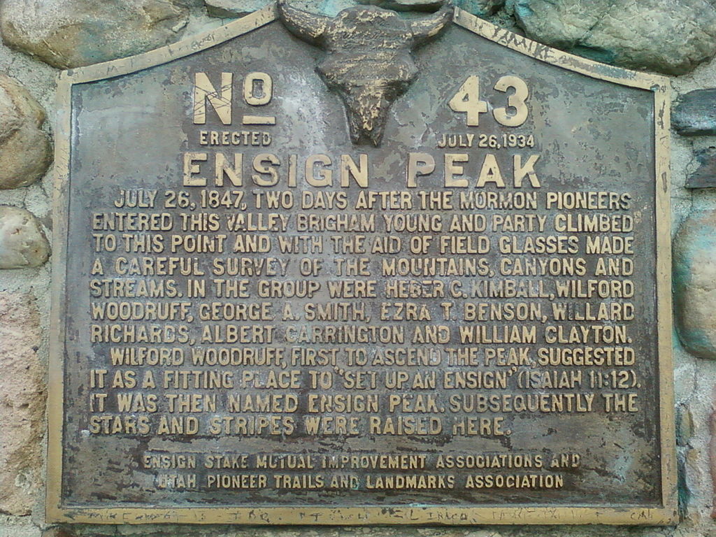
Ensign Peak was first named on July 26, 1847, which was only two days after the Brigham Young party entered the Salt Lake Valley.
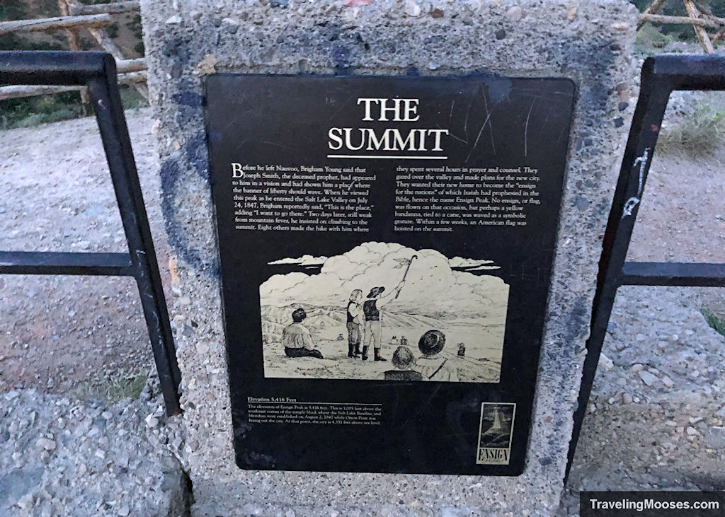
A plaque at the Summit describes the following:
Before he left Nauvoo, Brigham Young said that Joseph Smith, the deceased prophet, had appeared to him in a vision and had shown him a place where the banner of Liberty should wave. When he viewed this peak as he entered the Salt Lake Valley on July 24, 1847, Brigham reportedly stated, “this is the place” adding “I want to go there.”

Two days later, he summited the peak along with several other notable members of the group; Heber C. Kimball, Wilford Woodruff, George A. Smith, Ezra T. Benson, Willard Richards, Albert Carrington and William Clayton. Wilford Woodroof suggested it was a “fitting place” to “set up an Ensign” (Isiah 11:12). And thus, Ensign Peak was officially born. A plaque at the site commemorates this historic moment.
Isiah 11:12 | And he shall set up an ensign for all the nations, and shall assemble the outcasts of Israel, and gather together the dispersed of Judah from the four corners of the earth.
Ensign (Defined by: Guide to the Scriptures)
“In the scriptures, a flag or standard around which people gather in a unity of purpose or identity. In ancient times an ensign served as a rallying point for soldiers in the battle.”
Ensign Peak Nature Park is dedicated
On July 26, 1996, the nature park was officially dedicated to the Public by the President of the Church of Jesus Christ of Latter-day Saints, Gordon B. Hinckley. The plaza was designed to remind visitors of the origins of Ensign Peak and was constructed with materials similar to those used by the founding pioneers.
Frequently Asked Questions about Ensign Peak
Where is the Ensign Peak Trailhead?
The Ensign Peak trailhead is located at the coordinates of: 40.7918081, -111.8886204.
What is the Ensign Peak Trailhead Address?
The official address is: Ensign Peak Trail, Salt Lake, City UT 84103.
What are the directions to Ensign Peak?
From downtown Salt Lake City:
- Head north on S State Street for approx. 1 mile
- Turn Right on 300 N
- Continue onto E Capitol Street for 0.8 miles
- Turn left onto Edgecombe Dr. for 0.3 miles
- Continue onto Ensign Vista Drive for 0.2 miles
- The destination will be on your left
What are the hours of Ensign Peak Nature Park?
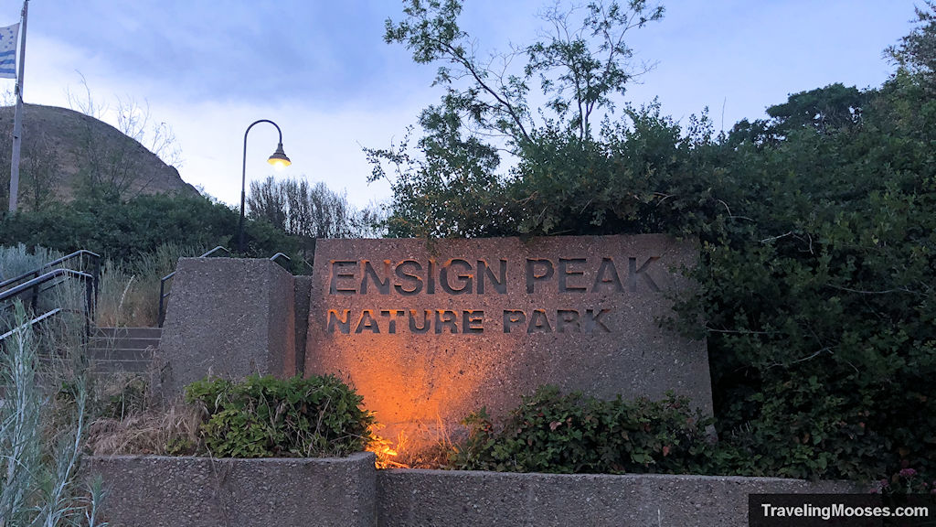
Ensign Park is officially open from 5 AM to 10 PM as signified by a sign at the entrance of the park. Violation of the ordinance is punishable under SLC ordinance 15.08.020.
Map of Ensign Peak in Salt Lake City, UT
The map below shows where the main trail and parking areas can be found.
What are the rules of the Ensign Peak Trail?
Visitors are required to stay on marked trails at all times. The following is not allowed on the trail: fires, camping, alcohol, bicycles and skateboards. Dogs are permitted on a leash.
How do I visit the nearby Ensign Peak Memorial Gardens?
Directly across the street from the Ensign Peak Trail you will find the Ensign Peak Memorial Gardens. Unfortunately, we arrived too late to visit the gardens, but if you have time for a quick visit before your sunset hike, the garden is free, has plenty of places to sit and relax, along with more informational sign boards.
