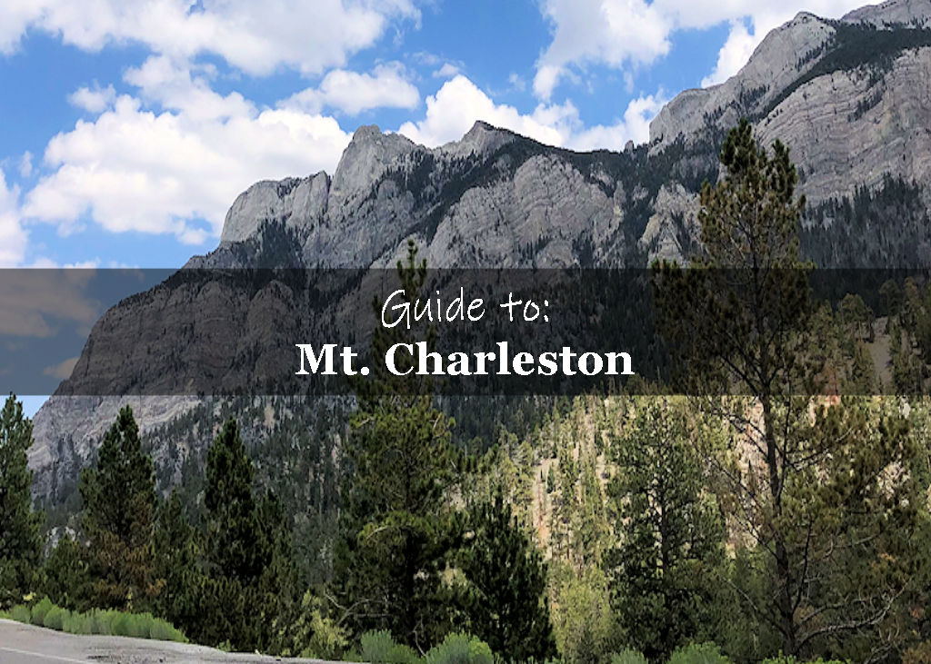
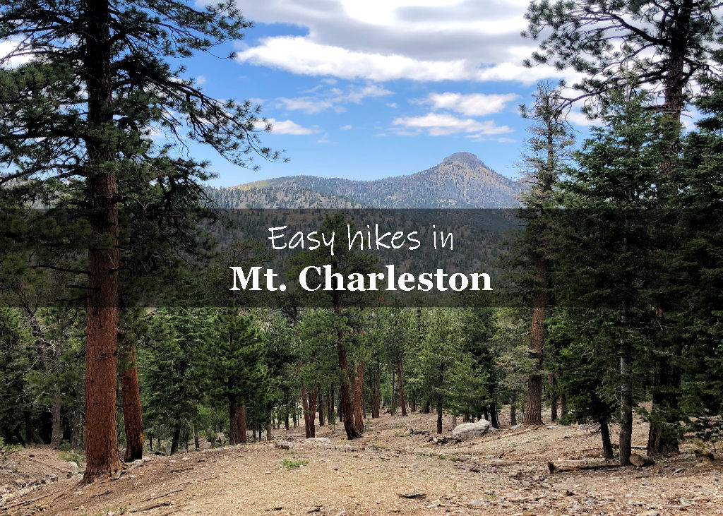
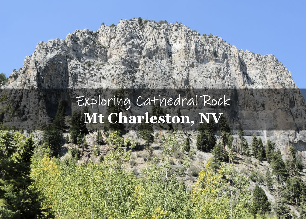
Eagle’s Nest Trail in Mt. Charleston, NV is an easy hike with beautiful views of Cathedral Rock, the Spring Mountains and seasonal wildflowers.
In this guide:
- Trail summary
- What to expect on the trail
- Practical Information for your hike
- Explore more hikes in the area
Eagle’s Nest Trail Hiking Stats
| Trail Description | Out and back |
| Trail Location | Eagle’s Nest Loop Trail, Mt. Charleston, NV 89124 (Starts at Fletcher Canyon Trailhead) |
| Parking Lot | 36.26335449308857, -115.61225088620047 |
| Round Trip Mileage | 2.7 miles |
| Average Time | 1 – 2 hours |
| Difficulty | Easy |
| Elevation Gain | ~400 feet |
| Best time to visit | Spring through Fall |
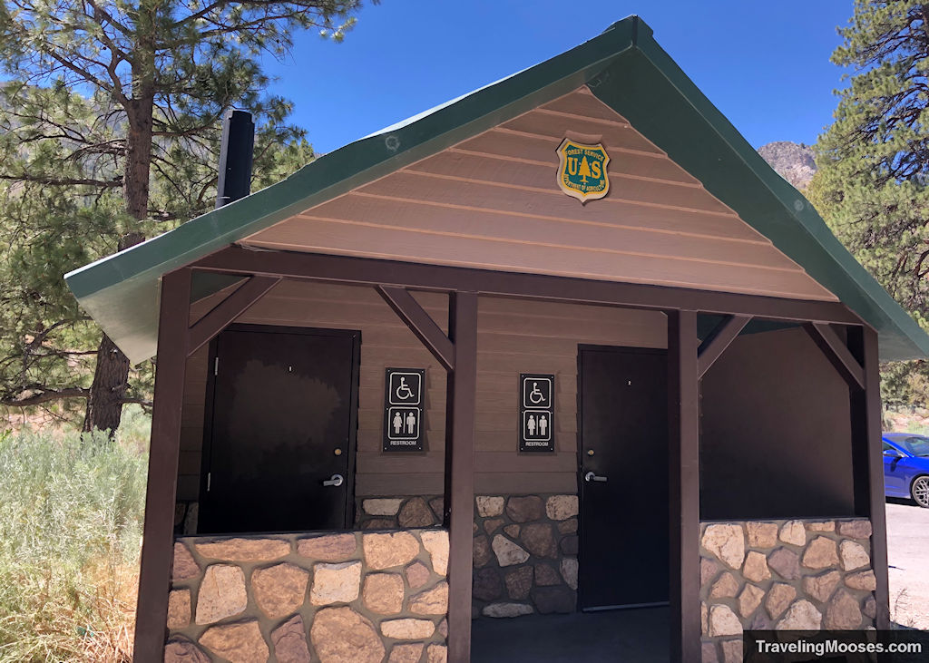
| Amenities at the Trailhead | Parking, restrooms (primitive), trash receptacle, boot brush station, trail map / information board |
| Entrance Fee | None |
| Rating | 3.5 Mooses |
What to expect along the Eagle’s Nest Trail
We arrived around 10 a.m. on a weekday and luckily grabbed the last available spot in the main parking lot.
Just two days later, we would be back at the same lot at 8 a.m. to hike the Fletcher Canyon Trail and found the lot almost empty.
Related: Explore the Fletcher Canyon Trail.
There is room for approximately 16 cars in the main lot and there’s also a small overflow lot immediately to the east.
Go early if you want to ensure a spot.
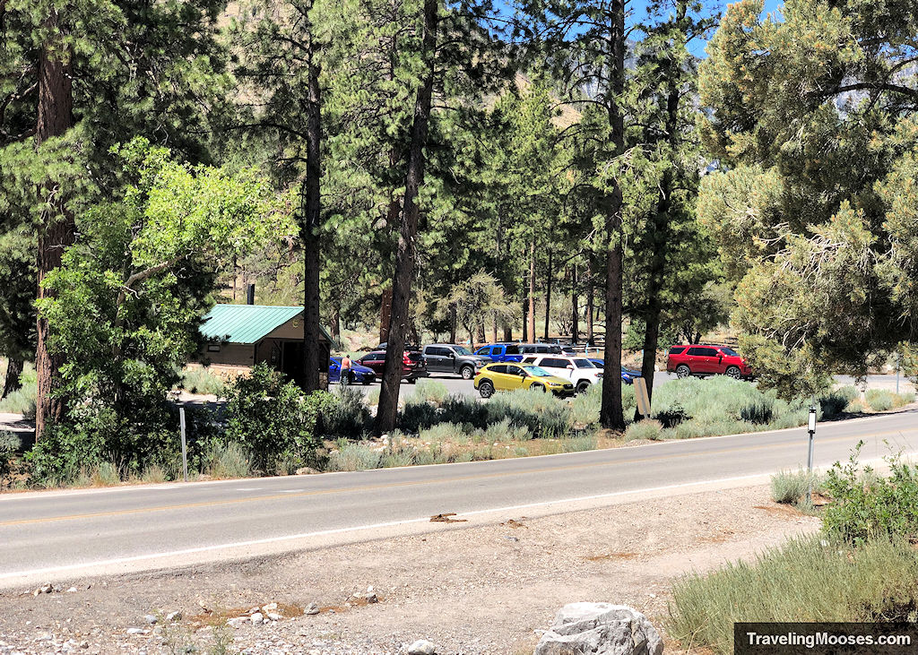
Walking from the parking lot, you will need to cross NV-157 / Kyle Canyon Road to reach the trailhead. The speed limit is 35 mph on this road, but we noticed vehicles were going quickly and not always stopping for pedestrians. Cross carefully.
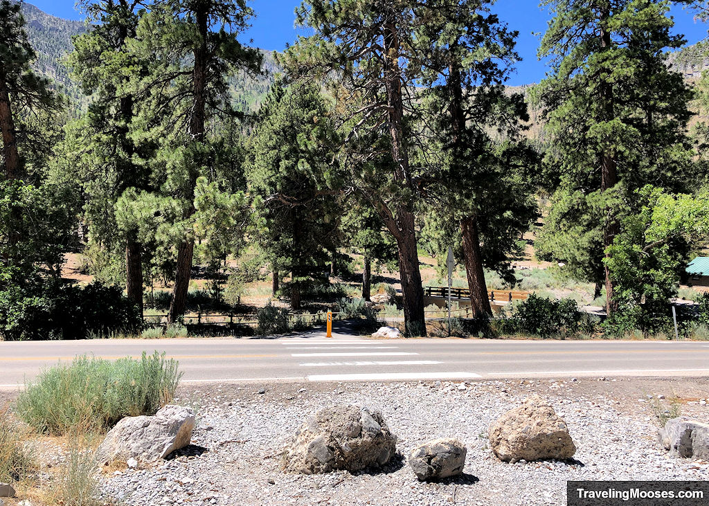
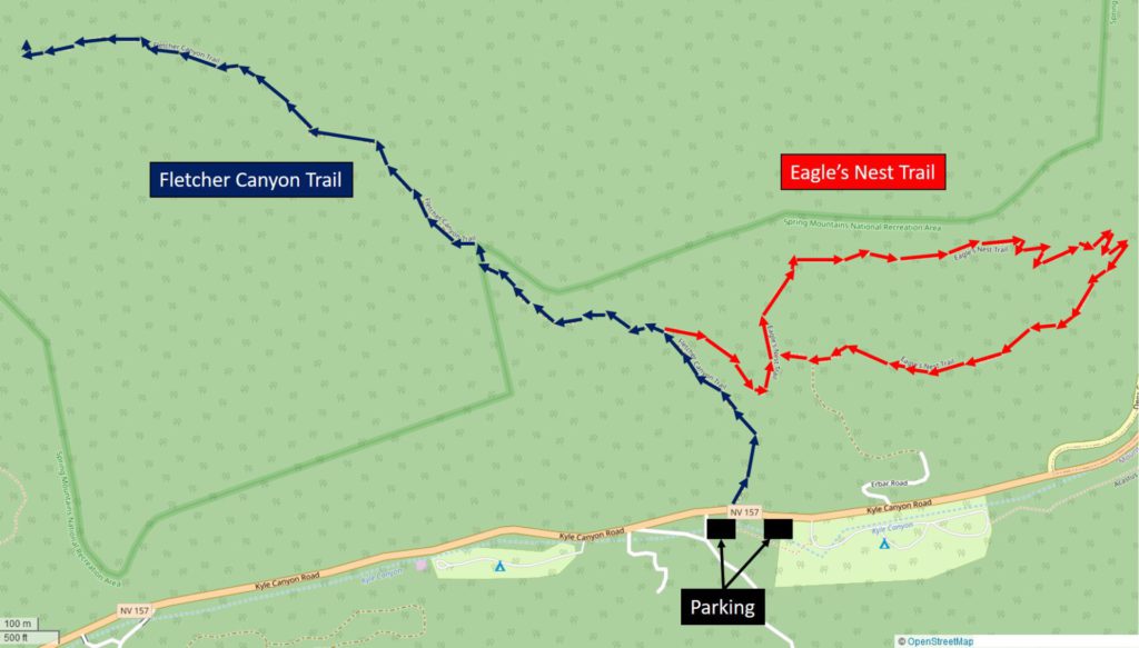
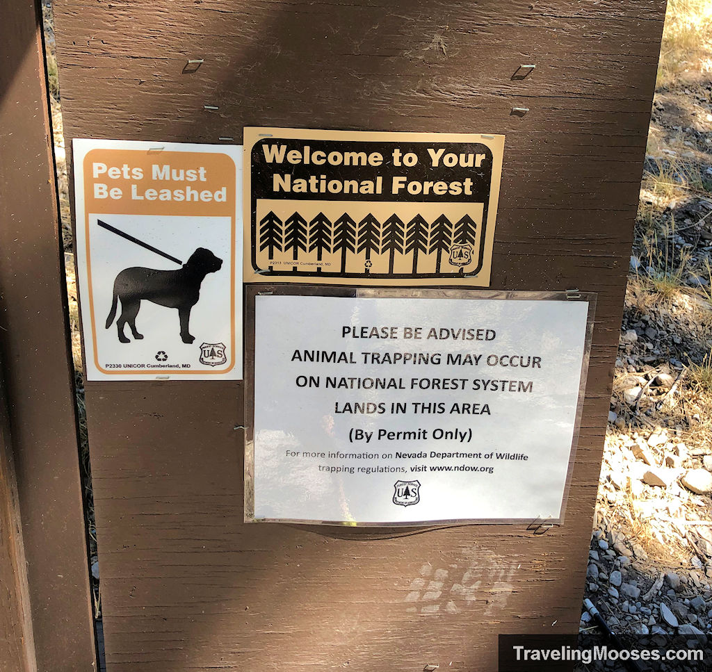
After crossing the street, we found information about the area and a boot brush station. The sign board has a map for the Fletcher Canyon Trail, but did not include any information about the Eagle’s Nest Loop Trail. You can find a trail map later on in this article.
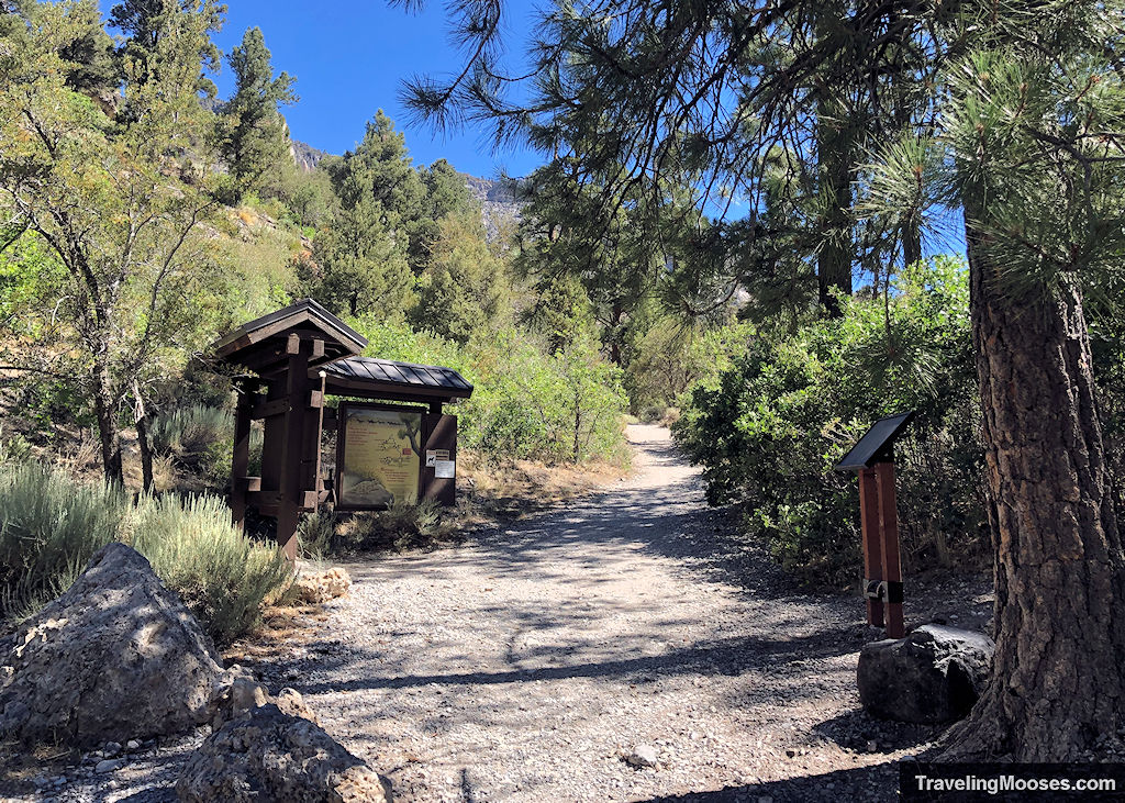
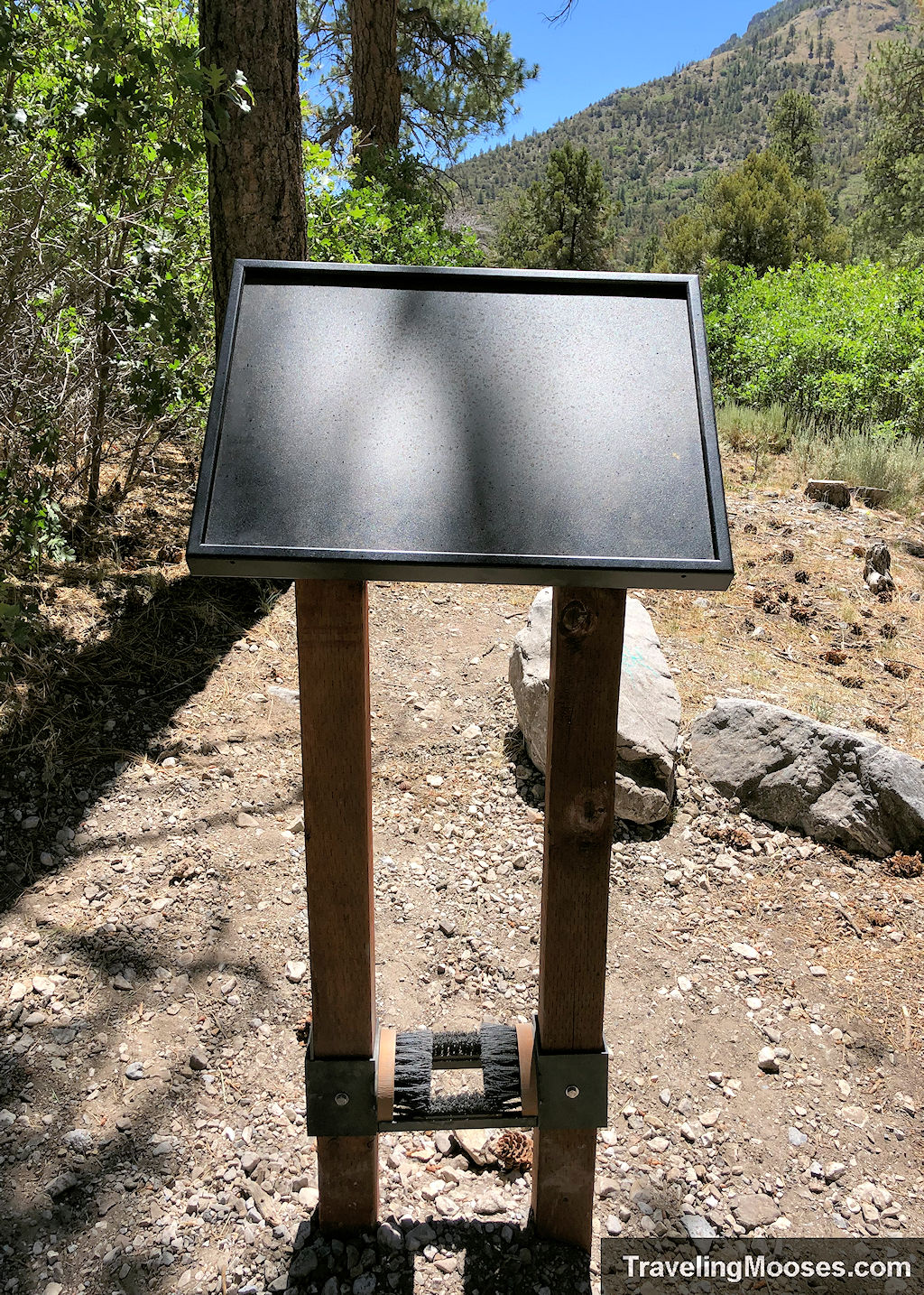
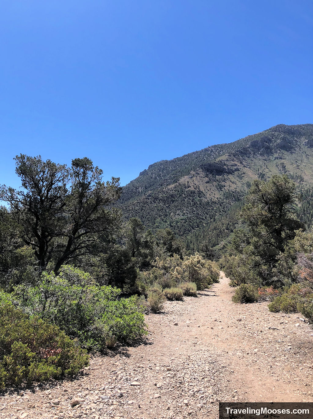
As the trail begins, you’ll find a wide-open hard packed dirt path with a fair number of loose rocks scattered about. The trail starts out easy to follow and offers some shade from the sun (this can vary depending on the time of day).
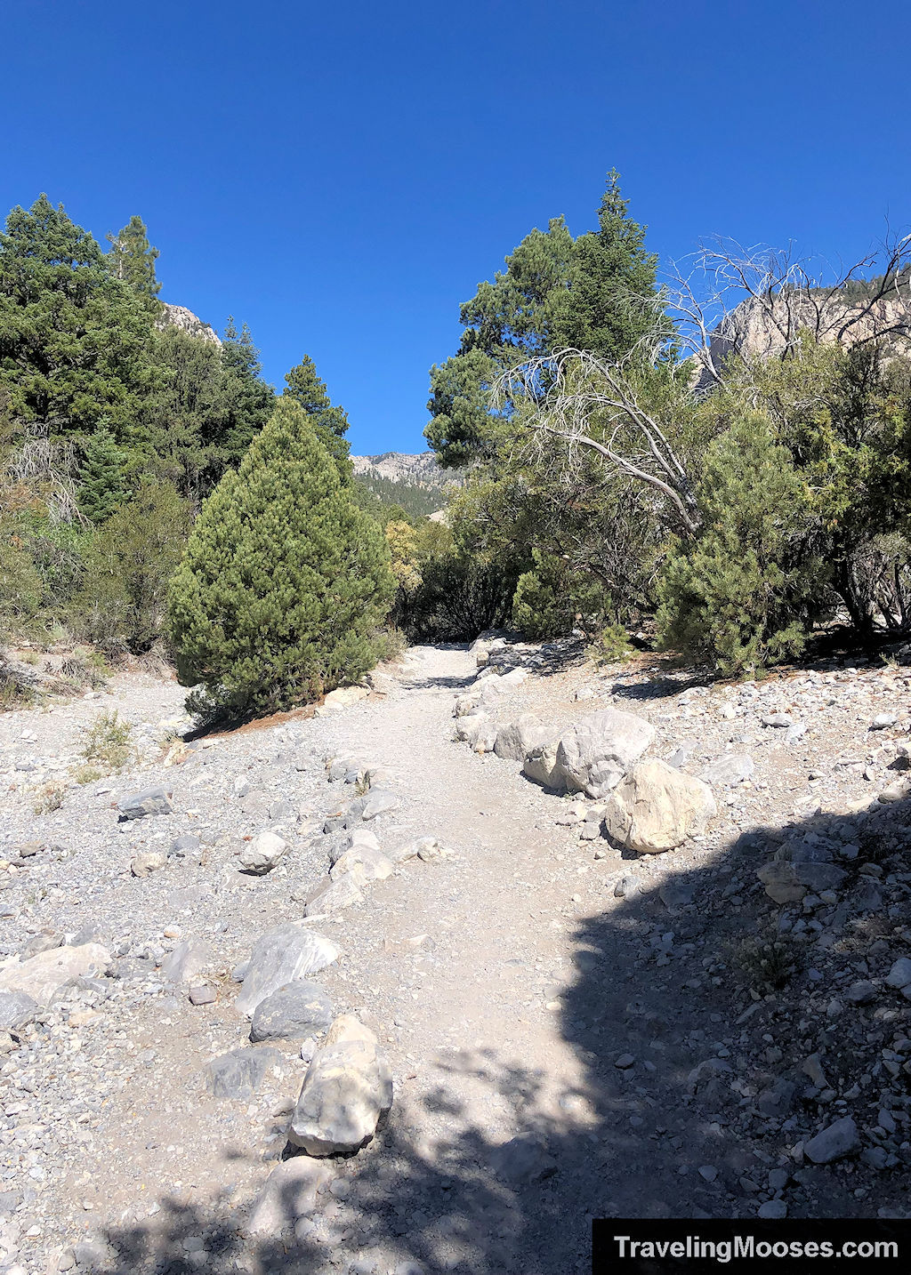
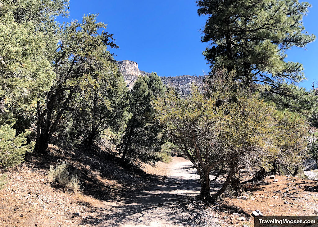
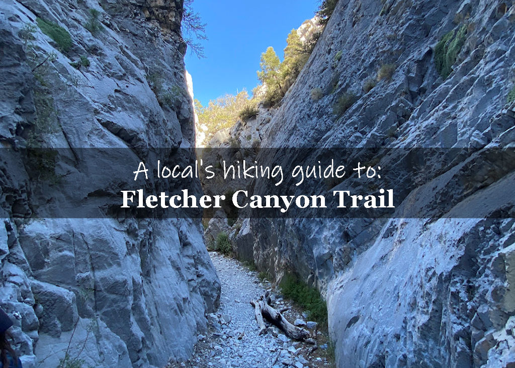
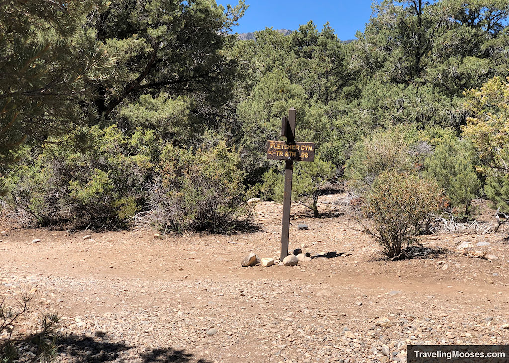
After about 0.3 miles, you’ll come to a fork in the trail. Make sure you turn right at the fork, rather than heading to the left. If you go left, you’ll end up on the Fletcher Canyon Trail (which is amazing and we recommend check out if you have time – but it is considered a “moderate” hike).
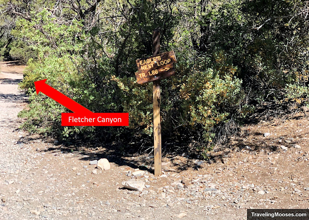
Immediately after you take the right turn, you’ll be met with an abrupt incline, which will lead you to a gently sloping ridge above Kyle Canyon.
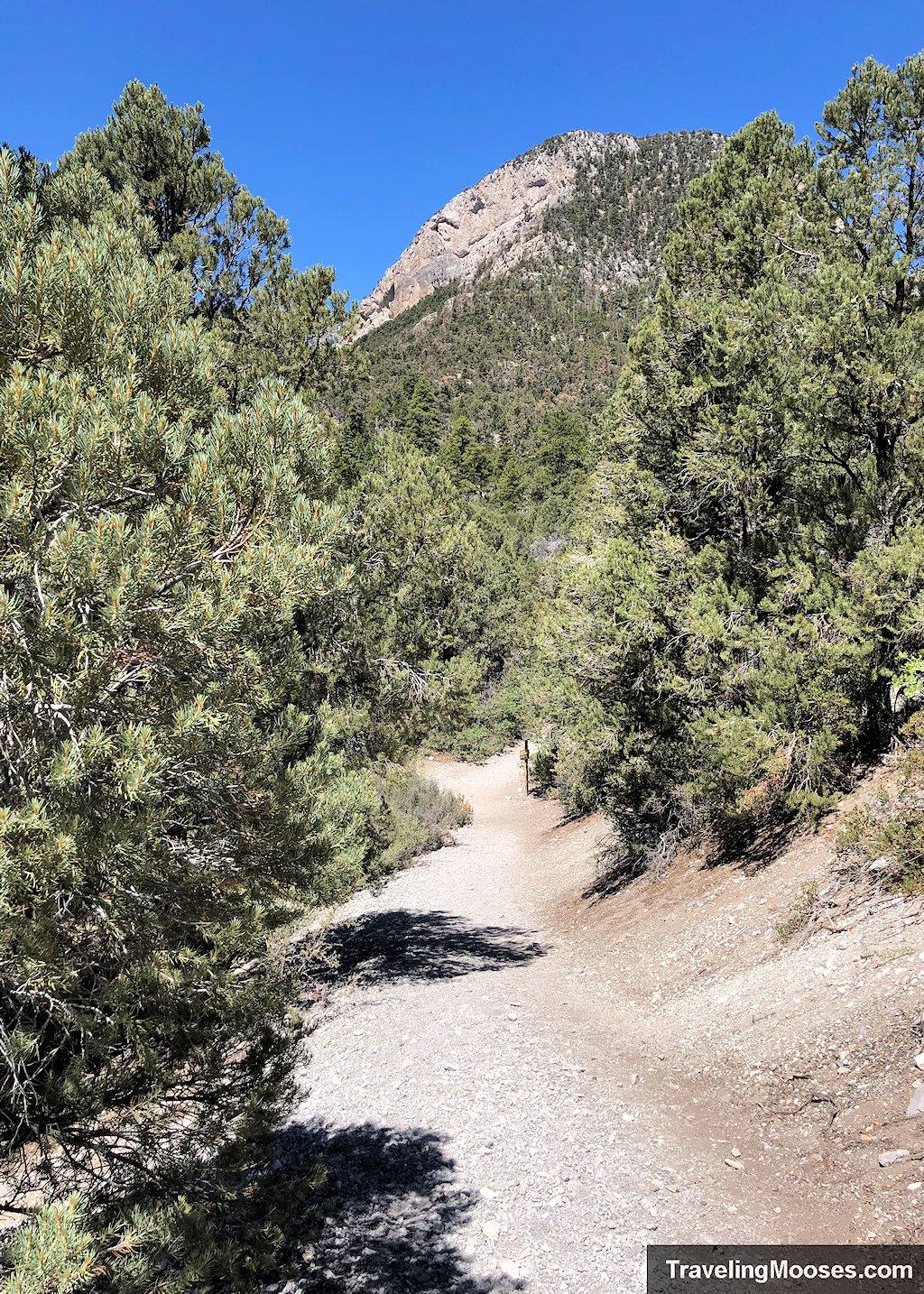
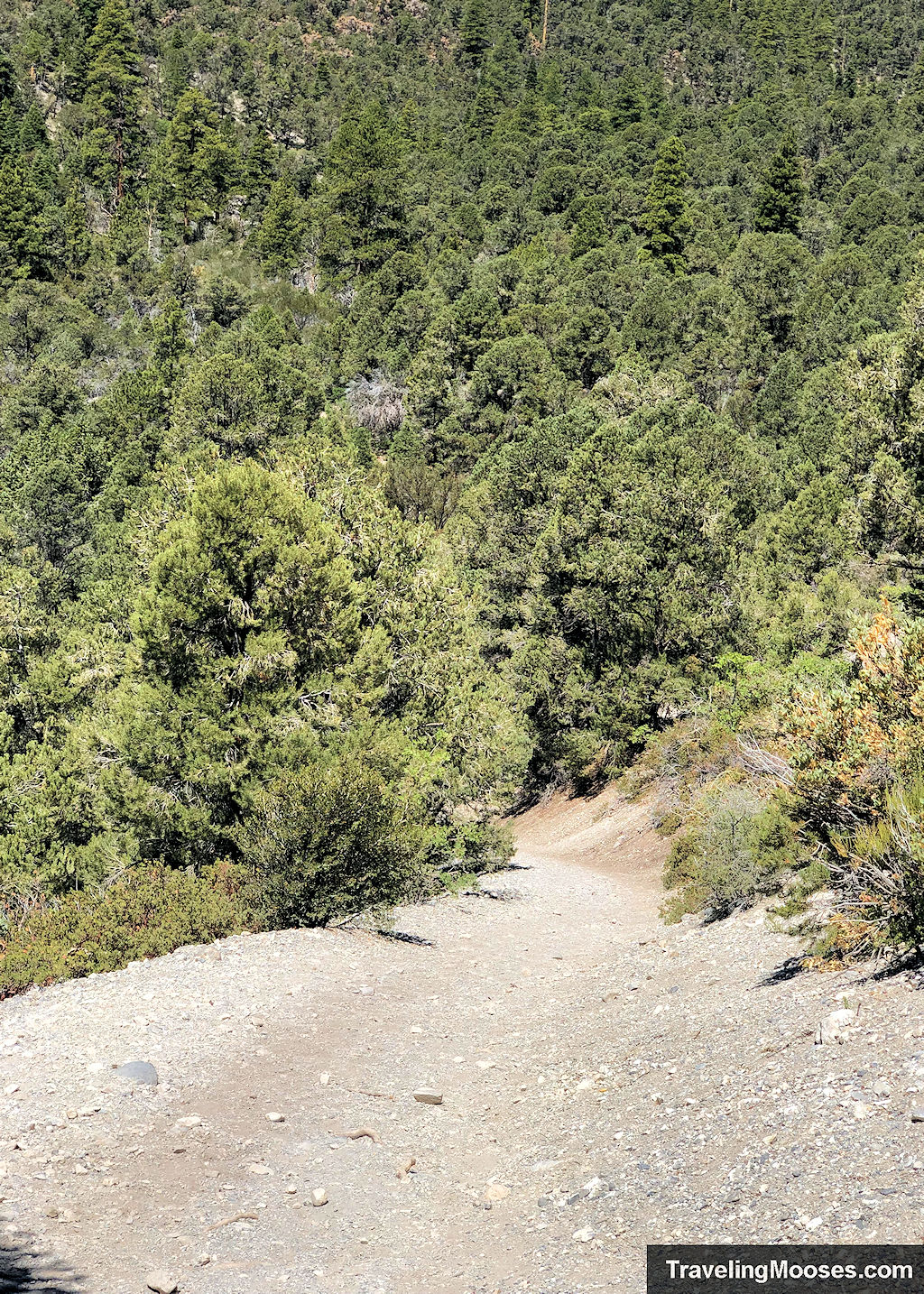
While the hill is short, we noticed a bit of loose gravel on the trail, which can be slippery. Watch your footing, especially on the return journey.
At this point, you’ve done the hard work and all there is left to do is enjoy the views throughout the loop.
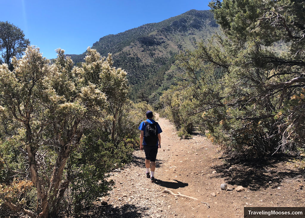
The trail meanders in a large (well-marked) loop, where you can see gorgeous views of Fletcher Mountain, Cathedral Rock and the surrounding valley.
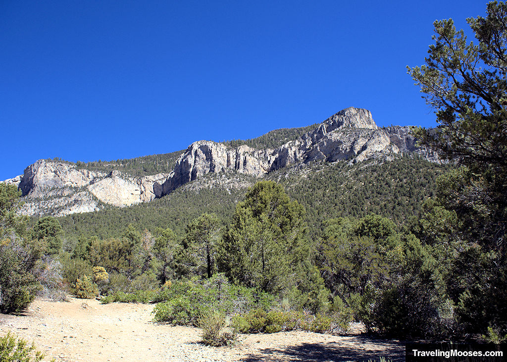
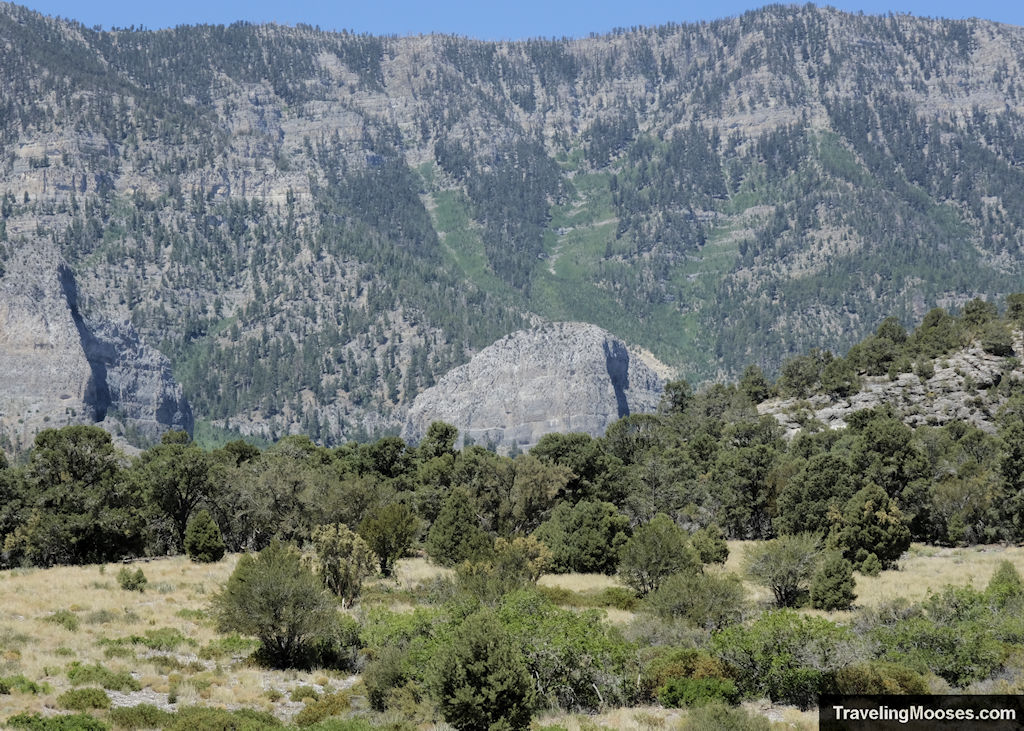
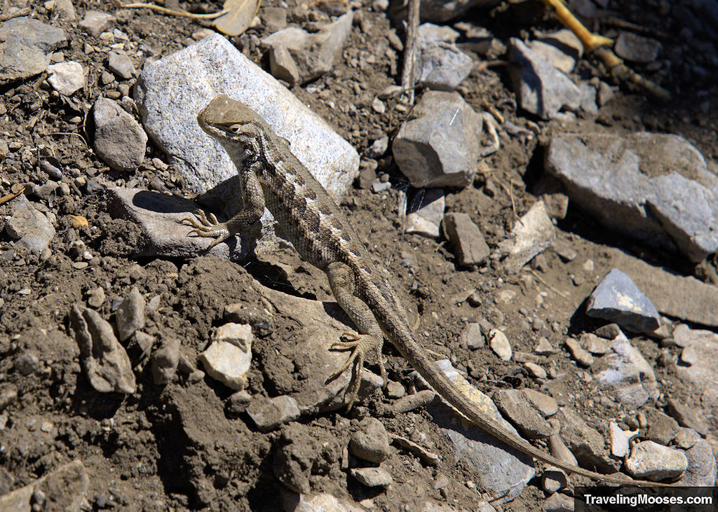
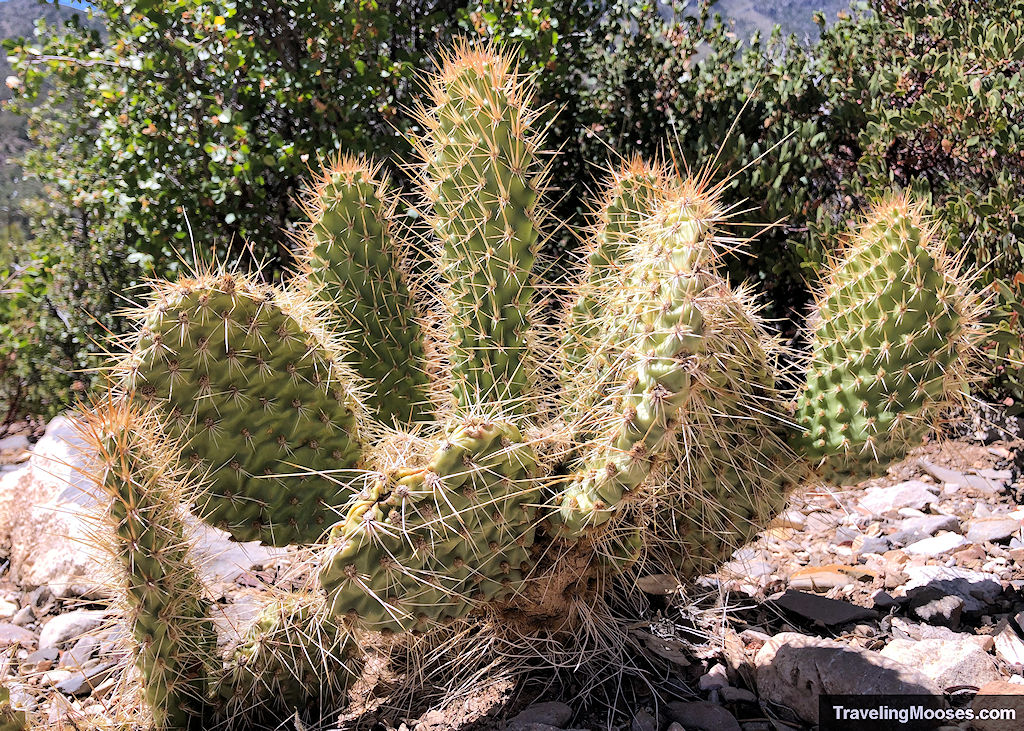
Keep your eyes posted for sagebrush lizards and prickly pear cacti along the trail.
We do recommend bringing sun screen and a hat for this hike, as once you enter the ridge area, shade was non-existent. If you’re hiking in the summer, while it is cooler in the Spring Mountains than the Vegas valley, it still gets quite warm. Plan accordingly and be sure to bring lots of water.
On the far end of the loop, you can also see the Spring Mountains Visitor Gateway center in the background.
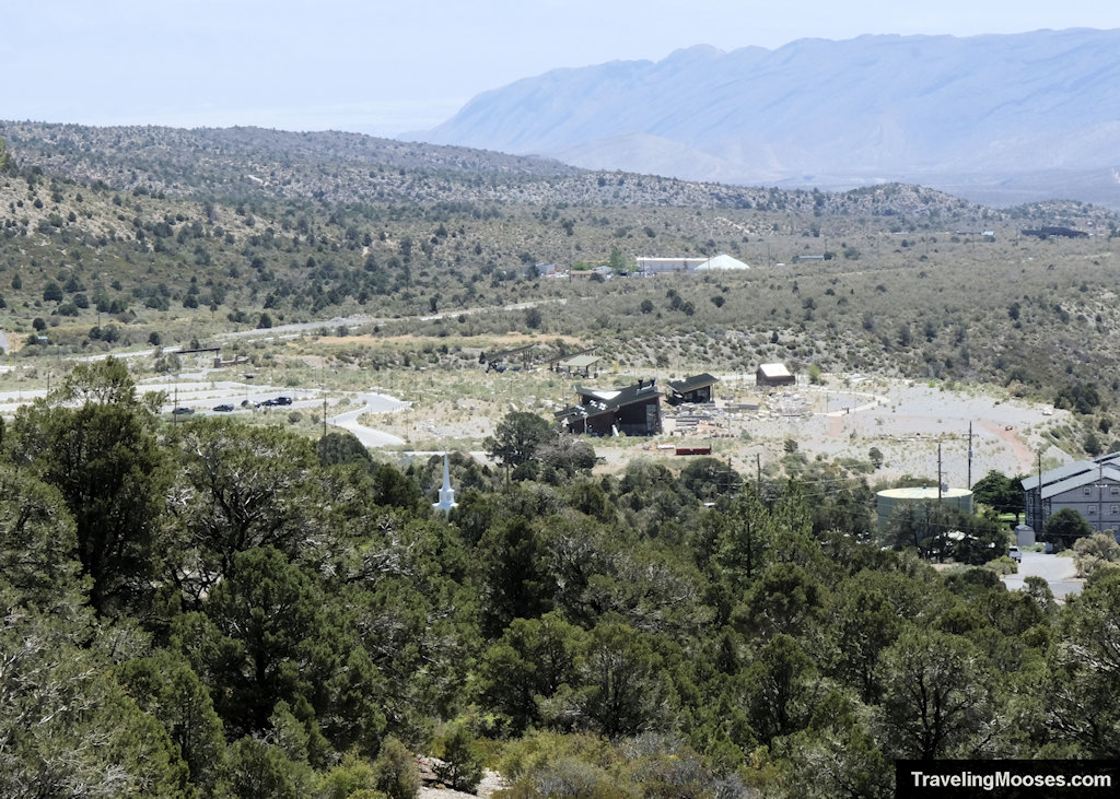
Related: Visit the Spring Mountains Visitor Gateway
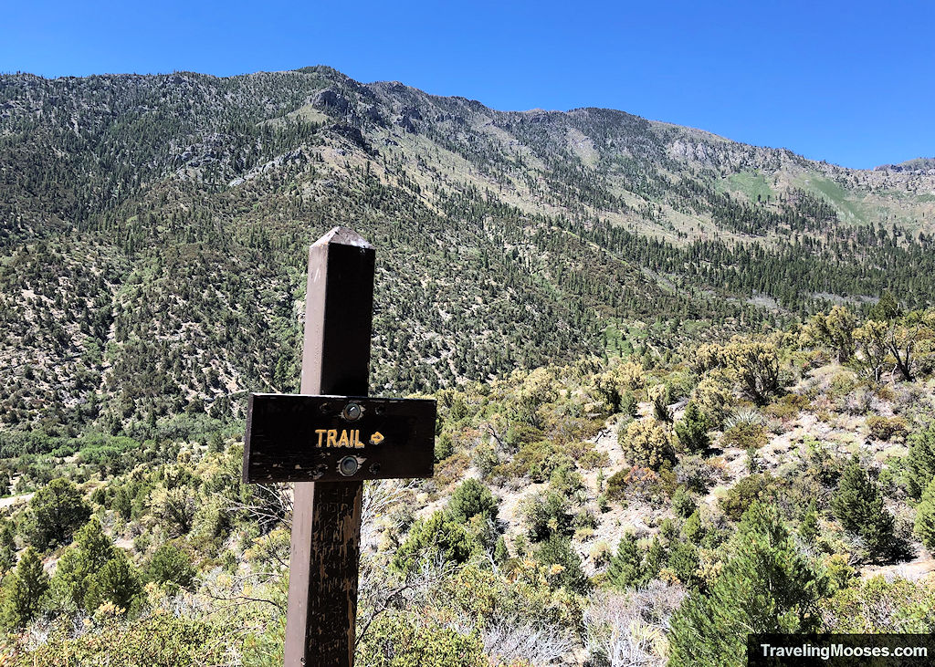
After traversing the loop, you’ll eventually meet back up with the lower portion of the Fletcher Canyon Trail, which will lead you back the way you came.
It took us a little under an hour and a half to complete the entire loop.
Should you hike Eagle’s Nest Loop?
Rating: 3.5 Mooses

This was our first hike in a few months, and we wanted something easy and pleasant to get us back in the groove. Eagle’s Nest Trail really hit home from that aspect.
What we liked:
- The trail was well marked and gentle in elevation gain.
- The temperatures at Mt. Charleston were about 20 degrees less than in the Las Vegas Valley, making for a fun summer outing.
- We enjoyed the views of Mt. Charleston, Cathedral Rock, Kyle Canyon, and Griffith Peaks.
- Once we were off the shared portion of the trail, we had the trail all to ourselves.
What we didn’t like:
- The loop portion of Eagle’s Nest had virtually no shade.
- The parking area fills up quickly.
- It wasn’t quite as fun as the nearby Fletcher Canyon Trail.
Practical Information for your Hike
Entrance Fees
There are no fees to enter the Spring Mountain Wilderness area, nor to park at the trailhead.
If you’re interested in staying overnight at the nearby Fletcher View Campground, there is a nightly fee.
Getting to the Eagle’s Nest Loop Trail
The start of Eagle’s Nest can be found off of Highway NV-157 (aka Kyle Canyon Road), approximately 18 miles from the turn off on Highway 95, at the Fletcher Canyon Trailhead.
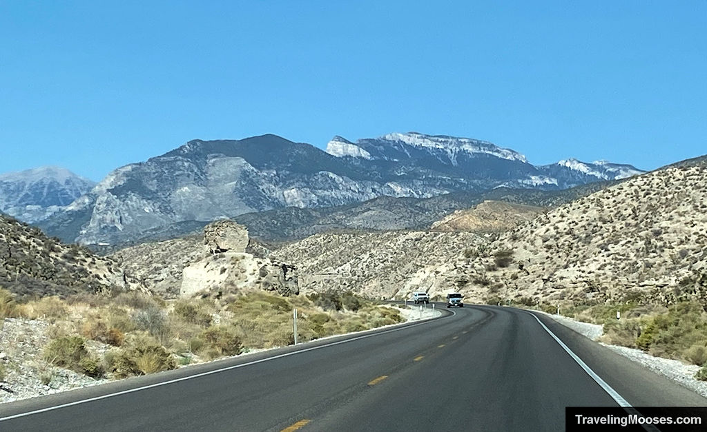
From Las Vegas:
Take Highway 95 Northbound until you reach Exit 96 (Kyle Canyon / NV 157 / Sunstone Pkwy). Turn left off the exit onto NV-157 / Kyle Canyon Road. Drive approximately 18 miles. You’ll see the parking area for Fletcher Canyon/Eagle’s Nest Trail on the left-hand side of the road.
It’s tempting to speed on NV-157. Don’t do it. We frequently see police cars driving around Mt. Charleston, including a blind speed trap you can’t see until it’s too late. For reference, it is located just after the speed limit drops from 55 to 35.
Parking at Fletcher Canyon
There are two small parking lots used to service several hiking trails:
- Fletcher Canyon
- Eagle’s Nest Loop Trail
- Acatus Trail
The lots are popular and fill up quickly.
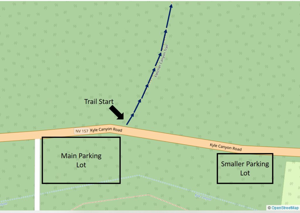
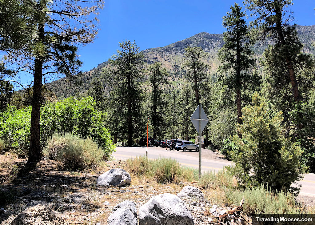
We did see another area along the road that could probably be used as overflow parking, but luckily, we didn’t need to use it. While we didn’t see any signs prohibiting it, there wasn’t a lot of room to get off the highway. We recommend going early to snag a spot in the official lots.
Trail Map
Are dogs allowed on Eagle’s Nest Trail?
Yes, dogs are allowed on the trail with a leash. Horses are also able to use this trail.
Trailhead Amenities
- Two parking lots
- Bathrooms (primitive)
- Trash receptacles
- Hiking boot brush
- Trail Information and trail map
- Access to three different trails, Acatus, Fletcher Canyon and Eagle’s Nest Loop
- Nearby Fletcher View Campground
Trail Information
The Spring Mountains National Recreation Area recommends the following when utilizing the trails in the area:
- Bring extra water
- Wear sturdy hiking shoes or boots
- Wear sunscreen and a hat. At higher elevations, the atmosphere provides less protection from the sun’s harmful rays.
- Flashlight – Allow for ample hiking time.
- Bring clothing for cool or wet weather. Weather changes rapidly in the mountains.
- Leave wildflowers, plants and artifacts. Please leave these behind to be enjoyed by others.
- Take photographs and memories and pack out any trash.
- Stay on trails.
- Let family or friends know where you plan on hiking and when you expect to return. Know your limits and remember, you will need to walk back as far as you have walked in.

