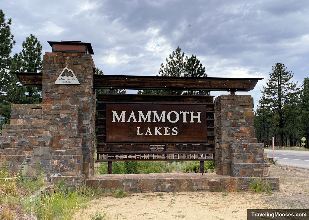
The scenic Tioga Pass Road is located in the heart of Yosemite National Park in CA. We couldn’t resist checking out everything it had to offer!
Tioga Pass Road Fast Facts
| Location | Tioga Pass Road Entrance Station – Lee Vining, A 93541 |
| Tioga Pass Season | Generally late Spring to early Fall, however it’s highly dependent on the snow pack. See historic opening / closing dates here. |
| Current Conditions | Nps.gov |
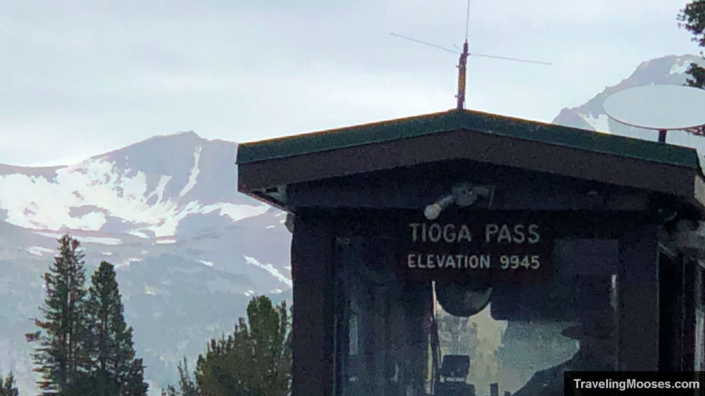
| Elevation at the Entrance Station | 9,945 feet |
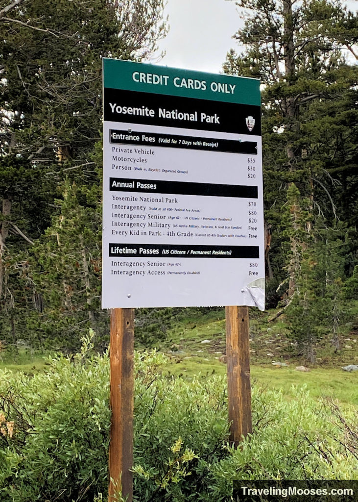
| Cost | Entrance into Yosemite National Park, $35 for a 7-day pass, or the annual America the Beautiful Pass ($80) is accepted. (Prices subject to change). |
| Rating | 4.5 Mooses |
Why did we choose the Tioga Pass entrance to visit Yosemite?
Yosemite has 5 entrances to choose from when visiting. Three of the entrances are open year-round, with Tioga Pass only available during the warmer months.
Which entrance you choose will likely depend on where you are coming from. Mammoth Lakes is closest to the Tioga Pass entrance, which also happens to have less visitors due to its limited seasonal access and location. The most popular sights to see from Tioga Pass include Tuolumne Meadows, Olmstead Point, Lembert Dome and Tenaya Lake.
The map below has each of the 5 entrances along with the most popular area of the park marked (Yosemite Valley). Yosemite Valley includes top picks such as Glacier Point, Tunnel View, El Capitan and Yosemite Falls.
Map of the 5 Entrances to Yosemite
Tioga Pass Road was originally constructed in 1883 for mining purposes and expanded again in 1910 for tourism. It is accessible via the Tioga Pass Entrance station which is located on the eastern most edge of Yosemite. The road typically opens in late spring after the winter snow is plowed and stays open to early fall.
Visiting Tioga Pass Road – our experience
We were staying in Mammoth Lakes for the week and couldn’t pass up the opportunity to do a day trip to Yosemite.
Related: Our 5-day summer Itinerary in Mammoth Lakes, CA.
Yosemite National Park receives over 3.5 million visitors per year, with most of them concentrated in July and August. Given we were visiting Tioga Pass in August and skipping the hugely popular Yosemite Valley, we hoped the crowds would be more reasonable.
Tioga Pass Road Map
Mammoth Lakes is around 45 minutes from the park entrance and we wanted to get an early start to beat the crowds. We arrived at the start of Tioga Road (aka highway 120) around 8:30 a.m.
Of course, it was overcast and raining on our way there.
After about 8 miles into the trip, you’ll see the first pull off on the left-hand side of the road (Tioga Pass Road Valley View). This was our first stop.
Tioga Pass Road Valley View
At this pull out, you can enjoy a few informational signs and views of the valley along with a seasonal waterfall.
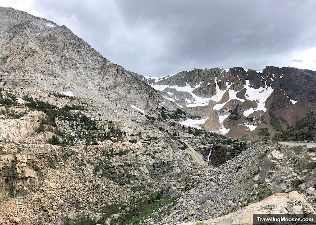
With the overcast and rainy skies, this was our view:
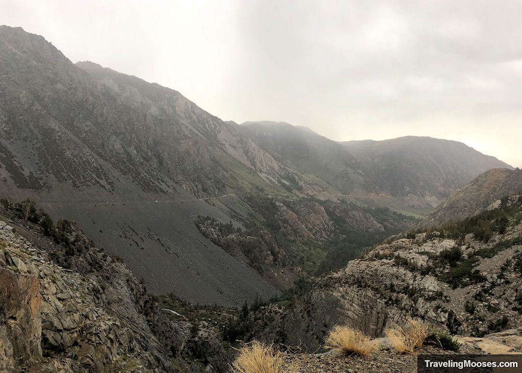
Just six hours later, the view would look like this:
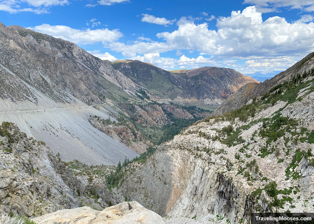
Despite it being mid-August, Yosemite received 244% of its normal snowpack during the 2022 / 2023 winter season. This meant the area still had some lingering snow and of course a few waterfalls.
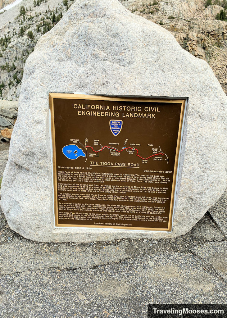
Be sure to check out the history of area while you’re at this stop.
You can also read about how and why the road was built. As the picture is incredibly difficult to read, I transcribed the text below.
Building the Tioga Road
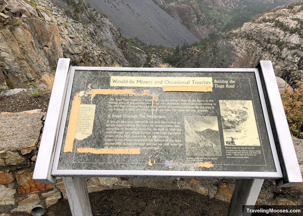
The Road to Broken Dreams
“The Tioga Road began as a rough trek up the western slope of the Sierra to the mining town of Bennettville near Tioga Pass. Although built to promote mining in the wild high country, the road served its intended purpose. By the time it was finished in 1883, the mining was over. The road fell into disrepair.”
A Road through the Wilderness
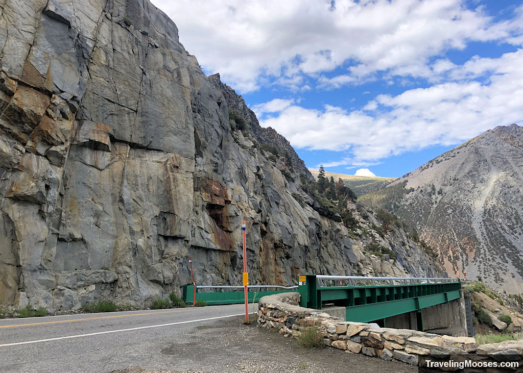
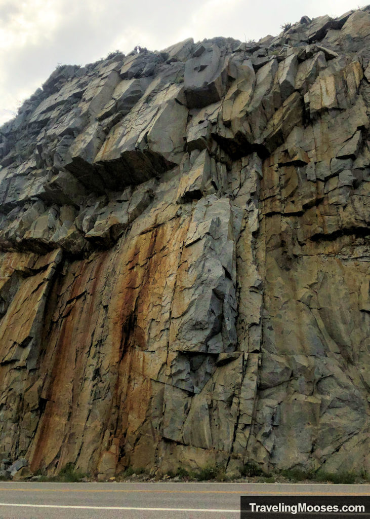
“A few decades later, interest in the road was revived as people began visiting the Sierra for personal reasons other than extracting its resources. Ironically, the push to blast the road through the Mining Canyon came from sightseers drawn to the high country by its wild beauty. Construction crews completed this portion of the road around 1910. Across the road you can see drill holes for the dynamite used during construction.”
Below is a picture of drill holes.
Less than 5 minutes up the road, you’ll come to the Tioga Pass Entrance station.
Tioga Pass Entrance Station
The station sits at 9945′ feet above sea-level and when they’re open, will collect entrance fees to the park.
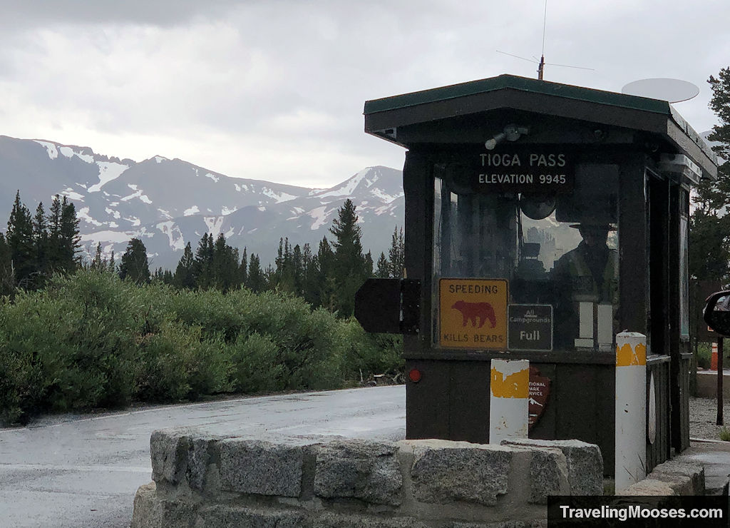
They do accept the America the Beautiful Pass, or you can purchase a 7-day or annual pass. Keep in mind, they only take credit cards.
We arrived at the station just before 9 a.m. and were met with a small line of cars.
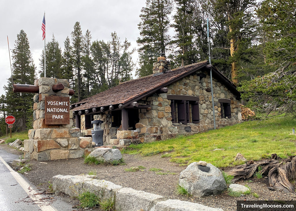
It didn’t take long before we were officially in the park and off to our first destination, Lembert Dome.
Lembert Dome
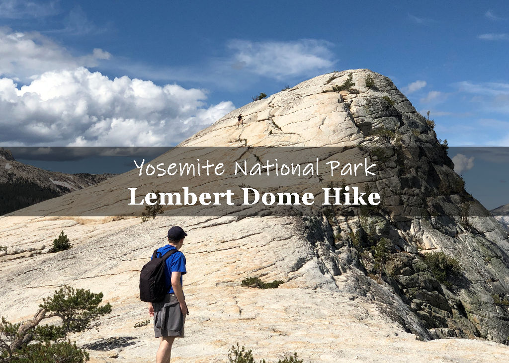
Lembert Dome is a granite rock dome, similar to its much larger cousin, Half Dome. The dome rises 800 feet above Tuolumne Meadows and can be accessed from the Lembert Dome picnic area or the Dog Lake Parking area.
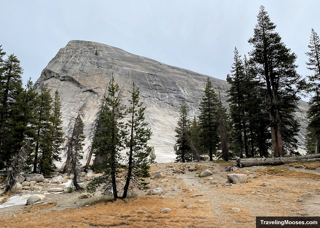
We consider Lembert Dome to be a more accessible and smaller cousin to the hugely popular Half Dome.
Learn more about our hike up Lembert Dome.
After enjoying the hike up Lembert and a lovely lunch along the banks of the Tuolumne River, we continued on our journey to the farthest part we would travel along Tioga Road, to Olmsted Point.
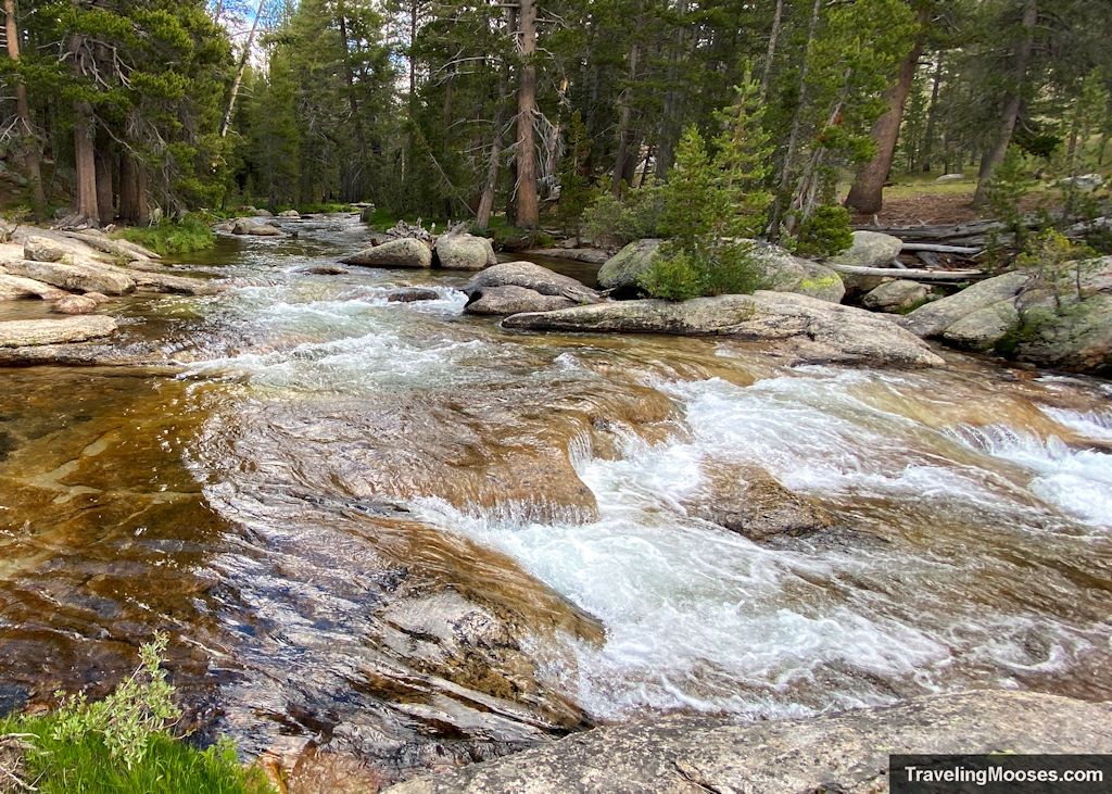
Olmsted Point
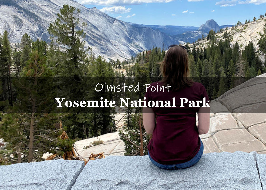
Olmsted Point is an easily accessible viewpoint along Tioga Road, about 10 miles from Tuolumne Meadows. We found plenty of parking, spectacular views of Half Dome, Clouds Rest and the surrounding Yosemite Valley.
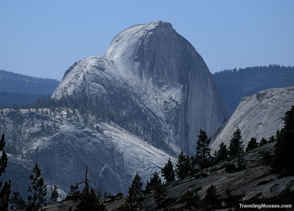
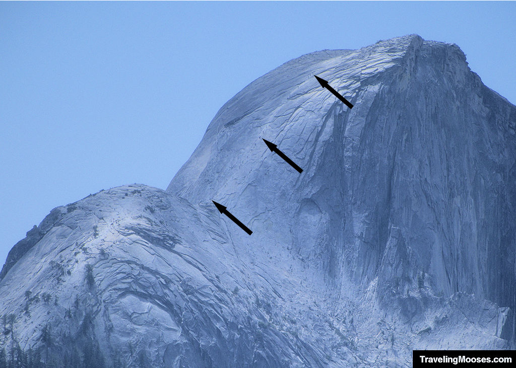
You can also enjoy a short 0.25-mile one-way hike to closer views of Half Dome. Surprisingly, few visitors were willing to take the short hike when we visited. Be sure to bring binoculars so you can see hikers climbing up Half Dome.
Next up was a quick stop at Tenaya Lake.
Tenaya Lake
Tenaya Lake is famous for its turquoise waters and is surrounded by large granite domes and mountains.
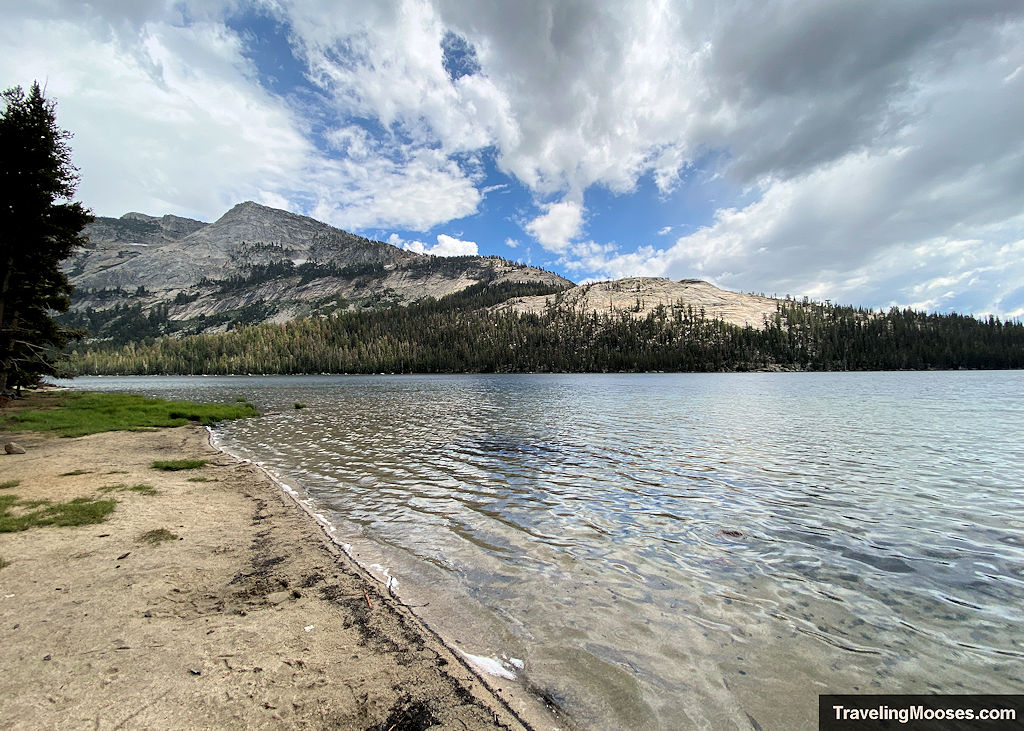
The lake was named after Chief Tenaya, the last chief of the Yosemite Indians and is popular with visitors for picnics and swimming.
When we arrived at the lake it had started raining again. Despite the rain, we found several visitors enjoying a dip in the chilly waters. As we were getting ready to leave, the sun peeked out briefly before we moved onto our last stop at Tuolumne Meadows.
Tuolumne Meadows
Tuolumne Meadows is a high-elevation meadow clocking in at 8,600′. Visitors will enjoy the lush green grass, wildflowers, occasional wildlife sightings and the cascading Tuolumne River wandering through the area.
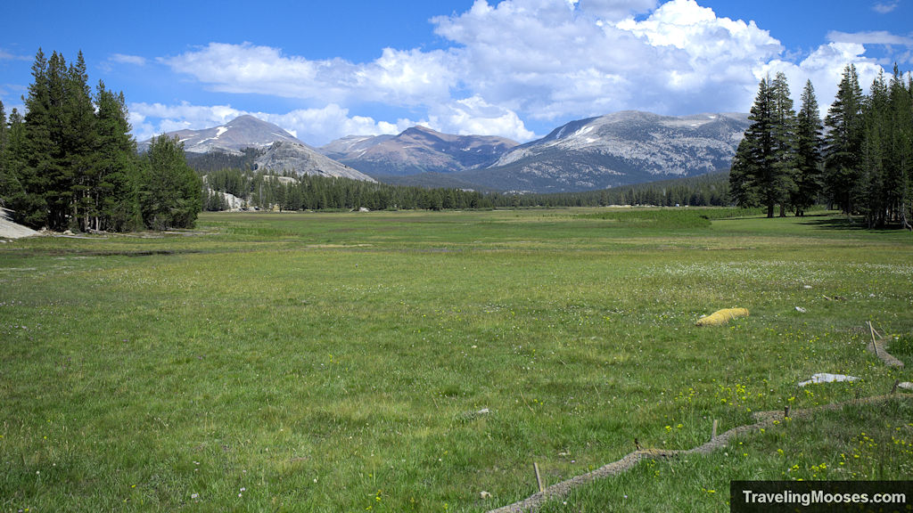
The viewpoint above was easily accessible by a pull out off the side of the road. It reminded me of the lush green meadows in Zelda Breath of the Wild. I also half expected a bear to come meandering through the meadow looking for a picnic basket or beehive full of honey.
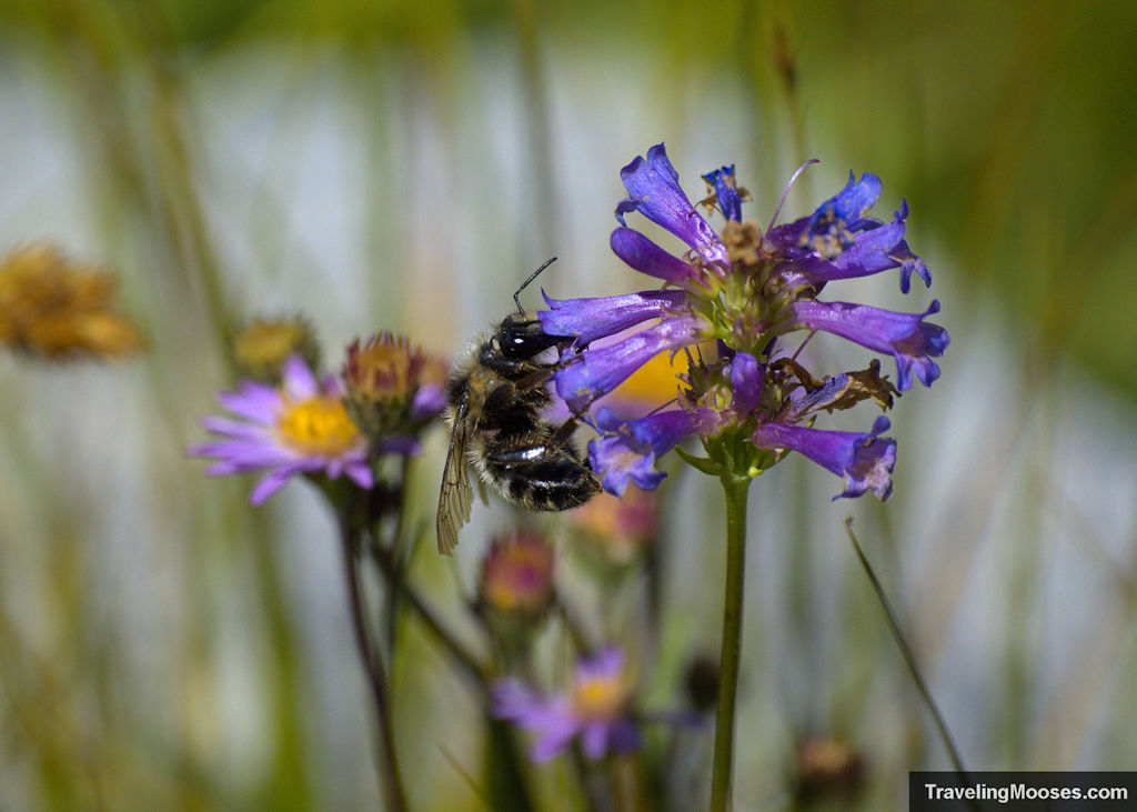
Yes, there were plenty of bees in the meadow!
More Tioga Pass Photos
After we finished up at the Tuolumne Meadows, we decided to make our way back to the park entrance and head back towards Mammoth Lakes.
If you still have energy after the park, you can also check out Mono Lake on the way back to Mammoth Lakes.
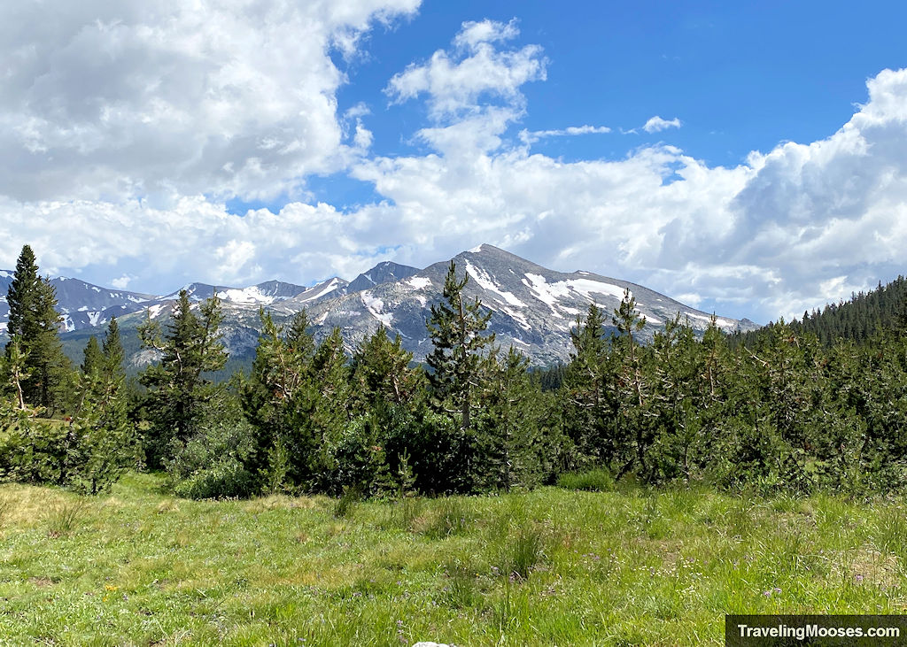
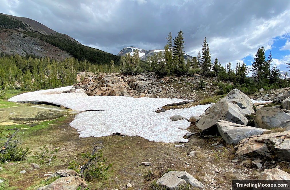
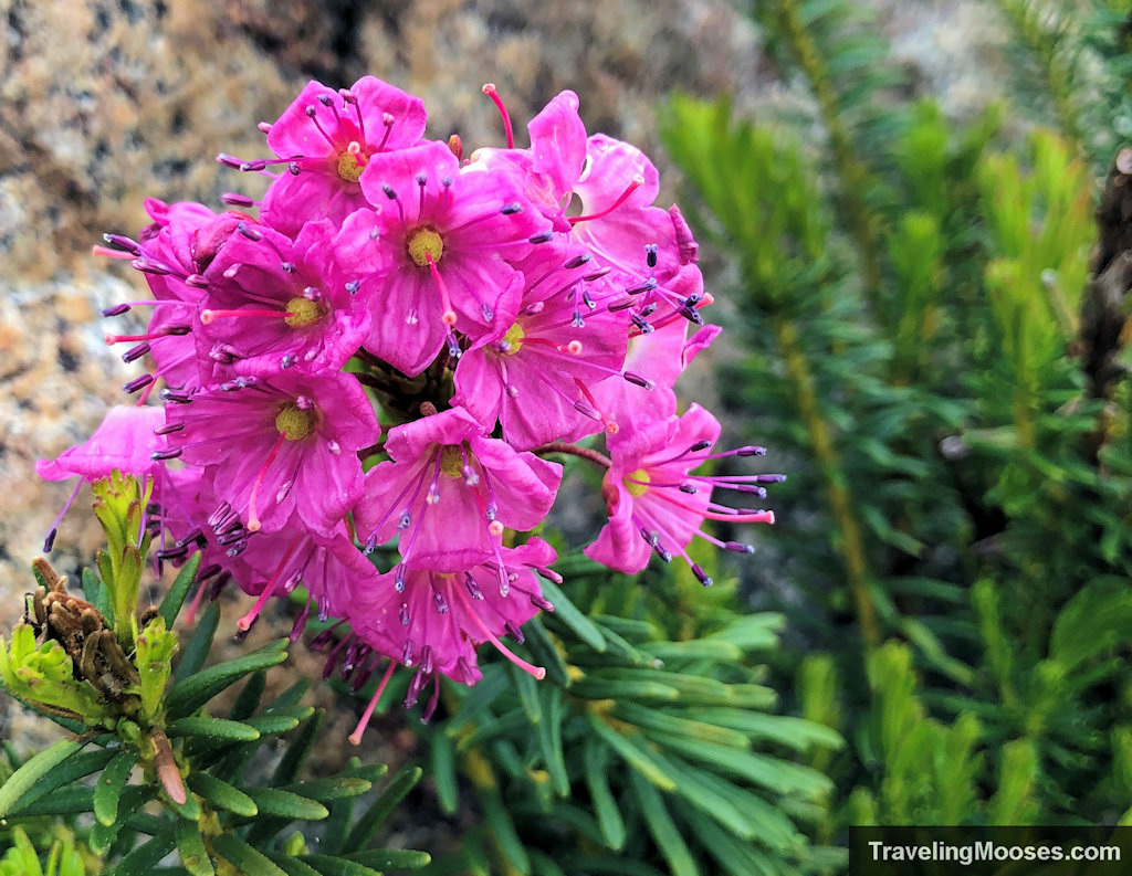
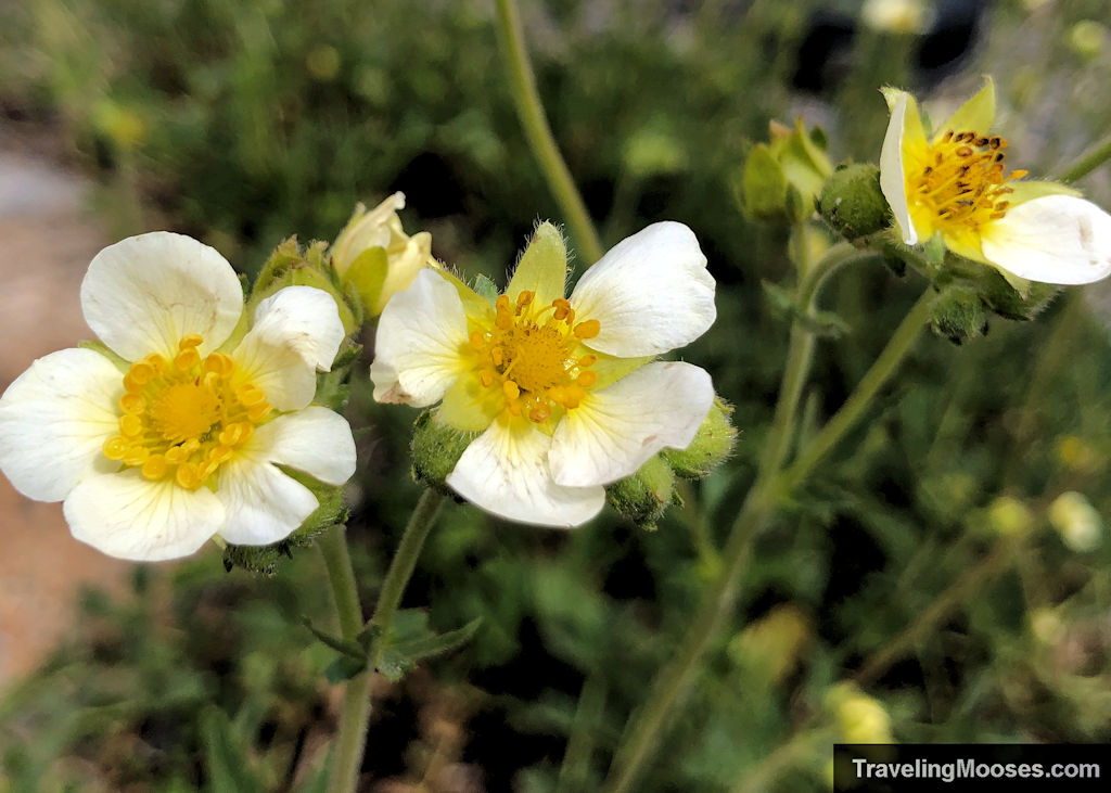
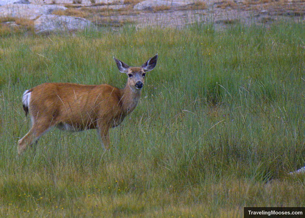
Here are a few more photos of our journey:
Is visiting Tioga Pass Road worth it?
Rating: 4.5 Mooses

What we liked:
- There’s something for everyone along Tioga Pass Road, whether it’s a scenic-view, hiking, photography or learning about the area at the wilderness center, most visitors won’t be disappointed.
- The scenery is nothing short of breathtaking.
- There is an abundance of hiking trails in the area ranging from short day hikes to wild backcountry.
What we didn’t like:
- The weather is best in July and August, but even then, you may experience thunderstorms and bad weather. When we visited, the rain seemed to pass quickly. Be sure to check the forecast.
- Parking at some of the trailheads and along Tenaya Lake can be a challenge if you’re there during the busy season.
Verdict: Tioga Pass Road is a worth the trip!

